Backroads Around Las Vegas, Gold Butte
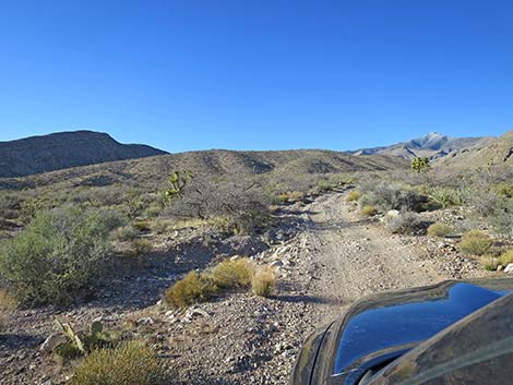
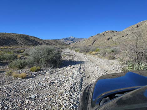
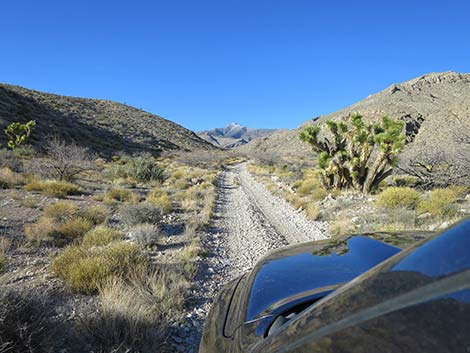
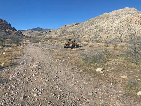
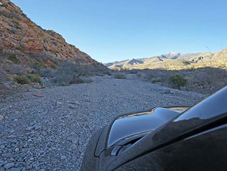
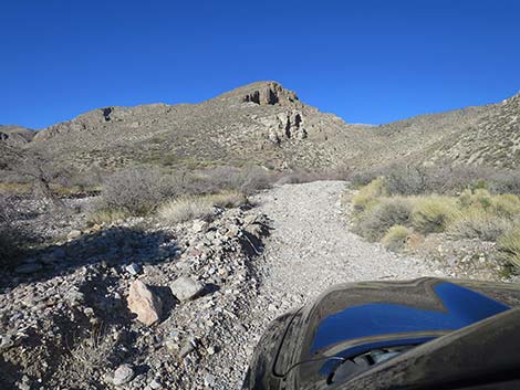
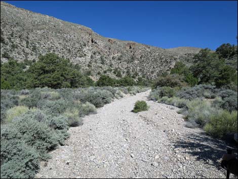
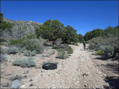
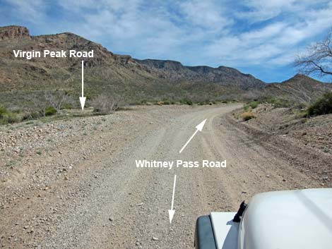 Whitney Pass Road at Virgin Peak Road (view E) |
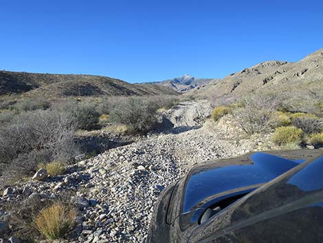
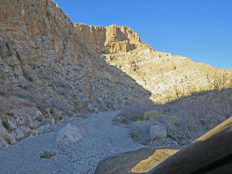
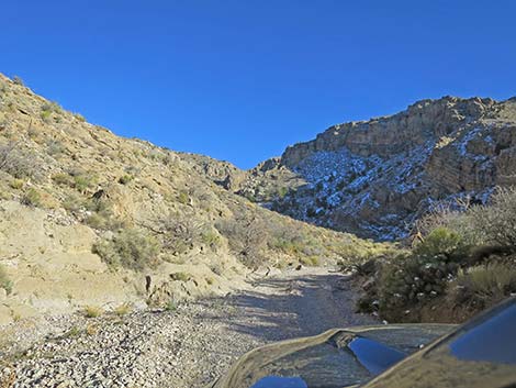
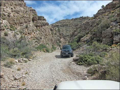
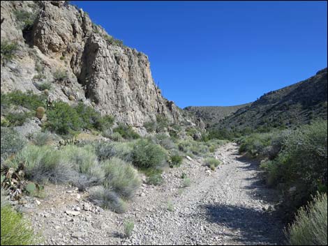
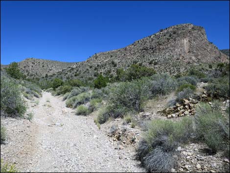
Note (Mar 2022): The road is open (barely) for full-sized pickups to near the old trailhead, and for normal jeep-type vehicles to a bit past the narrows where for a decade the road was blocked by boulders. ATVs and rock-hopper jeeps can continue up the canyon for another 2 miles to 1/4-miles past Virgin Peak Trailhead. Overview Virgin Peak Road runs about 4 miles from Whitney Pass Road to about 1/4 miles past an old cowboy campsite. The road runs across desert flats and up into a deep, narrow canyon, which was totally washed out in 2018. The first mile has now been driven enough to make it generally passable in standard 4WD vehicles to Virgin Corral. Stout vehicles can drive another mile (just before the old obstruction), and narrow vehicles can drive a bit farther into the narrow, washed-out canyon. Rock-hopper jeeps and ATVs can continue another two miles. Upper portions of the road remain totally washed out, so the road follows the wash, which is full of loose gravel and boulders. Link to Road Map. |
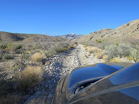
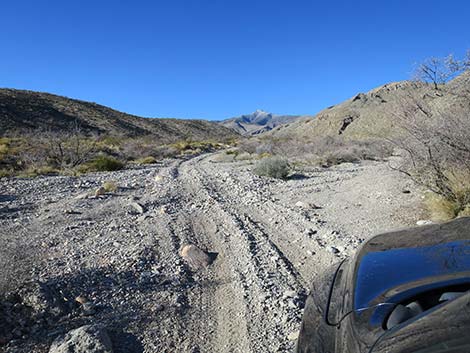
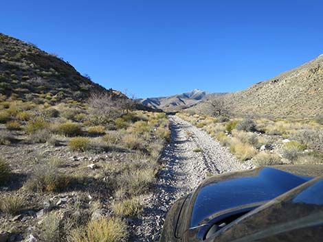
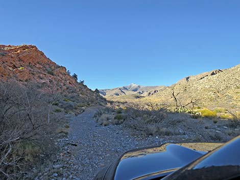
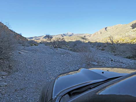
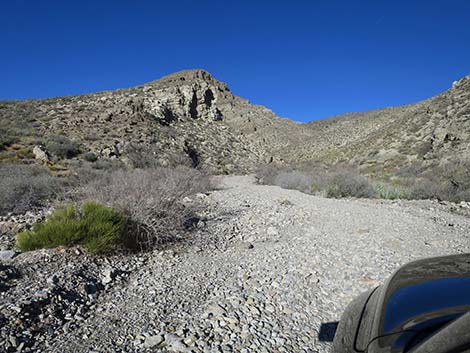
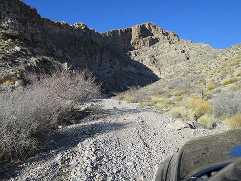
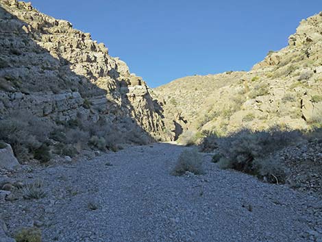
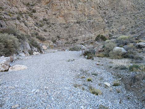
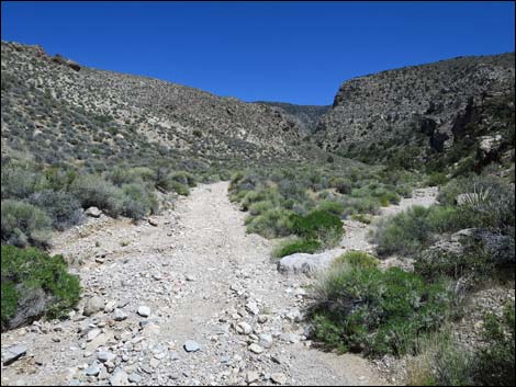
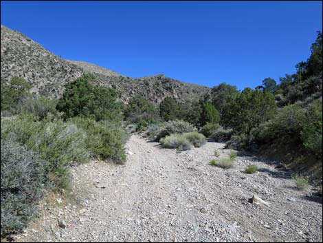
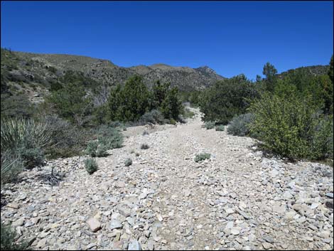
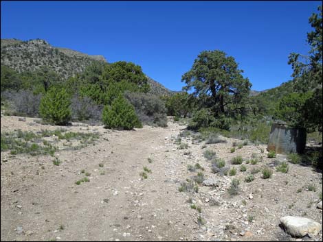
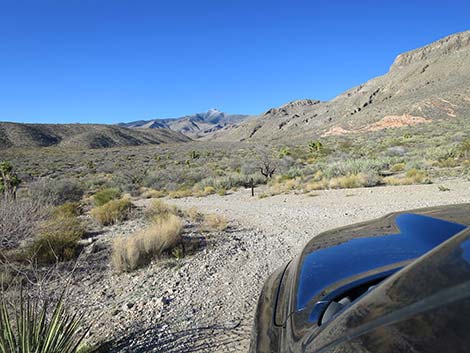 Starting onto Virgin Peak Road (view N) |
Watch Out Other than the standard warnings about being in the desert, ... this is a wild and remote area without services of any kind (no restrooms, no water, no gas, no food, no cell service). Bring what you need to survive. Be prepared and be self-reliant. It is a big place, but someone will eventually find you if you stay on a main road, but be prepared to survive alone for a day, or even two or more days if you get off the main road. Upper portions of the road are totally washed out, so be prepared for self-rescue should your vehicle become high-centered on a boulder or otherwise stuck in this remote area. While out, please respect the land and the other people out there, and try to Leave No Trace of your passage. Also, this is a remote area, so be sure to bring the 10 Essentials. |
 |
Getting to Virgin Peak Road Virgin Peak Road is located out in Gold Butte north of Lake Mead, about 2-1/4 hours northeast of Las Vegas. From Las Vegas, drive out to Whitney Pocket at the end of the paved Gold Butte Road. At Whitney Pocket, turn left onto Whitney Pass Road and drive east 2.3 miles. Whitney Pass Road runs through a narrow gap in a rocky ridge (Quail Point) and quickly arrives at a side road on the left. This is Virgin Peak Road. |
 |
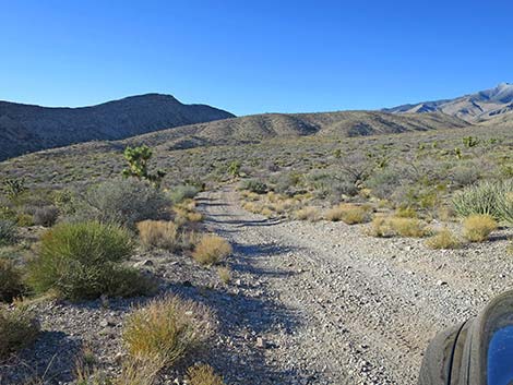
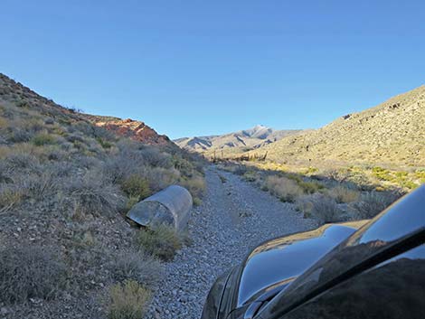
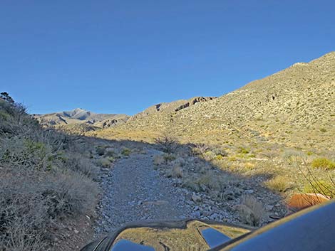
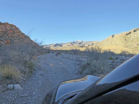
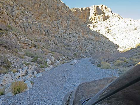
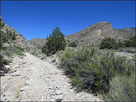
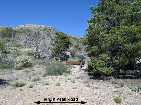
The Road From Whitney Pass Road (Table 1, Site 0937), Virgin Peak Road runs north up a broad valley. The road is a bit rocky in places, but it generally is a good road. As the valley narrows, the road begins to run along the base of the hills on the west side, then arrives at an old corral (Site 0938) with gates, fencing, a water tank, and old vehicles. This is an interesting place to stop and poke around for a few minutes. Please respect the history here and don't remove historic trash. Continuing, at about 300 yards past the corral, the road forks. Virgin Peak Road stays right and begins to climb into a narrow canyon. The road is a bit loose with deep gravel in places, but generally is okay. This, however, is the road on which I decided I really needed a 4WD next time. |
 |
At about 1 mile out, the road winds up to a wide spot in the narrow canyon, which is a good spot to turn around full-sized pickup trucks. Narrower vehicles can continue up the canyon and past the old trailhead parking (Site 0939) at the narrowest spot, which had been impassable to normal vehicles for a decade. A few hundred yards farther up the canyon, obstructions block everything except OHVs and rock-hopper jeeps. This is the new Virgin Peak trailhead and the end of the "regular" road, however, OHVs can continue another 2 miles up the canyon to a bit past the old cowboy camp. |
 Approaching worst washout on the road (view N) |
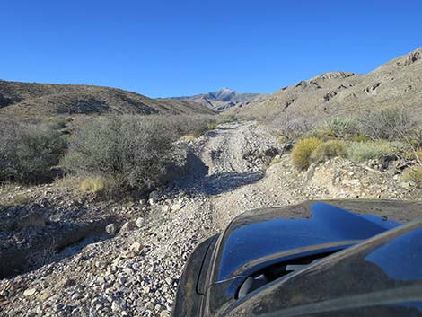 Steep dip into and out of worst washout on the road (view N) |
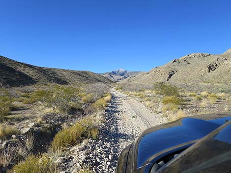
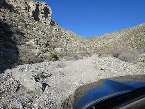
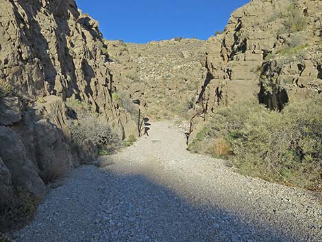
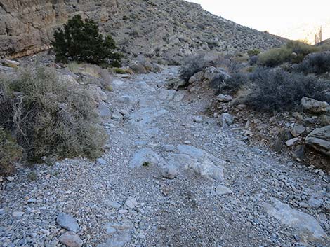
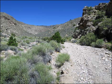
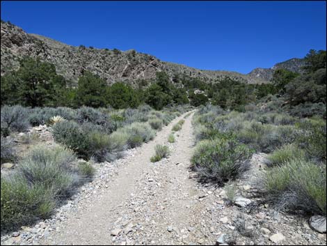
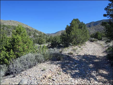
 Virgin Peak Road continues (view N) |
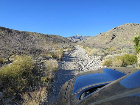
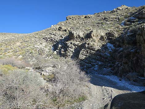
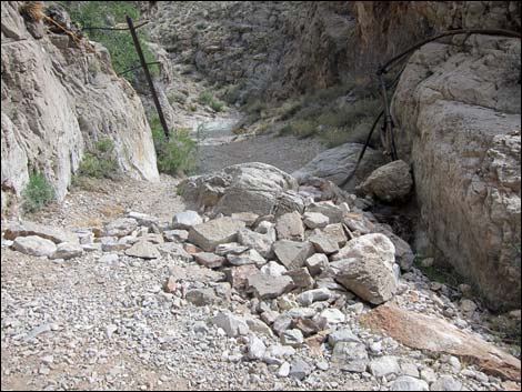
 Flood debris still cover the road (view N) |
 |
 |
 |
 |
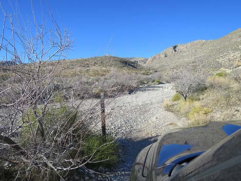
 Approaching an abandoned watering trough |
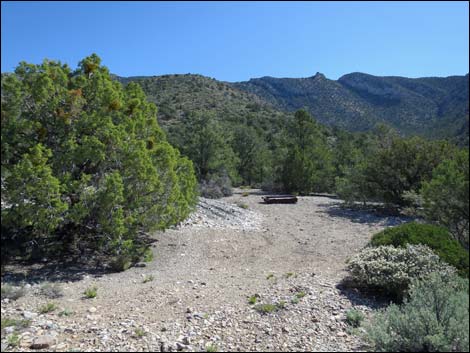
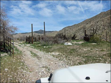 Approaching Whitney Corral (view NW) |
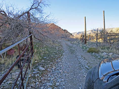 The road passes through an old gate (view N) |
 Inside the corral area (view N) |
 Exiting the corral through a second gate (view N) |
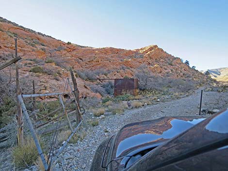
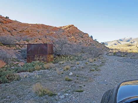 Old water tank beside the road (view N) |
 The road passes the old truck (view N) |
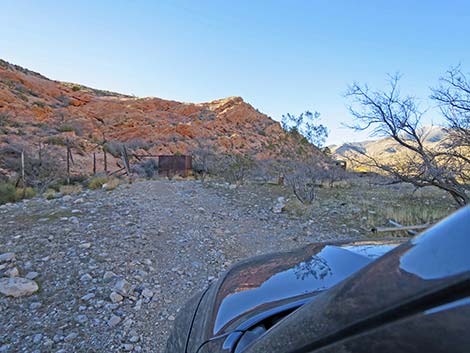
 Beyond the corral, the road becomes much narrower (view N) |
 Narrow road on bench above the wash (view N) |
 The road enters the wash (view N) |
 The road runs in the gravel flood debris (view N) |
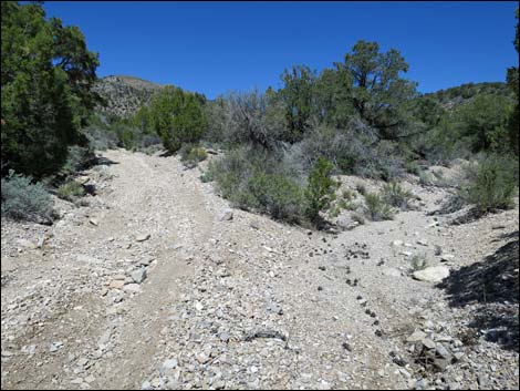
 Fork in the road; either side works (view N) |
 The fork to the right is narrow (view N) |
 Returning to the main wash (view N) |
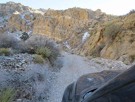
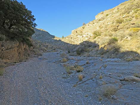
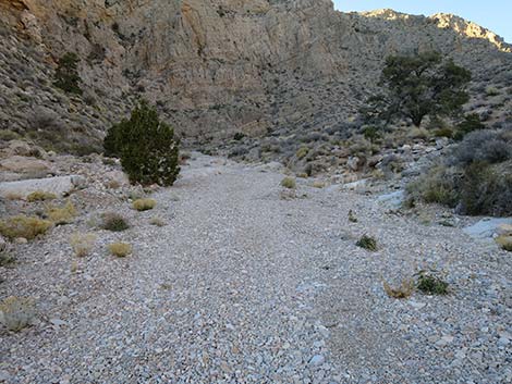
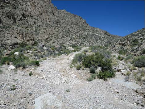
 The road now simply follows the washed out wash channel |
 Following the washed out wash channel |
 Rocky obstacles don't show well in this lighting |
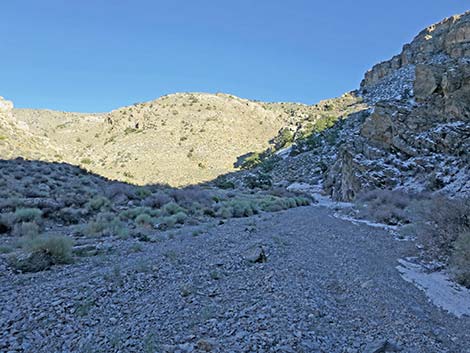
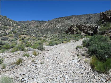
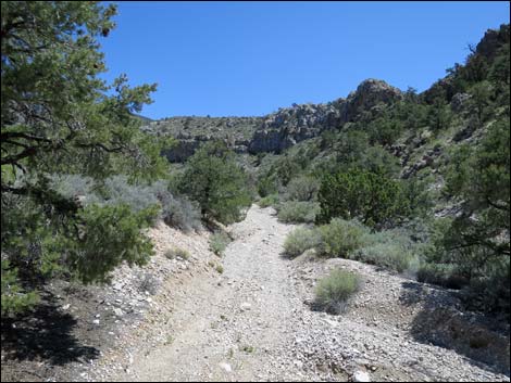
 The wash runs into a narrow canyon |
 Getting ready for more desert pinstripes |
 Approaching a narrow passage between two boulders |
 Narrow passage between two boulders |
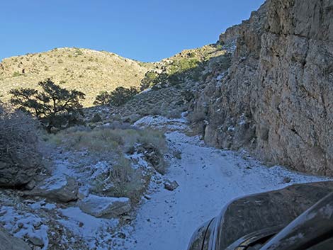
 More large rocks in the road |
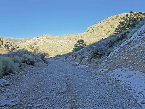
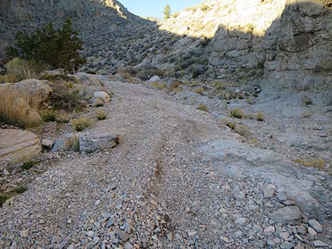
 A bit of easy road |
 This wide spot is a good place to park a full-sized truck |
 Beyond the wide spot, a narrow spot |
 Approaching more large rocks in the road |
 Approaching the previous Virgin Peak trailhead |
 Vehicle parked at previous Virgin Peak Road trailhead (view E) |
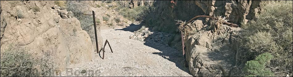
 Vehicles can get through the old washout at the narrows |
 At narrows, road used to be blocked by boulders (view E) |
 Beyond the old trailhead, a narrow track continues |
 Lots of gravel and big rocks |
 This rocky step looked worse in real life |
 More large rocks |
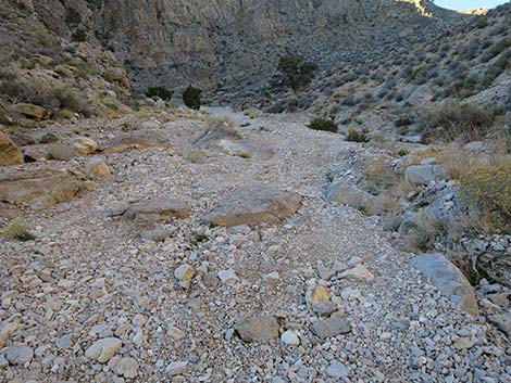
 A bit of open gravel |
 Another series of rocky steps |
 Yet another large boulder |
 More rocky steps |
 A final bit of open gravel |
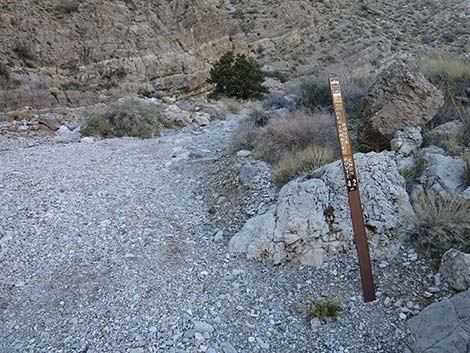 Designated route sign at new trailhead parking |
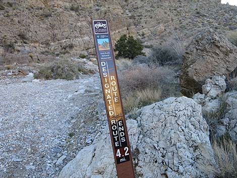 Designated route sign |
 Steep, rocky gully that blocks all but the hardiest of vehicles |
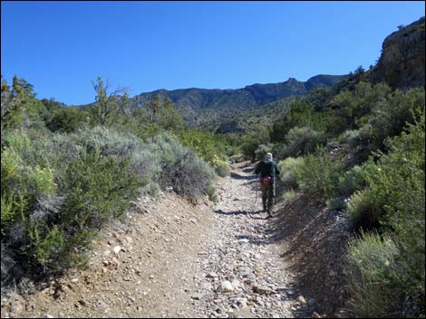
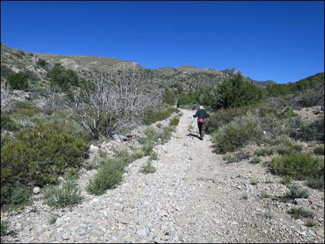
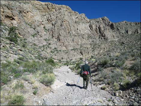 Hiker on the road |
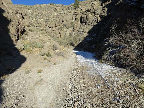
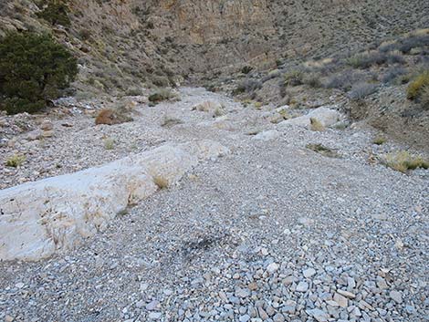
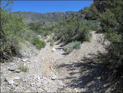
 This road is washed out; stay left in the wash bottom (view N) |
 Old road follows the wash bottom (view N) |
 Old road follows the wash bottom, which is washed out (view N) |
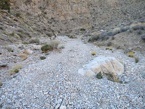
 Old road follows the wash bottom, which is washed out (view N) |
 Old road follows the wash bottom, which is washed out (view N) |
 Old road follows the wash bottom, which is washed out (view N) |
 Old road follows the wash bottom, which is washed out (view N) |
 Old road follows the wash bottom, which is washed out (view N) |
 Old road follows the wash bottom, which is washed out (view N) |
 Old road follows the wash bottom, which is washed out (view N) |
 Old road follows the wash bottom, which is washed out (view N) |
 Old road follows the wash bottom, which is washed out (view N) |
 Old road follows the wash bottom, which is washed out (view N) |
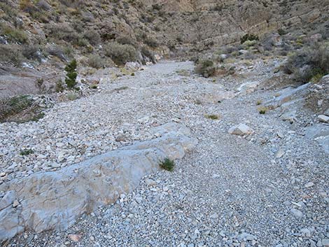
 A short bit of road is not washed out (view N) |
 A short bit of road is not washed out (view N) |
 Old road follows the wash bottom, which is washed out (view N) |
 Watering trough and agave roasting pit on spur road right (view E) |
 Old road follows the wash bottom, which is washed out (view N) |
 Road exits wash to the right (this spot is badly washed out (view N) |
 Old ranching junk begins to appear (view N) |
 First of three water tanks (on the right; view N) |
 Old watering trough on the left side of the road (view NW) |
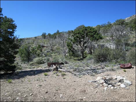 Old campsite with ranching junk (view SW) |
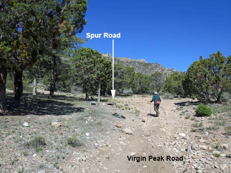 After campsite, road approaches spur road left (view N) |
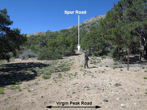 Spur road (view W from Virgin Peak Road) |
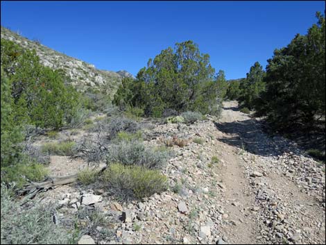
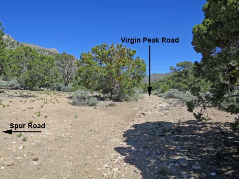 Virgin Peak Road continues another 1/4-miles (view N) |
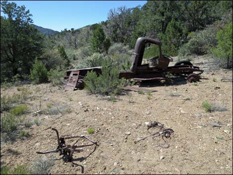 Old truck at Cowboy Campsite (view SW) |
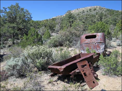 Old truck at Cowboy Campsite (view W) |
 More to come ... |
Table 1. Highway Coordinates Based on GPS Data (NAD27; UTM Zone 11S). Download Highway GPS Waypoints (*.gpx) file.
| Wpt. | Location | Latitude (N) | Longitude (W) | Elevation (ft) | Point-to-Point Distance (mi) | Cumulative Distance (mi) |
|---|---|---|---|---|---|---|
| 0937 | Whitney Pass Rd at Virgin Peak Rd | 36.53264 | 114.10125 | 3,856 | 0.00 | 0.00 |
| 0938 | Virgin Peak Rd at old Corral | 36.54405 | 114.10402 | 4,142 | 0.83 | 0.83 |
| 1882 | Virgin Peak Road at Whitney Wash Overlook Road | 36.54636 | 114.10468 | 3,962 | 0.17 | 1.00 |
| 0939 | Virgin Peak Rd at Washout | 36.55301 | 114.09788 | 4,481 | 0.88 | 1.88 |
| 0456 | Virgin Canyon Road at Fork | 36.55875 | 114.09190 | 5,430 | 0.63 | 2.51 |
| 1929 | Virgin Peak Road at Spur | 36.57435 | 114.09327 | 5,373 | 1.38 | 3.89 |
Happy Hiking! All distances, elevations, and other facts are approximate.
![]() ; Last updated 240326
; Last updated 240326
| Backroads Around Las Vegas | Hiking Around Las Vegas | Glossary | Copyright, Conditions, Disclaimer | Home |