
Hiking Around Las Vegas, Gold Butte National Monument

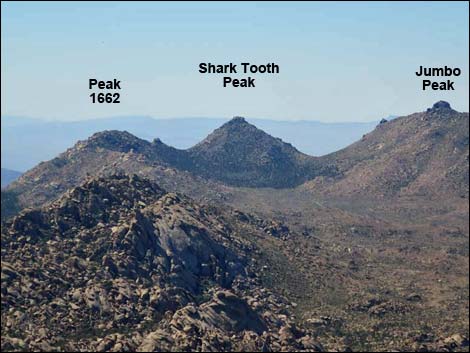 Shark Tooth -- Symmetrical peak at head of Cedar Basin (view S) |
Overview Shark Tooth Peak, located towards the south end of Gold Butte National Monument, is extremely remote, steep, and rocky; and shaped like a shark tooth when seen from the north and south. When arriving at the trailhead, the route is obvious to follow: hike up to a saddle, then hike up the ridgeline to the summit. Although not the highest in the range, this peak stands out for its symmetrical shape that is recognizable from afar and for spectacular summit views. The views extend north across Cedar Basin, southeast across Jumbo Springs Wilderness Area into the Grand Canyon, and southwest to peaks in southern California. Link to hiking map. |
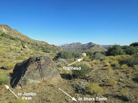
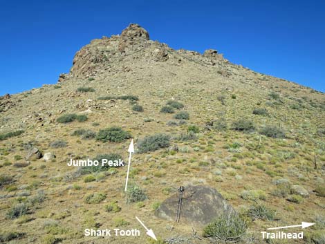
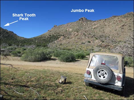 Shark Tooth--Jumbo Peak trailhead (view SW) |
Watch Out Other than the standard warnings about hiking in the desert, ... this is a fairly safe hike, but be extra careful on rocky outcrops where hikers could fall, and help is a long way off. This region is wild and remote and without services of any kind (no restrooms, no water, no gas, no food). Bring what you need to survive. Be prepared and be self-reliant. It is a big place, but someone will eventually find you if you stay on a main road, but be prepared to survive alone for a day or two, or even longer on side roads. Consider signaling the tourist helicopters that traverse the area coming and going from the Grand Canyon.While out, please respect the land and the other people out there, and try to Leave No Trace of your passage. Also, this is a remote area, so be sure to bring the 10 Essentials. The route approaches the edge of the Jumbo Springs Wilderness Area, so pay extra attention to respecting the land. |
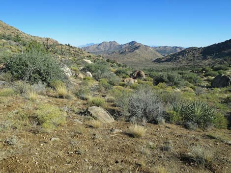
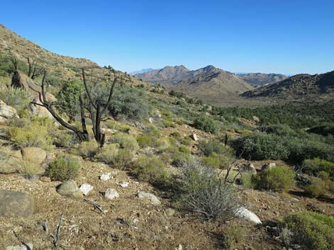
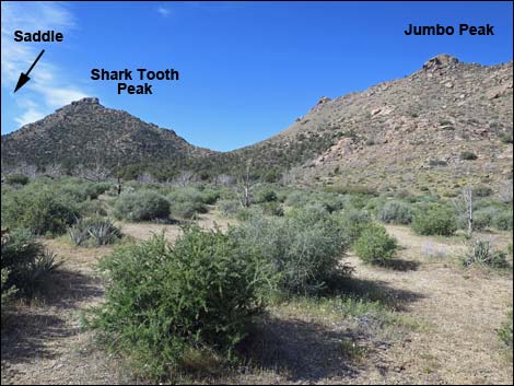 Starting towards bottom of valley (view SW from trailhead) |
Getting to the Trailhead Shark Tooth Peak is located out in Gold Butte National Monument at the northeast end of Lake Mead, about 3.5 hours northeast of Las Vegas in a wild, remote, and scenic area. From town, drive out to Gold Butte National Monument. From Whitney Pocket, continue south on the unpaved Gold Butte Road to Gold Butte Townsite. From there, Scanlon Road is the main road running southwest. Drive south on Scanlon Road for 1.9 miles to Quail Springs Wash (watch for a flash flood warning sign). Turn left and drive up Cedar Basin Road, which follows Quail Springs Wash into Cedar Basin. At 3.3 miles out, Cedar Basin Road forks at a white 55-gallon drum in a forested area, stay right on Cedar Basin Road. Passing historic corrals, Cedar Basin Road continues south into a broad canyon generally following a wash. When the road turns left out of the wash and starts up across the gentle hillside, watch for an open area among burned trees that serves as the trailhead. Don't get too far from the wash. Park here; this is the trailhead. |
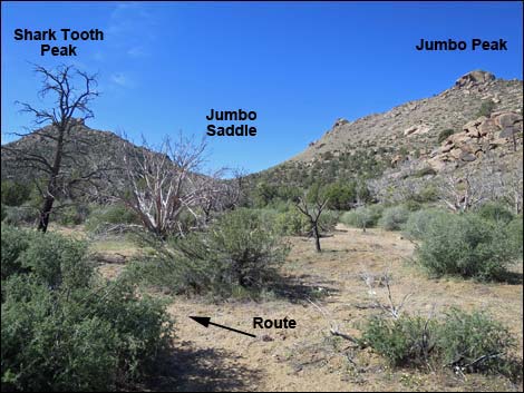 Route turns up bottom of the valley (view SW) |
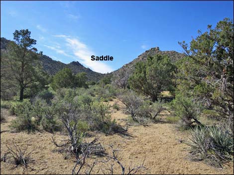
The Hike From the trailhead (Table 1, Waypoint 01), the route runs southwest and down into the wash in the bottom of the valley (Wpt. 02). Turning upstream, the route stays more to the left than seems necessary, as the route runs a bit left of due south aiming for the saddle on the east side of Shark Tooth Peak. The route runs up to the head of the valley (Wpt. 03). Getting to this point, the vegetation becomes more and more dense. The route starts up the gully, and here trees and enormous boulders conspire with dense shrubby vegetation to hinder the movements of hikers. With persistence and a lot of winding among trees and boulders, eventually the grade eases, the vegetation thins, and passing one last huge boulder, the route arrives at a saddle on the ridgeline (Wpt. 04). The expansive view from the saddle looks down across the Jumbo Springs Wilderness Area and out across the Colorado River and into the Grand Canyon. For hikers who have had enough, consider angling left and out to the Jumbo Springs Overlook. |
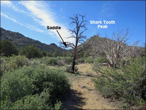 Aiming for the saddle east of Shark Tooth Peak (view S) Aiming for the saddle east of Shark Tooth Peak (view S) |
From the saddle, views also include craggy Peak 1662 to the east and Shark Tooth Peak to the west. From this vantage, it is apparent that climbing directly up the east ridge Shark Tooth Peak would involve climbing among large boulders and negotiating rocky crags that cap the summit. To avoid the summit crags, from the saddle the route starts straight up the ridgeline towards the peak, but then after about 50 yards, cuts left under a large overhanging boulder and continues up and left across the hillside until reaching a large, unusually white boulder (Wpt. 05). Hiking in this direction, the route parallels the boundary of Jumbo Springs Wilderness Area. From the white boulder, the route turns more steeply uphill, but still angles up and left aiming for the South Ridge (Wpt. 06). Once upon the ridgeline, the route turns straight uphill and climbs the relatively gentle South Ridge to the summit (Wpt. 07). |
 |
Views from the summit cover a vast landscape, including the Grand Wash Cliffs in Arizona, the mouth of the Grand Canyon, the Colorado River, south-facing slopes of Jumbo Springs Wilderness Area, peaks down across Arizona, Lake Mead, Bonelli Peak, Valley of Fire, the Sheep Range, and the Jumbo Peak ridge. View North: Mormon Mountains, peaks into the far distance, perhaps Delamar Mountains, Virgin Peak. View East: Grand Wash, Grand Wash Cliffs, peaks in far distance (perhaps Mount Dellenbaugh). Through a gap in far ridge: Grand Canyon and Skyway (large white tents). View South: Colorado River flowing into Lake Mead creating a large delta, Cerbat Mountains, White Hills, and high peaks in far distance (Hualapai Mountains). |
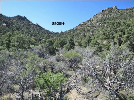 Dense vegetation approaching the head of the canyon (view S) |
View West: High peaks in far distance (Spirit Mountain), South McCullough Range, River Mountains, Mount Potosi, the Red Rock Cliffs, Mount Charleston, Frenchman Mountain, Gass Peak, Sheep Range, then Jumbo Peak blocks the view. When ready, follow your footprints back to the trailhead, or consider descending the northwest ridge of Shark Tooth Peak down into the saddle below Jumbo Peak (Wpt. 08). The ridge is steep and rocky, but with a bit of route finding, the ridge makes an interesting descent. From the saddle, the route turns northeast and descends the left side of the canyon until returning to the bottom of Cedar Basin Valley. Turning north in the main wash, the route continues north over familiar terrain until it is advantageous (Wpt. 02) to exit the wash and return to the trailhead (Wpt. 01). |
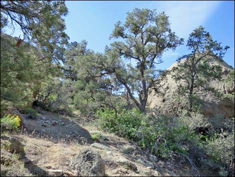 Steep, rocky hillside with lots of trees (view S) |
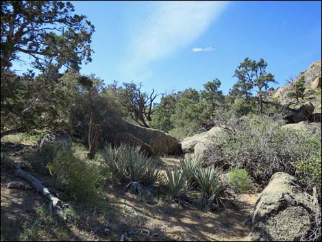 Less vegetation approaching the saddle (view S) |
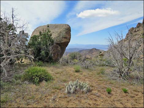 Saddle (view S) |
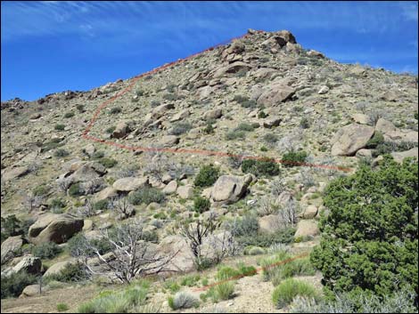 Saddle (view SW towards the peak) |
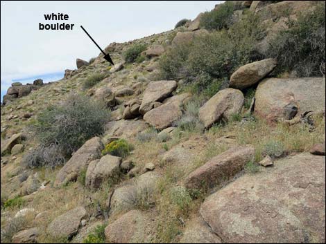 Traversing the sideslope (view SW towards white boulder) |
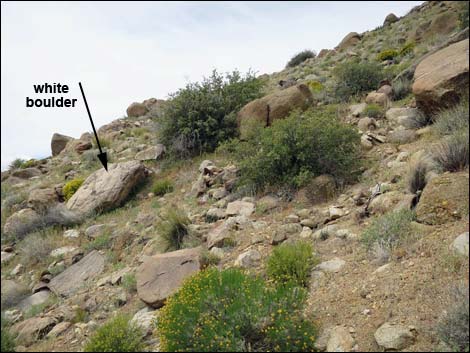 Traversing the sideslope (view SW towards white boulder) |
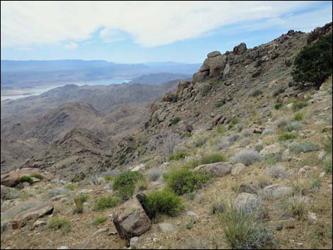 Hillside and scenery (view SW down into Wilderness Area) |
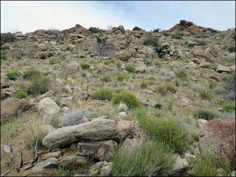 Approaching the South Ridge (view NW) |
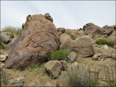 Steep South Ridge (view N towards summit) |
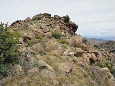 South Ridge approaching the summit (view N) |
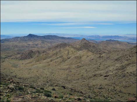 Summit (view W towards Bonelli Peak) |
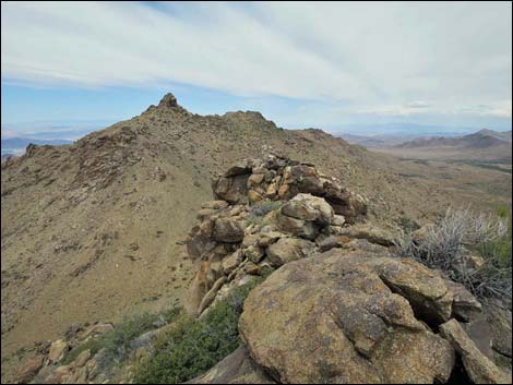 Summit (view NW towards Jumbo Peak) |
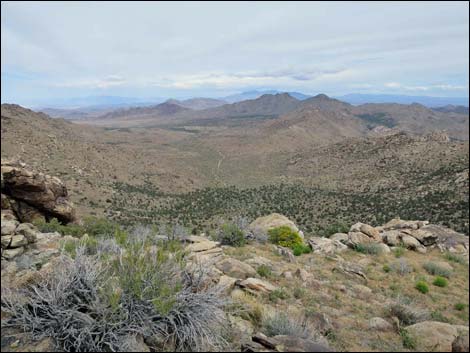 Summit (view N towards Virgin Peak) |
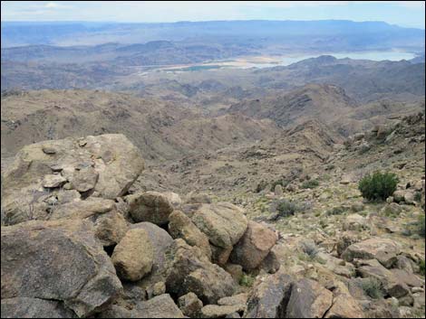 Summit (view S towards Colorado River) |

Summit (view NW towards Las Vegas and Jumbo Peak)

Summit (view N towards Virgin Peak and Grand Wash Cliffs)

Summit (view S towards Grand Canyon, Colorado River, and Lake Mead)
Descending over the Ascent Route
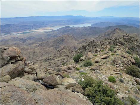 Summit (view S along South Ridge) |
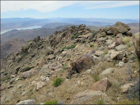 Descending off east side of South Ridge (view S) |
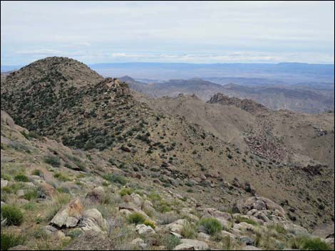 Descending steep slopes (view E) |
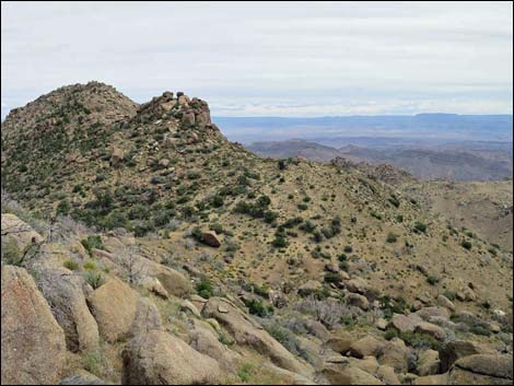 Descending steep slopes towards saddle (view E) |
Descending towards Jumbo Saddle
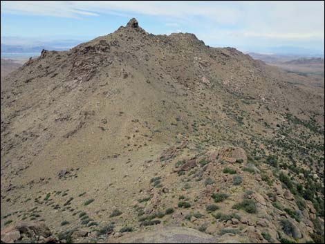 Summit (view NW towards Jumbo Peak) |
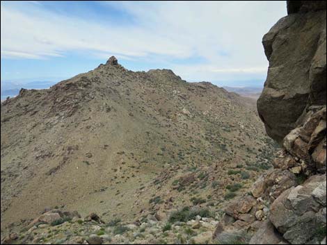 Passing west of cliffs (view NW) |
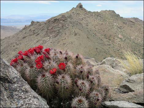 Engelmann's Hedgehog Cactus in bloom (view NW) |
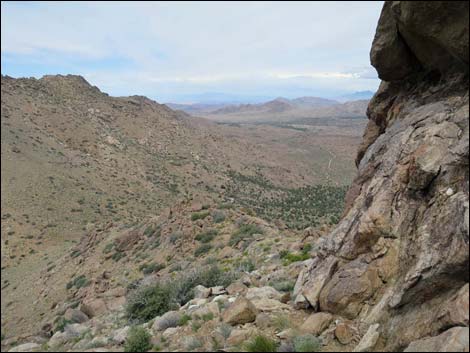 Passing west of more cliffs (view NW) |
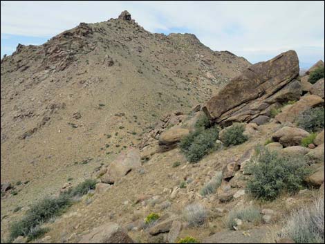 Traversing steep hillsides (view NW) |
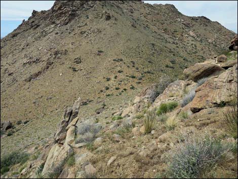 Traversing steep hillsides (view NW) |
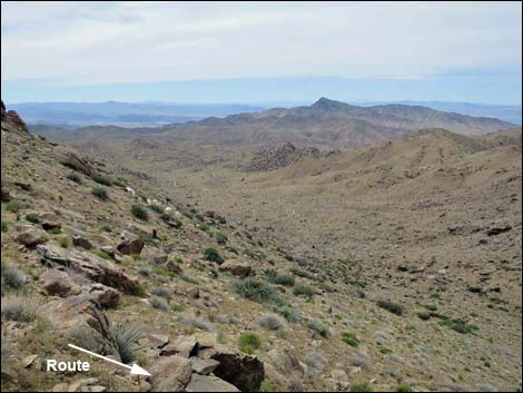 Side slopes (view W towards Bonelli Peak) |
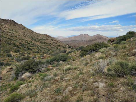 Approaching Jumbo Saddle (view N) |
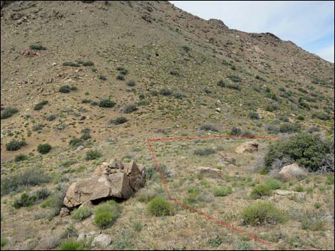 Approaching Jumbo Saddle (view N) |
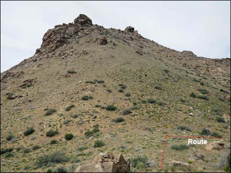 Approaching Jumbo Saddle (view N) |
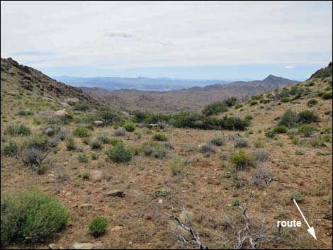 Scenery from Jumbo Saddle (view W) |
 Jumbo Saddle (view NE) |
 Jumbo Saddle (view NW) |
 Starting down from the saddle (view NE) |
 |
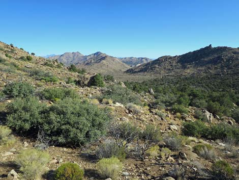 |
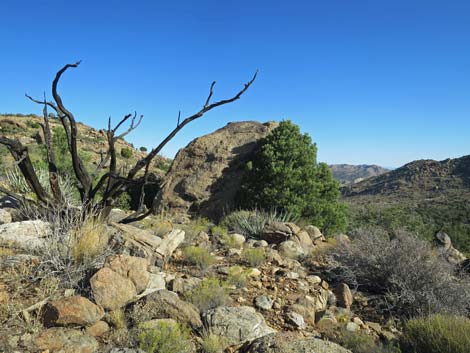 |
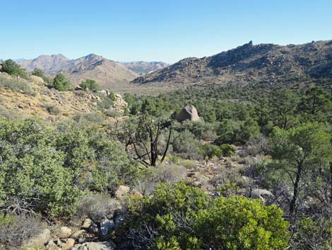 |
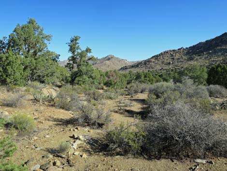 Arriving in the desert valley (view NE) |
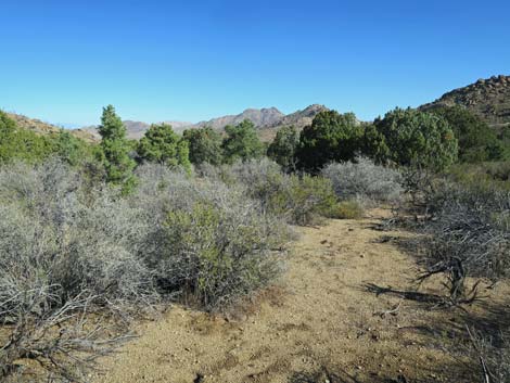 Crossing the desert valley (view NE) |
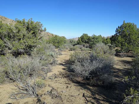 Crossing the desert valley (view NE) |
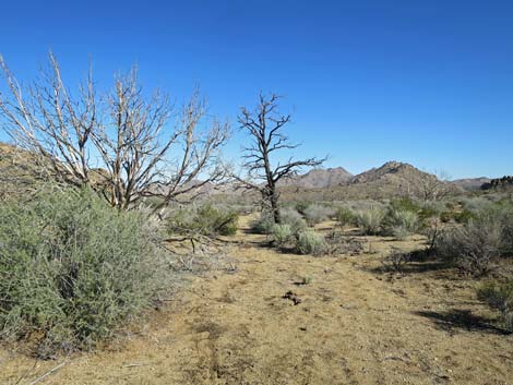 These dead trees are a good landmark (view NE) |
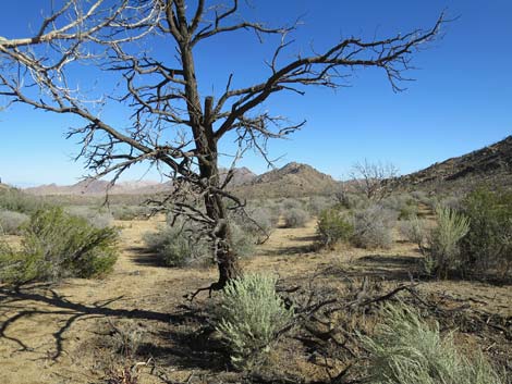 At the dead trees, turn more east towards trailhead (view NE) |
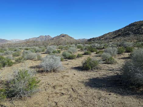 Vehicles become visible in the middle distance (view NE) |
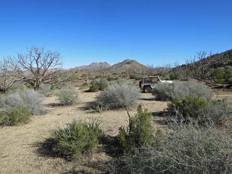 Approaching the trailhead (view NE) |
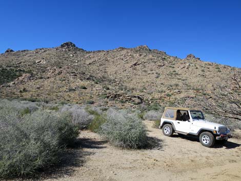 Trailhead (view SW towards Jumbo Peak) |
Table 1. Hiking Coordinates and Distances based on GPS Data (NAD27; UTM Zone 11S). Download hiking GPS waypoints (gpx) file.
| Wpt. | Location | UTM Easting | UTM Northing | Elevation (ft) | Point-to-Point Distance (mi) | Cumulative Distance (mi) | Verified |
|---|---|---|---|---|---|---|---|
| 01 | Jumbo Peak Trailhead | 754281 | 4010898 | 4,685 | 0.00 | 0.00 | GPS |
| 02 | Wash | 754217 | 4010832 | 4,692 | 0.06 | 0.06 | GPS |
| 03 | Base of the Hills | 754430 | 4010133 | 4,872 | 0.51 | 0.57 | GPS |
| 04 | Saddle | 754454 | 4009865 | 5,111 | 0.25 | 0.82 | GPS |
| 05 | White Boulder | 754333 | 4009771 | 5,253 | 0.12 | 0.94 | GPS |
| 06 | South Ridgeline | 754224 | 4009737 | 5,460 | 0.11 | 1.05 | GPS |
| 07 | Shark Tooth Peak | 754223 | 4009828 | 5,559 | 0.08 | 1.13 | GPS |
| 08 | Jumbo Saddle | 753947 | 4010085 | 5,061 | 0.31 | 1.44 | GPS |
| 02 | Wash | 754217 | 4010832 | 4,692 | 0.56 | 2.00 | GPS |
| 01 | Jumbo Peak Trailhead | 754281 | 4010898 | 4,685 | 0.06 | 2.06 | GPS |
Happy Hiking! All distances, elevations, and other facts are approximate.
![]() ; Last updated 240326
; Last updated 240326
| Hiking Around Las Vegas | Gold Butte | Glossary | Copyright, Conditions, Disclaimer | Home |