
Southern Nevada Wilderness Areas

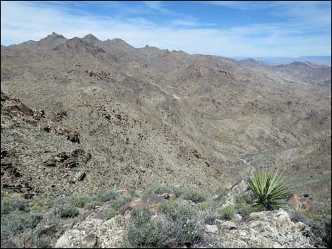 The best overview of the wilderness area (view NE) |
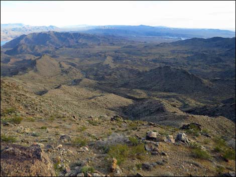
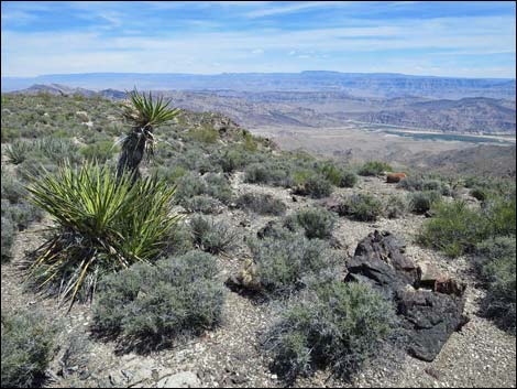
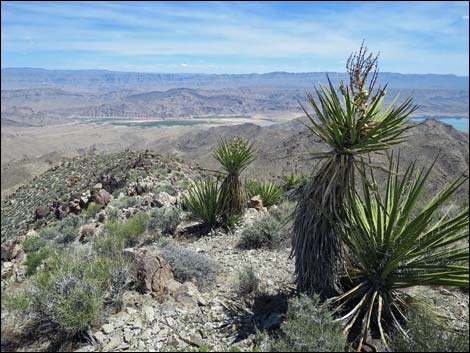
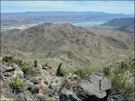
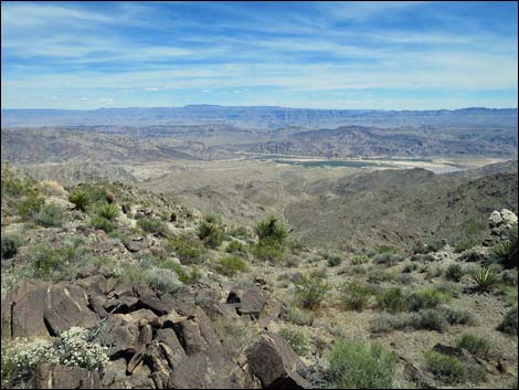
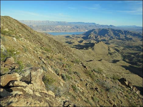
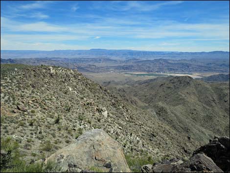
Overview Jumbo Springs is small (4,631 acres) wilderness area, measuring only about 3.5 miles long and 1.5 miles wide. What it lacks in size, it makes up for in that it is located in a remote, sparsely-vegetated, rugged region of granitic ridges and canyons on the far east end of Lake Mead. The area sits on the southeast side of Jumbo Peak, uphill from the boundary of Lake Mead National Recreation Area. Three major washes cut across the wilderness area, draining east and south towards the lake. Elevations range from a 4,700-ft ridge on the northwest side, to washes at about 2,700 feet in the southeast. The area offers grand views of Lake Mead and the lower reaches of the Grand Canyon. In Cottonwood Canyon, water can be found at springs and in water-polished granite potholes, otherwise the area is dry. Surprisingly, Jumbo Spring, which is dry, is outside the wilderness area to the west. |
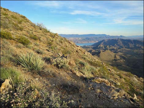
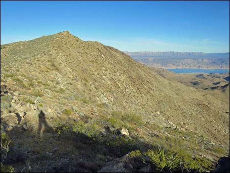 Steep, rocky side slopes characterize the area (view E) |
If you hike in wilderness areas, help protect them by learning about and reporting noxious and invasive weeds. Link to map of the wilderness area. Location The Jumbo Springs Wilderness Area is located about 55 air-miles east of Las Vegas, out in the Gold Butte Region north of Lake Mead and east of the Overton Arm, near the Nevada-Arizona border. |
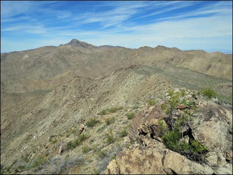 Steep, rocky side slopes (foreground; view W) |
Boundaries The northern and western boundaries of the wilderness area are not easily defined by geologic features, political boundaries, or section lines. Rather, the boundary generally was drawn irregularly to include rocky cliffs and mountain hillsides south and east of Jumbo Peak. Parts of the northern and western boundaries follow ridgelines, but not consistently. The western and southern boundaries border Lake Mead National Recreation Area. The wilderness area aligned north-south. The area is about 2-miles wide at the southern and northern ends, and then about 1-mile wide in the middle. |
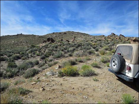 Windmill Road trailhead; the ridgeline is the boundary (view S) |
Access Access to the Jumbo Springs Wilderness is difficult. From the east, the area can be accessed from Devils Cove Road (very rough; 4WD required) that runs near the eastern boundary of the wilderness. A short spur road leads to a parking area at the base of Cottonwood Canyon. Hiking northwest up Cottonwood Canyon leads to the wilderness area. From the north, the wilderness area can be accessed from 2WD-HC roads that cross Cedar Basin to near the northern boundary. Hiking south over a rocky ridge east of Jumbo Peak leads into the wilderness area. From the west, the wilderness can be accessed from Scanlon Road (marginally 4WD; hiking east) via the Scanlon Ridge Route, and from Windmill Mine Road, a spur off Scanlon Road (marginally 4WD; hiking south) via the Southern Ridges Loop Route. From the south, the wilderness can be accessed from Devils Cove Road (hiking northwest) and Scanlon Road (hiking northeast). |
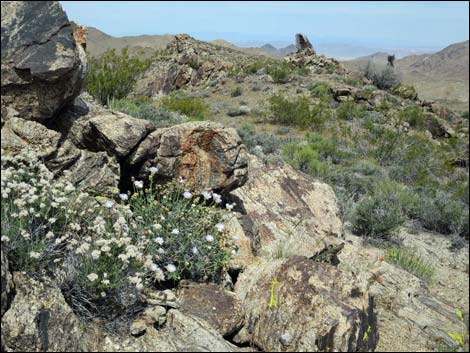
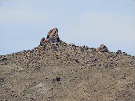 Granitic domes, spires, and boulder fields cap ridges (view SE) |
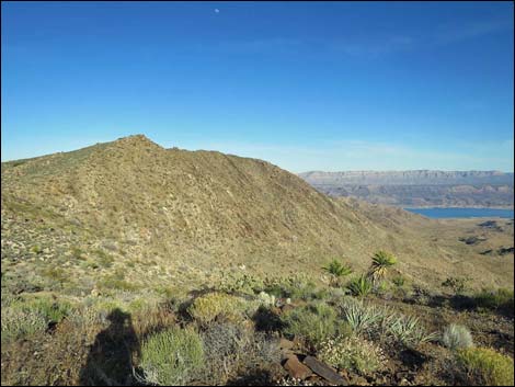
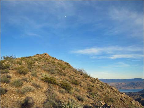
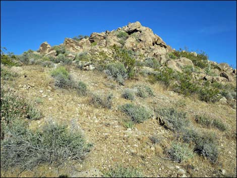
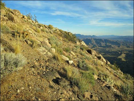
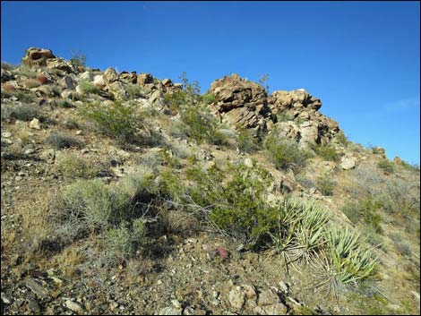
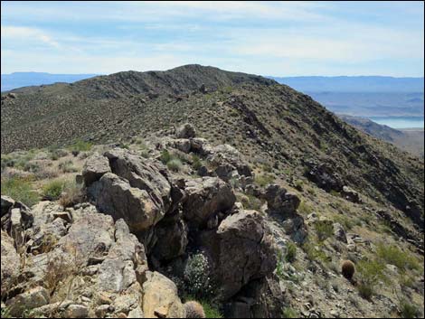
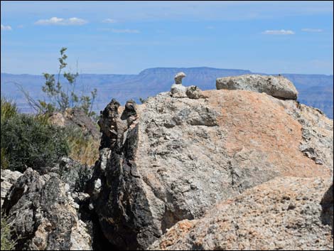
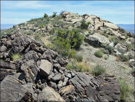
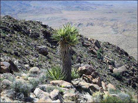
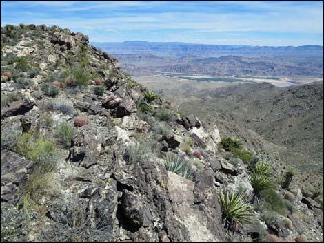
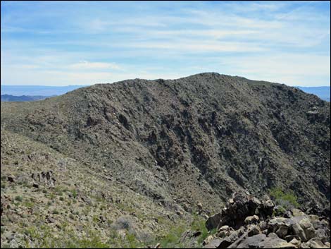
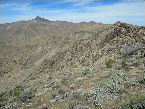
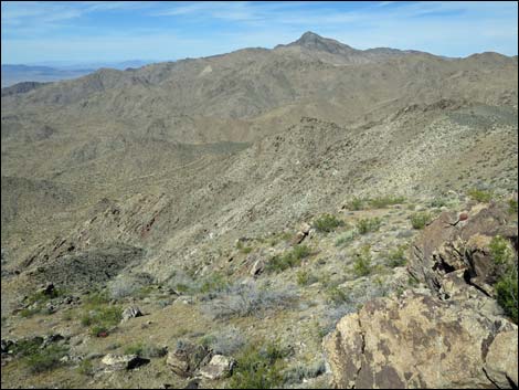
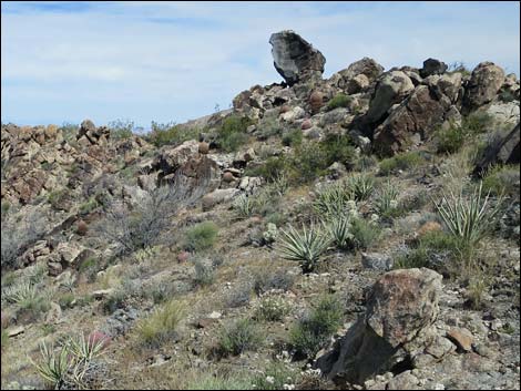
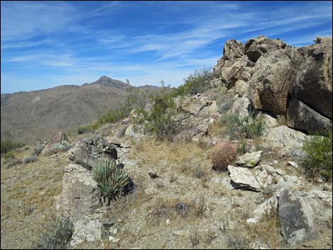
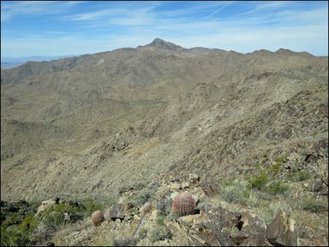
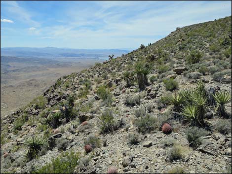
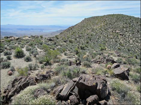
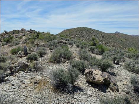
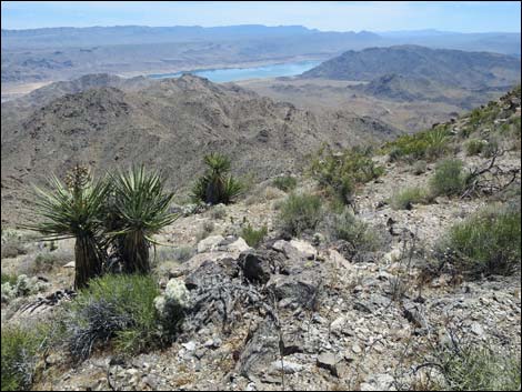
Terrain Most simply, the terrain in the wilderness area can be described as steep and rocky, south- and south-east facing hillsides. The area is located on the southeast flanks of the Jumbo Peak complex and includes ridges and the upper canyons of three major washes that drain toward Lake Mead. The granitic and metamorphic ridges run from broad and nearly level to steep and narrow. Granitic domes, spires, and boulder fields cap the ridgelines. All of the side slopes are steep and boulder-strewn, and the three major drainage systems are steep and rocky. Elevations range from 4,700-ft on the northern ridges to 2,700 feet in washes along the southern boundary. |
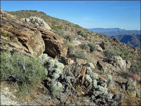 Blue-diamond Cholla along southern ridgelines |
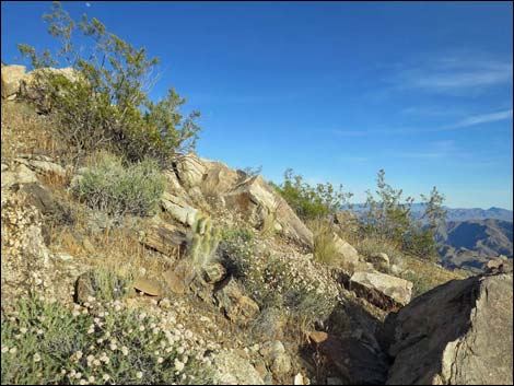
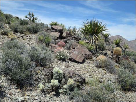
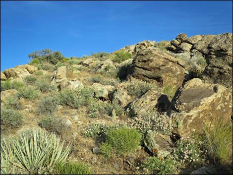
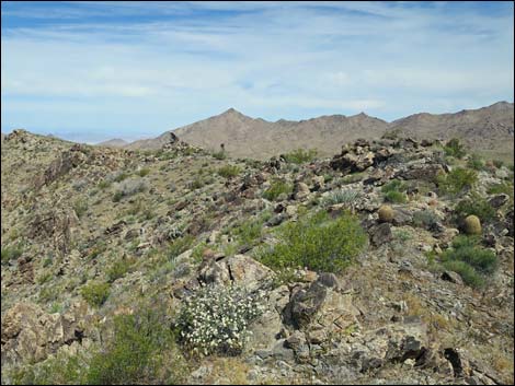
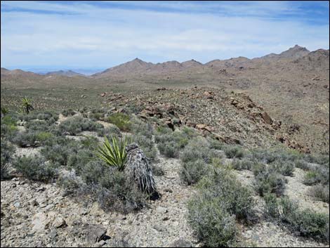
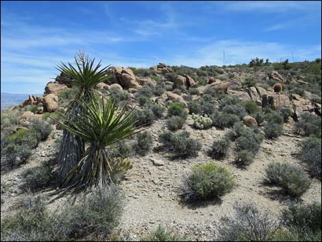
Habitat Type and Vegetation The Jumbo Springs Wilderness Area lies within the Upper Sonoran Life Zone, mostly vegetated by Mojave Desert Scrub species, although the highest elevations reach into the Pinyon-Juniper Woodland. The highest elevations burned in the 2005 fires, but a few singleleaf pinyon and Utah juniper trees remain. Other high-elevation species include banana yucca, Desert Gooseberry (Ribes velutinum), shrub live oak, and skunkbush sumac. The upper ridgelines are richly vegetated with a many species of shrubs and cactus, plus many annual forbs. Common species include Mojave yucca, blackbrush, Grizzlybear cactus, and blue-diamond cholla. |
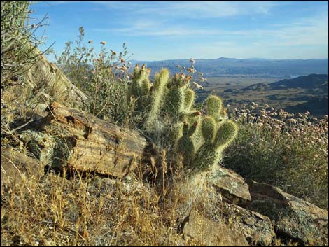 Grizzlybear cactus and buckwheat on a ridgeline (view SE) |
The side slopes are rocky and sparsely vegetated with a fair variety of species including creosote bush, catclaw acacia, Mojave yucca, Nevada jointfir, eastern Mojave buckwheat, a few cacti (e.g., beavertail, barrel cactus, blue-diamond cholla, and mound cactus), and in some places, even cryptobiotic crusts. In Cottonwood Canyon, the dominant shrubs include rabbitbrush, catclaw acacia, desert willow, honey mesquite, and buckhorn cholla. Above one waterfall, there is enough water to support cattail and bulrush. Weeds are few, but red brome grass is fairly dense on burned hillside and on steep, south-facing slopes. Saltcedar can be found at the springs in Cottonwood Canyon. |
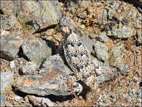 Desert Horned Lizard |
Wildlife Wildlife appears sparse, but looking more closely, the wilderness area supports a rich fauna typical of Mojave Desert mountain ranges. Mammals include desert bighorn sheep, coyote, and black-tailed jackrabbits, feral burros, desert woodrats, white-tailed antelope squirrels, kangaroo rats, and pocket gophers. Reptiles include seldom-seen snakes (gopher snake, speckled rattlesnake) and desert tortoise, plus the more familiar western whiptail lizard, collared lizard, leopard lizard, and side-blotched lizard. Birds include Red-tailed Hawk, Cooper's Hawk, Golden Eagle, Gambel's Quail, Greater Roadrunner, White-crowned Sparrow, Black-throated Sparrow, Green-tailed Towhee, Rock Wren, Chipping Sparrow, White-throated Swift, Violet-green Swallow, Common Raven, Turkey Vulture, and American Kestrel. |
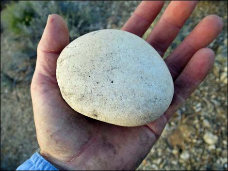 Out-of-place river cobble possibly intended for use as a mano |
Archaeology No published information, but a river cobble, probably intended for use as a mano (hand-held grinding stone), was found atop the Scanlon Ridge, so the ancients at least moved through the wilderness area where someone got tired of hauling this rock around. Virtually all of the wilderness is steep and difficult terrain, so it is unlikely that the ancients extensively used the area. |
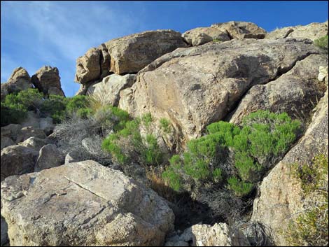
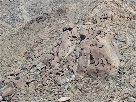 Granitic outcrops are common in the wilderness area (view NE) |
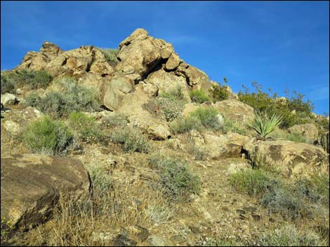
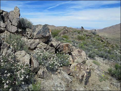
Geology The geology of the general area is complex, with a variety of oddly juxtaposed rock types. In the wilderness area, all of the rocks are old and date to Precambrian times. The lower strata is Precambrian metamorphic, but this is overlain by what seem be coarse-grained granitic rocks. There are granitic domes and smooth cliffs along the ridge tops, and the side slopes are strewn with coarse-grained granitic boulders. Just across Devils Cove Road to the east, the rocks are carbonates with dates starting in the Cambrian. On some of the water-polished granite waterfalls, there are carbonate flowstone-like deposits, but I don't know what the source of the carbonates would be on this side of the canyon; maybe it isn't carbonate. The granitic boulders and cliffs in the wilderness area are reminiscent of Joshua Tree National Park. |
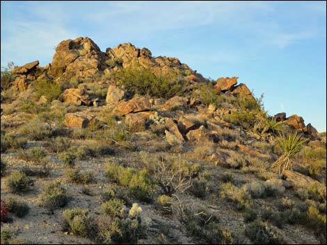 Southern ridgeline (view E) |
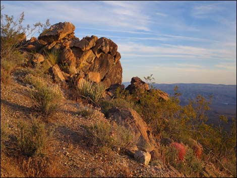 Southern ridgeline (view E with sunset colors) |
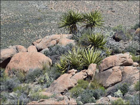 Mojave yucca with granite boulders and diverse shrubs |
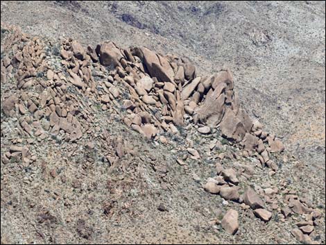 Granite outcrop on a side-ridge |
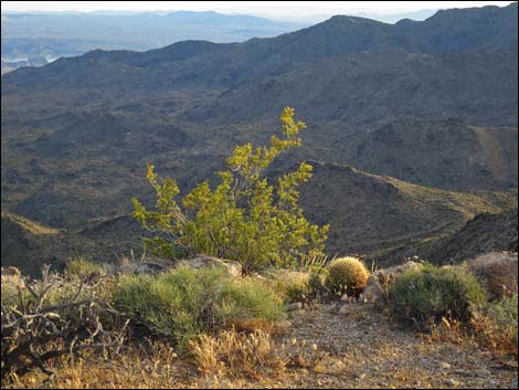 Creosote bush |
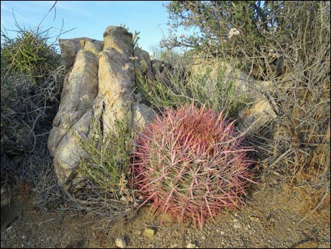 Barrel cactus |
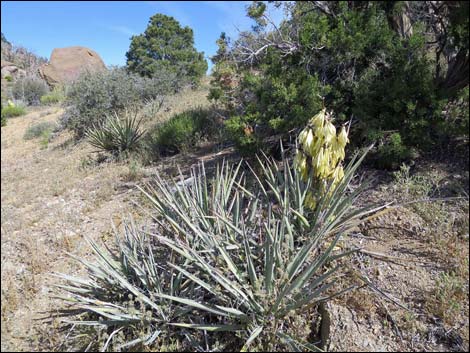 Banana yucca, pinyon, and juniper |
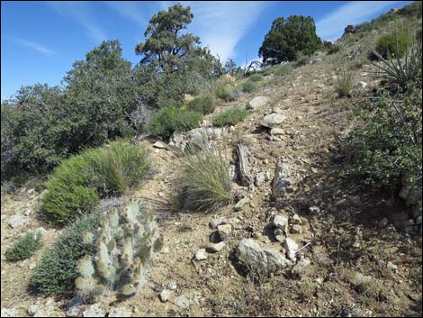 pinyon, juniper, cactus, and shrub live oak |
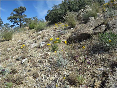 pinyon, shrub live oak, and desert marigold |
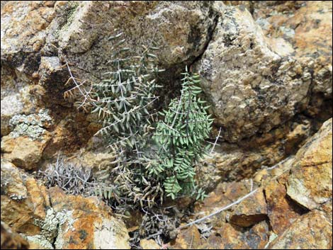 Spiny Cliffbrake fern |
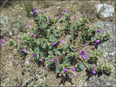 Colorado Four O'Clock (Mirabilis multiflora) |
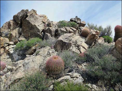 Barrel cactus and Goldenbush |
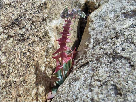 Chalk dudleya (Live-forever; Dudleya pulverulenta) |
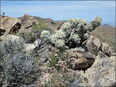 Blue-diamond cholla with Mojave buckwheat and blackbrush |
 |
 |
 |
 |
 |
 |
 |
 |
 |
 |
 |
 |
 |
 |
 |
 |
 |
 |
 |
 |
 |
 |
 |
 |
 |
 |
 |
 |
 |
 |
 |
 |
 |
 |
 |
 |
 |
 |
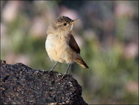 Juvenile Rock Wren |
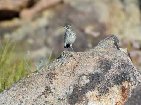 Juvenile Black-throated Sparrow |
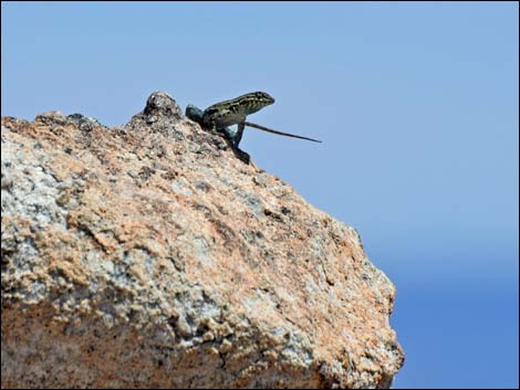 Adult male side-blotched lizard |
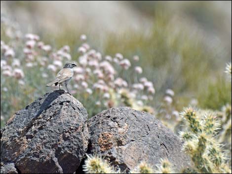 Adult Black-throated Sparrow |
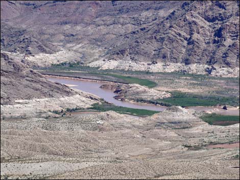 Colorado River flowing out of the Grand Canyon |
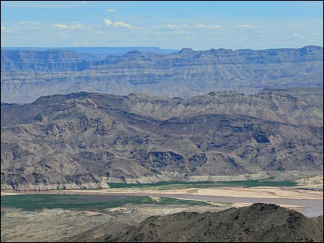 River delta at the headwaters of Lake Mead |
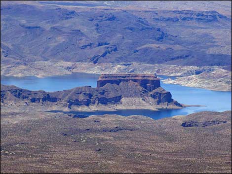 Temple Bar and Lake Mead |
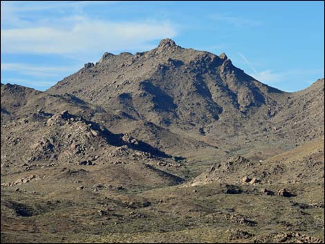 Jumbo Peak |
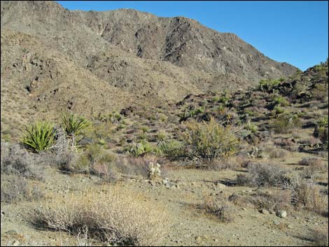 South end, view NE from Scanlon Ferry Road |
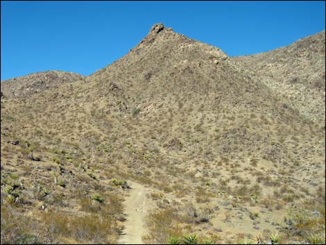 South end, view N from Scanlon Ferry Road |
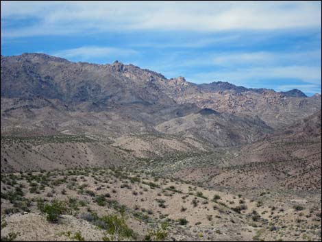 Rocky skyline (View NW from Devils Cove) |
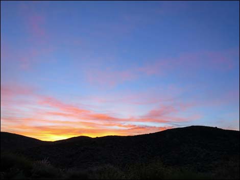 Sunrise over Jumbo Springs Wilderness Area |
Note: All distances, elevations, and other facts are approximate.
![]() ; Last updated 240331
; Last updated 240331
| Wilderness Areas | Hiking | Guide Services | Glossary | Copyright, Conditions, Disclaimer | Home |