Hiking Around Las Vegas, Lake Mead National Recreation Area
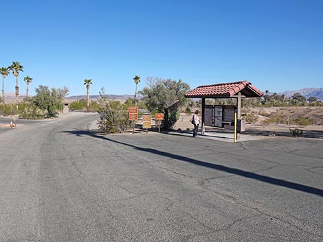
 Campground Road at day-use parking (view E) |
Overview The Bluff Trail makes for a nice, relaxing, 0.9-mile stroll across the desert to the low First Summit overlooking much of the surrounding landscape. First Summit was the original end of the trail, but now those who want a longer hike can continue another half-mile to Second Summit and the Overlook. Round trip, the entire trail is 2.8 miles. There are surprisingly grand views all along Las Vegas Wash and from the summits. The habitat type is sparse Creosote-Bursage Flats, which is nice because the plants don't get in the way of the geology. All along the wash, erosion is undermining the surface layer of hard rock, and slabs are falling off into the wash. Farther out, look for Silverleaf Sunray on mud hillsides near First Summit, which have large yellow sunflowers during spring and summer. Link to map or elevation profile. |
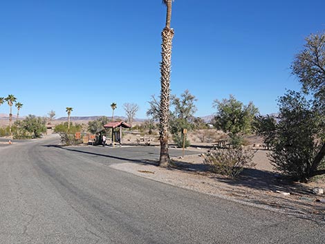
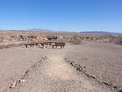
 Day-use parking with picnic tables (view S from Campground Road) |
Watch Out Other than the standard warnings about hiking in the desert, ...this is a fairly safe hike. There are places where a hiker could stumble off the trail and fall over a cliff, but there is nothing unusually dangerous about this trail. Because the water in Las Vegas Wash is urban runoff and recycled sewage water, I would stay out of it. While hiking, please respect the land and the other people out there, and try to Leave No Trace of your passage. Also, this hike is short, so just bring what you need of the 10 Essentials. Cell phones work in this area. |
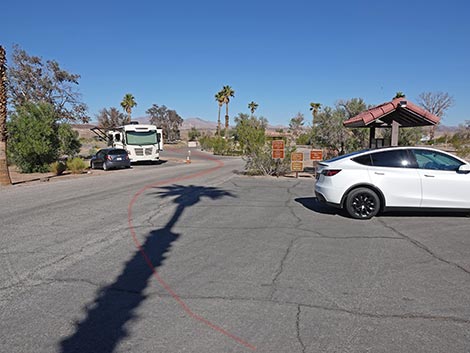 |
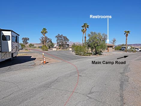
Getting to the Trailhead This hike is located along Lakeshore Drive in Lake Mead National Recreation Area, about 25 minutes southeast of Las Vegas. From town, drive out to Lake Mead NRA. From the Lake Mead parkway entrance station (Table 1, Site 1020), continue east on the main road (now Lakeshore Road) for 2.1 miles to the Las Vegas Wash Marina turnoff (Site 1018). Turn left into the marina area, pass the old ranger station on the right, and immediately turn left towards the campground (Site 1019). Drive down the campground access road to the entrance kiosk (Site 0724). Park just before the kiosk, or just ahead on the right across from the restrooms (do not park in a campsite or the dump station). Park here; this is the trailhead parking area. |
 Trail passes Campground Kiosk (view E) |
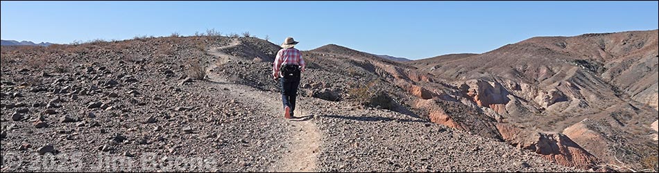
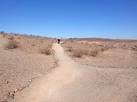
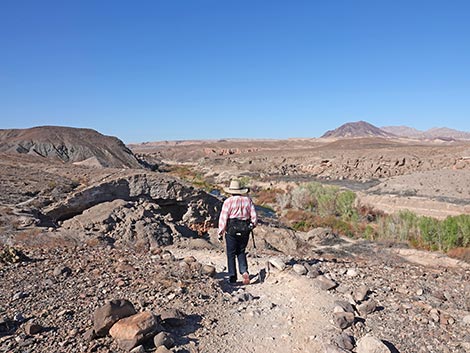
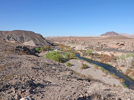
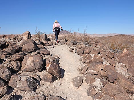
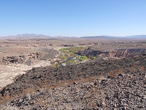
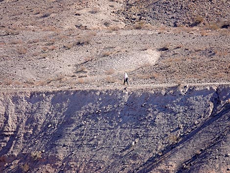
The Hike From the parking area (Table 2, Waypoint 00) by the kiosk, the trail starts by running a few yards farther down the campground road towards the restroom building. Just before the restrooms, the hike turns left onto the campsites road and heads north past campsites 1, 2, and 3. Then, continuing north, the hike passes campsites 76 and 75 to arrive at site 74, on the left. The dirt trail (Wpt 01) starts between campsites 74 and 72 on the foot trail to the amphitheater. A gravel trail runs a few yards to the amphitheater, and then the Bluff Trail veers off to the left to run west along the edge of the bluffs overlooking Las Vegas Wash. It is always nice to see flowing water and waterbirds in the desert. The trail runs west along the top of the dry bluffs where the ground is covered with small volcanic (dacite) stones and the habitat type is Creosote-Bursage Flats. In this habitat type, Creosote Bush and White Bursage dominate the vegetation, and Beavertail Pricklypear Cactus is fairly common too. |
 |
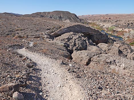
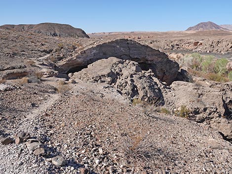
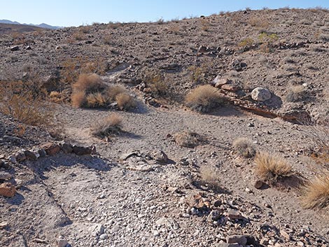
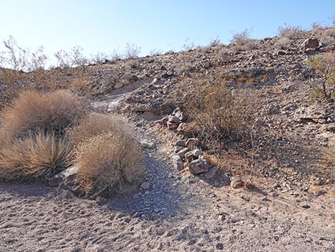
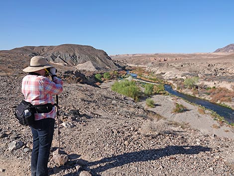
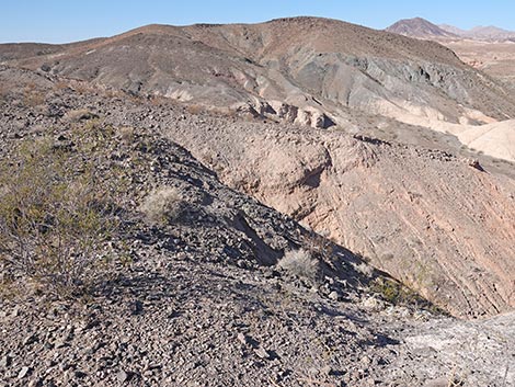
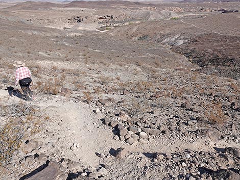
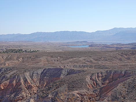
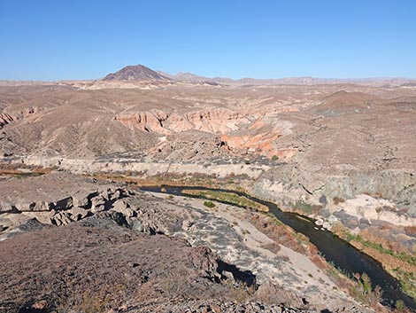
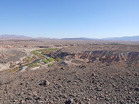
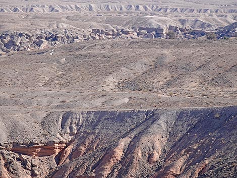
Early on, the trail crosses two washes, and in the washes, other plant species can survive because more water is available here than on the stony flats. In the washes, other species include Schott's Pygmycedar, Sweetbush, and a few Catcaw Acacia. There seem to be only two Silver Cholla along the trail. At the bottom of the cliffs down along the wash, saltcedar is common, but land managers are trying to remove it. Native willow and Cottonwood Trees grow along the wash too. Hiking along the top of the bluffs, it becomes evident that the ground surface is formed by a hard layer of conglomerate rock several feet thick. Along the edge of the bluffs, water flowing in Las Vegas Wash over the eons is eroding away softer soil from under the hard rock layer. As a result, large blocks of the surface layer are breaking off and falling into the wash. The earth erodes away slowly, but this is geology in action! |
 |
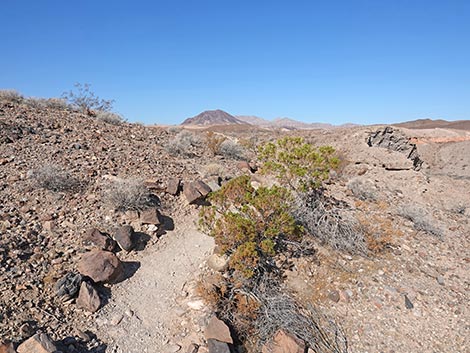
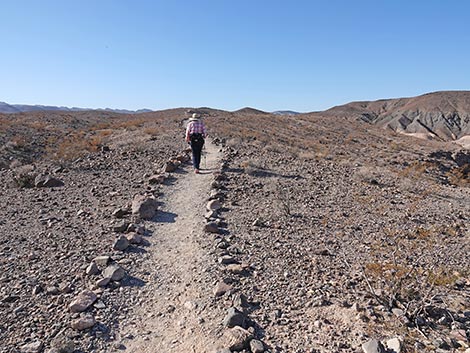
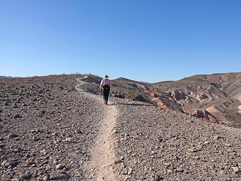
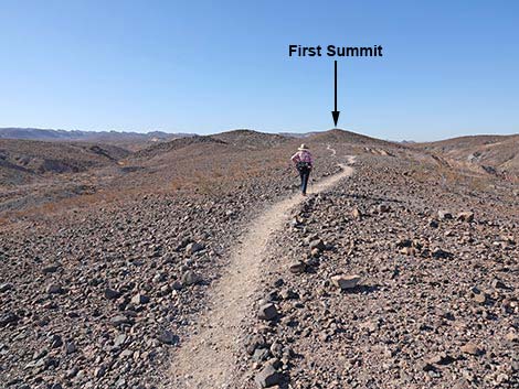
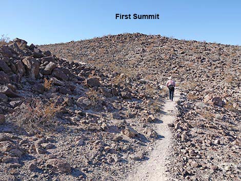
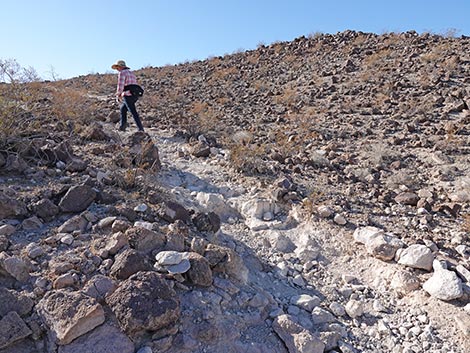
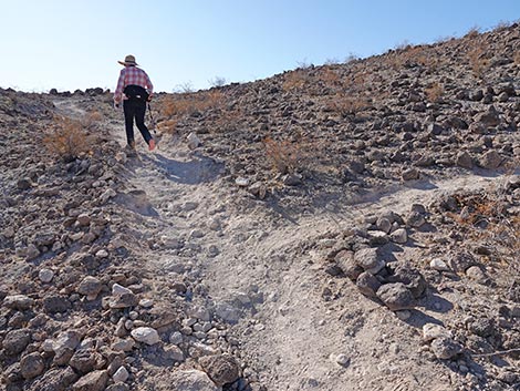
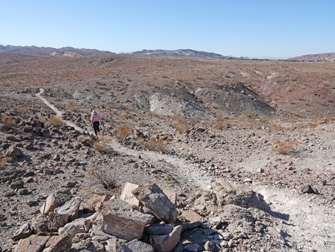
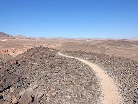
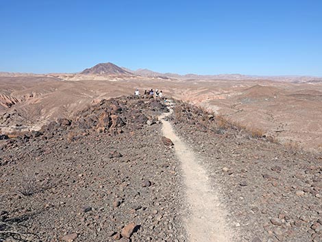
About halfway to First Summit, the trail bends to the south and departs Las Vegas Wash. The trail continues to run along the edge of a bluff, but now the hillside below is colorful mud rather than broken slabs of conglomerate rock. Watch for Silverleaf Sunray growing along the edge of the trail and down on the mud hills. These plants are fairly rare and were considered for protection under the Endangered Species Act. Heading south, the trail climbs at gentle grades towards First Summit. Shortly before getting there, however, the trail runs along the base of a rocky volcanic outcrop, then abruptly turns left and begins climbing rather steeply between the rocky outcrop and First Summit. The trail soon arrives at a T-intersection (Wpt. 02) where the main trail continues straight up the slope, and a connector trail branches to the right across the slope. The connector trail can be used to ascend or bypass First Summit. Continuing straight on the main trail, the hikers climb at a fair grade. The trail runs south, then bends west to gain the summit ridgeline, and finally it turns north to climb onto First Summit (Wpt. 03). |
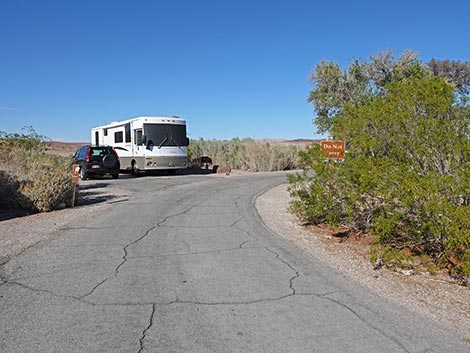 Campsite 72 (view N) |
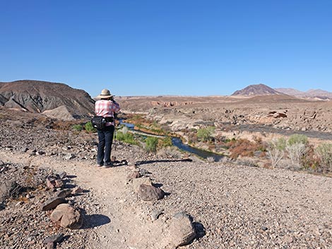
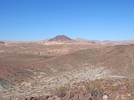
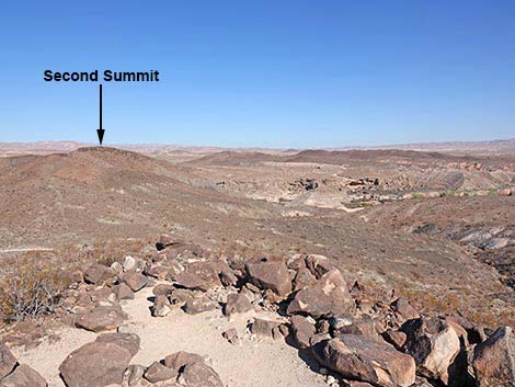
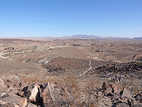
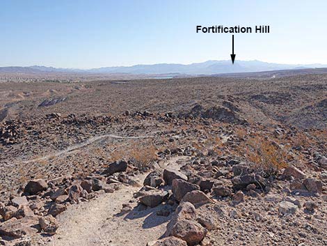
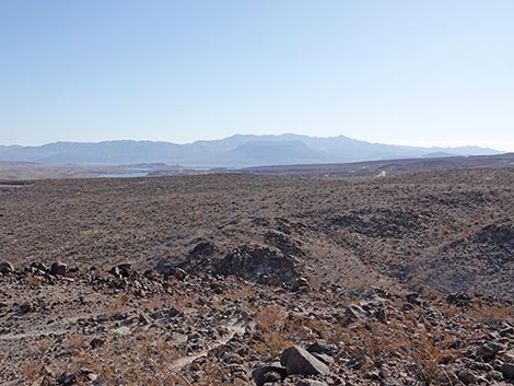
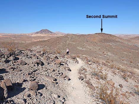
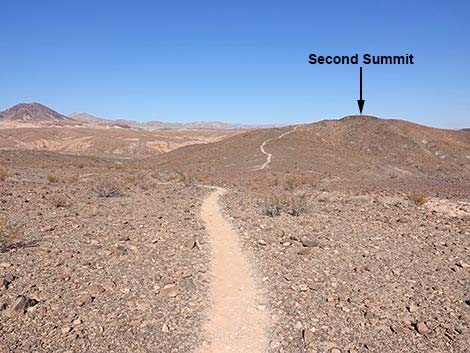
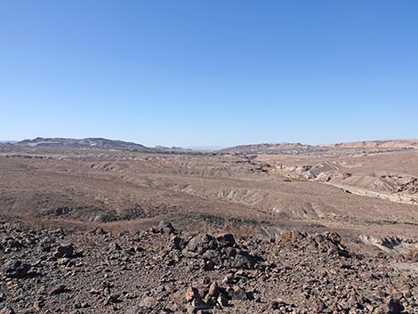
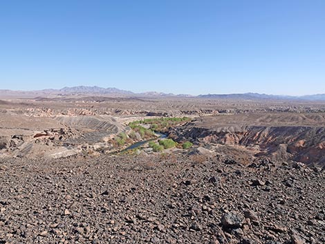
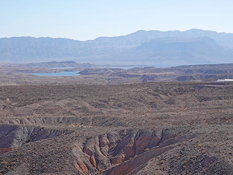
First Summit is a nice place to relax and enjoy the scenery. Views from this low summit are surprisingly grand. To the south are the River Mountains. To the west is urban Lake Las Vegas, Lava Butte, and Frenchman Mountain. To the north is Las Vegas Wash and the mountains beyond. To the east are the Muddy Mountains, a sliver of blue water in Lake Mead, Fortification Hill (likely source of the dacite), and mountains off into Arizona. First Summit is the end of the original Bluff Trail. Hikers can stop here to make a pleasant 2-mile hike. Hikers can also continue on the newer trail to Second Summit, adding another 0.4 miles to the hike (2.8 miles round trip). Either way, hikers departing First Summit can continue north another 80 feet to a T-intersection (Wpt. 04). This is the other end of the connector trail passed along the rocky, volcanic outcrop. Hikers returning to the trailhead can turn right and head back. Otherwise, the trail continues north along the ridgeline dropping into a low saddle. |
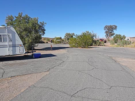
 It is easy to walk through Campsite 74 when empty (view N) |
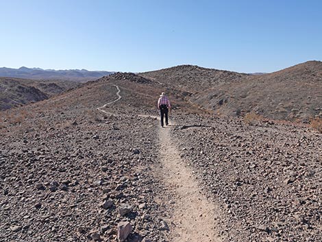
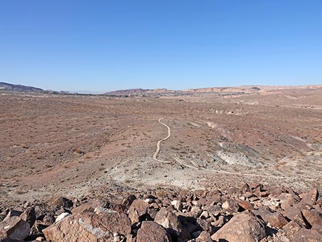
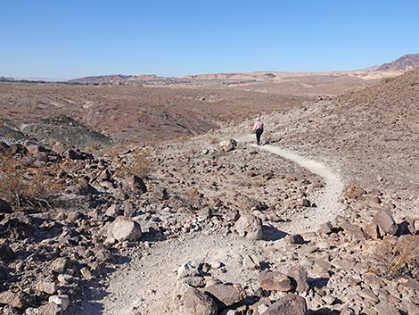
From the low saddle, the trail bends left head south and down the steep hillside. The trail soon bends west, then north, and drops to a low point on a landscape dotted with a few Creosote Bushes and even fewer Beavertail Pricklypear Cactus. From the low point, the trail climbs at gentle grades to Second Summit (Wpt. 05). As with First Summit, the views are grand, but little better than views from First Summit. From Second Summit, the trail continues northwest down along a ridgeline to the Overlook (Wpt. 06) and the end of the trail. The Overlook provides nice views steeply down into Las Vegas Wash and has a few rocks to sit on and eat lunch. When ready to head back, follow your footprints back over Second Summit and down the trail. After climbing back onto the low saddle below First Summit, the trail arrives at the T-intersection (Wpt. 04) with the connector trail. This time, turn left to bypass First Summit, and connect with the main trail (Wpt. 02) to head downhill towards the campground (Wpt. 00). For photos of the return, see Bluff Trail - Return to the Trailhead. |
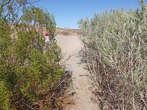
 The trail actually starts through the bushes (view NE) |
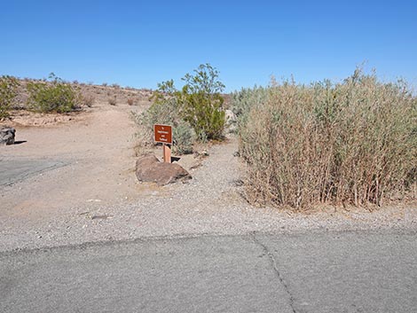
 We could use a bit of brush trimming here (view NE) |
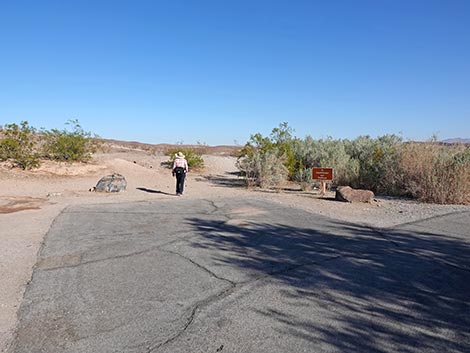
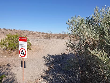 Trail emerges from the bushes past a No Camping sign (view NE) |
 Bluff Trail approaching amphitheater (view N) |
 Bluff Trail at amphitheater trail turnoff (view N) |
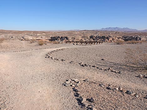
 Campground amphitheater (view NE) |
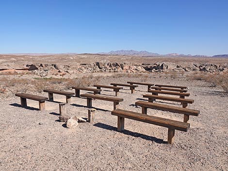 Campground amphitheater (view NE) |
 Bluff Trail departing the amphitheater (view NW) |
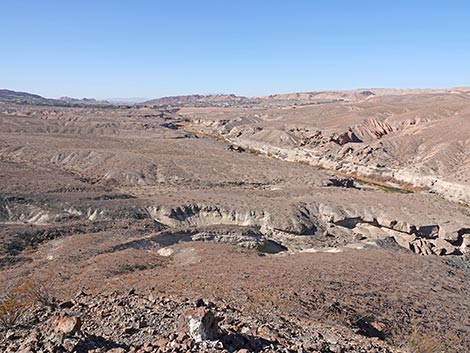
 Trail approaching Las Vegas Wash (view NW) |
 Trail runs along Las Vegas Wash (view W) |
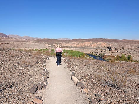
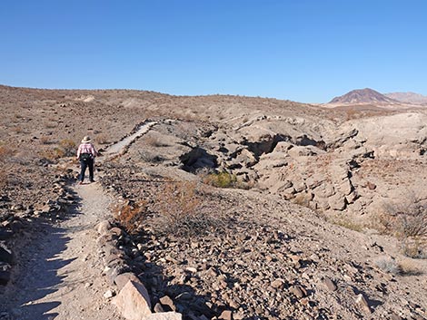
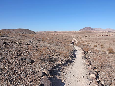
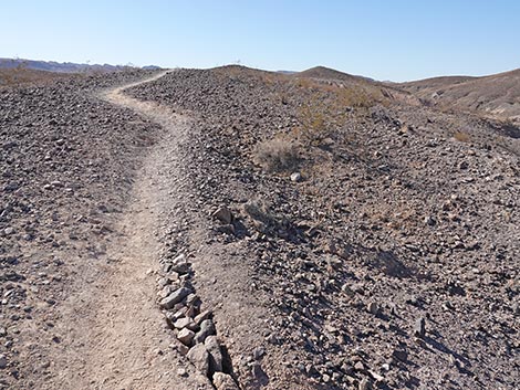
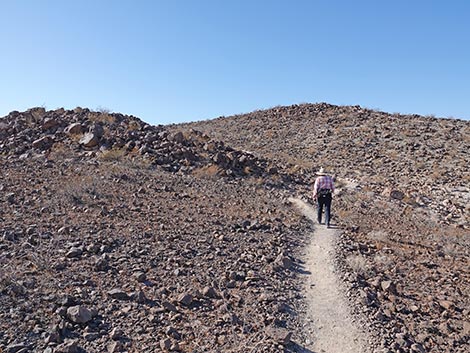
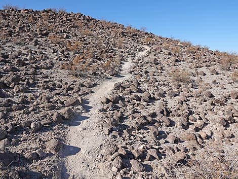
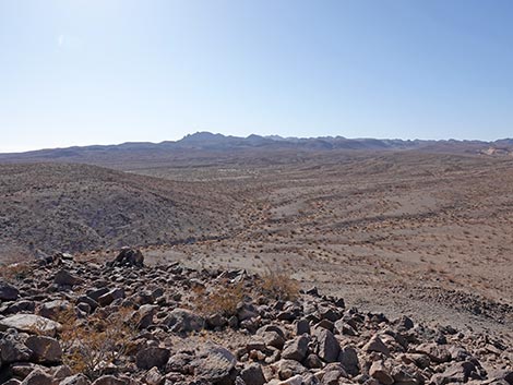
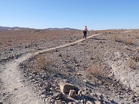
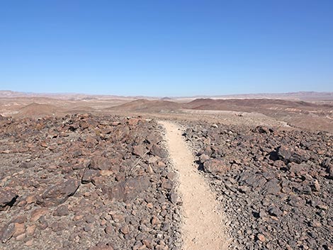
 Bluff Trail runs across sparse landscape (view SW) |
 Bluff Trail runs above cliffs (view SW) |
 Broken conglomerate below the trail (view W) |
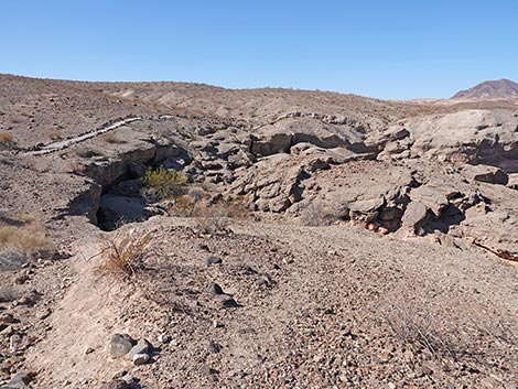 Broken conglomerate below the trail (view SW) |
 Hiker approaching the first wash (view SW) |
 Hiker passing the first wash (view W) |
 Bluff Trail (view NW) |
 Bluff Trail (view NW) |
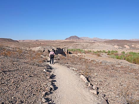
 Bluff Trail runs above Las Vegas Wash (view W) |
 Bluff Trail (view SW) |
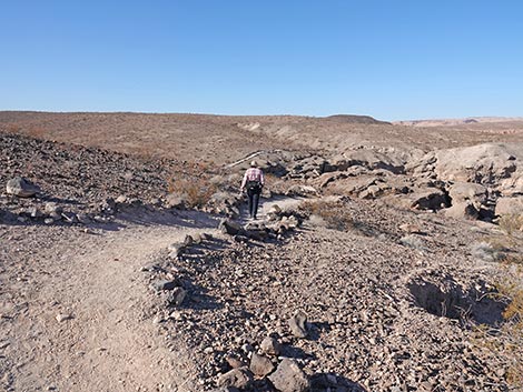
 More broken landscape (view SW) |
 The land appears to be bent (view SW) |
 Dropping into the second wash (view S) |
 Climbing out of the second wash (view S) |
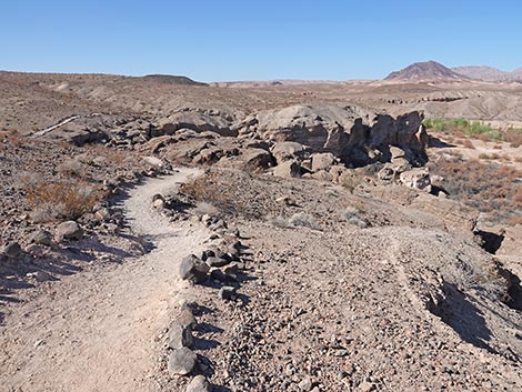
 Trail climbs back atop the bluffs (view NW) |
 Trail climbs over the "bent" landform (view NW) |
 Trail bends away from Las Vegas Wash (view NW) |
 Watching birds in Las Vegas Wash (view W) |
 Las Vegas Wash (view W) |
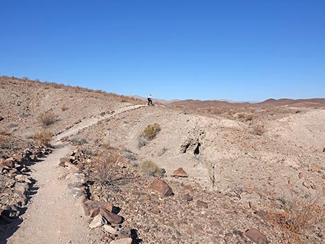
 Trail departing the bluffs above Las Vegas Wash (view SW) |
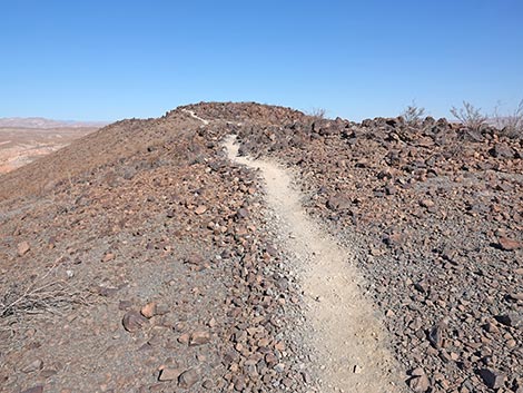
 Bluff Trail climbs at gentle grades (view SW) |
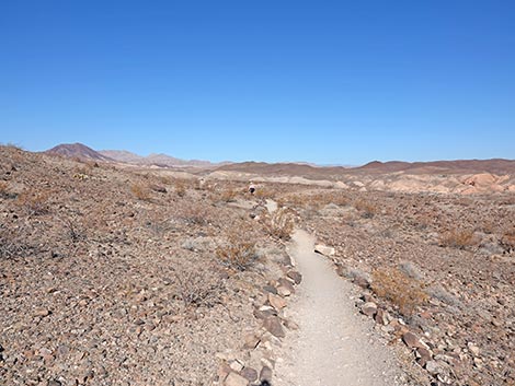
 Trail runs atop bluffs overlooking mud hills (view SW) |
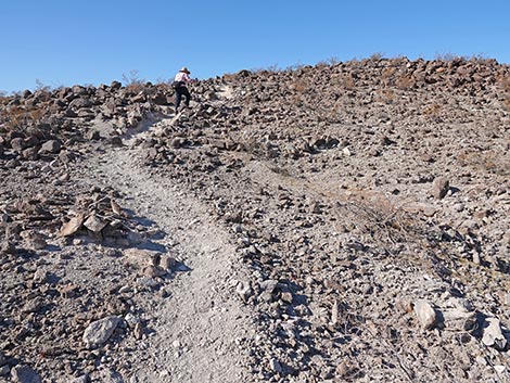
 Bluff Trail climbs at gentle grades (view SW) |
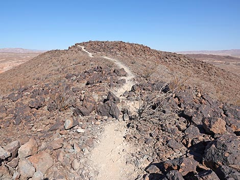
 The trail climbs onto a high ridge (view SW) |
 Colorful mud hills below the trail (view W) |
 The trail runs along a high ridge (view S) |
 Trail approaching a rocky outcrop (view SW) |
 Trail bends to run below rocky outcrop (view SW) |
 Trail turns abruptly to steeply climb along the rocky outcrop (view S) |
 Hiker passing T-intersection with Connector Trail (view S) |
 Connector Trail (view NW from main trail) |
 Bluff Trail continues climbing steeply (view S) |
 Trail climbs onto south ridge of First Summit (view W) |
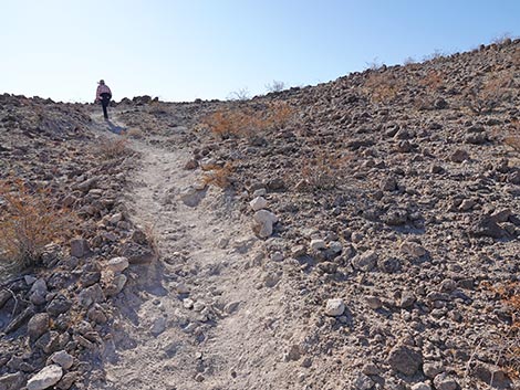
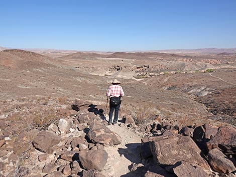
 Hiker nearing First Summit (view NW) |
 Hiker arriving on First Summit (view NW) |
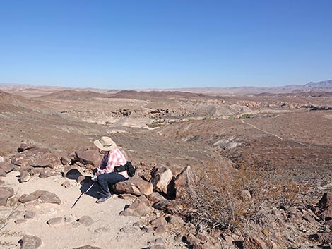 Hiker resting atop First Summit (view N) |
Views from atop First Summit
 Urban Lake Las Vegas (view W) |
 Lava Butte and Frenchman Mountain (view NW) |
 Second Summit and Las Vegas Wash (view N) |
 Las Vegas Wash and Muddy Mountains (view NE) |
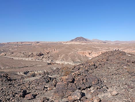
 Lake Mead, Fortification Hill, and mountains in Arizona (view E) |
 Lake Mead, Fortification Hill, and mountains in Arizona (view E) |
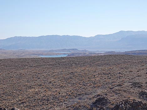 Lake Mead, Fortification Hill, and mountains in Arizona (view E; zoom) |
 River Mountains (view S) |
Trail Continues towards Second Summit
 Hiker departing First Summit (view N) |
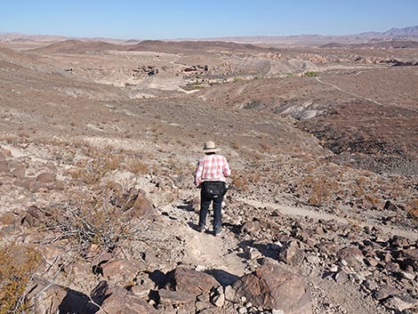 Hiker approaching T-intersection with Connector Trail (view N) |
 Hiker continuing past T-intersection with Connector Trail (view N) |
 Hiker dropping into low saddle (view N) |
 Passing the low saddle, trail starts down off hillside (view W) |
 Trail bends south in big loop (view SW) |
 Trail bends to run west (view W) |
 Trail bends to run north (view NW) |
 Trail drops to low point on the landscape (view N) |
 From the low point, the trail resumes climbing (view N |
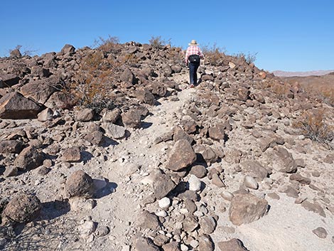
 Trail climbs across sparse landscape (view N) |
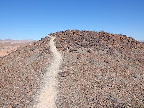
 Trail climbs onto a ridgeline (view NE) |
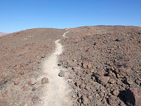
 Trail follows ridgeline towards Second Summit (view N) |
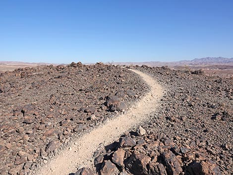
 Trail passes the rockiest spot on the trail (view N) |
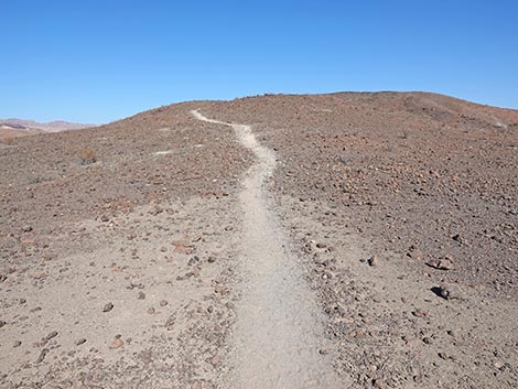
 Trail approaching Second Summit (view N) |
 Trail arriving atop Second Summit (view N) |
 Second Summit (view N) |
 More to come ... |
Views from atop Second Summit
 Urban Lake Las Vegas (view W) |
 Las Vegas Wash, Lava Butte, and Frenchman Mountain (view NW) |
 Las Vegas Wash and Muddy Mountains (view NE) |
 Lake Mead, Fortification Hill, and mountains in Arizona (view E) |
 Lake Mead, Fortification Hill, and mountains in Arizona (view E; zoom) |
More to come ... |
Trail Continues to the Overlook
 Trail runs down ridgeline to rocky knob (view NW) |
 The Overlook is a rocky knob (view NW) |
 Looking down from Overlook (view W) |
 Looking down from Overlook (view WW) |
 Muddy Mountains and Las Vegas Wash (view NE) |
 Las Vegas Wash and Bluff Trail (view NE) Las Vegas Wash and Bluff Trail (view NE) |
 Hiker on Bluff Trail (view E from the Overlook) |
 Hiker on Bluff Trail (view E from the Overlook; zoom) |
Table 1. Highway Coordinates (NAD27; UTM Zone 11S). Download GPS Waypoints (*.gpx) file.
| Site # | Location | Latitude (N) | Longitude (W) | UTM Easting | UTM Northing | Elevation (feet) |
|---|---|---|---|---|---|---|
| 0724 | Las Vegas Bay CG entrance | 36.12829 | 114.87381 | 691336 | 4000071 | 1,259 |
| 1018 | Lakeshore at Las Vegas Wash Rd | 36.11798 | 114.87078 | 691634 | 3998933 | 1,319 |
| 1019 | Las Vegas Bay Camp turnoff | 36.11895 | 114.86965 | 691733 | 3999043 | 1,280 |
| 1020 | Lake Mead Parkway Entrance Station | 36.10531 | 114.90037 | 689000 | 3997470 | 1,602 |
Table 2. Hiking Coordinates Based on GPS Data (NAD27, UTM Zone 11S). Download GPS Waypoints (*.gpx) file.
| Wpt. | Location | Easting | Northing | Elevation (ft) | Point-to-Point Distance (mi) | Cumulative Distance (mi) |
|---|---|---|---|---|---|---|
| 00 | Kiosk Parking | 691327 | 4000060 | 1,284 | 0.00 | 0.00 |
| 01 | Trailhead | 691354 | 4000187 | 1,304 | 0.09 | 0.09 |
| 02 | Fork in the Trail | 690504 | 3999672 | 1,308 | 0.87 | 0.96 |
| 03 | First Summit | 690474 | 3999653 | 1,421 | 0.04 | 1.00 |
| 04 | Fork in the Trail | 690470 | 3999676 | 1,323 | 0.01 | 1.01 |
| 05 | Second Summit | 690264 | 3999980 | 1,329 | 0.36 | 1.37 |
| 06 | Overlook | 690209 | 4000032 | 1,329 | 0.04 | 1.41 |
| 05 | Second Summit | 690264 | 3999980 | 1,329 | 0.04 | 1.45 |
| 04 | Fork in the Trail | 690470 | 3999676 | 1,323 | 0.36 | 1.81 |
| 02 | Fork in the Trail | 690504 | 3999672 | 1,308 | 0.02 | 1.84 |
| 01 | Trailhead | 691354 | 4000187 | 1,304 | 0.87 | 2.71 |
| 00 | Kiosk Parking | 691327 | 4000060 | 1,284 | 0.09 | 2.80 |
Happy Hiking! All distances, elevations, and other facts are approximate.
![]() ; Last updated 250301
; Last updated 250301
| Hiking Around Lake Mead | Hiking Around Las Vegas | Glossary | Copyright, Conditions, Disclaimer | Home |