
Hiking Around Las Vegas, Lake Mead National Recreation Area

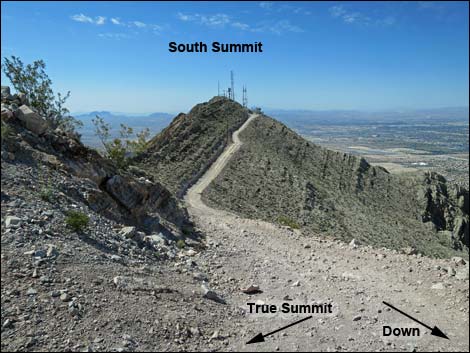 Fork in the road below summit (view S) |
Overview Frenchman Mountain is the highest peak in the craggy mountain range that forms the eastern border of the Las Vegas Valley. There are a number of high bumps on the ridge, only one of which is the true summit (4,052 ft). For hikers who make it to the true summit, there is a popular sub-summit a bit farther out: the south summit. The true summit and the south summit both have communications towers, and as such there is a road from the true summit to the south summit. After climbing the true peak and enjoying the view and perhaps some lunch, many hikers continue south to the south summit. From the north summit, descend the road to the fork (Wpt. 04), then continue south 0.11 miles to the end of the road. Outside the fence, a use-trail switchbacks up the steep rocky slope (0.06 miles) to the ridgeline. As on the true summit, the ridgeline comes abruptly. On this peaklet, the actual summit is outside the fence. For details of the hike to the true peak, including maps and GPS coordinates, see Frenchman Mountain. |
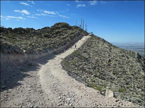 Beyond fork, hikers heading towards south summit (view S) |
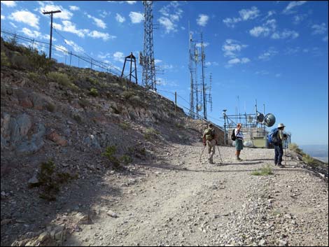 Hikers at end of road at south summit (view S) |
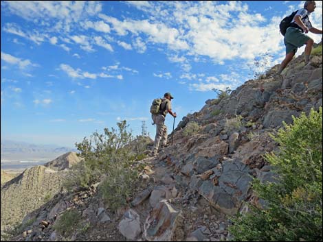 Hikers on use-trail leading to south summit (view N) |
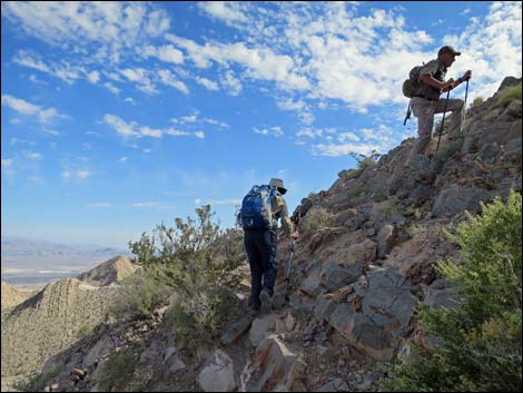 Hikers on use-trail leading to south summit (view N) |
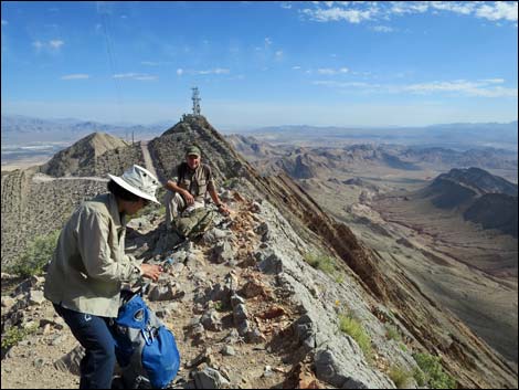 Hikers on south summit (view N) |
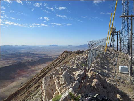 Fence around communications equipment (view S) |
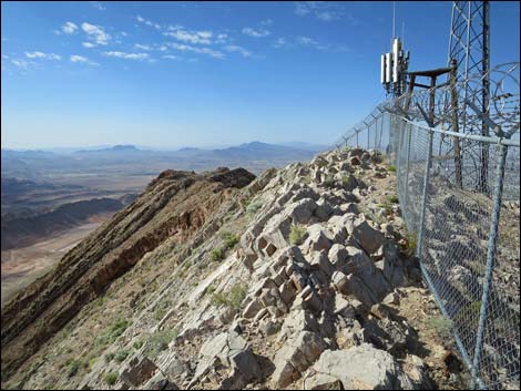 Actual south summit is outside the fence (view S) |
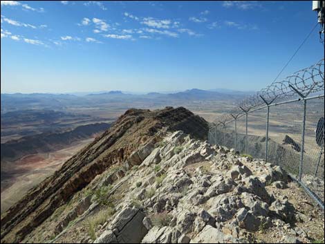 Actual south summit (view S) |
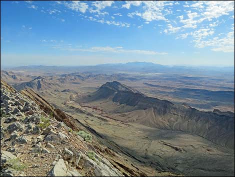 South Summit (view NE) |
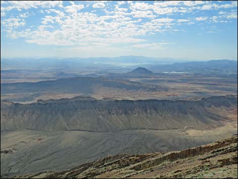 South Summit (view E) |
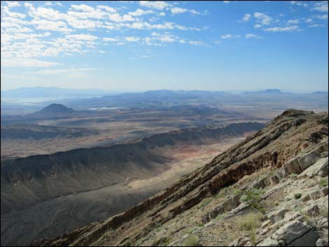 South Summit (view SE) |
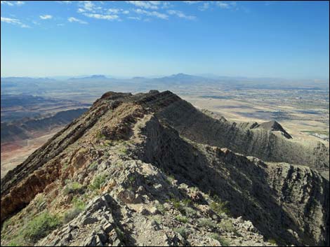 South Summit (view S) |
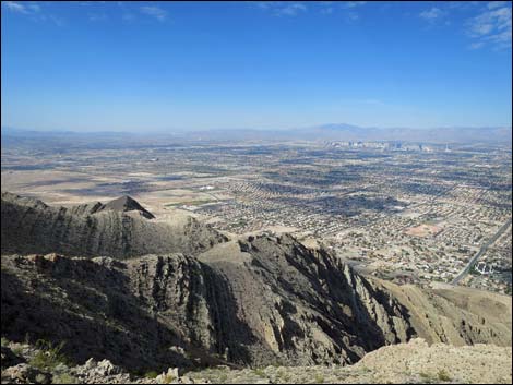 South Summit (view SW) |
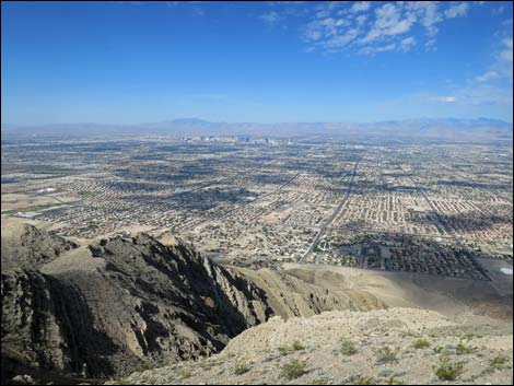 South Summit (view W) |
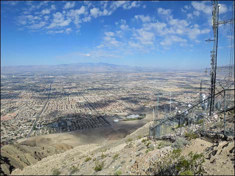 South Summit (view NW) |
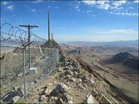 South Summit (view N) |
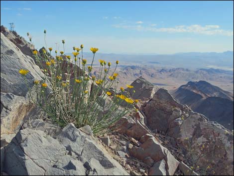 |
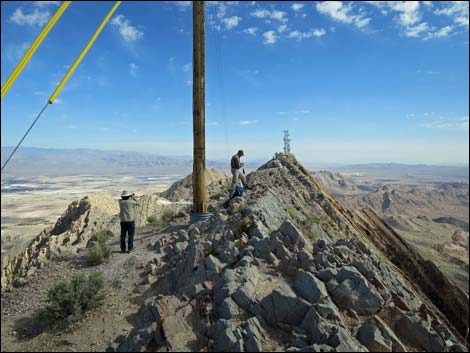 |
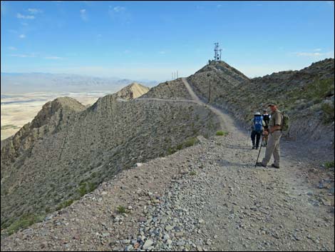 Hikers back on the road heading north (view N) |
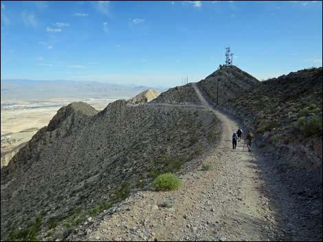 Hikers returning towards the fork in the road (view N) |
Happy Hiking! All distances, elevations, and other facts are approximate.
![]() ; Last updated 240326
; Last updated 240326
| Hiking Around Lake Mead | Hiking Around Las Vegas | Glossary | Copyright, Conditions, Disclaimer | Home |