Hiking Around Las Vegas, Lake Mead National Recreation Area
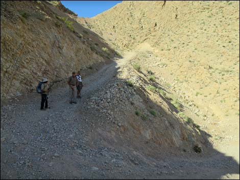
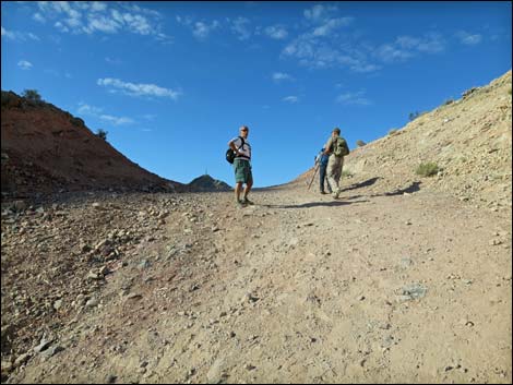
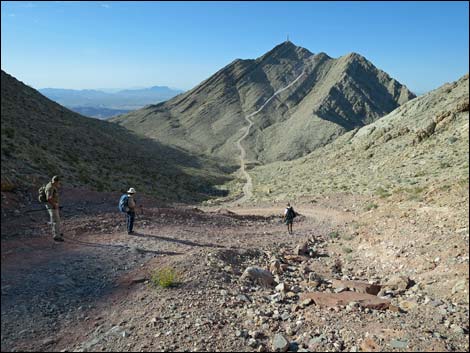
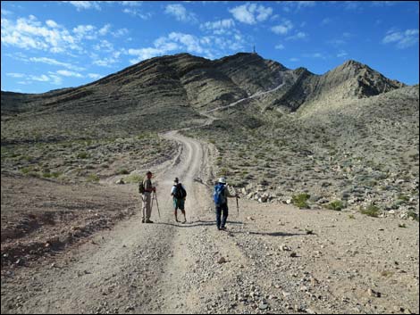
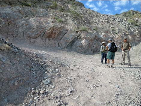
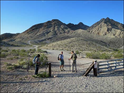 Hikers at trailhead (view S) Hikers at trailhead (view S) |
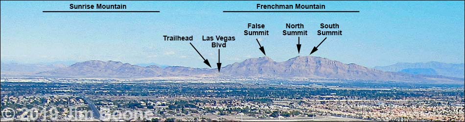
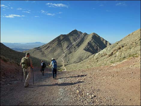
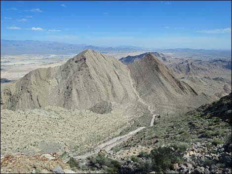
Overview Frenchman Mountain is the highest peak in the craggy mountain range that forms the eastern border of the Las Vegas Valley. The range is composed of two peaks: Sunrise Mountain to the north and Frenchman Mountain to the south, which are separated by Lake Mead Blvd. From the perspective of town, Frenchman Mountain has two peaks: a northern lower summit (3,942 ft, actually twin peaks) and a southern true summit (4,052 ft, also twin peaklets). Heading south from Lake Mead Blvd, the route climbs 1,300 ft to a saddle between the twin northern lower summits, drops 260 ft into the main saddle between the northern and southern summits, and then finally climbs 700 ft onto the true summit, for a total distance of 2.2 miles and 2,000 feet of elevation gain. Link to map or elevation profile. |
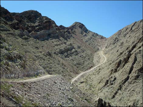
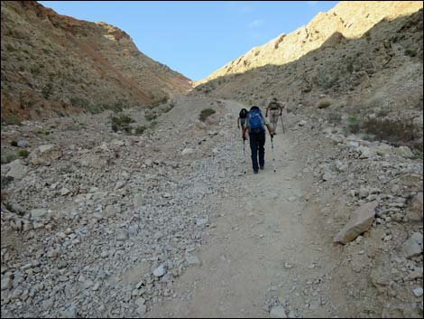
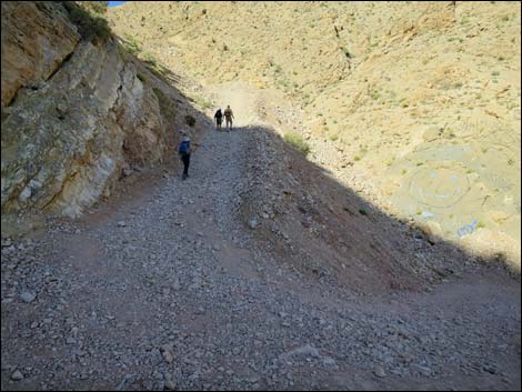
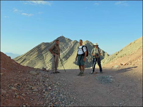
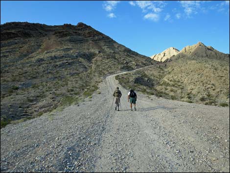 Road runs south towards the mountains (view S) |
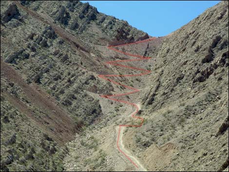
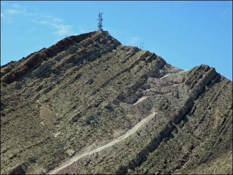
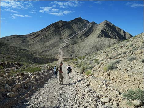
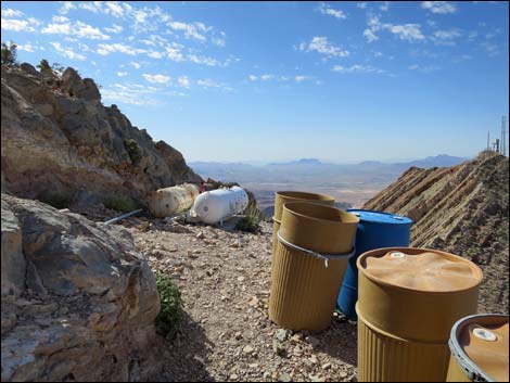
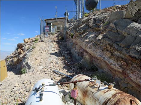
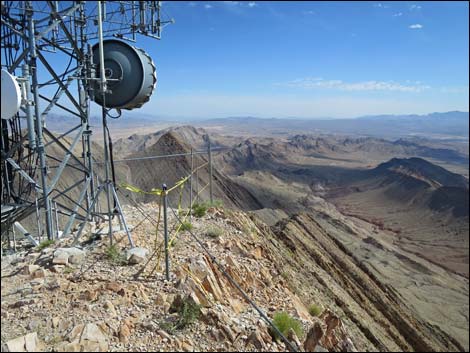
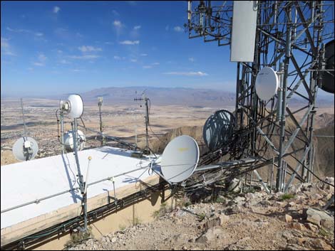
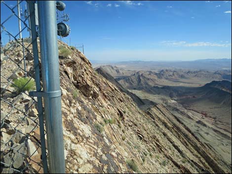
As might be expected for a high point overlooking a big city, there are many communications towers on the summit. There also is a dirt service road to the top. The road is closed to private vehicles, and it is the steepest dirt road that I have ever seen, so it is just as well to hike it. The road even has switchbacks that are too tight to turn around a long-wheel-base vehicle, so drivers have to pull forward up one leg, then back up the next, drive forward on the third, back up, and so on. Because there is a road to the top, it would seem that hiking this peak would be easy, but this is the steepest, and most consistently steep, road that I have ever seen. Views of Las Vegas to the west, Lake Mead to the east, and peaks on the far horizons are worth the effort. |
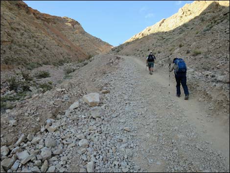
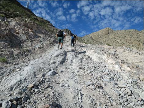
 The road gets steep (view SW) |
In response to a question on FaceBook: Why is Frenchman Mountain considered hard, a hiker responded: It's a 10 out of 10 on my Relative Misery Index (RMI), which is: the comparative toiling and pain one is willing to endure in pursuit of a goal. 1. It's dirty and loose; it would be easy to break an ankle, particularly on the descent when you're fried and not paying attention. 2. The entire slog up to the false summit is demoralizing, hot, and has no view whatsoever. 3. After the false summit, you go down 300 ft to the saddle -- yay! 4. Then the real fun begins: MOTHERF**KER HILL. I named it this because every time I've done it (about 20ish) I have to stop several times panting, with my hands on my knees, and scream "MOTHERFU**KER!!" at the top of my lungs (try it sometime, you'll feel a lot better!). This is where you make up the 300 ft you gave up plus about another 150 ft getting to the radio towers, the actual summit. 5. It's never NOT windy up there. 6. To get back down by the traditional route, you have to go back UP the 300 ft to the saddle, 300 ft while 'descending' a mountain -- yay!). 7. It's 2,000 ft of elevation in just over 2 miles, which classifies it as 'extreme hiking.' That being said, it's still hands down the best view of Las Vegas and Lake Mead in the entire area. Best view: 10 out of 10 on the RMI, your call. |
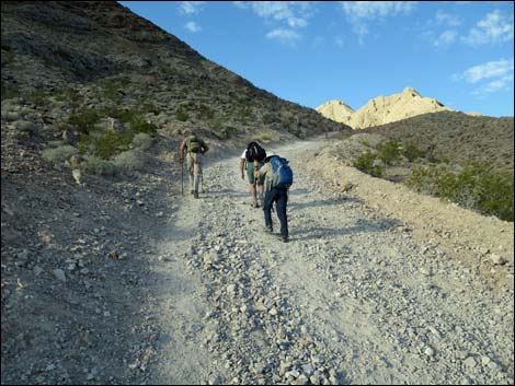
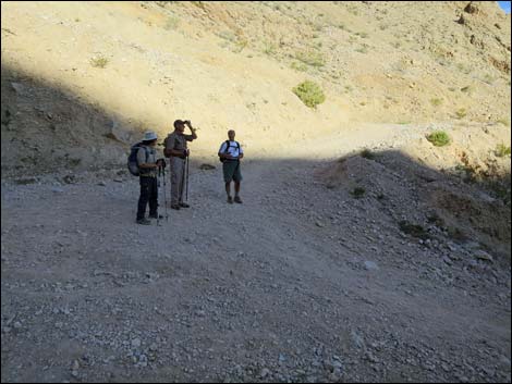
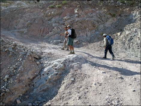
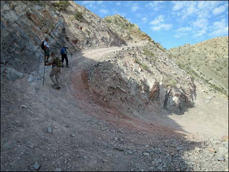
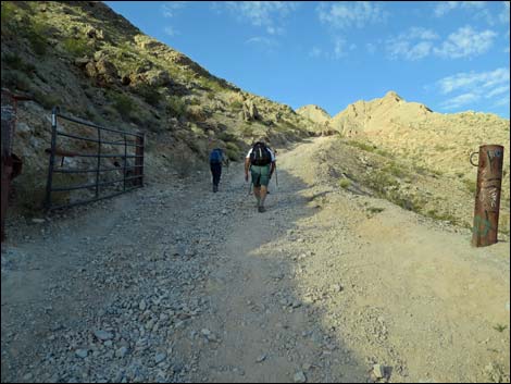 Passing the old gate (view SW) |
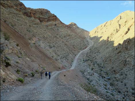
Watch Out Other than the standard warnings about hiking in the desert, ...there are no special hazards on this hike. Slipping on the steep road is a constant hazard, but that would be true for hiking on any steep trail, so trekking poles are a good idea. Watch your footing on the summit, as the east face is abrupt and steep. While hiking, please respect the land and the other people out there, and try to Leave No Trace of your passage. Also, even though this hike isn't too long, be sure to bring what you need of the 10 Essentials. Getting to the Trailhead This hike is located in the Lake Mead region, about 20 minutes east of downtown Las Vegas. From downtown, drive out towards Lake Mead on Lake Mead Blvd (not to be confused with Lake Mead Parkway in Henderson). Lake Mead Blvd leaves town and runs up a desert canyon to the Frenchman Mountain Trailhead. Park here; this is the trailhead. |
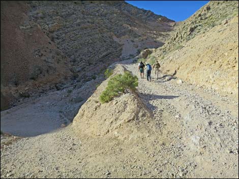
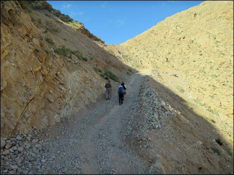
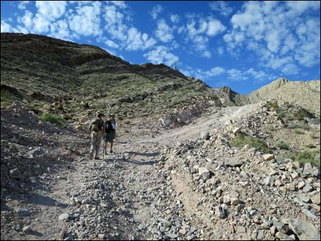
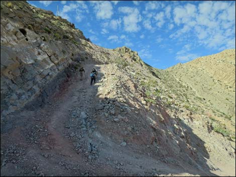
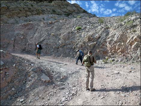
 Approaching the first landing (view SW) |
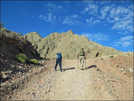
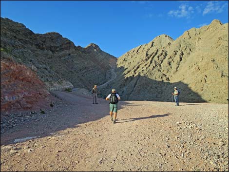
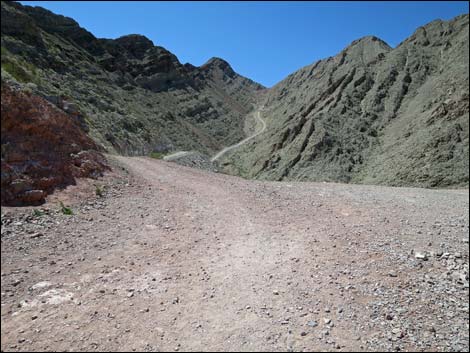
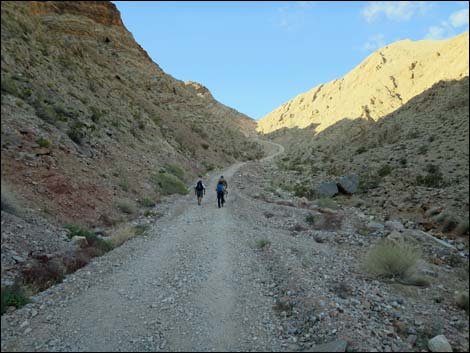
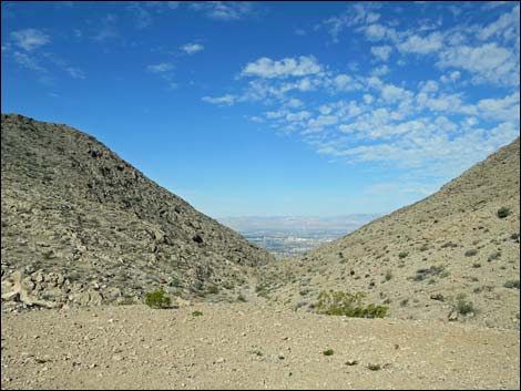
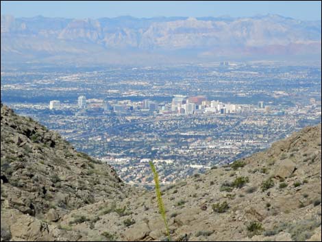
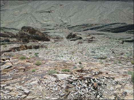
The Hike From the trailhead (Table 1, Waypoint 01), the hike passes the cable fence and gate to run south on the dirt road. After about 200 yards, the road begins to climb steeply up and across the north face of the mountain aiming for the main canyon on this side of the mountain. At about 0.43 miles out, the road levels out briefly at a landing, then drops slightly into the canyon. The road continues steeply up the canyon, and at 0.88 miles out, switchbacks twice on the west side of the canyon. Near the top of the canyon (0.99 miles out), the road switchbacks eight more times before climbing onto the first saddle (Wpt. 02; 1.27 miles out), which lies between twin false summits (Point 3,942 on the west side and Point 3,858 on the east). Note that Point 3,858 is not visible from town, so this looks like one peak. From the first saddle, the road drops 260 vertical feet into the main saddle (Wpt. 03; 1.56 miles out) that separates the true and false summits. There are good views of the runways at Nellis Air Force Base in this area and a nice view west into Las Vegas. |
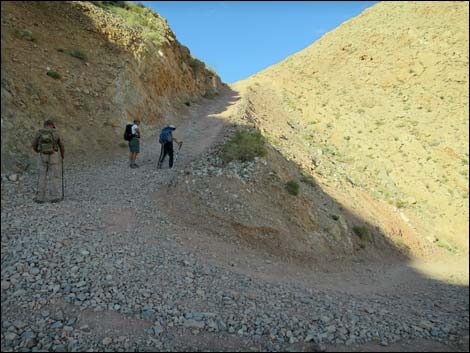
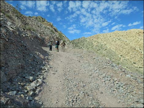
 Hikers on the first landing (view SW) |
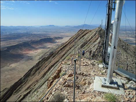
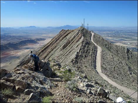
From the main saddle, the route continues south along the road and climbs very steeply up the north face of the north summit. The road actually gets steeper higher up, and from below, parts of the road look so steep that a safety rope might be needed! It turns out to be an optical illusion; but it is steep. The terrain eventually becomes too steep for the road, and another six switchbacks near the summit somewhat ease the grade. The road eventually climbs to a second landing, this time on a broad ridgeline, and the climb is essentially over. From the landing, it can be seen that the summit is formed of two peaklets and both are covered with communications towers. The northern peaklet (4,052 ft) is a bit higher than the southern peaklet (4,045 ft). |
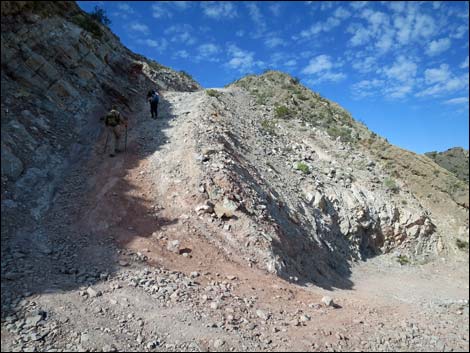
 First landing and view up the canyon (view SW) |
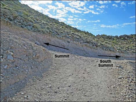
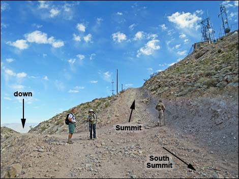
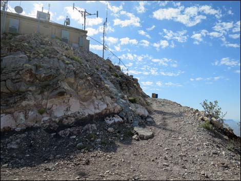
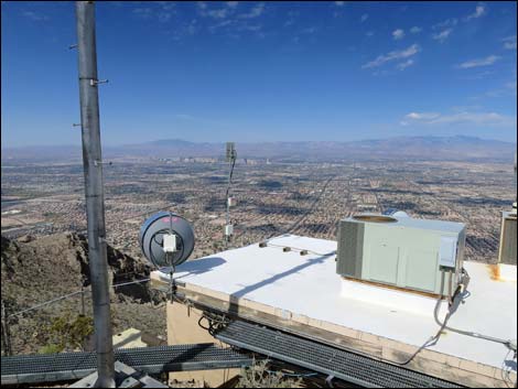
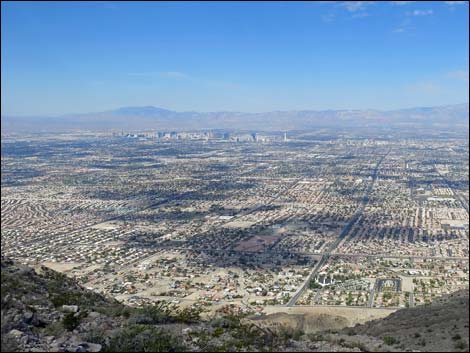
From the landing, the road continues south 80 yards to a fork (Wpt. 04; 2.12 miles out) below the north summit (the true summit). At the fork, the route turns hard to the left and switchbacks twice up to the summit (Wpt. 05; 2.21 miles out). The actual summit is fenced off, so continue past the propane tanks and scramble onto the ridgeline, which comes abruptly. Watch for tripping hazards such as loose wires and torn down fencing around the summit, and don't disturb the equipment. There is a summit cairn on the ridgeline outside (south of) the fence. About 10 feet below the cairn, on the west side (not on the ridgeline), a summit register is partially hidden by stones. After signing the register, block it in carefully to ensure that high winds don't carry it away. The summit area is not pristine wilderness, but the views of town to the west and of the Lake Mead region to the east are spectacular and well worth the effort to get here. Distant peaks on the far horizons add to the view. Plus, this peak is such a landmark that from anywhere in town, you can point at the peak and brag to everyone about your ascent. |
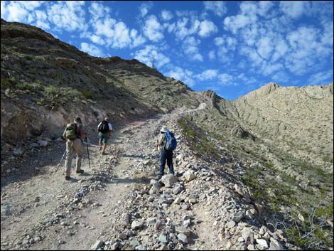
 Looking ahead towards the switchbacks (view SW) |
After enjoying the views and perhaps some lunch, consider continuing farther out the ridge to the South Summit, which although not as high as the true summit has communications towers and slightly better views of town. From the north summit, descend the road to the fork (Wpt. 04), then continue south 0.11 miles to the end of the road. Outside the fence, a use-trail switchbacks up the steep rocky slope (0.06 miles) to the ridgeline. As before, the ridgeline comes abruptly. On this peaklet, the actual summit is outside the fence. For photos of the route between the true summit and the south summit, see South Summit. After enjoying the view from the south summit, retrace your steps to the trailhead. Be sure to stop to rest on the way down because hiking down is harder on your knees than hiking up. For photos of the descent, see Frenchman Mountain Descent. |
 Looking ahead towards the switchbacks (zoom; view SW) |
 From the landing, the road drops into the canyon (view SW) |
 Lowpoint in the canyon (view SW) |
 Starting towards the first saddle (view SW) |
 The road gets steep again (view SW) |
 Hikers at the first of the lower switchbacks (view W) |
 Hikers past the second lower switchback (view S) |
 Hikers past the 2nd upper switchback (view SW) |
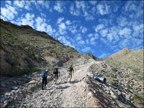
 Hikers past the 4th upper switchback (view SW) |
 Hikers past the 6th upper switchback (view SW) |
 Hikers past the 8th upper switchback (view SW) |
 Steep road leading onto the first saddle (view S) |
 Hikers on the first saddle; summit in background (view S) |
 Hikers starting down towards main saddle (view S) |
 Looking ahead to the summit switchbacks (view S) |
 Hikers winding down towards main saddle (view S) |
 Hikers descending towards main saddle (view S) |
 Near main saddle, gap in the hills towards Las Vegas (view W) |
 Las Vegas (view W) |
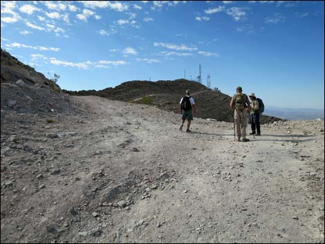
 Hikers at the main saddle (view S towards summit) |
 Starting climb towards the summit (view S) |
 Steep, rocky road (view S) |
 Steep, rocky road (view S) |
 How steep can a road get? This steep! (view SW) |
 Hikers starting into the summit switchbacks (view S) |
 Steep roadway switchbacks (view S) |
 Hikers taking a break on the steep switchbacks (view S) |
 Hikers resting at a flattish spot (view S) |
 Very steep road (view SW) |
 Hikers approaching last of the upper switchbacks (view S) |
 Hikers past the last of the upper switchbacks (view S) |
 Hikers at landing atop summit switchbacks (view S) |
 On roadway past the last switchback, the road forks (view SE) |
 Hikers at fork, starting towards summit (view N) |
 Approaching north summit (view E) |
 Looking over the edge to the north |
 Water and propane on the north summit (view SE) |
 Road ends at a fence; hikers scramble back and right (view N) |
 Summit (view NE) |
 Summit (view N) |
 Summit (view NW) |
 Summit (view S) |
 Hiker at summit cairn (register is below her feet; view S) |
 Summit (view E, looking over the edge of the cliff) |
 Summit (view N past end of the fence) |
 Summit (view SW across Las Vegas) |
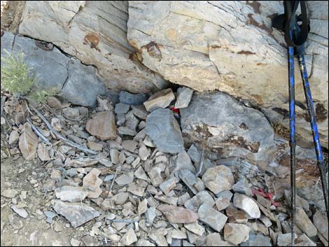 Summit register buried under rocks (view E) |
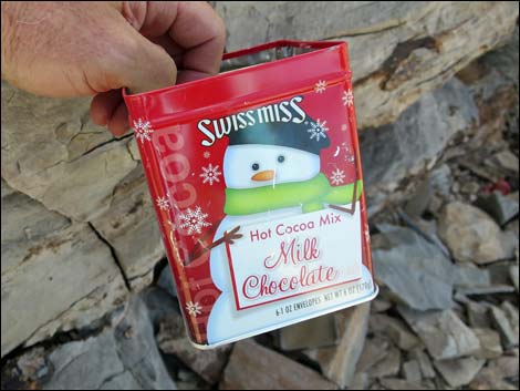 Festive summit register container (view SE) |
Table 1. Hiking Coordinates Based on GPS Data (NAD27; UTM Zone 11S). Download Hiking GPS Waypoints (*.gpx) file.
| Wpt. | Location | UTM Easting | UTM Northing | Elevation (ft) | Point-to-Point Distance (mi) | Cumulative Distance (mi) | Verified |
|---|---|---|---|---|---|---|---|
| 01 | Frenchman Trailhead | 680855 | 4008044 | 2,184 | 0.00 | 0.00 | GPS |
| 02 | First Saddle | 680327 | 4006545 | 3,496 | 1.27 | 1.27 | GPS |
| 03 | Second Saddle | 680308 | 4006095 | 3,234 | 0.29 | 1.56 | GPS |
| 04 | Fork in the Road | 680117 | 4005433 | 3,879 | 0.56 | 2.12 | GPS |
| 05 | North Summit | 680156 | 4005477 | 3,967 | 0.09 | 2.21 | GPS |
| 06 | South Summit | 680087 | 4005222 | 3,972 | 0.26 | 2.47 | GPS |
| 01 | Frenchman Trailhead | 680855 | 4008044 | 2,184 | 2.29 | 4.76 | GPS |
Happy Hiking! All distances, elevations, and other facts are approximate.
![]() ; Last updated 240326
; Last updated 240326
| Hiking Around Lake Mead | Hiking Around Las Vegas | Glossary | Copyright, Conditions, Disclaimer | Home |