
Hiking Around Las Vegas, Hiking Lake Mead NRA, Hiking Wilderness Areas

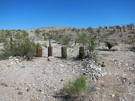 Trailhead (view N) |
Overview This is a beautiful hike into the Ireteba Peaks Wilderness Area that follows an old mining road and a wash on a route to no particular destination. At about 1.84 miles out, there is a nice, flat rock atop an outcrop overlooking the wash with views that stretch from the summit of Ireteba Peak to the waters of Lake Mojave. This makes a nice place to stop. This hike offers great solitude, grand scenery, and the chance to hike in a really remote wilderness area. The loose sand in the wash offers a good workout for the legs too. Link to route map. |
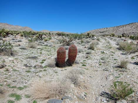 Barrel Cactus along old road (view N) |
Watch Out Other than the standard warnings about hiking in the desert, ...this is a fairly safe hike. There is nothing unusually dangerous about this route, but the area is remote, and hikers are far from help, so be careful with routine things. While relaxing on the "sitting rock," don't fall asleep and roll off. While hiking, please respect the land and the other people out there, and try to Leave No Trace of your passage. This hike goes into Wilderness, so pay particular attention to respecting the land. This hike runs off-trail where nobody will find you, so be sure to bring the 10 Essentials. Cell phones don't work. |
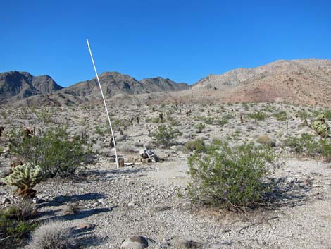 Survey marker (view W from road) |
Getting to the Trailhead This hike is located in Lake Mead National Recreation Area, about 2 hours south of Las Vegas, east of Searchlight. From town, drive south on Highway 95 to Searchlight (Table 1, Site 0927). In downtown Searchlight, turn left onto Cottonwood Cove Road and drive east for 7.8 miles) to Rockefeller Mine Road (Site 1320) on the left. Drive generally northward on Rockefeller Mine Road for 10.5 miles to a fork in the road (Site 1358). Turn right onto the lesser road, and drive another 0.13 miles to the end of the road in a broad wash (Site 1360). Park here; this is the trailhead. |
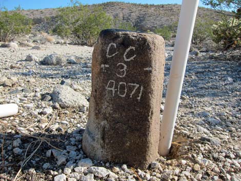 Monument stone marker (view NE) |
The Hike From the trailhead (Table 2, Waypoint 01), the route passes wooden barricades and follows the closed road northward. In a moment or two, the road passes a side road to the left that runs out to the northern part of the Rockefeller Mine complex. The main road continues up a gradual hill to a low ridgeline, and by the time the views become grand, hikers have entered the Ireteba Peaks Wilderness Area, although the road quickly exits the wilderness area onto private land (see the map). At about 0.23 miles out, the route passes a survey monument (Wpt. 02) with a tall PVC pipe and a stone marker bearing a cryptic code: CC-3-9071. The monument marks where the road crosses out of private land and back into wilderness. It seems that much of the illegal vehicle traffic stops here. From this point on, the hike is entirely inside wilderness. |
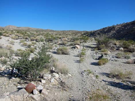 Route crosses wash and continues north (view N) |
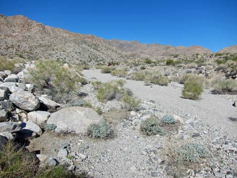
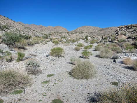
At about 0.4 miles out, the old road crosses a wash and runs along the edge of a dark-colored hill. The old road seems to disappear into the sands of the wash, but it continues close to the base of the hill and regains the high ground, again with grand views in all direction. The old road does eventually disappear into the sands of a wash, but by then, the route merely follows the wash upstream. The wash forks at about 1.19 miles out (Wpt. 03), and the route stays right in the main wash. The other wash runs about 0.2 miles to a mining prospect. |
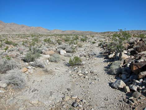 Old road beyond the wash (view N) |
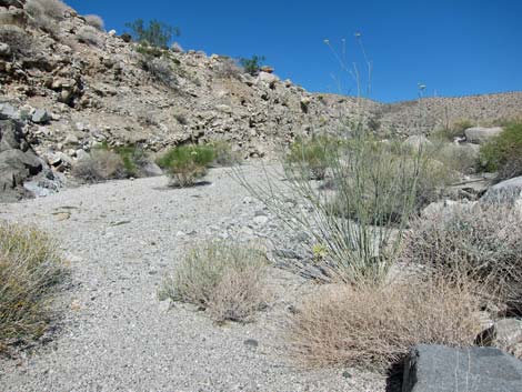
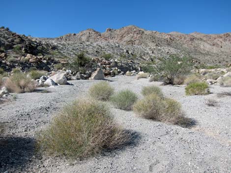
Staying to the right, the wash begins into a canyon where the scenery is grand, but the views are more intimate. In some places, the walls of the wash provide welcome shade. Hiking up the wash, the canyon narrows and eventually the last of the illegal vehicle traffic stops, perhaps because of the deep, shifting sands. The wash eventually pinches down, and at about 1.78 miles out, the route passes a low pour-over (Wpt. 04). From that point, hikes can loop up the canyon, and on the right (north) side of the wash, see a rock outcrop with a flat rock perched on the top. The flat rock makes a nice place to stop, sit, relax, enjoy the scenery, and eventually turn back towards the trailhead. Continue up the wash, climb the wash bank, and sit atop the "sitting rock" (Wpt. 05; 1.84 miles out). |
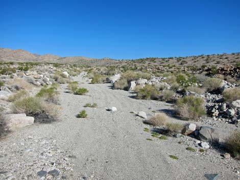 Old road disappears into sandy wash (view NW) |
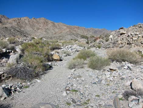 Route follows wash (view NW) |
 |
 |
 |
 |
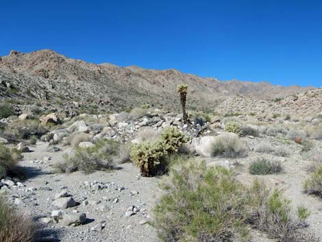 Teddybear Cholla in the wash |
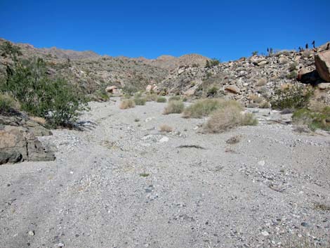 Soft sand in wash with motorcycle tracks |
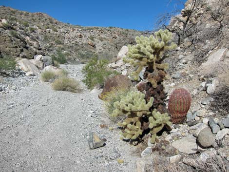 Teddybear Cholla and California Barrel Cactus |
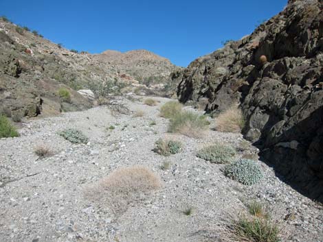 Canyon narrows (view NW) |
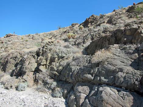 Rocky hillside with Teddybear Cholla |
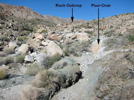 Pour-over and Sitting Rock (view NW) |
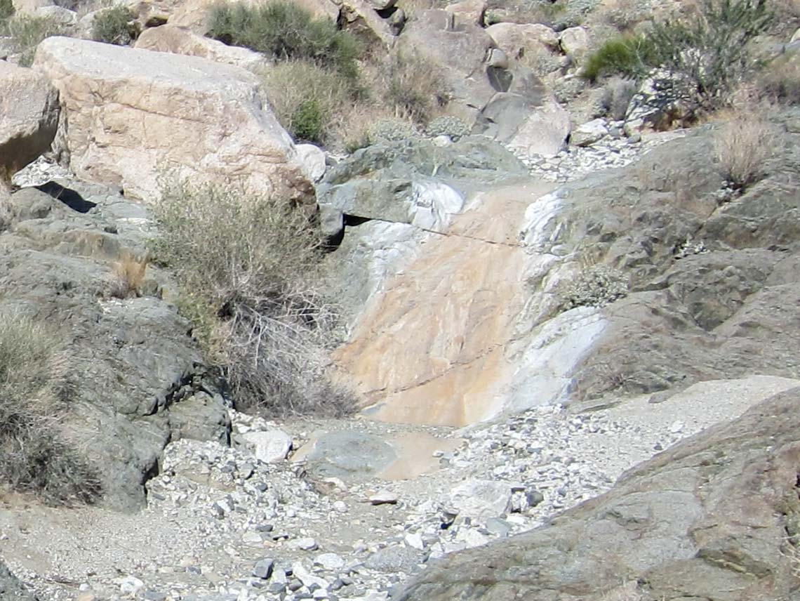 Pour-over (view NW) |
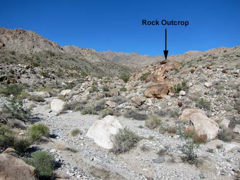 Sitting Rock (view NW) |
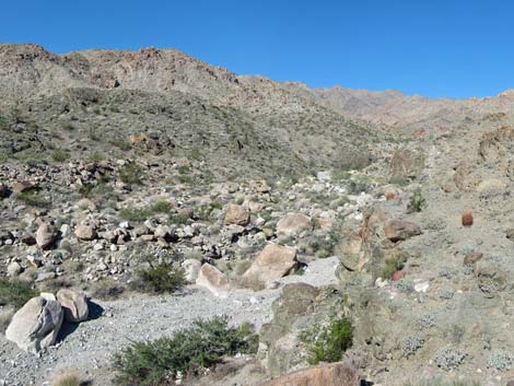 Atop Sitting Rock (view W) |
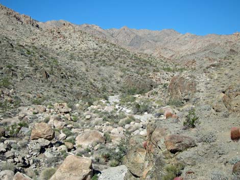 Atop Sitting Rock (view NW) |
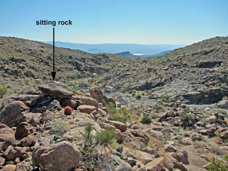 Atop Sitting Rock (view SE to Lake Mojave) |
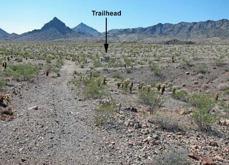 Returning to the trailhead (view S) |
Table 1. Highway Coordinates Based on GPS Data (NAD27; UTM Zone 11S). Download Highway GPS Waypoints (*.gpx) file.
| Site | Location | UTM Easting | UTM Northing | Latitude (N) | Longitude (W) | Elevation (ft) | Verified |
|---|---|---|---|---|---|---|---|
| 0927 | Hwy 95 at Hwy 164, Searchlight | 688813 | 3926424 | 35.46519 | 114.91921 | 3,500 | Yes |
| 1320 | Cottonwood Cove Rd at NPS Rd 32 | 701103 | 3928204 | 35.47882 | 114.78341 | 1,982 | GPS |
| 1358 | NPS Rd 32 at Side Road | 701894 | 3938733 | 35.57352 | 114.77208 | 1,896 | GPS |
| 1360 | Ireteba Wash Trailhead Parking | 702075 | 3938802 | 35.57411 | 114.77007 | 1,857 | GPS |
Table 2. Hiking Coordinates Based on GPS Data (NAD27; UTM Zone 11S). Download Hiking GPS Waypoints (*.gpx) file.
| Wpt. | Location | UTM Easting | UTM Northing | Elevation (ft) | Point-to-Point Distance (mi) | Cumulative Distance (mi) | Verified |
|---|---|---|---|---|---|---|---|
| 01 | Ireteba Wash Trailhead | 702075 | 3938802 | 1,857 | 0.00 | 0.00 | GPS |
| 02 | Monument | 701968 | 3939125 | 1,915 | 0.23 | 0.23 | GPS |
| 03 | Wash Forks | 701255 | 3940229 | 2,139 | 0.96 | 1.19 | GPS |
| 04 | Pour-Over | 700621 | 3940751 | 2,301 | 0.59 | 1.78 | GPS |
| 05 | Sitting Rock | 700556 | 3940766 | 2,351 | 0.06 | 1.84 | GPS |
| 01 | Ireteba Wash Trailhead | 702075 | 3938802 | 1,857 | 1.84 | 3.68 | GPS |
Happy Hiking! All distances, elevations, and other facts are approximate.
![]() ; Last updated 240326
; Last updated 240326
| Hiking Wilderness | Hiking Lake Mead | Hiking | Glossary | Copyright, Conditions, Disclaimer | Home |