Hiking Around Las Vegas, Lake Mead NRA, Black Canyon Wilderness Area
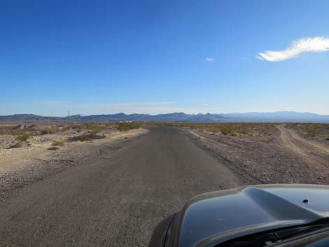
 Utah Street beyond the edge of urban area Utah Street beyond the edge of urban area |
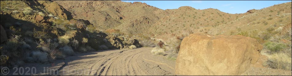
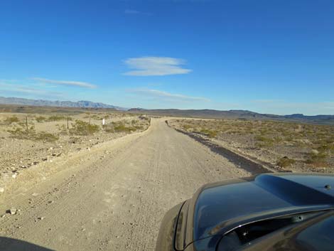
Road Update: January 2020: Upper portions of the road are fine, but the lower end has become quite rocky and narrow. It was uncomfortably narrow in my long-bed, crew-cab RAM truck, but we make it downhill in 2WD. 4WD was required to get back out. Overview Boy Scout Canyon Road provides access to Boy Scout Canyon, a nice, close-to-town, 4-mile hike down a sandy wash in a beautiful desert canyon until passage is blocked by a 330-foot-high pour-over. The first 2.2 miles, however, can be driven in a 4WD vehicle, but the remaining 1.8 miles is a hike in the Black Canyon Wilderness Area. There is no road, per se, but the wash is wide, narrow, sandy, and rocky, soft, and firm, all of which provides various driving challenges in a scenic environment of volcanic cliffs and Mojave Desert Scrub vegetation. Link to Road Map. |
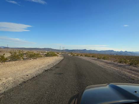
 Utah Street approaching the waste transfer station |
Watch Out Other than the standard warnings about hiking in the desert, ...this is a fairly safe drive down a sandy wash, but sandy washes can be softer than they look, especially when tires loosen and stir up the sand. There are some tight curves, so always consider that oncoming traffic might be right around the corner. Parts of the canyon are barely wide enough for a full-sized pickup. While out, please respect the land and the other people out there, and try to Leave No Trace of your passage. Also, even though this road is short, so be sure to bring what you need of the 10 Essentials. This road goes into the Black Canyon Wilderness Area, so pay particular attention to respecting the land. |
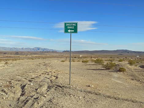
 Utah Street approaching the turn towards "Courtesy Range" |
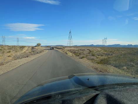
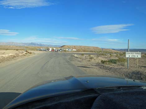
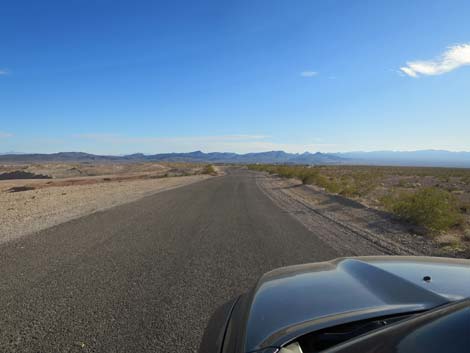
Getting to the Trailhead This road is located in Lake Mead National Recreation Area, just southeast of Boulder City. From downtown Boulder City, drive southeast on Utah Street out past the cemetery into the open desert. Utah Street ends at a garbage transfer station. Just before the transfer station (Table 1, Site 1214), a paved road branches to the right. The only sign is for "Courtesy Range," in reference to the gun range. Turn right onto this paved road and drive south following signs towards the gun range. The paved road runs southeast for about 0.85 miles to just before encountering Interstate 11. The paved road curves left (Site 1215) and runs down to pass under the Interstate. Immediately after coming out from under the interstate, a dirt road (signed to 'Canyon Point') branches to the right. Turn onto Canyon Point Road, which climbs back up along the side the Interstate. When back level with the interstate, Canyon Point Road curves left and heads out into the desert. |
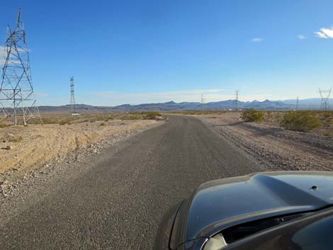
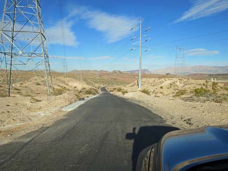
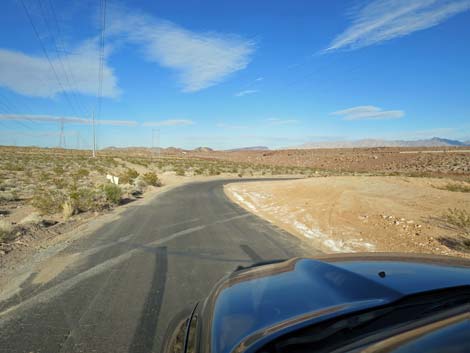
 Continuing towards the gun range |
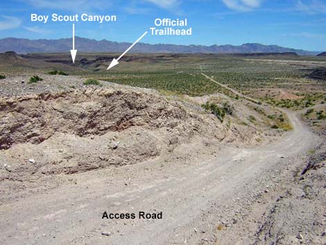
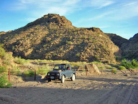
Continuing eastward for another half-mile, Canyon Point Road curves hard to the right (Site 1216). At the curve, Boy Scout Canyon Road continues straight as narrow road that cuts through at gap in the mud hills and heads steeply down into the valley below. Boy Scout Canyon Road follows the gun club fence for 0.7 miles to the Lake Mead boundary (Site 1217), which is marked with four signs and post-and-cable fencing on both sides of the road to discourage off-road driving. The Lake Mead boundary signs are out in the middle of a broad valley, but this is the official trailhead for the Boy Scout Canyon hike. However, in a 2WD vehicle, drivers should be able to safely proceed another 0.3 miles down the road. I would not take a 2WD vehicle much beyond the gate (where the fencing ends) at a narrow spot in the canyon. |
 Continuing towards the gun range |
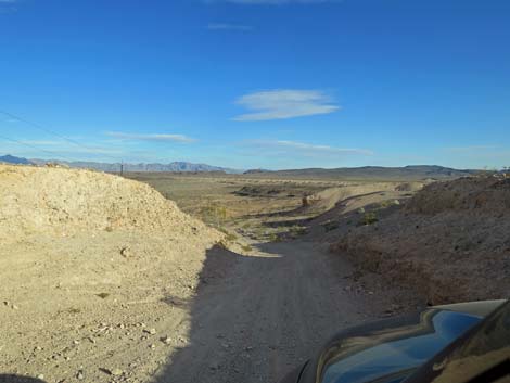
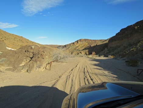
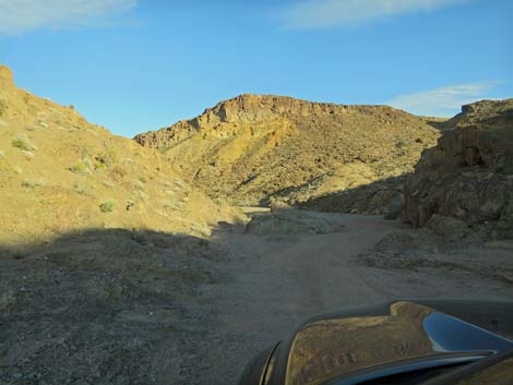
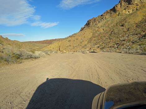
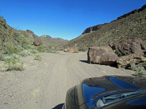
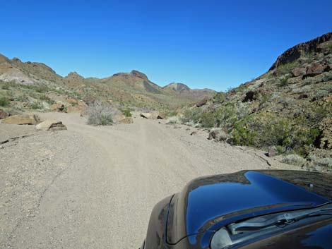
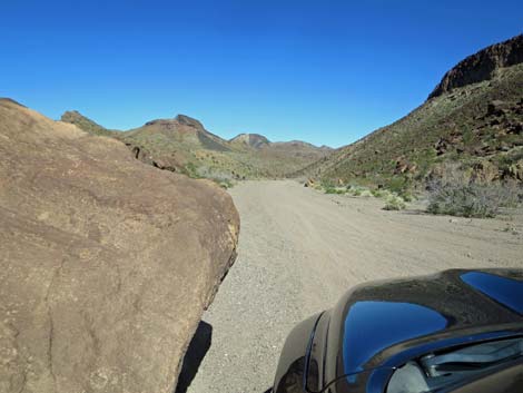
With a 4WD vehicle, Boy Scout Canyon Road continues another 2.2 miles down the sandy wash and dead ends (Site 1218). From this point, the road continues down the broad, sandy wash. Before long, however, the rocky canyon walls press in, rocks crop out of the sand, and things become more interesting. There are a few places where the road seems to fork, and in a narrow vehicle, all ways probably are passable, but in a bigger truck, pick your route carefully and back out when necessary. The very end of the road is a bit tight for turning around a big truck, but a short backup brings one to a wider spot convenient for turning around. For hikers, the end of the road is the start of the hike down Boy Scout Canyon. |
 Continuing towards the gun range |
 Approaching Interstate 11 |
 Sharp bend left along side Interstate 11 |
 Sign for the Shooting Range |
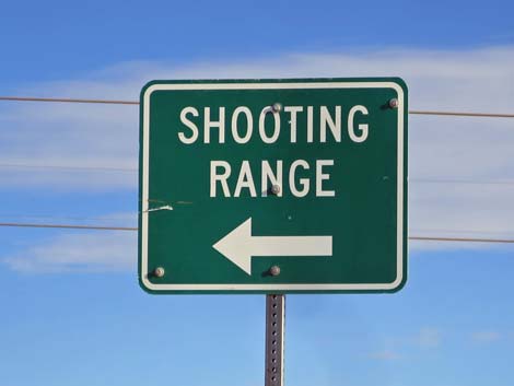 Sign for the Shooting Range |
 Narrow road cuts down under powerlines |
 About to curve right to pass under Interstate 11 |
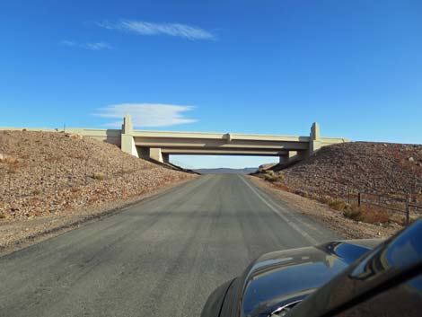 Bridge under Interstate 11 |
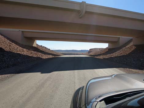 Bridge under Interstate 11 |
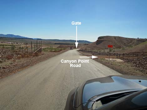 Approaching Canyon Point Road |
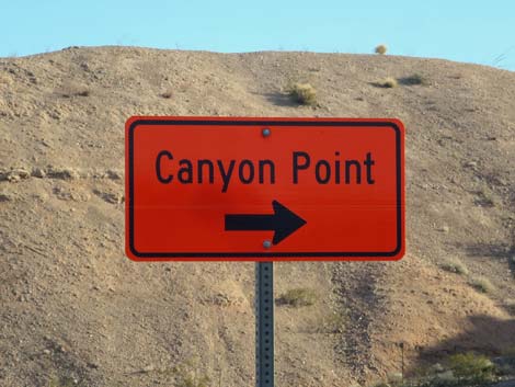 Canyon Point Road sign |
 Canyon Point Road cutting back up along side the Interstate |
 Canyon Point Road cutting back up along side the Interstate |
 Canyon Point Road curves away from the Interstate |
 A short bit of pavement before heading into the desert |
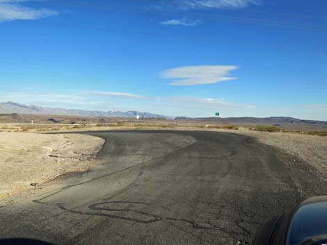
 Canyon Point Road approaching a sharp curve right |
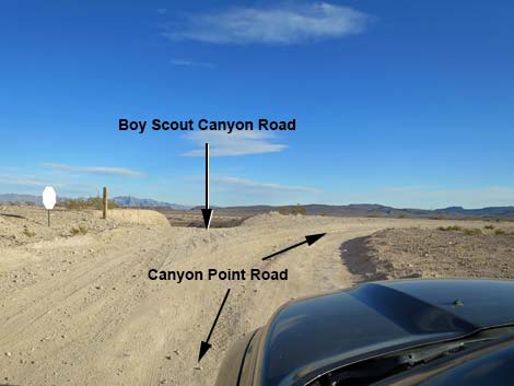 Canyon Point Road curves right; Boy Scout Road continues straight |
 Boy Scout Canyon Road (view east from Canyon Point Road) |
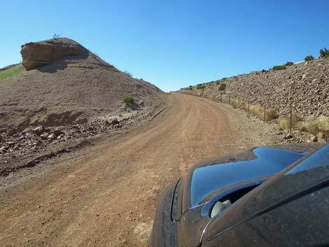
 Boy Scout Canyon Road descends steep and narrow |
 Boy Scout Canyon Road with Gun Range facilities on the left |
 Stay outside the Gun Range fenceline! |
 One of many "private property" signs |
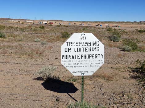 One of many "private property" signs; gun range in background |
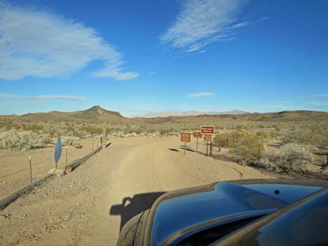 Boy Scout Canyon Road approaching Lake Mead NRA boundary |
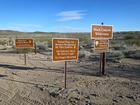 Lake Mead NRA and Black Canyon Wilderness boundary signs |
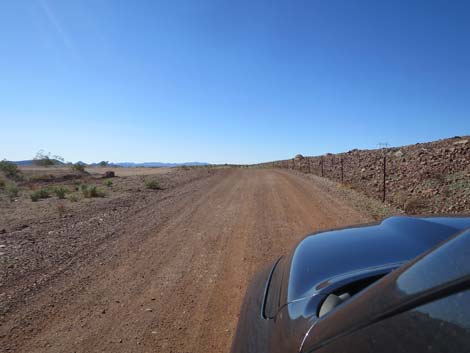
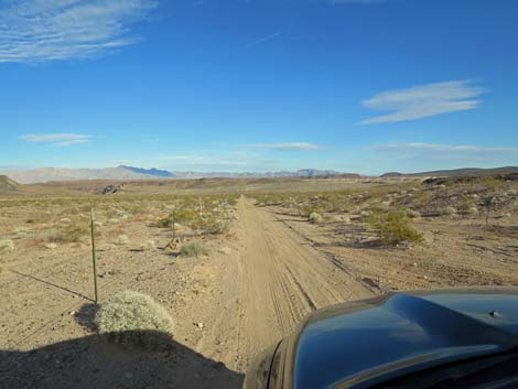
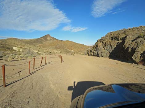
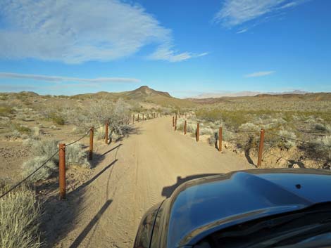 Boy Scout Canyon Road is lined with post-and-cable fencing |
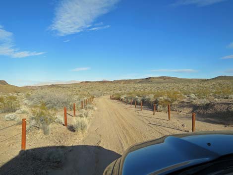 Boy Scout Canyon Road is lined with post-and-cable fencing |
 Boy Scout Canyon Road is lined with post-and-cable fencing |
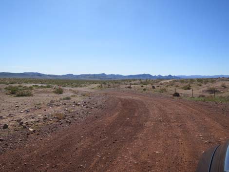
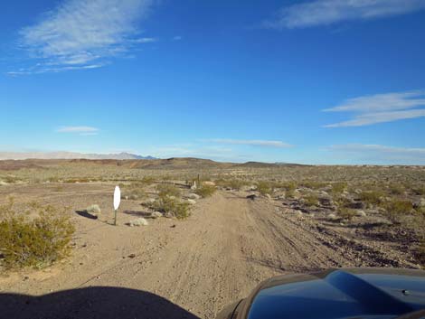
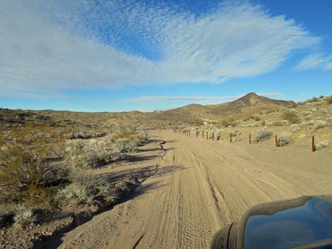
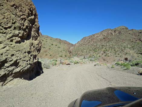
 Approaching the end of the fencing and the 2WD parking area |
 Soft sand where the road goes through an old gate |
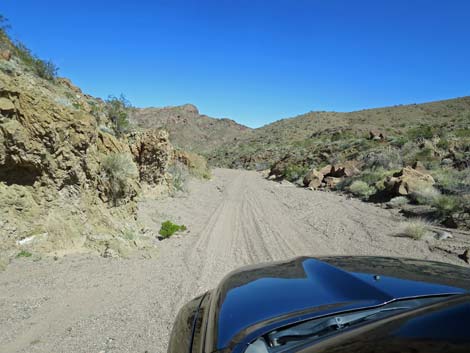
 Sometimes firm soils continue for some distance |
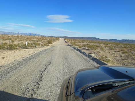
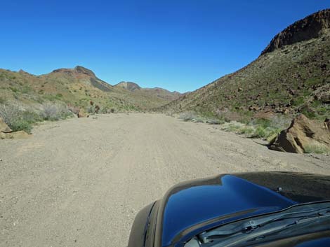
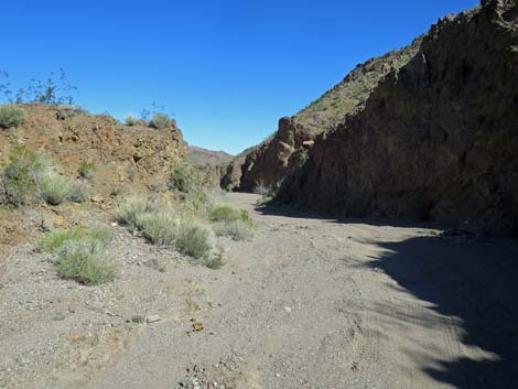
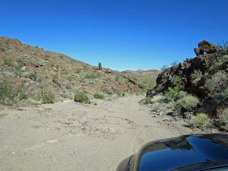
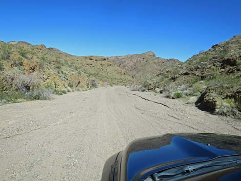
 Wide and firm |
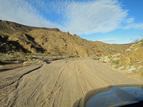 Wide and softer |
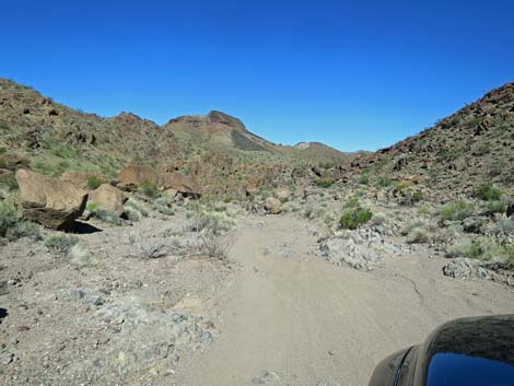
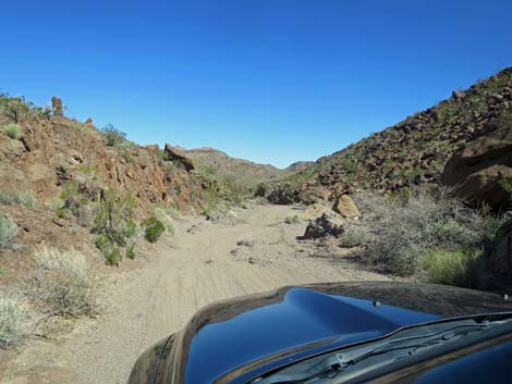
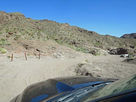
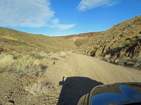 The road narrows |
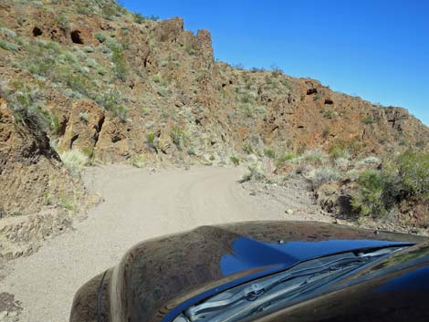
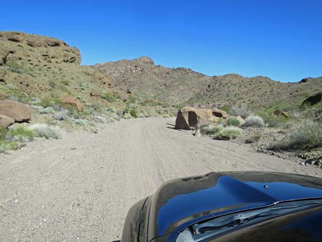
 Soft sand going into a blind corner |
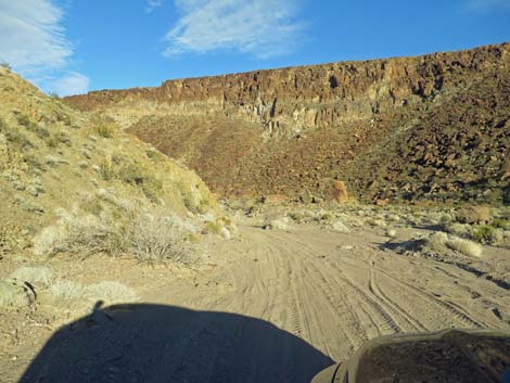
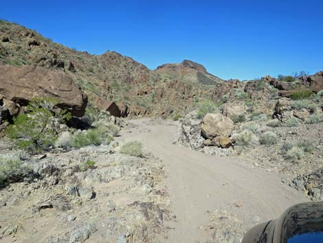
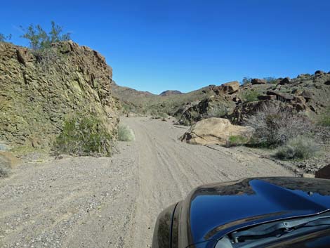
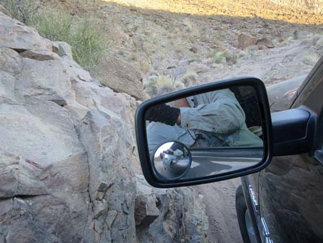
 Approaching the most troublesome rocks |
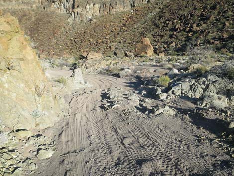 Worst of the troublesome rocks |
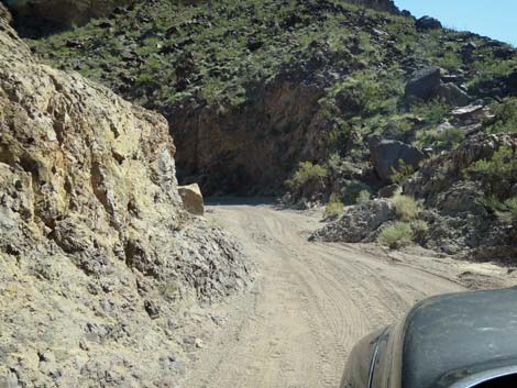
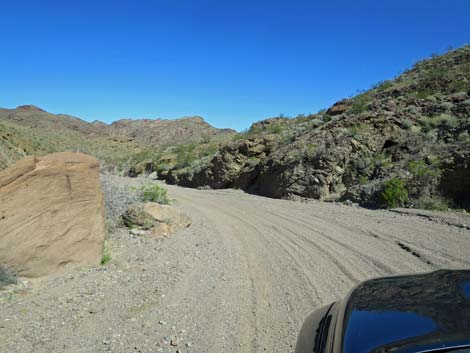
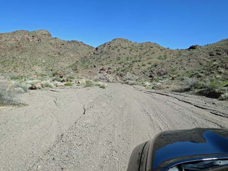
 Back on easy road |
 |
 |
 |
 |
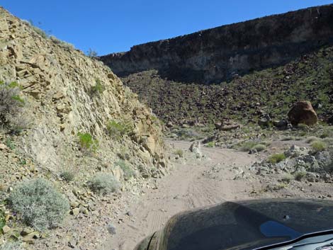
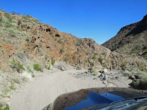
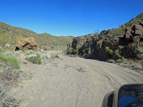
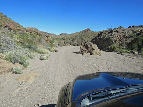
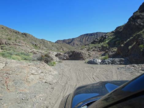
 Approaching another narrow, rocky section |
 Narrow, rocky section |
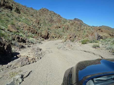 Narrow, rocky section |
 Back on easy road |
 |
 |
 |
 |
 |
 |
 |
 |
 |
 |
 |
 |
 |
 |
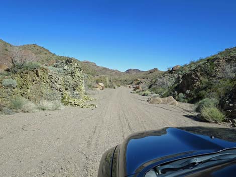
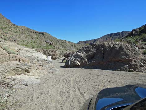
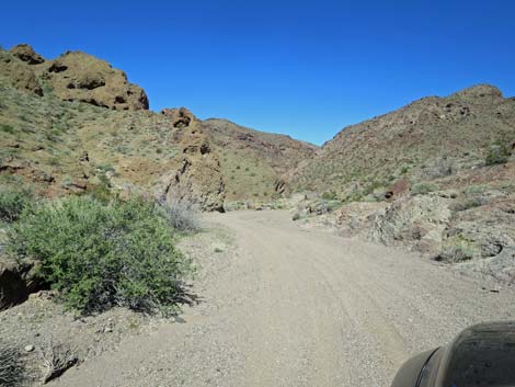 Approaching the end of the road |
 Approaching the end of the road; fencing on left |
 Approaching the trailhead |
 Trailhead parking area |
 The canyon is blocked with a cable gate |
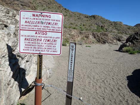 Signs at the gate |
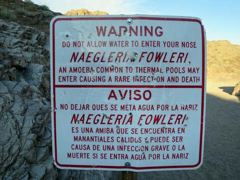 Warning sign about Naegleria fowleri for those going all the |
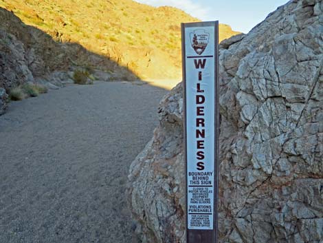 Black Canyon Wilderness Area boundary sign |
 Trailhead parking a few yards before the end of the road |
 This part of the canyon was particularly tight |
Table 2. Highway Coordinates based on GPS data (NAD27; UTM Zone 11S). Download Highway GPS Waypoints (*.gpx) file.
| Site # | Location | UTM Easting | UTM Northing | Latitude (N) | Longitude (W) | Elevation (ft) | Verified |
|---|---|---|---|---|---|---|---|
| 1214 | Utah Street at dirt | 697391 | 3982008 | 35.96434 | 114.81108 | 2,371 | GPS |
| 1215 | Boy Scout Rd @ Last Powerlines | 697890 | 3980735 | 35.95277 | 114.80586 | 2,304 | GPS |
| 1216 | Turn down through gap | 698434 | 3980455 | 35.95014 | 114.79991 | 2,262 | GPS |
| 1217 | Lake Mead Boundary | 699621 | 3980492 | 35.95023 | 114.78674 | 2,092 | GPS |
| 1218 | Boy Scout Road End | 701197 | 3983039 | 35.97285 | 114.76864 | 1,705 | GPS |
Happy Hiking! All distances, elevations, and other facts are approximate.
![]() ; Last updated 240326
; Last updated 240326
| Hiking Around Lake Mead | Hiking Around Las Vegas | Glossary | Copyright, Conditions, Disclaimer | Home |