Backroads Around Las Vegas, Lake Mead National Recreation Area
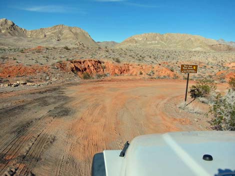
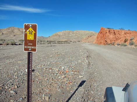
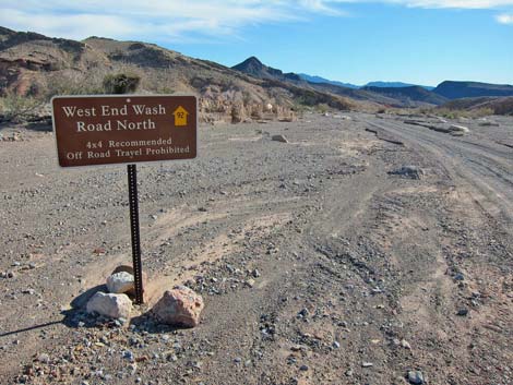
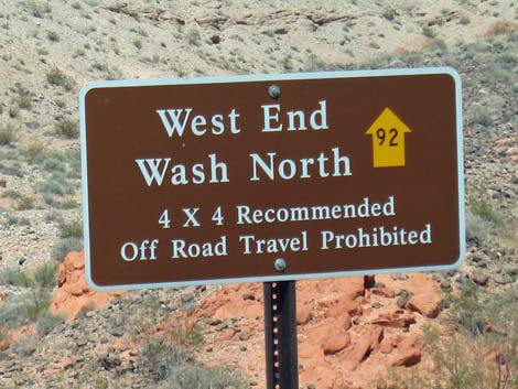 West End Wash North Road (Road 92) sign |
Overview West End Wash North Road is a well-used two-track road that follows a gravel wash from Northshore Road north into the wild backcountry of Lake Mead National Recreation Area and out onto BLM land. The road provides access to primitive campsites, several side roads, and hikes in the Muddy Mountains Wilderness Area. This road leads through spectacular country for many miles and, for the hardy, can be used to connect with Valley of Fire Road. Driving up the wash requires a carefully driven, 4WD vehicle. Link to map. |
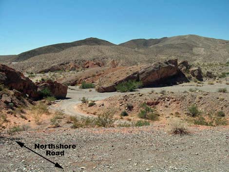
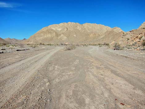
 Northshore Rd at West End North Rd (view NE) |
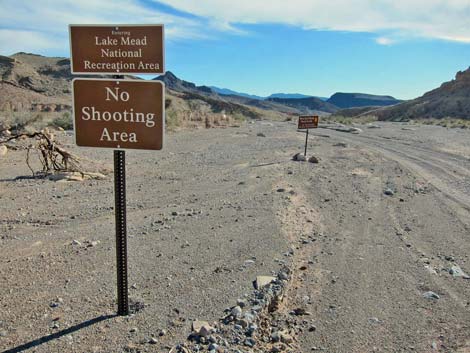
Watch Out Other than the standard warnings about hiking in the desert, ...this is a fairly easy drive except for where it is washed out. The road is not maintained, but lower parts are suitable for carefully driven 2WD-HC vehicles, although 4WD vehicles are safer because you just never know when a patch of soft gravel will suck you down. In my jeep, I stayed in 2WD, but it was reassuring to have 4WD just in case. While out, please respect the land and the other people out there, and try to Leave No Trace of your passage. This road is long, so be sure to bring the 10 Essentials. |
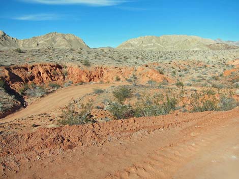
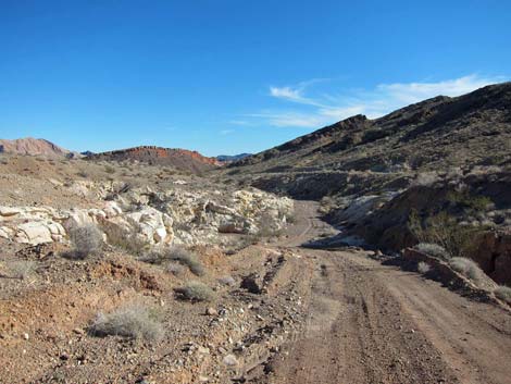
 Turning off Northshore Road and onto West End North Rd (view NE) |
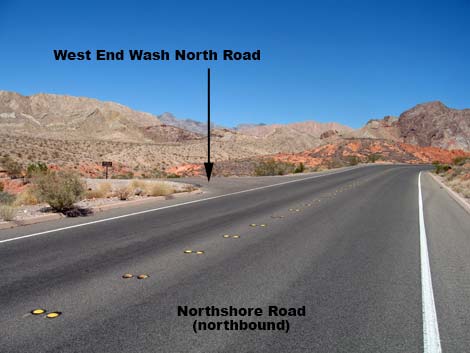
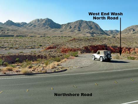
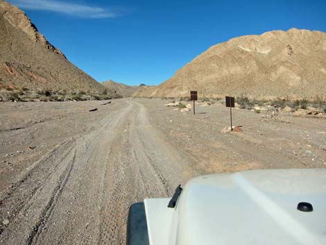
Getting to the Roadhead This road is located along Northshore Road in Lake Mead National Recreation Area, about 40 minutes northeast of Las Vegas. From town, drive out to Lake Mead, and then north on Northshore Road to about Mile 13.3. Northshore Road crosses the wash, and then West End Wash North Road turns off to the left (north). There is no sign right along Northshore Road, but watch for a paved apron and dirt road on the left. After turning onto West End Wash North Road, drivers will see the road sign: West End Wash North #92, 4x4 Recommended; Off Road Travel Prohibited. |
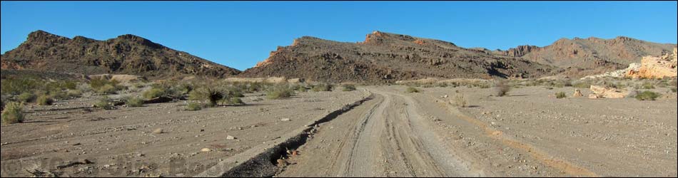
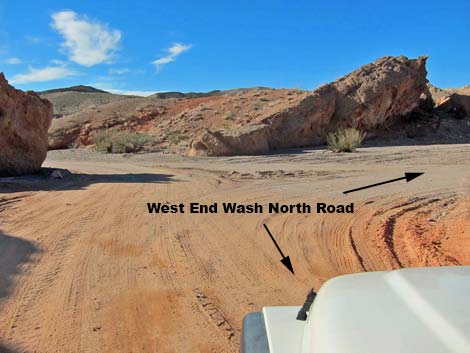
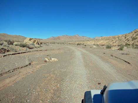
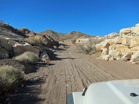
 Starting out on West End North Rd (view NE) |
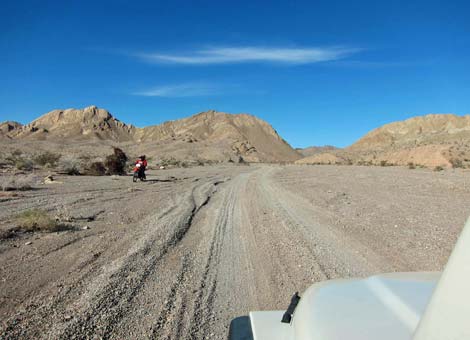
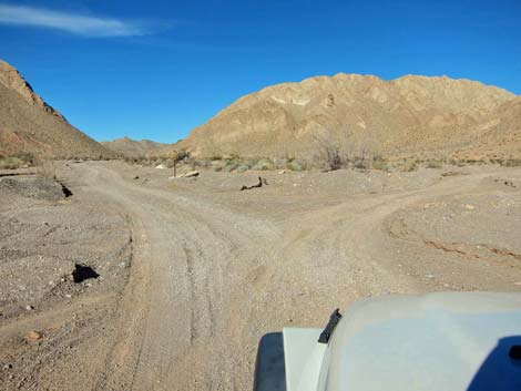
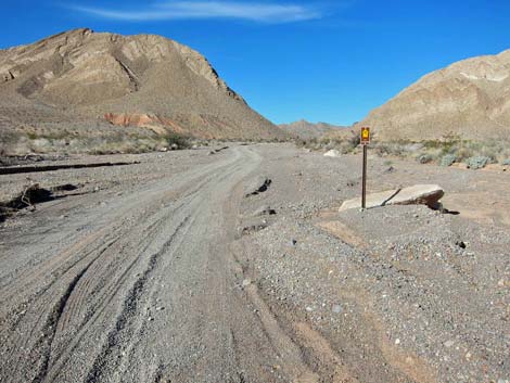
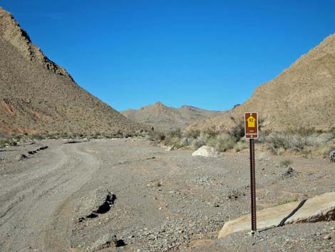
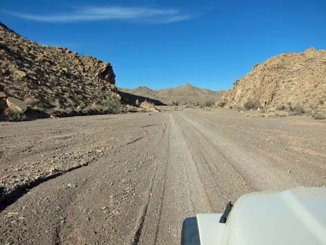
The Road From the pavement (Table 1, Site 1412), West End Wash North Road runs north to wind through a big hairpin turn to the left before dropping into the sandy West End Wash, which can be seen from near the pavement. In the wash, drivers turn right and head north into the wild country. Turning north, drivers might notice a Road 92 approved-route symbol sign (yellow arrow on a brown background) lying on the ground. At about 0.8 miles out, West End Wash North Road forks (Site 1488). The main road stays left (north), while the side road to the right runs northeast and eventually splits again. At that split, the left fork runs out to the edge of Muddy Mountains Wilderness Area, while the right fork used to connect with Anniversary Mine Road but is now blocked by mining activities. Continuing north on West End Wash North Road, the Lake Mead NRA boundary (Site 1489) is passed at about 1.0 miles out; from this point on, the road runs on BLM land. |
 West End North Rd can be see snaking down into the wash (view W) |
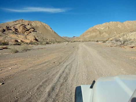
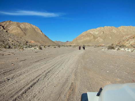
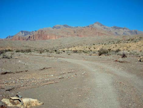
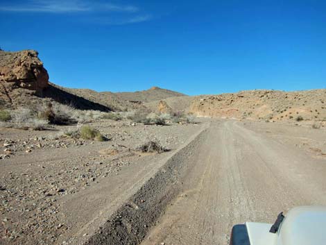
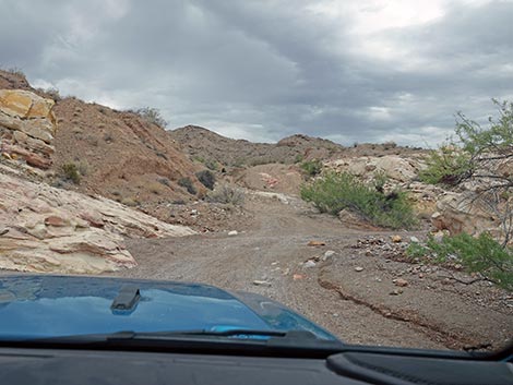
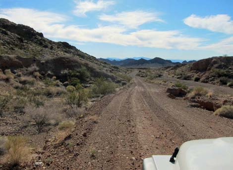
West End Wash North Road runs up the wash and passes through a gap in a ridge, then proceeds into a broad, sandy valley. The road eventually passes another narrow area, then splits (Site 1490) again. The main road stays right, but both forks merge in about 0.3 miles. Now running northwest, West End Wash North Road runs across another broad valley, and the road splits again (Site 1491). Here, a side road forks right to the north, actually staying in West End Wash, proper. At this point, however, West End Wash North Road stays left and begins to exit the West End Wash drainage system. Still running northwest, West End Wash North Road heads up a side wash and runs through yet another narrows into another broad valley where the road splits (Site 1492) yet again. Here, a side road forks right to run up a wash and end at the edge of the Muddy Mountains Wilderness Area. |
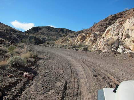
 West End North Rd makes a big, hair-pin turn (view NE) |
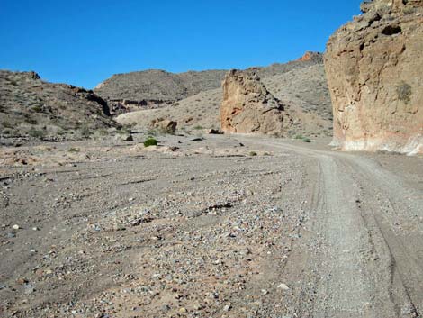
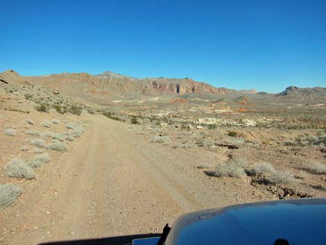
Staying left, West End Wash North Road runs up a wash into a narrowing canyon, then climbs out of the wash on an old road. Unfortunately, the old road has a broad, deep rut running up the center, and straddling the rut with a full-sized truck might be tricky. Narrow jeeps can stay on the right edge of the road, but driving between the ditch and the soft edge of the road could be dangerous. The road winds about, passing a nice campsite on a corner, and then climbs southwest onto a high saddle (Site 1493). From the saddle, the road continues southwest out into the open desert. The road eventually turns northwest and winds through mining areas, crosses railroad tracks, and runs past a solar farm before reaching pavement at Pabco Road (just north of the Pabco Gypsum plant). At this point, drivers can turn south back to Lake Mead Blvd., turn north to Apex and I-15, or proceed about 1/2-mile north on Pabco Road before turning northeast on a gravel powerline road, which eventually connects with Valley of Fire Road. This gravel road is in pretty bad shape, and it gets worse farther out. It has been described as slow, tedious, and brutal. |
 Entering West End Wash (view W) |
 Approved road sign (view N) |
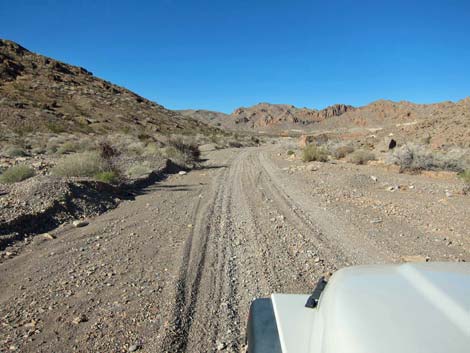
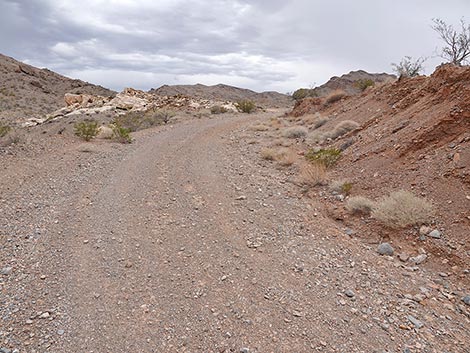
 West End North Rd (view N) |
 West End North Rd (view N) |
 West End North Rd (view N) |
 West End North Rd (view N) |
 Road forks; WER-N stays left (view N) |
 Staying left, approved road sign (view N) |
 Approved road sign (view N) |
 Approaching Lake Mead NRA boundary (view N) |
 Looking back: sign for entering Lake Mead NRA (view S) |
 Looking back: sign for entering Lake Mead NRA (view S) |
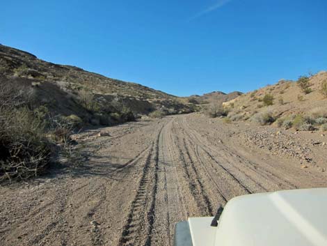
 West End North Rd (view N) |
 West End North Rd (view N) |
 West End North Rd (view N) |
 West End North Rd (view N) |
 Road in narrows area (view N) |
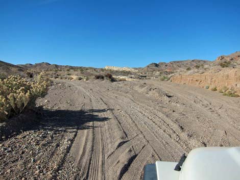
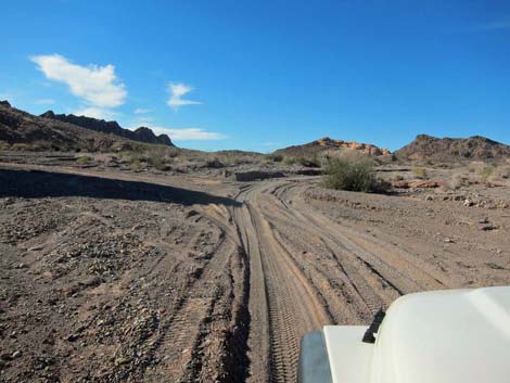 Road forks; main stays right (view NW) |
 West End North Rd (view N) |
 West End North Rd (view N) |
 West End North Rd (view N) |
 West End North Rd (view NW) |
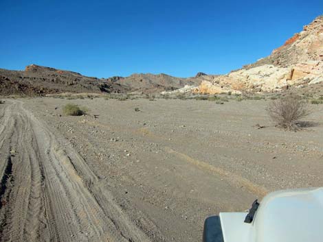
 Faint road right runs up another wash |
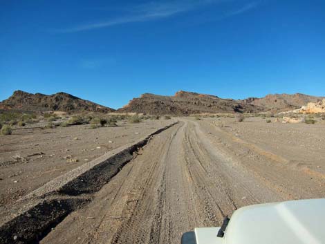
 Road runs along base of ridge |
 Road in wash (view W) |
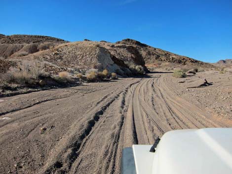
 Approaching built road (view NW) |
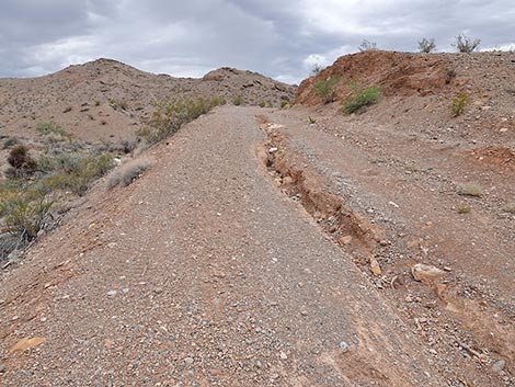
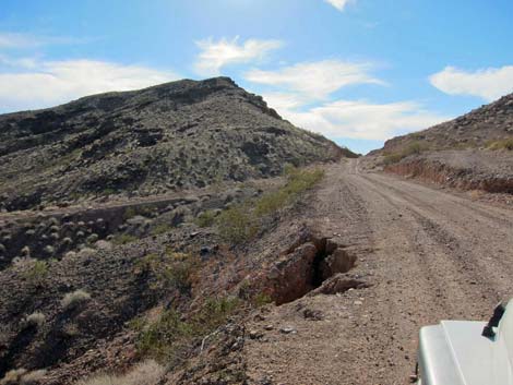
 West End Wash Road approaching washed out road (view NW) |
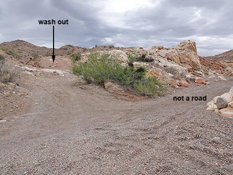 West End Wash Road stays left onto washed out road (view NW) |
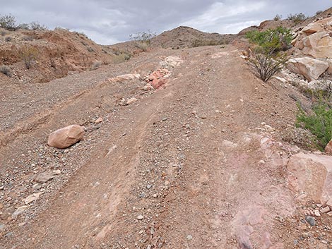 West End Wash Road with washed out center (view NW) |
 Above the big gully, only a narrow gully (view NW) |
 Beyond the gully, the road remains in good condition (view N) |
 Camp area on edge of ravine with a view (view E) |
 Campsite on edge of ravine with a view (view E) |
 Approaching saddle (view SW) [this road is badly rutted] |
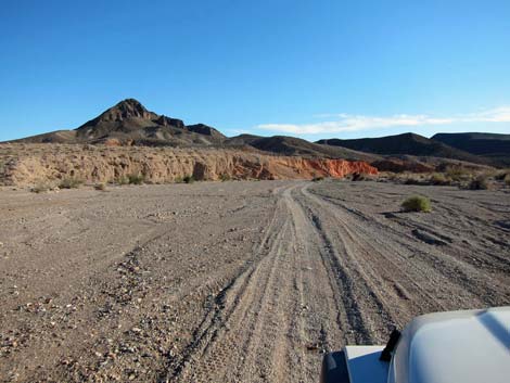
 Beyond the saddle, the road runs forever (view SW) |
 More to come ... |
Returning back down West End Wash North Road
 Descending from the saddle (view NE towards Gale Hills) |
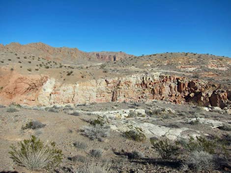
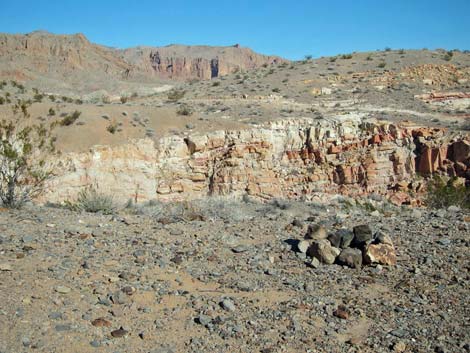
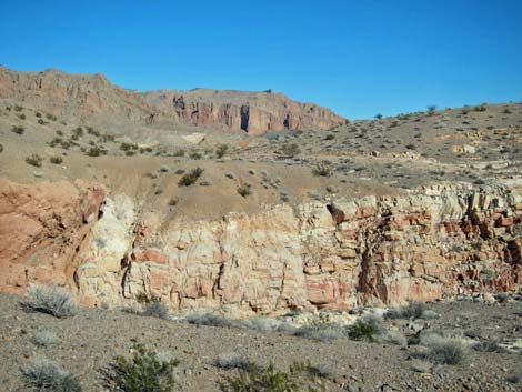 Colorful ravine (view E) |
 End of the built road, entering a wash |
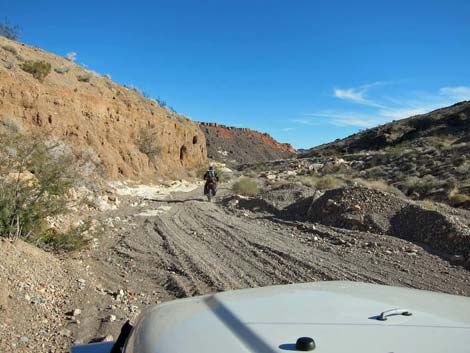 Allowing motorcycle to pass (view SE) |
 Nearing Northshore Road (view S) |
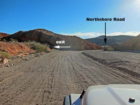 Northshore Road in view (view S) |
Table 1. Backroad Coordinates Based on GPS Data (NAD27; UTM Zone 11S). Download Roadway GPS Waypoints (*.gpx) file.
| Site | Location | UTM Easting | UTM Northing | Latitude (N) | Longitude (W) | Elevation (ft) | Verified |
|---|---|---|---|---|---|---|---|
| 1412 | Northshore Rd at West End Rd North | 703760 | 4007354 | 36.19137 | 114.73396 | 1,743 | Yes |
| 1488 | West End Rd at Road 94A | 703415 | 4008330 | 36.20024 | 114.73754 | 1,793 | GPS |
| 1489 | West End Rd at LAKE Boundary | 703309 | 4008579 | 36.20250 | 114.73865 | 1,819 | GPS |
| 1490 | West End Rd at Minor Road Left | 703111 | 4010525 | 36.22008 | 114.74034 | 2,021 | GPS |
| 1491 | West End Rd at Minor Rd Right | 702632 | 4010844 | 36.22305 | 114.74559 | 2,083 | GPS |
| 1492 | West End Rd at Minor Rd Right | 701731 | 4011703 | 36.23098 | 114.75539 | 2,225 | GPS |
| 1493 | West End Rd at Saddle | 700528 | 4011834 | 36.23241 | 114.76872 | 2,438 | GPS |
Happy Hiking! All distances, elevations, and other facts are approximate.
![]() ; Last updated 250704
; Last updated 250704
| Backroads Around Lake Mead | Hiking Around Las Vegas | Glossary | Copyright, Conditions, Disclaimer | Home |