
Backroads Around Las Vegas, Lake Mead National Recreation Area

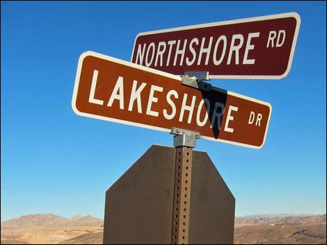 Road signs: Northshore Road at Lakeshore Drive |
Overview Northshore Road is the main highway along the northern shore of Lake Mead. The road is paved, well maintained, and suitable for all vehicles, and for the most part, has a posted speed limit of 55 mph. There are 47 miles of Northshore Road inside Lake Mead National Recreation Area, plus about 22 more miles (Hwy 169) to connect with I-15 to the north. Northshore Road connects Las Vegas with Overton, and it provides access to three Wilderness areas (Muddy Mountains, Pinto Valley, and Jimbilnan), many routes and a few trails, numerous dirt roads, Redstone Picnic Area, a full-service marina, primitive and developed campgrounds, and miles and miles of grand scenery. Surprisingly, however, there are few views of Lake Mead, proper. Link to map. |
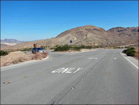
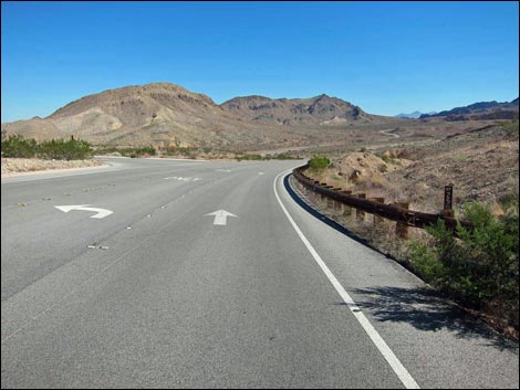
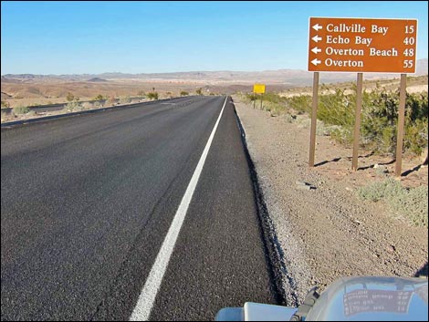 Lakeshore Drive, approaching Northshore Road (view E) |
Watch Out Other than the standard warnings about being in the desert, ...this is a safe drive, but watch the speed limit and highway warning signs as they foretell sharp curves and other potential hazards. Watch too for the many speeding motorcycles, a few bicycles, and an occasional bighorn sheep or desert tortoise. There is no gas along the road. While out, please respect the land and the other people out there, and try to Leave No Trace of your passage. This road runs across wild and remote country, so bring what you need of the 10 Essentials. Getting to the Roadhead This road is located along the northern shore of Lake Mead National Recreation Area, about 30 minutes northeast of Las Vegas. From town, drive out Lake Mead Parkway to the Lake Mead Parkway Entrance Station and pay the fee. The road continues as Lakeshore Road, and at 0.3 miles past the entrance station, Lakeshore Road arrives at an intersection with Northshore Road, on the left. |
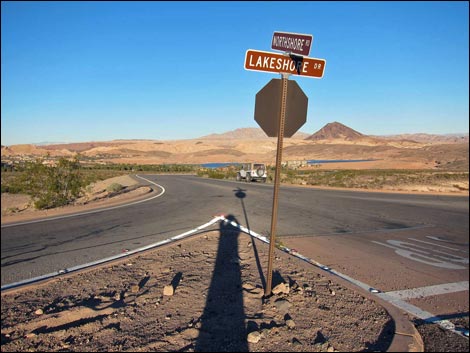
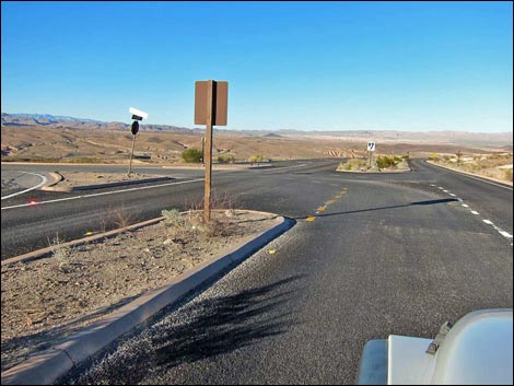 Lakeshore Drive at Northshore Road (view E) |
The Road From Lakeshore Road (Table 1, Site 0654), Northshore Road turns left and heads north. The road runs downhill towards Las Vegas Wash. On the left is Lake Las Vegas - the urban fringe of Las Vegas. Crossing the bridge over Las Vegas Wash, notice the flow; all of this water has been recycled from Las Vegas sewage pipes or is urban runoff. Across the bridge, the road passes Mile Post 01 and starts climbing out of the wash. On a broad, left-leaning curve, the road passes the Wetlands Trailhead (Site 1497), on the right. The highway continues up the hill to a crest with nice views north towards Lava Butte and Frenchman Mountain. Running down the other side of the highpoint, the road passes Mile Post 02 on a curve to the right. The road crosses a broad wash with a paved parking area on the left. Hikers use this parking area to access routes towards interesting canyons and Lava Butte. |
 Mile Post 00 |
The road crosses another wash and climbs gradually to Mile Post 03. Shortly, the road passes an intersection with Lake Mead Blvd (Site 0653), on the left. This road runs back into North Las Vegas. Northshore Road winds up into low hills and arrives at Mile Post 04, which is at a large, paved parking area on the right. Hikers sometimes meet here and carpool farther out. Continuing, the road passes Gypsum Wash Road (Site 1495), a dirt road on the right. Gypsum Wash Road leads south to primitive camping areas and used to provide fisherman access to the lake, but the lake is too low now. Northshore Road continues east as it drops into and crosses a broad wash. Climbing out the other side, the road passes another paved parking area and Mile Post 05. Continuing over low hills, the road passes Government Wash Road (Site 1167), a paved road on the right. Government Wash Road was closed in 2024, probably for a decade as plan are made for rehabilitation. |
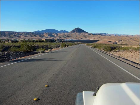 Northshore Road -- Start of an adventure! |
Northshore Road crosses Government Wash where two paved pullouts on the right provide safe parking for flower watching during the spring. The road climbs out the other side of the wash to cross the next low ridge and pass Mile Post 06. Traversing broad, gentle terrain, the highway sweeps to the left then back to the right and passes the turnoff to a scenic viewpoint (Site 1496), on the right. The views were somewhat better when the lake was high, but this place isn't overly exciting now. The highway drops into another broad wash that sometimes supports wonderful wildflowers in the spring. The cement shoulders of the highway provide safe parking. Across the wash, the road climbs to Mile Post 07. Continuing across broad, gentle terrain, the highway sweeps side to side (rarely is this roadway long and straight) to Mile Post 08. |
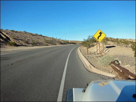 Mile Post 01 |
In a few moments, the highway passes Eight-Mile Road (Site 1165), on the right. Eight-Mile Road was closed in 2024, probably for a decade as plan are made for rehabilitation. Continuing across the last of the broad, gentle terrain, Northshore Road passes Boxcar Cove Road (Site 1161), another dirt road to the right. Boxcar Cove Road runs south then splits, the left fork is Boxcar Cove Road, while the right fork is Crawdad Cove Road. As before, these roads lead to primitive camping and fisherman access. Just beyond the turnoff to Boxcar Cove Road, the highway passes Mile Post 09 and starts to wind north along the base of Black Mesa, the remnants of an ancient lava flow. Winding among volcanic ridges, the road passes Mile Post 10, and in another half-mile, passes 10.5-mile Trailhead (Site 1364), a paved parking area on the left. This is one of two good places to start hiking up Black Mesa. |
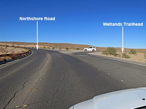 Northshore Road approaching turnoff to Wetlands Trail (view N) |
Curving east and passing the north side of Black Mesa, the highway passes Mile Post 11 and quickly arrives at Callville Bay Road (Site 1409), on the right. Callville Bay Road is paved and runs south to Callville Bay Campground and Callville Bay Marina. Continuing east, this is where Northshore Road starts to feel wild and remote, although it remains a well-maintained highway. The road climbs gently towards a highpoint and passes Mile Post 12 and another scenic viewpoint on the right, but the gate here has been locked for years. Motivated visitors can walk the short distance to the hilltop viewpoint. Crossing over the ridge, the road descends rapidly into the next wash system. Near the bottom of the hill, the highway passes West End Wash South Road (Site 1410), on the right. This dirt road runs down the West End Wash and requires a 4WD vehicle after about 0.4 miles because of deep, soft sand. |
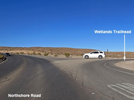 Northshore Road at turnoff to Wetlands Trail (view N) |
At the edge of West End Wash, the highway passes Mile Post 13. Climbing out of the wash, the highway quickly passes West End Wash North Road (Site 1412), on the left. West End Wash North Road leads to a network of dirt roads that seems to run forever and provides access to BLM lands with primitive camping and hiking opportunities. Climbing out of West End Wash, the road enters an area of red sandstone and colorful mudstones overlain by black volcanic rock, and a large paved scenic overlook (Site 1497), on the left, provides a safe place to stop and admire the scenery. The highway descends the next hillside to pass Mile Post 14 as it runs through an area of colorful sedimentary rocks and muds. Just past the mile post, paved pullouts on both sides of the road provide safe places to stop and enjoy the scenery. The road climbs though a colorful area to Mile Post 15 and another paved pullout on the right that provides hiker access to Ejection Ridge south of the highway and views of Hamblin Mountain to the east. |
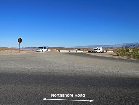 Wetlands Trailhead parking (view E from Northshore Road) |
Beyond Mile Post 15, the roadway descends to cross Lovell Wash and then Callville Wash. Just across Callville Wash, the highway passes Callville Wash South Road (Site 1241), a dirt road on the right. Callville Wash South Road runs south to the edge of Lake Mead. This road starts on firm ground, but soon drops into a sand-and-gravel wash that requires a 4WD vehicle. In only a few yards, the highway arrives at Mile Post 16 and Callville Wash North Road (Site 0782), a dirt road on the left. The beginning of this side road is a popular trailhead for the hike into Anniversary Narrows and the Muddy Mountains Wilderness Area. Continuing up Callville Wash North Road, the road leads northeast into the Bowl of Fire area (BOF Southwest and BOF North), but requires a 4WD vehicle. A short distance up Callville Wash North Road, Anniversary Mine Road forks off to the left and leads to the very popular Anniversary Narrows. This road is suitable for high-clearance vehicles. Continuing east, the highway climbs the gentle hillside to pass Mile Post 17 and Mile Post 18. By now, the highway has passed beyond the colorful sedimentary rocks, but it is now getting into an area of majestic limestone mountains. |
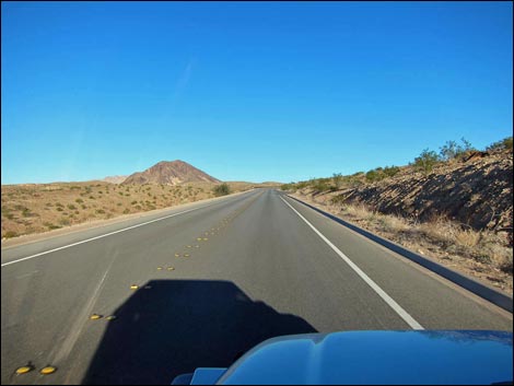 Roadway and Lava Butte (view N) |
Shortly past Mile Post 18, the road bends to the right and passes Mile 18.2 Trailhead (Site 0804), a paved pullout on the left. If stopping here, turn left across oncoming traffic carefully because the sighting distance is surprisingly short. This trailhead provides access northward into the Southwest Bowl of Fire and the Muddy Mountains Wilderness Area, and southward into the Hamblin Peak area in the Pinto Valley Wilderness Area. Continuing east on Northshore Road, the road climbs along the base of Northshore Peak where generations of bighorn sheep created a web of trails across the high steep slopes. The road passes Mile Post 19 and then shortly Mile 19.2 Trailhead (Site 0829), a paved pullout on the left. This trailhead provides access to pretty rough hiking routes on Northshore Peak. Northshore Road winds up into the mountains, passing Mile Post 20, and running towards a highpoint. At the highpoint, the highway passes Northshore Summit Road (Site 0540), a paved road on the left leading into Northshore Summit Trailhead. This trailhead provides vault toilets and access to Northshore Summit Trail to the north and the more adventuresome Northshore Peak to the south in the Pinto Valley Wilderness Area. |
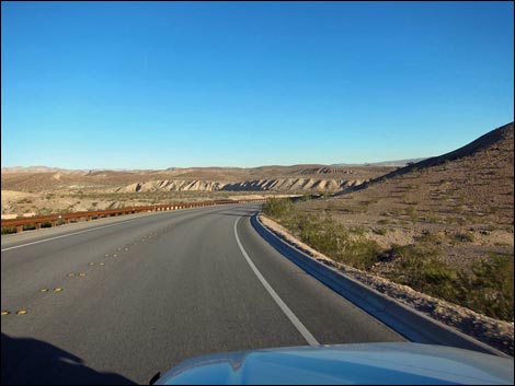 Northshore Road Northshore Road |
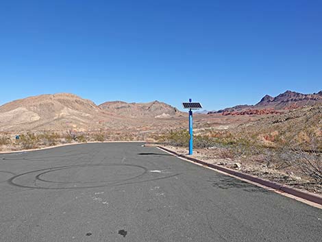
Starting down past the highpoint, views north into Bittersprings Valley become expansive while the highway hugs the base of rugged, limestone Razorback Ridge. The road passes Mile Post 21 and continues along the hillsides to Mile 21.8 Trailhead (Site 1365), a paved pullout on the right. This trailhead provides access to Razorback Wash North. The highway passes Mile Post 22 aiming towards Razorback Ridge, then curves around the end of the ridge and into Mile 22.6 Trailhead, a paved parking area on the right. This trailhead provides access to Razorback Wash South. The highway crosses a broad wash on a gentle curve left and climbs past Mile Post 23 and Mile Post 24, still with grand views out across Bittersprings Valley to the north and rugged limestone ridges in the Pinto Valley Wilderness Area to the south. The road climbs over a saddle, then drops at a fair grade. While rounding a curve to the left, Mile 25 Parking (Site 1505), a large paved parking area, comes into view on the left. Mile Post 25 lies opposite the parking area, and an emergency phone is mounted on a pole inside the parking area. |
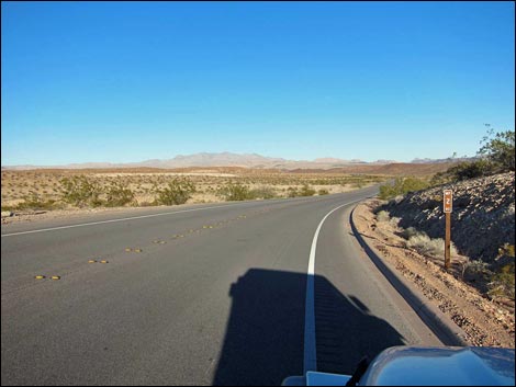 Mile Post 02 |
Beyond Mile 25 Parking, the road continues downhill to cross a couple of washes. Climbing out, on a broad curve to the left, Mile 25.8 Trailhead, another paved parking area, is passed on the left. This trailhead provides access to the Pinto Valley Route (in the Pinto Valley Wilderness Area) and several off-trail routes. Shortly beyond Mile 25.8 Trailhead, the highway passes Bittersprings Road (Site 0656), on the left. The turnoff is obscure, but watch for the road sign. Bittersprings Road provides access to Bitterspring, an interesting place for backcountry birdwatching, the Bittersprings Backcountry Byway, and myriad other backcountry and jeep-road adventures. Continuing, the road runs fairly straight with red sandstone outcrops on the right and Bittersprings Valley on the left. Just past Mile Post 27, the highway arrives at Redstone Picnic Area (Site 1498), on the right. This is a nice picnic area with vault toilets, covered picnic tables, trash cans, and the Redstone Dune Loop Trail. |
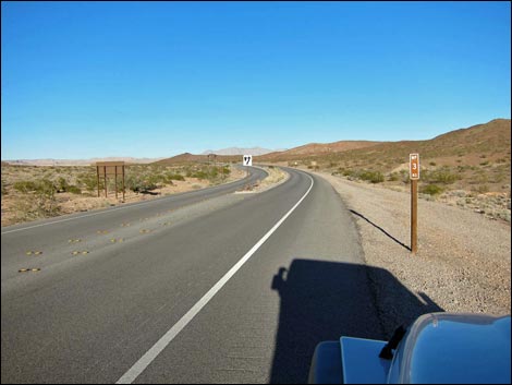 Mile Post 03 |
Beyond Redstone Picnic Area, the road climbs over a low saddle, then begins a long and mostly gradual descent that will end near the far side of Bitter Spring Valley. Traversing the base of limestone ridges, the road passes Mile Post 28 and Mile Post 29. Eventually the ridges run out, and a few yards past Mile Post 30, the highway passes Boathouse Cove Road (Site 0789), on the right. Boathouse Cove Road runs south through a narrow gap between the Pinto Valley and Jimbilnan Wilderness Areas as it winds south to the shore of Lake Mead. The first few miles are suitable in a 2WD-HC vehicle, and this is sufficient to get into the legendary Cleopatra Wash, but most of it is a 4WD road. Continuing downhill and now northward, Northshore Road winds down towards Echo Wash in the bottom of Bittersprings Valley, passing Mile Post 31 and Mile Post 32 along the way. By Mile Post 33, the road runs parallel to Echo Wash, in the gorge on the left, and shortly the highway passes a turnoff to a dirt road (Site 0660) on the left. Here, the other end of Bittersprings Road emerges from the desert, while Echo Wash Road continues down the wash, almost all the way to the lake. |
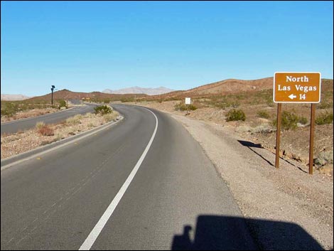 Highway sign: North Las Vegas 14 miles via Lake Mead Blvd |
Climbing out of Echo Wash, Northshore Road continues northward, winding back and forth across open, gently rolling terrain as it passes Mile Post 34 and Mile Post 35. The highway then arrives at Echo Bay Road (Site 0790), on the right. This paved road leads 5 miles to Echo Bay Marina, a ranger station, and a developed campground. By this time, the highway is running below high peaks of the Muddy Mountains (but not in the wilderness area) on the left, with some lake views on the right. Continuing north past Mile Post 36, the road seems preparing to crash into the Muddy Mountains when it passes Mile Post 37 and bends quickly to the right to descend a steep-walled canyon. By Mile Post 38, the road is back on desert flats heading northeast as it runs fast and straight past Mile Post 39. Approaching Mile Post 40, the highway crosses a wet wash with green vegetation and signs announcing Rogers Spring come into view. Just past Mile Post 40, Northshore Road passes Rogers Spring Road (Site 1499), on the left. Rogers Spring is a nice picnic area with covered tables, vault toilets, and a big spring pond full of warm water, small fish, and turtles. |
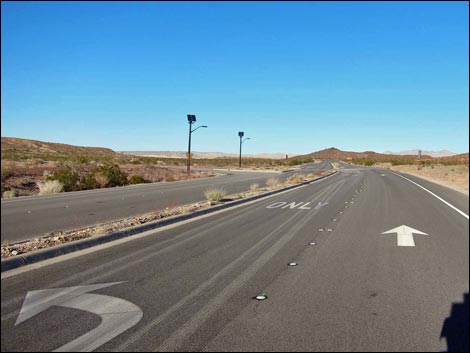 Approaching turn-off to Lake Mead Blvd |
Continuing north, the road drops to cross a wash, then climbs towards the next highpoint and Mile Post 41. Shortly, the road arrives at Blue Point Spring Picnic Area (Site 1500), on the left. Blue Point Spring is another warm-water spring, but here there is no spring pool, only a narrow creek and a marsh. Blue Point has one covered picnic table, but no other amenities, making for a nice place to birdwatch in this arid land. Descending across the open landscape from Blue Point Spring, Northshore Road passes Stewarts Point Road (Site 1501), on the right. Stewarts Point Road leads to a housing area and the fishing area of Stewarts Point. Northshore Road continues north across wide open country with red sandstone rock appearing on the left and the Overton Arm of Lake Mead on the right (at least for a while longer). The road passes Mile Post 42 on a downhill run towards a broad wash, then climbs out the other site and Passes Mile Post 43. |
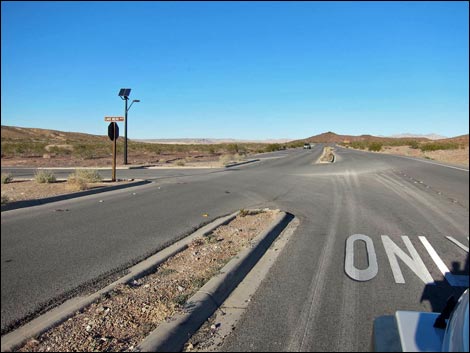 turn-off to Las Vegas via Lake Mead Blvd |
Mile Post 44 is passed in open country, and Mile Post 45 is passed on a sweeping bend to the left. On the outside of the bend, the highway passes Overton Beach Road (Site 0791), on the right. Overton Beach is high and dry now, and the area is closed to vehicles. Continuing around the broad curve to the left, Northshore Road now runs west and before long brilliant red sandstone bluffs come into view ahead, bluffs that are in Valley of Fire State Park. Rounding the next curve to the right, the North Entrance Station comes into view. Just short of the entrance station, the highway passes Mile Post 46 and St. Thomas Road (Site 1407), on the right. The graded dirt St. Thomas Road runs northeast to bluffs overlooking what once was the lake. The town of St. Thomas, a pioneer town flooded by the lake, is now again above water and hikers can wander out to see the historic foundations of the town. |
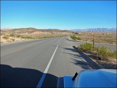 Mile Post 04 |
A few yards beyond St. Thomas Road, the highway arrives at the North Entrance Station. After stopping to show an entrance pass (if necessary), the road immediately passes Valley of Fire Road (Site 0792), on the left. Valley of Fire Road (Highway 169) runs west through the state park (with another entrance fee) and out to Interstate-15. Continuing north, Northshore Road technically becomes Highway 169, as it runs out across a broad, rolling landscape. The road passes Mile Post 47 and continues to the north boundary of the National Recreation Area, which is marked by a boundary sign (Site 1502). Northshore Road ends here, but the driving adventure continues north on Highway 169. The road winds among hills and passes Sand Mine Road (Site 1504), on the right. This dirt road runs down to what once was the lakeshore (and is inside the NPS area). Continuing north, Northshore Road curves to the right and begins to descend the hillsides. In this area, the road runs through a primitive camping area that is very popular with snowbirds (campsites on both sides of the highway). |
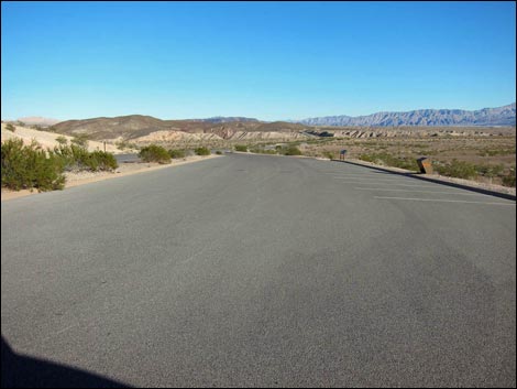 Mile Post 04 parking lot |
The road drops steeply past the hilltop campsites and drops into the Overton Valley along the Muddy River. The Overton Wildlife Management Area, another good area for birdwatching, occupies several square miles of river-bottom lands on the right, and before long, the road passes the Lost City Museum, on the left. The highway then enters urban Overton, a quiet rural town with all services and amenities. Highway 169 continues north, bending sharply around the edges of farm fields, and eventually ends at Interstate-15. Las Vegas lies to the west from here. |
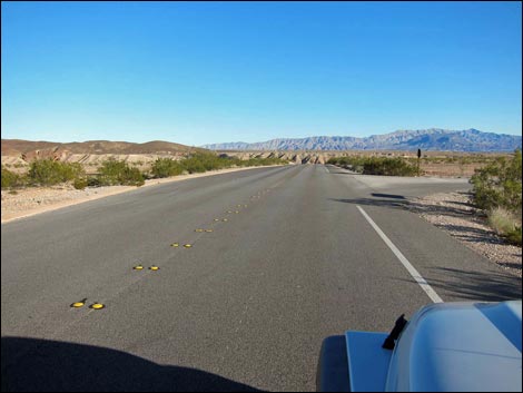 Northshore Road at Gypsum Wash Road |
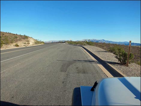 Mile Post 05; paved parking area |
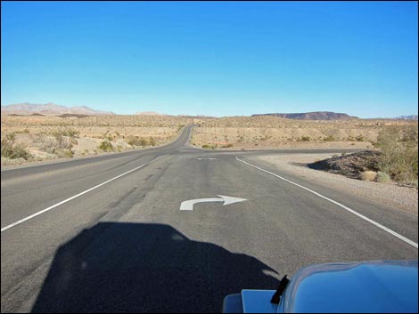 Northshore Road at Government Wash Road (view E) |
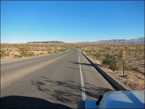 Mile Post 06 |
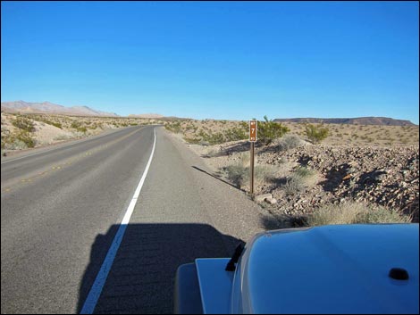 Mile Post 07 |
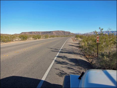 Mile Post 08 |
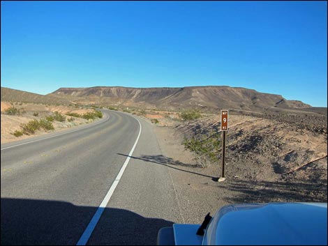 Mile Post 09 and Black Mesa |
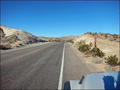 Mile Post 10 |
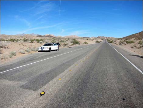 Mile 10.5 Trailhead |
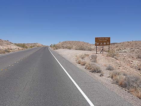 Northshore Road approaching Callville Bay Road (view E) |
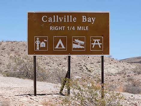 Callville Bay Road sign (view E) |
 Mile Post 11 |
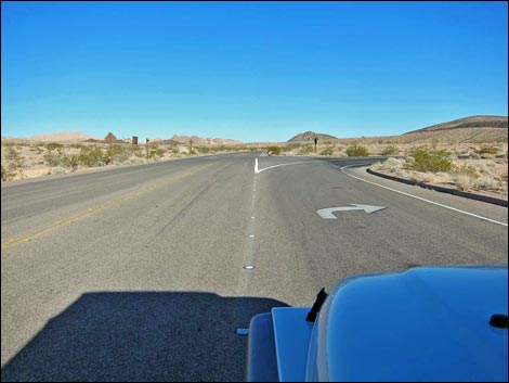 Northshore Road at Callville Bay Road (view E) |
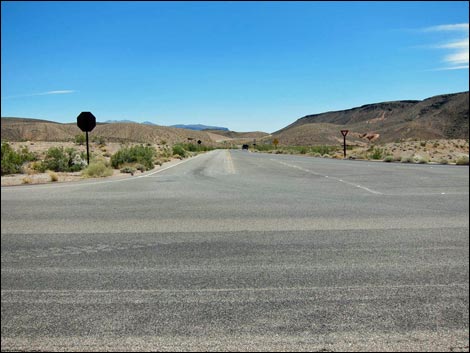 Callville Bay Road (view S from Northshore Road) |
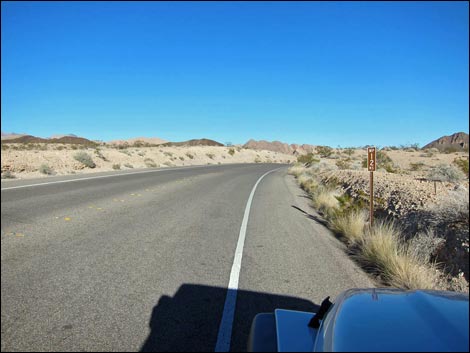 Mile Post 12 |
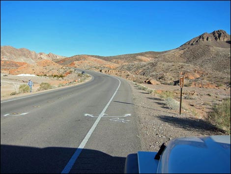 Mile Post 13 |
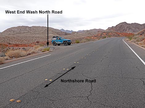 Miles 13.3 Northshore Rd at West End Wash North Road (view NE) |
 West End Wash North Road (view N from Northshore Road) |
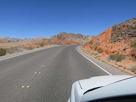 Red sandstone hills with black volcanic stones on the surface |
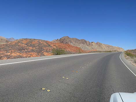 Red sandstone hills with black volcanic stones on the surface |
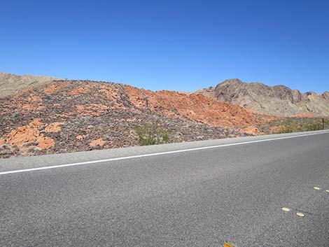 Red sandstone hills with black volcanic stones on the surface |
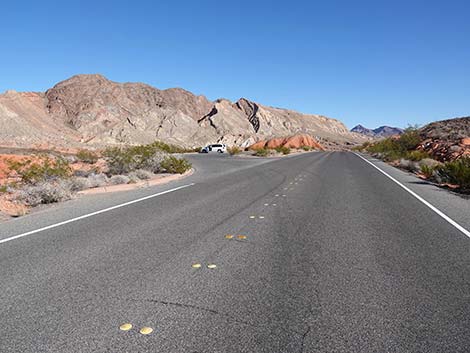 Approaching Scenic Pullout (view E) |
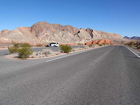 Vehicle at the Scenic Pullout (view E) |
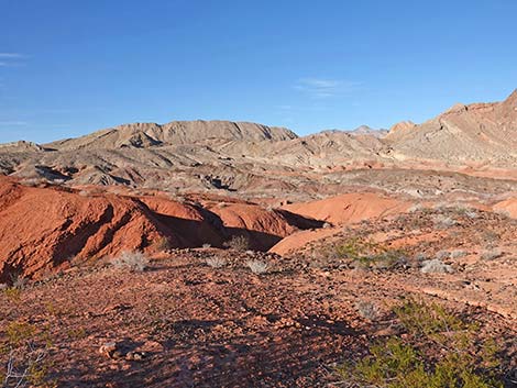 Big view from Scenic Pullout (view N) |
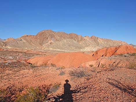 |
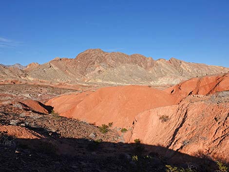 |
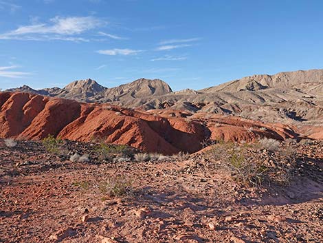 Big view from Scenic Pullout (view N) |
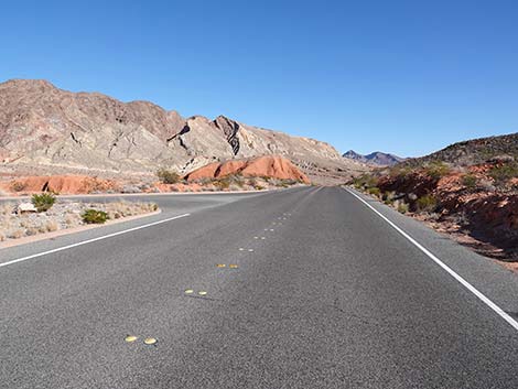 Northshore Road continuing past the Scenic Pullout (view E) |
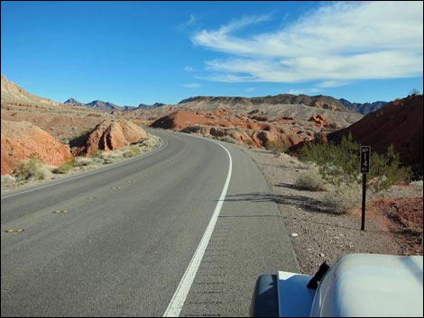 Mile Post 14 |
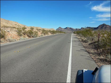 Mile Post 15 |
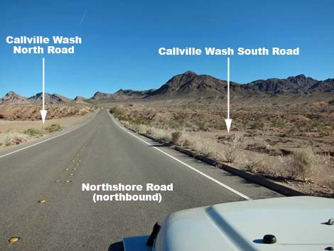 Northshore Road approaching Callville Wash South Road (view E) |
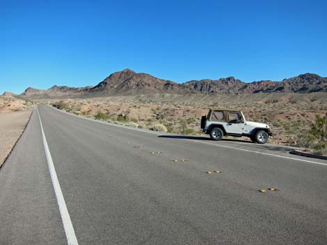 Northshore Road at Callville Wash South Road (view E) |
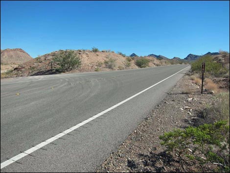 Mile Post 16 and Callville Wash North Road (view E) |
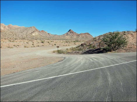 Mile Post 16; Northshore Rd at Callville Wash North Road (view NE) |
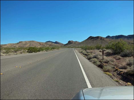 Mile Post 17 |
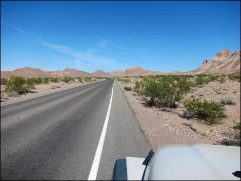 Mile Post 18 |
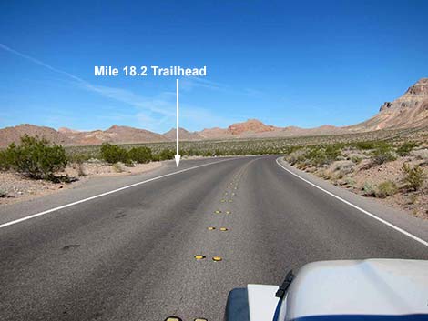 Northshore Rd approaching Mile 18.2 Trailhead (view E) |
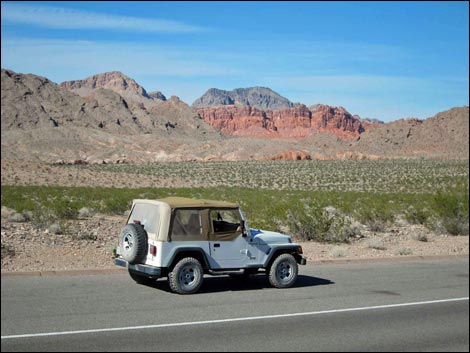 Mile 18.2 Trailhead and Bowl of Fire SW (view N) |
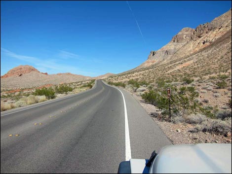 Mile Post 19 |
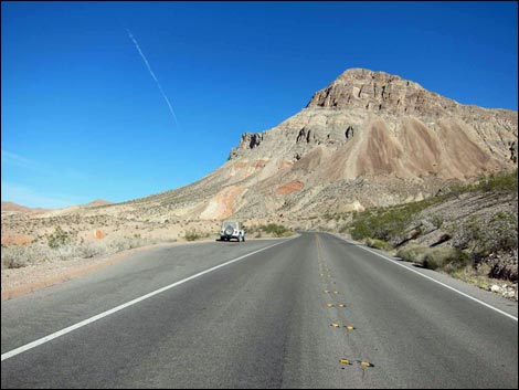 Mile 19.2 Trailhead parking below Northshore Peak |
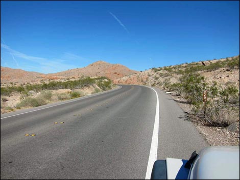 Mile Post 20 |
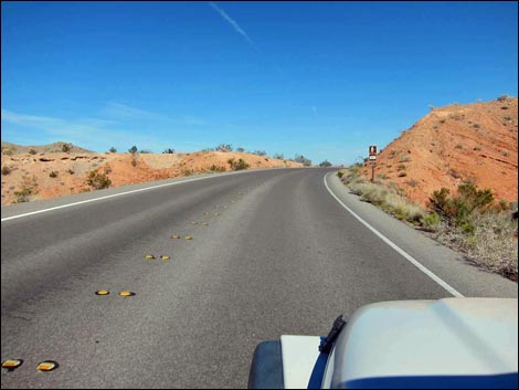 Approaching Northshore Summit parking, on the left |
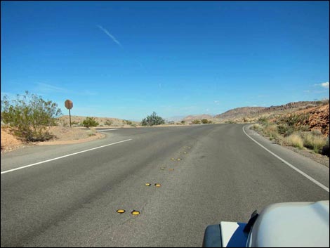 Northshore Road at Northshore Summit Road (view E) |
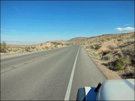 Mile Post 21 |
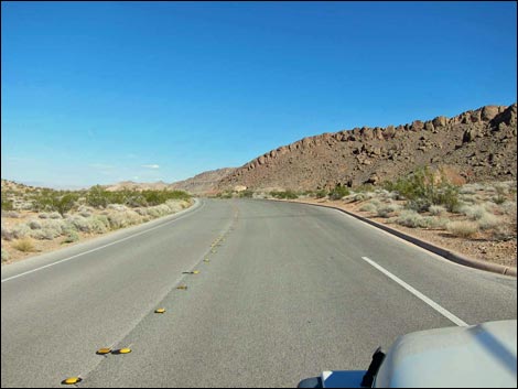 Northshore Road at Mile 21.8 Trailhead Parking (view E) |
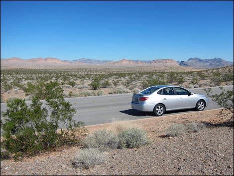 View northeast across Bitter Spring Valley (view NE) |
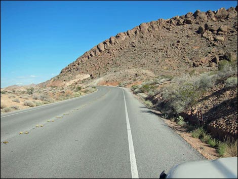 Mile Post 22 and Razorback Ridge |
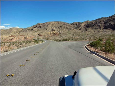 Northshore Road at Mile 22.6 Trailhead Parking |
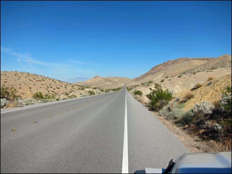 Mile Post 23 |
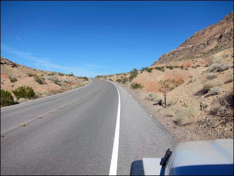 Mile Post 24 |
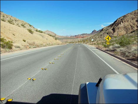 Approaching Mile Post 25 parking area |
 Mile Post 25 parking area |
 Mile Post 25 |
 Emergency Call Box at Mile Post 25 parking area |
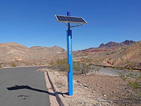 Emergency Call Box at Mile Post 25 parking area |
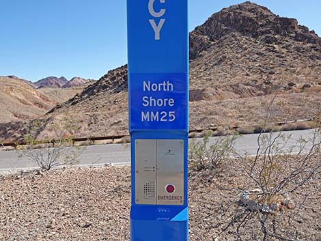 Emergency Call Box at Mile Post 25 parking area |
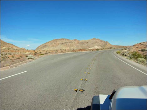 Northshore Road at Mile 25.8 Trailhead parking (view NE) |
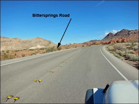 Northshore Road approaching Bittersprings Road (view E) |
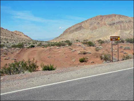 Bittersprings Road (view NE from Northshore Road) |
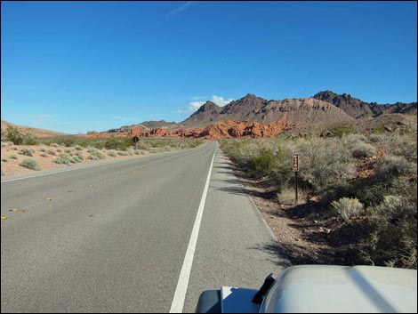 Mile Post 26 |
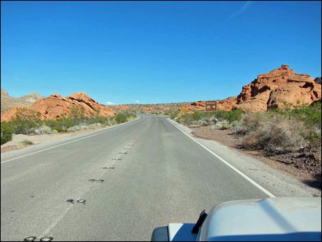 Northshore Road approaching Redstone Picnic Area, on the right |
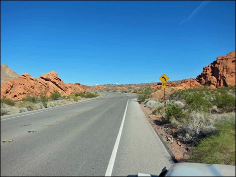 Mile Post 27 |
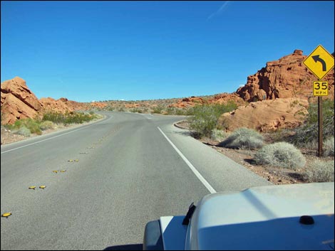 Northshore Road at Redstone Picnic Area |
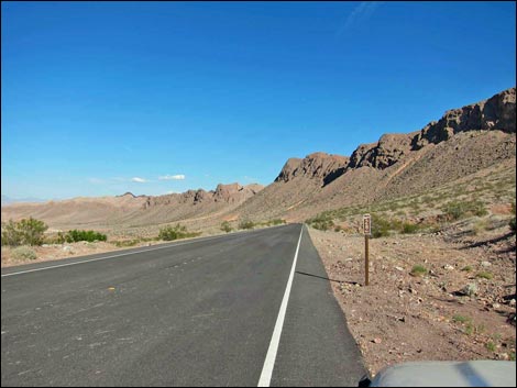 Mile Post 28 |
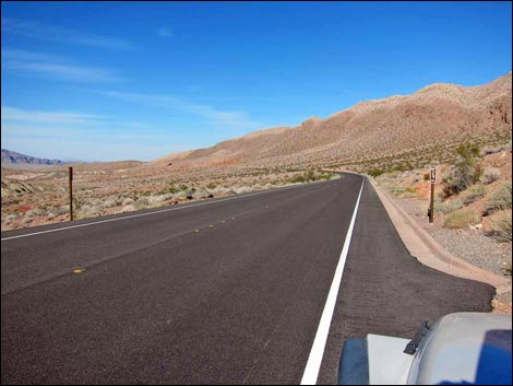 Mile Post 29 |
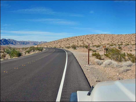 Northshore Road at Mile Post 30 and Boathouse Cove Rd (view N) |
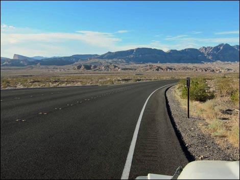 Mile Post 31 |
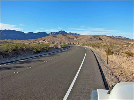 Mile Post 32 |
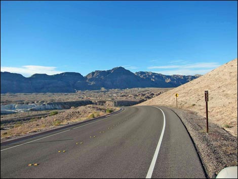 Mile Post 33 |
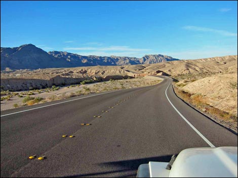 Descending into Echo Wash |
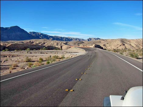 Northshore Road at Bittersprings Road & Echo Wash Road (view N) |
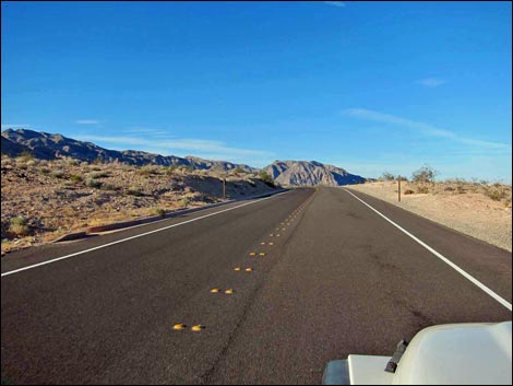 Mile Post 34 |
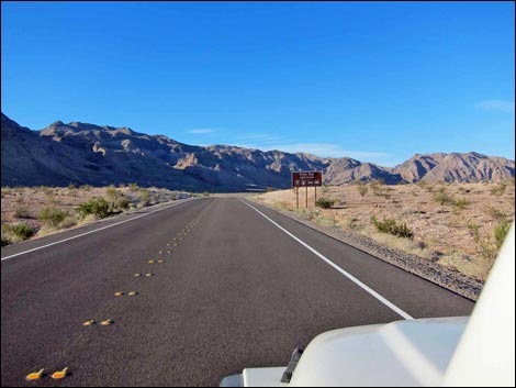 Approaching Echo Bay Road (view N) |
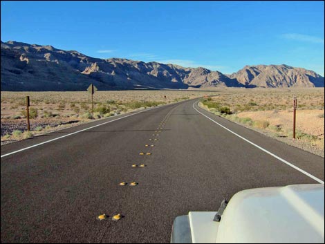 Mile Post 35 |
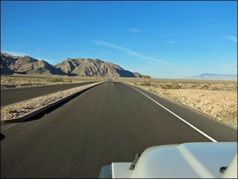 Approaching Echo Bay Road (view N) |
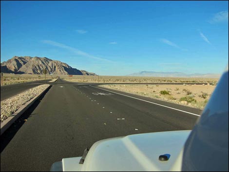 Northshore Road at Echo Bay Road (view N) |
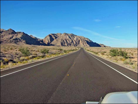 Mile Post 36 and Muddy Mountains (view N) |
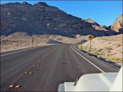 Mile Post 37 and Muddy Mountains (view N) |
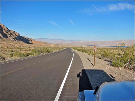 Mile Post 38; Overton Arm of Lake Mead in sight (view NE) |
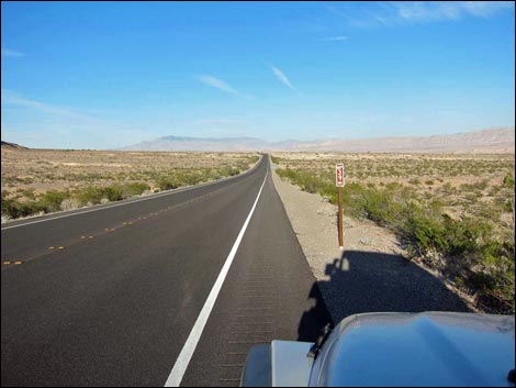 Mile Post 39 |
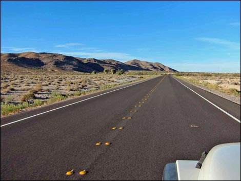 Roadway |
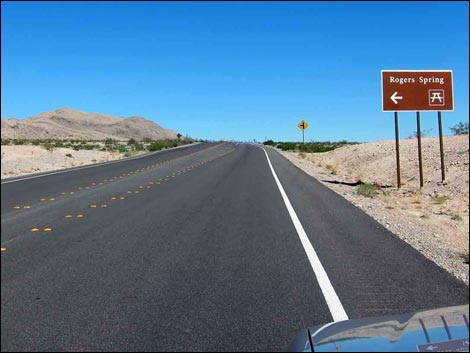 Approaching turnoff to Rogers Spring |
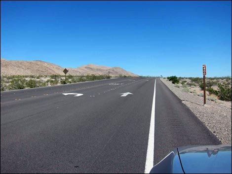 Mile Post 40 |
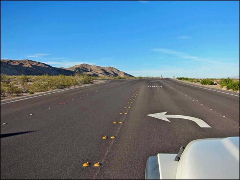 Northshore Road at Rogers Spring Road (view NE) |
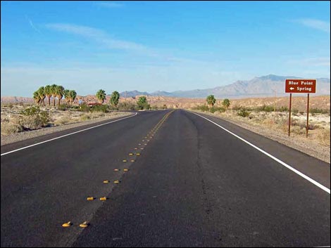 Approaching Blue Point Spring Parking, on the left |
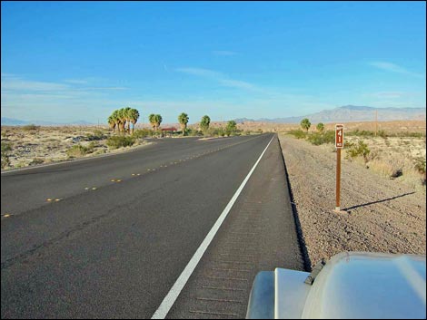 Mile Post 41 |
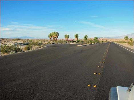 Northshore Road at Blue Point Spring Parking (view NE) |
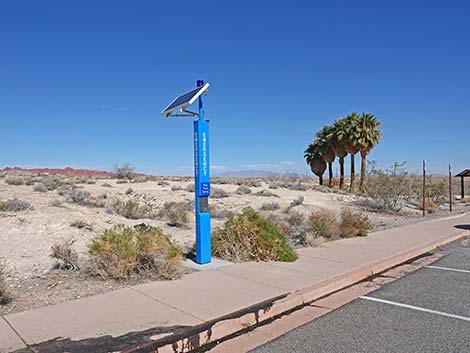 Emergency Call Box at Blue Point Spring (view N) |
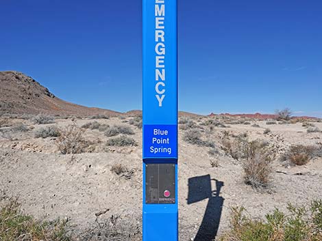 Emergency Call Box at Blue Point Spring (view NW) |
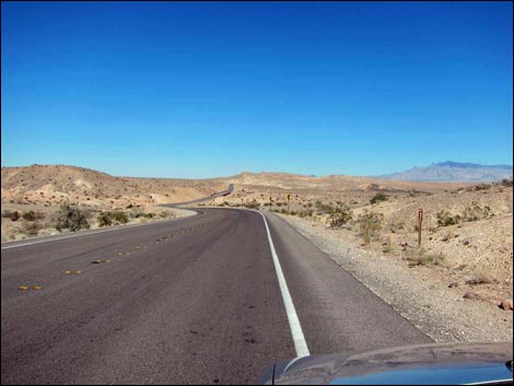 Mile Post 42 |
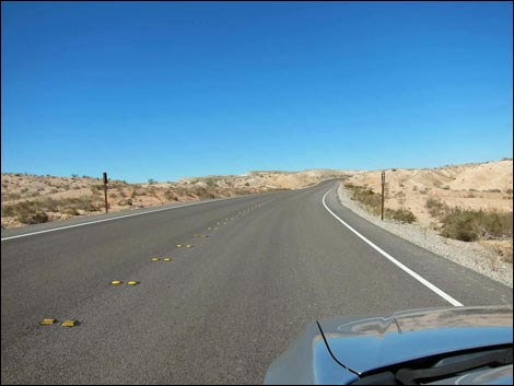 Mile Post 43 |
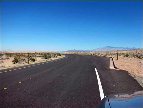 Mile Post 44 |
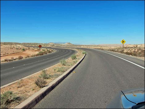 Approaching turnoff to Overton Beach |
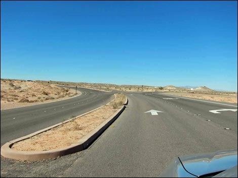 Approaching turnoff to Overton Beach |
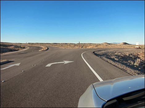 Northshore Rd at Overton Beach Rd (this road is closed) |
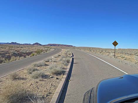 Northshore Rd continuing pat Overton Beach Road (view N) |
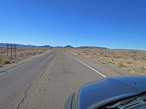 Passing old signs and heading into the desert (view NW) |
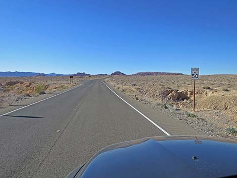 Reminder: 50 mph speed limit (view NW) |
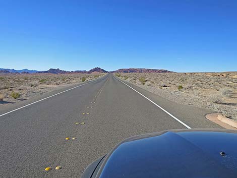 Northshore Road continuing across the desert (view NW) |
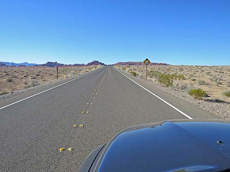 Sign: reduced speed (35 mph) ahead (view NW) |
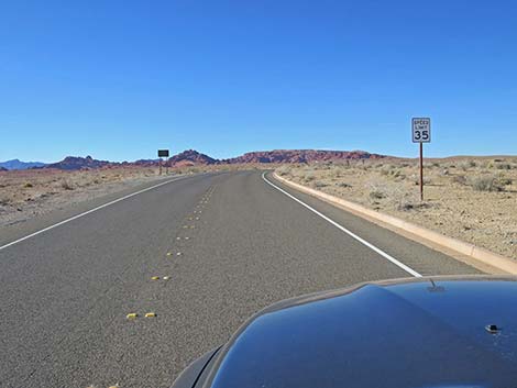 Northshore Rd entering 35 mph speed zone (view NW) |
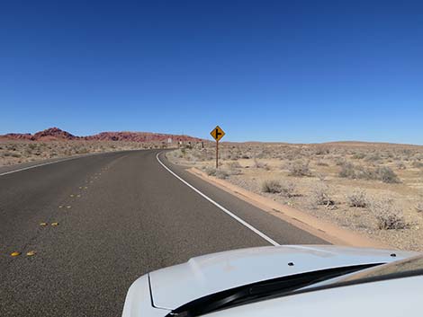 Northshore Rd approaching side-road to the right (view NW) |
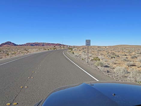 Sign: Reduced speed ahead (view NW) |
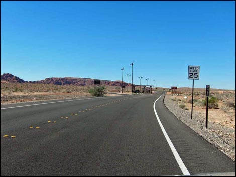 Mile Post 46 and 25 mph zone sign |
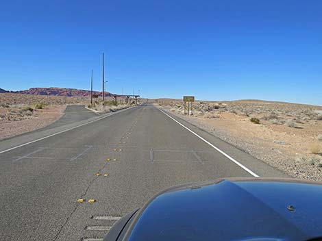 Approaching Entrance Station and St. Thomas Road sign (view N) |
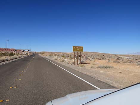 Sign: St. Thomas to the right (view N) |
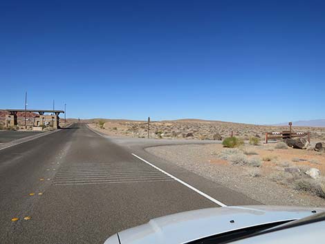 Northshore Rd approaching St. Thomas Cove Road (view N) |
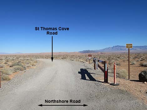 St Thomas Cove Road (view NW from Northshore Road) |
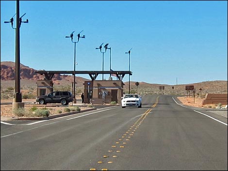 Northshore Road at North Entrance Station (view NW) |
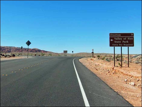 Approaching turnoff to Valley of Fire State Park |
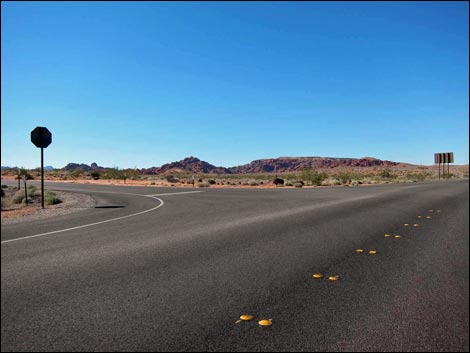 Northshore Road at Valley of Fire Road |
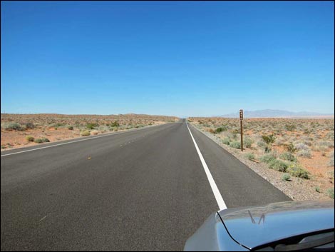 Mile Post 47 |
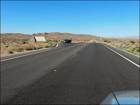 Northshore Road at Lake Mead North Boundary sign (view N) |
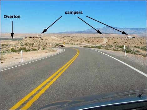 BLM camp area outside the National Recreation Area (view NE) |
Table 1. Highway Coordinates Based on GPS Data (NAD27; UTM Zone 11S). Download Roadway GPS Waypoints (*.gpx) file.
| Site | Location | UTM Easting | UTM Northing | Latitude (N) | Longitude (W) | Elevation (ft) | Verified |
|---|---|---|---|---|---|---|---|
| 0540 | Northshore Rd at N-shore Summit Rd | 713938 | 4011532 | 36.22681 | 114.61971 | 2,391 | Yes |
| 0653 | Northshore Rd at Lake Mead Blvd | 690025 | 4001715 | 36.14336 | 114.88797 | 1,390 | Yes |
| 0654 | Lakeshore Rd at Northshore Rd | 689139 | 3997939 | 36.10951 | 114.89872 | 1,545 | Yes |
| 0656 | Northshore Rd at Bitterspring Rd | 721481 | 4013565 | 36.24343 | 114.53528 | 2,139 | Yes |
| 0660 | Northshore Rd at Echo Wash Rd | 725514 | 4020768 | 36.30737 | 114.48835 | 1,444 | Yes |
| 0782 | Northshore Rd at Callville Wash North | 708039 | 4008021 | 36.19647 | 114.68622 | 1,673 | Yes |
| 0789 | Northshore Rd at Boathouse Cove Rd | 726251 | 4015974 | 36.26402 | 114.48155 | 1,909 | Yes |
| 0790 | Northshore Rd at Echo Bay Rd | 725261 | 4023942 | 36.33602 | 114.49025 | 1,703 | Yes |
| 0791 | Northshore Rd at Overton Beach Rd | 732303 | 4035348 | 36.43707 | 114.40846 | 1,371 | Yes |
| 0792 | Northshore Rd at Valley of Fire Rd | 730657 | 4035710 | 36.44073 | 114.42670 | 1,539 | Yes |
| 0804 | Northshore Rd at Mile 18.2 Trailhead | 710770 | 4009701 | 36.21101 | 114.65542 | 1,909 | Yes |
| 0829 | Northshore Rd at Mile 19.2 Trailhead | 712394 | 4010266 | 36.21575 | 114.63722 | 2,141 | Yes |
| 1161 | Northshore Rd at Boxcar-Crawdad Rd | 698550 | 4003410 | 36.15693 | 114.79285 | 1,491 | Yes |
| 1165 | Northshore Rd at 8-Mile Rd | 697254 | 4003447 | 36.15752 | 114.80724 | 1,516 | Yes |
| 1167 | Northshore Rd at Govt. Wash Rd | 693613 | 4002268 | 36.14764 | 114.84798 | 1,332 | Yes |
| 1241 | Northshore Rd at Callville S Rd | 707912 | 4007997 | 36.19629 | 114.68764 | 1,657 | Yes |
| 1364 | Northshore Rd at Mile 10.5 Trailhead | 700102 | 4005302 | 36.17365 | 114.77513 | 1,631 | Yes |
| 1365 | Northshore Rd at Mile 21.8 Trailhead | 715827 | 4011775 | 36.22858 | 114.59864 | 2,199 | Yes |
| 1366 | Northshore Rd at Mile 22.6 Trailhead | 716965 | 4011724 | 36.22787 | 114.58600 | 2,186 | Yes |
| 1407 | Northshore Rd at St Thomas Cove Rd | 730811 | 4035619 | 36.43987 | 114.42500 | 1,513 | GPS |
| 1409 | Northshore Rd at Callville Bay Rd | 700946 | 4005773 | 36.17772 | 114.76563 | 1,736 | GPS |
| 1410 | Northshore Rd at West End South Rd | 702911 | 4006767 | 36.18627 | 114.74353 | 1,737 | GPS |
| 1412 | Northshore Rd at West End North Rd | 703760 | 4007354 | 36.19137 | 114.73396 | 1,743 | GPS |
| 1494 | Northshore Rd at Wetlands Trailhead | 688734 | 3999678 | 36.12526 | 114.90279 | 1,368 | GPS |
| 1495 | Northshore Rd at Gypsum Wash Rd | 691557 | 4001966 | 36.14532 | 114.87089 | 1,363 | GPS |
| 1496 | Northshore Rd at Scenic View | 694952 | 4002891 | 36.15298 | 114.83295 | 1,385 | GPS |
| 1497 | Northshore Rd at Viewpoint | 704196 | 4007557 | 36.19311 | 114.72905 | 1,770 | GPS |
| 1498 | Northshore Rd at Redstone Picnic Area | 723254 | 4013536 | 36.24275 | 114.51558 | 2,216 | GPS |
| 1499 | Northshore Rd at Rogers Road | 729605 | 4028660 | 36.37748 | 114.44051 | 1,578 | GPS |
| 1500 | Northshore Rd at Blue Point Spring | 730632 | 4029970 | 36.38904 | 114.42869 | 1,532 | GPS |
| 1501 | Northshore Rd at Stewarts Point Rd | 731020 | 4030597 | 36.39460 | 114.42418 | 1,480 | GPS |
| 1502 | Northshore Rd at Fire Cove Rd | 731652 | 4032051 | 36.40753 | 114.41669 | 1,417 | GPS |
| 1503 | Northshore Rd at North Boundary | 729698 | 4037963 | 36.46125 | 114.43672 | 1,614 | GPS |
| 1504 | Northshore Rd at Sand Mine Rd | 728688 | 4038955 | 36.47043 | 114.44768 | 1,657 | GPS |
| 1505 | Northshore Rd at Mile 25 Parking | 720191 | 4013365 | 36.24192 | 114.54968 | 2,159 | GPS |
| Backroads Around Lake Mead | Hiking Around Las Vegas | Glossary | Copyright, Conditions, Disclaimer | Home |