
Hiking Around Las Vegas, Mojave National Preserve

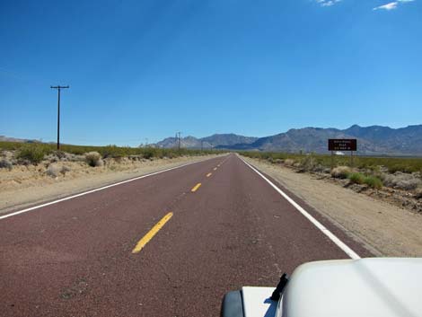 Kelbaker Road approaching Kelso Dunes directional sign (view S) |
Overview Kelso Dunes Road is located in the south-central part of Mojave National Preserve and provides access to the Kelso Dunes trailhead and several primitive campsites. The road was chip-sealed (a hard surface, but not exactly paved) years ago, but after many washouts, it is now mostly graded gravel with bits of old pavement. The road usually is pot-holed and washboarded, but under normal conditions, it should be fine in a carefully driven sedan. Kelso Dunes Road traverses open desert in the Creosote-Bursage Flats habitat zone, and as such is carpeted mostly with Creosote Bush and a few other shrub species, so the vistas are long and nothing blocks the view. Link to map. |
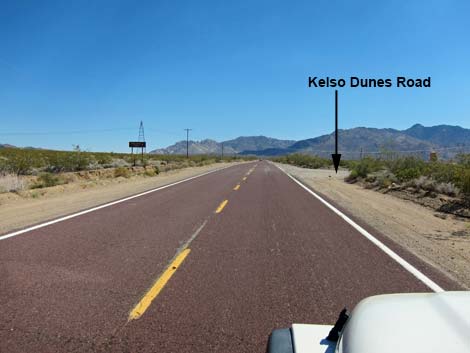 Kelbaker Road approaching Kelso Dunes Road (view S) |
Watch Out Other than the standard warnings about the desert, ... Kelso Dunes Road can be a bit rough from the potholes and washboards, but it should be passable in a carefully driven sedan. Use your own good judgment about the road conditions, as the road is subject to washouts. While out in the desert, please respect the land and the other people out there, and try to Leave No Trace of your passage. Also, the area is remote, so be sure to bring the 10 Essentials. |
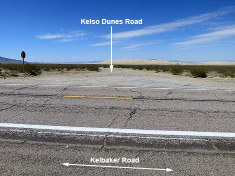 Kelso Dunes Road (view W from Kelbaker Road) |
Getting to the Road Kelso Dunes Road is located in Mojave National Preserve, about 1-3/4 hours south of Las Vegas. From town, drive out to the Kelso Depot Visitor Center in Kelso. In Kelso, turn left onto Kelbaker Road, drive south across the railroad tracks, and continue towards Interstate-40 for 7.8 miles to Kelso Dunes Road on the right. Highway signs announce the turn. The road is just before several tin buildings that can be seen from miles away. Turn right onto Kelso Dunes Road. |
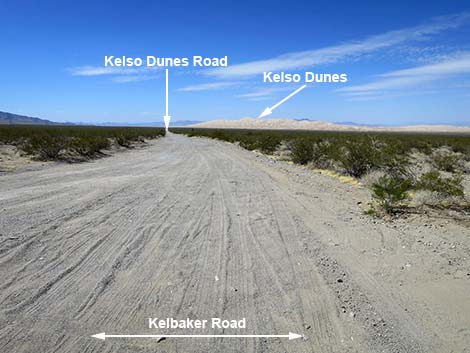 Kelso Dunes Road departing Kelbaker Road (view W) |
The Road From Kelbaker Road (Table 1, Site 0838), Kelso Dunes Road runs generally straight and west, aiming towards the south side of the Kelso dune-field. At about 2.5 miles out, the road bends a bit to the left, and shortly passes an overflow parking area on the right. Shortly, the road arrives at the main parking area, on the right, with vault toilets and information signs (2.9 miles out; Site 0121). This is the Kelso Dunes Trailhead, which is just southeast of the highest dunes. Continuing west, Kelso Dunes Road (now graded sand) passes a primitive campsite area on the left (3.2 miles out), then bends again , crosses a sometimes sandy wash, and comes to a 3-way fork (3.8 miles out). The two left forks continue west as Kelso Dunes Road. The right fork curves north towards the sand dunes and quickly arrives at another primitive campsite (4.0 miles out; Site 1991) with several Athel trees that provide the only shade for miles around. |
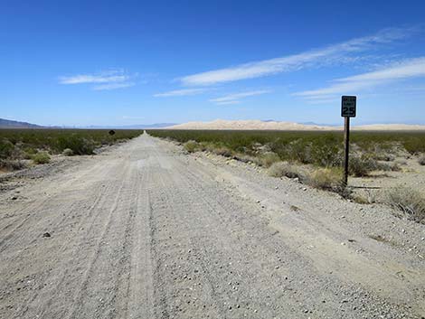 Kelso Dunes Road is posted at 25 mph (view W) |
Continuing north past the Athel Trees, the road ends in about 100 yards at two day-use parking areas and additional campsites. There is deep, soft sand in this area, so without 4WD, be careful driving past the Athel Trees. In my old jeep, I drove the entire road in 2WD, but got stuck in the sand past the Athel Trees and had to shift into 4WD to get out. I had a similar experience a decade later in my 4WD truck. Back on Kelso Dunes Road at the 3-way fork, the two left forks continue west, running parallel, for about 0.3 miles and end at a day-use parking area. About halfway out, a side road cuts north into the camp area, and at the end, another side road cuts north into the camp area. |
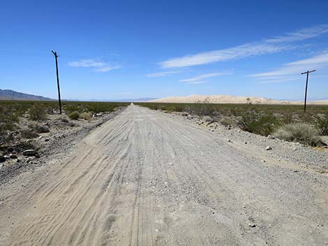 Kelso Dunes Road passing under powerlines (view W) |
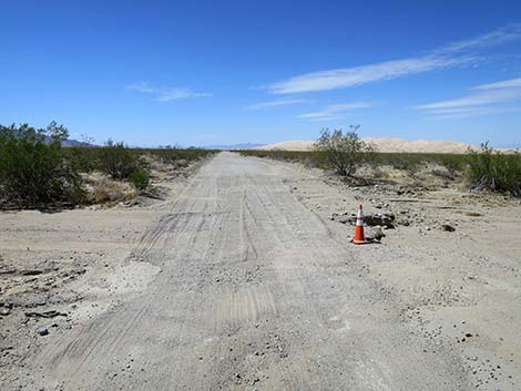 Kelso Dunes Road at a washout (view W) |
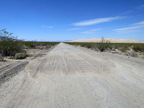 Kelso Dunes Road at a wash-in; hump of gravel on road (view W) |
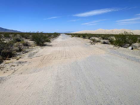 Kelso Dunes Road at a wash-in; hump of gravel on road (view W) |
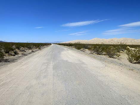 Kelso Dunes Road can be good (view W) |
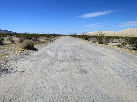 Kelso Dunes Road at potholes and washboards (view W) |
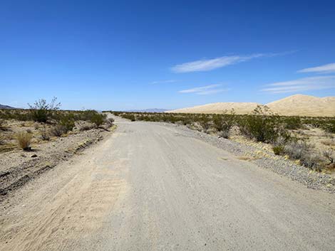 Kelso Dunes Road can be good (view W) |
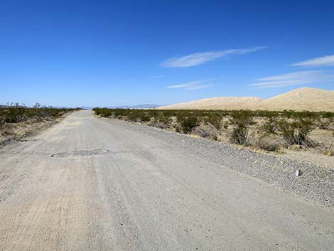 Kelso Dunes Road at a pothole (view W) |
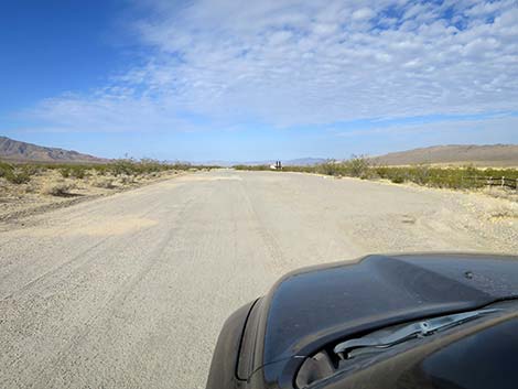 Kelso Dunes Road at overflow parking area (view W) |
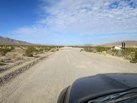 Kelso Dunes Road approaching outhouse and main parking (view W) |
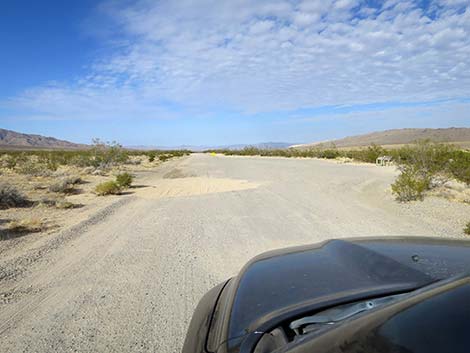 Kelso Dunes Road approaching main parking area (view W) |
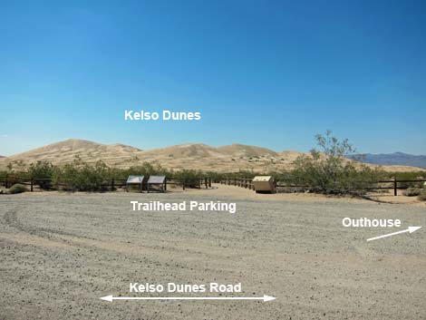 Kelso Dunes Trailhead (view NW from Kelso Dune Road) |
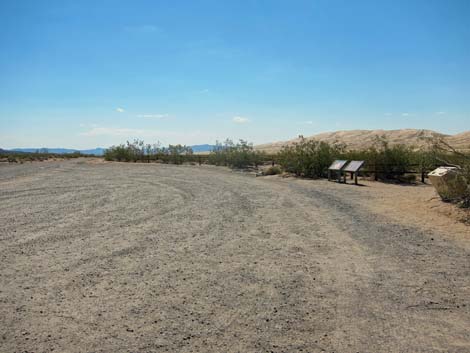 Kelso Dunes Trailhead (view W) |
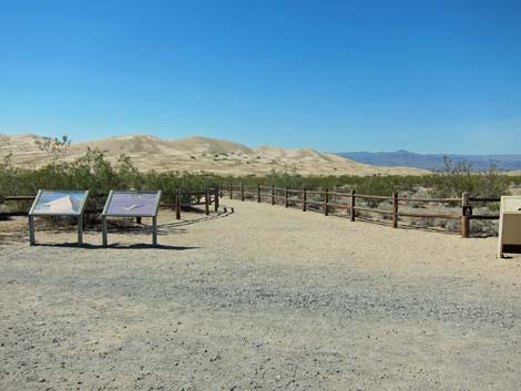 Start of Kelso Dunes Trail (now paved; view N) |
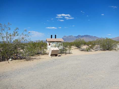 Restrooms and trash cans at trailhead (now paved) |
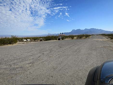 Trailhead parking area (view E) |
Kelso Dunes Road continues west
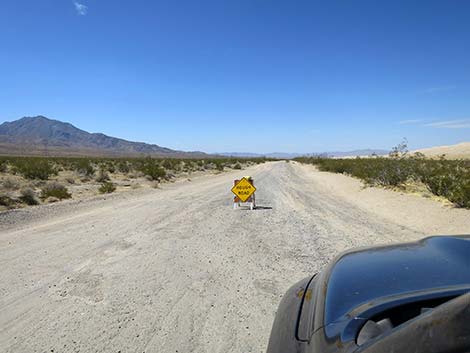 Kelso Dunes Road continues past the parking area (view W) |
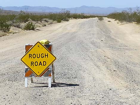 Actually, it's not too bad, but it can be sandy (view W) |
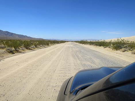 Kelso Dunes Road with washboards (view W) |
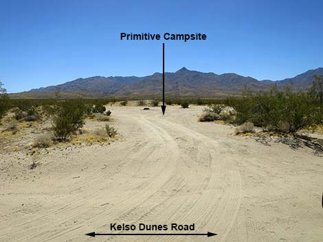 Kelso Dunes Road passing a primitive campsite (view S) |
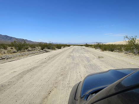 Kelso Dunes Road (view W) |
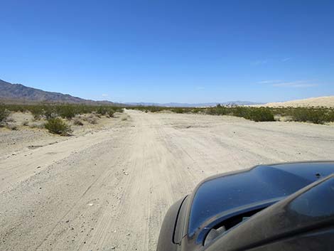 Kelso Dunes Road (view W) |
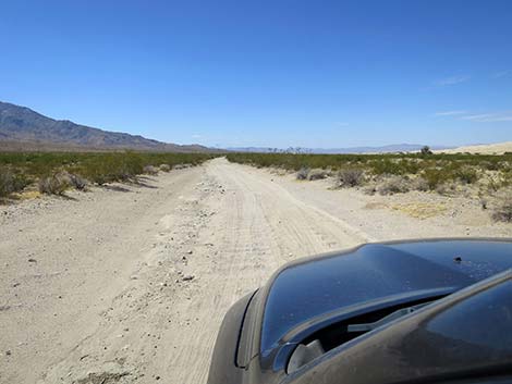 Kelso Dunes Road (view W) |
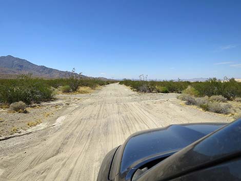 Kelso Dunes Road approaching a washout (view W) |
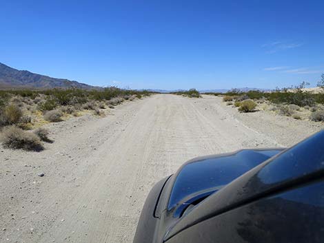 Kelso Dunes Road approaching a 3-way fork (view W) |
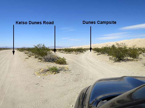 Kelso Dunes Road at 3-way fork (view W) |
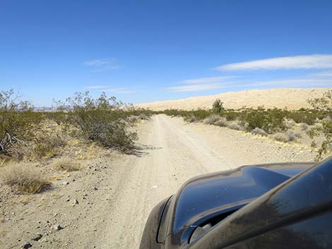 Right-most of the three forks (view NW) |
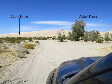 Entering the primitive camp area (view N) |
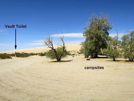 Main campsites with Athel Trees (view NW) |
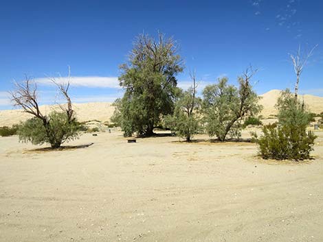 Main campsites with Athel Trees (view N) |
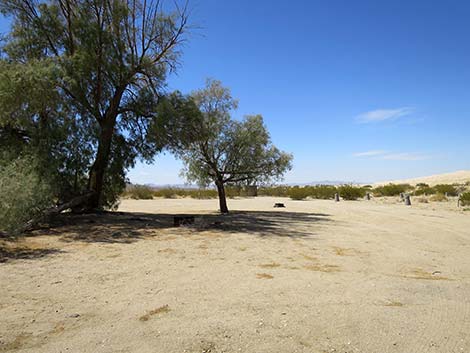 Main campsites with Athel Trees (view NW) |
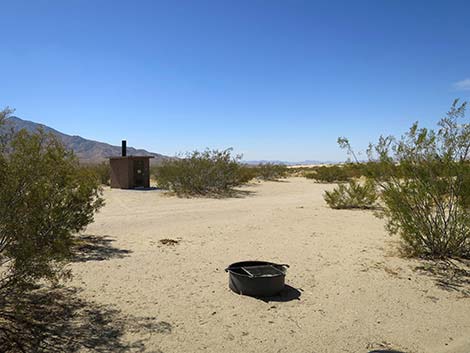 Fire ring and vault toilet (view NW) |
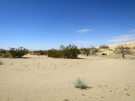 Sandy roads past the trees (view NW) |
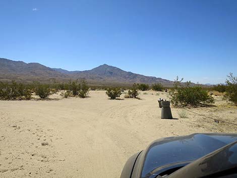 Sandy roads past the trees (view W) |
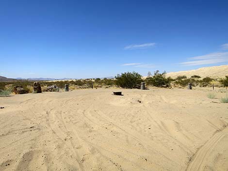 Sandy campsite past the trees; somebody got stuck (view NW) |
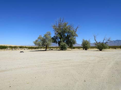 Main campsites (view SE) |
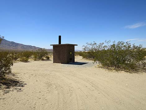 Vault toilet (view W) |
 More to come ... |
Table 1. Highway Coordinates Based on GPS Data (NAD27; UTM Zone 11S). Download Highway GPS Waypoints (*.gpx) file.
| Site | Location | UTM Easting | UTM Northing | Latitude (N) | Longitude (W) | Elevation (ft) |
|---|---|---|---|---|---|---|
| 0121 | Kelso Dunes Parking | 618950 | 3861679 | 34.89233 | 115.69824 | 2,789 |
| 0838 | Kelbaker Rd at Kelso Dunes Rd | 623494 | 3862705 | 34.90104 | 115.64836 | 2,815 |
| 1991 | Kelso Dunes Primitive Campsite | 617327 | 3861188 | 34.88809 | 115.71606 | 2,532 |
Happy Hiking! All distances, elevations, and other facts are approximate.
![]() ; Last updated 241014
; Last updated 241014
| Backroads | Hiking Around Mojave Preserve | Hiking Around Las Vegas | Glossary | Copyright, Conditions, Disclaimer | Home |