Hiking Around Las Vegas, Mojave National Preserve
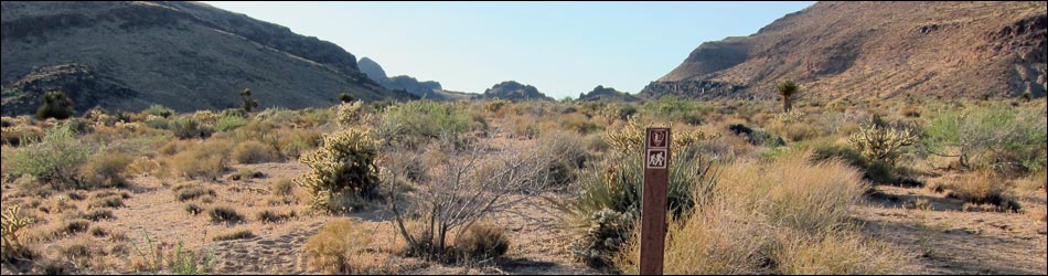
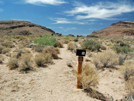
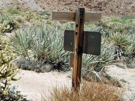
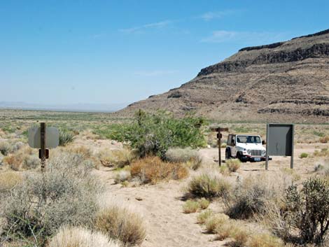
 Wild Horse Trailhead signs (view N) |
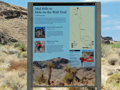
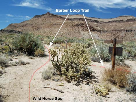
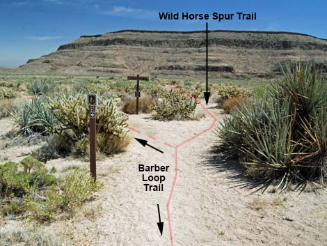
Overview The Wild Horse Spur Trail is a 0.30-mile connector that provides access to the Barber Peak Loop Trail from Wild Horse Road. While many hikers might prefer to hike from the Hole-in-the-Wall Campground or Visitor Center, this trail provides somewhat shorter access to northbound routes. Link to map. |
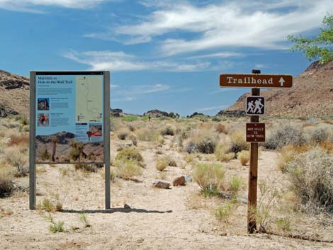
 Wild Horse Trailhead information sign (view N) |
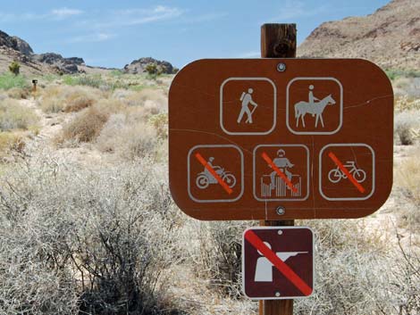
Watch Out Other than the standard warnings about hiking in the desert, ... this trail is about as safe and easy as they get. With some help, visitors in wheelchairs probably could use this trail. Cows are common in the area, so give them some distance if necessary. While hiking, please respect the land and the other people out there, and try to Leave No Trace of your passage. Also, even though this hike is short, be sure to bring what you need of the 10 Essentials. |
 |
Getting to the Trailhead This hike is located in Mojave National Preserve, about 2 hours south of Las Vegas. From town, drive out to Hole-in-the-Wall Visitor Center, which is about 85 miles south of Las Vegas. From the Visitor Center, drive back out to Black Canyon Road, turn right and drive south for 0.25 miles to Wild Horse Road. Turn right onto Wild Horse Road and drive west for about 1.1 miles to the Wild Horse Trailhead parking area, which is on the north side of the road. Park here; this is the trailhead. |
 |
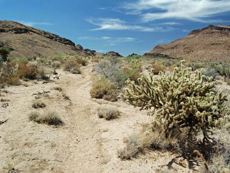
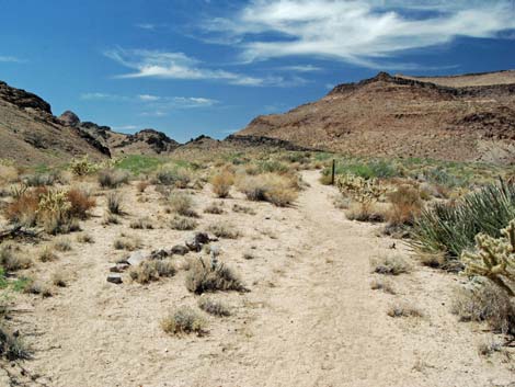
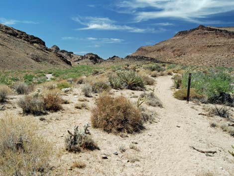
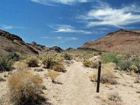
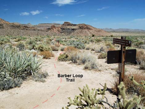
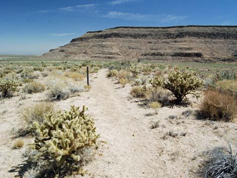
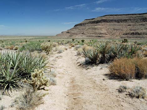
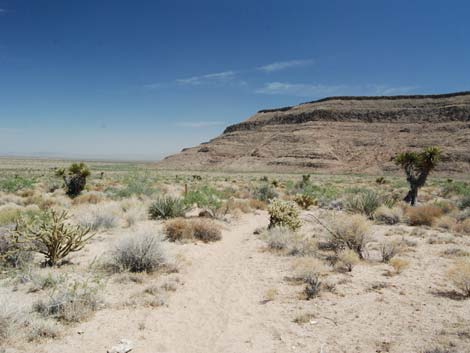
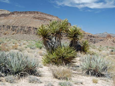
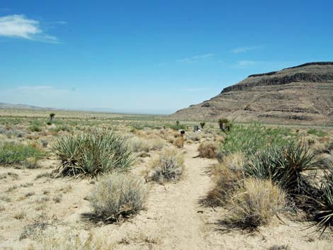
The Hike From the trailhead (Table 1, Waypoint 01), the trail runs north-northwest and up the gentle bajada heading for what appears to be a pass on the horizon. The trail runs north on a bench overlooking a broad sandy wash to the west. Vegetation on the bajada is low-growing Mojave Desert Scrub with lots of Mojave Yucca, Buckhorn Cholla, and Silver Cholla. A fire burned the entire mountain across the wash to the west, which makes for an interesting comparison with this side. The trail runs north for 0.30 miles to a trail junction (Wpt. 02) where this trail joins the Barber Peak Loop Trail, the Hole-in-the-Wall to Mid Hills Trail, and the route to the Tallest Mojave Yucca. |
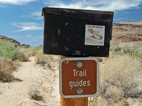 Box with trail brochures (view NW) |
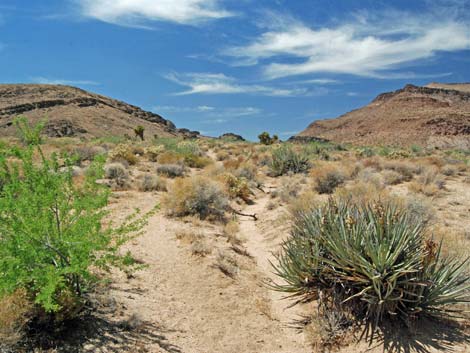 Trail runs parallel to erosion ditch (view NW) |
 |
 |
 |
 |
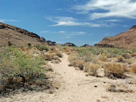
 Trail marked with carsonite markers (view NW) |
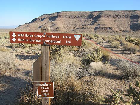
 Junction with Barber Peak Loop Trail (view N) |
 Trail intersection sign upon arrival (view N) |
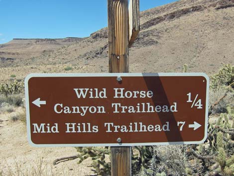 Trail sign (view W) |
 Trail sign (view S) |
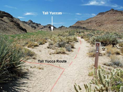 Nature Trail #5 sign; turn to Tall Yuccas (view NW) |
Returning to the Trailhead Southbound
 Wild Horse Spur Trail continues straight (view S) |
 Barber Peak Loop Trail turns to the east (view SE) |
 Returning down the spur trail (view S) |
 Returning down the spur trail (view S) Returning down the spur trail (view S) |
 |
 |
 Returning down the spur trail (view S) |
 Arriving at the Wild Horse Trailhead (view S) |
Table 1. Hiking Coordinates Based on GPS Data (NAD27; UTM Zone 11S). Download Hiking GPS Waypoints (*.gpx) file.
| Wpt. | Location | UTM Easting | UTM Northing | Elevation (ft) | Point-to-Point Distance (mi) | Cumulative Distance (mi) | Verified |
|---|---|---|---|---|---|---|---|
| 01 | Wild Horse Canyon Trailhead | 645309 | 3878101 | 4,199 | 0.00 | 0.00 | GPS |
| 02 | Barber Trail Junction | 645032 | 3878461 | 4,270 | 0.30 | 0.30 | GPS |
| 01 | Wild Horse Canyon Trailhead | 645309 | 3878101 | 4,199 | 0.30 | 0.60 | GPS |
Happy Hiking! All distances, elevations, and other facts are approximate.
![]() ; Last updated 240329
; Last updated 240329
| Hiking Around Mojave Preserve | Hiking Around Las Vegas | Glossary | Copyright, Conditions, Disclaimer | Home |