
Hiking Around Las Vegas, Spring Mountains (Mt. Charleston), Kyle Canyon

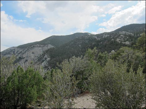 Fletcher Peak (view SW from near the trailhead) |
Overview Fletcher Peak is a fairly strenuous, 1.0-mile hike that runs south from the North Loop Trail on a generally well-defined use-trail to the summit. Note that although the Fletcher Peak Trail is only 1.0 miles long, it requires at least 2.5 miles of hiking to get to the start of the trail, making a minimum of 7 miles round-trip. Starting near the Raintree, the use-trail contours down and around the west side of a knob, then follows a ridge through a sparse forest of bristlecone pine with some well-sculpted old tree carcasses to a rocky highpoint from where great summit-like views await. Dipping to cross another saddle, the route runs up to the anticlimactic tree-covered summit (Fletcher East Peak). Except for peak-baggers, most hikers will choose to stop at the rocky outcrop (Fletcher West). Link to map. |
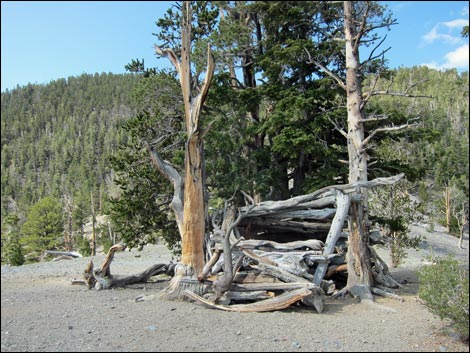 North Loop Trail at the Overlook (view W) |
Watch Out Other than the standard warnings about hiking in the desert, ...this hike is strenuous, so take it easy at this elevation if you've just come up from the desert (the high point on the trail is over 10,000 feet and the air is thin). There is some minor Class-2 or 3 scrambling between the rocky overlook and the summit. Other than that, the use-trail is fairly safe and easy to follow, but it can be hot and there is no water, so bring plenty. While hiking, please respect the land and the other people out there, and try to Leave No Trace of your passage. Also, even though this hike is short, be sure to bring what you need of the 10 Essentials. This hike is entirely in the Mount Charleston Wilderness Area, so pay particular attention to respecting the land. |
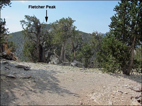 North Loop at the Highpoint (view W) |
Getting to the Trailhead The trail is located up in the Spring Mountains National Recreation Area (Mt. Charleston) on between Kyle and Lee Canyons, about 1 hour northwest of Las Vegas. From town, drive out to the Spring Mountains Visitor Center, then continue on Kyle Canyon Road to Deer Creek Road. Turn right onto Deer Creek Road and continue to the North Loop Trailhead. The Hike From the North Loop Trailhead, the North Loop Trail runs into the forest on a clearly marked and well-maintained trail. Initially, the trail is fairly gentle and passes through a forest of tall ponderosa pines and white fir, with an open understory of mountain mahogany and wax currents. The trail gradually steepens and climbs onto the Viewpoint with good campsites and grand views of the Sheep Range, Las Vegas, and other points east. Past the Viewpoint, the trail switchbacks up to a ridgeline (the Highpoint) with the first close-up views of Fletcher Peak to the south. Turning west, the trail runs out towards Mummy's Toes and the Raintree. |
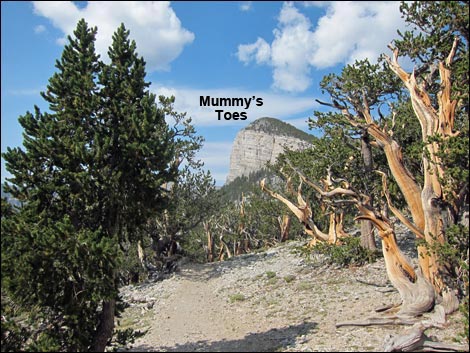 North Loop Trail (view W towards Mummy's Toes) |
Beyond the highpoint, the North Loop Trail runs west, more-or-less contouring across a south-facing slope with nice views south towards Fletcher Peak. The North Loop Trail crosses the ridgeline onto north-facing slopes and descends at a moderate grade. A few yards before the trail flattens out at the next saddle with fresh views south, the unsigned Fletcher Peak use-trail branches off to the left (Table 1, Waypoint 01). The trail junction is best marked by a log, a chunk of which was sawed away when building the trail. This is about 0.30 miles past the Highpoint, and about 0.15 miles before the Raintree. From the North Loop Trail (Wpt. 01), the Fletcher Peak use-trail runs south, climbing briefly before contouring and then running down and across a west-facing hillside with sparse bristlecone pines and little ground cover except the uncommon and shrubby littleleaf mountain mahogany. |
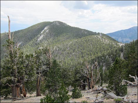 Fletcher Peak (view S from North Loop Trail) |
Approaching the broad saddle, hikers again get views of the summit. At the broad saddle (Wpt. 02), the use-trail is a bit faint, but easy to follow given that it crosses the saddle and starts up the other side staying on the east side of the ridge near the ridgeline. The use-trail climbs the ridge with nice views east and west in a few places. Climbing over little highpoints, dropping though slight saddles, and winding up switchbacks, the sometimes-steep trail eventually climbs onto a rocky outcrop (Wpt. 03) with grand, summit-like views in all directions except southeast. Atop the rocky outcrop, a cairn holds a summit register for Fletcher West, but a note on the outside of the register box tells the truth: the southeasterly view is blocked by the true summit. For peak baggers, the use-trail drops off the southeast side of the rocky outcrop to the saddle below, then trudges up through the trees to the true summit (Fletcher East Peak; Wpt. 04), which is also marked with a cairn and summit register (missing in 2019). There are no views here, so after realizing that there really is no view, climb back onto the rocky outcrop, relax, and enjoy the view. When ready, head back to the North Loop Trail and back down to the trailhead. |
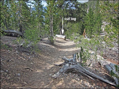 North Loop Trail approaching Fletcher Peak trail junction (view SW) |
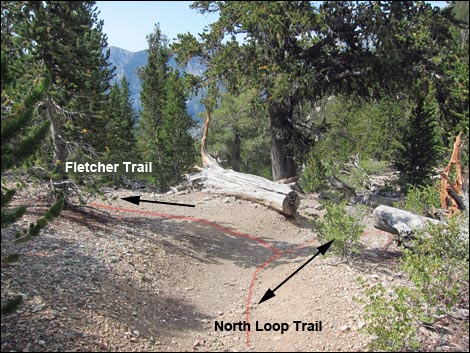 Cut log at Fletcher Peak trail junction (view SW) |
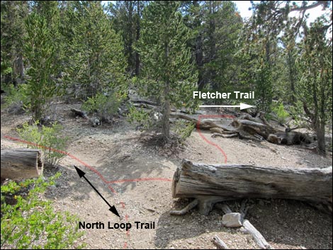 Looking back at trail junction (view SE) |
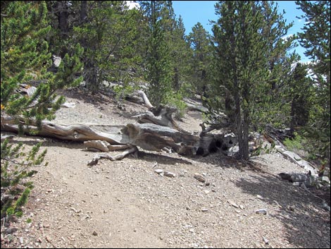 Fletcher Peak use-trail climbs a bit (view SE) |
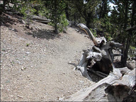 Fletcher Peak use-trail contours the hillside (view SE) |
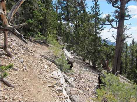 Fletcher Peak use-trail contours the hillside (view SE) |
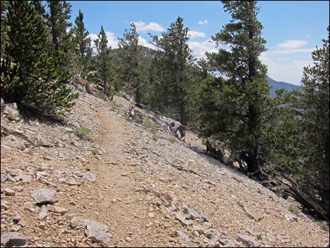 Fletcher Peak use-trail descends the hillside (view SE) |
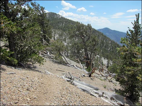 Fletcher Peak use-trail descends the hillside (view SE) |
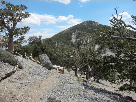 Fletcher Peak use-trail descends the hillside (view SE) |
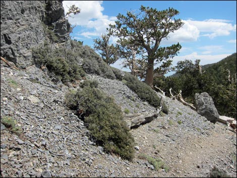 Fletcher Peak use-trail descends the hillside (view SE) |
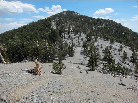 Fletcher Peak use-trail nearing the broad saddle (view SE) |
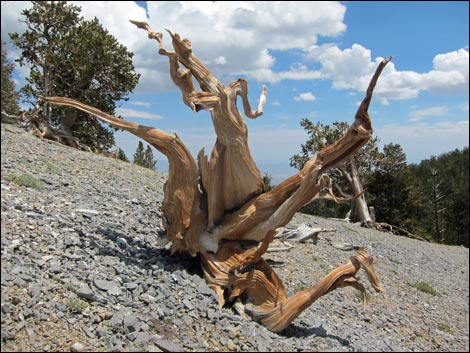 Bristlecone pine carcass on the broad saddle (view E) |
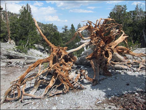 Bristlecone pine carcass on the broad saddle (view E) |
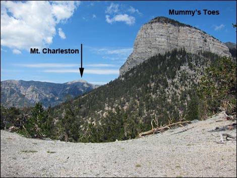 Grand view from the broad saddle (view W) |
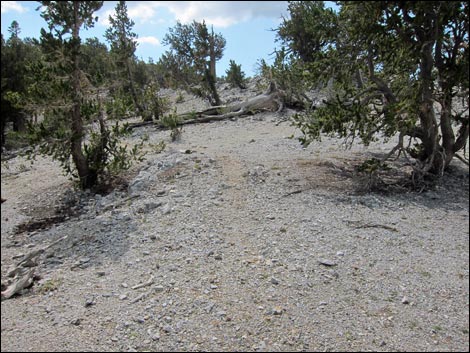 Fletcher Peak use-trail climbs the hillside near the ridgeline (view SE) |
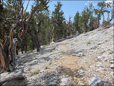
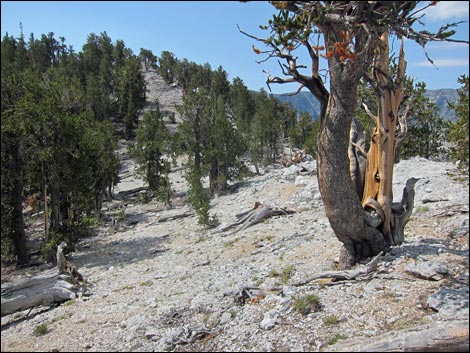
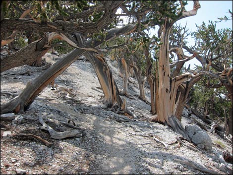
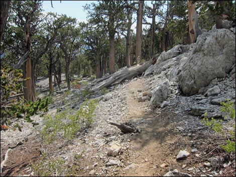 Fletcher Peak use-trail climbs the hillside (view SE) |
 |
 |
 |
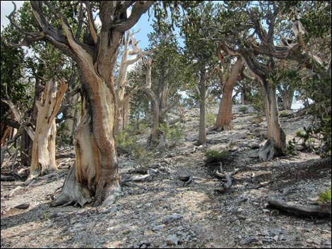 |
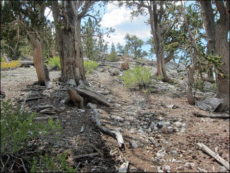 Fletcher Peak use-trail climbs to a highpoint (view SE) |
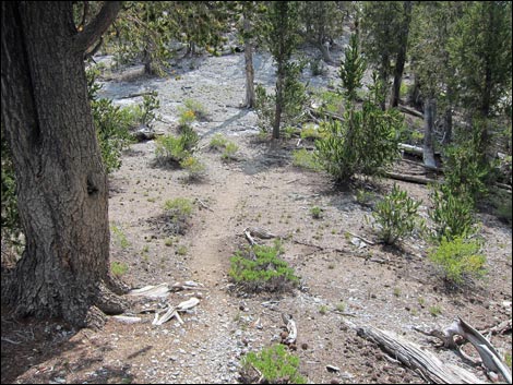 Fletcher Peak use-trail drops into a slight saddle (view SE) |
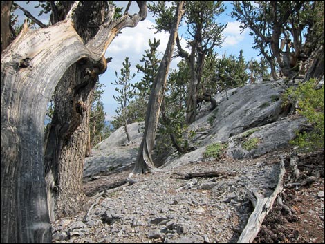
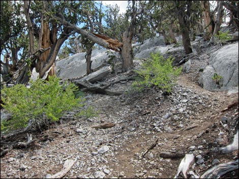
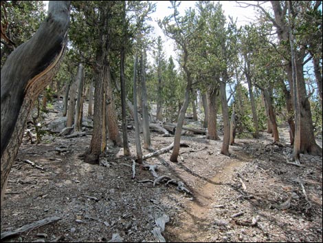 Fletcher Peak use-trail climbing through the bristlecones (view SE) |
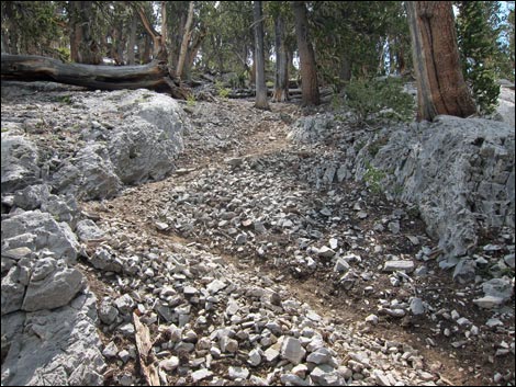 Fletcher Peak use-trail climbing switchbacks (view SE) |
 |
 |
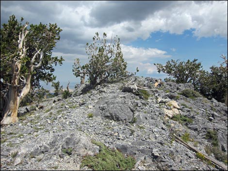 Fletcher Peak use-trail climbs onto rocky outcrop (view E) |
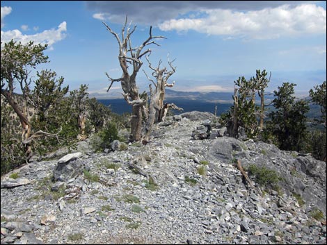 Rocky outcrop (view E) |
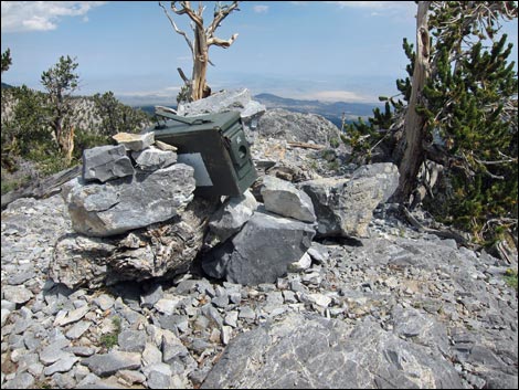 Cairn and summit register (view E) |
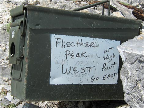 Sad but true (view SE) |
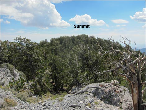 Summit -- there it is (view SE) |
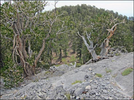 Route descends into the saddle (view SE) ... |
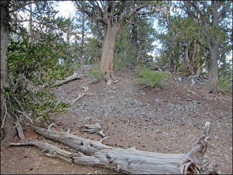 ... then climbs towards the summit (view SE) |
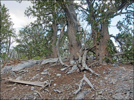 Fletcher Peak summit (view E) |
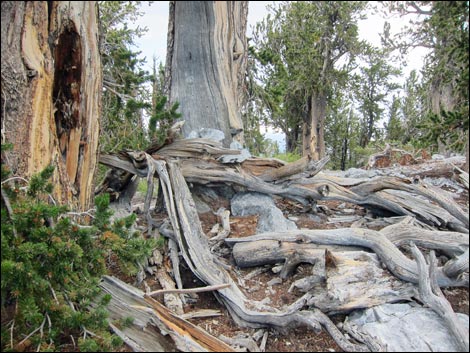 Fletcher Peak summit (view NE) Fletcher Peak summit (view NE) |
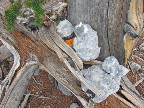 Historical image: summit register atop Fletcher Peak (now missing) |
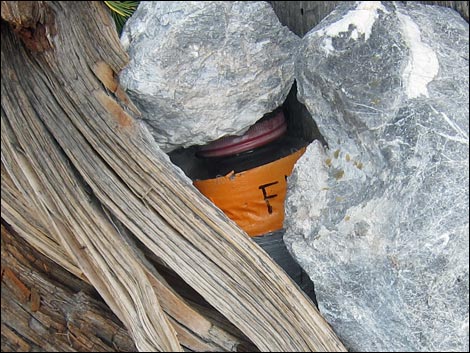 Historical image: summit register atop Fletcher Peak (now missing) |
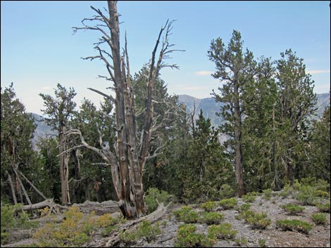 Fletcher Peak (aka Fletcher East Peak) (view S from summit) |
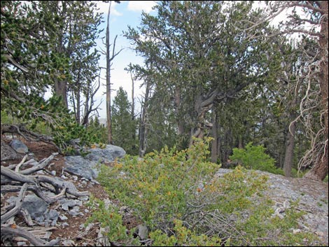 Fletcher Peak (aka Fletcher East Peak) (view N from summit) |
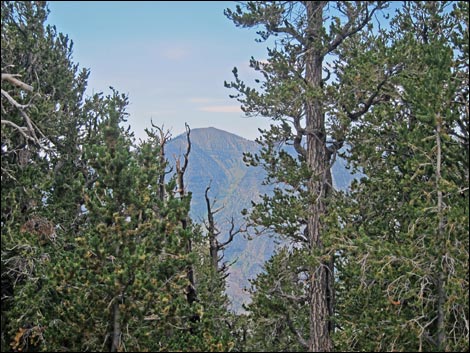 Fletcher Peak (aka Fletcher East Peak) (view S from summit) |
Summit-like Views from the Rocky Outcrop (Fletcher West)
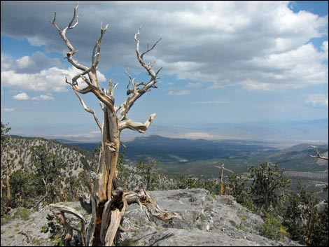 Rocky Outcrop (Fletcher West; view E towards Arizona) |
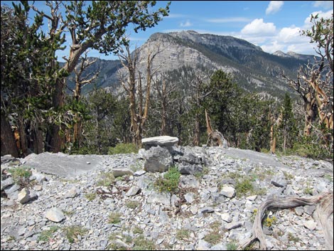 Rocky Outcrop (Fletcher West; view NW towards Mummy Mountain) |
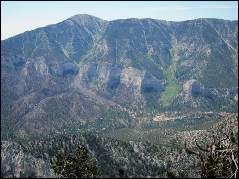 Rocky Outcrop (view S towards Mt. Charleston Town) |
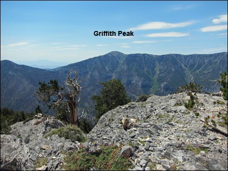 Rocky Outcrop (view S towards Griffith Peak) |
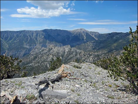 Rocky Outcrop (view W towards Mt. Charleston) |
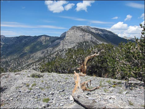 Rocky Outcrop (view NE towards Mummy Mountain) |
Hiking Back Down
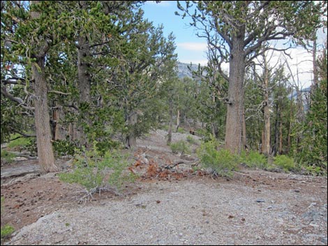 Descending from the true summit (view SW) |
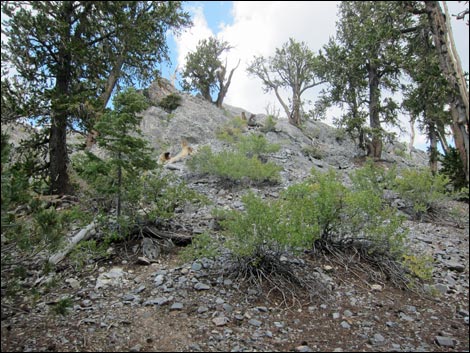 Climbing back onto the rocky outcrop (view SW) |
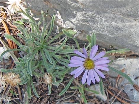 Mt. Charleston Forget-Me-Not (Erigeron clokeyi) |
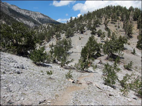 Descending into the broad saddle (view SW) |
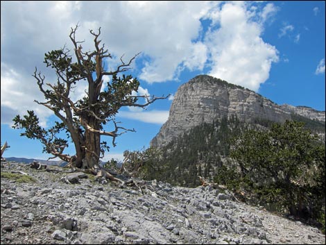 Bristlecone and Mummy's toes (view NW from broad saddle) |
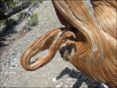 Nature art in wood |
Table 1. Hiking Coordinates and Distances based on GPS data (NAD27; UTM Zone 11S). Download Hiking GPS Waypoints (*.gpx) file.
| Wpt. | Location | UTM Easting | UTM Northing | Elevation (ft) | Point-to-Point Distance (mi) | Cumulative Distance (mi) | Verified |
|---|---|---|---|---|---|---|---|
| 01 | Start of Trail | 623018 | 4017262 | 9,949 | 0.00 | 0.00 | GPS |
| 02 | Saddle | 623207 | 4017033 | 9,817 | 0.21 | 0.21 | GPS |
| 03 | Rocky Overlook | 623717 | 4016494 | 10,245 | 0.64 | 0.85 | GPS |
| 04 | Summit | 623869 | 4016416 | 10,255 | 0.14 | 0.99 | GPS |
| 01 | Start of Trail | 623018 | 4017262 | 9,949 | 0.99 | 1.98 | GPS |
Happy Hiking! All distances, elevations, and other facts are approximate.
![]() ; Last updated 240329
; Last updated 240329
| Hiking Around Mt Charleston | Hiking Around Las Vegas | Glossary | Copyright, Conditions, Disclaimer | Home |