
Hiking Around Las Vegas, Mount Charleston Area

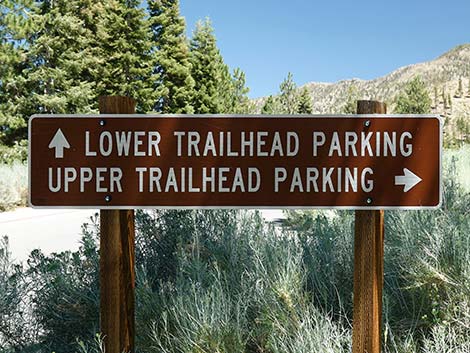
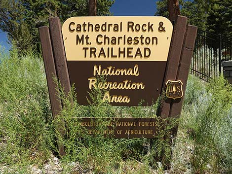 Cathedral Rock Trailhead sign at turnoff from Kyle Canyon Road |
Cathedral Rock Trailhead is located up in the Spring Mountains National Recreation Area (known to locals as Mt. Charleston), about 1 hour northwest of Las Vegas. The trailhead provides hiker access the Cathedral Rock Trail, South Loop Trail, Echo Overlook Trail, Griffith Peak Trail, Echo Trail, and myriad other destinations. There are two parking lots. Driving on the access road, turn right into the Upper Trailhead Parking Lot, or continue straight into the Lower Trailhead Parking Lot. Note that the Lower Trailhead Parking is farther in and at a higher elevation than is the Upper Trailhead Parking. The trail starts uphill between the two parking lots, a bit left of an information kiosk and bench. Look for the stone stairs. Link to trailhead map. |
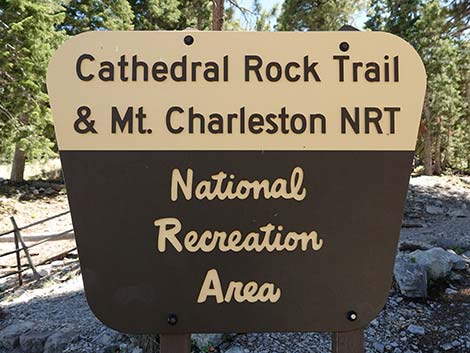 Cathedral Rock Trail sign at start of the trails |
The access road is gated, but the gate always is open during the summer season. It is locked during winter. Drinking water is available between the flush toilets in the Lower Trailhead Parking Lot. There is another toilet in the Upper Trailhead Parking Lot. Getting to the Trailhead From town, drive out to the Spring Mountains National Recreation Area. From the Spring Mountains Visitor Center (Table 1, Site 0726), continue up Kyle Canyon Road for 4.6 miles to Cathedral Rock Access Road (Site 1289). Turn right onto the access road, which is just before the Mt. Charleston Lodge. On the access road, drive southeast about 200 yards to the parking lots. |
Cathedral Rock Trailhead Entrance
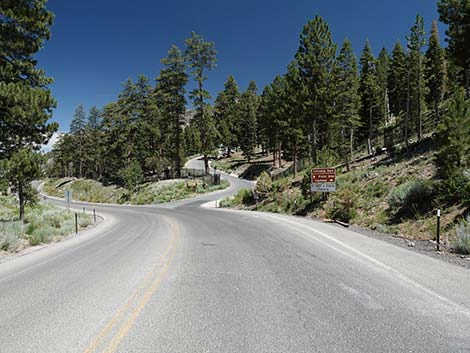 Kyle Canyon Rd approaching Cathedral Rock Trailhead Rd (view E) |
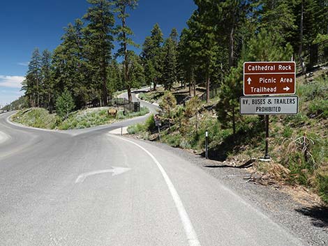 Turning right onto Cathedral Rock Trailhead Road (view E) |
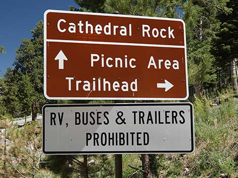 Cathedral Rock Trailhead sign (view SE from Kyle Canyon Road) |
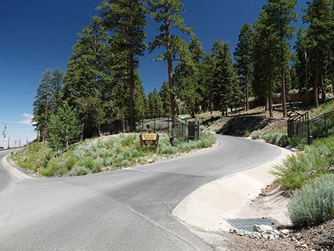 Turning right onto Cathedral Rock Trailhead Road (view E) |
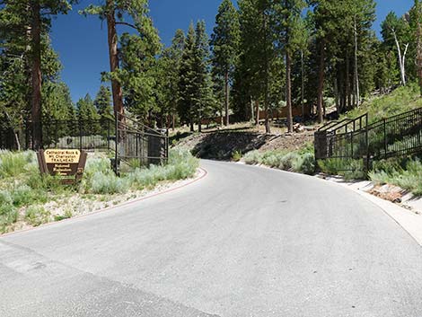 Cathedral Rock Trailhead Road (view SE) |
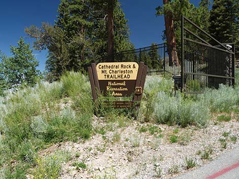 Cathedral Rock Trailhead sign (view SE) |
 Cathedral Rock Trailhead sign (view SE) |
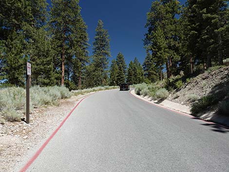 Cathedral Rock Trailhead Road (view SE) |
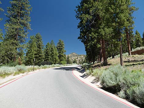 Cathedral Rock Trailhead Road (view SE) |
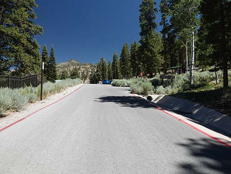 Cathedral Rock Trailhead Rd approaching fork in the road (view SE) |
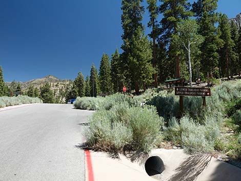 |
 |
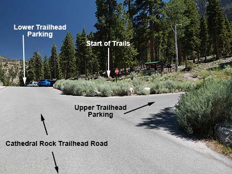 Road forks towards two parking areas (view S) |
 More to come ... |
Cathedral Rock Trailhead Upper Parking (lower elevation)
 Upper Trailhead Parking sign (behind tall bushes; view W) |
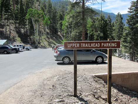 Upper Trailhead Parking sign (before the bushes; view W) |
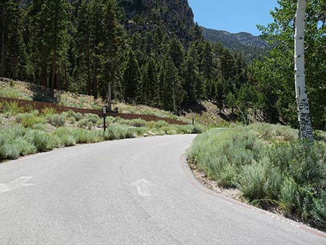 Entering Upper Trailhead Parking (view NW) |
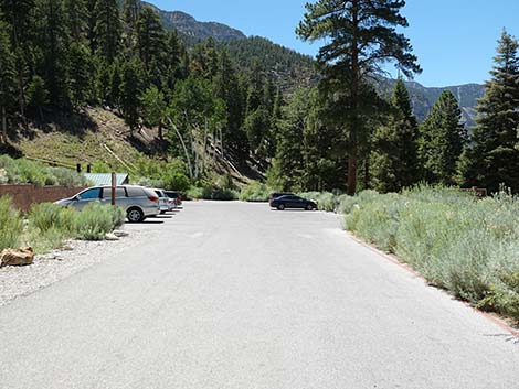 Entering Upper Trailhead Parking (view NW) |
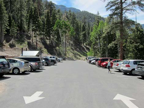 Entering Upper Trailhead Parking (view NW) |
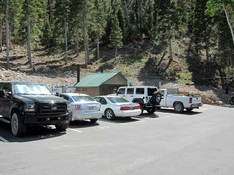 Restroom and parking |
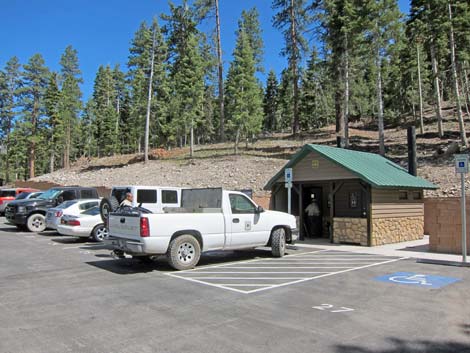 Restroom and handicapped parking |
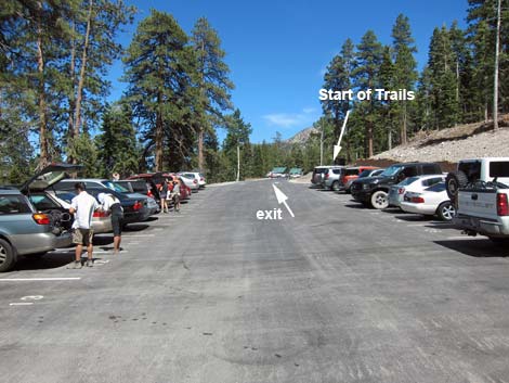 Upper Trailhead Parking (view SE towards trail) |
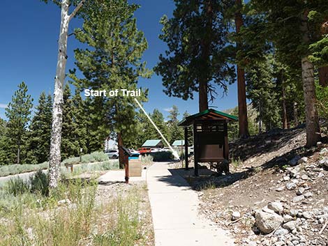 Sidewalk approaching start of the trails (view SE from Upper Parking) |
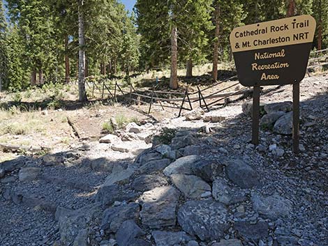 Start of the trails (view SE coming from Upper Parking) |
Cathedral Rock Trailhead Lower Parking (higher elevation)
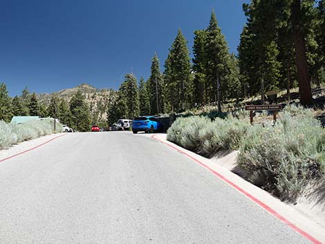 Cathedral Rock Trailhead Road past the fork (view SE) |
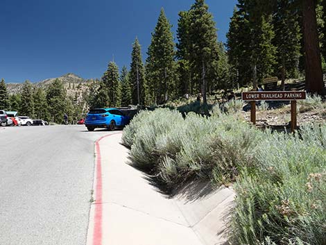 Cathedral Rock Trailhead Rd at Lower Trailhead Parking sign (view SE) |
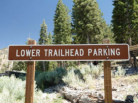 Lower Trailhead Parking sign (view SE) |
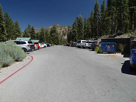 Entering the Lower Trailhead Parking area (view SE) |
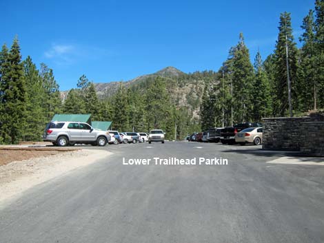 Entering Lower Trailhead Parking (view SE) |
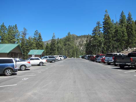 Lower Trailhead Parking (view SE) |
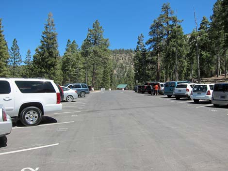 Lower Trailhead Parking (view SE) |
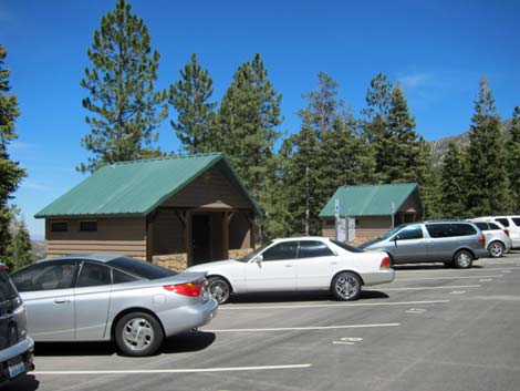 Lower Trailhead Parking (view SE) |
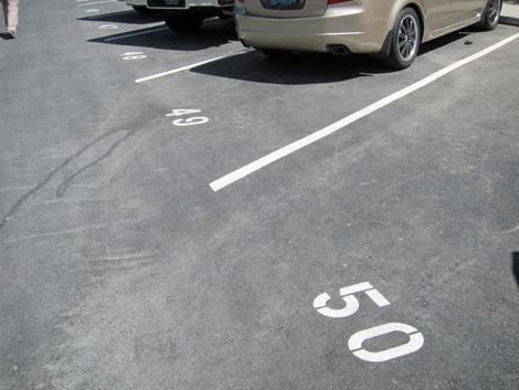 Fifty numbered parking spaces |
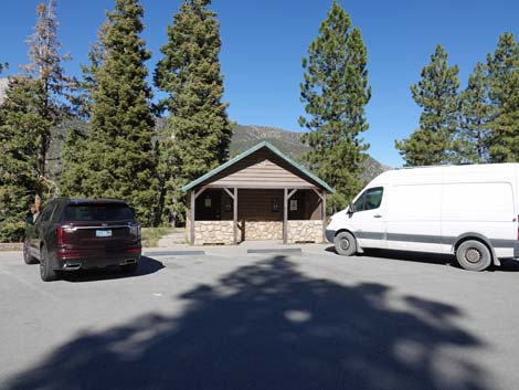 North toilets (view NE) |
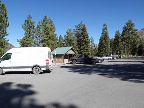 South toilets (view E) |
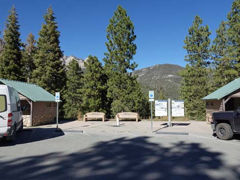 Toilets and information signs (view E) |
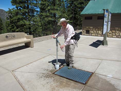 Drinking water (view SE) |
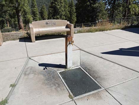 Drinking water (view E) |
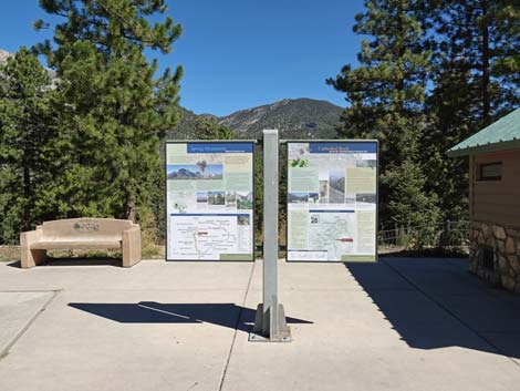 Area information signs (view NE) |
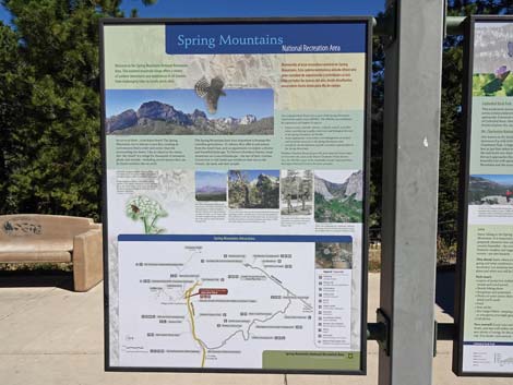 Information sign, left panel: Spring Mountains area (view NE) |
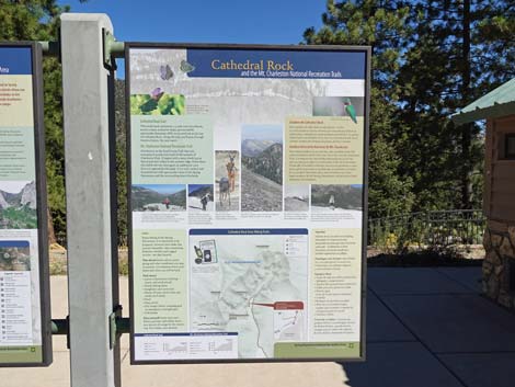 Information sign, right panel: Cathedral Rock and South Loop trails |
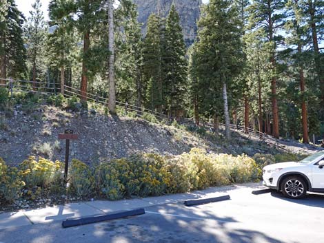 Fence guides hikers to the trailhead (view W) |
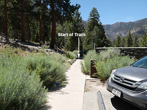 Sidewalk leading towards start of trails (view NW) |
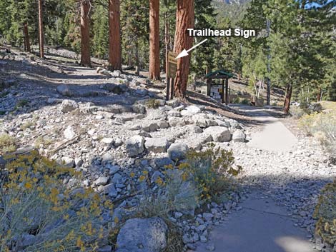 Start of trail (view NW from Lower Parking) |
Start of the Trail
 |
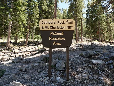 |
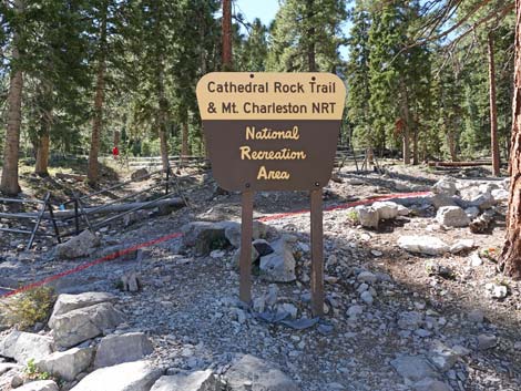 Cathedral Rock Trailhead sign (view SW) |
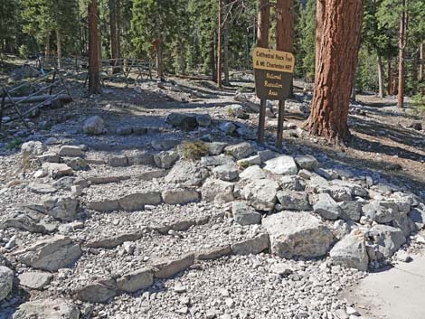 Start of trail (view SW) |
Returning From the Trails
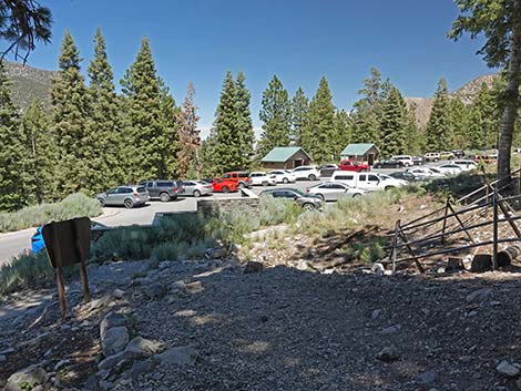 Returning to the trailhead (view NE) |
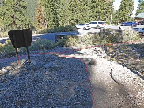 End of the trail (view NE) |
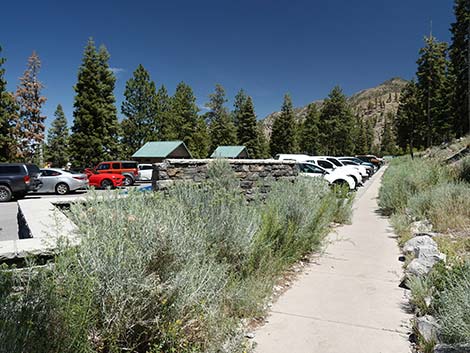 Exiting trail towards Lower Parking |
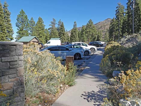 Exiting trail towards Lower Parking |
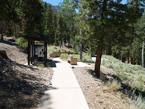 Exiting trail towards Upper Parking |
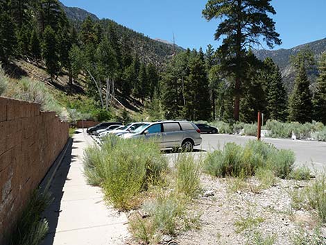 Upper Trailhead Parking (view NW exiting trail) |
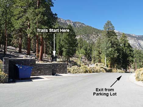 Exit from parking lot (view NW) |
 More to come ... |
Trailhead Information Signs
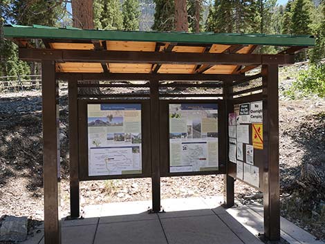 Trailhead information kiosk (view S) |
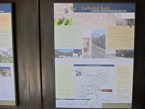 Trailhead information sign |
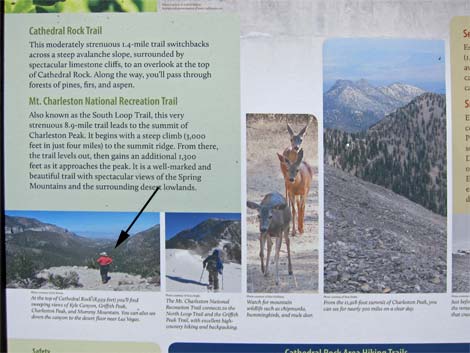 Trailhead information sign; note hiker atop Cathedral Rock |
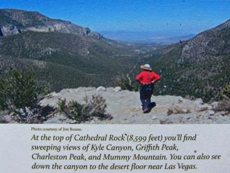 It's the BirdAndHike lady! |
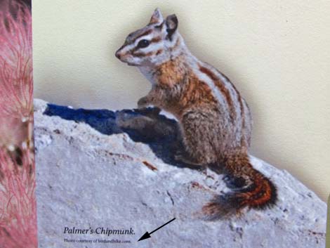 Palmer's Chipmunk (photo courtesy BirdAndHike) |
 More to come ... |
Table 1. Highway Coordinates based on GPS Data (NAD27; UTM Zone 11S). Download Highway GPS Waypoints (*.gpx) file.
| Site | Location | UTM Easting | UTM Northing | Latitude (N) | Longitude (W) | Elevation (ft) | Verified |
|---|---|---|---|---|---|---|---|
| 0726 | Spring Mts Visitor Center | 624580 | 4013810 | 36.26300 | 115.61319 | 6,932 | Yes |
| 1289 | Kyle Canyon Rd at Cathedral Rock Trailhead Rd | 621582 | 4013115 | 36.25711 | 115.64667 | 7,687 | Yes |
| 1469 | Cathedral Rock Trailhead | 621731 | 4013026 | 36.25629 | 115.64502 | 7,713 | Yes |
Happy Hiking! All distances, elevations, and other facts are approximate.
![]() ; Last updated 240329
; Last updated 240329
| Hiking Around Mt Charleston | Hiking Around Las Vegas | Glossary | Copyright, Conditions, Disclaimer | Home |