
Hiking Around Las Vegas, Red Rock Canyon NCA, Blue Diamond Hill

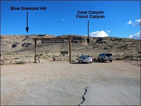 Cowboy Trail Rides Trailhead Parking (view E) |
Overview Cave Canyon is one of the major canyons that cuts into the northwest side of Blue Diamond Hill. From the trailhead to a trail junction at the head of the canyon, the route runs 2.1 miles, passing interesting caves and lots of fossils along the way, and providing access to the summit and several of the Blue Diamond Bike Trails. The trail is heavily used to the first cave, Packrat Midden Cave along the wash. This cave is not one to enter. From Packrat Midden Cave, adventuresome hikers can cross the wash and climb the exposed, 3rd-class canyon wall to Desert Cave. Passage up the canyon beyond these caves is blocked by a formidable 4th-Class pour-over. Strong hikers can, however, climb directly up the overhanging pour-over into the upper canyon. From time to time, a wooden ladder appears here that can be used to climb the pour-over. Upper Desert Cave is just above the pour-over. The route runs another 1-1/4 miles to exit the canyon out the top. Link to map |
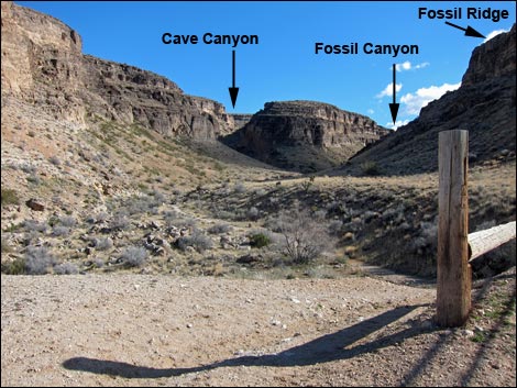 Beyond upper corrals, trail drops into wash (view SE) |
Watch Out Other than the standard warnings about hiking in the desert, ...this hike requires a steep and sometimes exposed, 3rd-class scramble from the end of the trail up to Desert Cave. Inside the caves, well..., caves are inherently dangerous, and it is hard to rescue injured people from caves. For hikers without at least three lights per person, don't go any deeper than the natural light. After a few minutes underground, eyes adjust to the dim light, and hikers can go pretty deep without flashlights. For those who want to go deeper, get some training and always carry at least three sources of light. Getting around inside the caves requires some 3rd-class scrambling. The floors are uneven, and things hang down from the ceiling to bash your head. Be sure to review the standard warnings about going into holes in the ground. Continuing up the canyon beyond Packrat Midden Cave requires climbing a formidable 4th-Class pour-over or sometimes a rickety ladder. |
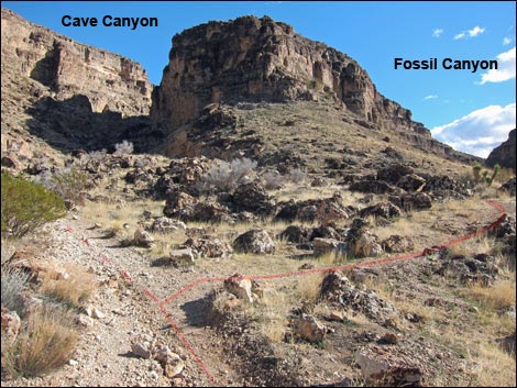 Cave Canyon - Fossil Canyon trail junction (view SE) |
While hiking, please respect the land and the other people out there, and try to Leave No Trace of your passage. Also, this route is fairly long by the time hikers get back to the trailhead, be sure to bring what you need of the 10 Essentials. Getting to the Trailhead This hike is located in Red Rock Canyon National Conservation Area, about 30 minutes from town, but not on the Scenic Loop Road. Drive out West Charleston Blvd, past the entrance to the Scenic Loop Drive, to the Cowboy Trail Rides Trailhead on the left. Park here; this is the trailhead. |
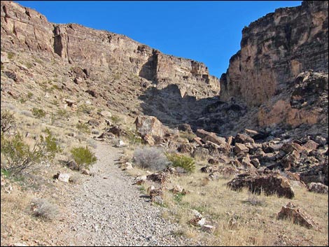 Cave Canyon Trail (view E) |
The Hike From the trailhead (Table 1, Waypoint 01), the route runs southeast, on the dirt road or on a foot trail, towards a deep canyon on the western flanks of Blue Diamond Hill. The route passes the first corrals (visible from the trailhead) and then the second corrals (out of sight), which are at the end of the dirt road (Wpt. 02) in the mouth of Fossil Canyon. The route passes the second corrals to the east (left). Please don't disturb the cowboys or their horses, at least not too much. Just beyond the corrals, the trail drops into Fossil Canyon Wash and crosses to the other side of the wash. The wide trail runs up the canyon for a few hundred yards to where the canyon splits (Wpt. 03). The caves are in the main canyon to the left. A smaller use-trail, the Fossil Canyon Trail, goes up the canyon to the right where hikers can find interesting Paleozoic fossils. Just past the trail junction, high on the canyon wall to the left (north), a use-trail leads steeply up to what appears to be a cave. It is not; don't bother to check for yourself. |
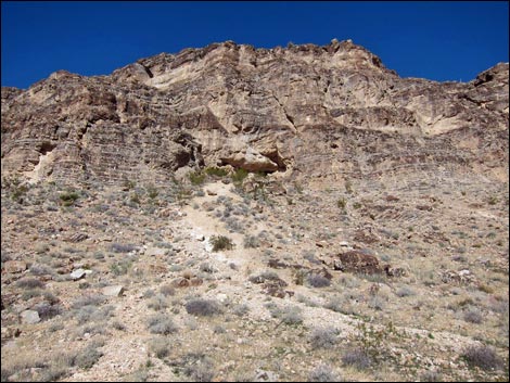 Apparent caves on left wall are not caves (view N) |
The wide trail continues up the main canyon for a few more yards, then crosses the wash to the south side. Across the wash, the trail becomes steep, narrow, and rocky as it climbs high onto the south wall of the canyon. The constructed trail ends at the mouth of Packrat Midden Cave (Wpt. 04). This cave is not one to enter because it contains a huge packrat midden (a scientific way of saying a pile of Desert Woodrat poop and urine mixed with sticks and cactus spines). Also, the dusty flowstone on the floor of this cave is surprisingly slick. This cave isn't deep, but it is interesting because it contains some nice flowstone and an enormous packrat midden. A "midden" or "midden pile" is a fancy name for a trash heap. When ancient people made middens, they left behind things for archaeologists to dig through. From the trash, archaeologists determine how the ancients lived, what they used for tools, and what they ate. When packrats (specifically Desert Woodrats) make midden piles, which are mostly solidified urine, feces, plant material, and bones, biologists can dig through the midden to determine the same things. |
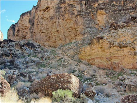 Trail crosses wash (view S) |
At the end of the trail (Wpt. 04), the route to Desert Cave forks off to the left. Desert Cave lies directly above the trail, high on the northeastern (opposite) wall, but it is not visible from below. For Desert Cave, the route crosses the wash and scrambles up the steep broken hillside. The cave is high on the side of the canyon, just below the vertical cliffs. The easiest route is to follow a use-trail that makes a big zig-zag up the steep hillside. From the end of the trail, the route goes across the wash and up the right-most use-trail to climb 3rd-class onto a ledge system. Ledges lead down and left to the extreme downstream end of the use-trails, then the route cuts back up and right on ledges that lead directly to the cave entrance (Wpt. 05). From below, a large boulder blocks the view of the cave entrance, but the boulder often is sprayed with paint. |
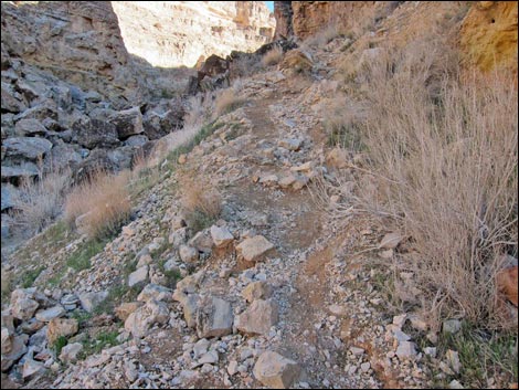 Trail climbs steeply (view E) ... |
Continuing up Cave Canyon, from the end of the main trail, a use-trail climbs around huge boulders and drops back into the wash and continues up the canyon for 40 yards to the formidable pour-over. The pour-over requires a short bit of 4th-class climbing and 3rd-class scrambling. Hikers built a pile of boulders at the base of the pour-over that makes the first step easier, but the pile can be unstable. Consider how to climb back down before climbing up -- it is always easier to climb up than to climb down. From time to time, hikers place a wooden ladder atop the unstable pile of boulders. The ladder can be used to climb the overhanging part of the pour-over, but it doesn't quite reach the lip of the pour-over, and hikers still need to scramble up the rest of the pour-over. Above the pour-over, the route continues up the canyon for another 40 yards to a small cave with a horizontal entrance on the left at the edge of the wash. This cave is shallower and smaller than it looks. However, Upper Desert Cave (Wpt. 06) is just above and left of this shallow cave. |
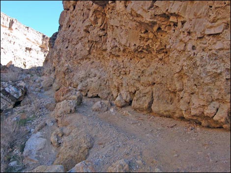 ... then stays tight against the cliff (view E) |
Upper Desert Cave is about 70 yards deep, and the back of the cave is about 10 yards lower than the entrance. This cave isn't as nicely painted as Desert Cave, but otherwise they are similar. There are lots of small cave formations around the edges and in the back of the cave. Be sure to check the ceiling for fossils. Continuing up Cave Canyon, the route follows the wash upstream, winding back and forth for about 1-1/4 miles. The canyon is scenic, has nicely layered limestone walls, contains interesting plants and fossils, and presents no unusual hazards. In places, there are use-trails along the side of the canyon, but mostly the route stays in the wash. Eventually the use-trail climbs out of the top of the canyon to a junction with several other of the Blue Diamond Hill Bike Trails, which can be used to visit the summit and make a loop for the return to the trailhead. |
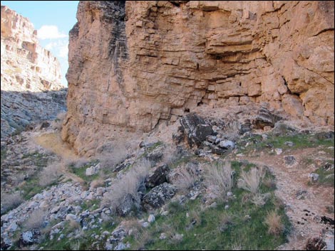 Trail stays tight against the cliff (view E) |
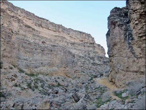 Trail stays tight against the cliff (view E) |
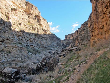 Approaching end of constructed trail (view SE) |
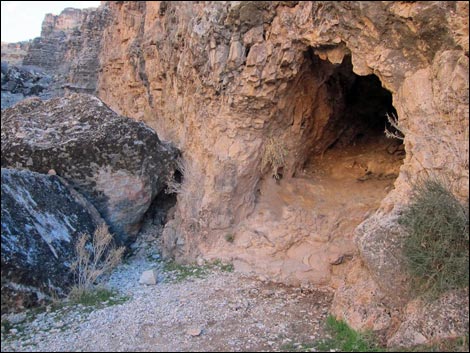 Constructed trail ends at Packrat (Desert Woodrat) Midden Cave |
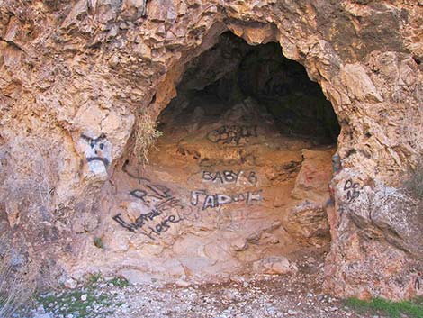 Packrat Midden Cave (view S) Why do people think this is okay? |
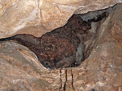 Enormous pile of packrat poop and stuff inside Packrat Midden Cave |
Desert Cave
 Constructed trail ends at Packrat (Desert Woodrat) Midden Cave |
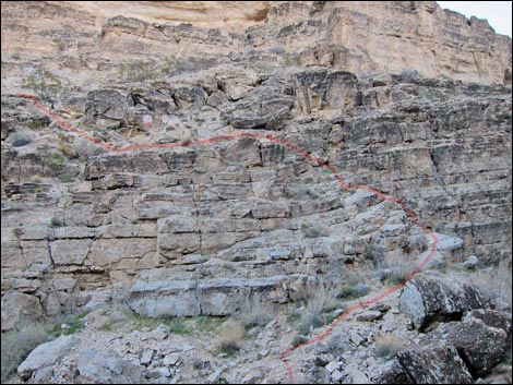 Desert Cave is up there (view NE from Packrat Midden Cave) |
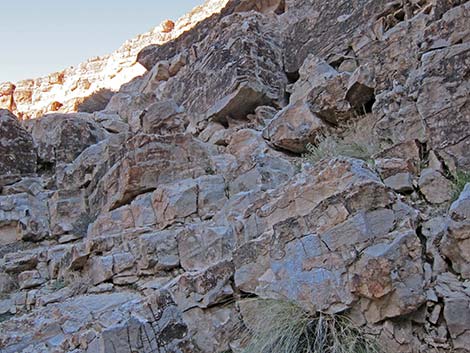 A bit of Class-4 scrambling to reach Desert Cave |
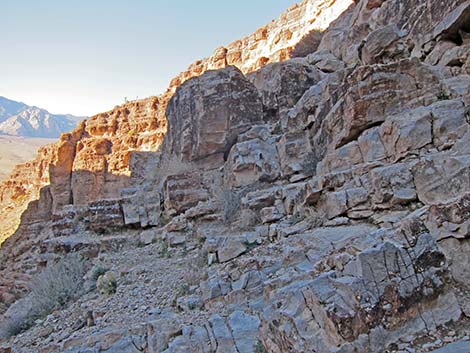 A bit more Class-4 scrambling to reach Desert Cave |
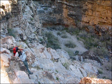 Looking down: not hard, but if you fall -- you die |
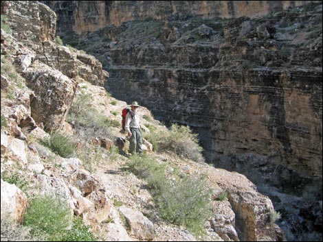 Looking back: Traversing ledges below Desert Cave (view SE) |
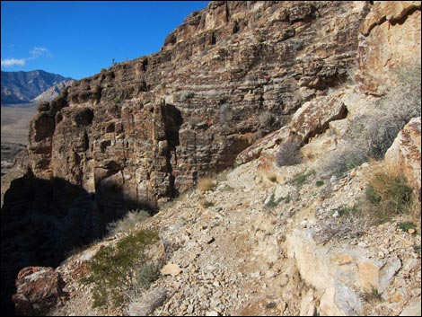 Ledge used to traverse below Desert Cave (view NW) |
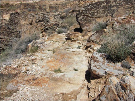 Continue across ledge below Desert Cave (view NW) |
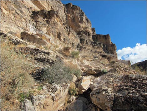 Switchback up steep ramp toward Desert Cave (view SE) |
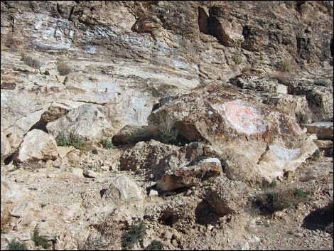 Entrance to Desert Cave is hidden behind boulder (view SE) |
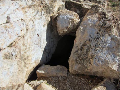 Entrance to Desert Cave (view SE) |
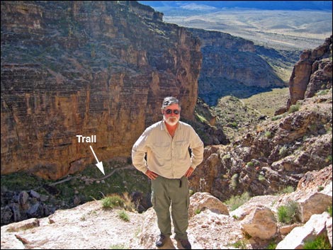 At entrance to Desert Cave |
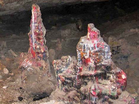 More tasteless artwork - don't do this! |
 There are some interesting cave formations |
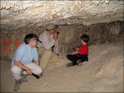 Hikers inside Desert Cave |
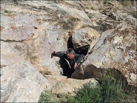 Hiker exiting from Desert Cave |
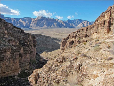 Fresh air and quite a view after coming out of the cave |
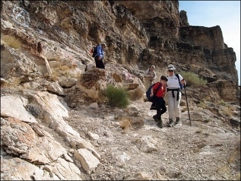 Descending from Desert Cave - yes, it is steep |
Continuing Up Cave Canyon
 Trail continues past Packrat (Desert Woodrat) Midden Cave |
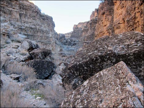 Back at Packrat Cave, trail continues up Cave Canyon (view SE) |
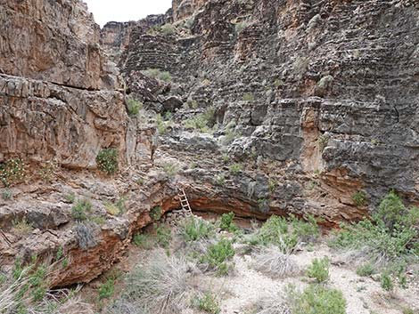 Trail climbs around boulders, then drops back to canyon bottom |
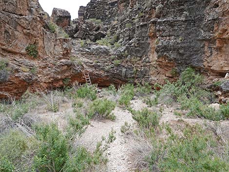 Back in the bottom of Cave Canyon |
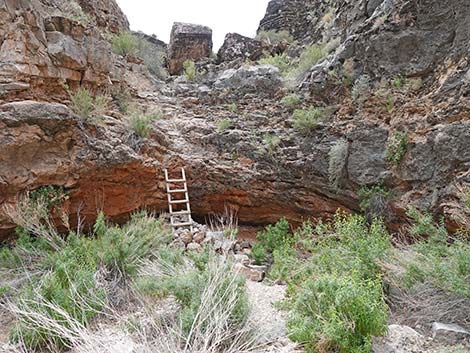 A ladder helps hikers climb up pour-over |
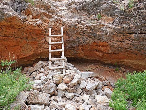 The ladder isn't the most stable infrastructure feature |
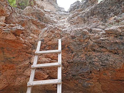 The ladder doesn't actually reach the lip of the overhang |
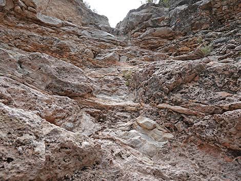 Above the ladder, hikers still need to scramble up the pour-over |
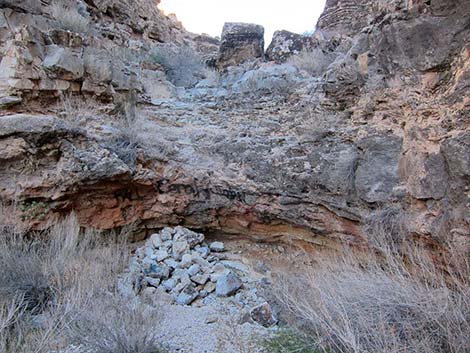 Approaching the pour-over without a ladder |
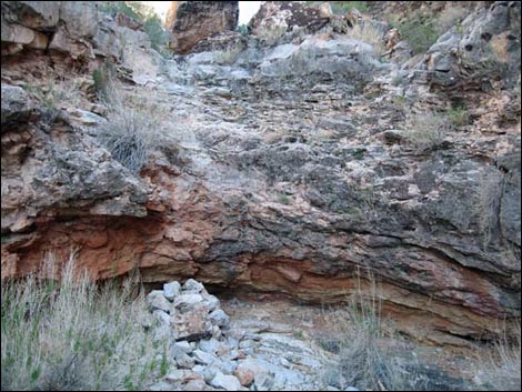 Without ladder: a bit more minimally Class-4 scrambling (view SE) |
Coming down the Pour-Over and Ladder
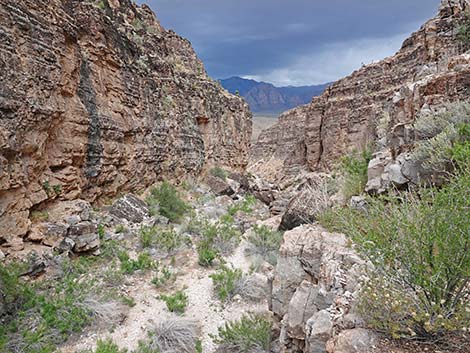 Before starting down, calm yourself with grand scenery (view NW) |
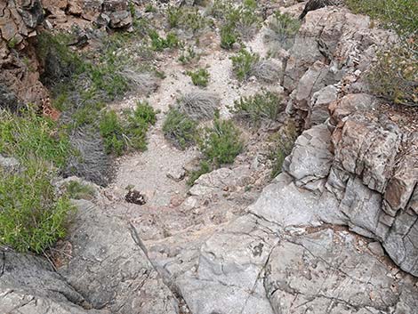 Looking down to pour-over, the ladder is not visible |
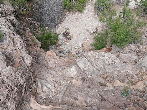 Halfway down the pour-over, the ladder is not visible |
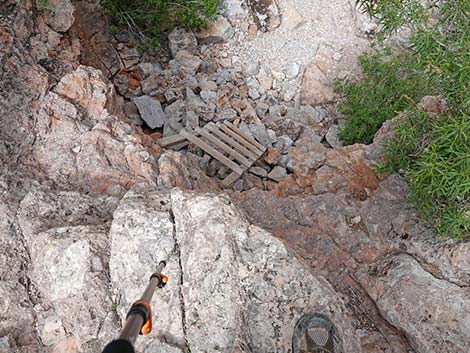 At the edge of the overhang, the ladder becomes visible |
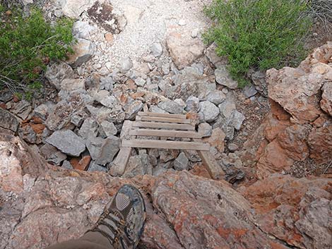 Last step before the ladder |
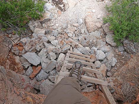 First step onto the ladder |
Upper Cave
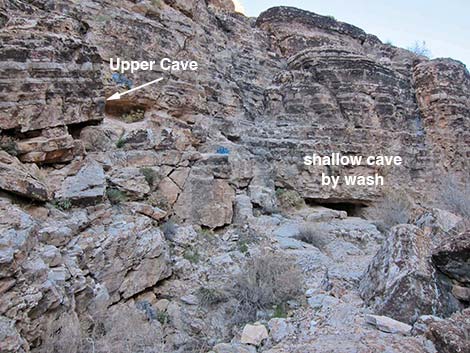 Approaching Upper Desert Cave (view SE) |
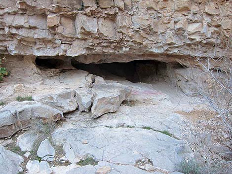 Shallow cave by wash (view SE) |
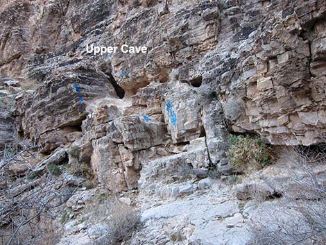 Entrance to Upper Desert Cave (view N from wash bottom) |
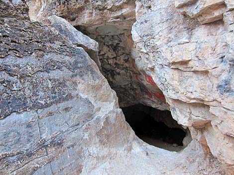 Entrance to Upper Desert Cave (view SE) |
Continuing Up Cave Canyon
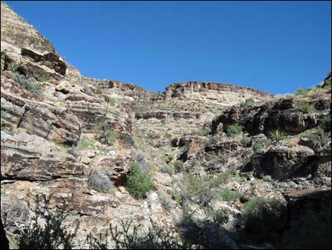 Upper Cave Canyon (view SE) |
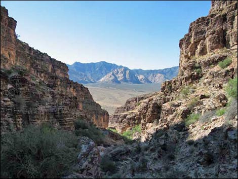 Looking Back: Upper Cave Canyon (view NW) |
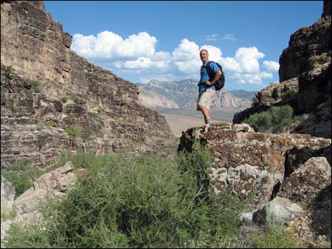 Looking Back: Upper Cave Canyon (view NW) |
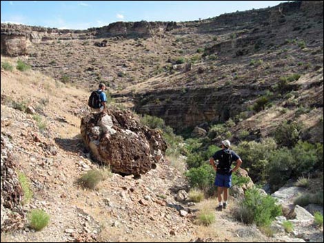 Upper Cave Canyon (view E) |
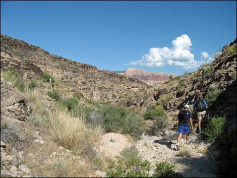 Looking Back: Upper Cave Canyon (view NW) |
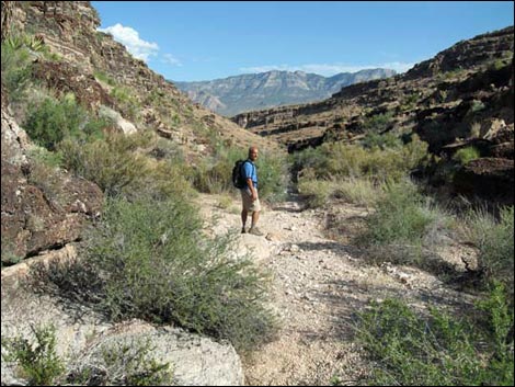 Looking Back: Upper Cave Canyon (view NW) |
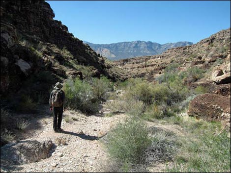 Looking Back: Upper Cave Canyon (view NW) |
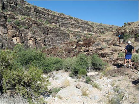 Looking Back: Upper Cave Canyon (view NW) |
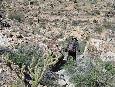 Looking Back: Upper Cave Canyon (view NW) |
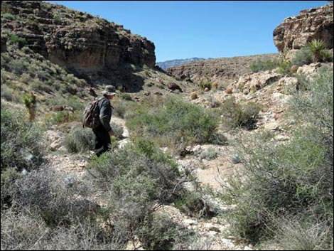 Looking Back: Upper Cave Canyon (view NW) |
Table 1. Hiking Coordinates Based on GPS Data (NAD27; UTM Zone 11S). Download Hiking GPS Waypoints (*.gpx) file.
| Wpt. | Location | UTM Easting | UTM Northing | Elevation (ft) | Point-to-Point Distance (mi) | Cumulative Distance (mi) | Verified |
|---|---|---|---|---|---|---|---|
| 01 | Trailhead | 641052 | 3998352 | 3,705 | 0.00 | 0.00 | GPS |
| 02 | End of Dirt Road | 641403 | 3998050 | 3,720 | 0.33 | 0.33 | GPS |
| 03 | Canyon Splits | 641676 | 3997821 | 3,795 | 0.26 | 0.59 | GPS |
| 04 | Desert Cave Spur | 641931 | 3997673 | 3,969 | 0.23 | 0.82 | GPS |
| 05 | Desert Cave | 641974 | 3997702 | 4,038 | . | . | GPS |
| 06 | Upper Desert Cave | 642019 | 3997638 | 4,044 | 0.05 | 0.87 | GPS |
| 13 | Trail Junction | 643067 | 3996507 | 4,474 | 1.24 | 2.11 | GPS |
Happy Hiking! All distances, elevations, and other facts are approximate.
![]() ; Last updated 240729
; Last updated 240729
| Hiking Around Red Rocks | Hiking Around Las Vegas | Glossary | Copyright, Conditions, Disclaimer | Home |