
Backroads Around Las Vegas, Red Rock Canyon National Conservation Area

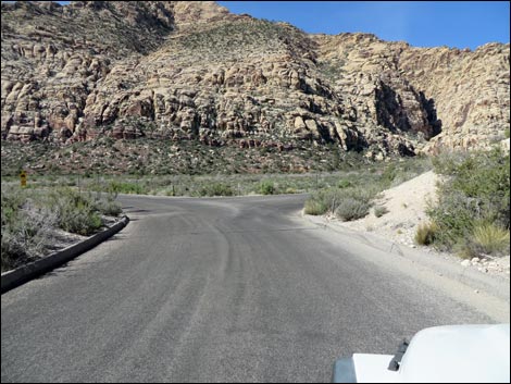 Scenic Loop Road at Willow Springs Road (view W) |
Overview Willow Springs Road is a 0.6-mile paved spur-road in Red Rock Canyon National Conservation Area that connects the Scenic Loop Road with the Lost Creek Trailhead, the Willow Springs Trailhead, and Rocky Gap Road. Willow Springs Road provides access to the Rainbow Mountain Wilderness Area, La Madre Mountain Wilderness Area, numerous hikes, some good birdwatching, and lots of grand scenery with a variety of desert vegetation types. Link to road map. |
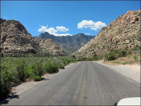 Start of Willow Springs Road (view NW) |
Watch Out Other than the standard warnings about driving in the desert, ...this is a fairly safe road. Lost Creek is a 15-mph zone, so drive carefully and watch for pedestrians crossing the road. While out, please respect the land and the other people out there, and try to Leave No Trace of your passage. If the parking lots are full, drive on and plan to come back some other time; don't flatten more vegetation with your car. Also, even though this road is short, be sure to bring what you need of the 10 Hiking Essentials. Getting to Willow Springs Road From Las Vegas, drive out West Charleston Blvd to Red Rock Canyon National Conservation Area. Pay the fee and drive around the one-way Scenic Loop Road for 7.2 miles to Willow Spring Road, on the right, and which is 0.5 miles past Mile Marker 7. |
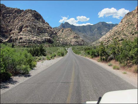 Descending towards Lost Creek Trailhead, on the left (view NW) |
The Road From the Scenic Loop Road (Table 1, Site 0526), Willow Springs Road turns right and runs northwest. The road runs up over a low hill, then drops gradually to Lost Creek Trailhead, on the left at 0.2 miles out. Watch carefully for pedestrians stepping into the crosswalk from behind bushes on the right. Continuing, the road parallels Red Rock Wash, on the left, as the canyon bends lightly to the right. Shortly, the picnic area is visible on the right. The road passes the lower restroom (accessible) facility, then arrives at the main Willow Springs Picnic Area. The pavement ends at the Willow Springs Trailhead, about 0.6 miles out. There are many picnic tables (some under the cottonwood trees) and another restroom facility. The actual spring is under the trees near the edge of the cliffs. Technically, Willow Spring Road continues as a very rough dirt road, however, the name changes to Rocky Gap Road. Most hikers stop near the end of the pavement. For photos of the return, see Willow Springs Road Return. |
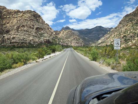 Approaching Lost Creek Trailhead; note 15 mph zone (view NW) |
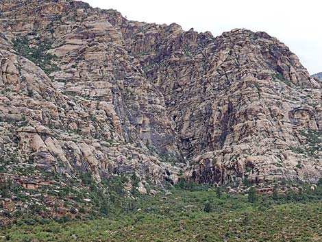 Lost Creek Falls on a flashflood day (view NW) |
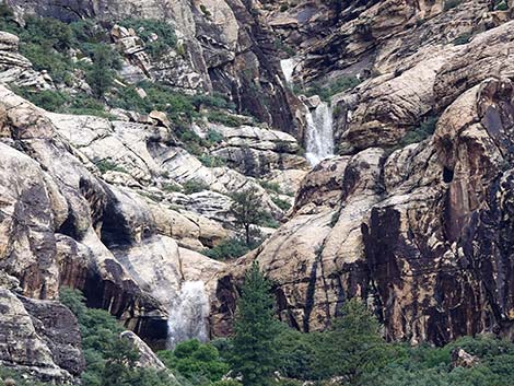 Lost Creek Falls on a flashflood day (view NW; zoom) |
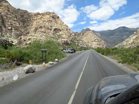 Approaching Lost Creek Canyon Trailhead (view NW) |
 Lost Creek Canyon Trailhead sign (view N) |
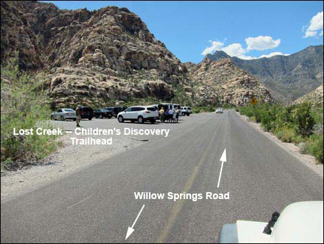 Lost Creek Canyon Trailhead (view NW) |
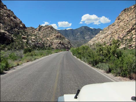 Continuing up Willow Springs Road (view NW) |
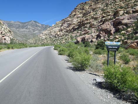 Approaching Willow Springs Picnic Area sign (view NW) |
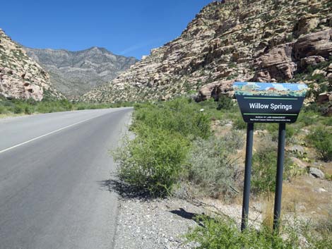 Willow Springs Picnic Area sign (view NW) |
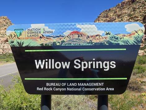 Willow Springs Picnic Area sign (view NW) |
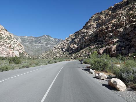 Willow Springs Road approaching the picnic area (view NW) |
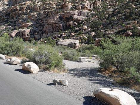 First view of the picnic area (view N) |
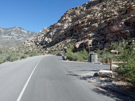 Willow Spring Rd approaching reserved accessible parking (view NW) |
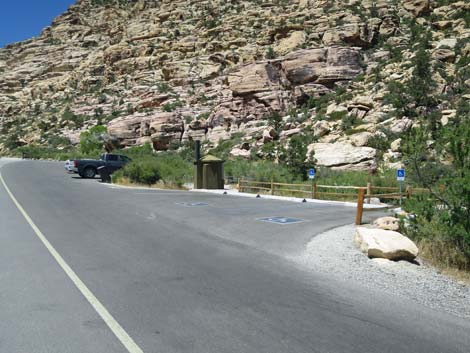 Willow Spring Road at reserved accessible parking (view N) |
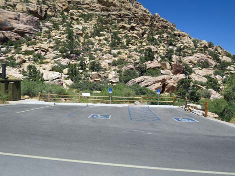 Reserved accessible parking (view NE) |
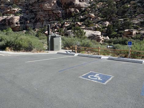 Reserved accessible parking (view NE) |
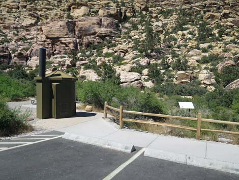 Accessible toilet at reserved parking (view NW) |
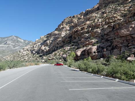 General picnic area parking (view NW) |
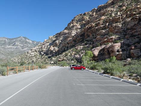 General picnic area parking (view NW) |
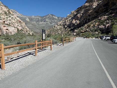 Willow Spring Rd approaching Willow Spring Trailhead West (view NW) |
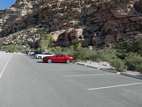 General picnic area parking (view NW) |
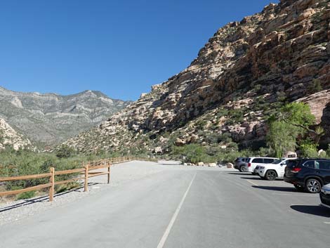 General picnic area parking (view NW) |
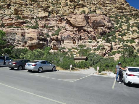 General picnic area parking and vault toilet (view NE) |
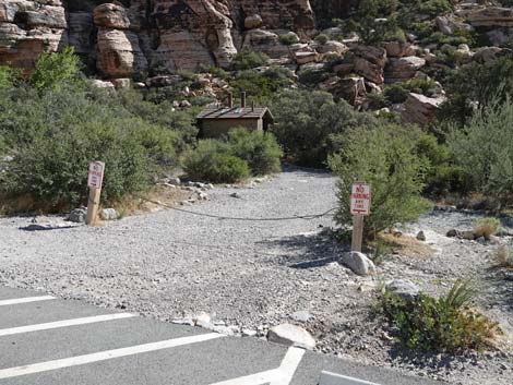 Gate at service road to vault toilet (view NE) |
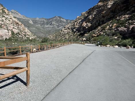 Approaching the end of the pavement (view NW) |
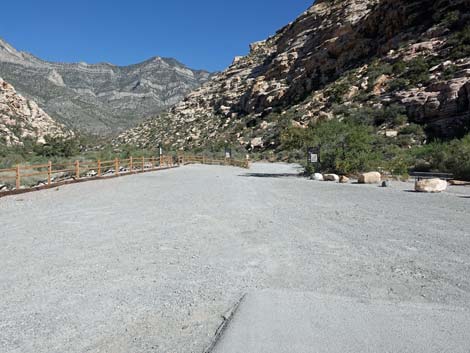 Gravel parking area past the pavement (view NW) |
Table 1. Highway Coordinates based on GPS data (NAD27; UTM Zone 11S). Download Highway GPS Waypoints (*.gpx) file.
| Site | Location | UTM Easting | UTM Northing | Latitude (N) | Longitude (W) | Elevation (ft) | Verified |
|---|---|---|---|---|---|---|---|
| 0181 | Willow Springs Picnic Area | 635136 | 4002648 | 36.16098 | 115.49765 | 4,575 | Yes |
| 0526 | Scenic Loop Rd at Willow Spr Rd | 635898 | 4002111 | 36.15603 | 115.48927 | 4,441 | Yes |
| 0527 | Lost Creek Trailhead | 635573 | 4002262 | 36.15744 | 115.49285 | 4,474 | Yes |
Happy Hiking! All distances, elevations, and other facts are approximate.
![]() ; Last updated 240330
; Last updated 240330
| Backroads | Hiking Around Las Vegas | Glossary | Copyright, Conditions, Disclaimer | Home |