
Southern Nevada Wilderness Areas

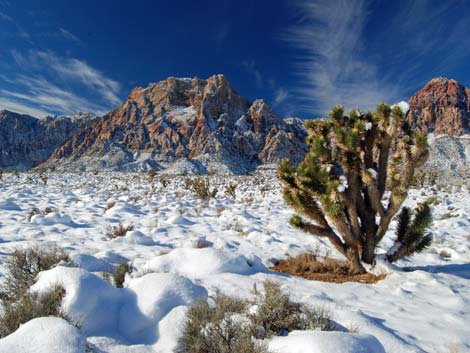 |
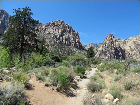
Overview Rainbow Mountain Wilderness Area is a medium-sized (24,997 acres) area that includes the red and white sandstone cliffs, rugged canyons, and limestone peaks that make up the western viewscape of Red Rock Canyon National Conservation Area. Elevations range from about 4,100 feet at the base of the escarpment to 7,070 feet at the summit of Wilson Mountain. The summit of Rainbow Mountain is at 6,924 feet. The sandstone cliffs have been overthrust by gray carbonate rocks that form the top of the ridge behind the escarpment (the crest of the Spring Mountain Range). The base of the cliffs are in typical middle-elevation Mojave Desert Scrub, but at the mouths of some canyons (for example, Pine Canyon), ponderosa pine can be found. |
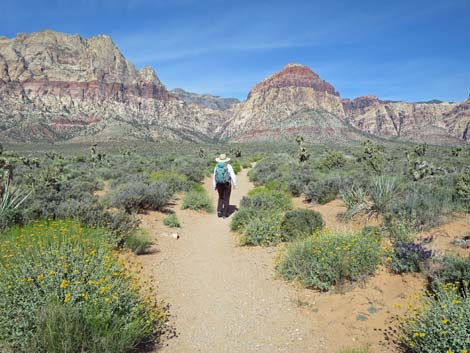 |
The sandstone summits typically are barren, but behind them, the carbonate substrate provides footing for an extensive pinyon-juniper forest. There is a considerable amount of rock art, including petroglyphs and pictographs, in the area. Springs and canyon potholes provide water for wildlife. If you hike in wilderness areas, help protect them by learning about and reporting noxious and invasive weeds. Link to map of the wilderness area. |
 |
Location Rainbow Mountain Wilderness Area is located about 20 air-miles west of downtown Las Vegas and forms part of the western boundary of the Las Vegas Valley. Boundaries The western boundary generally follows the base of the Red Rocks cliffs, from the Red Rock Summit Road on the north to Highway 160 on the south. The southern boundary lies north of Highway 160, running north of the town of Mountain Summit. The western boundary is Lovell Canyon Road. The northern boundary follows Red Rock Summit Road. |
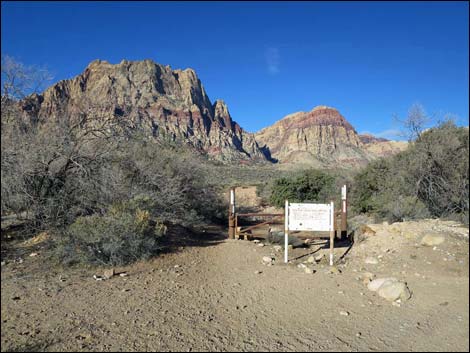 |
Access Access to the wilderness area is from the paved roads on the east, south, and west sides, and from the rough 4WD road on the north. Primary access is from the east through Red Rock Canyon National Conservation Area. |
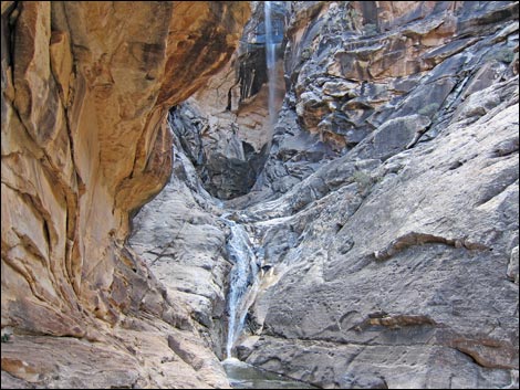 |
Terrain The wilderness area is marked by the striking vertical sandstone cliffs that form the Red Rocks Escarpment. The cliffs are cut by deep and narrow canyons (often nearly vertical walls and about 3,000 feet deep) that separate the cliffs into a series of peaks. Above and behind the sandstone cliffs, limestone of the Keystone Overthrust forms the crest of the Spring Mountains. Elevations range from about 4,100 feet in the canyon bottoms to 7,000 feet at the top of the escarpment. On the west side of the crest, the hillsides are steep and cut my several canyons, but they are more rounded than those on the east side; the landform is hillsides rather than cliffs, but narrow bands of vertical limestone give evidence to the underlying geology. Elevations along the crest run from about 7,500 feet in the north to about 6,000 feet in the south. |
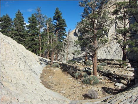 |
Habitat Type The large range in elevation (about 3,500 feet) provides for a variety of life zones, ranging from middle-elevation Mojave Desert Scrub at the lowest elevations to Juniper-Pinyon Woodlands with a bit of ponderosa pine at higher elevations. In the drainages, where cold air spills down the canyons at night, ponderosa pine and other species more typical of the higher elevations can be found growing adjacent to creosote bush and other species typical of the desert flats. In the mouths of the canyons, species such as manzanita, silk tassel, bitterbrush, apache plume, and shrub live oak are common. |
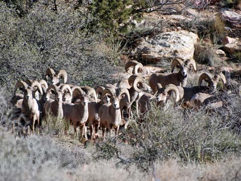 |
Wildlife The diversity of elevations and vegetation types provides habitat for numerous species of mammals, including desert bighorn sheep, mule deer, mountain lion, bobcats, coyote, gray fox, kit fox, and a plethora of bat and rodent species (for example, rock squirrel, white-tailed antelope squirrel, Merriam's kangaroo rat). Reptiles and birds are equally diverse. The higher elevations provide nesting habitat for neotropical migrants. Water is available in sandstone potholes and springs. |
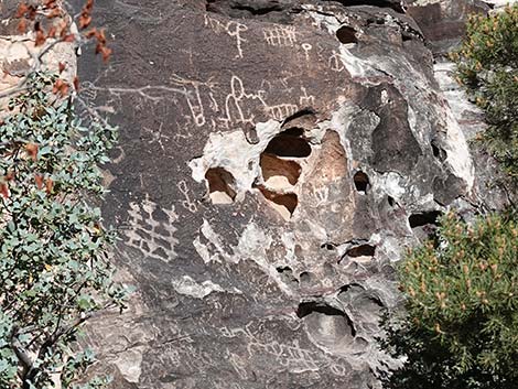 |
Archaeology Archeological sites occur throughout the area, including rock art panels (pictographs and petroglyphs) and agave roasting pits. |
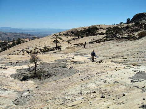 |
Geology The geology is complex. The sandstone cliffs are Jurassic sandstones where cross-bedding reveals the origin as sand dunes. The carbonate cap is mostly Cambrian and later limestones overthrust on the sandstone. The Nevada Bureau of Mines and Geology publishes a nice book, "Geologic Tours in the Las Vegas Area, Expanded Edition" [ISBN 1-888035-07-2; about $20] that details the story in a format that is interesting and readable for lay people. |
Note: All distances, elevations, and other facts are approximate.
![]() ; Last updated 240331
; Last updated 240331
| Wilderness Areas | Hiking | Guide Services | Glossary | Copyright, Conditions, Disclaimer | Home |