Hiking Around Las Vegas, Red Rock Canyon National Conservation Area
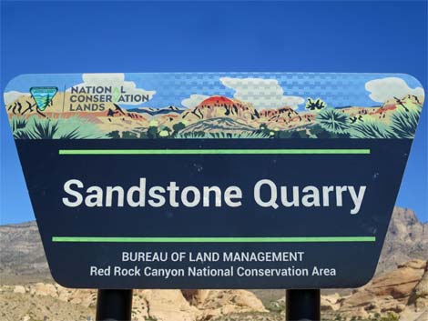 |
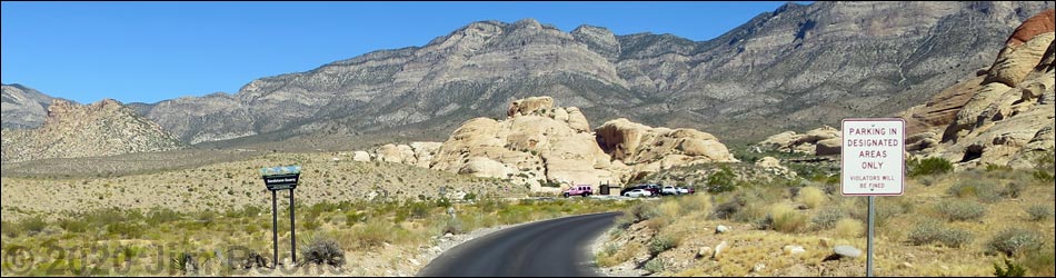
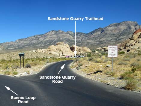
Sandstone Quarry Trailhead is located along the Scenic Loop Road in Red Rock Canyon National Conservation Area, about 50 minutes west of Las Vegas.
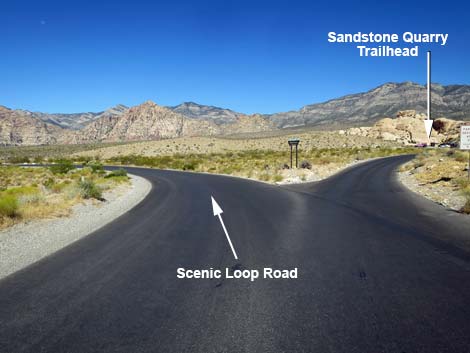
From town, drive out to Red Rocks. From West Charleston Blvd at the Scenic Loop Road (Table 1, Site 0519), turn right and drive north for 0.2 miles to the entrance station (Site 0855). Pay the fee, then drive around the one-way Scenic Loop Road to Sandstone Quarry Road (Site 874), which is about 0.75 miles past Mile Marker 2. Turn right onto Sandstone Quarry Road and drive north for 0.1 miles to the parking area (Site 0136) at the end of the road. Park here; this is the trailhead. Link to trailhead map. |
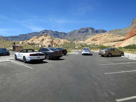
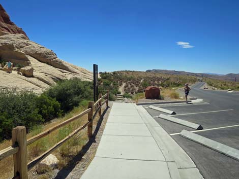
 Northbound Trailhead (view N) |
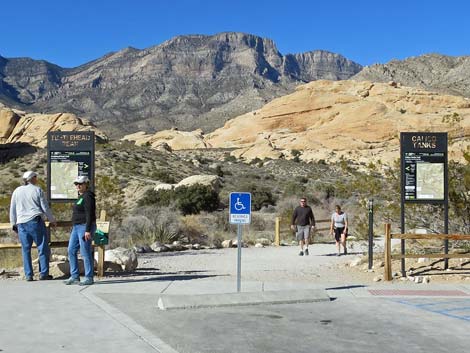
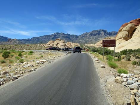
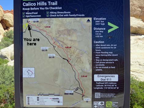
The Sandstone Quarry Trailhead Parking area serves two hiking trail systems. From the north end of the parking area, the northbound trailhead serves the Turtlehead Peak, Calico Tanks, Calico Hills Loop, and Grand Circle trails, as well as the route to Gray Cap Peak. From the southeast corner of the parking lots, the southbound trailhead serves the Calico Hills and Grand Circle trails. The parking area also serves a number of off-trail hikes, sandstone cliffs, and several miles of moderate to difficult hiking. Trails: Grand Circle Trail, Turtlehead Peak Trail, Gray Cap Peak, Calico Hills, Calico Hills Loop, Calico Tanks. |
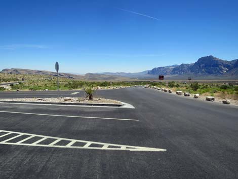
 Scenic Loop Road at Sandstone Quarry Trailhead Road (view N) |
 Sandstone Quarry Trailhead Road (view NW from Scenic Loop Road) |
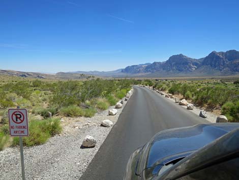
 Sandstone Quarry access road (view NW) |
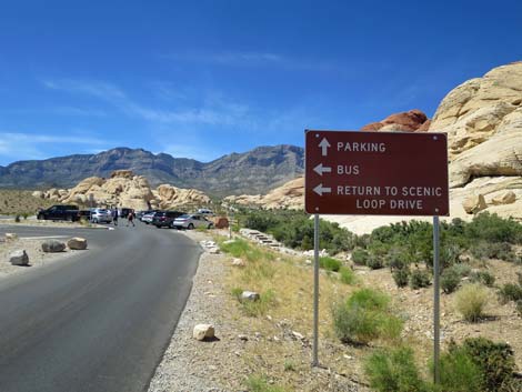 Sign: where to park or exit |
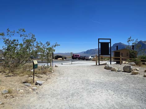
 Entering the parking area (buses to the left) |
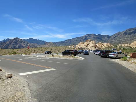
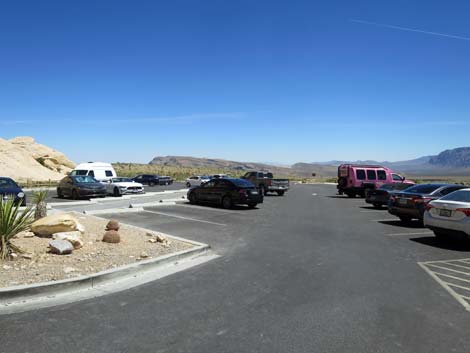
 General parking |
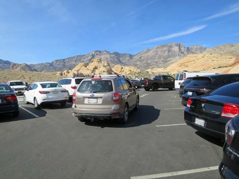 General parking |
 General parking |
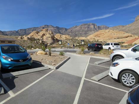
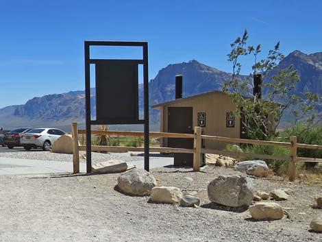
 Reserved parking and northbound trailhead (view NW) |
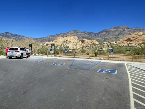 Reserved parking and northbound trailhead (view N) |
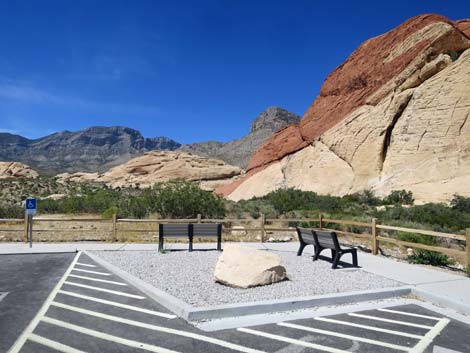 Benches where visitors can sit and relax |
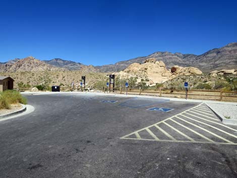
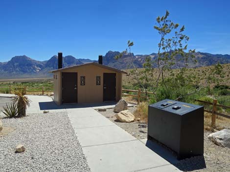 Vault toilets adjacent to the northbound trailhead (view SW) |
Northern Trailhead
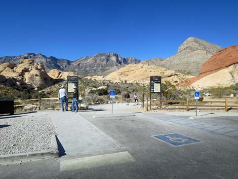 Northbound trailhead (view N) |
Northbound Trailhead (view N) |
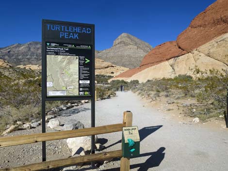 Turtlehead Peak trailhead sign (view N) |
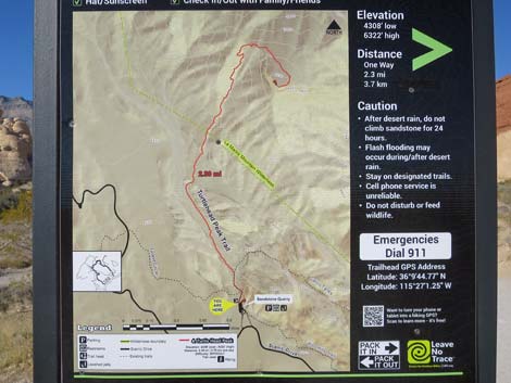 Turtlehead Peak trailhead sign (close-up, view N) |
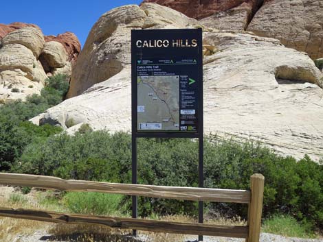
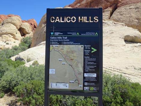
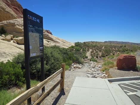
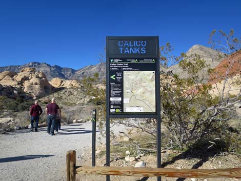 Calico Tanks trailhead sign (view N) Calico Tanks trailhead sign (view N) |
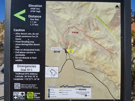 Calico Tanks trailhead sign (close-up, view N) |
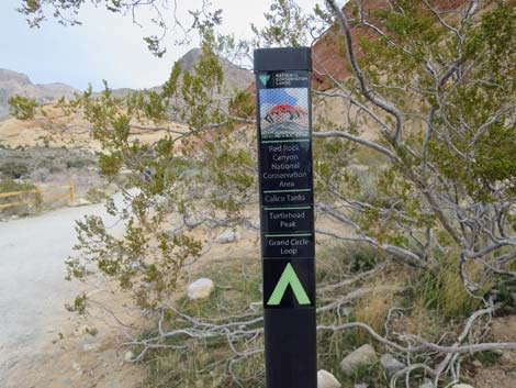 Calico Tanks, Turtlehead Peak, and Grand Circle trail sign (view N) |
 More to come ... |
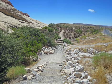
 Returning from the northbound trails (view S) |
 Returning from the northbound trails (view S) |
Southern Trailhead
 Southbound trailhead (view E) |
 Southbound trailhead (view SE) |
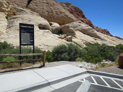
 Southbound trailhead sign (view E) |
 Southbound trailhead sign (view E) |
 Southbound trailhead sign (view E) |
 Approaching southbound trailhead from general parking area (view E) |
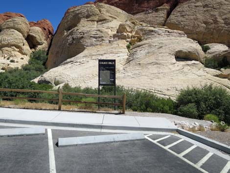
 Southbound trailhead and start of Calico Hills Trail (view S) |
 Starting on Calico Hills Trail (view S) |
Exiting the Trailhead Area
 Exiting the parking lot (view S) |
 Exiting the parking lot (view S) |
 Sandstone Quarry exit road (view S) |
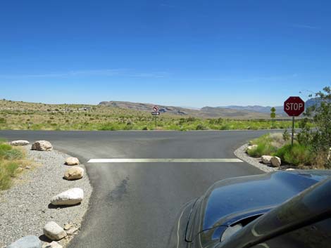 Sandstone Quarry exit road at Scenic Loop Drive (view S) |
Table 1. Highway Coordinates (NAD27; UTM Zone 11S). Download Highway GPS Waypoints (*.gpx) file.
| Site # | Location | Latitude (N) | Longitude (W) | UTM Easting | UTM Northing | Elevation (feet) | Verified |
|---|---|---|---|---|---|---|---|
| 0136 | Sandstone Quarry Parking | 36.16225 | 115.44935 | 639478 | 4002858 | 4,370 | Yes |
| 0519 | Charleston at Scenic Loop Entrance | 36.13161 | 115.42048 | 642131 | 3999501 | 3,681 | Yes |
| 0855 | Scenic Loop Entrance Station | 36.13252 | 115.42282 | 641918 | 3999598 | 3,682 | Yes |
| 0874 | Scenic Loop Rd at Sandstone Quarry | 36.16050 | 115.44823 | 639582 | 4002665 | 4,280 | Yes |
Happy Hiking! All distances, elevations, and other facts are approximate.
![]() ; Last updated 240330
; Last updated 240330
| Hiking Around Red Rocks | Hiking Around Las Vegas | Glossary | Copyright, Conditions, Disclaimer | Home |