
Hiking Around Las Vegas, Arrow Canyon Range, Arrow Canyon Wilderness Area

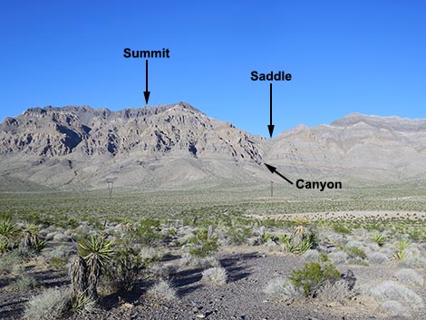 Big Arrow Peak (view E from trailhead) |
Overview This route in the rarely visited Arrow Canyon Wilderness Area leads to the highest point in the Arrow Range. The name "Arrow Peak" is claimed by a slightly lower peak (Peak 5,205), so I refer to this peak as "Big Arrow Peak." This strenuous route runs only 2.9 miles to the summit, but it climbs some 2,550 feet in about 1.7 miles. The route crosses the flats, ascends the bajada, and climbs a steep, rocky canyon to a saddle on the crest of the range. It then follows a steep ridge to the summit, passing through 3rd-class cliffs along the way. This stout route is not for the faint of heart, but views from the ridge and the summit are spectacular. Link to map. |
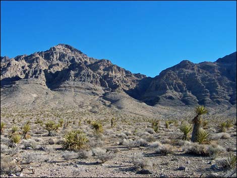 Climbing the bajada (view E) |
Watch Out Other than the standard warnings about hiking in the desert, ... this hike requires a steep, exposed climb through a band of 350-ft high cliffs to gain the summit ridge. By the time you get to the base of these cliffs, you will already be tired, so be careful climbing the 3rd-class cliffs and don't knock rocks on your hiking partners. This is a wilderness area, so while hiking, please respect the land and the other people out there, and please try to Leave No Trace of your passage. There are no cairns on this route; please don't leave any new ones. Also, this is a long hard hike, so be sure to bring the 10 essentials. |
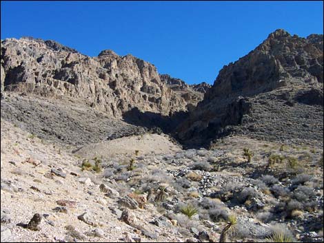 Base of the canyon (view east) |
Getting to the Trailhead This hike is located on the west side of the Arrow Range, about 45 minutes northeast of Las Vegas. From Las Vegas, drive out to the west side of the Arrow Range. From the intersection of Interstate-15 and Highway 93 (Table 1, Site 0674), drive north on Highway 93 for 20.3 miles. Stop on a little ridgetop on the east side of the highway (Site 0876). Park well off the pavement. Park here; this is the trailhead. The Highway Patrol probably will check your vehicle while you are away, so when you return, expect to find a notice on your antenna about abandoned vehicles. |
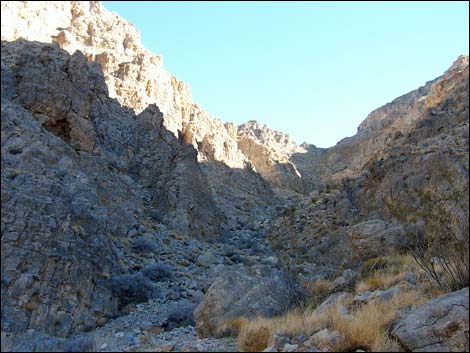 High in the canyon (view E) |
The Hike From the trailhead (Table 2, Waypoint 01), the route climbs over the highway fence and runs east-northeast towards the base of a canyon that can be seen leading to the crest, crossing a powerline road (Wpt. 02) along the way. Staying just north of the wash, the hike up the bajada is a bit easier. The vegetation on the flats and bajada is typical Mojave Desert Scrub, dominated by creosote bush and white bursage, but with lots of other species (including mojave yucca and cactus) mixed in. Much of the bottom of the valley is covered with cryptogamic (biological soil) crust, and to the extent that we can, we should avoid walking on the crust. |
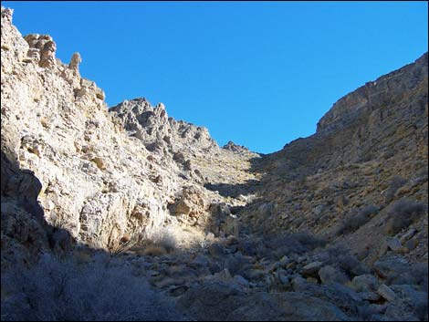 High in the canyon (view E) |
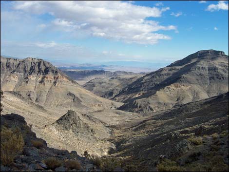
The crust is a complex mixture of cyanobacteria, green algae, lichens, mosses, microfungi, and other bacteria. The cyanobacteria and microfungi weave a network of filaments through the top few millimeters of soil and exuded polysaccharides that bind loose soil particles together, thereby stabilizing and protecting the soil surface from erosion. The roughened and stabilized surface then provides microsites for lichens and mosses to develop in the spaces between shrubs that otherwise would be bare. The little peaks (1-inch high) in the crust can take centuries to develop. The route eventually enters the Arrow Canyon Wilderness Area (Wpt. 03), and shortly reaches the mouth of the canyon (Wpt. 04). The runs runs eastward and up the canyon to the saddle on the crest (Wpt. 05) of the Arrow Canyon Range. The canyon is steep and rocky, but there are some bighorn sheep trails along the south side of the canyon that make it easier for short sections. In the canyon, the vegetation changes from typical Mojave Desert Scrub lower down to blackbrush mixed with other shrubs in the middle, to mostly blackbrush at the top. |
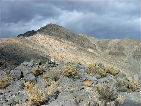 |
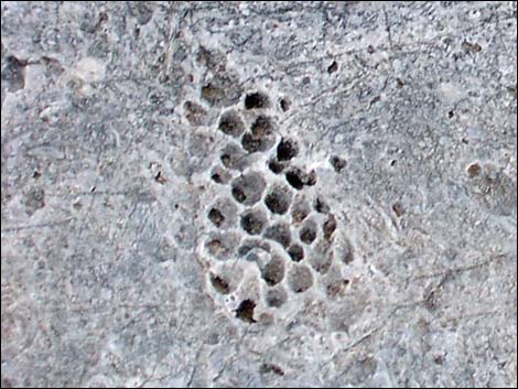
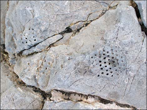
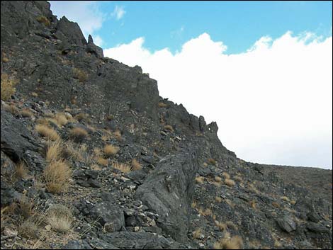
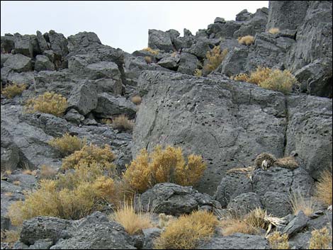
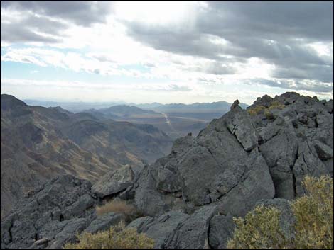
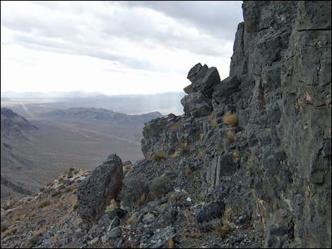
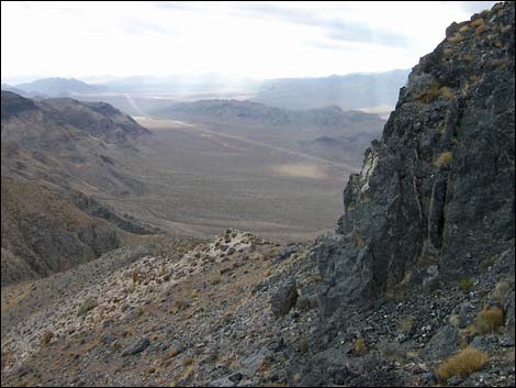
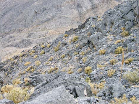
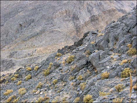
From the saddle, the route follows the ridge northward through bands of broken gray limestone and white quartzite cliffs to the base of the black cliffs (Wpt. 06) that form the summit ridge. There is a narrow band of light-gray limestone between the white and black cliffs with crinoid and coral fossils. I also saw some large (2-3 inch diameter) snail fossils in a rock low in the canyon, but I found no other fossils along this route. There are several bighorn sheep "beds" and lots of scat along the ridge. I didn't see any sheep, but there must be a large population in this range. From the base of the black cliffs, the route angles up and across the broken cliffs trending slightly to the east. Other routes surely would go, as would a scree gully off to the east, but this was a reasonable and direct route to the summit ridge (Wpt. 07). |
 |
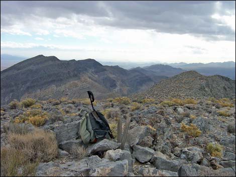
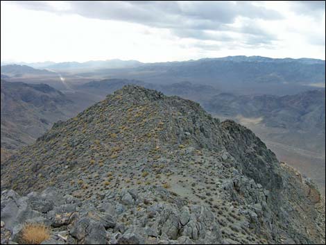
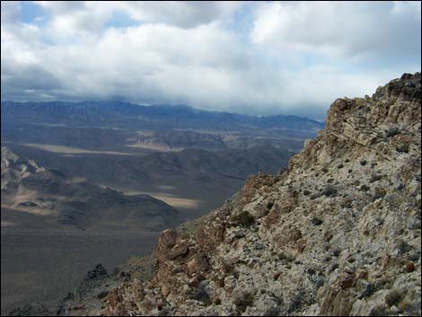
After gaining the summit ridge, it is mostly a walk to the summit. There is one band of gray limestone cliffs that look like the summit, but these are easily passed on the exposed northwest side. Don't fall here, as you might end up down by the highway. From the top of these little cliffs, it is a short walk through the blackbrush to the summit (Wpt. 08). Be sure to sign the summit register, which was placed here about 45 years ago by the Sierra Club. To get back to the trailhead, retrace your route. Be careful descending the black cliffs. |
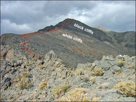 Black and white cliffs (view N from saddle) |
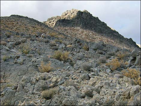 Approaching the black and white cliffs (view NE) |
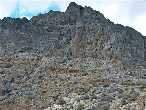 Above white cliffs, approaching black cliffs (view NE) |
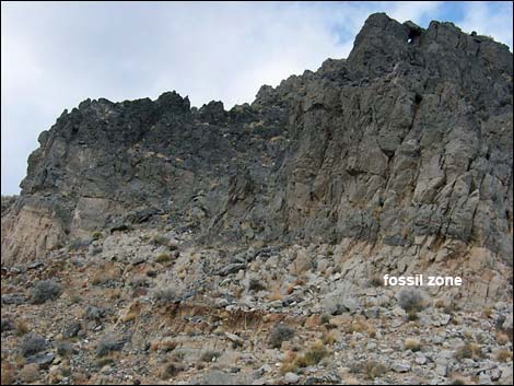 Base of the black cliffs (view NE) |
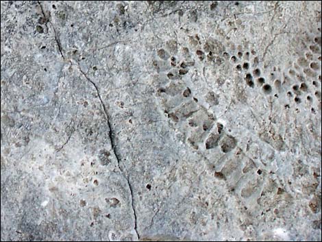 Odd fossils |
 Odd fossils |
 Odd fossils |
 Climbing into the black cliffs (view NE) |
 Near top of black cliffs (view N and up) |
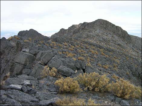 Summit ridge (view NE from top of black cliffs) |
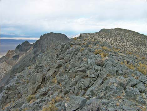 Summit Ridge (view NE) |
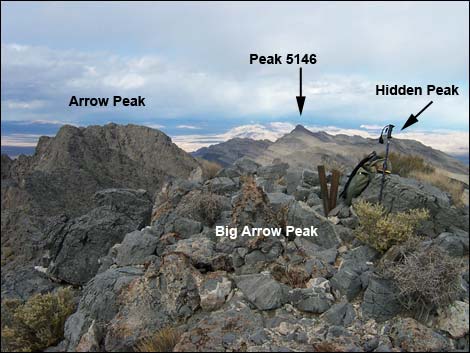 Crest of the Arrow Range (view north from summit) |
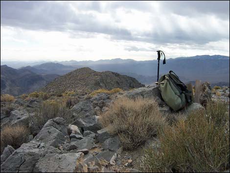
Summit Views
 |
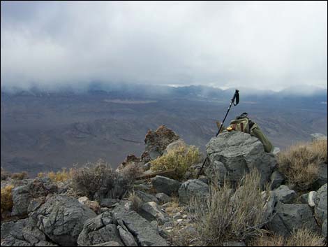 |
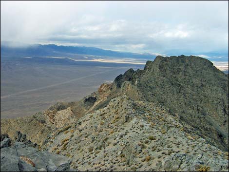 |
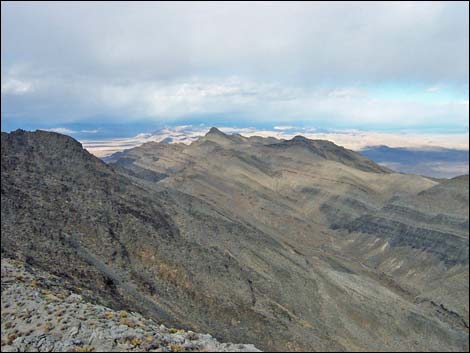 |
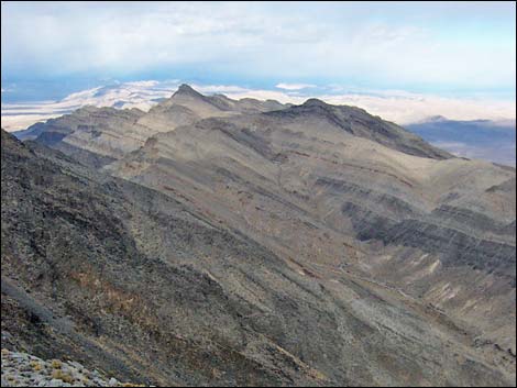 |
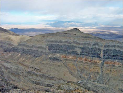 |
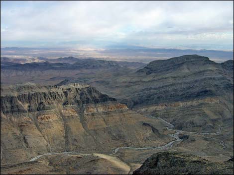 |
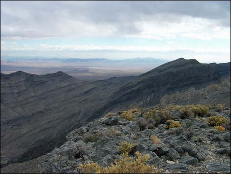 |
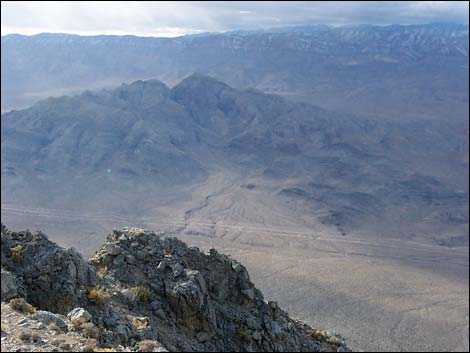 |
 |
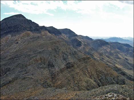
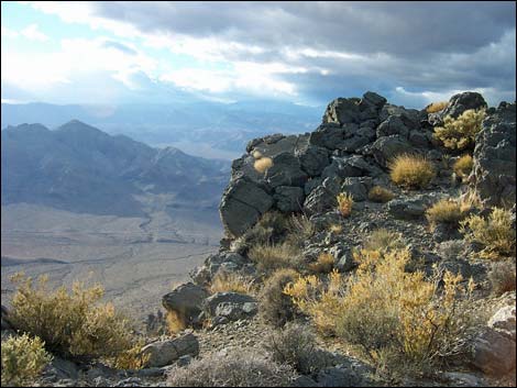
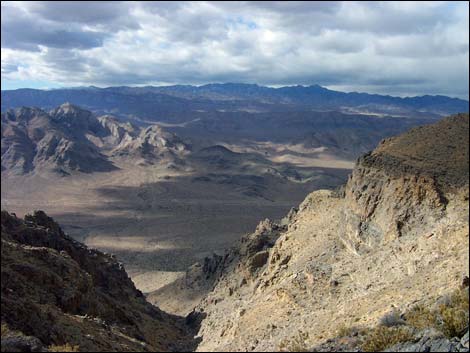
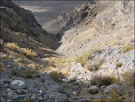
The Descent
 |
 |
 |
 |
 |
 |
 |
 |
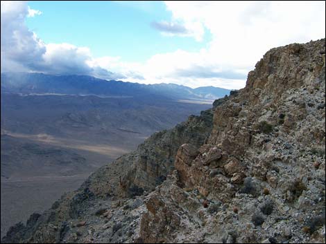 |
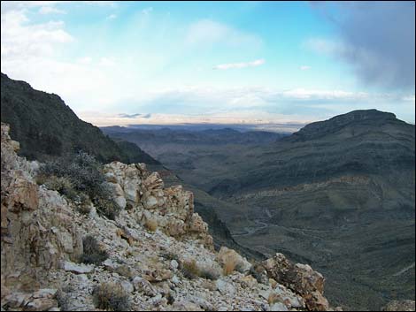 |
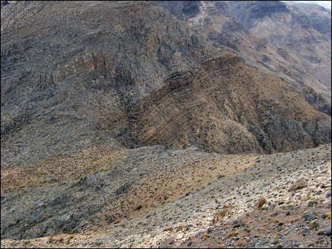 |
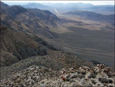 |
 |
 |
 |
 |
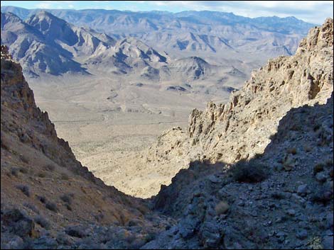 |
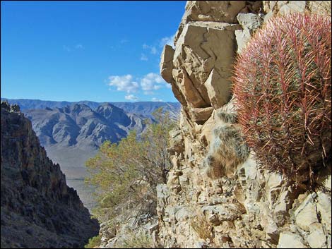 |
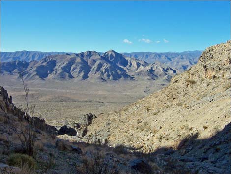 |
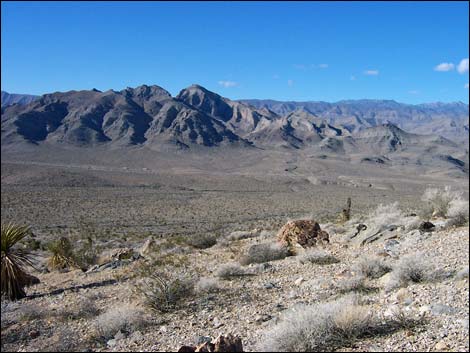 |
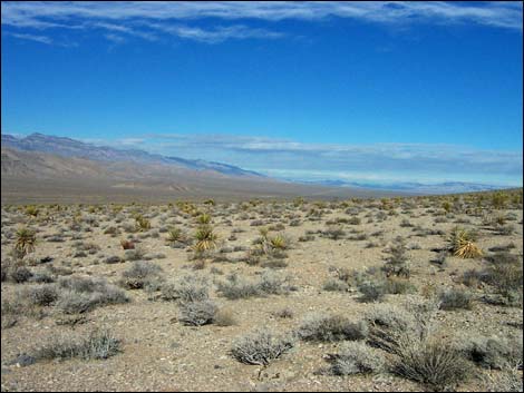 Back on the desert flats (view NW) |
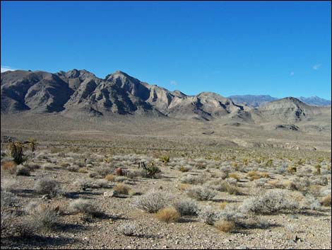 Approaching Highway 93 (view W) |
Table 1. Highway Coordinates based on GPS Data (NAD27; UTM Zone 11S). Download highway GPS waypoints (gpx) file.
| Site | Location | UTM Easting | UTM Northing | Latitude (N) | Longitude (W) | Elevation (ft) | Verified |
|---|---|---|---|---|---|---|---|
| 0876 | Hwy 93 at Big Arrow Parking | 685970 | 4057799 | 36.64944 | 114.91958 | 2,659 | Yes |
| 1601 | Arrow Powerline Rd at BA Trailhead | 686767 | 4057935 | 36.65051 | 114.91064 | 2,707 | Yes |
Table 2. Hiking Coordinates and Distances based on GPS Data (NAD27; UTM Zone 11S). Download hiking GPS waypoints (gpx) file.
| Wpt. | Location | UTM Easting | UTM Northing | Elevation (ft) | Point-to-Point Distance (mi) | Cumulative Distance (mi) | Verified |
|---|---|---|---|---|---|---|---|
| 01 | Trailhead | 685971 | 4057800 | 2,659 | 0.00 | 0.00 | GPS |
| 02 | Powerline Road | 686760 | 4057934 | 2,714 | 0.53 | 0.53 | GPS |
| 03 | Wilderness Area Boundary | 687864 | 4058124 | 3,105 | 0.73 | 1.26 | GPS |
| 04 | Mouth of Canyon | 688021 | 4058183 | 3,211 | 0.11 | 1.37 | GPS |
| 05 | Crest of the Ridge | 688935 | 4058390 | 4,316 | 0.66 | 2.03 | GPS |
| 06 | Base of Black Cliffs | 688760 | 4058806 | 4,791 | 0.34 | 2.37 | GPS |
| 07 | Summit Ridge | 688806 | 4059156 | 5,131 | 0.30 | 2.67 | GPS |
| 08 | Big Arrow Summit | 688898 | 4059410 | 5,210 | 0.19 | 2.86 | GPS |
| 01 | Trailhead | 685971 | 4057800 | 2,659 | 2.86 | 5.72 | GPS |
| Arrow Canyon Range | Hiking Around Las Vegas | Glossary | Copyright, Conditions, Disclaimer | Home |