
Hiking Around Las Vegas, Zion National Park

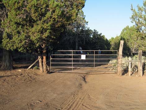 Orderville Canyon Trailhead and parking |
Overview Orderville Canyon is a great hike that starts in the high-country northeast of Zion Canyon, runs down spectacular narrow canyons (rope work required) for about 9-1/2 miles, then follows the Virgin River for about 3 miles before reaching the end of the road in Zion Canyon proper. Use-trails along some parts of the route permit quick hiking, but most of the route is slow hiking in the water, and it takes a good day of hiking at a good pace to complete the route. Hikers will walk in the water, and the sooner they stop making a distinction between water and places to walk, the sooner they will find the walking easy and the route enjoyable. Link to map. |
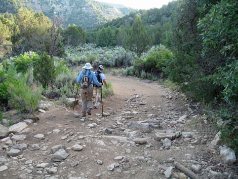 Hikers on dirt road descending to canyon bottom |
The logistics of this hike are somewhat difficult. Permits are required to hike through the canyon, and the availability of permits depends, in part, on the weather forecast for the day of the hike. The rangers give out permits late in the afternoon on the day before the hike, so you have to arrive in the afternoon on the day before the hike. Check the park website for details. Also, this is a one-way route, so you need to arrange a vehicle shuttle of some sort. The concessionaire runs a shuttle service for about $20 per person; contact them for details. |
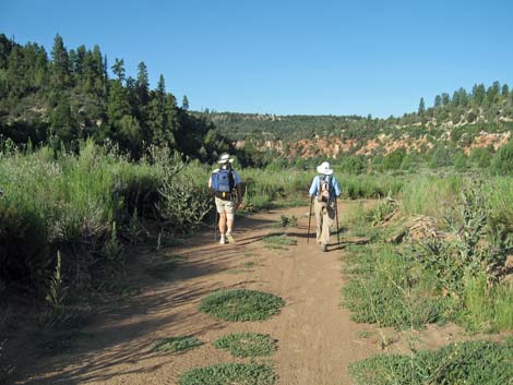 Hikers on road in canyon bottom |
Watch Out Other than the standard warnings about hiking in the desert, ...this is a long route with no real way to turn back after you get dropped off and your ride leaves. Be sure that you are up to the route before getting started. Water levels and water temperatures make a big difference on this route. This route probably is best during late summer when air temperatures are high (near 100 degrees), and the water level is low. Thunderstorms can bring flash floods. Be aware of the weather and plan alternate hikes in the area in case the weather forecast is bad when you arrive. Seek refuge on the highest ground possible if you think that flash floods are possible. Permits are required to hike through the narrows, and the availability of permits depends, in part, on the weather forecast. |
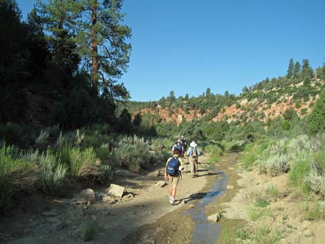 Hikers along Orderville Creek |
Ropes are necessary on this route, as two tall boulders block the canyon. I took a 55-ft climbing rope, which was more than enough for a double-rope rappel. Don't jump off the boulders -- the area is too remote to risk a broken ankle. Walking sticks (preferably two trekking poles) are almost a necessity on this route. Most of the route is in the water, which generally is too murky to see the bottom. I wore running shoes and was happy with my choice. Plan to get wet, and pack your camera and other sensitive gear in waterproof bags. Hikers must swim on this route. We will take a life-jacket next time. GPS devices don't work in narrow sections of the canyon. While hiking, please respect the land and the other people out there, and try to Leave No Trace of your passage. Also, this is a long hike in a remote area where rescue would be difficult, so be sure to bring the 10 Essentials. |
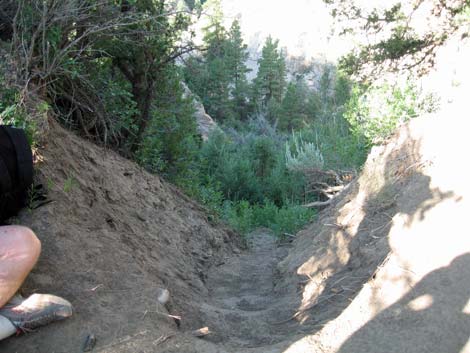 Trench leading to "dirt cliff" |
Getting to the Trailhead This hike is located in Zion National Park, about 3 hours northwest of Las Vegas. From town, drive out to Zion National Park. From the Visitor Center (Table 1, Site 0863), drive (or hire a shuttle) north on Highway 9 to the east park entrance (about 25 minutes). Continue east, outside the park, for about 3 miles to North Fork Road (Site 0866), just east of mile marker 4. Turn left onto North Fork Road, which is paved and posted at 35 mph, and drive north. The pavement ends about 5 miles out, but the road continues as a good (when dry), graded dirt road. Several side roads intersect North Fork Road, but always continue "straight" past side roads (one side road was big enough to be a major road, but it clearly is a right turn). Drive north on North Fork Road for 11.3 miles to a turn-off to the left (Site 1181). Turn left and drive west for 0.2 miles to a gate that blocks the road and a parking area (Site 1183). Park here; this is the trailhead. |
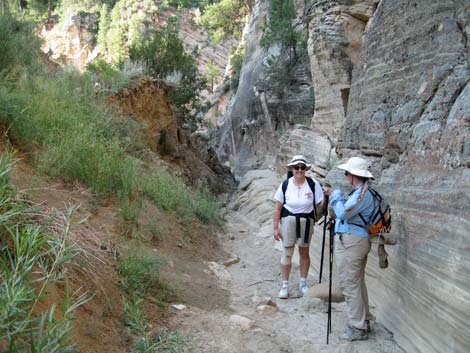 Base of dirt cliff in bottom of canyon |
The Hike The description of this route is unusually simple: from the trailhead, walk downhill and downstream for 8-10 hours until you hit civilization. There are, however, many details. From the trailhead (Table 2, Waypoint 01), the route follows the gated road down the hillside, generally in a northwesterly direction, to the bottom of the canyon (Wpt. 02). The route continues along the dirt road until it ends (Wpt. 03), about 2.27 miles from the trailhead. Continuing in the wash, the route follows cow-trails and use-trails along the creek until reaching the top of a high pour-over, which is bypassed (Wpt. 04) on the left by descending a tall dirt cliff on a steep, loose trail that might be quite nasty if wet and muddy. |
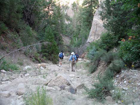 |
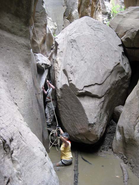
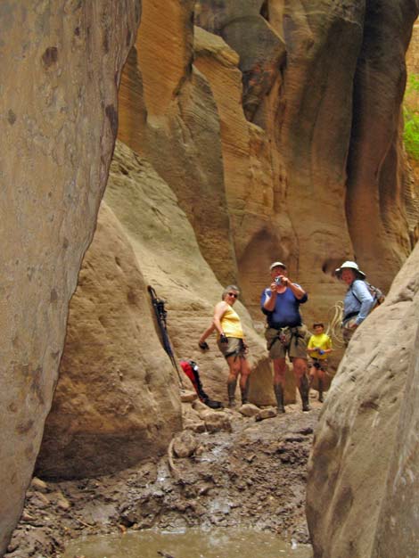
In the bottom of the canyon below the pour-over (Wpt. 05), the canyon narrows and there are several miles of dry-wash hiking. Parts of the canyon are wide and sunny, while others are amazingly deep, dark, and narrow. After climbing over and around many rocks and boulders, hikers finally arrive at one too difficult to get around and too high to jump off (Wpt. 06). This is the First Obstacle: a large boulder that can be bypassed by a short rappel using two bolts on the north wall. Depending on the state of the mud, this spot can enter one's personal hiking folklore. |
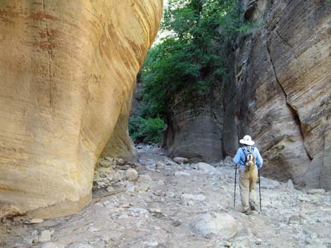
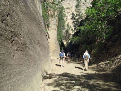 Finally, hikers in a narrow-ish canyon |
The route continues down the canyon. Parts are wet, parts are dry. Parts are wide and open, parts are narrow and dark. Everything is spectacular. At about 7.9 miles out, the route passes a small spring on the north side where a major side canyon intersects Orderville Canyon (Wpt. 07). It might be possible for hikers to find clear water here. Not long after the spring, hikers pass under an enormous boulder suspended overhead in the canyon. This is the introduction to the Second Obstacle; another enormous boulder blocking the canyon (Wpt. 08). This obstacle is passed by a short rappel using two bolts on the south wall. For us, the rappel ended in neck-deep water (at least it was clean). |
 |
Continuing down the canyon, the creek flows stronger, and the water often is deeper. Numerous small waterfalls are passed by climbing down, and one by jumping into the plunge pool. Nearing Moki Steps (Wpt. 09), day-hikers from down river start appearing, and then after passing the steps, it seems lots of people are in the canyon, but all technical difficulties have been passed. Shortly, the narrow Orderville Canyon merges with wider Virgin Canyon (Wpt. 10). Here (Wpt. 10), the increase in water volume is matched by the increase in day-hiker volume. The route turns down river and runs down the Virgin River. Hikers sometimes have use-trails on the edge, otherwise they just wade down the river. Eventually the route reaches the end of the Riverside Trail (Wpt. 11), which is followed to the Temple of Sinawava Trailhead (Wpt. 12) and the shuttle bus. |
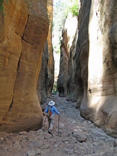 In the canyon, there are several miles of dry-wash hiking |
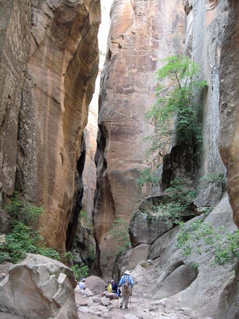 Deep, narrow, and dry canyon bottom |
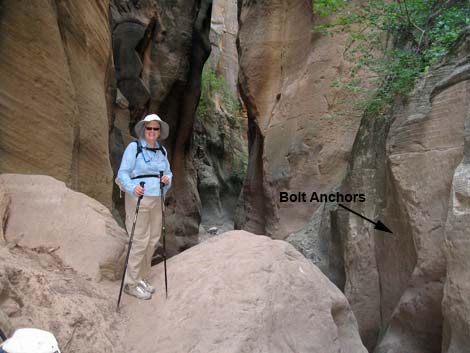 First Obstacle and bolt anchors |
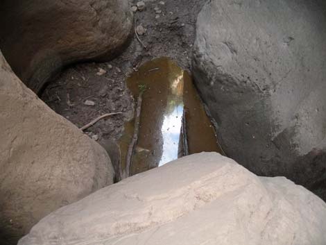 Mud pit below First Obstacle |
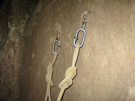 2-bolt anchor at First Obstacle |
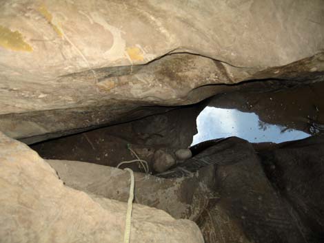 Rope hanging into mud at First Obstacle |
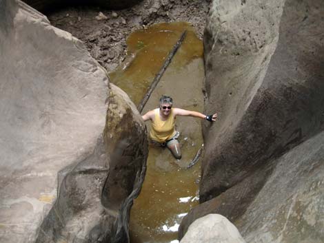 Preparing to safe-guard young Ben's rappel, this is one tough mom |
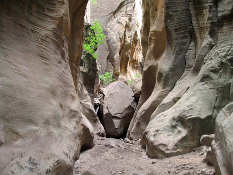 First Obstacle, view from below and beyond the mud |
 |
 |
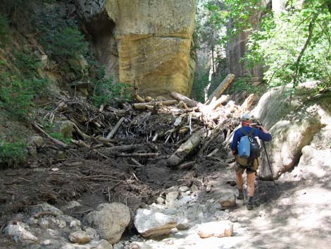 One of several log jams to climb over |
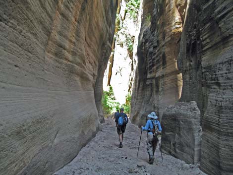 More deep, narrow canyon |
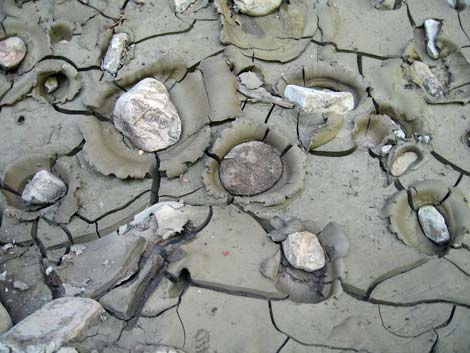 Rocks thrown into drying mud |
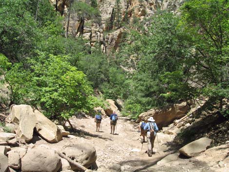 The canyon is narrow in some places and wide in others |
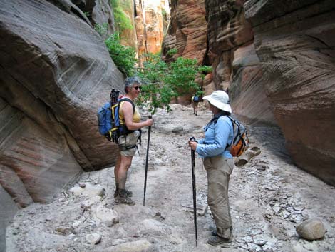 Liz and Kathy stop for a short rest. |
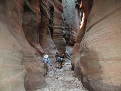 Farther down, the canyon is mostly narrow |
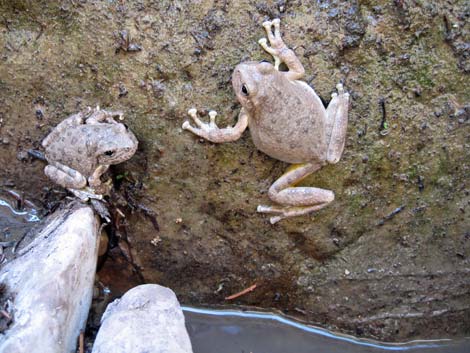 Visiting with friends (canyon treefrogs) along the way |
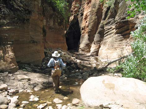 Eventually the canyon gets wet... |
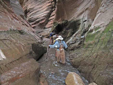 ... then deep, narrow, and wet |
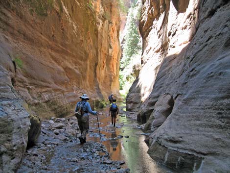 |
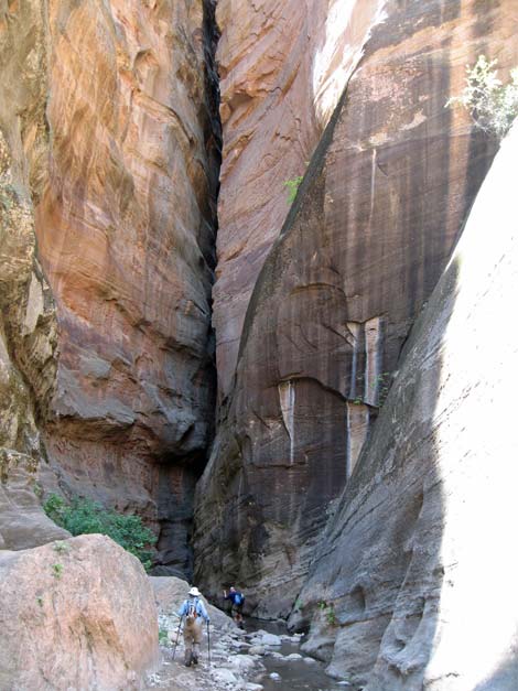 Entering a most amazing slot |
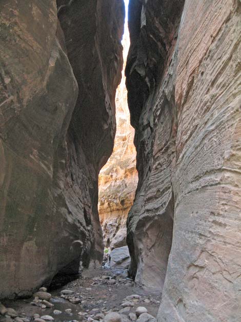 |
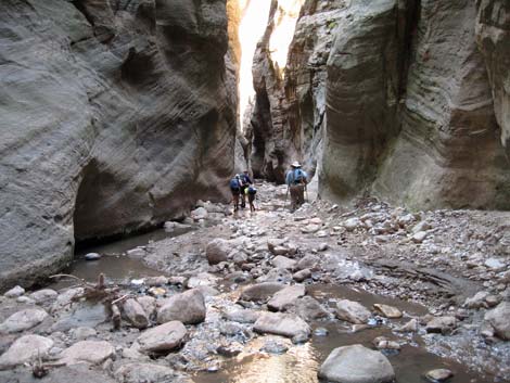 Rocky canyon bottom |
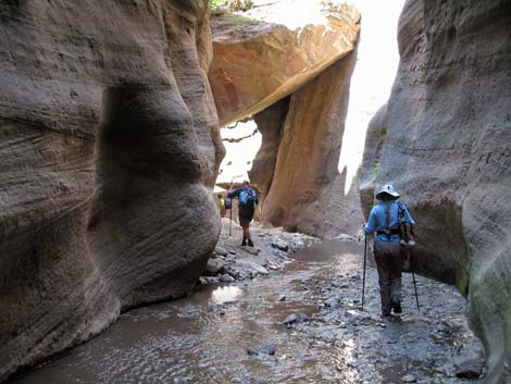 Approaching Second Obstacle |
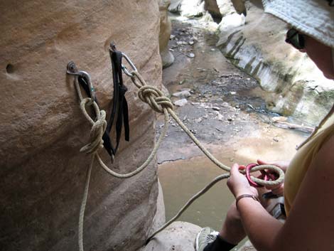 2-bolt anchor at Second Obstacle |
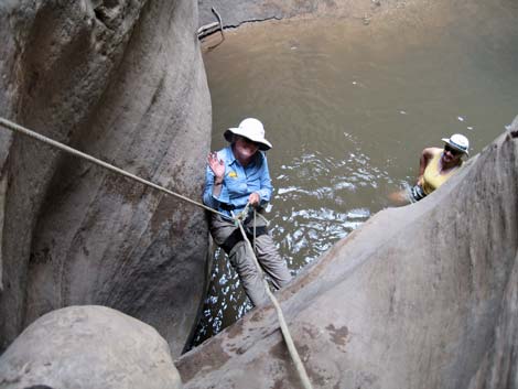 On rappel at Second Obstacle, Liz rappels into neck-deep water |
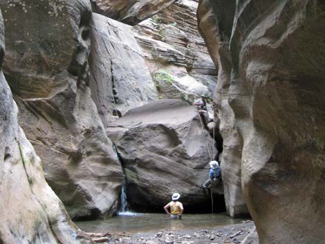 Second Obstacle, view from below |
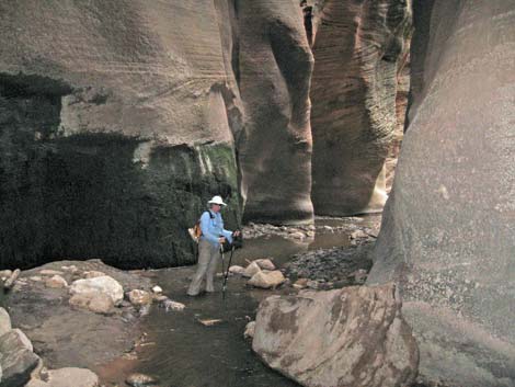 Dark, narrow section of canyon |
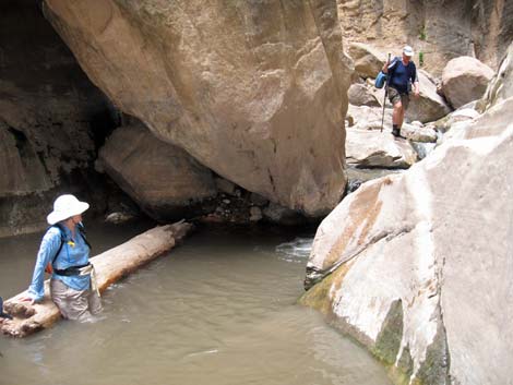 Liz rests on a flotation device as Chris approaches a short waterfall |
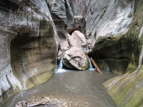 One of many short waterfalls to downclimb |
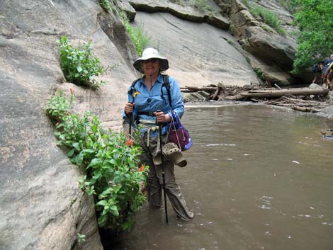 Liz with red monkey flowers along Orderville Creek |
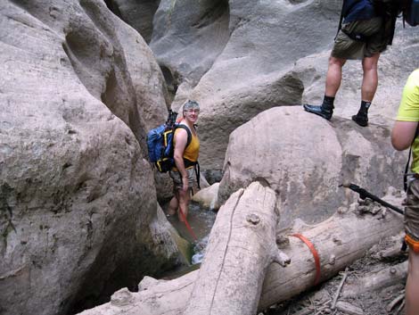 Atop a spot that requires sliding into deep water and swimming out |
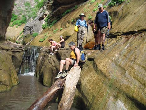 Downclimbing a log at the Moki Steps |
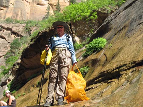 Soggy Liz with dry bags at Moki Steps |
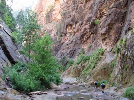 A wide section below the technical difficulties |
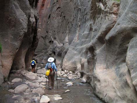 A narrow section below the technical difficulties |
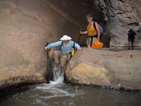 Liz hopping down a little waterfall |
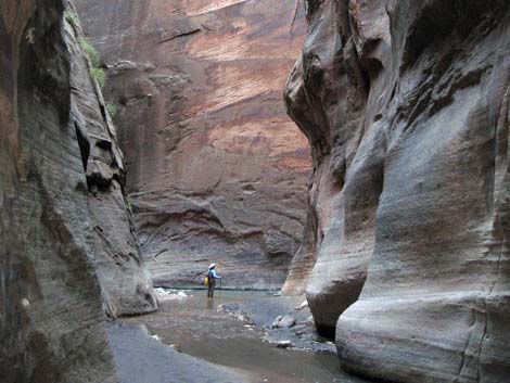 Liz at confluence of Orderville Canyon and the Virgin River |
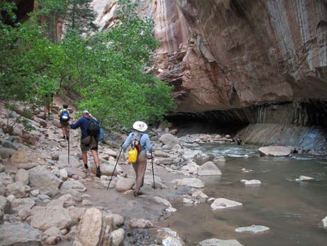 Hiking on edge of Virgin River |
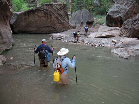 Hiking down and crossing the Virgin River |
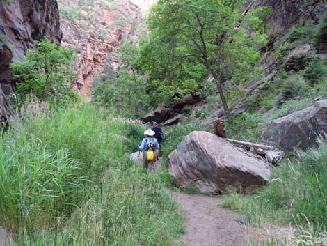 Sometimes there is trail along the Virgin River ... |
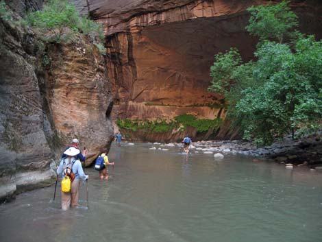 ... and sometimes there is only water |
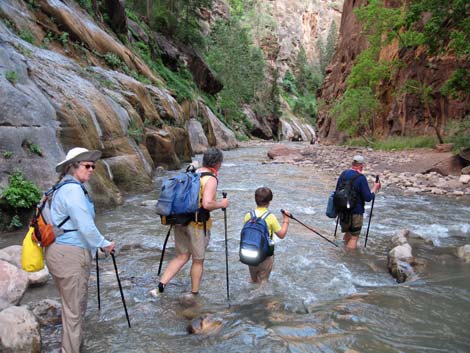 Sometimes the water is fast and shallow ... |
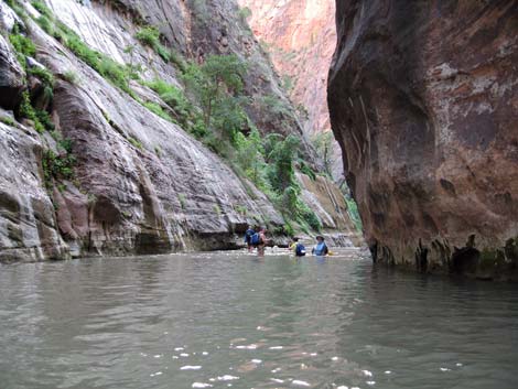 ... and sometimes the water is slow and deep |
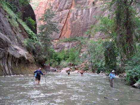 Approaching civilization; great sadness, end of hiking in river |
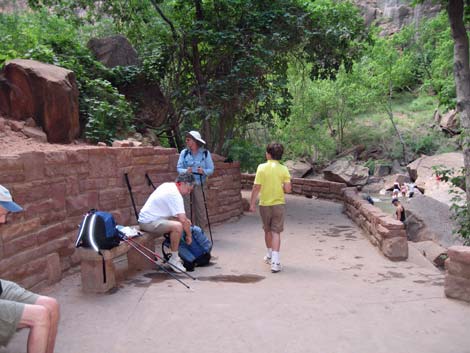 End of Riverside Trail and wishing I had dry shoes for the 1-mile walk |
Table 1. Highway Coordinates based on GPS data (NAD27; UTM Zone 12). Note: These are UTM-Zone-12 coordinates.
Download Highway GPS Waypoints (*.gpx) file.
| Site # | Location | UTM Easting | UTM Northing | Latitude (N) | Longitude (W) | Elevation (ft) | Verified |
|---|---|---|---|---|---|---|---|
| 0178 | Zion Narrows Parking | 327417 | 4128082 | 37.28518 | 112.94680 | 4,420 | Yes |
| 0864 | Hwy 9 at Zion Canyon Rd | 324881 | 4120630 | 37.21757 | 112.97364 | 4,048 | Yes |
| 0866 | Hwy 9 at North Fork Rd | 337398 | 4122770 | 37.23912 | 112.83311 | 6,010 | Yes |
| 1181 | North Fork Rd at Orderville Rd | 337915 | 4133641 | 37.33716 | 112.82965 | 6,363 | Yes |
| 1183 | Orderville Trailhead Parking | 337653 | 4133450 | 37.33539 | 112.83257 | 6,352 | Yes |
Table 2. Hiking Coordinates Based on GPS Data (NAD27; UTM Zone 12). Note: These are UTM-Zone-12 coordinates.
Download Hiking GPS Waypoints (*.gpx) file.
| Wpt. | Location | UTM Easting | UTM Northing | Elevation (ft) | Point-to-Point Distance (mi) | Cumulative Distance (mi) | Verified |
|---|---|---|---|---|---|---|---|
| 01 | Trailhead | 337645 | 4133434 | 6,352 | 0.00 | 0.00 | GPS |
| 02 | Bottom of Canyon | 336972 | 4133877 | 5,894 | 0.82 | 0.82 | GPS |
| 03 | End of Road | 335012 | 4133168 | 5,770 | 1.45 | 2.27 | GPS |
| 04 | Top of Dirt Cliff | 334439 | 4132458 | 5,700 | 0.62 | 2.89 | GPS |
| 05 | Bottom of Dirt Cliff | 334334 | 4132421 | 5,567 | 0.13 | 3.02 | GPS |
| 06 | First Rappel | 331499 | 4131410 | 5,413 | 2.59 | 5.61 | GPS |
| 07 | Spring | 328638 | 4131000 | 5,021 | 2.29 | 7.90 | GPS |
| 08 | Second Rappel | 328391 | 4131010 | 4,990 | 0.20 | 8.10 | GPS |
| 09 | Moki Steps | 327851 | 4130670 | 4,674 | 1.24 | 9.34 | GPS |
| 10 | Virgin River | 327542 | 4130599 | 4,608 | 0.31 | 9.65 | GPS |
| 11 | Riverside Trail | 327473 | 4128761 | 4,459 | 2.05 | 11.70 | GPS |
| 12 | Riverside Trailhead | 327396 | 4128101 | 4,420 | 0.50 | 12.20 | GPS |
Happy Hiking! All distances, elevations, and other facts are approximate.
![]() ; Last updated 240330
; Last updated 240330
| Zion National Park | Hiking Around Las Vegas | Glossary | Copyright, Conditions, Disclaimer | Home |