
Hiking Around Las Vegas, Zion National Park

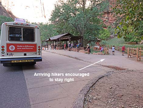 Temple of Sinawava bus stop (view NW) |
Overview The Riverside Walk Trail is the best short hike in Zion. This pleasant, paved trail starts at the end of the paved road in Zion Canyon and runs north along the Virgin River for about 1 mile. The trail starts where the canyon is fairly wide and ends when the canyon is too narrow for the trail. Most of the trail is fairly level, but there are a few steep parts towards the end. The trail is wheelchair accessible, but some parts would be hard to navigate without assistance or an electric motor. The trail ends at an overlook a few feet above the river where you can sit and relax or walk in the water and hike farther up the canyon. The views along this trail are spectacular. During summer, shade provided by the high cliffs and trees, and the moisture provided by the river and seeps along the canyon walls, make for a cool, moist environment with spectacular scenery and a great variety of plants and animals. Link to map. |
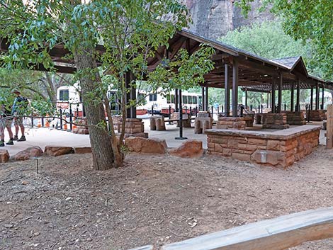 Staying right, arriving hikers don't crowd departing hikers (view W) |
Watch Out Other than the standard warnings about hiking in the desert, ...this is a safe, well-maintained trail, but a slip from a couple of places along the trail would result in serious injury, so be careful and watch your kids. Hiking here in the rain is safe, but don't get in the river during summer rains because there could be a flash flood. If you get in the water, be careful because moving water is more powerful than you might expect. While hiking, please respect the land and the other people out there, and try to Leave No Trace of your passage. Also, even though this is a short hike, be sure to bring what you need of the 10 Essentials. |
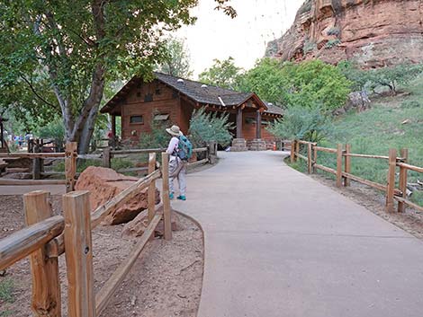 Hiker following sidewalk to the left (view NW) |
Getting to the Trailhead This hike is located in Zion National Park, about 3 hours northwest of Las Vegas. From town, drive out to Zion National Park. From the Visitor Center (Table 1, Site 863), drive or ride the shuttle bus north on Highway 9 for about 1.3 miles to Zion Canyon Road (Site 864). Turn left onto Zion Canyon Road and drive north for about 5 miles to the Temple of Sinawava parking area (Site 178). Park here; this is the trailhead. |
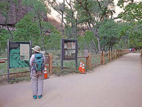 Temple of Sinawava trailhead signs (view NW) |
The Hike From the trailhead (Table 2, Waypoint 1) at the Temple of Sinawava parking area, the trail passes the restrooms and information signs as it runs north along the edge of an open flood plain. Before setting out, check the sign near the trailhead for the latest weather conditions regarding rain and flash floods in the narrows. Initially, the valley floor is relatively wide with Cottonwood Trees, Boxelder trees, Velvet Ash trees, thickets of Canyon Grape, and open meadows. The green contrasts nicely with the red sandstone cliffs towering above the trail, and when flowing, the waterfall across the river adds a nice touch to the scene. Watch for birds, Mule Deer, Rock Squirrels, and other wildlife along the trail. Rock squirrels are common and beg for food, but don't feed them: they can bite, and their fleas harbor bubonic plague. |
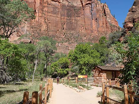 Additional Temple of Sinawava trailhead signs (view NW) |
There are scattered Cottonwood Trees in the river bottom, and Gambel Oak and other trees grow on the hillside above the trail. Some of the trees on the hillside are covered with grapevines that provide food for birds during summer and fall. Split-rail fences keep people on the paved trail, but several use-trails run out across the flood plain to the river. Be sure to watch for Mule Deer in the meadow and along the river. The trail runs along the river bottom to the Desert Swamp, a boggy area with a spring (Wpt. 2). A sign points out the obvious, that it is unusual to find swampy habitat in the desert. Trees and shrubs grow among grasses and reeds in the swamp. This is a favorite place for Song Sparrows; listen for their melodious song during spring. |
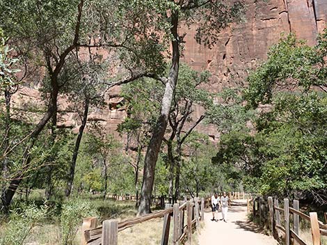 Starting out on the Riverside Trail (view N) |
Beyond the Desert Swamp, the trail gently angles up the wooded slope to run along the hillside between the river bottom and the cliffs. This gives a better view out over the river. The trail winds down and around a rocky section and arrives at a little bridge over a creek (Wpt. 3). Water emerges from springs at the base of the cliff and higher on the wall. This is a nice place to sit quietly on the stone benches and watch for wildlife, including tree frogs that sing in the spring. Beyond the bridge, the canyon narrows, and the trail runs on the rocky hillside up against the cliffs overlooking the river, and in places they had to build up the trail. Part of the trail runs along a cliff with hanging gardens and great spring wildflowers. The hanging gardens are watered by springs in the walls of the canyon, and the little waterfalls provide nesting places for American Dippers. Watch for these little gray birds along the edge of the river as they bob up and down and jump into the water to look for food. They actually walk along the bottom of the stream looking for bugs to eat. |
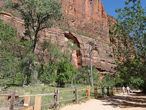 |
Shortly after the hanging gardens, the canyon becomes so narrow that the trail ends because there isn't room for a trail (Wpt. 4). This is a nice place to sit and rest, eat a picnic lunch, soak your feet in the river, and gaze up the canyon at the cliffs. If the weather is good and the water isn't too cold or too high, you can walk farther up the river. If you do, borrow a walking stick from the stone bin just below the end of the trail -- just be sure to bring it back. To get back to the trailhead, retrace your footprints (such as they are on the paved trail). Note: before starting out, use the restrooms at the trailhead. These tend to be clean, and they are the only restrooms along the trail. |
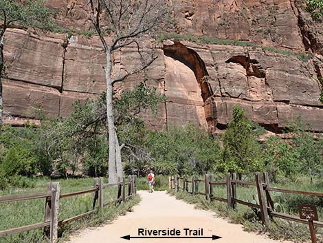 Looking down a spur trail that leads to the Virgin River (view W) |
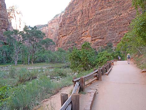 Continuing on the Riverside Trail (view N) |
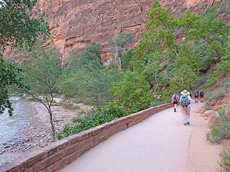 Hikers on the Riverside Trail (view N) |
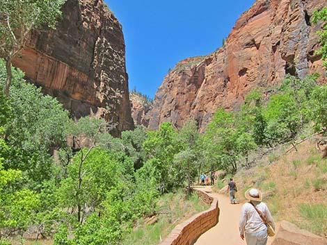 Hikers low on the trail (view N) |
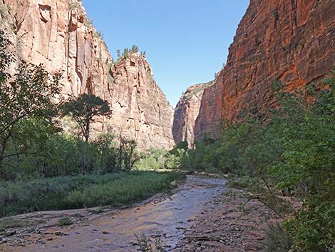 Virgin River (view N) |
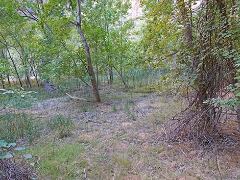 Approaching the Desert Swamp (view NW) |
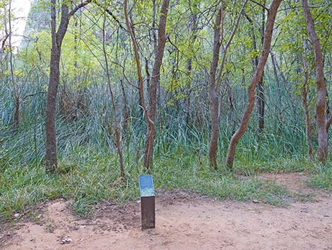 Desert Swamp information sign (view W) |
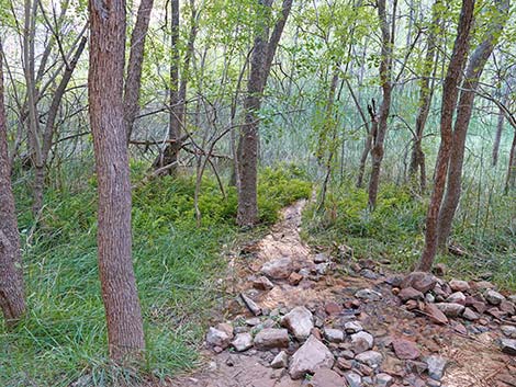 Desert Swamp spring and creek (view W) |
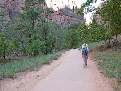 |
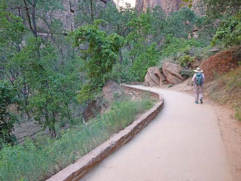 |
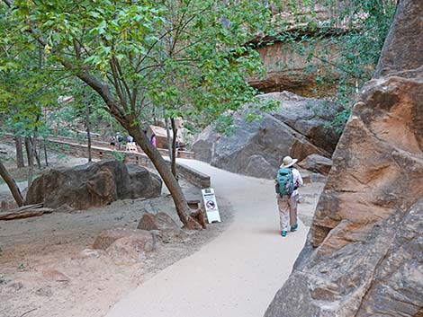 Hiker approaching little bridge over a creek (view NE) |
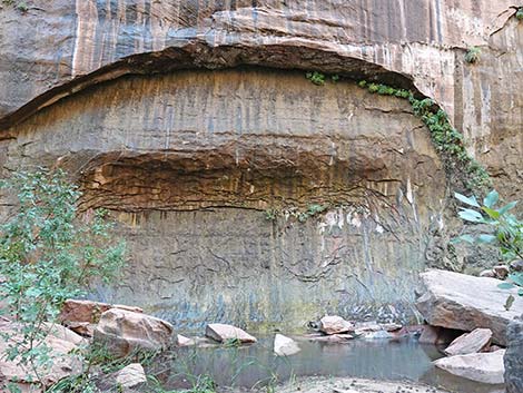 Spring pool and hanging garden (view E from bridge) |
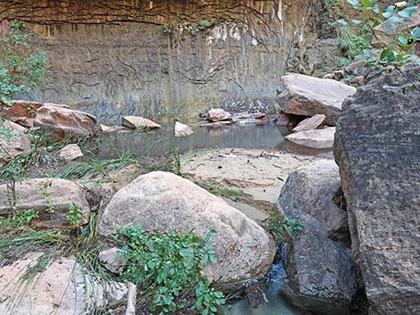 Stream below spring pool (view E from bridge) |
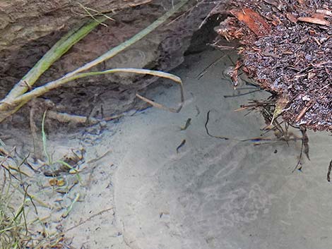 Speckled Dace in the outflow stream (view down) |
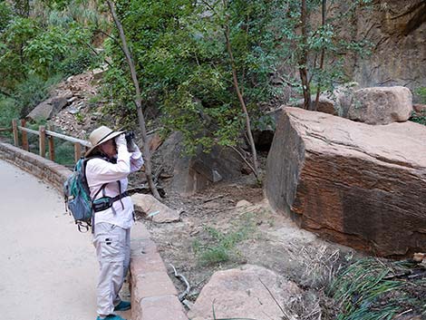 Looking for birds at the spring pool (view N) |
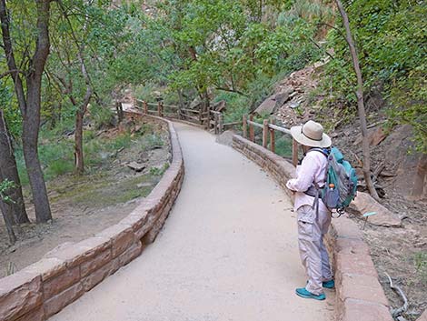 Hiker ready to depart the little bridge area (view N) |
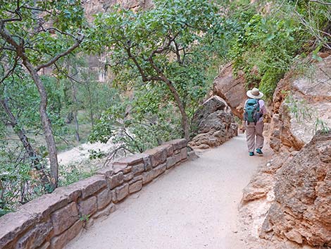 Trail runs among rocks and overlooks the Virgin River (view N) |
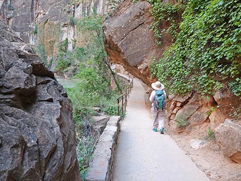 Trail runs among rocks -- watch your head (view N) |
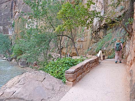 Trail hugs the wall above the Virgin River (view NE) |
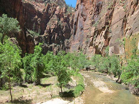 A crook in the river provides nice scenery (view N) |
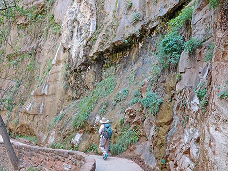 Hiker passing below hanging garden (view NE) |
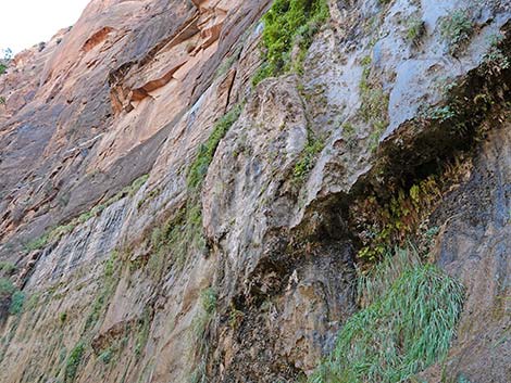 Cliff and hanging garden above the trail (view up) |
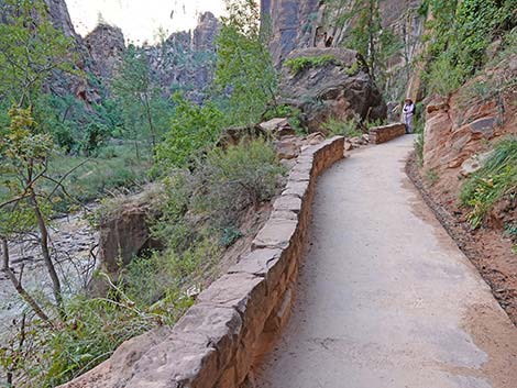 Trail again hugs the wall above the Virgin River (view N) |
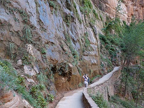 Looking back: hiker looking for American Dipper nest |
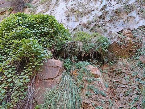 Maybe the American Dipper nest is in there? |
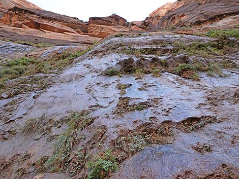 Cliff and hanging garden above the trail (view up) |
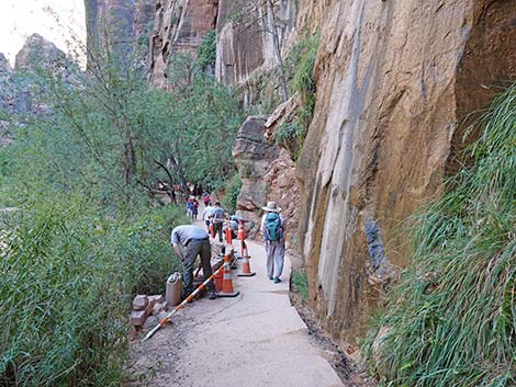 Hiker continuing on the trail; NPS staff fixing the trail (view N) |
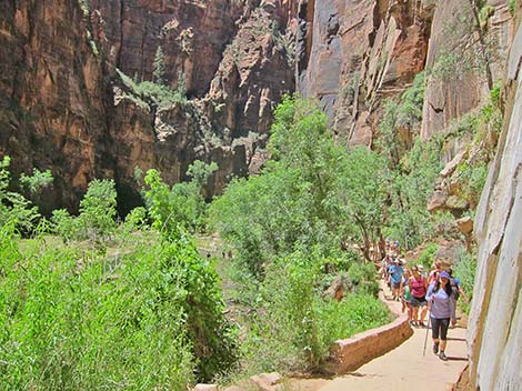 Hikers high on the trail (view N) |
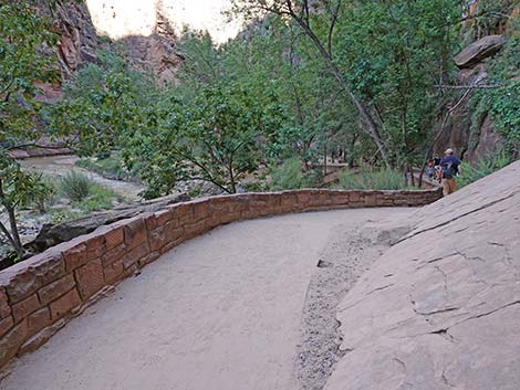 The trail winds down closer to the Virgin River (view N) |
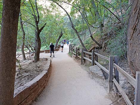 Walls and fencing help protect the habitat (view N) |
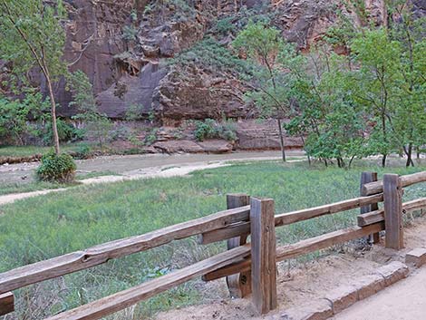 Gates provide access to the river, but not everywhere (view NW) |
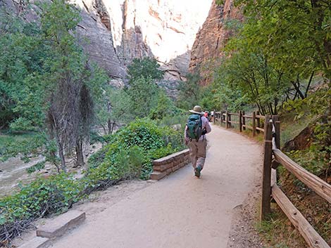 Hiker continuing on the trail (view N) |
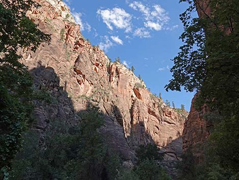 Cliffs tower above the trail on the other side too (view NW) |
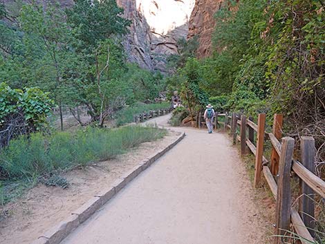 Hiker continuing on the trail (view N) |
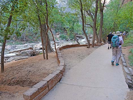 Pullouts provide places to stop off the trail (view N) |
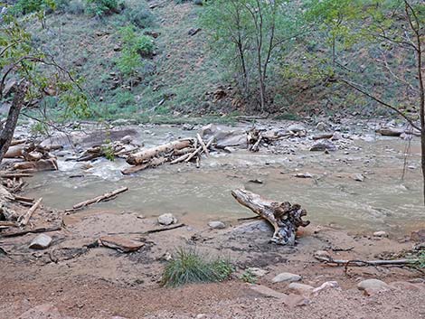 Looking out from the pullout; flash flood debris (view W) |
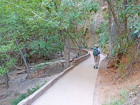 Hiker continuing on the trail (view N) |
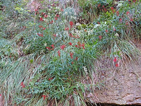 During summer, the Crimson Monkeyflowers bloom (view E) |
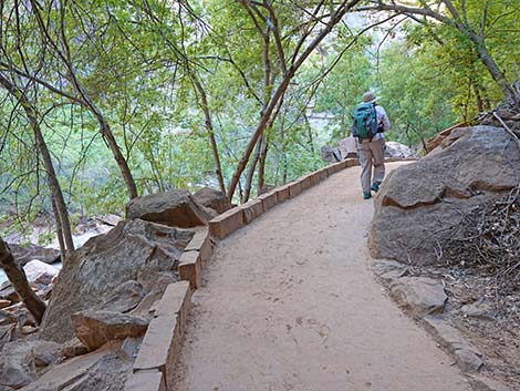 Hiker continuing on the trail (view N) |
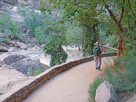 Hiker continuing on the trail (view N) |
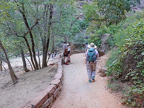 Hiker continuing on the trail (view N) |
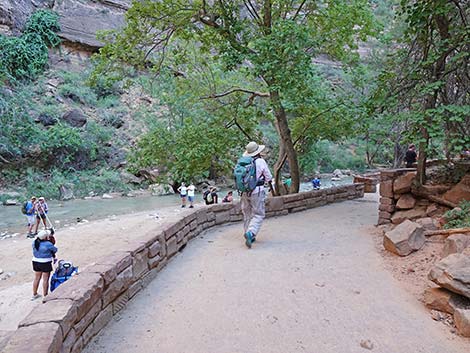 Hiker arriving at the end of the trail (view N) |
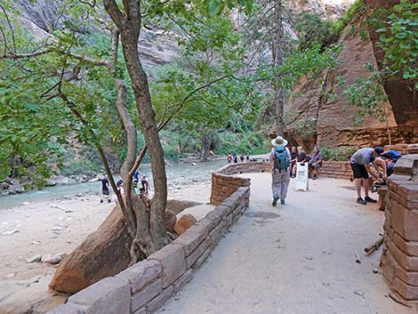 Hiker at the end of the trail (view N) |
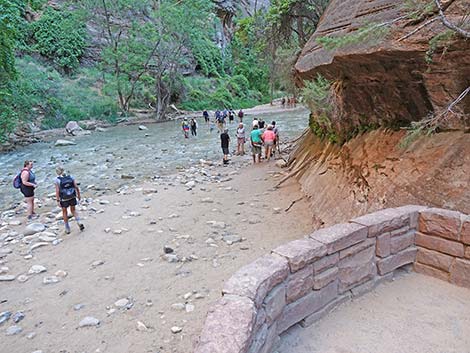 End of the constructed trail (view N) |
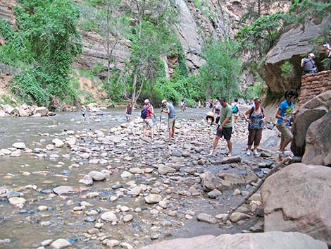 Stairs provide access to the banks of the Virgin River (view N) |
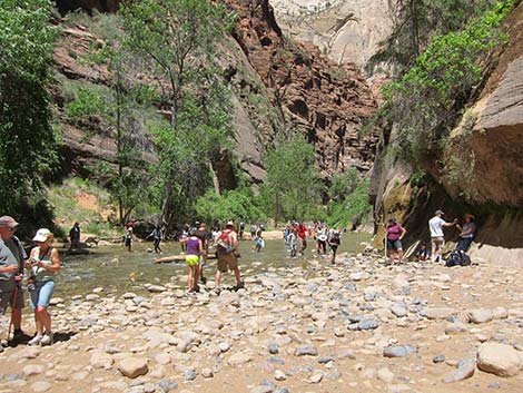 Hikers on gravel beyond the built trail (view N) |
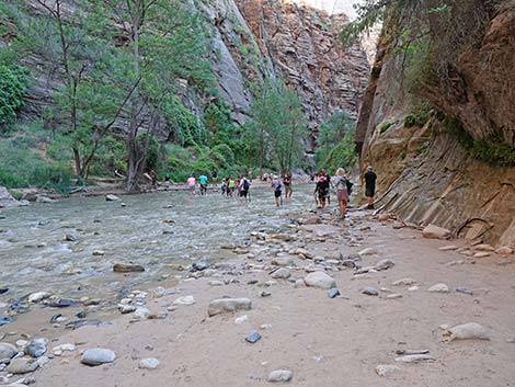 Hikers continuing up the river (view N) |
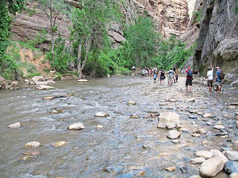 Hikers in the Virgin River beyond the built trail (view N) |
Table 1. Highway Coordinates (NAD27; UTM Zone 12S). Note that these are UTM-Zone-12 coordinates.
Download Highway GPS Waypoints (*.gpx) file.
| Site | Location | Latitude (°N) | Longitude (°W) | UTM Easting | UTM Northing | Elevation (feet) | Verified |
|---|---|---|---|---|---|---|---|
| 0178 | Zion Narrows Parking Area Temple of Sinawava | 37.2852 | 112.9468 | 327417 | 4128082 | 4,420 | Yes |
| 0863 | Zion Visitor Center | 37.2000 | 112.9865 | 323702 | 4118706 | 3,940 | Yes |
| 0864 | Highway 9 at Zion Canyon Road | 37.2176 | 112.9736 | 324881 | 4120630 | 4,048 | Yes |
Table 2. Hiking Coordinates Based on GPS Data (NAD27; UTM Zone 12S). Note that these are UTM-Zone-12 coordinates.
Download Hiking GPS Waypoints (*.gpx) file.
| Wpt. | Location | Time (hrs) | Easting | Northing | Elevation (ft) | Verified |
|---|---|---|---|---|---|---|
| 01 | Temple of Sinawava Trailhead | 1505 | 327417 | 4128082 | 4,418 | GPS |
| 02 | Desert Swamp | 1513 | 327492 | 4128475 | 4,440 | GPS |
| 03 | Bridge over Side Creek | 1518 | 327473 | 4128761 | 4,440 | GPS |
| 04 | End of Trail | 1536 | 327385 | 4129356 | 4,460 | GPS |
Happy Hiking! All distances, elevations, and other facts are approximate.
![]() ; Last updated 240330
; Last updated 240330
| Hiking Around Zion National Park | Hiking Around Las Vegas | Glossary | Copyright, Conditions, Disclaimer | Home |