
Hiking Around Las Vegas, Zion National Park

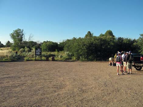 Trailhead parking |
Overview The Zion Subway, hiked from above and all the way down, is a great hike through a spectacular canyon in the high country of northern Zion National Park. The route starts on trails on forested mesa tops, descends slickrock hillsides, and runs down a spectacularly narrow canyon (rope work and swimming required) for a total of about 9-1/2 miles. Trails and use-trails along some parts of the route permit quick passage, but much of the route is slow hiking in the water, and it takes a long day of hiking at a good pace to complete the route. The water can be quite cold, even during summer. Link to map. |
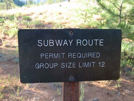
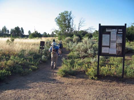 Trailhead info sign and start of Wildcat Canyon Trail |
The logistics of this hike are somewhat difficult. Permits are required to hike the Subway, and the availability of permits depends, in part, on the weather forecast for the day of the hike. Permits must be obtained in person the day before or the day of the trip at the Zion Canyon or Kolob Canyon Visitor Centers. Check the park website for details. Also, this is a one-way route, so you need to arrange a vehicle shuttle of some sort. The concessionaire runs a shuttle service; contact them for details. Watch Out Other than the standard warnings about hiking in the desert, ...this is a long route with no real way to turn back after you get dropped off and your ride leaves. Be sure that you are up to the route before getting started. |
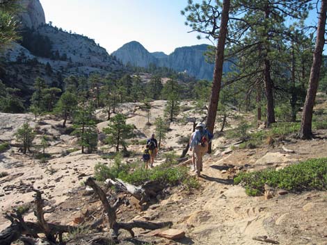
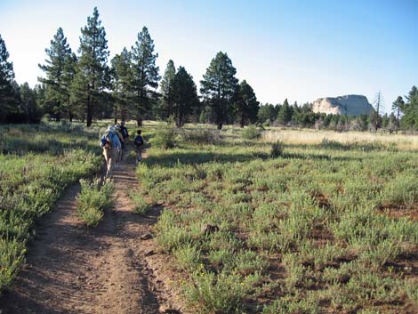 Hiking through meadows and forest in high country |
Water levels and water temperatures make a big difference on this route. This route probably is best during late summer when air temperatures are high (near 100 degrees) and the water level is low. Thunderstorms can bring flash floods. Be aware of the weather and plan alternate hikes in the area in case the weather forecast is bad. Seek refuge on the highest ground possible if flash floods are possible. Permits are required to hike through the narrows, and the availability of permits depends, in part, on the weather forecast. Ropes are necessary on this route to safely descend obstacles. I took two, 55-ft climbing ropes, which were more than enough for the rappels. Don't jump off boulders -- the area is too remote to risk a broken ankle, and there are many submerged rocks. Leg injuries from jumping in the Subway seem to be one of the most frequent causes of emergency evacuation from the backcountry! |
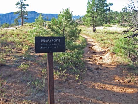 Subway route leaves Northgate Peaks Trail (Wpt. 04) |
Walking sticks (i.e., two trekking poles) are almost a necessity on this route. Most of the route is in the water, which often is too murky to see the bottom. I wore running shoes and was happy with my choice. Plan to get wet, and pack your camera and other sensitive gear in waterproof bags. Hikers must swim on this route. We will take a life-jacket next time. GPS devices don't work in narrow sections of the canyon. While hiking, please respect the land and the other people out there, and try to Leave No Trace of your passage. Also, this is a long hike in a remote area where rescue would be difficult, so be sure to bring the 10 Essentials. |
 |
Getting to the Trailhead This hike is located in Zion National Park, about 3 hours northwest of Las Vegas. From town, drive out to Zion National Park. From the Visitor Center (Table 1, Site 0863), drive (or hire a shuttle) south on Highway 9 to the south park entrance (about 5 minutes). Continue south and west, outside the park, for a total of about 14.3 miles to the town of Virgin (Site 1184). Turn right onto Kolob Terrace Road and drive north for 8.1 miles to the Left Fork Trailhead (parking area visible on right). Continue for another 7.5 miles (total of 15.6 miles from Virgin) to the Wildcat Trailhead Access Road (Site 1185). Turn right onto the Access Road and drive south for about 125 yards to a large dirt parking area with trailhead signs (Site 1186). Park here; this is Wildcat Trailhead. |
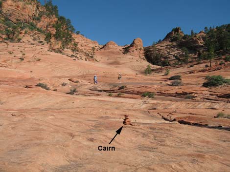
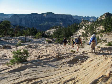 Descending white slickrock |
The Hike From the trailhead (Table 2, Waypoint 01), the route departs on the Wildcat Canyon Trail (adjacent to the trailhead information sign) heading southeast. The trail runs across flat country through meadows and forests for 0.9 miles to a junction with the Hop Valley Connector Trail (Wpt. 02). Continuing on the Wildcat Trail, the route runs east for another 0.1 miles to a trail junction with the Northgate Peak Trail (Wpt. 03). The route turns right onto the Northgate Peak Trail and runs south for another 0.1 miles to yet another trail junction (Wpt. 04). Here (Wpt. 04), the route to the Subway leaves designated trails and follows use-trails and cairn routes to the edge of the Left Fork Canyon. |
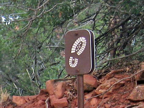 "Boot-print" route-marker sign |
The use-trail runs off the edge of the mesa and down to the edge of sandstone slickrock (Wpt. 05). Continuing down the white slickrock, the route is marked fairly well by cairns and "boot-print" signs. The route eventually re-enters woods (Wpt. 06) and continues the descent via a well-used use-trail. The trail runs out onto sandstone again, then re-enters the woods (Wpt. 07). The route is fairly easy to follow as it runs on and off the slickrock sandstone, then a steep descent ends in the bottom of Russell Gulch (Wpt. 08). Before getting all the way down, look south for a sandstone saddle with small hoodoos. The route will cross Russell Gulch and climb onto this slickrock saddle (Wpt. 09). |
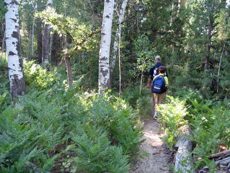 Hikers in forested section |
From the slickrock saddle (Wpt. 09), the route descends slickrock to the south, then re-enters the brushy woods (Wpt. 10). Beyond this point, the use-trails diverge, but they continue south and coalesce in the bottom of a small drainage (Wpt. 11) From the small drainage, the well-defined use-trail climbs up and across the hillside to the south, arriving atop cliffs overlooking the confluence of Russell Gulch and the Left Fork of the Great West Canyon (Wpt. 12). From the overlook, a steep 3rd-class route descends about 300 vertical-feet directly into Russell Gulch (Wpt. 13), arriving just below a very high pour-over and deep plunge pool. After hiking across hot slickrock, the cool and shade of the grotto make a nice place to stop and rest. |
 |
Continuing downstream, hikers quickly arrive at the confluence with the Left Fork (Wpt. 14), which can be seen through the tunnel from the grotto at the bottom of Russell Gulch. A few minutes downstream in the Left Fork, the First Obstacle (Wpt. 15), a very large boulder, blocks the canyon. I understand that there is a "hole" around the left side of the boulder, but we rappelled off the front face using a sling around a flake on the right wall for an anchor. Pulling the rope over the face looked like it might be difficult, so I rappelled directly down an awkward hole below the sling anchor. If the rock face hadn't been covered with loose sand from hiker's boots, it might have been easy to downclimb the face to where a leap into the sand below would be safe. |
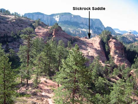 Slickrock saddle with hoodoos on the horizon |
Continuing downstream, GPS units lose track of the satellites in the deep, narrow canyon, but the route finding is easy: keep going downstream, dealing with difficulties as they are encountered. The next substantive obstacle is a deep plunge pool below a low drop-off. We slid into the frigid water and swam across. Resist the urge to jump into the pool, as submerged rocks are hard to see. The next substantive obstacle is the Bowling Alley: a narrow slot with downclimbs, deep wading, roped descents, and a long swim down a narrow slot (which passes under the bowling ball). I tossed a rope ahead, expecting to quickly swim over and pick it up, but it sank in cold, deep water and was difficult to retrieve. |
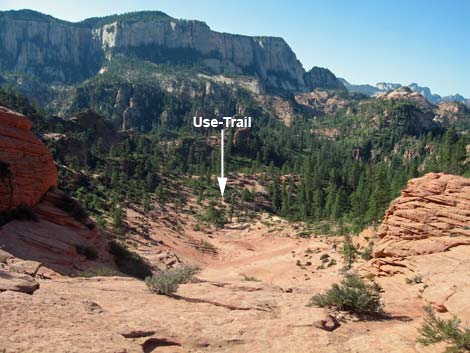 Passing the slickrock saddle |
Continuing downstream, there are many shallow waters to walk in, deep pools to wade through, and even some dry places to walk. Eventually, however, hikers reach Keyhole Falls (Wpt. 16). A short rappel, anchored by two bolts, delivers hikers into The Subway, proper. Hiking through the Subway, a truly amazing geologic structure, hikers soon pass The Log, scramble around a short waterfall, and arrive on the north side of the creek atop a high waterfall. There used to be a log here jammed across the top of the waterfall that permitted a traverse to the south side of the creek. Some hikers jump across the creek to the south side and continue across the slabs to a fixed anchor (Wpt. 17) atop the final rappel. However, injuries have occurred here, and jumping is not necessary. Rather than jumping, hikers are encouraged to continue a few yards farther on the north side of the creek to a new fixed anchor. Dropping into the canyon below, rappellers arrive at the last spot where hikers from the Left Fork Trailhead can get to. |
 Looking back at hoodoos on slickrock saddle |
Before continuing downstream, wade back up under the waterfall into the Waterfall Room, literally the last place hikers from below can get to. Continuing downstream, hikers arrive at the beginning of the Red Cascades. At this place inside the Subway, the rock can be very slick from algae growing in this shady area. Exiting the Subway (Wpt. 18), the Red Cascades continue, but they are no longer so slippery. GPS devices begin to work properly again near here. Below the Red Cascades, the canyon opens, and the route becomes a slog through the creek or walking on one side or the other. About 1.6 miles below the Subway, look for a large slab of gray mudstone tipped up and resting on the north side of the creek (Wpt. 19). The mudstone preserves the tracks of a herd of dinosaurs that walked through this area long ago. |
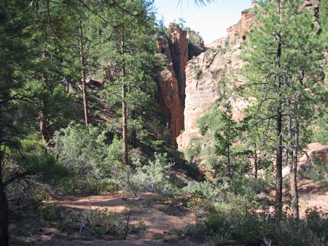 Approaching the jump-off point above Russell Gulch |
Below the dinosaur tracks (Wpt. 19), the slog continues for 0.8 miles to the confluence of a large canyon that comes in from the north (UTM: 315610, 4129268). Beyond this side canyon, hikers can look ahead and down the canyon for a large basalt buttress on the north side. Approaching the buttress, use-trails depart the creek (Wpt. 20) and head upward (Wpt. 21) very steeply ascending some 400 vertical-feet to a bench (Wpt. 22) overlooking the canyon. Atop the bench, use-trails diverge (Wpt. 23), but staying along the rim (Wpt. 24) is the better way to go. After leaving the rim area, a single trail runs southwest to the Left Fork Trailhead (Wpt. 25). |
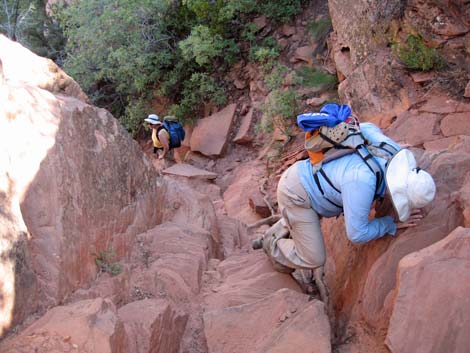 Descending 3rd-class gully into Russell Gulch |
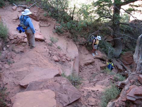 Sandy rocks in gully above Russell Gulch |
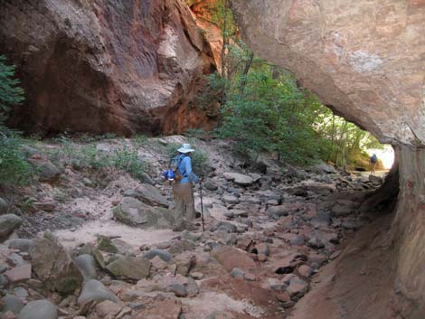 In Russell Gulch, approaching confluence with Left Fork |
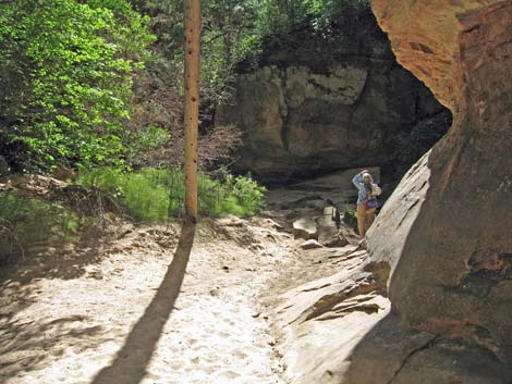 Looking for Painted Redstart at the confluence |
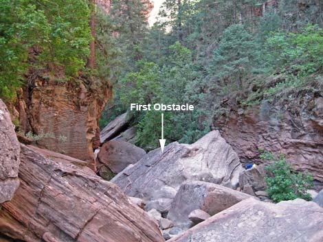 First Obstacle: big boulder blocking canyon |
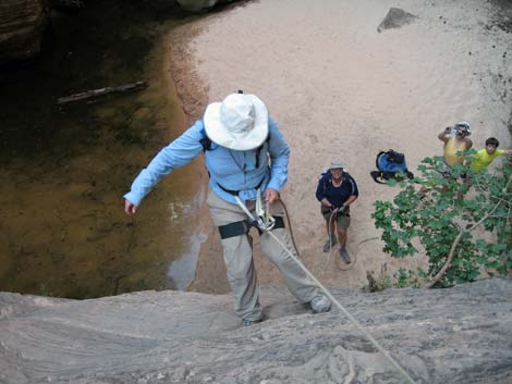 Liz rappelling off the face of a huge boulder on the first rappel |
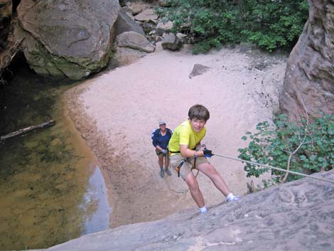 Young Ben on rappel (it is a long way down) |
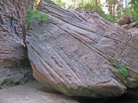 First Obstacle; view from below |
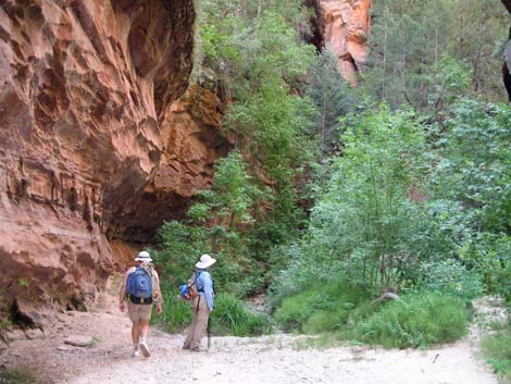 Hiking in dry canyon |
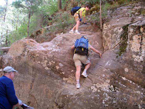 Minor obstacle |
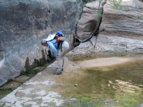 Looking for water bugs in wet canyon |
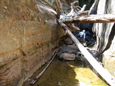 Logs jammed between rock walls |
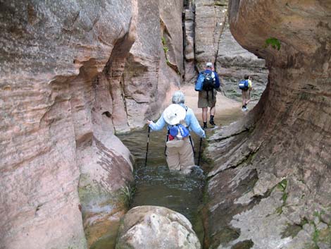 Wading through a pool of water in the narrow canyon |
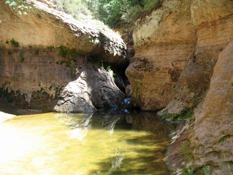 Looking back across the first swim |
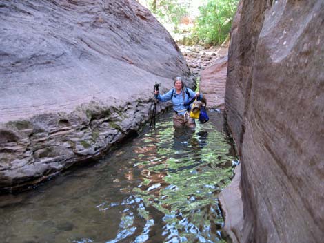 Wading another pool |
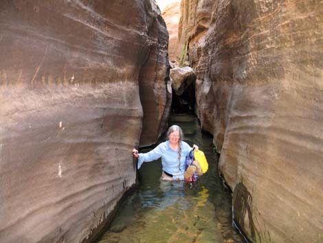 Downclimb boulder, then wade into Bowling Alley |
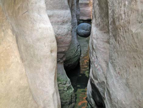 Bowling ball boulder suspended in the Bowling Alley |
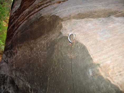 Old bolt anchor at drop into the Bowling Alley |
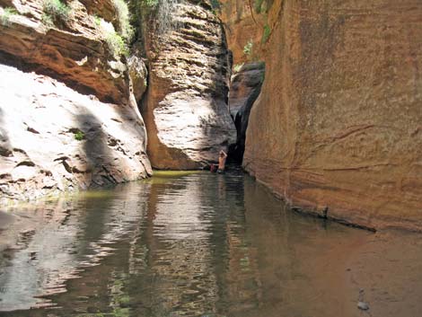 Looking back at the Bowling Alley finale; yet another long swim |
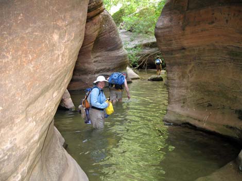 Lots of water -- glad the air temp was near 100 degrees |
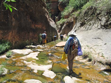 Wet canyon near Keyhole Falls |
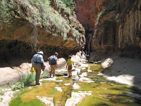 Wet canyon near Keyhole Falls |
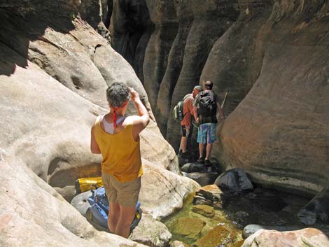 Top of the rappel above Keyhole Falls |
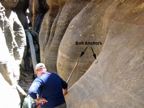 Two anchor bolts at Keyhole Falls (the Subway in background) |
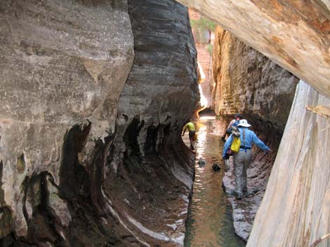 Below Keyhole Falls in the Subway (the central trough is deep) |
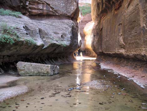 Inside the Subway |
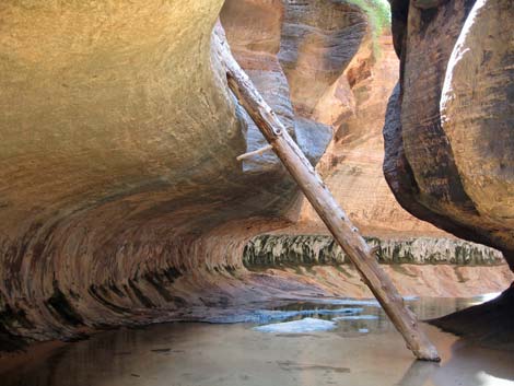 Inside the Subway |
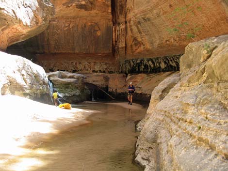 Inside the Subway |
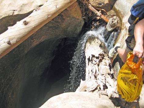 Important: this log atop the waterfall is gone! |
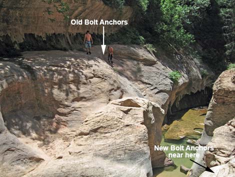 New final rappel is on north side of canyon |
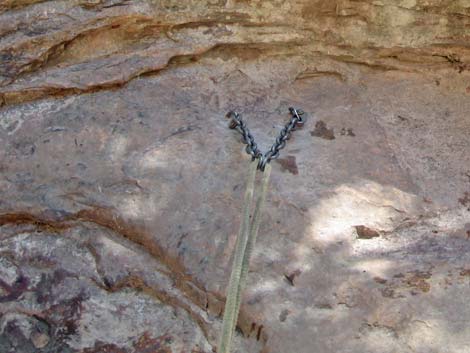 Look for a fixed anchor for last rappel |
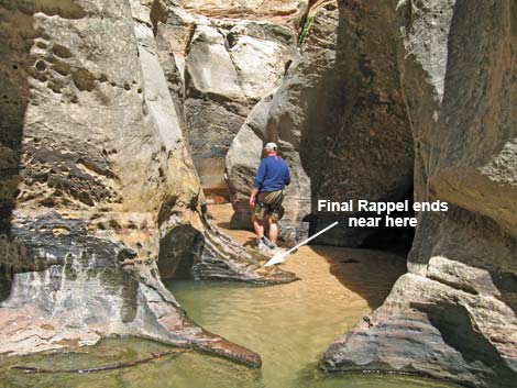 Hiking upstream towards Waterfall Room |
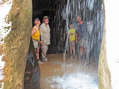 Inside the Waterfall Room |
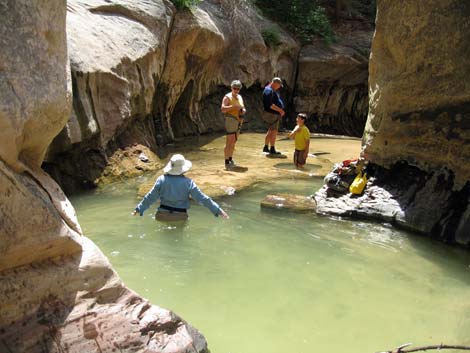 Wading a deep pool near the bottom of the last rappel |
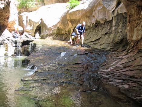 Rocks can be slippery (note 2nd hiker on knees after fall) |
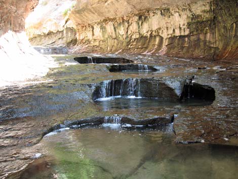 Cascade pools inside Subway |
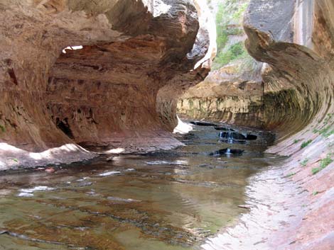 Looking back into the Subway |
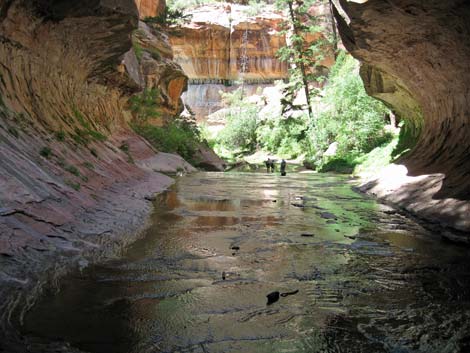 Hikers exiting the Subway |
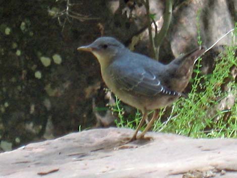 Feathered friend (American Dipper) in canyon |
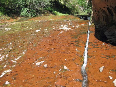 Cascade in red sandstone |
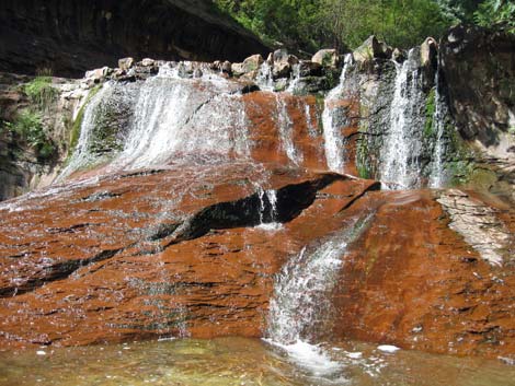 Cascade falls in red sandstone |
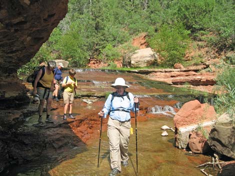 Hiking down red cascades |
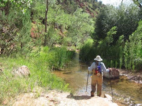 More hiking in the water |
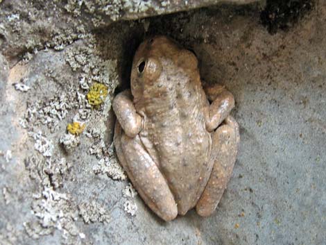 Canyon Treefrog blending in with rocks and lichens |
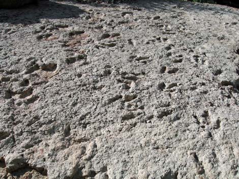 Dinosaur Tracks on huge boulder |
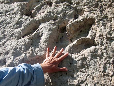 Hand for scale on dinosaur track |
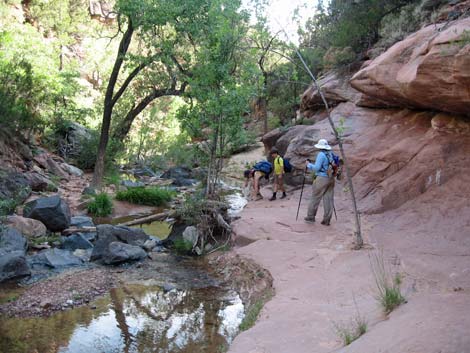 A bit of dry hiking ... |
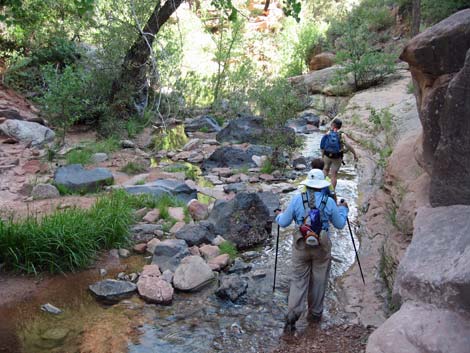 ... and lots more wet hiking |
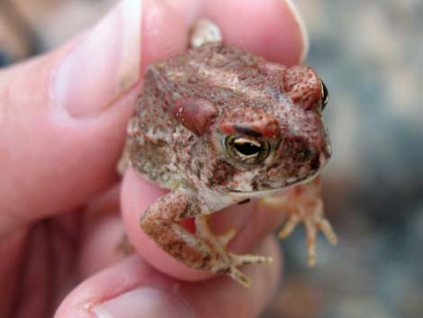 Arizona Toad blends with red sandstone |
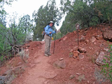 Hiker on exit trail (note boot-print sign at right) |
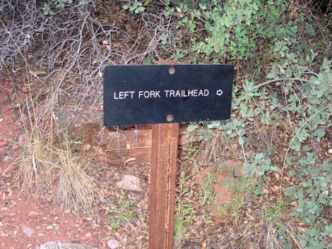 Trail sign where two use-trails converge |
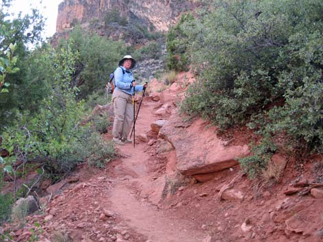 Steep trail on red dirt |
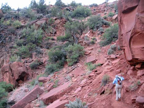 The hike out of the canyon at the end of the day is long and steep |
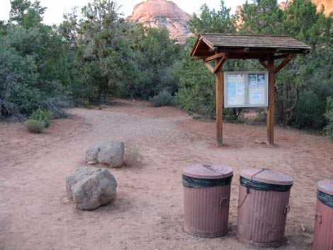 Left Fork Trailhead |
Table 1. Highway Coordinates based on GPS Data (NAD27; UTM Zone 12). Note: These are UTM-Zone-12 coordinates.
Download Highway GPS Waypoints (*.gpx) file.
| Site # | Location | UTM Easting | UTM Northing | Latitude (N) | Longitude (W) | Elevation (ft) | Verified |
|---|---|---|---|---|---|---|---|
| 0863 | Zion Visitor Center | 323726 | 4118724 | 37.20019 | 112.98620 | 3,896 | Yes |
| 1184 | Hwy 9 at Kolob Terrace Rd | 306077 | 4119504 | 37.20371 | 113.18514 | 3,552 | GPS |
| 1185 | Kolob Terrace Rd at Wildcat Rd | 316185 | 4134509 | 37.34092 | 113.07503 | 6,829 | GPS |
| 1186 | Wildcat Canyon Trailhead Parking | 316179 | 4134397 | 37.33992 | 113.07507 | 6,821 | GPS |
| 1187 | Left Fork Trailhead Parking | 314262 | 4128308 | 37.28468 | 113.09517 | 4,980 | GPS |
Table 2. Hiking Coordinates Based on GPS Data (NAD27; UTM Zone 12). Note: These are UTM-Zone-12 coordinates.
Download Hiking GPS Waypoints (*.gpx) file.
| Wpt. | Location | UTM Easting | UTM Northing | Elevation (ft) | Point-to-Point Distance (mi) | Cumulative Distance (mi) | Verified |
|---|---|---|---|---|---|---|---|
| 01 | Wildcat Trailhead | 316194 | 4134390 | 6,833 | 0.00 | 0.00 | GPS |
| 02 | Hop Valley Connector | 317415 | 4134332 | 6,900 | 0.90 | 0.90 | GPS |
| 03 | Northgate Peaks Trail | 317606 | 4134382 | 6,908 | 0.12 | 1.02 | GPS |
| 04 | Leave Northgate Peak Trail | 317636 | 4134277 | 6,923 | 0.08 | 1.10 | GPS |
| 05 | Edge of Sandstone | 317716 | 4134163 | 6,904 | 0.09 | 1.19 | GPS |
| 06 | Edge of Woods | 317858 | 4133978 | 6,769 | 0.18 | 1.37 | GPS |
| 07 | Enter Woods Again | 318213 | 4133737 | 6,552 | 0.31 | 1.68 | GPS |
| 08 | Crossing Gorge | 318893 | 4133232 | 6,084 | 0.66 | 2.34 | GPS |
| 09 | Slickrock Saddle by Hoodoos | 319030 | 4132929 | 6,143 | 0.22 | 2.56 | GPS |
| 10 | Trail leaves slickrock | 319179 | 4132641 | 5,890 | 0.23 | 2.79 | GPS |
| 11 | Trail across Hillside | 319316 | 4132336 | 5,771 | 0.27 | 3.06 | GPS |
| 12 | Top of Descent | 319299 | 4131927 | 5,760 | 0.28 | 3.34 | GPS |
| 13 | Bottom of Canyon | 319250 | 4131908 | 5,560 | 0.08 | 3.42 | GPS |
| 14 | Confluence with Left Fork | 319263 | 4131859 | 5,550 | 0.06 | 3.48 | GPS |
| 15 | First Obstacle | 319151 | 4131791 | 5,520 | 0.09 | 3.57 | GPS |
| 16 | Keyhole Falls | 318286 | 4131216 | 5,480 | 1.04 | 4.61 | GPS |
| 17 | Rappel | 318296 | 4130963 | 5,340 | 0.20 | 4.81 | GPS |
| 18 | The Subway | 318189 | 4130971 | 5,320 | 0.08 | 4.89 | GPS |
| 19 | Dinosaur Tracks | 316603 | 4129913 | 4,990 | 1.63 | 6.52 | GPS |
| 20 | Side Canyon from North | 315610 | 4129268 | 4,730 | 0.81 | 7.33 | GPS |
| 21 | Trail Out | 315266 | 4128790 | 4,650 | 0.45 | 7.78 | GPS |
| 22 | Trail Sign | 315187 | 4128750 | 4,689 | 0.06 | 7.84 | GPS |
| 23 | Top of Steep Climb | 314950 | 4128756 | 5,040 | 0.29 | 8.13 | GPS |
| 24 | Trail Junction | 314953 | 4128712 | 5,048 | 0.04 | 8.17 | GPS |
| 25 | Main Trail | 314903 | 4128686 | 5,033 | 0.05 | 8.22 | GPS |
| 26 | Left Fork Trailhead | 314280 | 4128315 | 5,072 | 0.53 | 8.75 | GPS |
Happy Hiking! All distances, elevations, and other facts are approximate.
![]() ; Last updated 240330
; Last updated 240330
| Zion National Park | Hiking Around Las Vegas | Glossary | Copyright, Conditions, Disclaimer | Home |