Hiking Around Las Vegas, Basin and Range National Monument
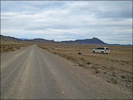 Seaman Wash Rd looking towards left turn into Water Gap (view N) |
Overview There is one developed campground in Basin and Range National Monument (Mt. Irish Campground). Otherwise, there are no facilities of any kind, but primitive camping is legal everywhere along existing roads and trails, and there are a number of traditional campsites scattered throughout the area. The Coal Valley, Water Gap SE Campsite, out in Coal Valley just outside Water Gap, is traditionally used by sheep herders and has space for several trailers and RVs. For campers who like wide open spaces, grand scenery, and big starry nights, this is a good choice. Keep an eye out for pronghorn foraging in the valley. This site is along a main road, so while it gets dust from the few passing vehicles, it is a good basecamp for exploring the National Monument. Pack it in - Pack it out. Link to map. |
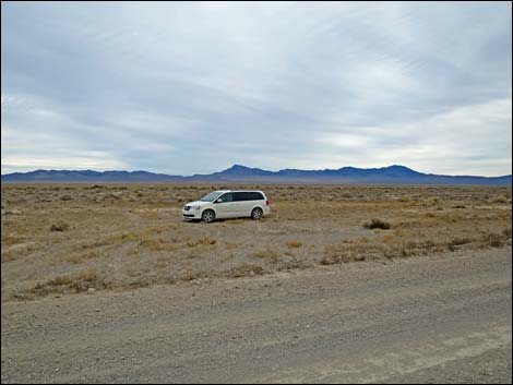 Coal Valley, Water Gap SE Campsite (view SE from Seaman Wash Rd) |
Getting to Camp The Coal Valley, Water Gap SE Campsite is located in the south-central of Basin and Range National Monument, about 2-1/2 hours northeast of Las Vegas. From Las Vegas, drive north on Interstate-15 for 21 miles to Highway 93. Drive north on Highway 93 past the towns of Alamo and Ash Springs to Highway 318. Turn left onto Highway 318 and drive north for 17.4 miles to Seaman Wash Road on the left. Turn left onto Seaman Wash Road and drive northwest 25.3 miles. The road passes the Basin and Range entrance sign, continues straight across a 4-way intersection, and heads across the flat valley into Seaman Wash Canyon. The road winds up canyon, runs up over the crest of the Seaman Range, and glides down into Coal Valley. Way out on the far side of Coal Valley, the road gets close to the rocky cliffs of the Golden Gate Range. About 1/4 miles before turning left into Water Gap, the campsite is a bladed area on the right. |
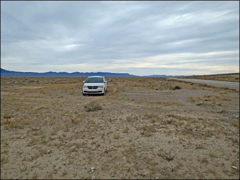 Coal Valley, Water Gap SE Campsite (view S) |
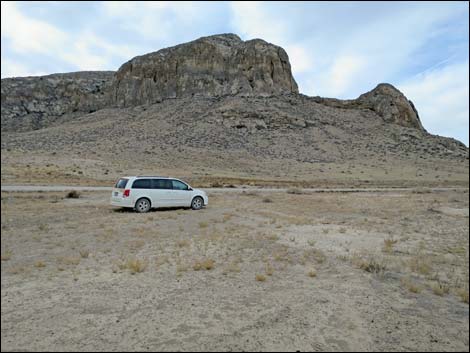 Water Gap SE Campsite (view W towards Golden Gate Range) |
Table 1. Hiking Coordinates based on GPS data (NAD27; UTM Zone 11S). Download Hiking GPS Waypoints (*.gpx) file.
| Site | Location | UTM Easting | UTM Northing | Latitude (N) | Longitude (W) | Elevation (ft) |
|---|---|---|---|---|---|---|
| Water Gap SE | Campsite on SE corner of Water Gap | 644924 | 4211059 | 38.03747 | 115.34945 | 5,052 |
Happy Hiking! All distances, elevations, and other facts are approximate.
![]() ; Last updated 240323
; Last updated 240323
| Basin and Range Campsites | Hiking Around Las Vegas | Glossary | Copyright, Conditions, Disclaimer | Home |