Backroads Around Las Vegas, Basin and Range National Monument
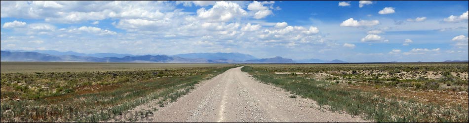
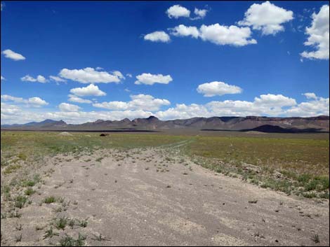
 Highway 318, approaching Seaman Wash Road (view NE) |
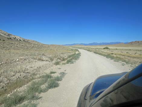
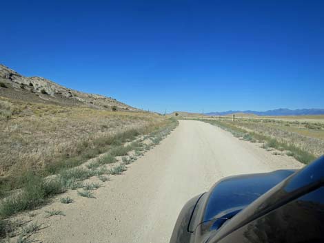
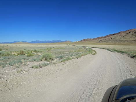
Overview Seaman Wash Road is a well-maintained dirt road that normally is suitable for 2WD vehicles. The road starts along Highway 318 north of Hiko and runs northwest through a narrow canyon, up over a low pass, down across Coal Valley, and ends at an intersection with Timber Pass Road at a gap in the Golden Gate Range called Water Gap. Seaman Wash Road is the shortest way to Heizer's City, the community of Cherry Creek in the Quinn Canyon Range, and it provides sightseers spectacular scenery, ranchers access to their herds, and residents a way home. Link to photos of Seaman Wash Road -- Southbound (select photos of returning to the pavement) |
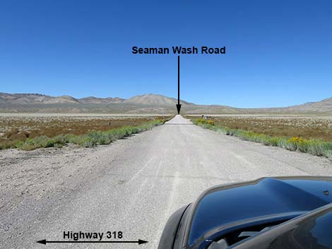
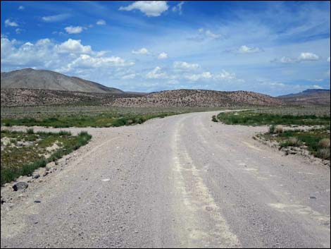
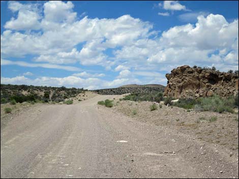
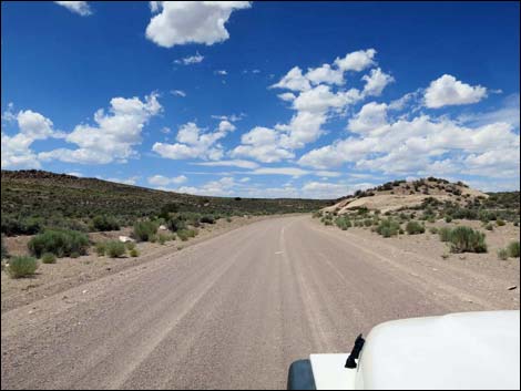
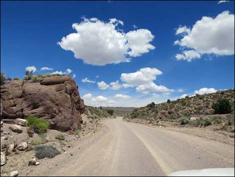
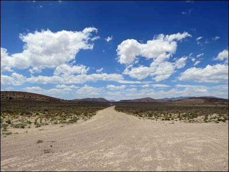
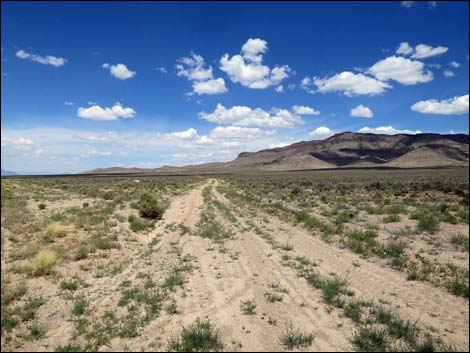
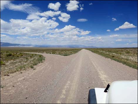
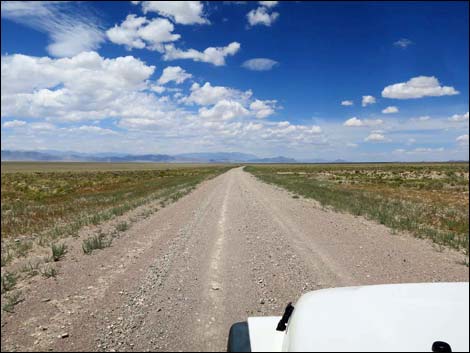
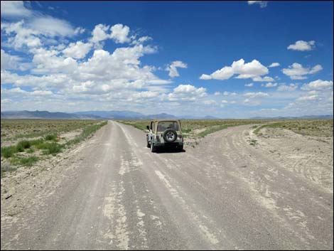
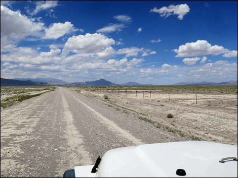
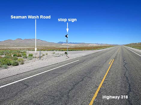 Highway 318 at Seaman Wash Road (view NE) |
Watch Out Other than the standard warnings about driving in the desert, ...this road is pretty safe, but be sure that your vehicle is in good working condition, carry plenty of water (radiator and drinking), and pack a lunch. Always drive carefully; even though the road is well maintained, there are occasional hazards such as errant boulders in the roadway. While out, please respect the land and the other people out there, and try to Leave No Trace of your passage. This road goes into remote areas, so be sure to bring the 10 Essentials. Cell phones don't work. |
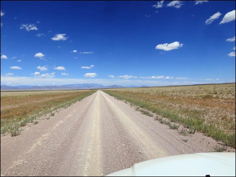
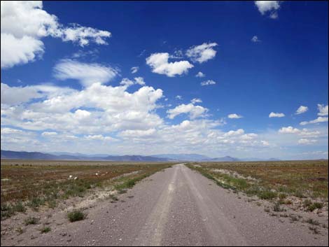
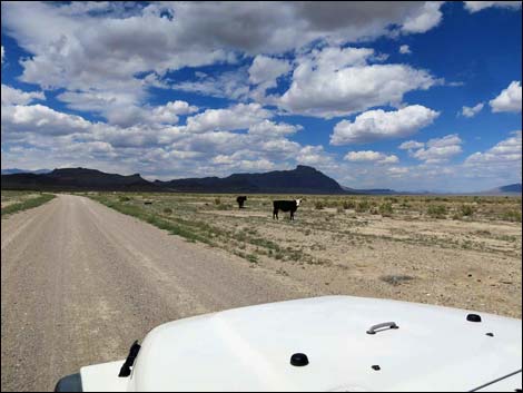
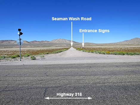 Seaman Wash Road (view NW from Highway 318) |
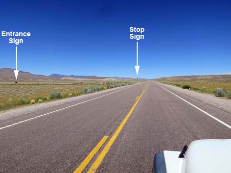
Getting to the Road Seaman Wash Road is located in the east-central part of Basin and Range National Monument, about 2 hours (124 miles) northeast of Las Vegas driving directly, or about 15 minutes (17.4 miles) north of the intersection of Highway 93 and Highway 318. From Las Vegas, drive north on Interstate-15 for 21 miles to Highway 93. Turn left onto Great Basin Highway (Hwy 93) and top off the gas tank if necessary. Drive north past the towns of Alamo (95 miles from Las Vegas) and Ash Springs (102 miles) to the intersection of Highway 93 and Highway 318 (107 miles). Gasoline is available in Alamo, Ash Springs, Rachael, and Lund. Turn left onto Highway 318 and drive west then north on Highway 318 for 17.4 miles to Seaman Wash Road on the left. The intersection is marked by a stop sign with a solar powered flashing red light, but no road signs. |
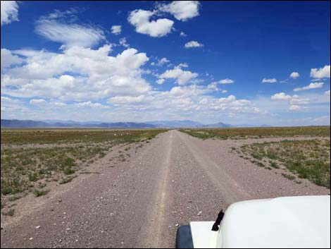
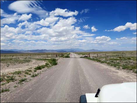
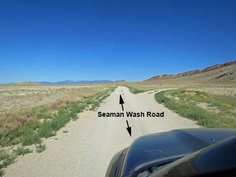
 Turning onto Seaman Wash Road (view W) |
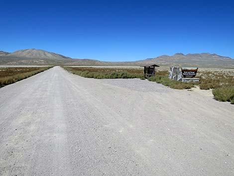
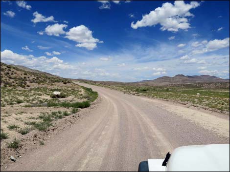
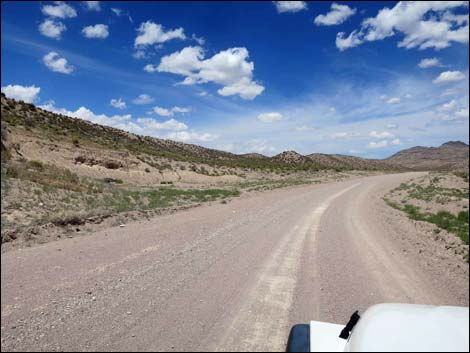
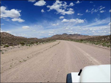
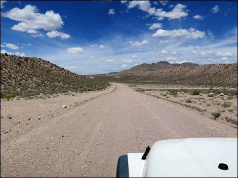
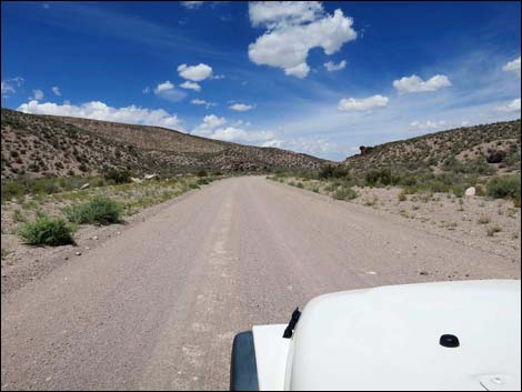
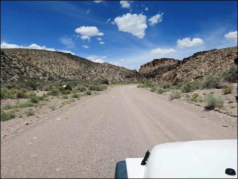
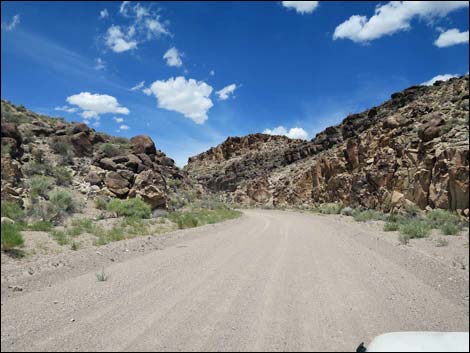
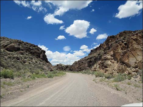
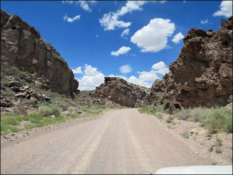
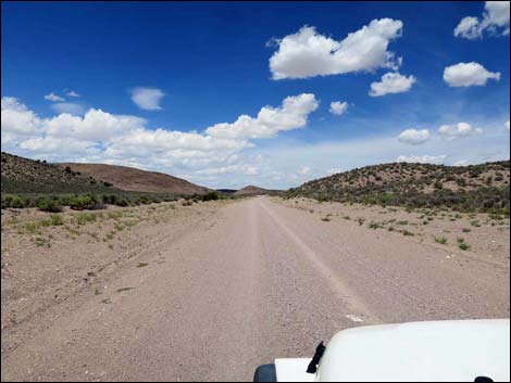
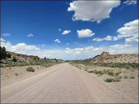
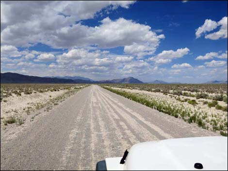
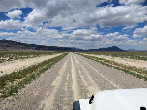
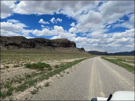
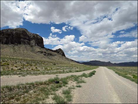
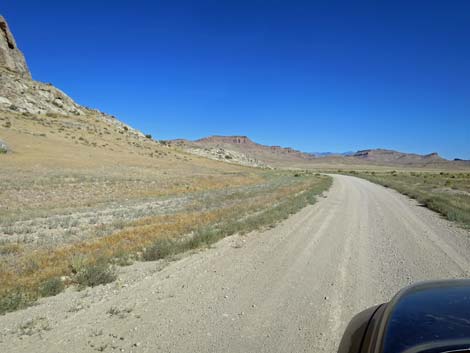
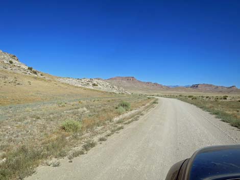
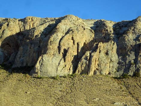
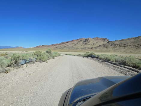
The Road From the pavement (Table 1, Site 1548), Seaman Wash Road runs west-northwest, passing the entrance sign and an information kiosk. The road continues across the valley-bottom desert flats covered with low shrubs towards a low point in the Seaman Range in the distance. In about 0.6 miles, the road begins to run up Seaman Wash where low hills hem in the road can concentrate the view in the broad wash. At about 4 miles out, the road enters the sinuous Seaman Narrows, a narrow section that lasts for about 0.3 miles. The road here is good, so be careful to keep the speed down in case someone is careening down the road -- don't meet on a blind corner. Beyond Seaman Narrows, the road winds up the canyon, but the walls lay back providing fleeting views of the surrounding area. |
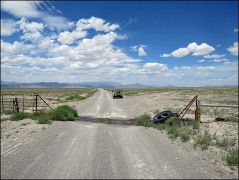
 Seaman Wash Road at cattle guard (view NW) |
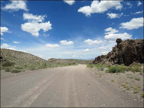
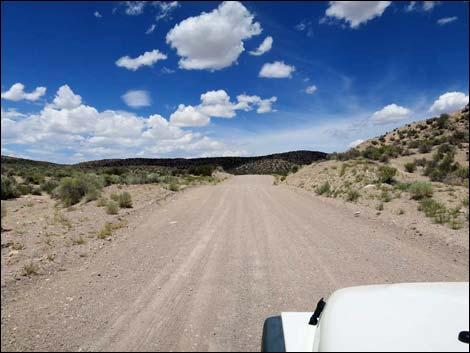
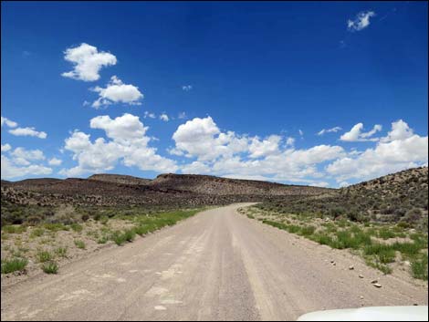
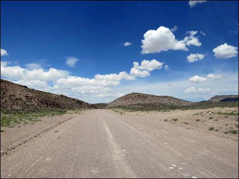
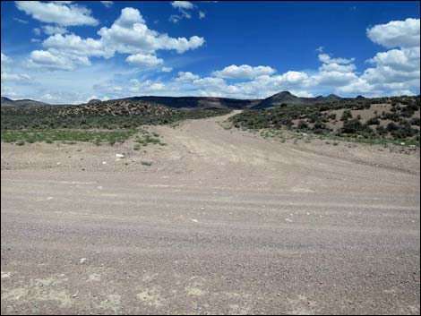
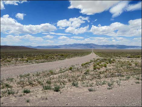
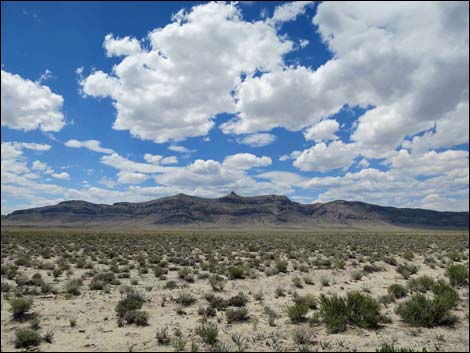
At about 7.7 miles out, the road runs up a low canyon and crosses onto a broad ridge that seems like the highpoint. This spot provides nice views, but the road runs across rolling country for another mile before reaching the pass at the top of the Seaman Range. At about 8.4 miles out, still in the Seaman Range, the road finally crosses a broad saddle into Coal Valley and straightens to head northwest into the endless distance. To this point, all side roads clearly appear to be side roads. However, at 8.5 miles out (just past the saddle), the road forks. Here, Seaman Wash Road stays right. At this point, the road begins a long, gradual descent into Coal Valley, a grand, wide-open valley bordered by mountain ranges. The road runs more or less straight and smooth, but watch for errant boulders on the road. Coal Valley runs more directly north-south, so the road gradually crosses from the east side to the west side. |
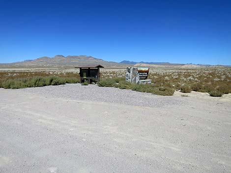
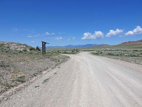
 Seaman Wash Road approaching entrance sign (view NW) |
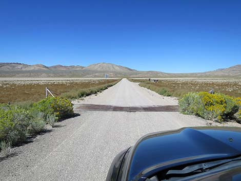
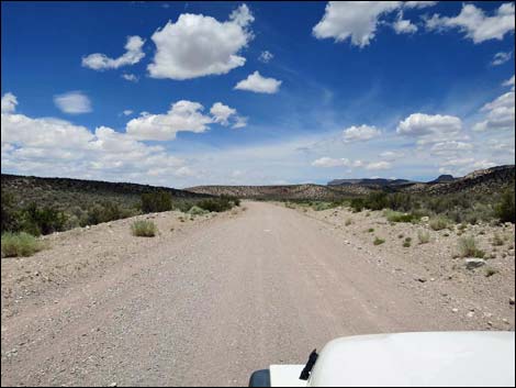
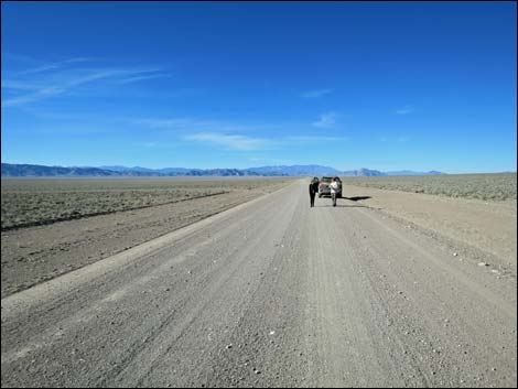
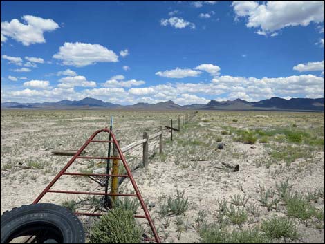
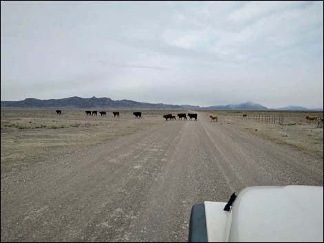
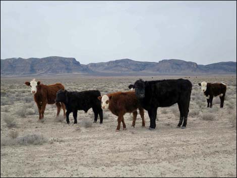
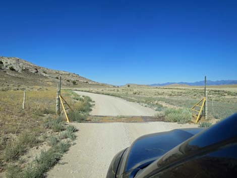
At about 15.5 miles out, the road crosses a cattle guard (Site 1589) where fencing stretches east and west as far as the eye can see. This is a good place to stop, get out of the car, stretch the legs, and soak in the full glory of a wide-open basin bordered by ranges. A bit beyond the cattle guard, the road bends to the left (more northwest) and continues to run straight for another 3 miles. Here, near Coal Valley Reservoir and Sheep Reservoir, is a good place to look for cows and other animals coming in for water. Beyond the reservoirs, the road bends back to the north and now runs straight towards Water Gap, a gap in the Golden Gate Range. |
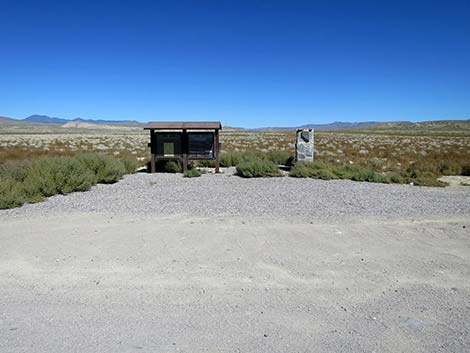
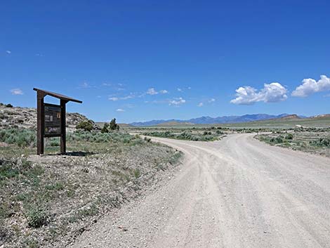
 Seaman Wash Rd at entrance sign and information kiosk (view NW) |
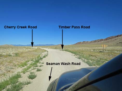
The road slowly gets closer and closer to the Golden Gate Range. When the dark gray cliffs of the Golden Gate Range are almost close enough to touch, Coal Valley West Road (Site 1558) merges from the left, and shortly Seaman Wash Road rounds a corner to the left below a rocky buttress and turns west into Water Gap (25.5 miles out). Passing through Water Gap, Seaman Wash Road runs west for another mile to a fork (Site 1559). The road to the left runs south into Garden Valley, while Seaman Wash Road stays right, crosses a bridge over Cherry Creek Wash, and ends at a triangular intersection (26.8 miles out; Site 1560) with Timber Mountain Pass Road to the right and Cherry Creek Road to the left. Continue to the left to the Heizer Ranch and Cherry Creek, or return to Highway 318 via Timber Mountain Pass Road. |
 Entrance sign and information kiosk (view NW) |
 Entrance sign and information kiosk (view NW) |
 Entrance sign and information kiosk (view NW) |
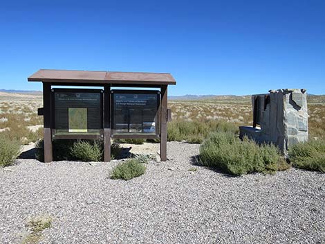
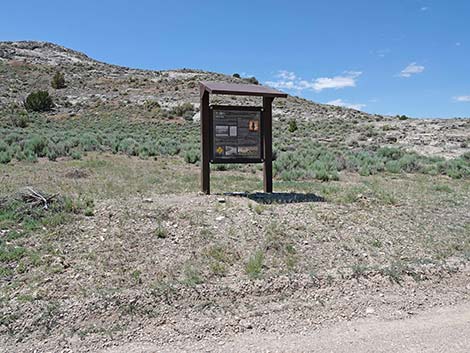
 Information kiosk (view NW) |
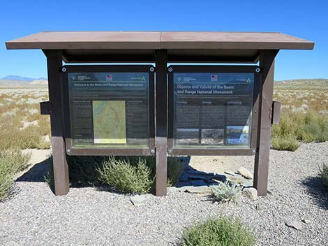
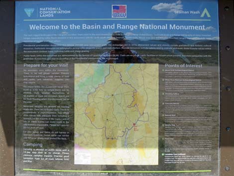 Area map with points of interest |
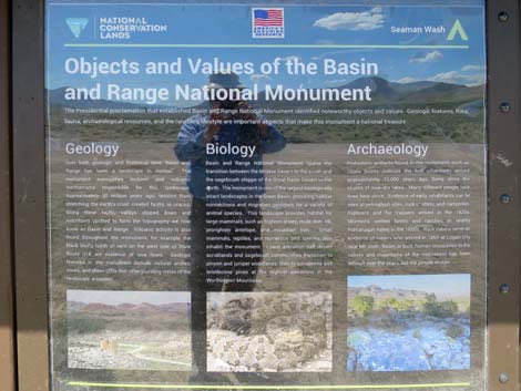 Information about Basin and Range National Monument |
 Entrance sign and information kiosk (view NW) |
 Entrance sign (view NW) |
 Seaman Wash Rd at cross road (view W) |
 First blind curve -- watch for oncoming traffic (view NW) |
 Approaching a borrow pit (view W) |
 Borrow pit campsite (view W) |
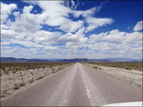
 Seaman Wash Road (view N toward Seaman Range peaks) |
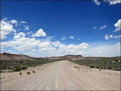
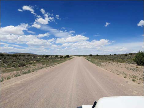
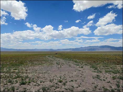
 Seaman Wash Valley (view NW) |
 Seaman Wash begins to narrow (view NW) |
 Approaching the first rocky crag (view NW) |
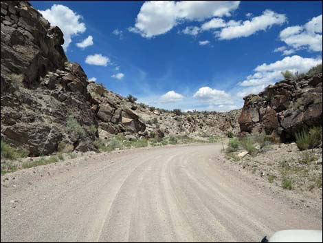
 Approaching Seaman Narrows (view NW) |
 Seaman Narrows (view NW) |
 |
 |
 Seaman Narrows (view NW) |
 Beyond Seaman Narrows (view W) |
 Winding into the hills (view NW) |
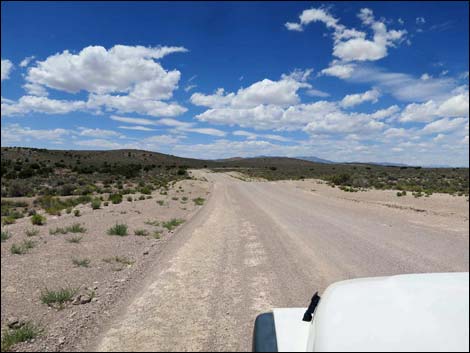
 Rolling through the hills (view NW) |
 Outcrop of volcanic ash on the right (view NW) |
 Winding through the hills (view NW) |
 Seaman Wash Rd at Chicken Inn Road (view NW) |
 Chicken Inn Road (view N from Seaman Wash Road) |
 |
 |
 |
 |
 |
 |
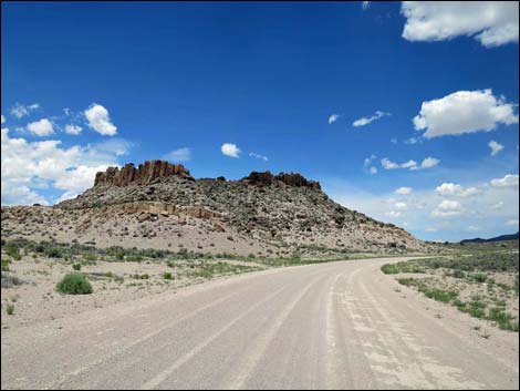
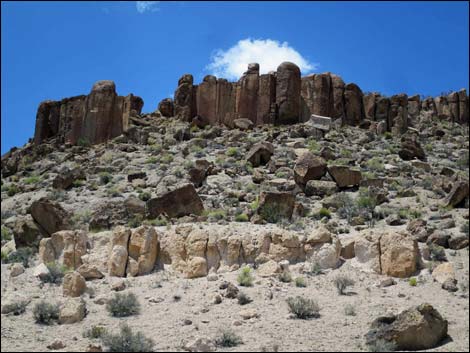
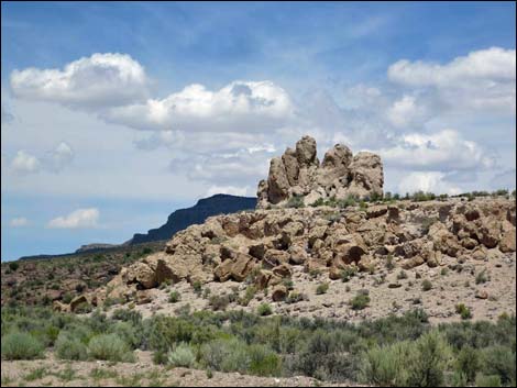 Stone castle (view N) |
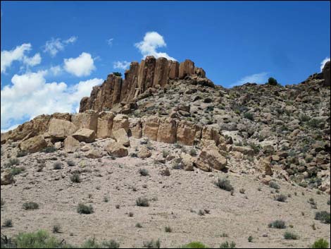
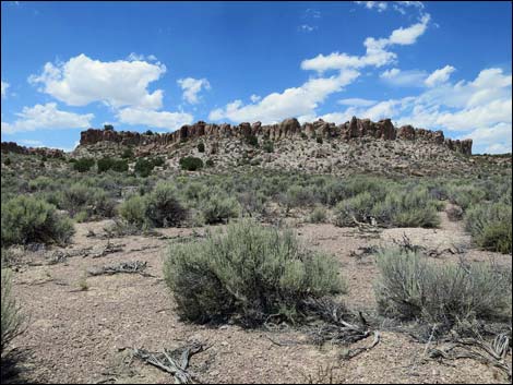 Rocky palisades (view W) |
 One last bit of road pinched between rocky outcrops (view N) |
 Approaching crest of Seaman Range (view NW) |
 Top of the Seaman Range, but not quite the pass (view W) |
 Seaman Wash Rd at side road left (view NW) |
 Side road (view W) |
 First view down into Coal Valley (view NW) |
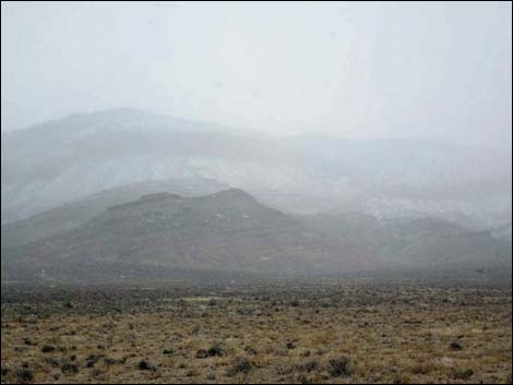 Seaman Range during a snow storm (view E) |
 Seaman Wash Rd at minor side road right (view NW) |
 Minor side road (view N) |
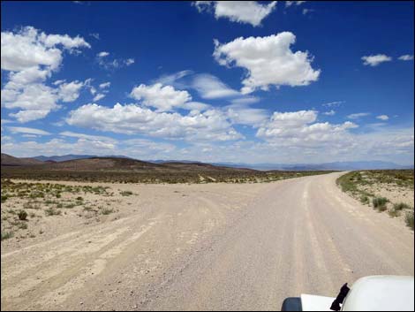
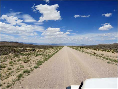
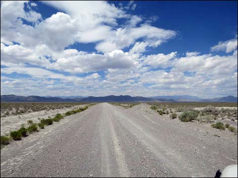
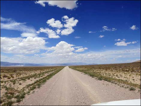 Seaman Wash Road in Coal Valley (view NW) |
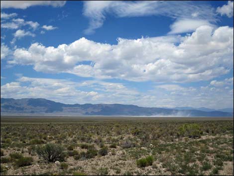 Blowing dust on Coal Valley Playa (view NW) |
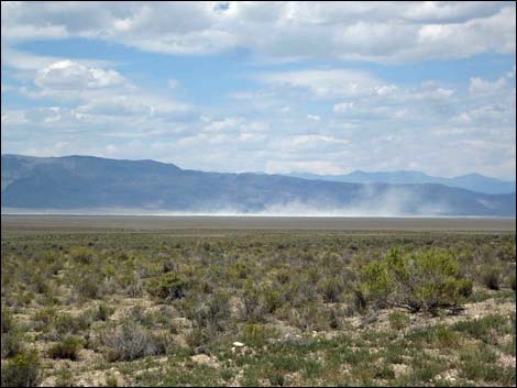 Blowing dust on Coal Valley Playa (view NW) |
 Seaman Wash Rd at side road left (view NW) |
 Side road (view W) |
 Visitors experiencing the grand, wide open spaces (view NW) |
 Seaman Range (view E from Seaman Wash Road) |
 Seaman Wash Rd in bottom of Coal Valley (spring; view NW) |
 Seaman Wash Rd in bottom of Coal Valley (summer; view NW) |
 Seaman Wash Rd at cross road (view NW) |
 Side road left to cattle trough (view W) |
 Side road right to water tank (view E) |
 Seaman Wash Rd in bottom of Coal Valley (view NW) |
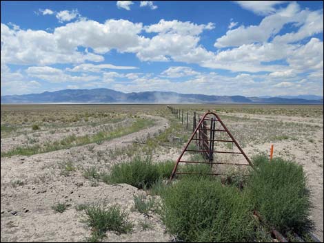
 Approaching cattle guard and fenceline (view NW) |
 Cattle guard and fenceline (view NW) |
 Endless fenceline to the Golden Gate Range (view NW) |
 Endless fenceline to the Seaman Range (view NE) |
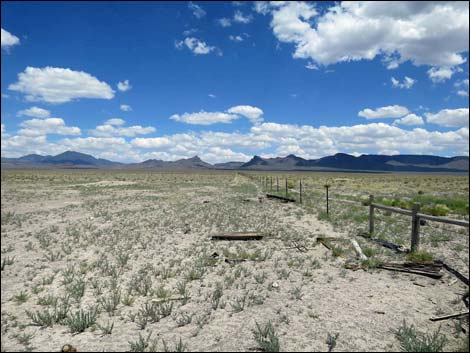 Endless fenceline to the Seaman Range (view NE) |
 Grand scenery (view E from near cattle guard) |
 Seaman Wash Rd at major side road right (view NW) |
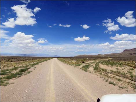
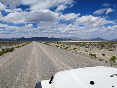
 Seaman Wash Rd in bottom of Coal Valley (view NW) |
 Seaman Wash Rd at side road right (view NW) |
 Approaching cattle watering area (view NW) |
 Fencing along cattle watering area (view NW) |
 Road hazards -- especially at night (view NW) |
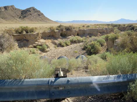
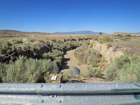
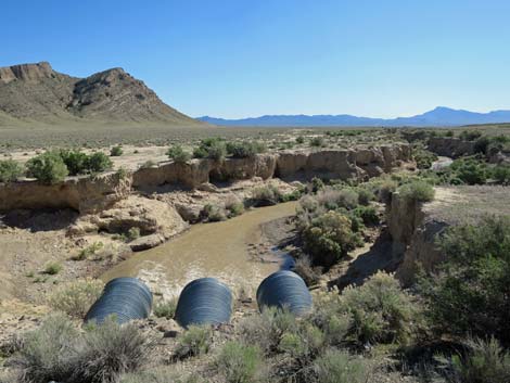
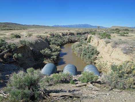
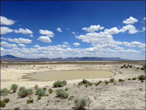 Water catch-basin (view NE) |
 What are you looking at? |
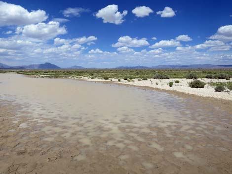 Rainwater catch-basin (view E) |
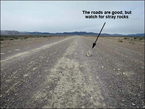 This road hazard could easily slice open a tire (view NW) |
 Seaman Wash Rd in bottom of Coal Valley (view NW) |
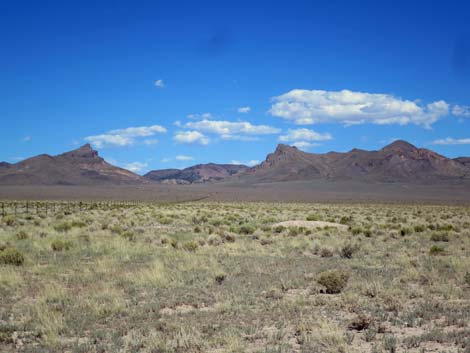
 Golden Gate Range far across Coal Valley (view W) |
 Seaman Wash Road can be seen reaching the Golden Gate Range Seaman Wash Road can be seen reaching the Golden Gate Range |
 Golden Gate Range far across Coal Valley (view W) |
 Seaman Wash Rd approaching the Golden Gate Range (view NW) |
 Coal Valley West Rd merges into Seaman Wash Rd (view NW) |
 A few more cows (view N) |
 Seaman Wash Road (view NW) |
 Seaman Wash Road approaching Water Gap (view NW) Seaman Wash Road approaching Water Gap (view NW) |
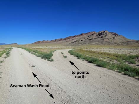
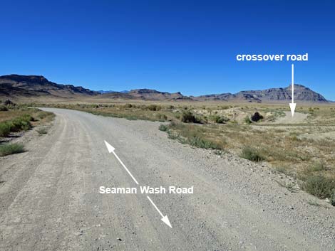 Seaman Wash Rd approaching cross-over to points north (view NW) |
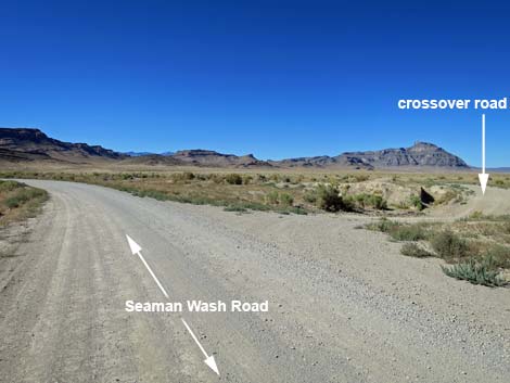 Seaman Wash Rd at cross-over road to points north (view NW) |
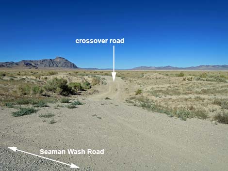 Cross-over road to points north (view NW from Seaman Wash Rd) |
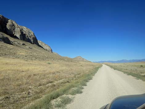
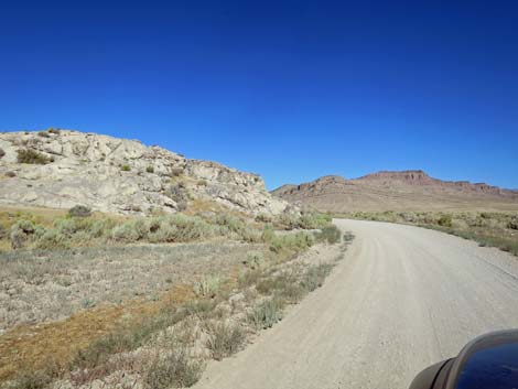 Approaching the toe of the Golden Gate Range (view NW) |
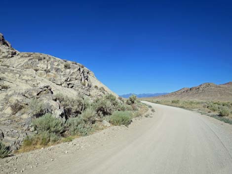 Rounding the toe of the Golden Gate Range (view NW) |
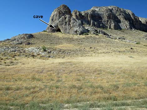 Limestone buttress with cave (view S) |
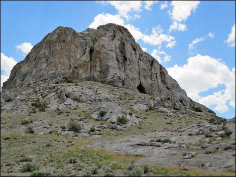 Limestone buttress at edge of Water Gap (view SW) |
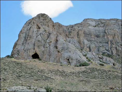 Cave in limestone buttress (view S) |
 Seaman Wash Road runs through Water Gap (view W) |
 Curious formations in limestone buttress above water gap (view S) |
 Seaman Wash Road continues through Water Gap (view W) |
 Seaman Wash Road approaching fence line (view W) |
 Cattle guard and fencing in Water Gap (view W) |
 Seaman Wash Road approaching Garden Valley Road (view NW) |
 Seaman Wash Road approaching information sign (view NW) |
 Water Gap information sign (view S from Seaman Wash Road) |
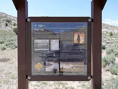 Water Gap information sign (view S) |
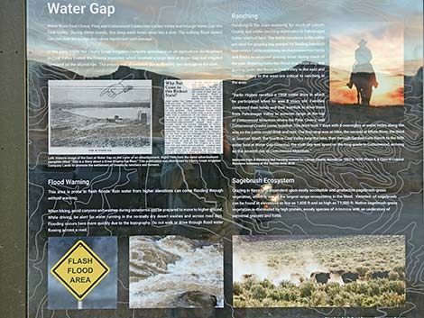 Water Gap information sign (view S) |
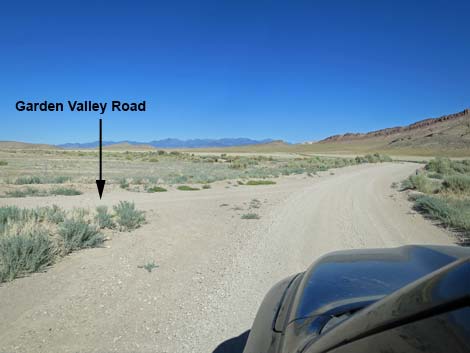
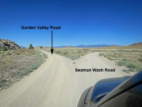 Seaman Wash Road at Garden Valley Road (view NW) |
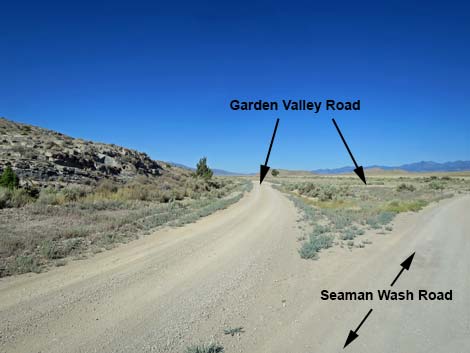 Garden Valley Road (view W from Seaman Wash Road) |
 Ever intersection out here is a triangle intersection (view NW) |
 Seaman Wash Road approaching bridge over Cherry Creek (view NW) |
 Cherry Creek downstream towards Coal Valley usually is dry (view E) |
 Cherry Creek upstream towards Garden Valley usually is dry (view W) |
 Crossing Cherry Creek after a wet winter (view E, downstream) |
 Crossing Cherry Creek after a wet winter (view W, upstream) |
 Seaman Wash Road continuing past Cherry Creek bridge (view NW) |
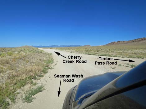
 Approaching triangle intersection with Timber Pass Rd (view NW) |
 Triangle intersection with Timber Pass Rd (view NW) |
 Road sign at intersection of three roads (view NW) |
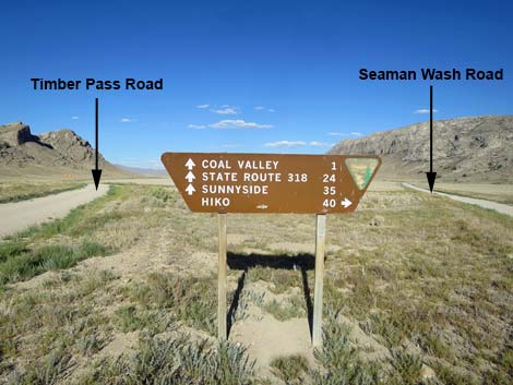 Front-side of the sign at the intersection (view E) |
 Seaman Wash Road ends at Timber Pass and Cherry Creek roads |
 More to come ... |
Table 1. Highway Coordinates and Distances based on GPS Data (NAD27). Download GPS waypoints (gpx) file.
| Wpt. | Location | Latitude (N) | Longitude (W) | Elevation (ft) | Point-to-Point Distance (mi) | Cumulative Distance (mi) | Verified |
|---|---|---|---|---|---|---|---|
| 1548 | Hwy 318 at Seaman Wash Rd | 37.74011 | 115.11826 | 4,236 | 0.00 | 00.0 | Yes |
| 1589 | Seaman Wash Rd @ Cattle Guard | 37.91878 | 115.25844 | 4,947 | 15.50 | 15.5 | Yes |
| 1558 | Seaman Rd at Coal Valley W Rd | 38.03557 | 115.34776 | 5,020 | 9.60 | 25.1 | Yes |
| 1559 | Seaman Rd at Garden Valley Rd | 38.03960 | 115.36902 | 5,040 | 1.40 | 26.5 | Yes |
| 1560 | Seaman Rd at Cherry Creek Rd | 38.04227 | 115.37550 | 5,069 | 0.10 | 26.6 | Yes |
Happy Hiking! All distances, elevations, and other facts are approximate.
![]() ; Last updated 240324
; Last updated 240324
| Basin and Range | Backroads | Hiking Around Las Vegas | Glossary | Copyright, Conditions, Disclaimer | Home |