Hiking Around Las Vegas, Basin and Range National Monument
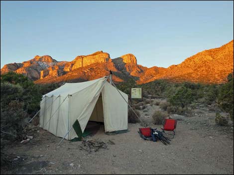 |
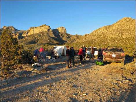
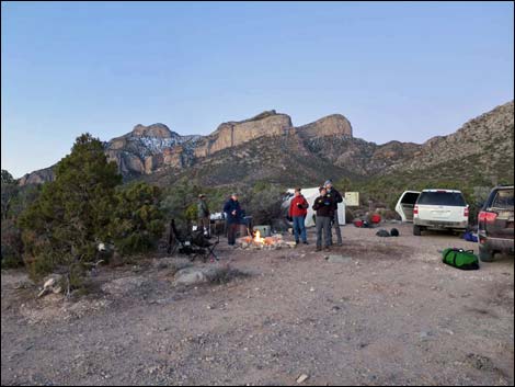
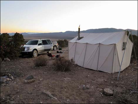
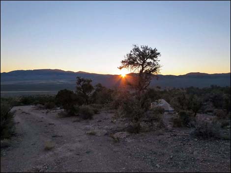
Overview There is one developed campground in Basin and Range National Monument (Mt. Irish Campground). Otherwise, there are no facilities of any kind, but primitive camping is legal everywhere along existing roads and trails, and there are a number of traditional campsites scattered throughout the area. Along Leviathan Cave Access Road, out in the east slopes of the Worthington Range, there are several primitive campsites traditionally used by hikers before trekking to Leviathan Cave. There are four sites lower down (before the road gets rough) and one at the end of the road. Most of the sites can accommodate several trucks and a few tents, although one campsite halfway up the road and the campsite at the end of the road have the most tent space. Pack it in - Pack it out. Link to map. |
 |
Getting to Camp The Leviathan Cave Trailhead Campsites are located in the west-central portion of Basin and Range National Monument, about 3-1/2 hours northeast of Las Vegas. From Las Vegas, drive north on Interstate-15 for 21 miles to Highway 93. Drive north on Highway 93 past the towns of Alamo and Ash Springs to Highway 318. Turn left onto Highway 318 and drive north for 9.4 miles to Mail Summit Road on the left. Turn left onto Mail Summit Road and drive northwest 25.2 miles. The road climbs steeply over the crest of the Seaman Range, winds down into the south end of Coal Valley, bends left to run west across Coal Valley and up through Murphy Gap. Mail Summit Road climbs out of Wild Horse Valley, crosses a broad pass, and descends through an open canyon into Garden Valley. In Garden Valley, take either Garden Valley South Road or Garden Valley West Road to Leviathan Cave Access Road, which leads to the campsites and the trailhead. |
 |
 |
 |
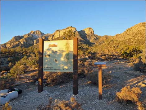 |
Table 1. Hiking Coordinates based on GPS data (NAD27; UTM Zone 11S). Download Hiking GPS Waypoints (*.gpx) file.
| Site | Location | UTM Easting | UTM Northing | Latitude (N) | Longitude (W) | Elevation (ft) |
|---|---|---|---|---|---|---|
| Leviathan | Leviathan Road Trailhead | 624615 | 4189188 | 37.84348 | 115.58373 | 6,349 |
Happy Hiking! All distances, elevations, and other facts are approximate.
![]() ; Last updated 240323
; Last updated 240323
| Basin and Range Campsites | Hiking Around Las Vegas | Glossary | Copyright, Conditions, Disclaimer | Home |