Backroads Around Las Vegas, Basin and Range National Monument
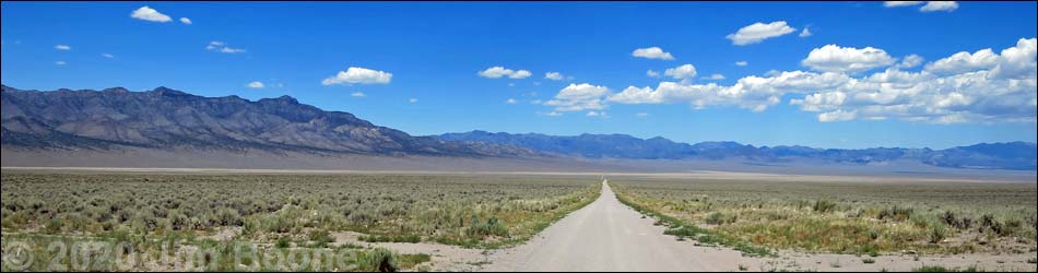
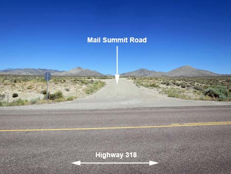
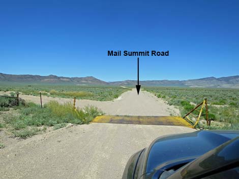
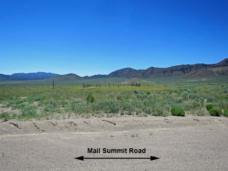
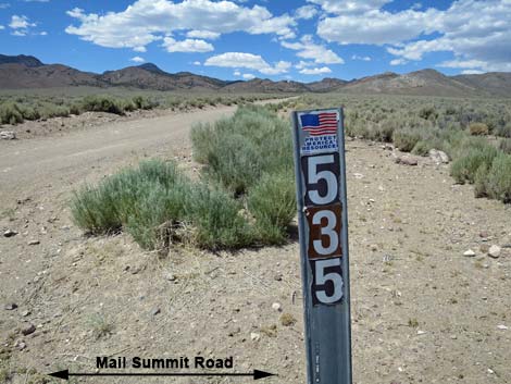
 Highway 318, at Mail Summit Road sign (view NE) |
Overview Mail Summit Road is a maintained dirt road that normally is suitable for 2WD vehicles, but it is a bit rougher than the other roads climbing over the mountains. Mail Summit Road starts along Highway 318 north of Hiko and runs northwest up a canyon, over a mountain pass, down across Coal Valley, through Murphy Gap in the Golden Gate Range, up Wild Horse Valley, and then all the way across Garden Valley, ending at a T-intersection with Cherry Creek Road. For the other direction, see Mail Summit Road--Southbound. Mail Summit Road is a scenic way to get into the south ends of Coal and Garden valleys, and it provides sightseers spectacular scenery and ranchers access to their herds, but it isn't the quickest way to get to Heizer's City or to Cherry Creek. This is, however, the route to Leviathan Cave. |
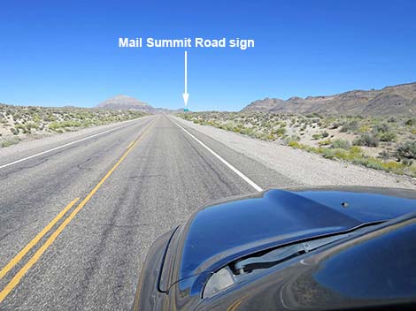
 Highway 318, approaching Mail Summit Road (view NE) |
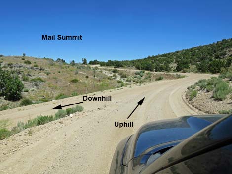
Watch Out Other than the standard warnings about driving in the desert, ... this road is pretty safe, but be sure your vehicle is in good working condition, carry plenty of water (radiator and drinking), and pack a lunch. Always drive carefully; even though the road is maintained, there are occasional hazards such as errant boulders in the roadway. Climbing over the mountains, there is a section where the road splits to make two parallel roads. This section should be considered one-way -- stay right at the fork coming and going. There are no signs and no laws, but both are steep, narrow, and winding. While out, please respect the land and the other people out there, and try to Leave No Trace of your passage. This road goes into remote areas, so be sure to bring the 10 Essentials. Cell phones don't work after departing Highway 318. |
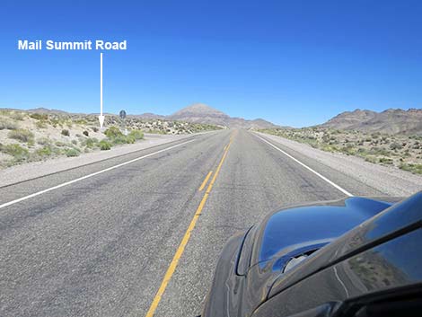
 Highway 318, approaching Mail Summit Road (view NE) |
Getting to the Road Mail Summit Road is located in the southeast part of Basin and Range National Monument, about 1-3/4 hours (116 miles) northeast of Las Vegas driving directly, or about 10 minutes (9.4 miles) north of the intersection of Highway 93 and Highway 318. From Las Vegas, drive north on Interstate-15 for 21 miles to Highway 93. Turn left onto Great Basin Highway (Hwy 93) and top off the gas tank if necessary. Drive north past the towns of Alamo (95 miles from Las Vegas) and Ash Springs (102 miles) to the intersection of Highway 93 and Highway 318 (107 miles). Gasoline is available in Alamo, Ash Springs, Rachael, and Lund. Turn left onto Highway 318 and drive west then north for 9.4 miles to Mail Summit Road on the left. Marked only by a stop sign, the intersection is hard to see from a distance. The intersection is also near the crest of a hill where north-bound drivers can't see oncoming traffic. |
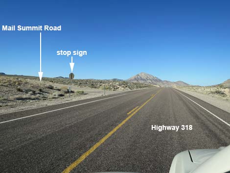
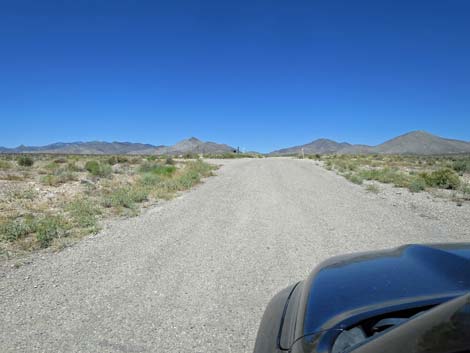
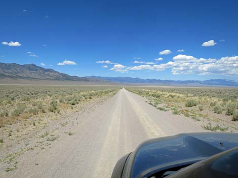
 Mail Summit Road (view NW from Highway 318) |
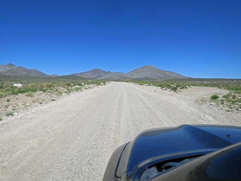
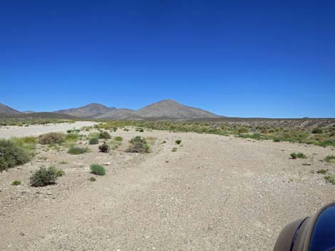
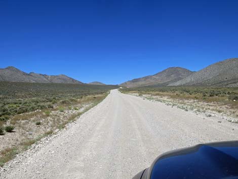
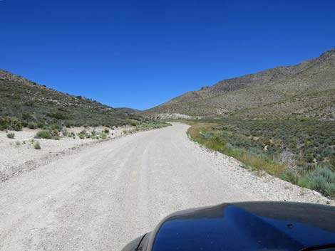
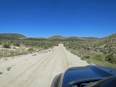
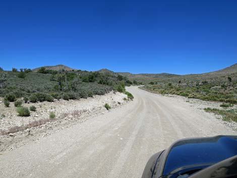
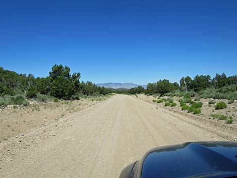
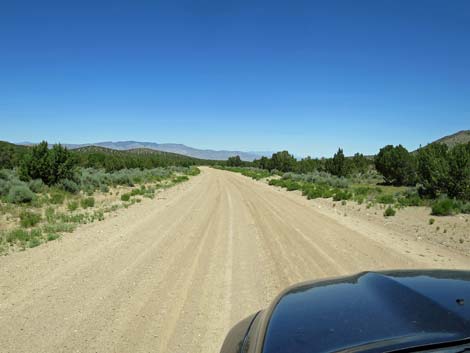
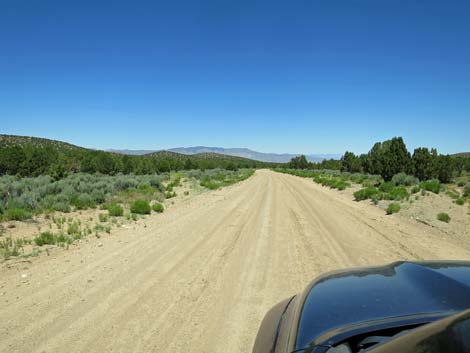
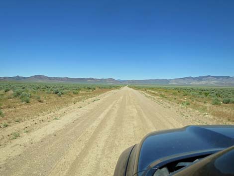
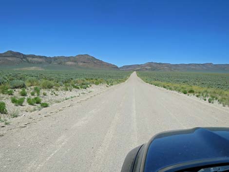
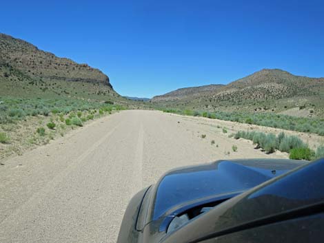
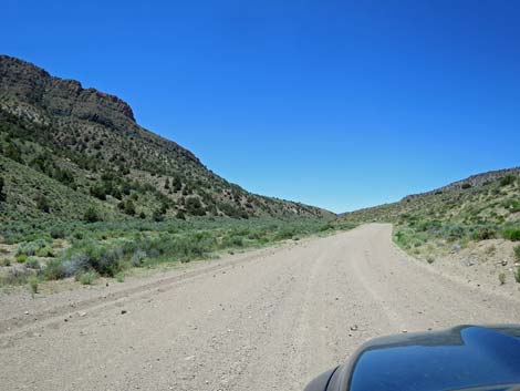
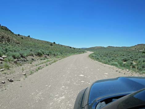
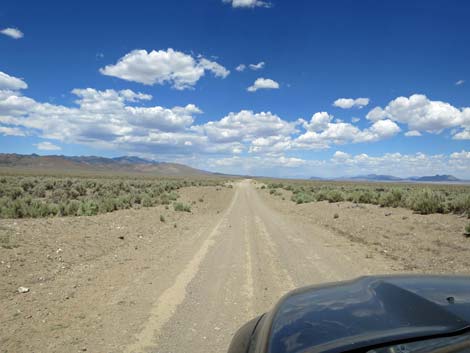
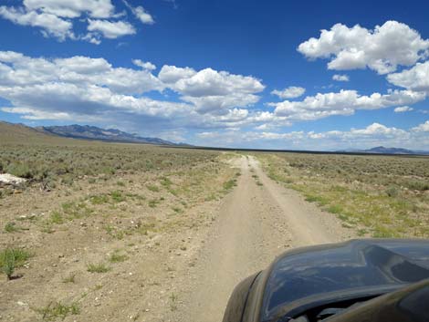
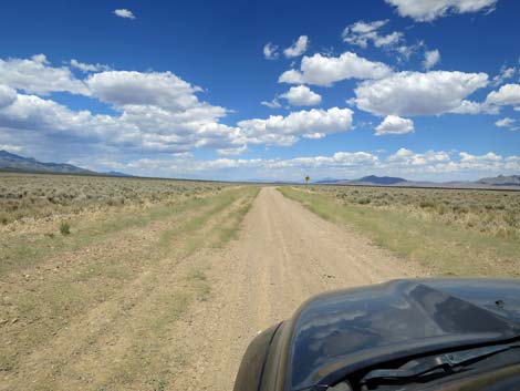
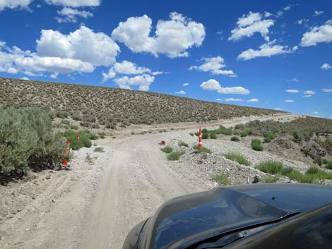
The Road From the pavement (Table 1, Site 0886), Mail Summit Road runs northwest and gently climbs an alluvial fan heading towards a gap in the mountains between the Mt. Irish Range (left) and the Seaman Range (right) in the distance. In about 1.5 miles, the road begins into a canyon and gently winds its way upward. At about 5 miles out, the canyon narrows, and the road becomes more curving, and then at 5.7 miles out, the road forks (Site 1115). The next 0.7 miles of road should be considered one-way -- stay right at the fork. At about 6.4 miles out, the two forks merge (Site 1116) and arrive on Mail Summit at about 5,650 ft elevation. The pass, a low point in the Seaman Range, is broad and without much of a view, but the summit and higher peaks around Mt. Irish can be seen to the south and the tops of the Golden Gate Range and Worthington Range can be seen to the west. |
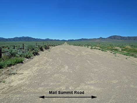
 Mail Summit Road is paved for the first few yards (view NW) |
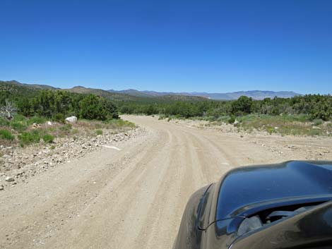
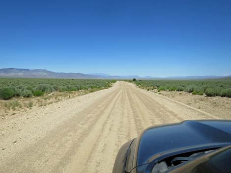
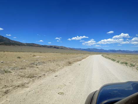
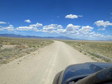
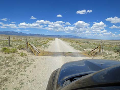
Continuing, the road runs north-northwest as it descends gentle grades in the Pinyon-Juniper Woodland. At about 8.5 miles out, the road forks. Mail Summit Road stays right (straight) to descend through the trees. At about 9.1 miles out, a side road turns off to the right, and by this point, the trees are thinning out. By 9.5 miles out, the trees are gone and the view down into Coal Valley becomes grand and sweeping. At 9.9 miles, a sign on the right announces Coal Valley as the road continues its gentle, straight descent into the valley. At about 11.2 miles out (Site 0888), Mail Summit Road bends left while a well-used, lesser road continues straight towards the bottom of Coal Valley. Now running west-northwest, the road cuts across the south end of Coal Valley where nothing obstructs the view. At about 14.0 miles out, the road crosses a cattle guard (Site 1571), then continues west towards Murphy Gap in the Golden Gate Range. |
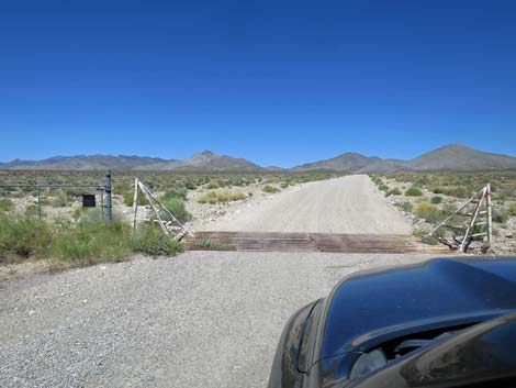 Cattle guard at edge of highway right-of-way (view NW) |
Nearing Murphy Gap, Mail Summit Road bends to the left and forks (17.2 miles out). Both forks merge ahead beyond the hill, but the main road stays left. Shortly, at about 17.3 miles out, the road forks again (Site 1570), this time with a very hard bend to the right. This is Coal Valley West Road, which descends into the bottom of coal Valley and follows up along the east edge of the Golden Gate Range. Shortly, Mail Summit Road descends a steep hillside (17.4 miles out) towards Cold Springs Wash. The road stays above the bottom of Cold Springs Wash as it runs through Murphy Gap. Just beyond the gap, at about 18.6 miles out, there is a directional sign on the left with no apparent road intersection. It seems the intersection was realigned but the sign was left in the original place. Shortly, at 18.7 miles out, Wild Horse Road (Site 0889) branches off to the left and runs south to Highway 375. Continuing, Mail Summit Road begins to curve to the right and head northwest again. The curve at 19.3 miles out is the sharpest along this well-maintained, high-speed road. The road runs up a broad wash and eventually crests out on a broad saddle and visitors get their first views down into Garden Valley. |
 Mail Summit Road at campsite pull-off (view NW) Mail Summit Road at campsite pull-off (view NW) |
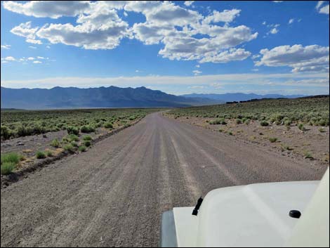
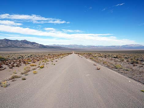
The road winds gently as it descends into Garden Valley. At about 24.7 miles out, a sign on the right announces Garden Valley. At 25.2 miles out, road skirts the end of a rocky ridge, a scenic place to stop for a photo and stretch the legs. Shortly thereafter, at 25.5 miles, Mail Summit Road passes an intersection (Site 1552) with a two-track road. The road to the left (Garden Valley South Road) cuts across the valley to another two-track (Garden Valley West Road), which leads to Leviathan Cave in the Worthington Range. Continuing on Mail Summit Road, the views are more and more grand as the straight and smooth road glides into the bottom Garden Valley. At 29.5 miles out, Mail Summit Road crosses a lesser road (Site 0890). To the left, Garden Valley West Road runs southwest towards the Worthington Range and provides access to Leviathan Cave from the north. To the right, Garden Valley Southeast Road winds about, but runs northeast to Water Gap (near Heizer's City) and off to the pavement at Highway 318. |
 Campsite pull-off (view NW) |
Continuing, Mail Summit Road descends into the bottom of Garden Valley where little but Shadscale Saltbush can survive in the salty muds. Climbing out the other side, the road curves right to parallel the base of the Worthington Range. At about 33.8 miles out (Site 1569), a minor road forks left that leads to the Worthington mining district, and one forks right that leads towards Water Gap. At 35.5 miles out, the road forks (Site 1568). Mail Summit Road stays right, while the left can be used to exit the area to the pavement near Rachael. At 36.0 miles out (Site 1567), a road to the left connects back to the road to Rachael. At 36.2 miles out, the road forks and Mail Summit Road stays right. This and several more left turns lead westward into Cottonwood Canyon. |
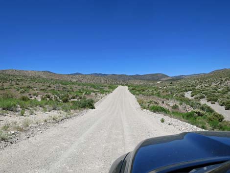
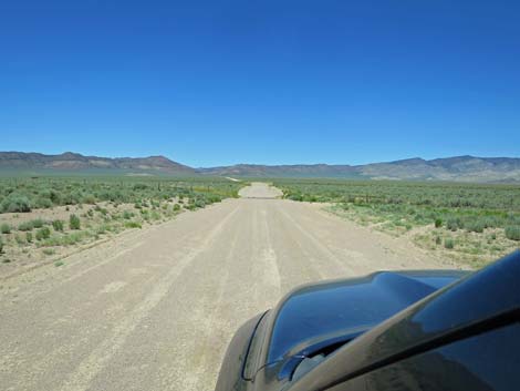
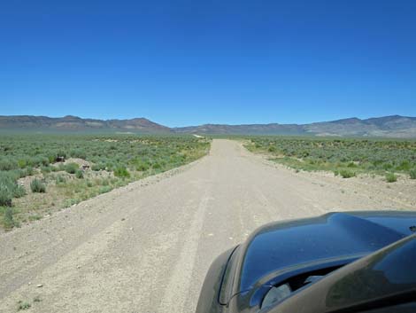
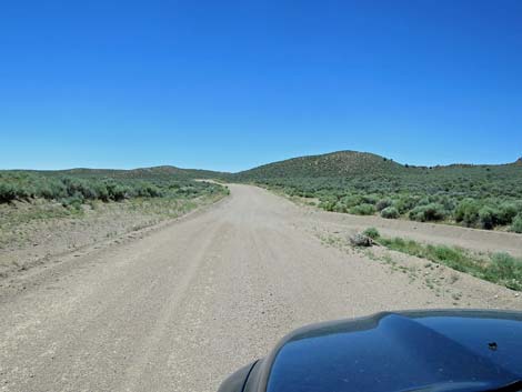
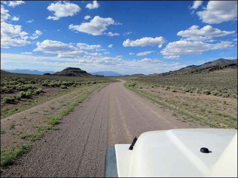
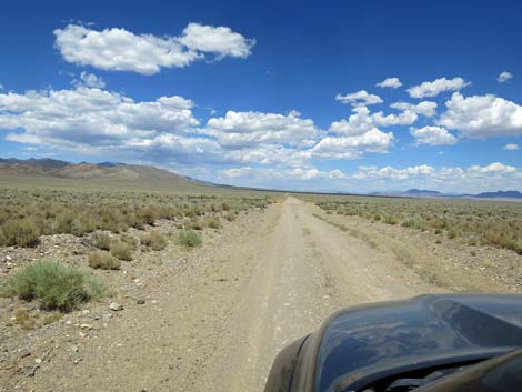
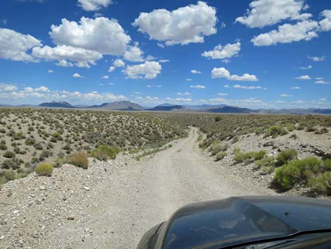
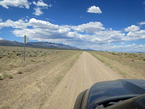
 Mail Summit Road runs towards a gap in the mountains (view NE) |
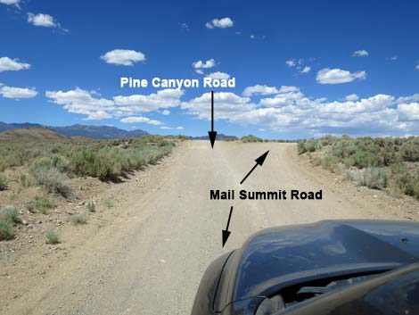
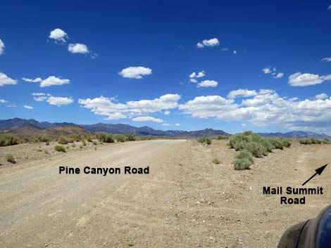
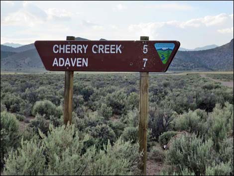
At 39.2 miles out, Mail Summit Road arrives at a cattle guard (Site 1566) and road intersections. Here, the road left (before the cattle guard) runs northwest into Pine Creek Canyon, while the road right (after the cattle guard) runs southeast towards Water Gap. Continuing northeast, Mail Summit Road eventually bends hard to the right (45.6 miles out), descends the hillside, and then drop into and crosses Cherry Creek Wash (46.1 miles) in a rough, narrow, and steep way that is uncharacteristic of this road. Climbing out the other side of the wash, Mail Summit Road ends at a T-intersection with Cherry Creek Road (Site 1594). To the left, the road runs up to the community of Cherry Creek and the historic townsite of Adaven, while to the right the road crosses Garden Valley, passing Heizer's Ranch and Water Gap, and returns to the pavement at Highway 318. |
 |
 |
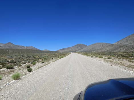
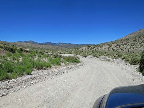
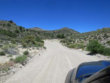
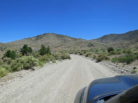
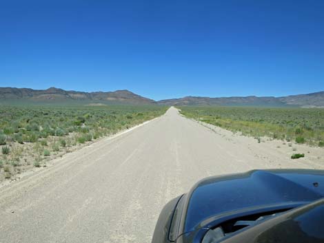
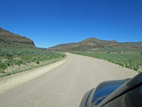
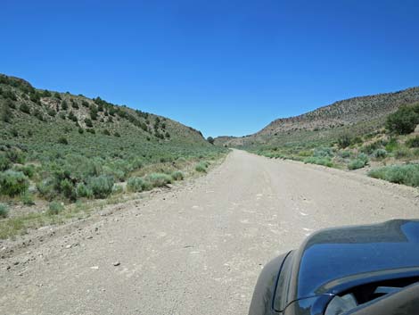
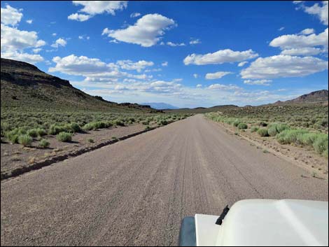
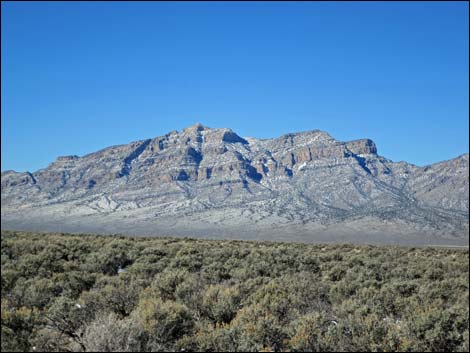
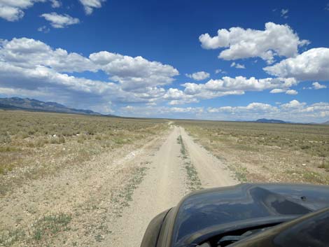
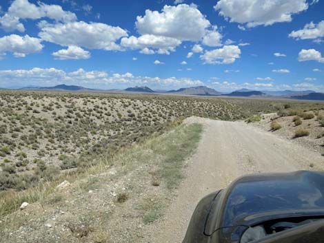
 Mail Summit Road climbing into the mountains (view NE) |
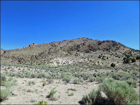
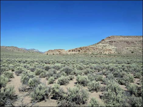
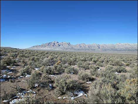
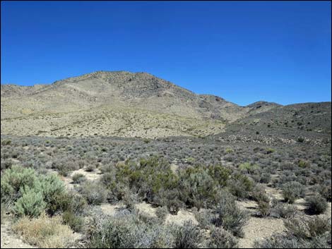 Grand scenery north of the road |
 |
 |
 |
 |
 |
 |
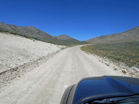
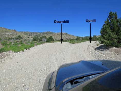 Fork in the road: uphill stays right (view NW) |
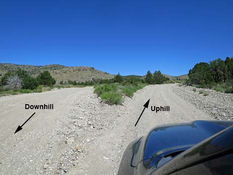 Fork in the road: uphill stays right (view NW) |
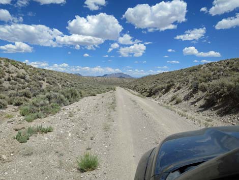
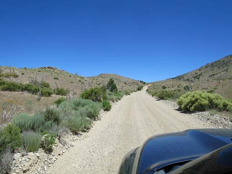 The road narrows (view N) |
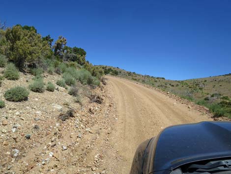 Steep, narrow roadway (view N) |
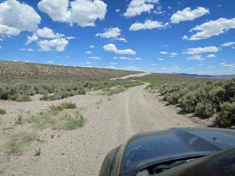
 Near the crest of the ridge, the forks rejoin (view N) |
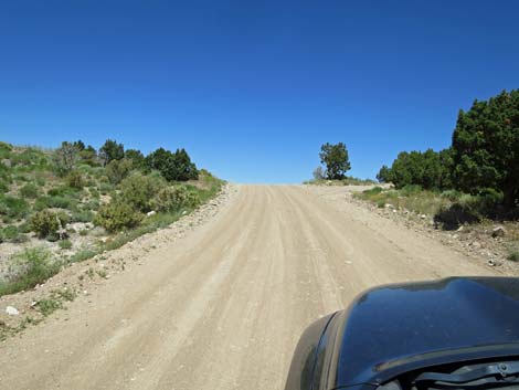 Mail Summit Road approaching Mail Summit (view NW) |
 Mail Summit (view NW towards Coal Valley) |
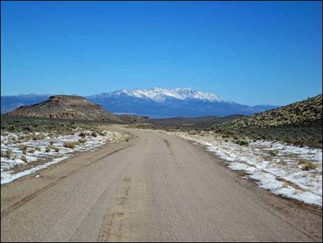
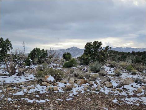 Mail Summit during winter (view S towards Mt. Irish) |
 |
 |
 Mail Summit Road at minor side road to campsite (view N) |
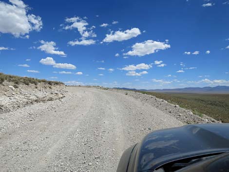
 Mail Summit Road descending towards Coal Valley (view NW) |
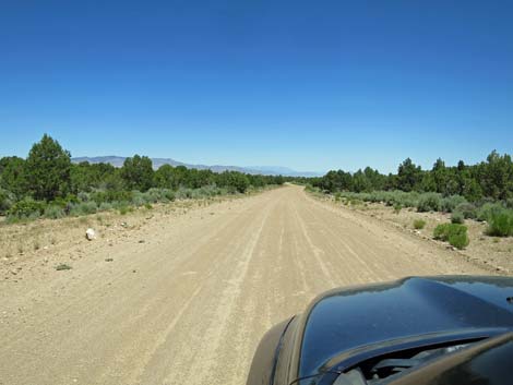 Mail Summit Road descending towards Coal Valley (view NW) |
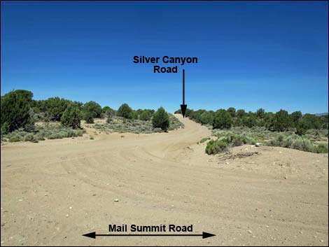
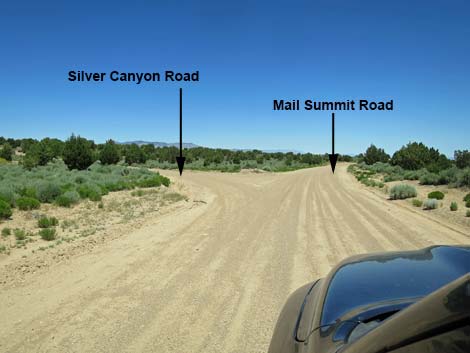 Mail Summit Road at Silver Canyon Road (view NW) |
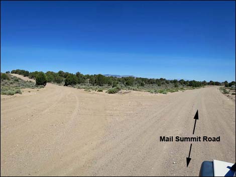 Mail Summit Road at Silver Canyon Road (view N) |
 Silver Canyon Road (view W from Mail Summit Road) |
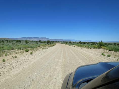 Mail Summit Road descending towards Coal Valley (view NW) |
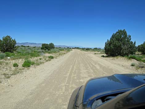 Mail Summit Road approaching Jackrabbit Road (view NW) |
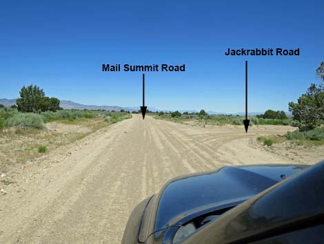 Mail Summit Road at Jackrabbit Road (view NW) |
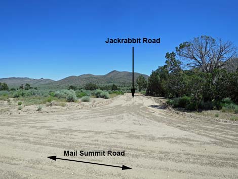 Jackrabbit Road (view NE from Mail Summit Road) |
 Mail Summit Road descending into Coal Valley (view NNW) |
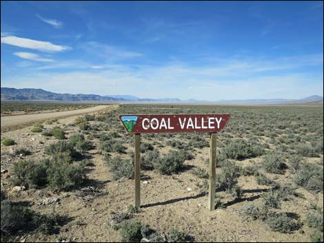 Coal Valley sign during summer (view NNW; sign is missing) |
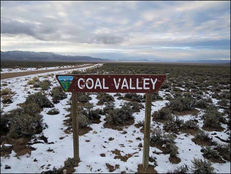 Coal Valley sign during winter (view NNW; sign is missing) |
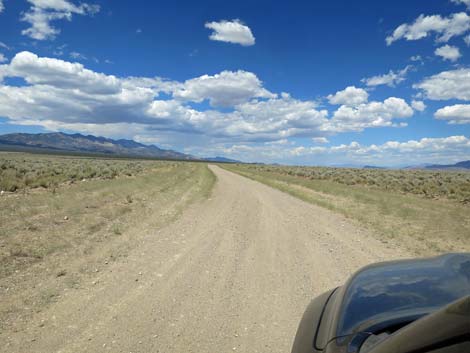
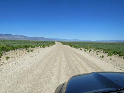 Mail Summit Road in Coal Valley (view NNW) |
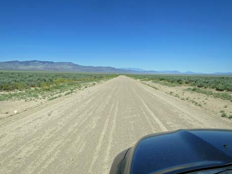 Mail Summit Road in Coal Valley (view NNW) |
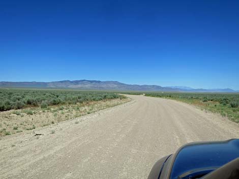 Mail Summit Road approaching Coal Valley West Road (view NNW) |
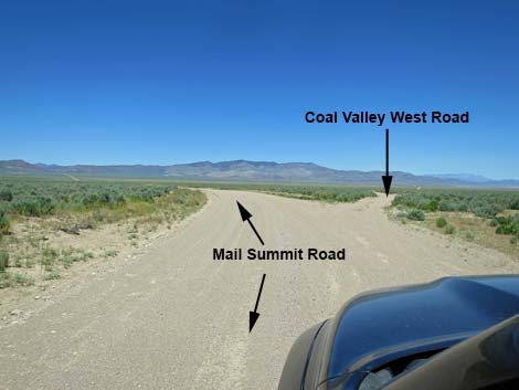 Mail Summit Road at Coal Valley West Road (view NW) |
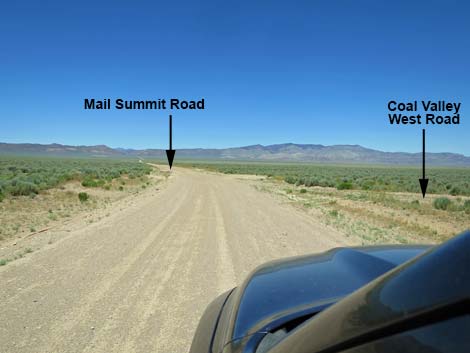 Mail Summit Road passing Coal Valley West Road (view NW) |
 |
 |
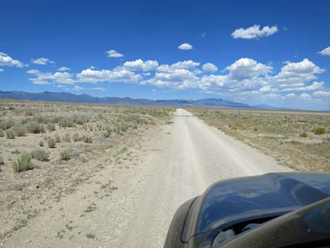
 Mail Summit Road crossing southern Coal Valley (view NW) |
 Mail Summit Road approaching a cattle guard (view NW) |
 Mail Summit Road at a cattle guard (view NW) |
 Side road just past the cattle guard (view SW from Mail Summit Rd) |
 |
 |
 Mail Summit Road crossing southern Coal Valley (view NW) |
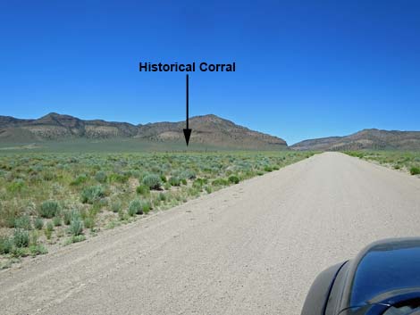 Mail Summit Road approaching an historical corral (view NW) |
 Mail Summit Road at an historical wooden corral (view SW) |
 Mail Summit Road approaching Murphy Gap (view NW) |
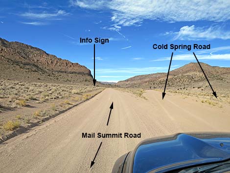 Mail Summit Road at Cold Spring Road (view NW) |
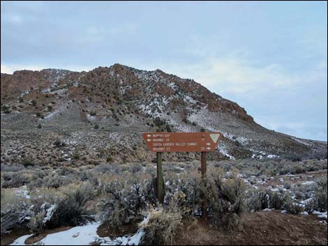
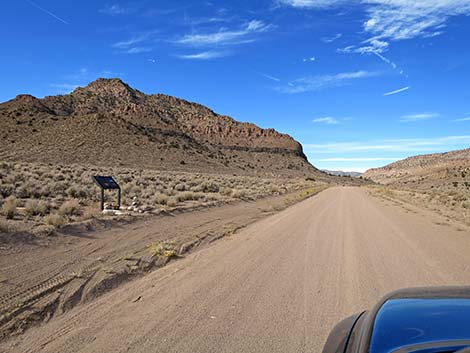 Mail Summit Rd approaching Murphy Gap information sign (view NW) |
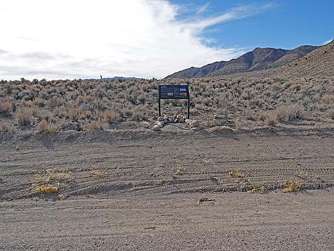 Murphy Gap information sign (view S from roadway) |
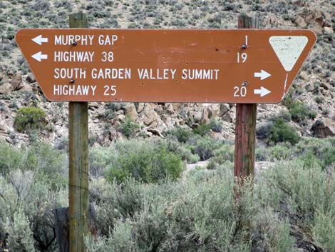
 Murphy Gap information sign (view S) |
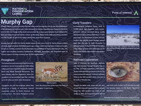 Murphy Gap information sign |
 Mail Summit Road passing Cold Spring Road (view NW) |
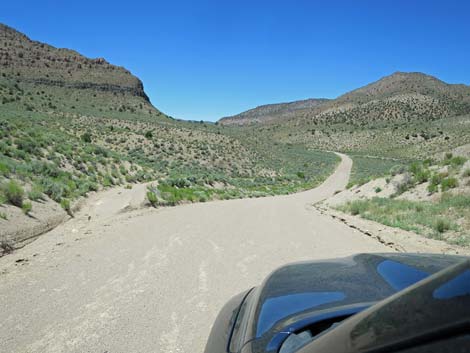 Mail Summit Road descending into Murphy Gap Wash (view NW) |
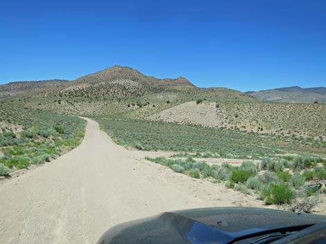 Mail Summit Road approaching Murphy Well Road (view NW) |
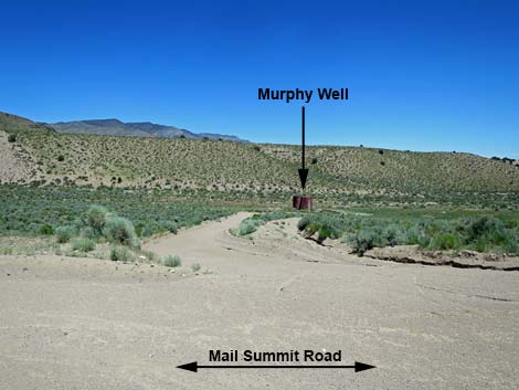 Murphy Well Road (view N from Mail Summit Road) |
 Mail Summit Road climbing through Murphy Gap (view NW) |
 Mail Summit Road climbing through Murphy Gap (view NW) |
 Grand scenery in Murphy Gap (view N) |
 Grand Scenery in Murphy Gap (view N) |
 Mail Summit Road climbing out of Murphy Gap (view N) |
 Mail Summit Road passing out of Murphy Gap (view N) |
 Road sign without an intersection? (view S; sign is missing) |
 Road sign without an intersection (it is farther west; sign is missing) |
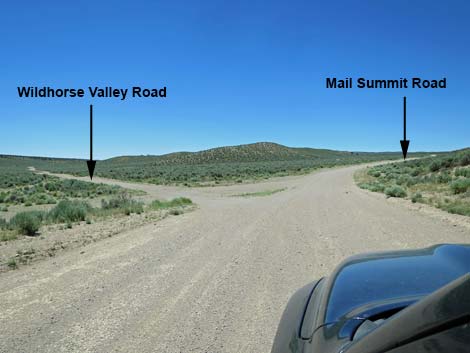 Mail Summit Road approaching Wildhorse Valley Road (view NW) |
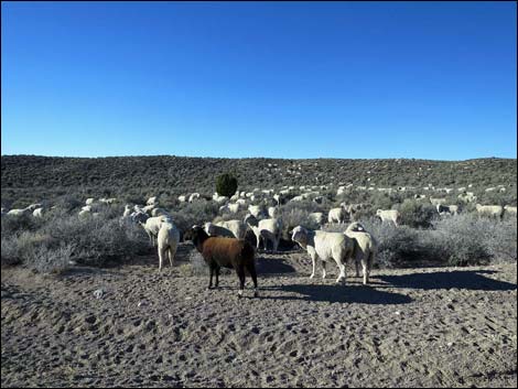 Watch for sheep in the road |
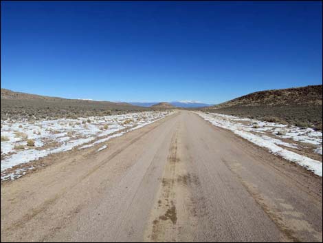 Mail Summit Road descending towards Garden Valley (view N) |
 |
 |
 |
 |
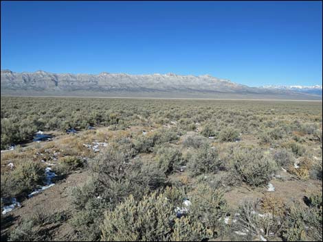
 Grand scenery in southern-most Garden Valley (view W) |
 First views into Garden Valley sign (view NW) |
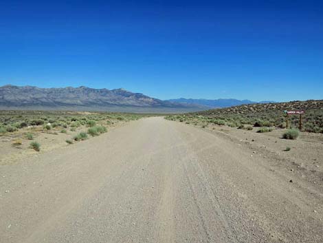 Approaching Garden Valley sign (view NW) |
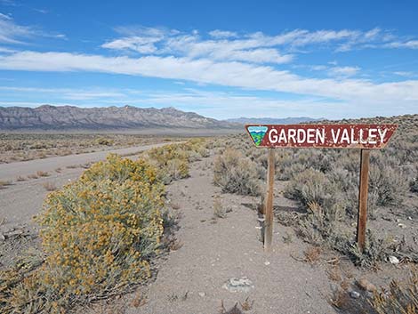 Garden Valley sign (view NW) |
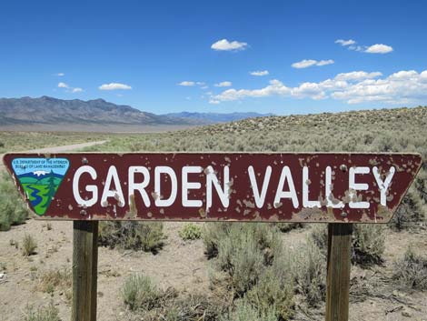 Garden Valley sign (view NW) |
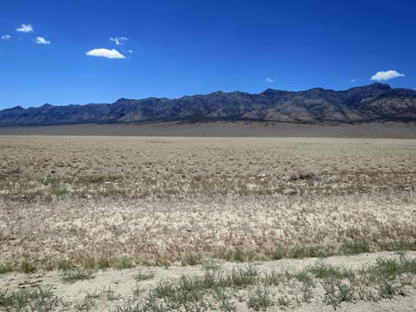
 Worthington Range and Meeker Peak (view W) |
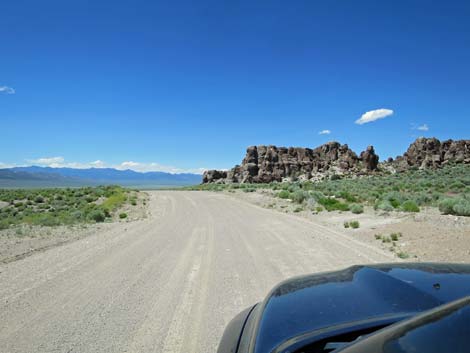 Mail Summit Road approaching Garden Valley Crags (view N) |
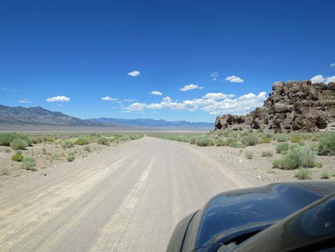 Mail Summit Road approaching Garden Valley Crags (view N) |
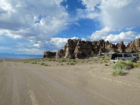 Mail Summit Road at Garden Valley Crags parking (view N) |
 Grand view out across Garden Valley (view NW) |
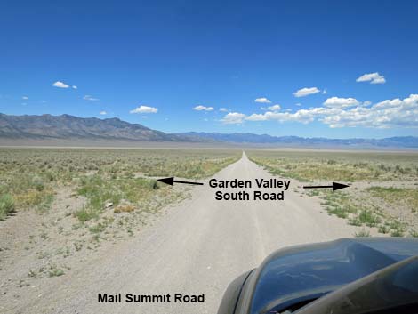 Intersection with Garden Valley South Road (view NW) |
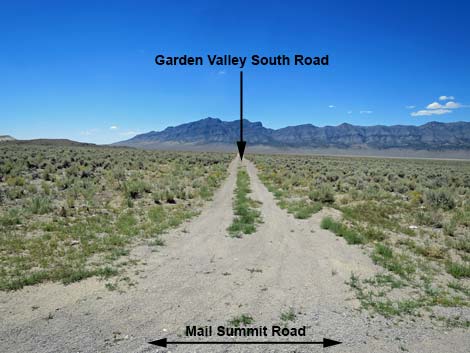 Garden Valley South Road (view SW from Mail Summit Road) |
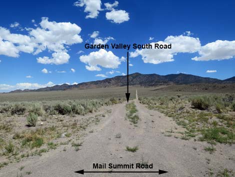 Garden Valley South Road (view NE from Mail Summit Road) |
 Good view across Garden Valley (view NW) Good view across Garden Valley (view NW) |
 Worthington Range (view W from Mail Summit Road) |
Meeker Peak, highest point in Worthington Range (view W) |
 North end, Worthington Range (view NW from Mail Summit Road) |
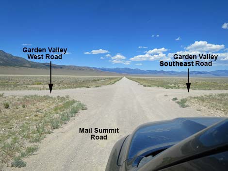 Mail Summit at Garden Valley West and Southeast roads (view NW) |
 Garden Valley West (view SW from Mail Summit Road) |
 Garden Valley Southeast (view NE from Mail Summit Road) |
 Mail Summit Road approaching bottom of Garden Valley (view NW) |
 Mail Summit Road crossing the bottom of Garden Valley (view NW) |
 The bottom of Garden Valley; lots of Winterfat (view W) |
 Mail Summit Road exiting the bottom of Garden Valley (view NW) |
 Mail Summit Road beyond the bottom of Garden Valley (view N) |
 Mail Summit Road approaching a cattle guard (view N) |
 Mail Summit Road at a cattle guard (view N) Mail Summit Road at a cattle guard (view N) |
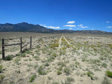 Most fences have a parallel two-track road (view W) |
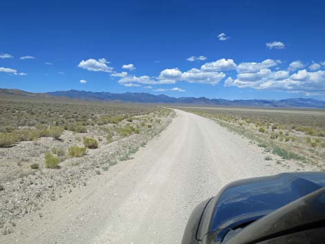 Mail Summit Road (view NW) |
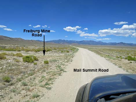 Mail Summit Road approaching Freiburg Mine Road (view NW) |
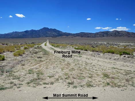 Freiburg Mine Road (view SW from Mail Summit Road) |
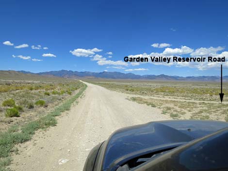 Mail Summit Road at Garden Valley Reservoir Road (view NW) |
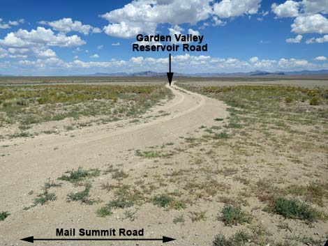 Garden Valley Reservoir Road (view NE from Mail Summit Road) |
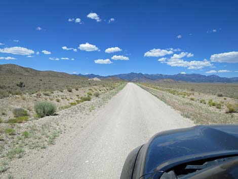 Mail Summit Road (view NW) |
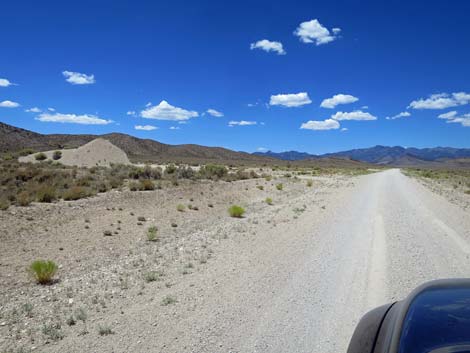 Mail Summit Road approaching a gravel pit (view NW) |
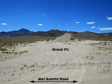 Gravel Pit campsite (view SW from Mail Summit Road) |
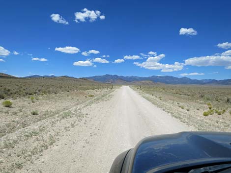 Mail Summit Road (view NW) |
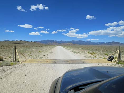 Mail Summit Road at another cattle guard (view NW) |
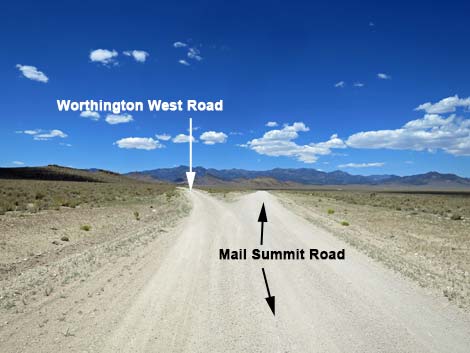 Mail Summit Road approaching Worthington West Road (view NW) |
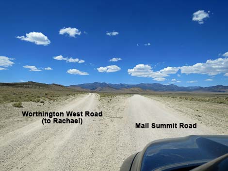 Worthington West Road (view NW from Mail Summit Road) |
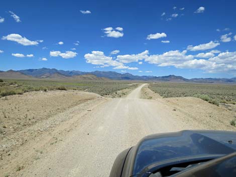 Mail Summit Road dips over the edge of a hill (view NW) |
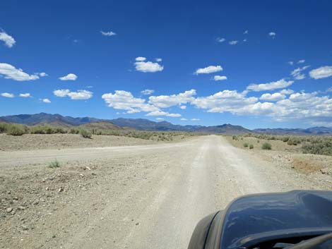 Worthington West Road merging into Mail Summit Road (view NW) |
 Looking back at Worthington West Rd (view SW from Mail Summit Rd) |
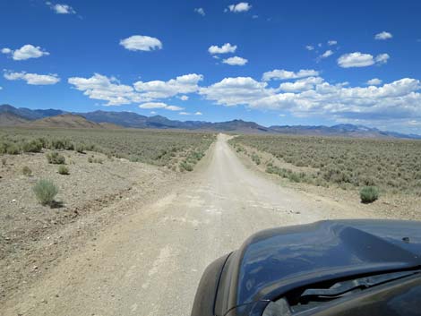 Mail Summit Road dips over the edge of another hill (view NW) |
 Mail Summit Road approaching Pine Creek Road (view NW) |
 Pine Creek Road (view N from Mail Summit Road) |
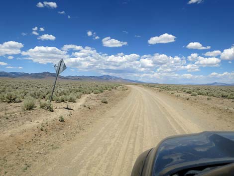 Mail Summit Road passing backside of "curve ahead" sign (view NE) |
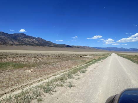
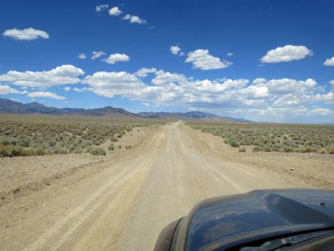 Mail Summit Road runs across rolling terrain (view N) |
 Mail Summit Road (view NE) |
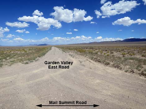
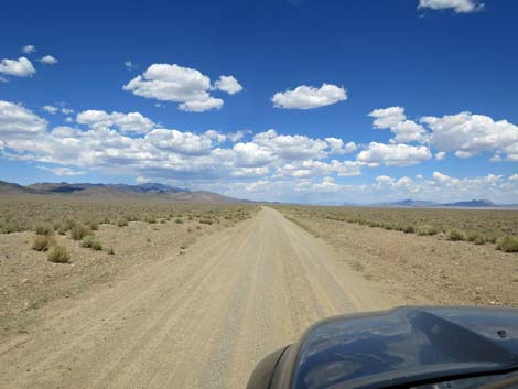
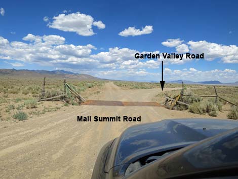
 Mail Summit Rd approaching Garden Valley Rd, westbound (view NE) |
 Mail Summit Rd at Garden Valley Road, westbound (view N) |
 Garden Valley Road, westbound (view NW from Mail Summit Road) |
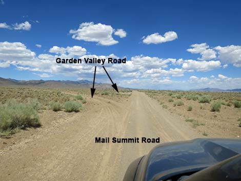
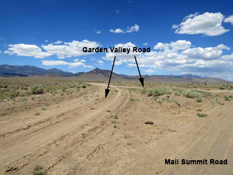
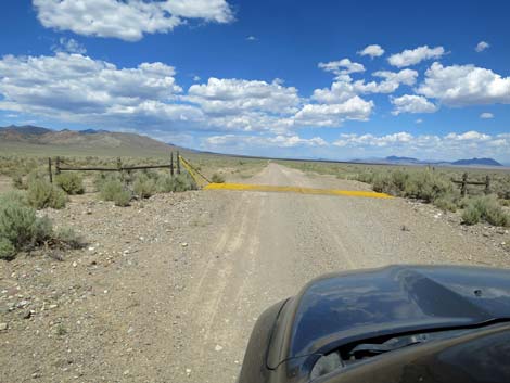
 Cattle guard and intersection with Garden Valley Road, eastbound |
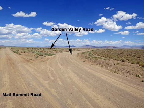 Garden Valley Road, eastbound (view NE from Mail Summit Road) |
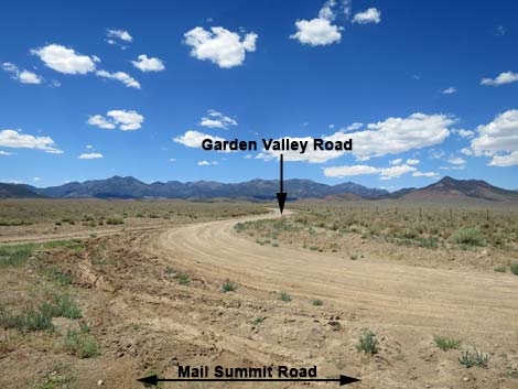
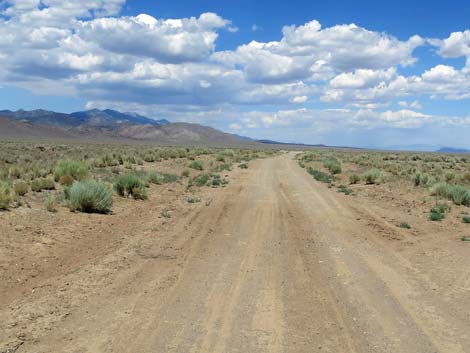 Continuing on Mail Summit Road (view NE) |
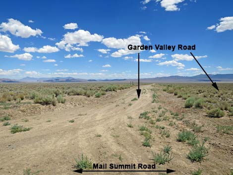 Garden Valley Road, eastbound (view SE from Mail Summit Road) |
 Mail Summit Road (view NE) |
 Mail Summit Road runs across rolling terrain (view N) |
 Mail Summit Road at side road merging from the left (view N) |
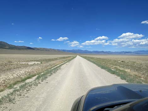
 Mail Summit Road (view NE) |
 Mail Summit Road at another cattle guard (view NE) |
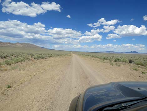 Mail Summit Road (view NE) |
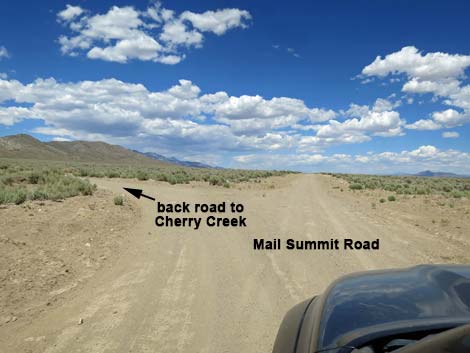 Mail Summit Road at back road to Cherry Creek (view N) |
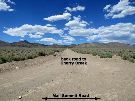 Back road to Cherry Creek (view NW from Mail Summit Road) |
 Road marker on back road to Cherry Creek (view NW) |
 Sign, now missing, on back road to Cherry Creek (view W) |
 Mail Summit Road (view NE) |
 Mail Summit Road (view NE) |
 Mail Summit Road (view NE) |
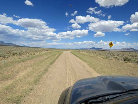 Mail Summit Road approaching unexpected curve (view NE) |
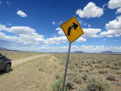 Caution sign: unexpected, sharp right curve ahead (view NE) |
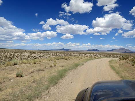 Mail Summit Road at sharp right curve (view NE) |
 Mail Summit Road dipping steeply into a gully (view E) |
 Mail Summit Road runs down into a gully (view E) |
 Mail Summit Road runs through a gully (view E) |
 Mail Summit Road runs down the wash (view SE) |
 Mail Summit Road crosses a wash; watch for washouts (view SE) |
 Across the wash, the road climbs back out of the ditch (view SE) |
 Atop the steep hill, the road curves sharply left (view NE) |
 After a sharp curve left, the road runs straight (view N) |
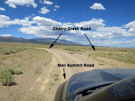 Approaching Cherry Creek Road (view N) |
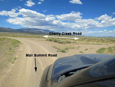 Mail Summit Road at Cherry Creek Road (view N) |
Table 1. Highway Coordinates and Distances based on GPS Data (NAD27). Download highway GPS waypoints (gpx) file.
| Wpt. | Location | Latitude (N) | Longitude (W) | Elevation (ft) | Point-to-Point Distance (mi) | Cumulative Distance (mi) | Verified |
|---|---|---|---|---|---|---|---|
| 0886 | Hwy 318 at Mail Summit Rd | 37.65247 | 115.20742 | 4,125 | 0.00 | 00.0 | Yes |
| 1115 | Mail Summit Rd Splits | 37.69277 | 115.28748 | 5,347 | 5.71 | 05.7 | Yes |
| 1116 | Mail Summit Rd Rejoins | 37.70255 | 115.28603 | 5,649 | 0.69 | 06.4 | Yes |
| 0888 | Mail Summit Rd at Coal Valley West Rd | 37.76390 | 115.31380 | 5,208 | 4.80 | 11.2 | Yes |
| 1571 | Mail Summit Rd at Cattle Guard | 37.77707 | 115.36252 | 5,332 | 2.80 | 14.0 | Yes |
| 1570 | Mail Summit Rd at Coal Valley W Rd | 37.79089 | 115.42029 | 5,733 | 3.30 | 17.3 | Yes |
| 0889 | Mail Summit Rd at Wild Horse Rd | 37.78768 | 115.44329 | 5,820 | 1.40 | 18.7 | Yes |
| 1552 | Mail Summit Rd at Garden Valley South Rd | 37.85384 | 115.50111 | 5,946 | 6.80 | 25.5 | Yes |
| 0890 | Mail Summit Rd at Garden Valley Rd | 37.90409 | 115.53761 | 5,509 | 4.00 | 29.5 | Yes |
| 1569 | Mail Summit Rd at side road | 37.96254 | 115.56138 | 5,466 | 4.30 | 33.8 | Yes |
| 1568 | Mail summit Rd at Worthington N Rd-S | 37.97911 | 115.58358 | 5,575 | 1.70 | 35.5 | Yes |
| 1567 | Mail Summit Rd at Worthington N Rd-N | 37.98631 | 115.58842 | 5,596 | 0.50 | 36.0 | Yes |
| 1566 | Mail Summit Rd at Garden Valley Rd | 38.03036 | 115.58113 | 5,657 | 3.20 | 39.2 | Yes |
| 1594 | Mail Summit Rd at Cherry Creek Rd | 38.11024 | 115.50888 | 5,596 | 7.20 | 46.4 | Yes |
Happy Hiking! All distances, elevations, and other facts are approximate.
![]() ; Last updated 240324
; Last updated 240324
| Basin and Range | Backroads | Hiking Around Las Vegas | Glossary | Copyright, Conditions, Disclaimer | Home |