Hiking Around Las Vegas, Basin and Range National Monument
 |
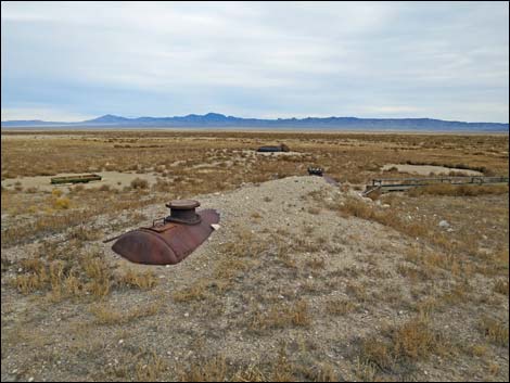
Overview There is one developed campground in Basin and Range National Monument (Mt. Irish Campground). Otherwise, there are no facilities of any kind, but primitive camping is legal everywhere along existing roads and trails, and there are a number of traditional campsites scattered throughout the area. The Coal Valley Water Tanks Campsite, out in the far southwest edge of Coal Valley, is a broad area with space for numerous trailers or RVs. This is a good site for campers who like big, open spaces with grand scenery and big starry nights. This site is off a well-maintained side road, so this out-of-the-way site is a good basecamp for exploring the National Monument. Pack it in - Pack it out. Link to map. |
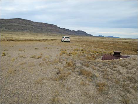
 An old water tank (view NE) |
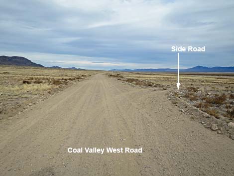
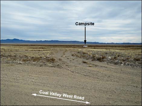
Getting to Camp The Coal Valley Water Tanks Campsite is located in the south-central portion of Basin and Range National Monument, about 3 hours northeast of Las Vegas. From Las Vegas, drive north on Interstate-15 for 21 miles to Highway 93. Drive north on Highway 93 past the towns of Alamo and Ash Springs to Highway 318. Turn left onto Highway 318 and drive north for 9.4 miles to Mail Summit Road on the left. Turn left onto Mail Summit Road and drive northwest 11.3 miles. At this point, Mail Summit Road bends 45-degrees to the left, but Coal Valley West Road continues straight towards the bottom of Coal Valley. Continuing straight, drive northwest 4.2 miles to a T-intersection. Continue straight on Coal Valley West Road for another 3.7 miles to a minor side road right. Turn right to the campsite by the old water tanks about 100 yards east of the road. |
 Coal Valley West Road at Coal Valley Water Tanks access road (view N) |
 Coal Valley Water Tanks road (view E from Coal Valley West Rd) |
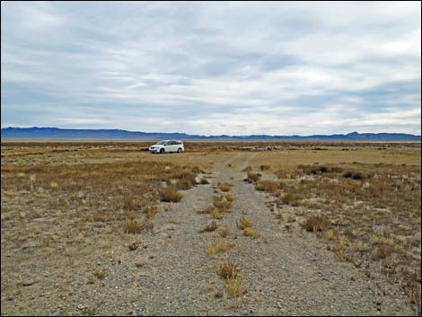 Coal Valley Water Tanks Campsite access road (view E) |
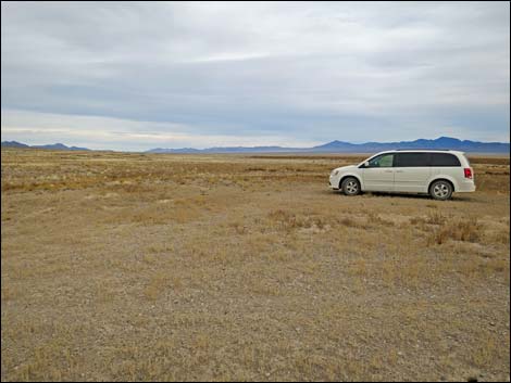 Coal Valley Water Tanks Campsite (view N) |
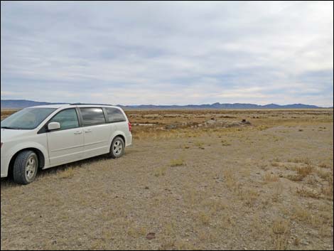 Coal Valley Water Tanks Campsite (view SE) |
 More to come ... |
Table 1. Hiking Coordinates based on GPS data (NAD27; UTM Zone 11S). Download Hiking GPS Waypoints (*.gpx) file.
| Site | Location | UTM Easting | UTM Northing | Latitude (N) | Longitude (W) | Elevation (ft) |
|---|---|---|---|---|---|---|
| Water Tanks | Coal Valley So. Water Tanks Campsite | 643300 | 4192064 | 37.86664 | 115.37087 | 4,980 |
Happy Hiking! All distances, elevations, and other facts are approximate.
![]() ; Last updated 240323
; Last updated 240323
| Basin and Range Campsites | Hiking Around Las Vegas | Glossary | Copyright, Conditions, Disclaimer | Home |