Hiking Around Las Vegas, Basin and Range National Monument
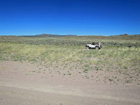
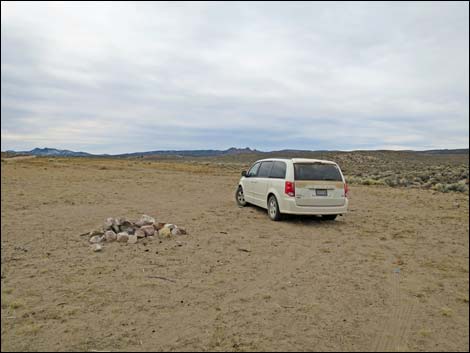
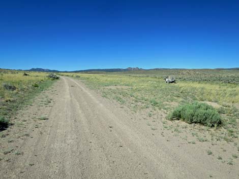 Approaching Wild Horse Valley Shepherd's Camp (view S) |
Overview There is one developed campground in Basin and Range National Monument (Mt. Irish Campground). Otherwise, there are no facilities of any kind, but primitive camping is legal everywhere along existing roads and trails, and there are a number of traditional campsites scattered throughout the area. The Wild Horse Valley Shepherd Camp is a traditional campsite that has space for a dozen trailers and RVs. The landscape is wide open but with mountains all around, and this would make a good base camp for a large group intending to spend several days hunting, hiking, or just exploring the national monument. Pack it in - Pack it out. Link to map. |
 Wild Horse Valley Shepherd's Camp (view NW) |
Getting to Camp The Wild Horse Valley Campsite is located on the southwest side of Basin and Range National Monument, about 2-1/2 hours (135 miles) northeast of Las Vegas. From Las Vegas, drive north on Interstate-15 for 21 miles to Highway 93. Drive north on Highway 93 past the towns of Alamo and Ash Springs to Highway 318. Turn left onto Highway 318 and drive north for 9.4 miles to Mail Summit Road on the left. Turn left onto Mail Summit Road and drive northwest 18.7 miles. The road climbs over the mountains, drops into the south end of Coal Valley, heads west through Murphy Gap in the Golden Gate Range, and finally arrives at a major side road left, which is Wild Horse Road. Turn left onto Wild Horse Road (southbound) and drive south 0.6 miles along the west edge of the Golden Gate Range. The road passes a side road right, then shortly arrives at the campsite, on the right. |
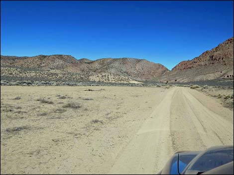 Approaching Wild Horse Valley Shepherd's Camp (view N) |
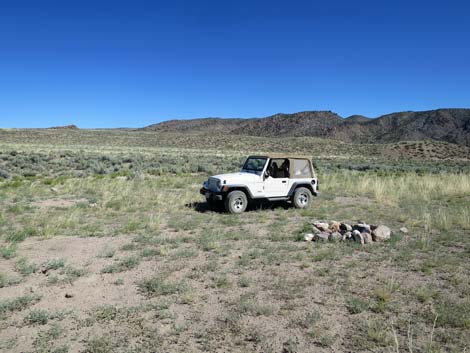
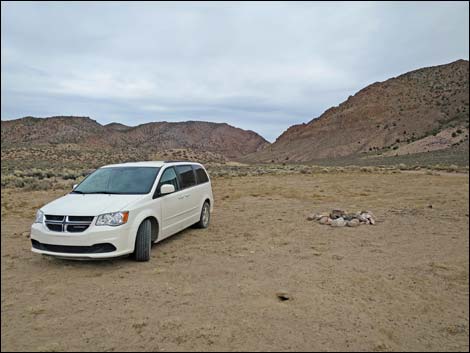
 Wild Horse Valley Shepherd's Camp (view S) |
 Wild Horse Valley Shepherd's Camp (view W) |
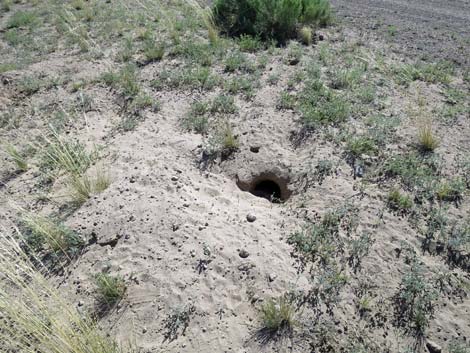 Someone else lives here too! |
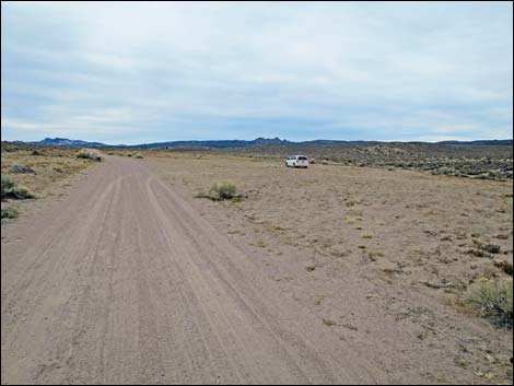 Approaching Wild Horse Valley Shepherd's Camp (view S) |
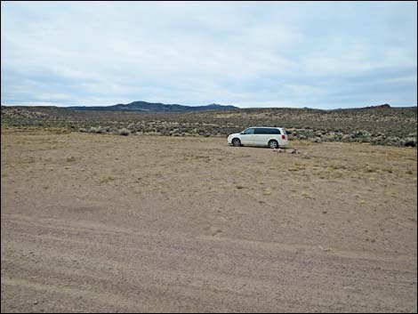 Wild Horse Valley Shepherd's Camp (view SW) |
 Wild Horse Valley Shepherd's Camp (view SW) |
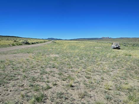
 Wild Horse Valley Shepherd's Camp (view N) |
Table 1. Hiking Coordinates based on GPS data (NAD27; UTM Zone 11S). Download Hiking GPS Waypoints (*.gpx) file.
| Site | Location | UTM Easting | UTM Northing | Latitude (N) | Longitude (W) | Elevation (ft) |
|---|---|---|---|---|---|---|
| Wild Horse | Wild Horse Valley Shepherd's Camp | 636915 | 4182275 | 37.77942 | 115.44529 | 5,883 |
Happy Hiking! All distances, elevations, and other facts are approximate.
![]() ; Last updated 240323
; Last updated 240323
| Basin and Range Campsites | Hiking Around Las Vegas | Glossary | Copyright, Conditions, Disclaimer | Home |