Backroads Around Las Vegas, Basin and Range
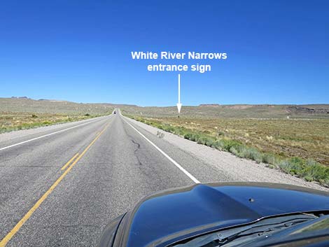 Highway 318 approaching White River Narrows Road (view NE) |
Overview Old White River Narrows Road is a lightly maintained dirt road that normally is suitable for 2WD-HC vehicles, but it can be washed out and muddy. The road starts along Highway 318 north of Hiko and runs northeast into the lower end of the White River Narrows and the White River Narrows Archeological District where it dead-ends. Shortly after leaving the pavement, Old White River Narrows Road forks. The main petroglyph sites are to the left, but the well-maintained road to the right leads through the surprisingly spectacular Valley of Faces and eastward to connect with ranch roads that can be followed north and back to Highway 318. This road can be sandy, so use caution in 2WD vehicles. |
 Highway 318 at White River Narrows Road (view NE) |
Watch Out Other than the standard warnings about driving in the desert, ...this road is pretty safe, but be sure that your vehicle is in good working condition, carry plenty of water (radiator and drinking), and pack a lunch. Always drive carefully; even though the road is maintained, there are occasional hazards such as errant rocks and holes in the roadway. The far end of the road can be a bit sandy, but it seems firm - use good judgment. While out, please respect the land and the other people out there, and try to Leave No Trace of your passage. This road goes into remote areas, so be sure to bring the 10 Essentials. Cell phones don't work. |
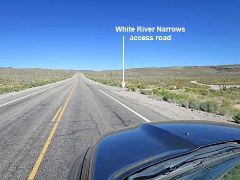
 White River Narrows Road (view E from Highway 318) |
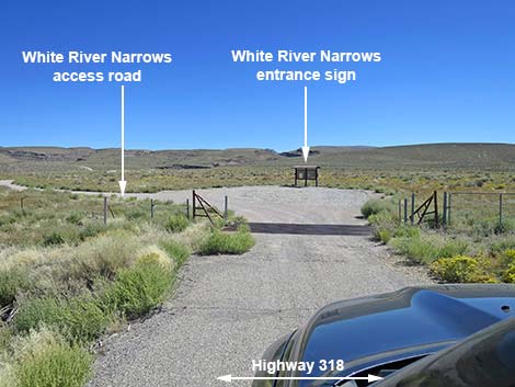
Getting to the Road Old White River Narrows Road is located in the southeast part of Basin and Range National Monument, about 2 hours (131 miles) northeast of Las Vegas driving directly, or about 25 minutes (23.8 miles) north of the intersection of Highway 93 and Highway 318. From Las Vegas, drive north on Interstate-15 for 21 miles to Highway 93. Turn left onto Great Basin Highway (Hwy 93) and top off the gas tank if necessary. Drive north past the towns of Alamo (95 miles from Las Vegas) and Ash Springs (102 miles) to the intersection of Highways 93 and 318 (107 miles). Gasoline is available in Alamo, Ash Springs, Rachael, and Lund. Turn left onto Highway 318 and drive west then north on Highway 318 for 23.8 miles to Old White River Narrows Road on the right. The intersection is marked only by a paved apron and a cattle guard, and past the fence, an information kiosk sign. |
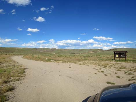
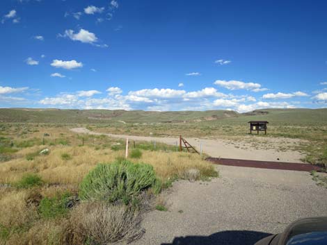 Road passes cattle guard and information kiosk (view E) |
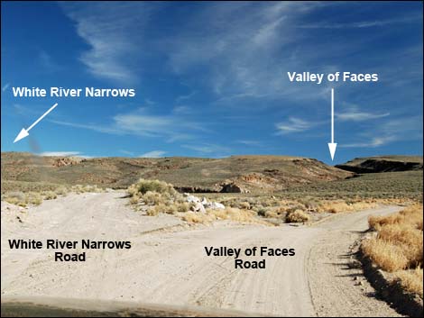
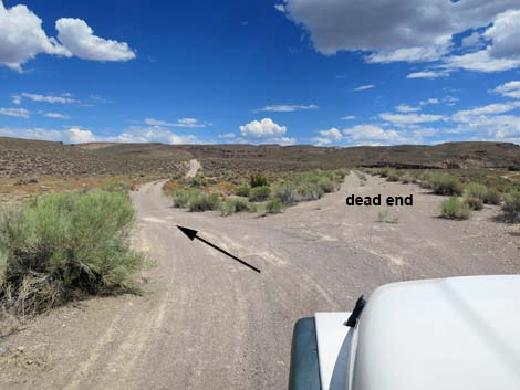
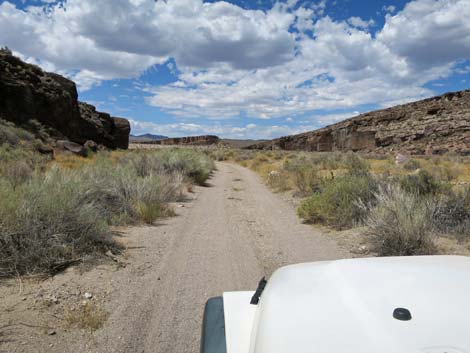
The Road From the pavement (Table 1, Site 1105), Old White River Narrows Road crosses a cattle guard and bends to the left to pass the information kiosk sign. Stop and read the sign for background about the site and a map. Past the kiosk, the road bends back to the right. At about 0.15 miles out, the road forks (Site 1106). Here, White River Narrows Road stays left onto the minor road while Valley of Faces Road, the better road, stays right. Old White River Narrows Road runs up onto a berm, then turns off to the left at a fork (Site 1107) in another 0.1 miles. The road runs northeast to climb over a low ridge where the road can be a bit rocky. In a 2WD vehicle, be sure nobody has kicked up any big rocks. Past the low ridge, the road continues northeast into the canyon. At about 0.6 miles out, a faint road (Site 1108) branches to the right. This road is a bit washed out, but it returns to Valley of Faces Road. |
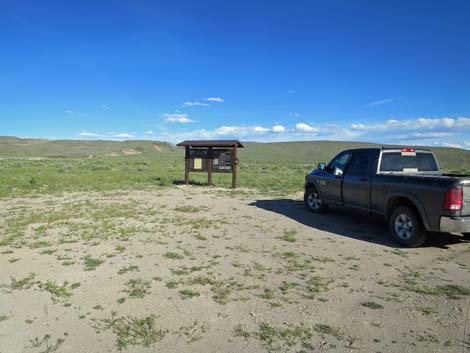 Information Kiosk (view SE from WR Narrows Road) |
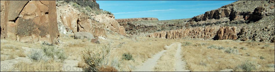
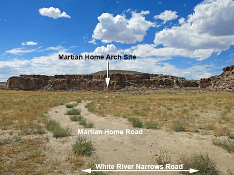
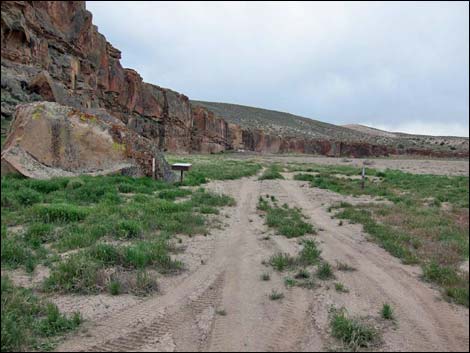
In the canyon, at about 0.96 miles out, the road encounters the first archeological site. A trail right (sometimes a 2-track road) leads to a petroglyph site (Calendar Fence Site) on a big boulder against the canyon wall. Continuing, the road bends left to run north through the canyon. The rock walls on the left are marked with historic names and a few petroglyphs. At about 1.5 miles out, the road bends to the right to follow the canyon, but to the left, a trail (sometimes a 2-track road) leads to the second petroglyph site (Martian Home Site) on the far canyon wall. The canyon bends to the right (1.5 miles out), then back to the left (1.9 miles out), and shortly opens to reveal Highway 318 ahead on a berm (no, you can't get there from here). White River Narrows Road ends (Site 1111) at 2.16 miles out at a "No Vehicles" sign adjacent to a sign-in register. Park here; this is the trailhead for the Amphitheater Site, which is just ahead on the shady left wall. |
 Information Kiosk (view SE) |
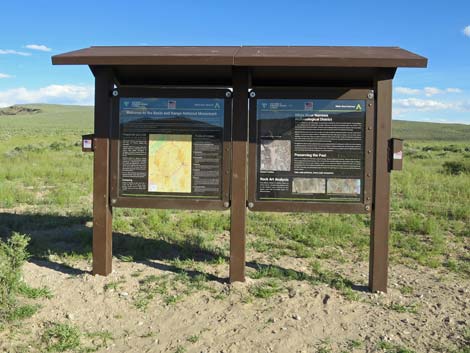
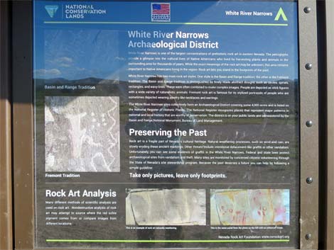 Information about Native American lives and use of the area |
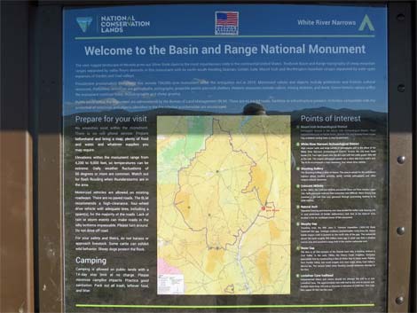 Map and area overview information |
 Road continues past the kiosk (view E) |
 White River Narrows Road (view E) |
 White River Narrows Road stays left at fork (view E) |
 White River Narrows Road stays left (view NE) |
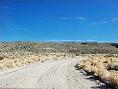
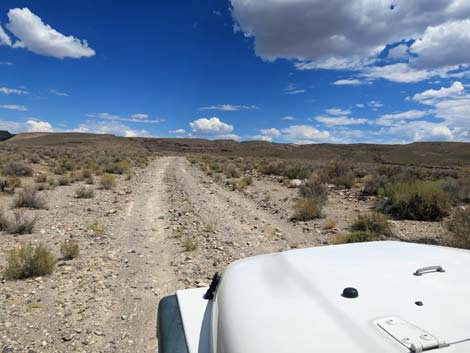
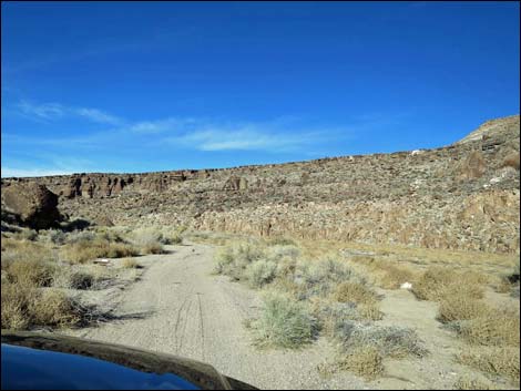
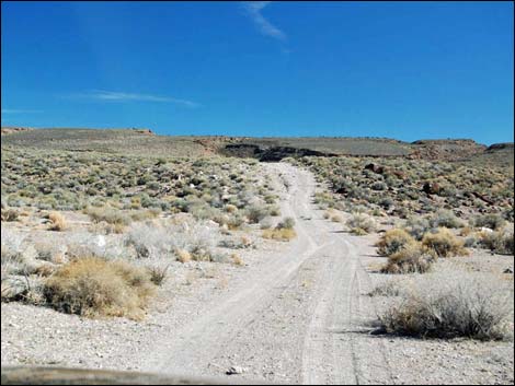 White River Narrows Road stays left to climb over ridge (view NE) |
 White River Narrows Road climbs over ridge (view NE) |
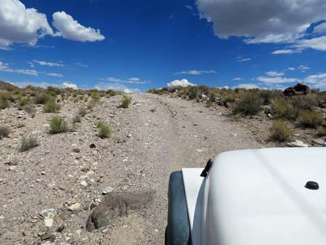 There are a few rocks where the road climbs over ridge (view NE) |
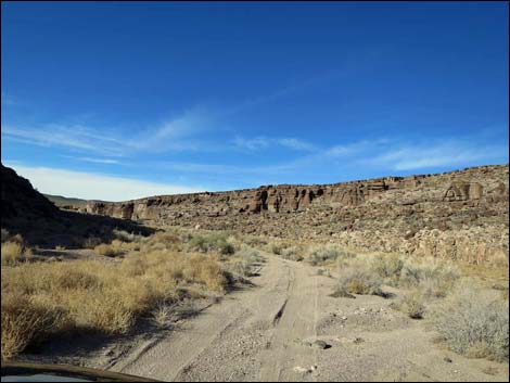
 Cresting the ridge (view NE) |
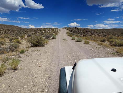
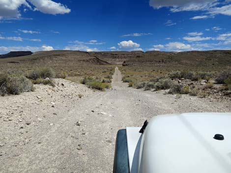 Descending past the ridge (view NE) |
 Road crosses desert flats (view NE) |
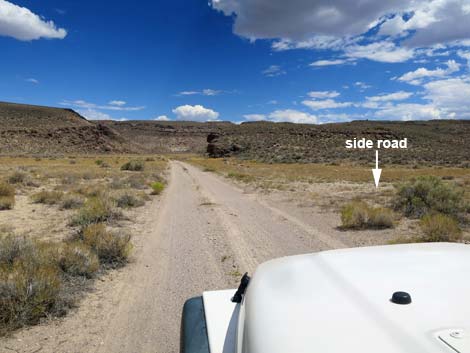 White River Narrows Road at Ash Hill Arch Site Road (view NE) |
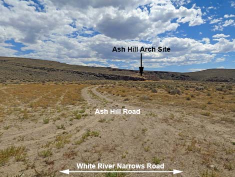 Ash Hill Arch Site Road (view S from White River Narrows Road) |
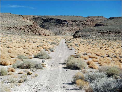
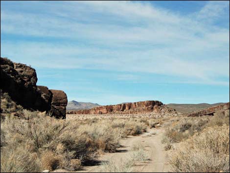
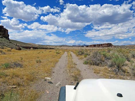
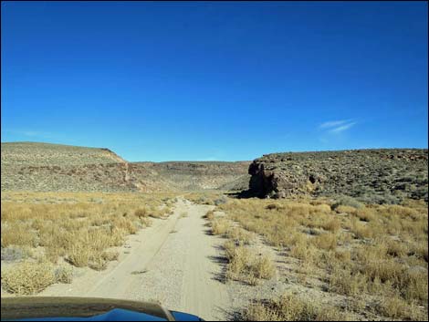 Road approaches mouth of narrows (view NE) |
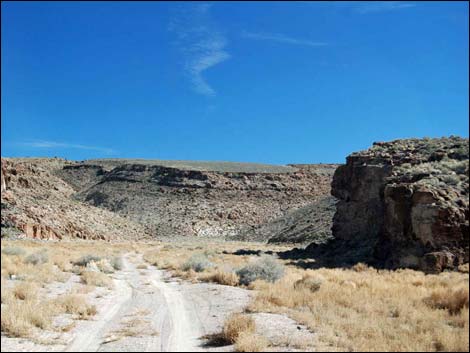 Road enters mouth of narrows (view NE) |
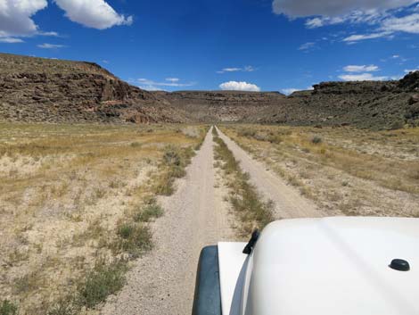 Straight, smooth road (view NE) |
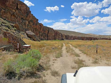
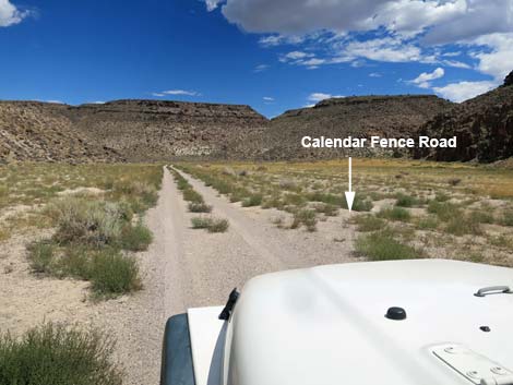 Approaching start of Calendar Fence loop road (view NE) |
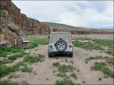
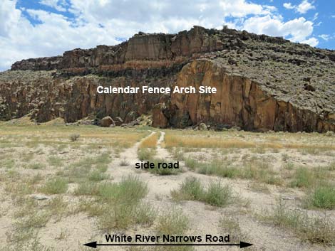 Calendar Fence loop road (view S from White River Narrows Rd) |
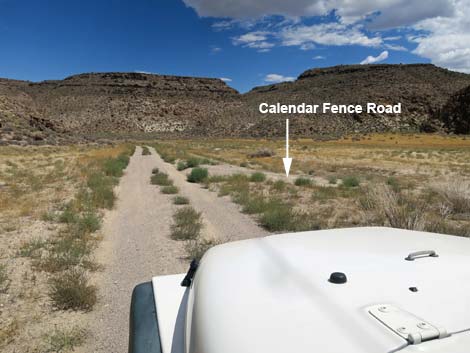 Approaching end of Calendar Fence loop road (view NE) |
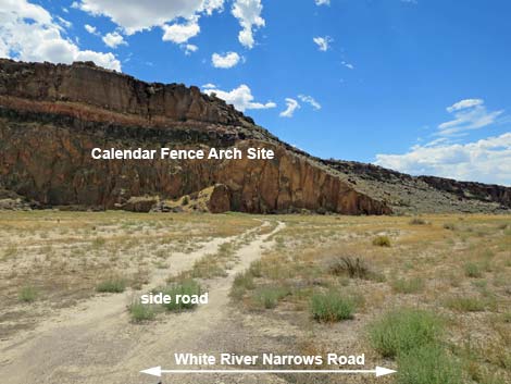 Calendar Fence loop road (view SW from White River Narrows Rd) |
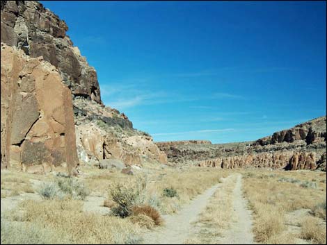 Winding through narrows, road bends north (view N) |
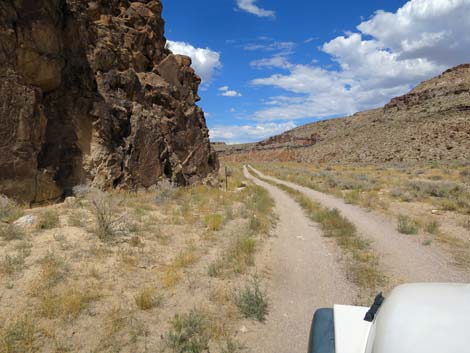 Turning a corner (view N) |
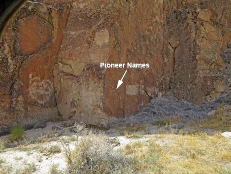 Pioneer names on the rock wall (don't add graffiti!) |
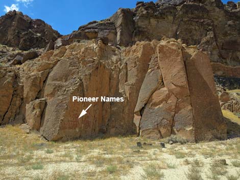 Pioneer names on the rock wall (don't add graffiti!) |
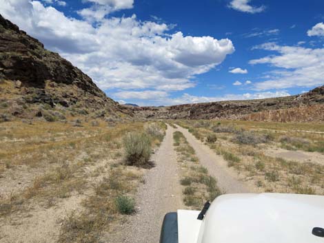 More straight, smooth road (view NE) |
 Running through narrows (view N) |
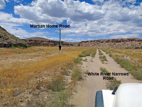 Approaching start of Martian Home loop road (view N) |
 Martian Home Road (view NW from White River Narrows Road) |
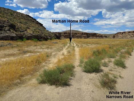
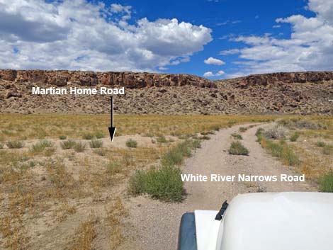 Approaching end of Martian Home loop road (view N) |
 Martian Home Road (view W from White River Narrows Road) |
 |
 |
 |
 |
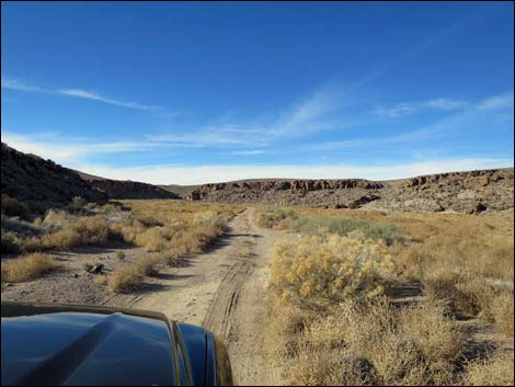
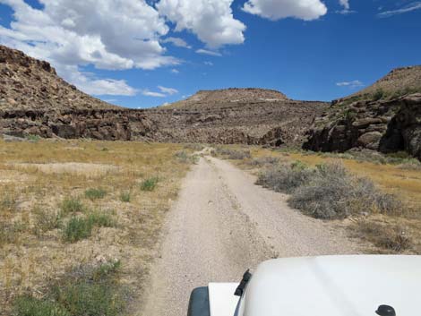
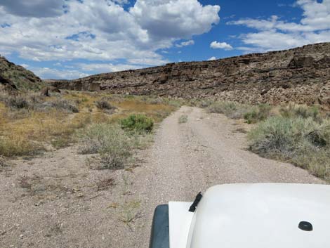
 Running through narrows (view N) |
 Running through narrows (view N) |
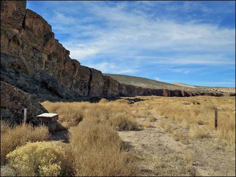
 Approaching the end of White River Narrows Road (view NW) |
 Approaching trailhead parking (view NW) |
 Sign-in register and trailhead Parking (view NW) |
 Trailhead Parking (view NW) |
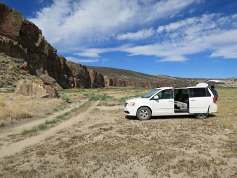 Trailhead Parking (view NW) |
 Trailhead (view NW towards Amphitheater Site) |
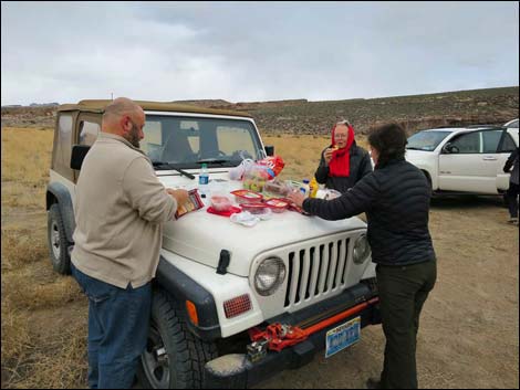 Trailhead lunch (view NE) |
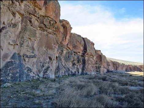 Amphitheater Site, ahead on the shady wall (view W) |
Table 1. Highway Coordinates and Distances based on GPS Data (NAD27). Download highway GPS waypoints (gpx) file.
| Wpt. | Location | Latitude (N) | Longitude (W) | Elevation (ft) | Point-to-Point Distance (mi) | Cumulative Distance (mi) | Verified |
|---|---|---|---|---|---|---|---|
| 1105 | Hwy 93 at Wt River Narrows Rd | 37.81998 | 115.05729 | 4,471 | 0.00 | 0.00 | Yes |
| 1106 | White River Narrows Rd Fork 1 | 37.81990 | 115.05482 | 4,440 | 0.15 | 0.15 | Yes |
| 1107 | White River Narrows Rd Fork 2 | 37.81971 | 115.05328 | 4,440 | 0.08 | 0.23 | Yes |
| 1108 | White River Narrows Rd Fork 3 | 37.82091 | 115.04633 | 4,509 | 0.40 | 0.63 | Yes |
| 1111 | White River Narrows Rd End | 37.83436 | 115.03857 | 4,561 | 1.54 | 2.17 | Yes |
Happy Hiking! All distances, elevations, and other facts are approximate.
![]() ; Last updated 240324
; Last updated 240324
| Basin and Range | Backroads | Hiking Around Las Vegas | Glossary | Copyright, Conditions, Disclaimer | Home |