Backroads Around Las Vegas, Death Valley National Park
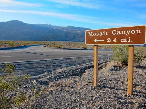 Mosaic Canyon Road turnoff sign along Highway 190 (view SW) |
Overview Mosaic Canyon Road is a graded dirt road that runs south from Highway 190 for 2-1/4 miles to Mosaic Canyon Trailhead. There are no turnoffs and only one destination: Mosaic Canyon Trailhead. People can stop, for example to photograph the flowers during spring, but be sure to pick a safe spot and pull to the right as far as possible. Two vehicles can safely pass on the road, but it is tight. At about 0.7 miles out, Mosaic Canyon Road enters a corridor of non-wilderness that penetrates the Death Valley Wilderness Area. From there on, lands on both sides of the road are in the Death Valley Wilderness Area, so this is as close as it gets to driving in a designated wilderness area. Mosaic Canyon Road provides access to the Mosaic Canyon Trail. Link to map. |
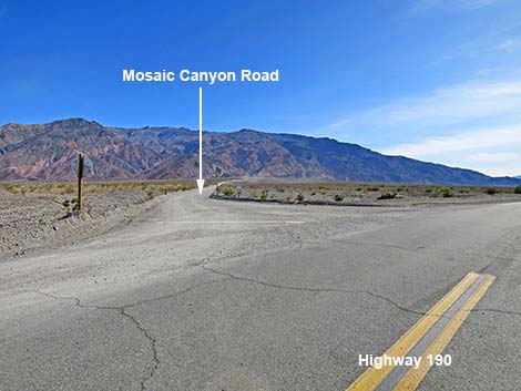 Mosaic Canyon Road (view SW from Highway 190) |
Watch Out Other than the standard warnings about driving in the desert, ... Mosaic Canyon Road is entirely safe in appropriate vehicles. The road is graded dirt with a firm base that normally is passable in sedans to Mosaic Canyon Trailhead. The road is rockier and bumpier than it looks, so drive slowly and carefully watching for sharp rocks. Be sure that your vehicle is in good working condition, carry plenty of water (radiator and drinking), pack a lunch, and drive slowly and carefully. Time changes road conditions, so always use your own good judgment. While out, please respect the land and the other people out there, and try to Leave No Trace of your passage. This road goes into remote areas, so be sure to bring the 10 Essentials. |
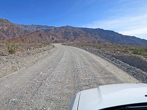
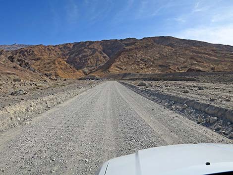
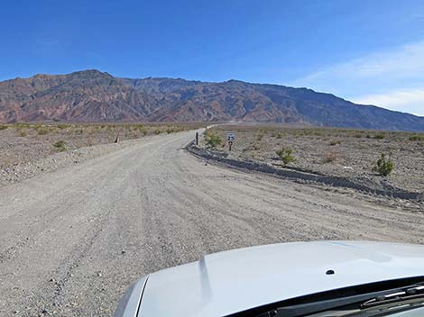 Starting up Mosaic Canyon Road (view S) |
Getting to Mosaic Canyon Road Mosaic Canyon Road is located in the central part of Death Valley National Park, about 2.5 hours northwest of Las Vegas. From town, drive out to Death Valley. From the Furnace Creek Visitor Center, drive north and then west on Highway 190 for 24.4 miles to Stovepipe Wells. From Stovepipe Wells, continue west on Highway 190 another few yards to a dirt road on the left just past the hotel parking lot. This is Mosaic Canyon Road, as announced on a sign on the north side of Highway 190. |
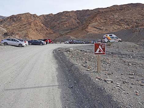
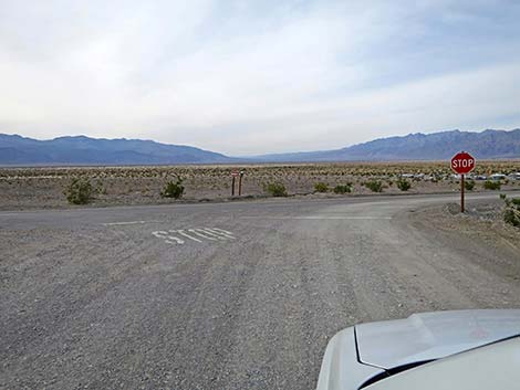
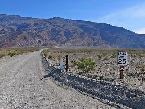 The speed limit is 25 mph, and there is no camping in this area |
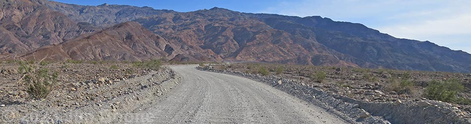
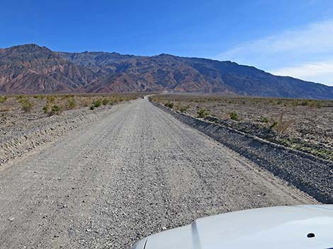
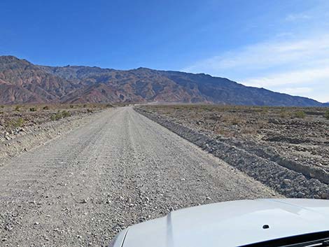
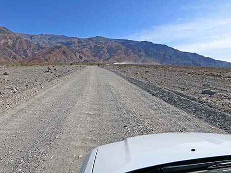
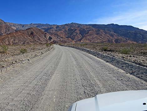
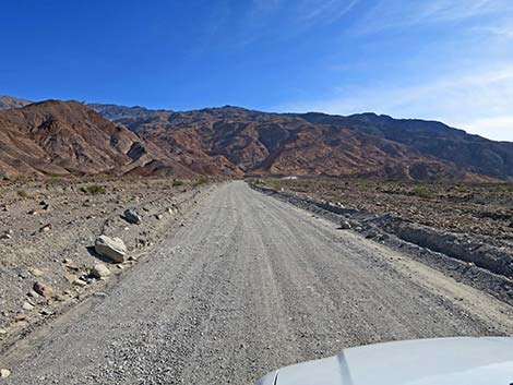
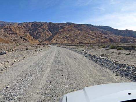
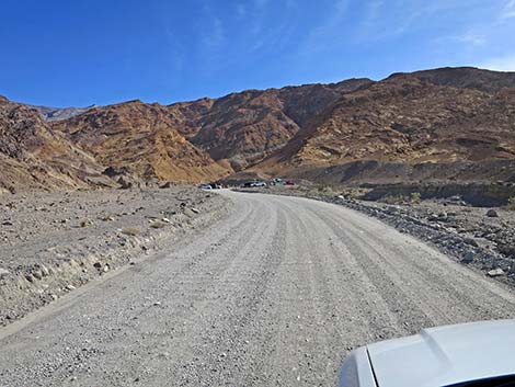
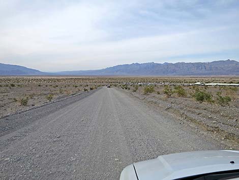
The Road From the pavement (Table 1; Site 0750), Mosaic Canyon Road runs south and up the bajada toward the base of Tucki Mountain. Leaving the Stovepipe Wells Hotel area, the road passes water treatment infrastructure and continues into the desert. The road gets a fair bit of use, so it gets badly washboarded between gradings. The bumps are uncomfortable, but keeping up a moderate speed usually makes them feel better. At about 0.7 miles out, the road enters the Death Valley Wilderness Area running up a narrow corridor of non-wilderness land. For many people, this is their chance to "drive in a wilderness area." Enjoy the scenery. Continuing, at about 2.3 miles out, Mosaic Canyon Road arrives at Mosaic Canyon Trailhead parking. Mosaic Canyon Trail continues south in the same direction as the road. |
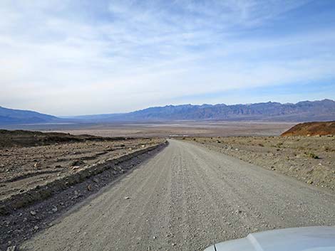
 Mosaic Canyon Road (view SW) |
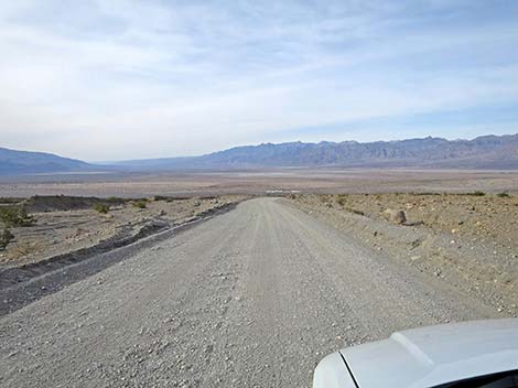
 Mosaic Canyon Road (view SW) |
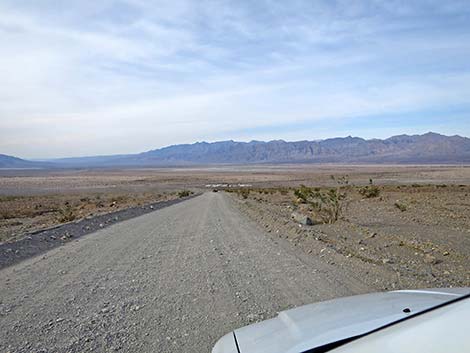
 Mosaic Canyon Road; note dust cloud of on-coming vehicle (view SW) |
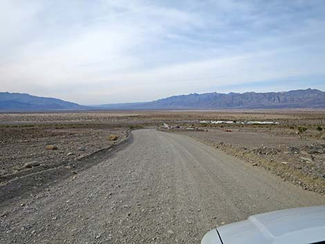
 Mosaic Canyon Road (view SW) |
 |
 |
 |
 |
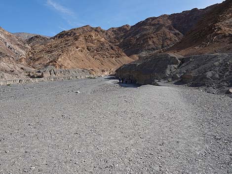
 Approaching Mosaic Canyon Trailhead (view S) |
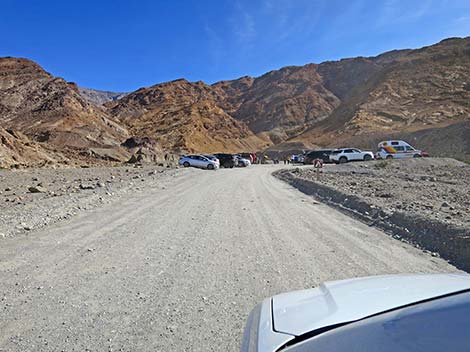 Arriving at Mosaic Canyon Trailhead (view S) |
 Road signs (view S) |
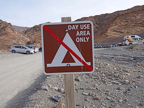 As a reminder, no camping here (view S) |
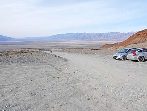
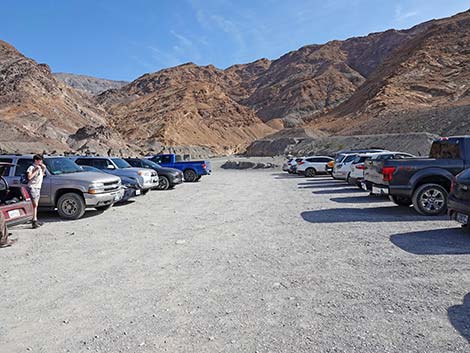 Mosaic Canyon Trailhead parking (view S) |
 Mosaic Canyon Trailhead parking (view S) |
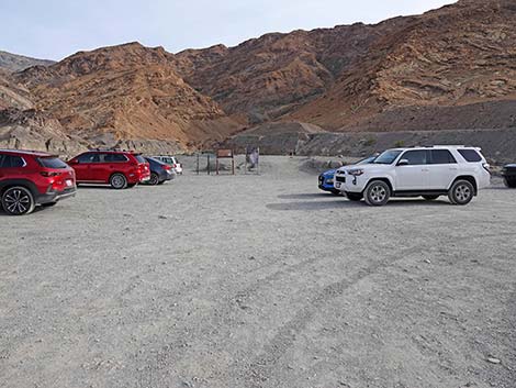
 Mosaic Canyon Trailhead (view S) |
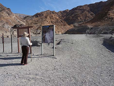 Hiker at Mosaic Canyon Trail signs (view S) |
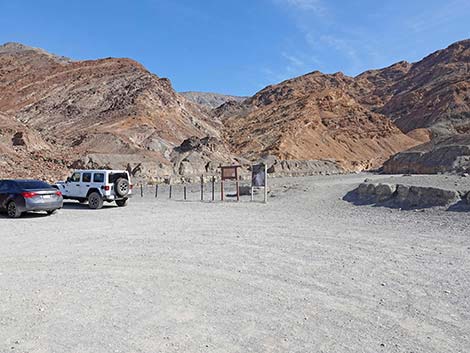
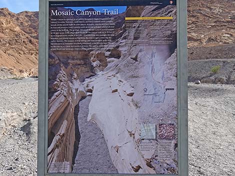 Mosaic Canyon Trail sign with information and map (view S) |
 Start of Mosaic Canyon Trail (view S) |
Returning Down Mosaic Canyon Road--because it always looks different on the way down.
 Departing Mosaic Canyon Trailhead (view N) |
 Starting down Mosaic Canyon Road (view N) |
 Mosaic Canyon Road (view N) |
 Mosaic Canyon Road (view N) |
 Mosaic Canyon Road approaching water treatment pipes (view N) |
 Mosaic Canyon Road approaching Stovepipe Wells (view N) |
 Mosaic Canyon Road at Highway 190 (view N) |
 More to come ... |
Table 1. Highway Coordinates Based on GPS Data (NAD27; UTM Zone 11S). Download Highway GPS Waypoints (*.gpx) file.
| Wpt. | Location | Latitude (N) | Longitude (W) | Elevation (ft) | Point-to-Point Distance (mi) | Cumulative Distance (mi) |
|---|---|---|---|---|---|---|
| 0750 | Hwy 190 at Mosaic Canyon Rd | 36.60437 | 117.14759 | 32 | 0.00 | 0.00 |
| 0749 | Mosaic Canyon Parking | 36.57193 | 117.14349 | 942 | 2.28 | 2.28 |
Happy Hiking! All distances, elevations, and other facts are approximate.
![]() ; Last updated 240324
; Last updated 240324
| Hiking Death Valley | Backroads | Hiking Around Las Vegas | Glossary | Copyright, Conditions, Disclaimer | Home |