Hiking Around Las Vegas, Death Valley National Park
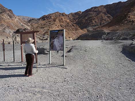 Hiker at Mosaic Canyon Trailhead sign (view S) |
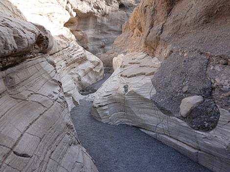
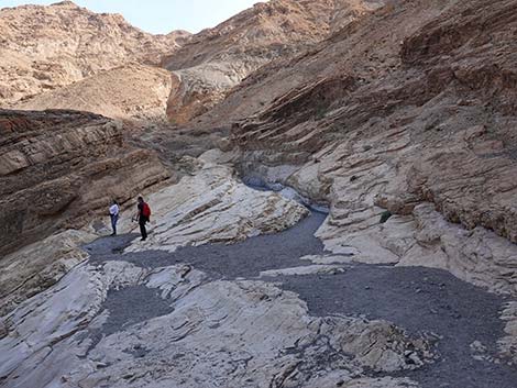
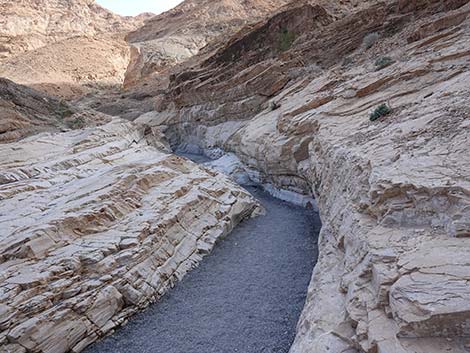
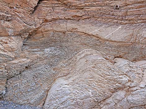
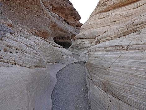
Overview The Lower Mosaic Canyon Trail is short hike that runs up into the Death Valley Wilderness Area following a gravel wash through a narrow canyon with water-polished walls made of white marble and blue-gray conglomerate rocks. The water-polished conglomerate rocks look like mosaic tiles grouted onto the canyon wall, hence the name of the canyon. After only a few minutes of walking, hikers enter a narrow slot that is only 2-3 feet wide in places, but the canyon generally feels open and airy. The best water-polished marble in the entire canyon is located between 0.21 and 0.27 miles from the trailhead. For details of continuing up this geologically interesting canyon to a pour-over, see the Upper Mosaic Canyon Trail. Best of the Canyon one-way distance: 0.27 miles. Net elevation gain: 180 ft. Top of the Lower Narrows one-way distance: 0.56. Net elevation gain: 270 ft. Link to map. |
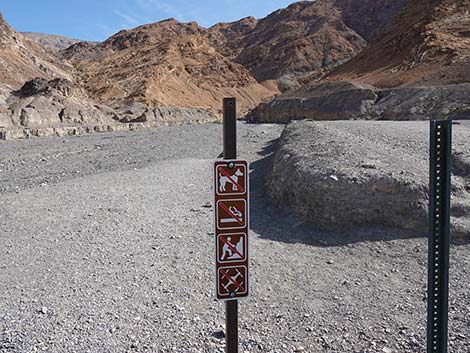 Trail rules sign at the trailhead (view S) |
Watch Out Other than the standard warnings about hiking in the desert, ...this hike is pretty safe, but stay out of the canyon if it is raining or threatens to rain because of flashflood dangers. There are several small scramble-ups in the narrows that are fairly easy to pass, but the rock is water-polished, slick, and covered with dust and gravel, so the risk of slipping is greater than usual (speaking from experience). While hiking, please respect the land and the other people out there, and please try to Leave No Trace of your passage. Also, this is a short hike, so just take what you need of the 10 Essentials. |
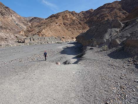
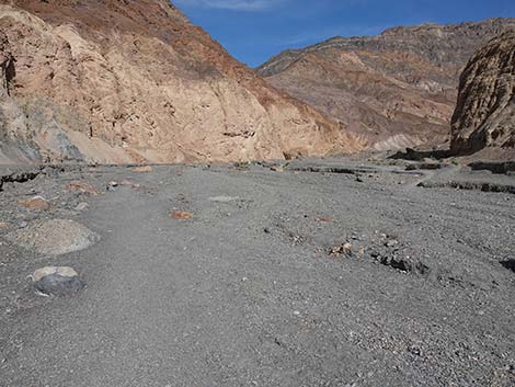
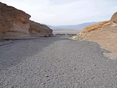
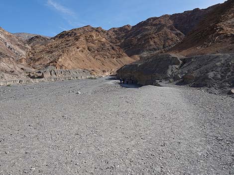 Trail starts on high ground adjacent to Mosaic Canyon Wash (view S) |
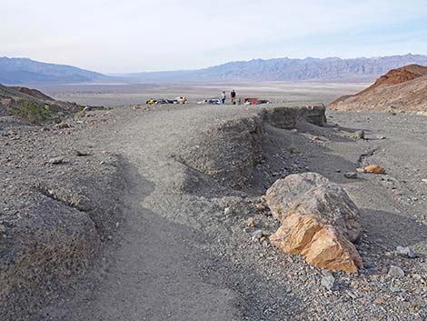
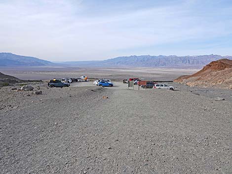
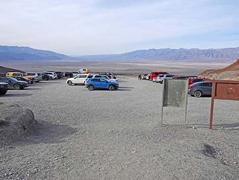
Getting to the Trailhead Mosaic Canyon is located in Death Valley National Park, about 3.5 hours northwest of Las Vegas. From town, drive out to Death Valley. From the Furnace Creek Visitor Center (Table 1, Site 0712), drive north on Highway 190 for 24 miles to Stovepipe Wells (Site 0751). Continue west on Highway 190 for another 0.25 miles to Mosaic Canyon Road (Site 0750), a graded dirt road just west of Stovepipe Wells Campground. Turn south (left) onto Mosaic Canyon Road, and drive for 2.3 miles to the end of the road at the edge of the mountains (Site 0749). Park here; this is the Mosaic Canyon Trailhead. |
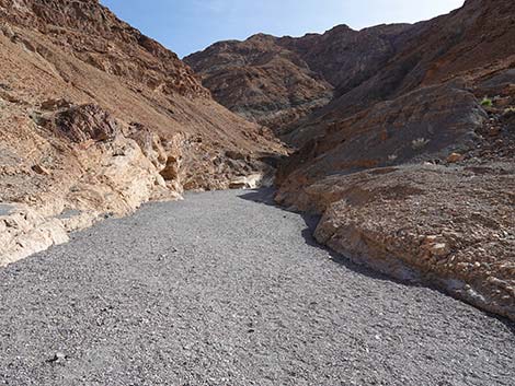
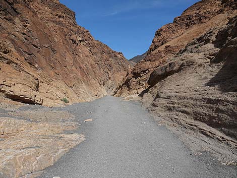
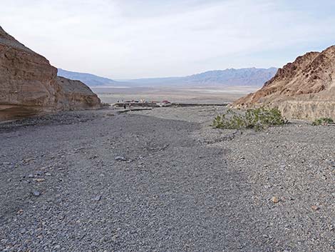
 Trail drops into the wash (view S) |
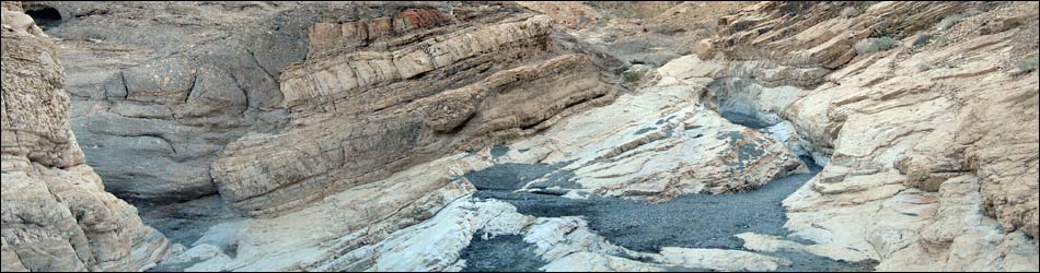
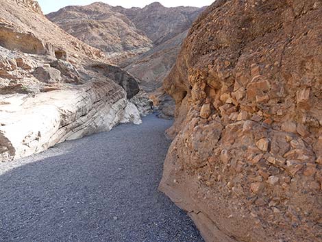
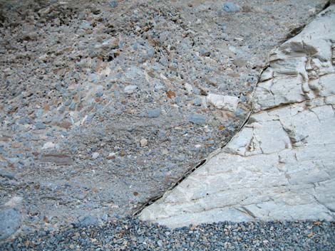
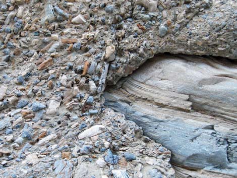
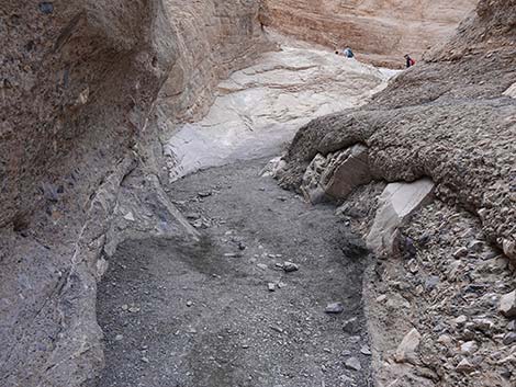
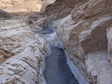
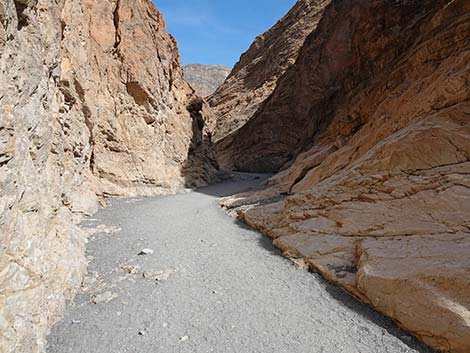
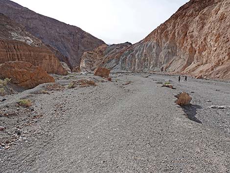
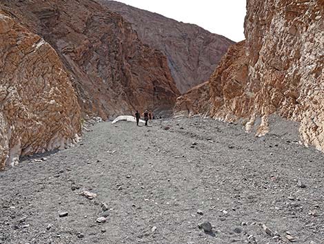
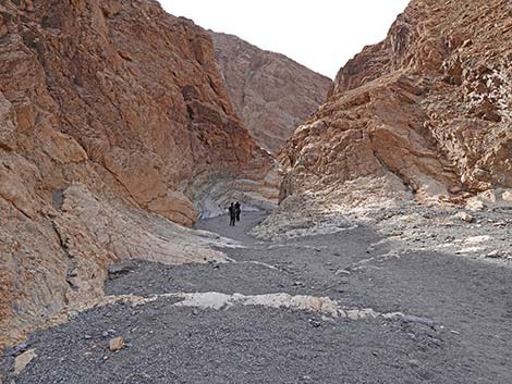
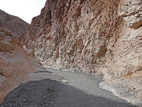
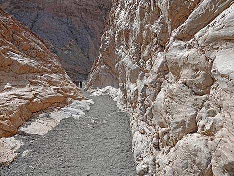
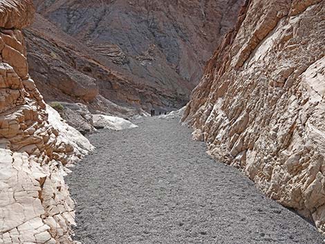
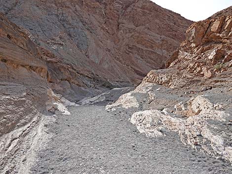
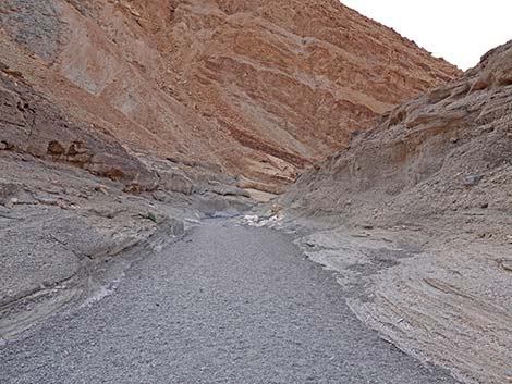
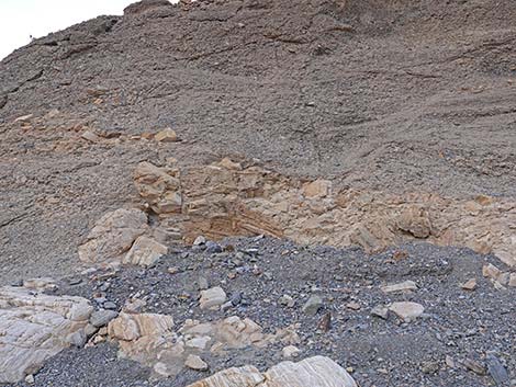
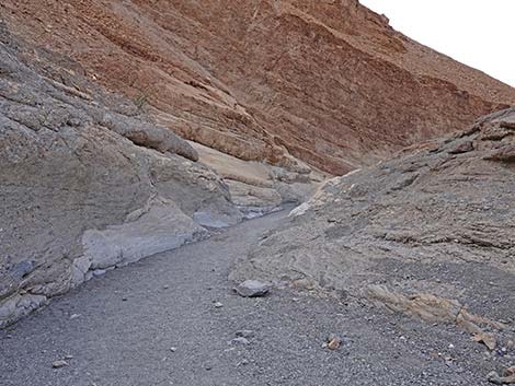
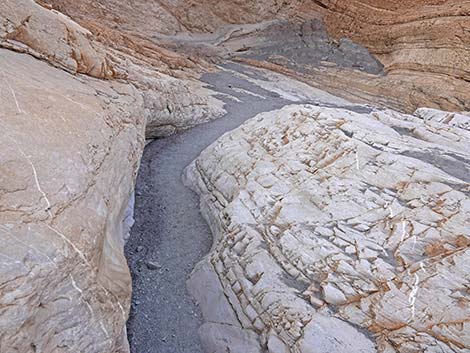
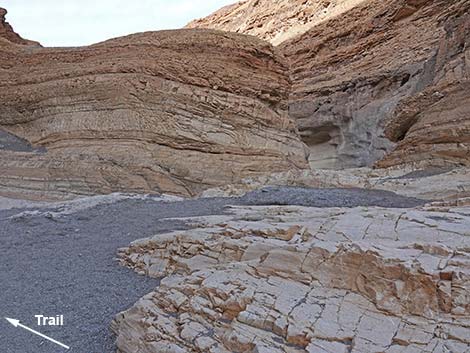
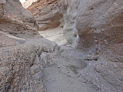
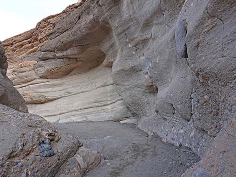
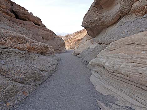
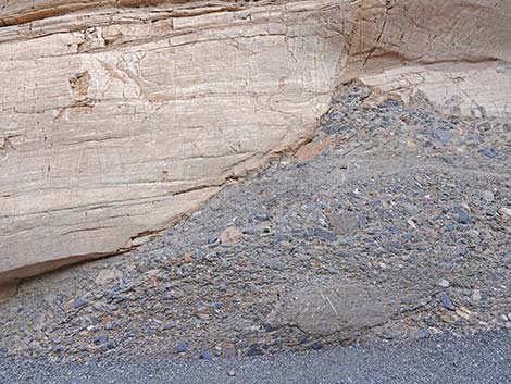
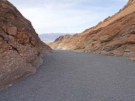
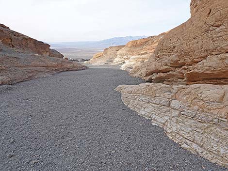
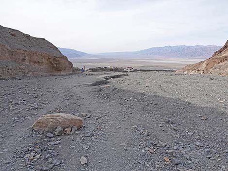
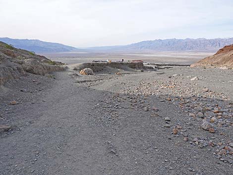
The Hike From the trailhead (Table 2, Waypoint 01), Mosaic Canyon Trail runs south and up the wash towards the mouth of Mosaic Canyon. The trail starts at the top of an enormous alluvial fan that stretches all the way to the Mesquite Flat Sand Dunes, which can be seen in the distance below. Initially, the wash runs between 15-ft-tall alluvial walls with the dark gray-and-brown cliffs of Tucki Mountain towering above them. At about 0.09 miles from the trailhead (Wpt. 02), the trail passes the alluvial cliffs and gets into bedrock at the mouth of Mosaic Canyon. At that point, the rock walls at the edge of the wash are white. This is water-polished marble (metamorphosed limestone). The white marble is exposed on the edges of the wash because it is water polished; above the wash, a thick patina of desert varnish darkens the marble. |
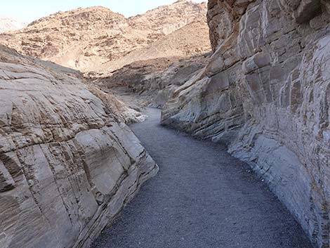
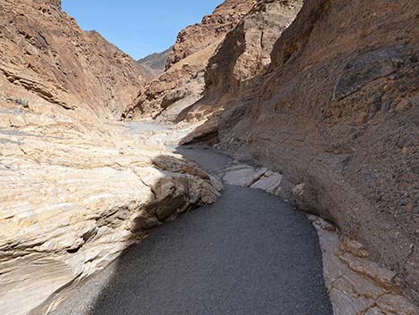
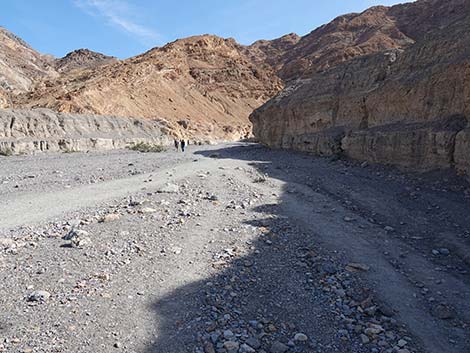 Trail runs up the wash for the rest of the hike (view S) |
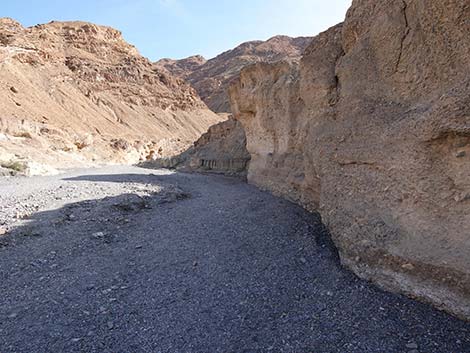
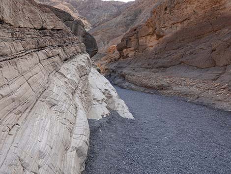
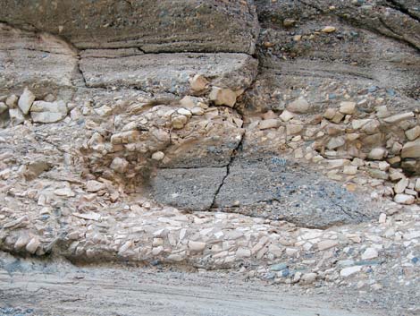
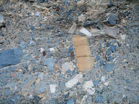
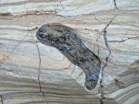
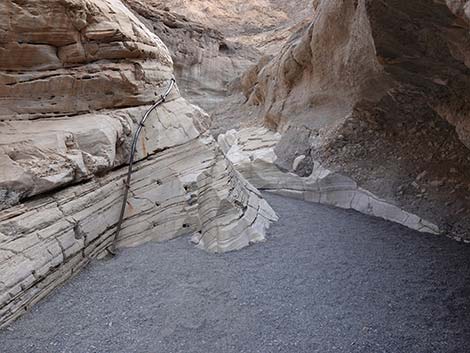
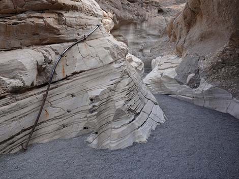
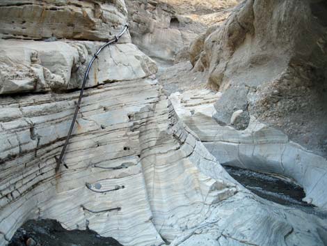
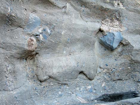
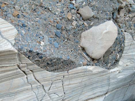
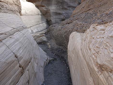
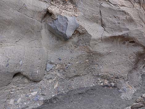
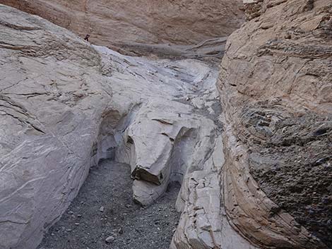
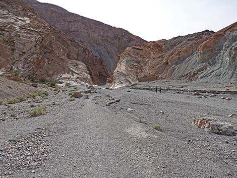
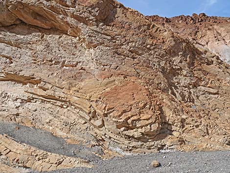
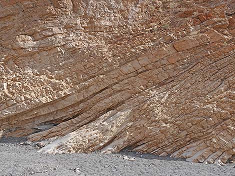
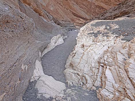
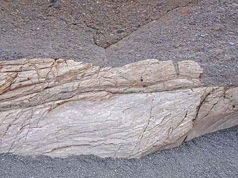
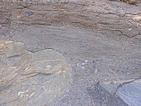
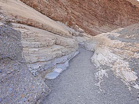
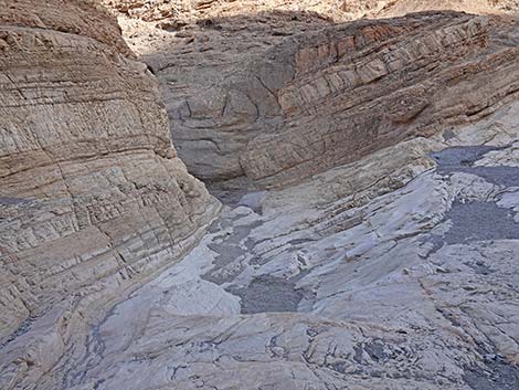
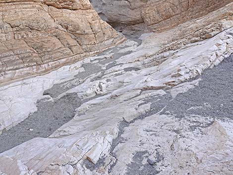
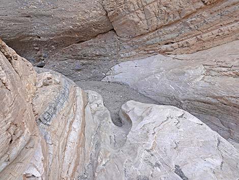
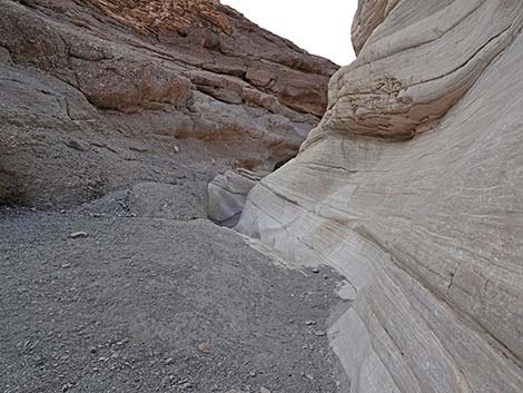
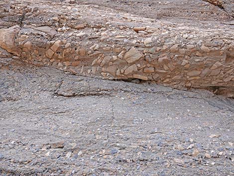
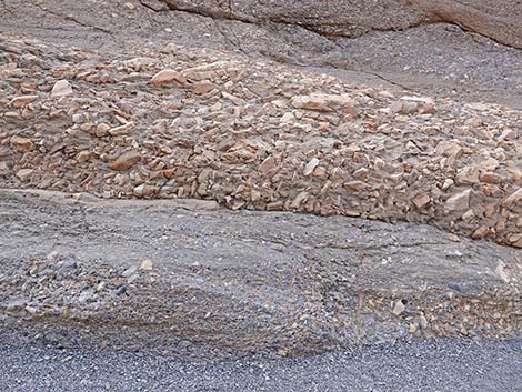
The vegetation in this area is sparse, as usual for this desert, and dominated by creosote bush. Higher up Mosaic Canyon, the vegetation is more diverse and includes pygmy cedar, ephedra, a couple of other shrubs, and many little annuals when there has been enough rain. Continuing up Mosaic Canyon, at about 0.15 miles out, the trail arrives at the bottom of the Lower Narrows. Here, the east (left) side of the canyon is mostly white, water-polished marble, but the west (right) side is layered: the base layer is marble, but that is overlain by a cobbly conglomerate, which in turn is overlain by more-recent, finer-grained conglomerate alluvial materials. Scrambling up the winding narrows, the rock is water-sculpted and water-polished, and there are many examples of the marble-and-conglomerate mosaic in the walls of the canyon. Here, long ago, the bedrock was crushed into small pieces, perhaps as a result of earthquake activity or maybe it was just gravel in the bottom of the wash, and then dissolved limestone filled in the spaces around the rubble and solidified to form solid rock (much like concrete with gravel mixed in). |
 Conglomerate cliffs at canyon mouth (view S) |
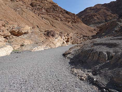
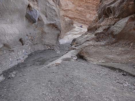
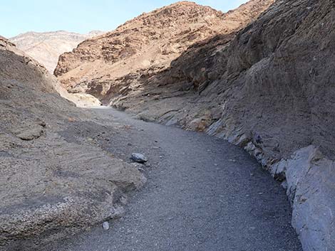
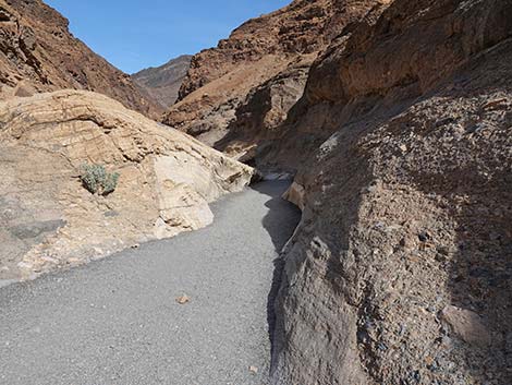
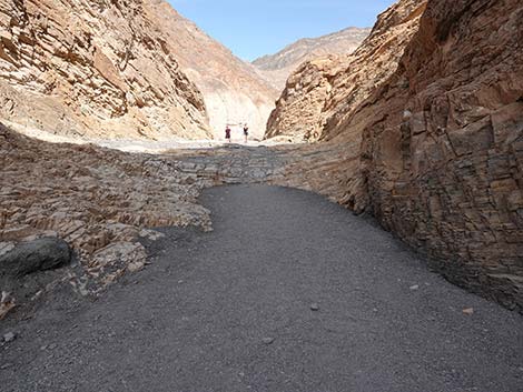
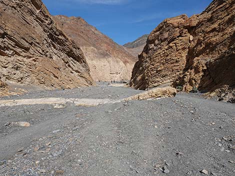
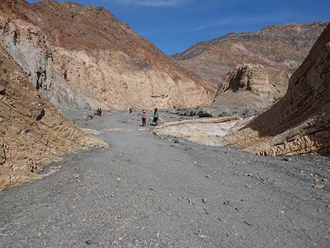
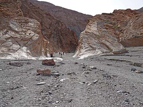
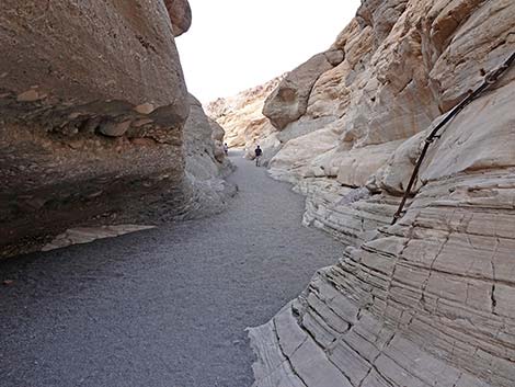
Later, the wash cut down through the rock, exposing the mosaic appearance. There are places along the edge of the wash where either the infilling process was not complete or the infill material has eroded away, revealing the 3-dimensional nature of the original rubble. At about 0.24 miles out, the trail passes the remains of iron stairs (Wpt. 03) that were built to bypass an obstacle that no longer exists. It is interesting to see the old-time workmanship demonstrated here. Shortly, the canyon jogs right (west) and the route ascends a pour-over cascade (Wpt. 04) where it is easier to stay to the right all the way through as the canyon bends back to the east. For hikers not going to Upper Mosaic Canyon, this is a good place to stop because this is the end of the best of the Lower Narrows. Some hikers might want to continue another 0.28 miles through an interesting narrow-ish canyon to where Mosaic Canyon widens abruptly (Wpt. 05). This truly is the end of the best of the Lower Narrows. Rest here in the narrows and relax for a spell, then follow your footprints back down through the narrows to the trailhead (Wpt. 01). |
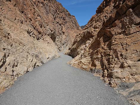
 Entering the narrows (view S) |
 Starting up the narrows (view S) |
 The walls of the canyon become interesting (view S) |
 Beginning of water-polished narrows (view S) |
 Interesting geology |
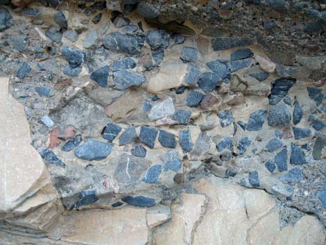 Details of the mosaic texture in the canyon wall |
 Wall formed of polished white marble and polished conglomerate |
 Wall formed of polished conglomerate rock |
 Wall formed of polished white marble and polished conglomerate |
 A patch of mosaic in the marble wall |
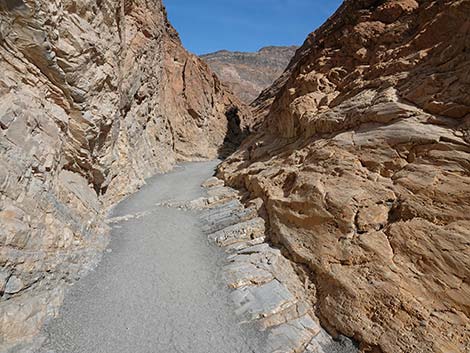
 Approaching old stairs and handrail used for a bypass (view S) |
 Old stairs (missing) and handrail used for a bypass (view S) |
 Historic metal steps and handrail on the side of the canyon |
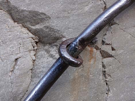 They don't build this like this anymore |
 Larger rocks embedded in the rock wall |
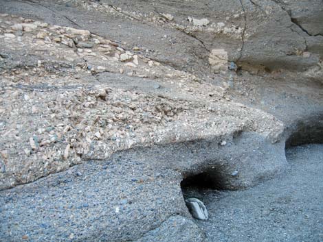 Interesting geology |
 Another large rock embedded in the conglomerate rock wall |
 The canyon becomes quite narrow (view S) |
 The step-up here is quite slippery |
 The canyon bends to the right (view SW) |
 Even a boulder embedded in the conglomerate rock wall |
 The canyon jogs to the right (view SW) |
 Slippery, polished rock to scramble up |
 Above slippery scramble-up, canyon jogs back to the left (view SE) |
 |
 |
 |
 |
 Winding up through the canyon (view SE) |
 Last of the polished white marble (view SE) |
 Layered red cliffs border the gravel wash (view E) |
 The trail enters another narrow section (view E) |
 Winding up through the narrow section (view E) |
 Continuing through the narrow section (view E) |
 Upper end of this narrow section (view E) |
 Approaching the end of this narrow section (view E) |
 Exiting this narrow section into a wider canyon (view E) |
 Entering the wide canyon (view E) |
Descending the Lower Mosaic Canyon Trail
 |
 |
 |
 |
 |
 |
 |
 |
 |
 |
 |
 |
 |
 |
 |
 |
 |
 |
 Nice polished narrows (view N) |
 Approaching the tight jog in the canyon (view N) |
 Tight jog in the canyon (view NE) |
 Some hikers like to sit and slide down the polished marble |
 |
 |
 |
 |
 |
 |
 |
 |
 |
 |
 |
 |
 |
 |
 |
 |
 |
 |
 Approaching the trailhead (view N) |
 Mosaic Canyon Trail returning to the trailhead (view N) |
Table 1. Highway Coordinates (NAD27; UTM Zone 11S). Download Highway GPS Waypoints (*.gpx) file.
| Site # | Location | Latitude (N) | Longitude (W) | Easting | Northing | Elevation (ft) | Verified |
|---|---|---|---|---|---|---|---|
| 0712 | Furnace Creek Visitor Center | 36.46159 | 116.86574 | 512030 | 4034954 | -186 | Yes |
| 0749 | Mosaic Canyon Parking | 36.57194 | 117.14349 | 487161 | 4047195 | 942 | Yes |
| 0750 | Hwy 190 at Mosaic Canyon Rd | 36.60457 | 117.14758 | 486801 | 4050816 | 32 | Yes |
| 0751 | Hwy 190 at Stovepipe Wells | 36.60654 | 117.14594 | 486948 | 4051034 | 0 | Yes |
Table 2. Hiking Coordinates Based on GPS Data (NAD27, UTM Zone 11S). Download Hiking GPS Waypoints (*.gpx) file.
| Wpt. | Location | UTM Easting | UTM Northing | Elevation (ft) | Point-to-Point Distance (mi) | Cumulative Distance (mi) |
|---|---|---|---|---|---|---|
| 01 | Mosaic Canyon Trailhead | 487170 | 4047185 | 942 | 0.00 | 0.00 |
| 02 | Bottom of First Narrows | 487209 | 4047057 | 1,033 | 0.09 | 0.09 |
| 03 | Old Stairs | 487241 | 4046841 | 1,118 | 0.15 | 0.24 |
| 04 | Top of First Narrows | 487212 | 4046784 | 1,122 | 0.04 | 0.28 |
| 05 | Canyon Abruptly Widens | 487567 | 4046771 | 1,213 | 0.28 | 0.56 |
| 01 | Mosaic Canyon Trailhead | 487170 | 4047185 | 942 | 0.56 | 1.12 |
Happy Hiking! All distances, elevations, and other facts are approximate.
![]() ; Last updated 240324
; Last updated 240324
| Death Valley | Hiking Around Las Vegas | Glossary | Copyright, Conditions, Disclaimer | Home |