Hiking Around Las Vegas, Lake Mead NRA, Black Canyon Wilderness Area
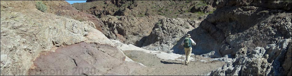
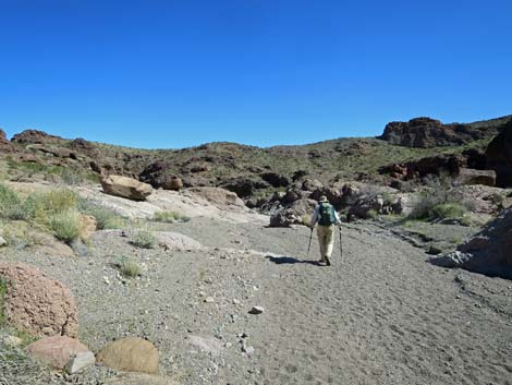
 End of Boy Scout Road (4WD section) (view N; notice soft sand) |
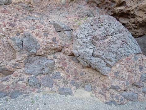
Overview Boy Scout Canyon makes for a nice, close-to-town, 4-mile hike down a sandy wash in a beautiful desert canyon until passage is blocked by a 330-foot-high pour-over. The first 2.2 miles of the sandy wash (Boy Scout Canyon Road) can be driven in a 4WD vehicle, but the remaining 1.8 miles is a hike in the Black Canyon Wilderness Area. The canyon is fairly open with little shade, although there is shade in narrower parts, and there are some pour-overs to pass. Near the end of the hike, the wash enters a deep, narrow gorge that cuts through a ridge with wild-looking pyroclastic and ash-fall volcanic rocks. The hike ends atop a 20-foot pour-over that overlooks a 330-foot pour-over and provides a narrow view down the canyon to the east. An alternate ending is to climb out of the canyon just before the gorge and hike out to Colorado River Overlook, a knob that provides great views of the Wilderness area, the Colorado River, water, and green vegetation in the bottom of Boy Scout Canyon far below. Link to hiking map or route profile. |
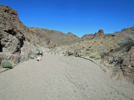
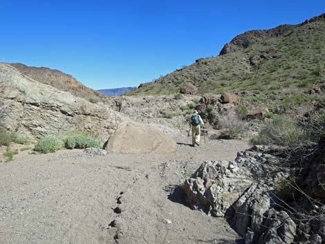
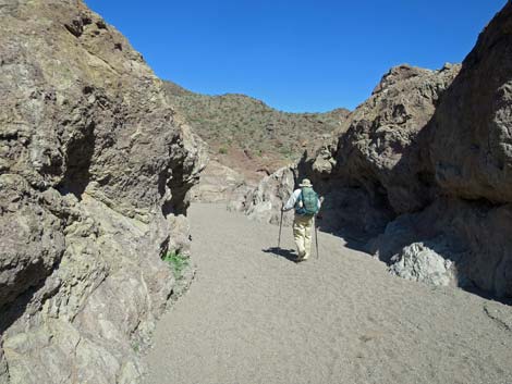
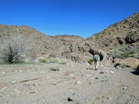
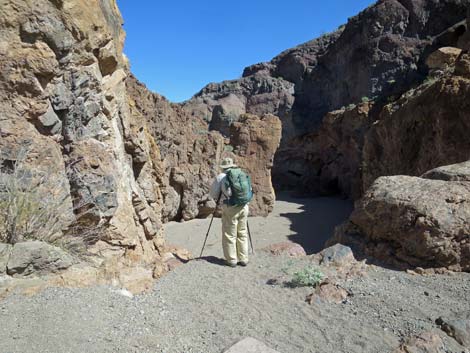
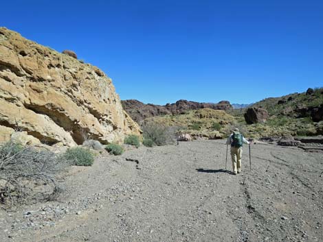
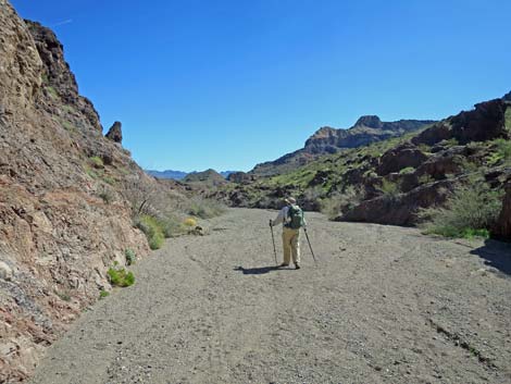
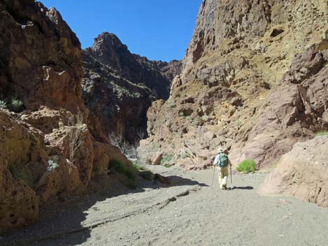
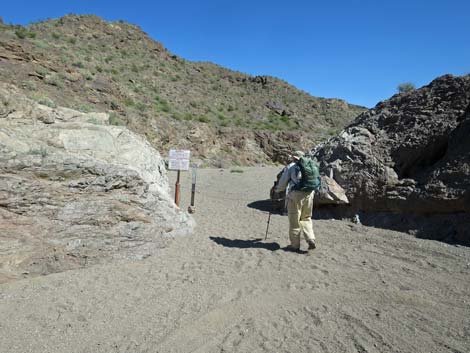 Hiker at Boy Scout Canyon Trailhead (view NE) |
For very adventuresome hikers, the Colorado River Overlook route provides a way to Boy Scout Hot Spring and the Colorado River, which are in the bottom of Boy Scout Canyon. There is no easy hiking route to Boy Scout Hot Spring. From near the Colorado River Overlook, a route to the hot springs drops off the cliff and heads nearly straight down to the bottom of the canyon. The route is not for the faint of heart: it starts by climbing over the edge of the cliff with an airy bit of 4th-class climbing and about 500 feet of exposure -- and it never really eases up. For hikers wanting a nice hike to a hot spring, go to Goldstrike Hot Springs or Arizona Hot Springs. For hikers who really want to visit Boy Scout Hot Spring, rent a canoe and paddle to the mouth of the canyon, then walk up to the hot spring. |
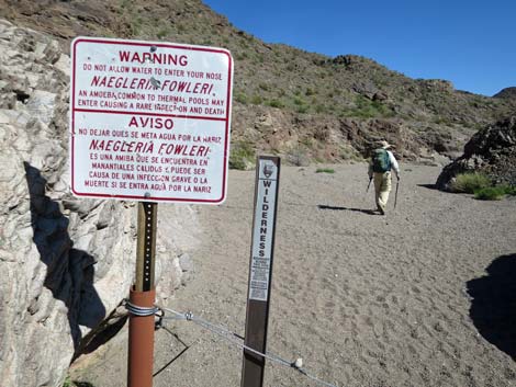 Boy Scout Canyon Trailhead signs (view NE) |
Watch Out Other than the standard warnings about hiking in the desert, ...this is a safe hike down a sandy wash, but sandy washes are harder to walk in than they look. The first 2.2 miles follows a jeep trail, so watch for vehicles. Tires loosen and stir up the sand, so look for better footing along the sides of the wash. There is one, 3rd-class pour-over to climb along the hiking route, but it is only 15-ft and fairly safe. There are warning signs about Naegleria fowleri, a pathogenic amoebae, but this extremely rare disease is related to water, so this only applies to people hiking all the way to Boy Scout Hot Spring. While hiking, please respect the land and the other people out there, and try to Leave No Trace of your passage. Also, even though this hike is short, rescues from narrow canyons are difficult, so be sure to bring what you need of the 10 Essentials. This hike goes into the Black Canyon Wilderness Area, so pay particular attention to respecting the land. |
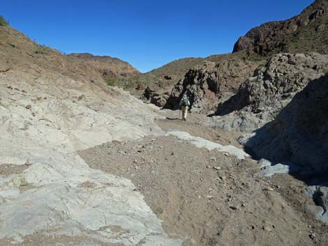
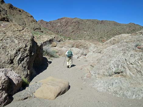
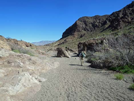
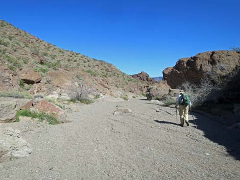
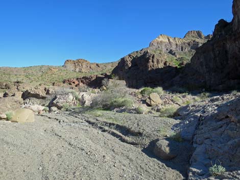
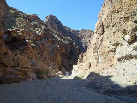
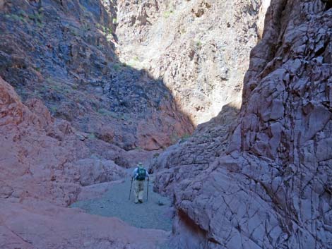
 Boy Scout Canyon Wash starts out wide and open (view NE) Boy Scout Canyon Wash starts out wide and open (view NE) |
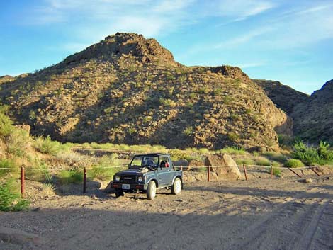
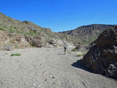
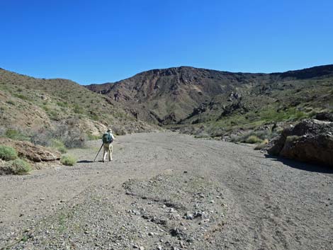
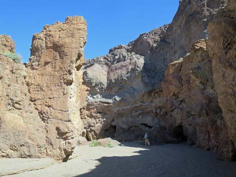
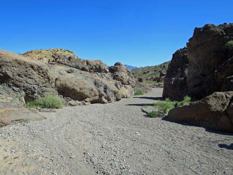
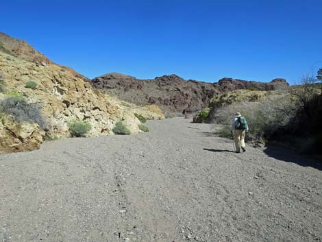
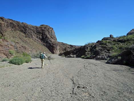
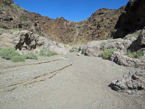
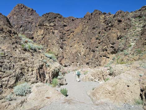
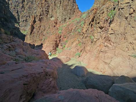
Getting to the Trailhead This hike is located in Lake Mead National Recreation Area, just southeast of Boulder City. From downtown Boulder City, drive southeast on Utah Street out past the cemetery into the open desert. Utah Street ends at a garbage transfer station. Just before the transfer station, turn right onto a paved road and follow it south under Interstate 11 towards the gun range. Just past the interstate and before the shooting starts, turn right onto Canyon Point Road and then left onto Boy Scout Canyon Road. The trailhead is either near the Lake Mead NRA boundary signs or at the end of the road. Link to Boy Scout Canyon Road map. The Hike From the Lake Mead boundary, the route follows the wash down the canyon for 2.2 miles. Parts of the canyon are narrow and cliffy, but the hills above are fairly low and lay back away from the wash, so the feeling generally is fairly open. The hills on both sides are in the Black Canyon Wilderness Area, so the road runs down a narrow corridor of non-wilderness. For details, see Boy Scout Canyon Road. |
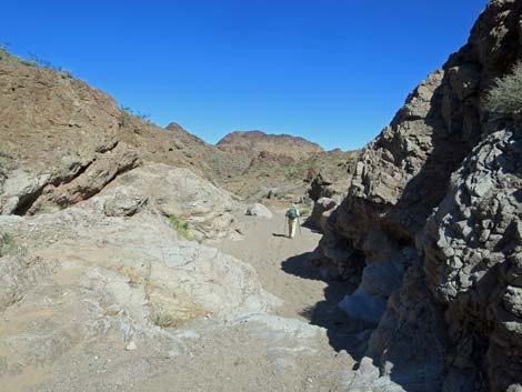
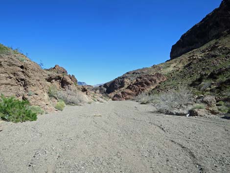
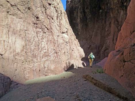
 Boy Scout Canyon Wash (view E) |
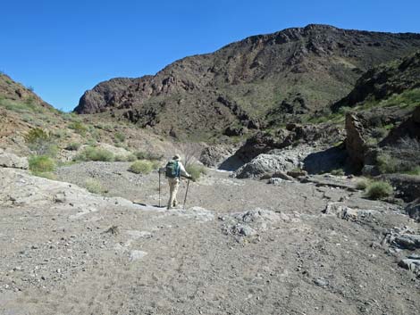
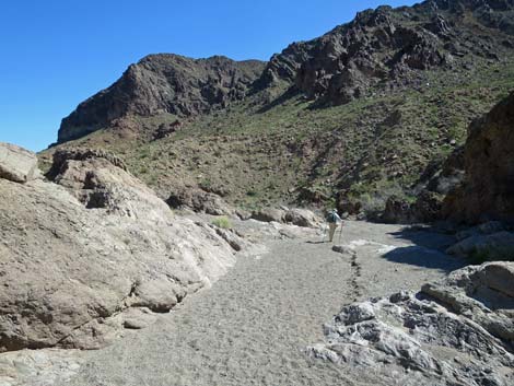
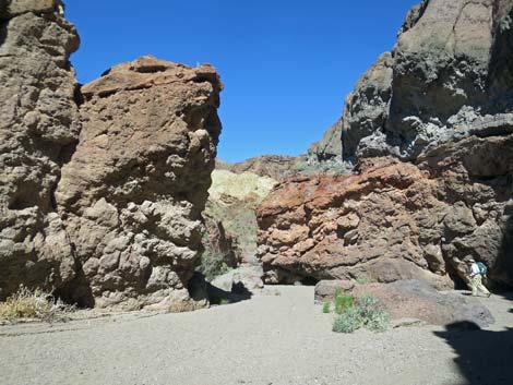
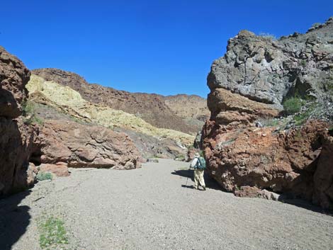
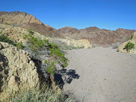
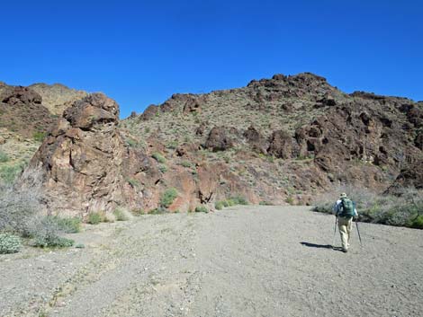
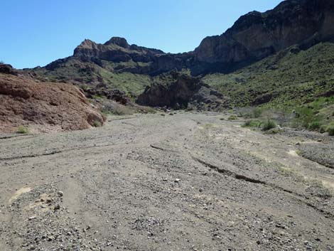
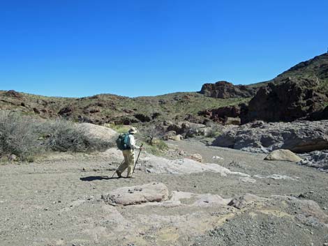
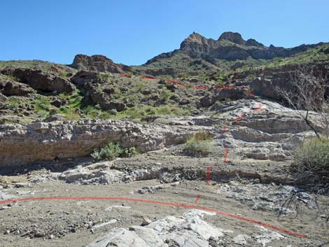
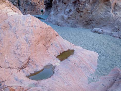
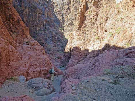
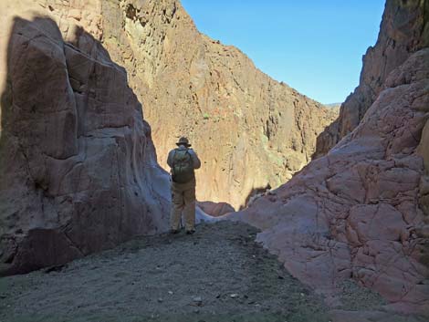
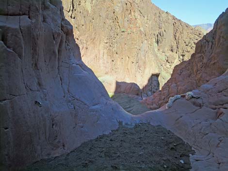
From the end of the road (Table 1, Waypoint 01), the route follows the wash downhill to the east and enters the Wilderness area. The surrounding mountains are formed of reddish brown and black volcanic rocks that are polished to a gray-green color along the edge of the wash. The sparse vegetation is dominated by creosote bush on the hillsides and catclaw acacia along the edges of the wash. There are many other species scattered about, including desert fir, chuckwalla delight, brittlebush, and Mormon tea, plus wildflowers in the springtime. At about 0.34 miles past the end of the road (Wpt. 02), the wash jogs north at a narrow rocky spot, and at about 0.80 miles out, the route arrives at a 15-ft pour-over (Wpt. 03) that is an easy 3rd-class downclimb. The route continues down the wash, and at about 1.49 miles out, arrives in a wide section of canyon where the wash runs over flat, water-polished rocks and cuts some shallow, winding slots (Wpt. 04). The route forks here: down the wash to the high pour-overs versus up to the Colorado River Overlook. |
 Boy Scout Canyon Wash (view E) |
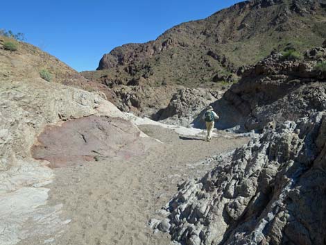
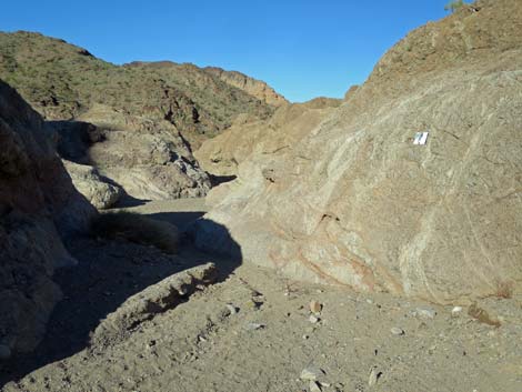
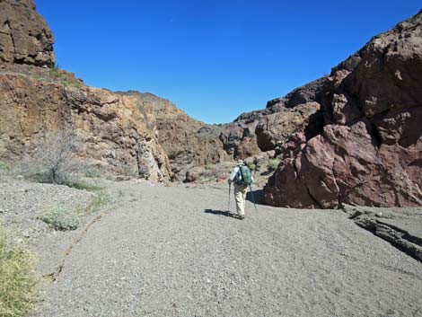
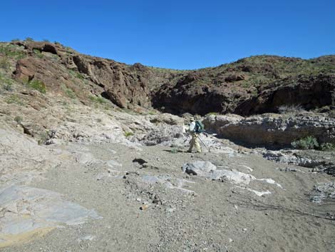
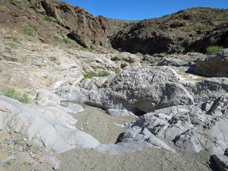
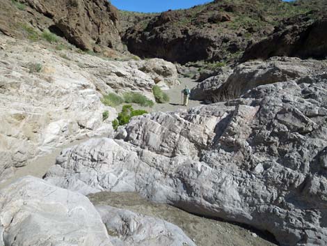
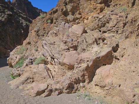
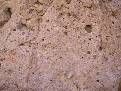
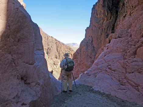
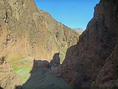
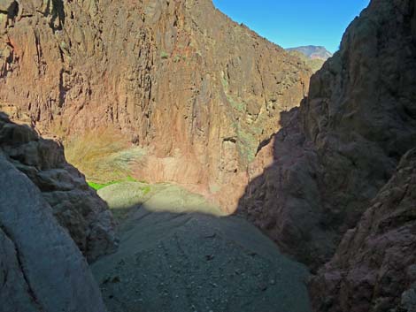
Just below the water-polished rocks (Wpt 04), the wash curves north and enters the gorge, a deep narrow canyon that is 20-25 ft wide at the bottom and 200-300 ft deep. The canyon walls here are a wild mix of pyroclastic and ash-fall volcanic rocks. The canyon route ends about 1.80 miles out, at the top of a 20-ft pour-over (Wpt. 05). Just below the 20-ft pour-over, there is a sandy platform, then a 330-ft pour-over that drops off into Lower Boy Scout Canyon. The perch atop the 20-ft pour-over provides a narrow view east down Boy Scout Canyon. The 20-ft pour-over can be passed with a bit of dicey 4th-class climbing on slick, water-polished rock with few good handholds. Fixed anchors and ropes were in place in 2020, which makes passing the pour-over a bit safer, however, the view from atop the 330-ft pour-over is little better than the view from atop the 20-ft pour-over. The top of the 20-ft pour-over is a great place to sit in the shade, gaze out through the slot, and contemplate the mysteries of life, geology, and erosion. |
 Boy Scout Canyon Wash (view E) |
On the way out, consider hiking up to the Colorado River Overlook, which provides great views up and down Black Canyon, a sliver of the Colorado River and the bridge, and mountains in Arizona. Just above the narrow gorge (Wpt. 04), a use-trail (Wpt. 06) cuts out of the wash and runs out to an overlook atop a 500-ft cliff (Wpt. 08). Colorado River Overlook is the end of the "official" trail. To get to the hot springs, backtrack a bit (Wpt. 07) to where the route goes over the edge of the cliff and winds down through the cliffs. Hikers who can get over the edge without falling, can find their way to the bottom of the canyon, but be very careful (especially the first step off the cliff). Otherwise, return to the trailhead by following your footprints back up Boy Scout Canyon. For photos of the return, see Boy Scout Canyon, Return to the Trailhead. |
 Boy Scout Canyon Wash (view E) |
 Boy Scout Canyon Wash (view NE) |
 Boy Scout Canyon Wash (view N) |
 Boy Scout Canyon Wash (view N) |
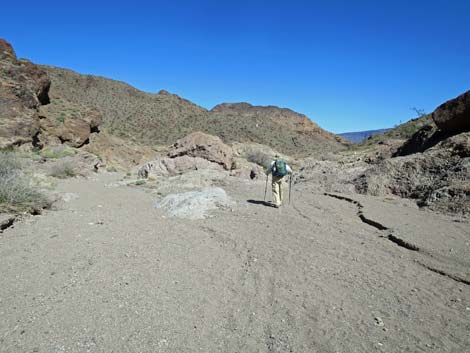 Wash forks, left or right are okay (view N) |
 Wash forks, hiker staying right (view NE) |
 Wash forks, hiker staying right, forks merging (view NW) |
 The canyon is finally too narrow for illegal vehicles |
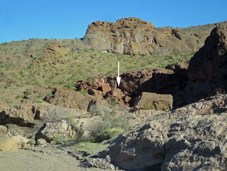
 Sign on the rock wall (view NE) |
 Sign: hard to read -- warning about Naegleria fowleri. |
 Boy Scout Canyon Wash (view N) |
 Boy Scout Canyon Wash (view NE) |
 Boy Scout Canyon Wash (view E) |
 Boy Scout Canyon Wash (view E) |
 Boy Scout Canyon Wash (view NE) |
 Boy Scout Canyon Wash (view NE) |
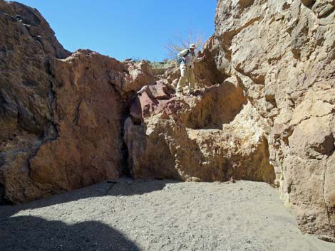
 Hiker approaching 15-ft pour-over (view NE) |
 Hiker atop 15-ft pour-over (view NE) |
 It always looks farther down than it really is (view down) |
 Hiker starting down the pour-over (view SW) |
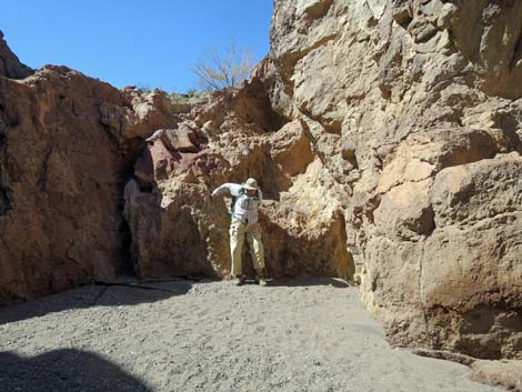 Hiker clearing the pour-over (view SW) |
 Nice shade below the pour-over (view NE) |
 Boy Scout Canyon Wash (view N) |
 Boy Scout Canyon Wash (view N) |
 Boy Scout Canyon Wash (view N) |
 Boy Scout Canyon Wash (view E) |
 Boy Scout Canyon Wash (view NE) |
 Boy Scout Canyon Wash (view NE) |
 Boy Scout Canyon Wash (view SE) |
 Boy Scout Canyon Wash (view E) |
 Boy Scout Canyon Wash (view E) |
 Boy Scout Canyon Wash (view SE) |
 Boy Scout Canyon Wash (view E) |
 Boy Scout Canyon Wash (view E) |
 First view of the Colorado River Overlook route (view ESE) |
 Colorado River Overlook: one option -- gap in the cliffs (view ESE) |
 Boy Scout Canyon Wash (view E) |
 Boy Scout Canyon Wash (view NE) |
 Better start of the Colorado River Overlook route (view S) |
 Hiker passing start of Colorado River Overlook route (view E) |
 Boy Scout Canyon Wash (view NE) |
 Boy Scout Canyon Wash (view NE) |
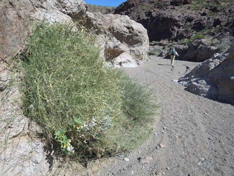 Vine Milkweed shrub along Boy Scout Canyon Wash (view NE) |
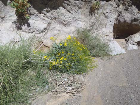 Brittlebush in bloom along Boy Scout Canyon Wash (view NE) |
 Boy Scout Canyon Wash (view NE) |
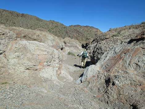
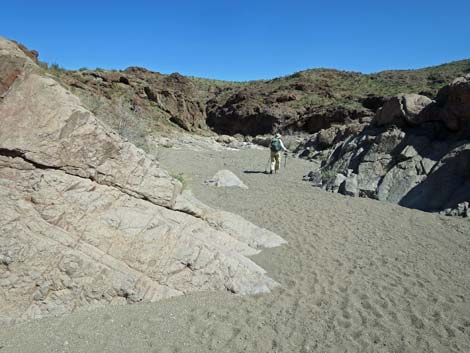
 Boy Scout Canyon Wash entering narrows (view N) |
 Boy Scout Canyon Wash (view N) |
 Boy Scout Canyon Wash (view NW) |
 Boy Scout Canyon Wash (view NW) |
 Boy Scout Canyon Wash (view NW) |
 Boy Scout Canyon Wash (view NE) |
 Boy Scout Canyon Wash (view S) |
 Boy Scout Canyon Wash (view NW) |
 Boy Scout Canyon Wash (view NW) |
 Boy Scout Canyon Wash (view NW) |
 Boy Scout Canyon Wash (view N) |
 Hiker approaching 330-ft pour-over (view NE) |
 Hiker at edge of 20-ft pour-over (view NE) |
 Hiker at edge of 20-ft pour-over (view NE) |
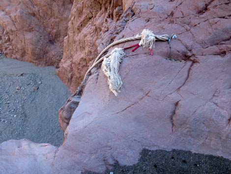 Anchor and fixed ropes atop 20-ft pour-over (view E) |
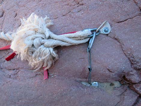 Anchor and fixed ropes atop 20-ft pour-over (view E) |
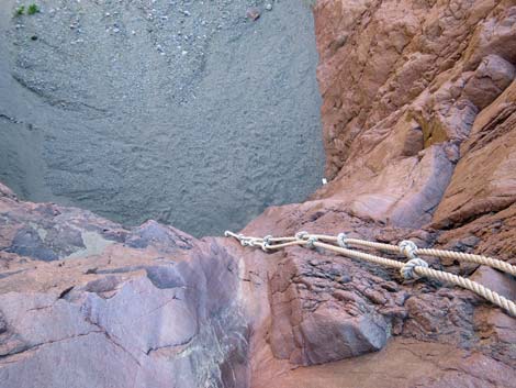 Fixed ropes hanging down 20-ft pour-over (view E) |
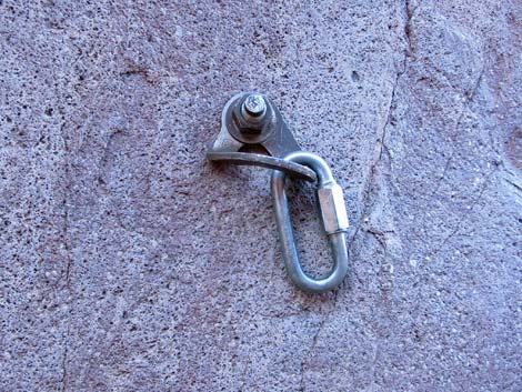 Anchor on north wall (view N) |
 Atop 20-ft pour-over, looking towards 330-ft pour-over (view NE) |
 Atop 20-ft pour-over, looking towards 330-ft pour-over (view NE) |
 Atop 20-ft pour-over, looking towards 330-ft pour-over (view NE) |
Table 1. Hiking Coordinates and Distances based on GPS data (NAD27; UTM Zone 11S). Download Hiking GPS Waypoints (gpx) file.
| Wpt. | Location | UTM Easting | UTM Northing | Elevation (ft) | Point-to-Point Distance (mi) | Cumulative Distance (mi) |
|---|---|---|---|---|---|---|
| 01 | Boy Scout Canyon Trailhead | 701197 | 3983039 | 1,705 | 0.00 | 0.00 |
| 02 | Wash Narrows | 701717 | 3983035 | 1,636 | 0.34 | 0.34 |
| 03 | 15-ft Pour-Over | 702071 | 3983527 | 1,536 | 0.46 | 0.80 |
| 04 | Start of Overlook Route | 702811 | 3983667 | 1,410 | 0.69 | 1.49 |
| 05 | 330-ft Pour-Over | 702728 | 3983973 | 1,375 | 0.31 | 1.80 |
| 01 | Boy Scout Canyon Trailhead | 701197 | 3983039 | 1,705 | 1.80 | 3.60 |
Happy Hiking! All distances, elevations, and other facts are approximate.
![]() ; Last updated 240326
; Last updated 240326
| Hiking Around Lake Mead | Hiking Around Las Vegas | Glossary | Copyright, Conditions, Disclaimer | Home |