Hiking Around Las Vegas, Spring Mountains (Mt. Charleston), Lee Canyon
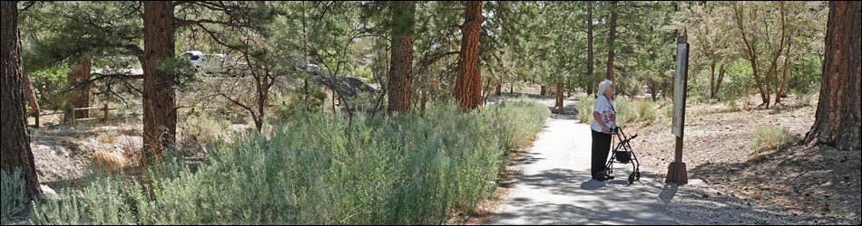
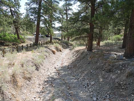
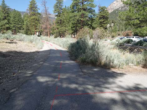
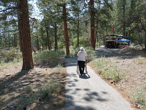
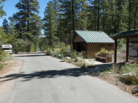
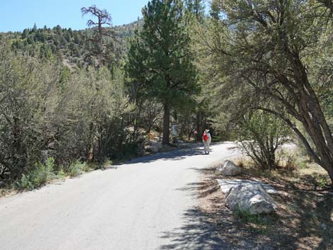
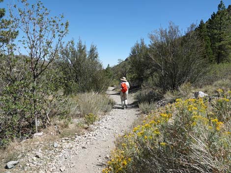
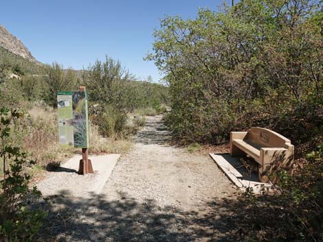
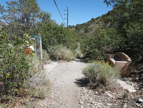
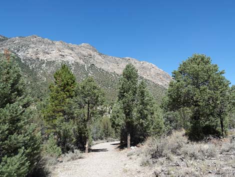
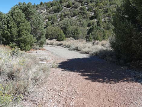
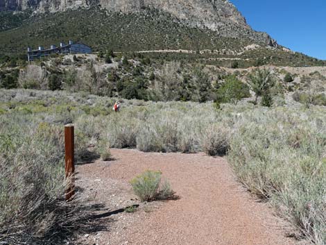
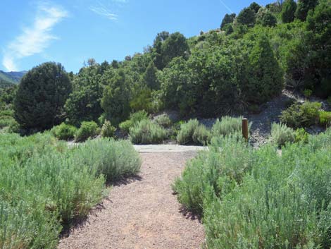
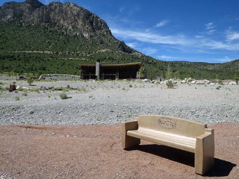
 Fletcher Canyon Trailhead parking area (view E) |
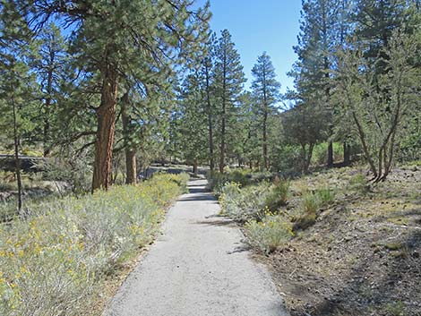
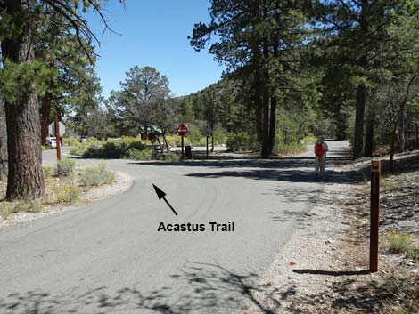
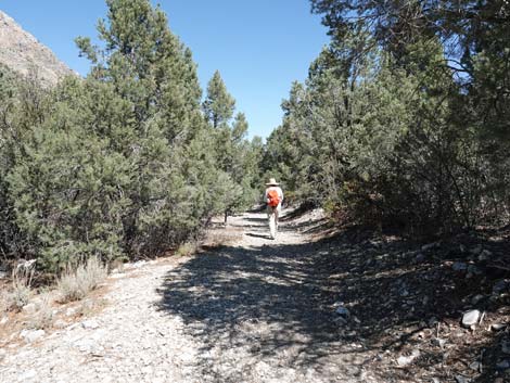
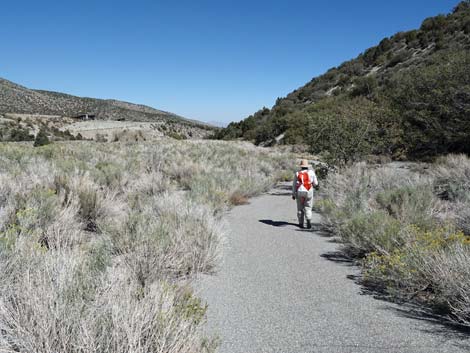
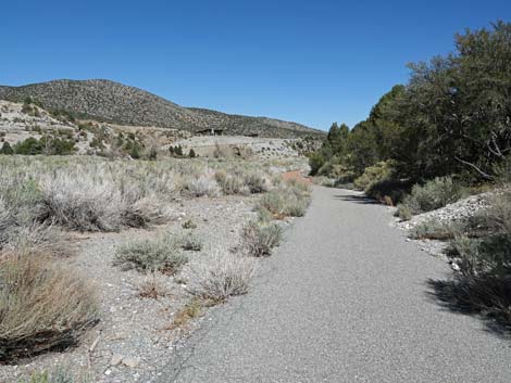
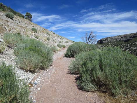
Overview The Acastus Trail (eastbound) is a fairly easy, 2-mile one-way hike that runs along Kyle Wash connecting Fletcher Canyon Trailhead with Kyle Campground and the Spring Mountains Visitor Center. The trail traverses gentle grades overall. The western section runs through a nice Ponderosa Pine forest where tall trees provide generous shade, and the eastern section runs through an abandoned golf course where views are long but shade is limited. About a dozen benches invite hikers to sit and enjoy the sights and sounds of the mountains, and lots of signs provide maps and information about the history, ecology, and geology of the area. Technically, the west end of the trail is located in Fletcher View Campground, but starting there seems to be restricted to registered campers. Walking from Fletcher View Campground to Fletcher Trailhead adds about 1/4 miles (one-way) to the hike. Also, technically, the Acastus Trail ends at a trail junction with the Kunav Huveep Trail, which is about 1/2 mile short of the Visitor Center Trailhead. Thus, as described here, the hike doesn't start at the beginning of the trail, and the end requires hiking on other trails. |
 Acastus Trail stays left past toilets onto dirt (view SE) |
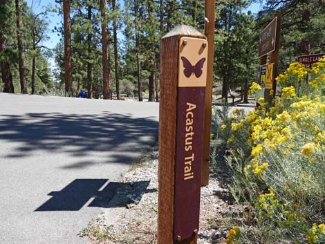
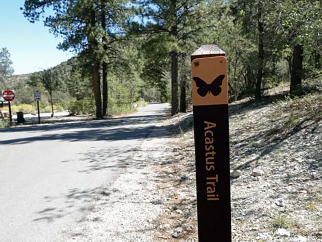
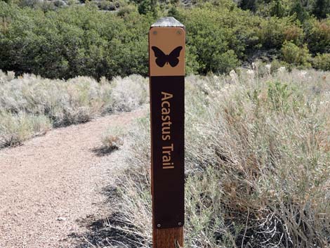
Link to trail map. The trail from Fletcher Canyon Trailhead to the far end of Kyle Campground, about 1/2-mile one-way, provides a paved, accessible trail for hikers with mobility issues. There are two benches between the trailhead and the campground, and there are plenty of places to sit and rest in the campground (although hikers might need to briefly make a new friend if the campsites are full). The best part of the trail, in my opinion, is the segment between Fletcher Canyon Trailhead and the abandoned golf course. Hiking only this segment makes a nice 2-1/4 mile in-and-out stroll in the woods. The name "Acastus" is for a rare orange butterfly species that lives in this area: Spring Mountains Acastus Checkerspot Butterfly (Chlosyne acastus robusta). |
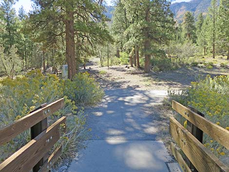
 Acastus Bridge (view SE past toilets; but not accessible this way) |
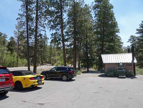
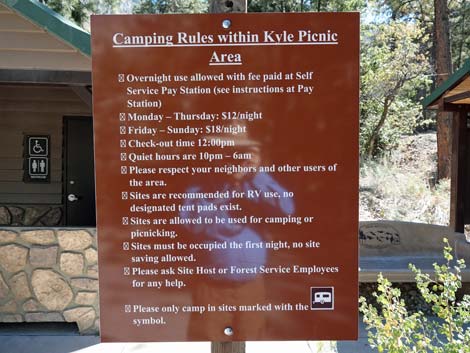
Watch Out Other than the standard warnings about hiking in the desert, ... this is a pretty safe hike. Hikers should pay attention to vehicles moving about the campground. Drinking water is available in the campground. While hiking, please respect the land and the other people out there, and try to Leave No Trace of your passage. Although this hike isn't too long, be sure to bring what you need of the 10 Essentials. Getting to the Trailhead The trailhead is located up in the Spring Mountains National Recreation Area (generally referred to as Mt. Charleston) in Kyle Canyon, about 35 minutes northwest of Las Vegas. From town, drive north on Highway 95. Exit onto Kyle Canyon Road and drive west 18.1 miles to the Fletcher Canyon Trailhead, on the left. The hike, as described here, ends at the Visitor Center Trailhead, which is on the left about 2 miles before Fletcher Canyon Trailhead. |
 Trail continues left of the restrooms (view E) |
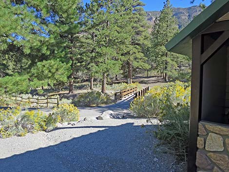
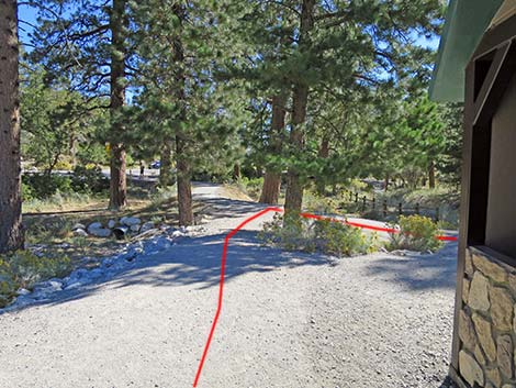
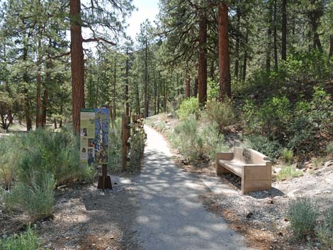
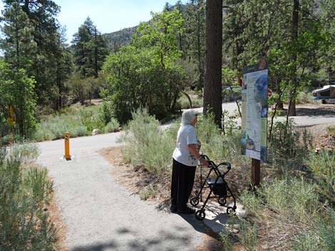
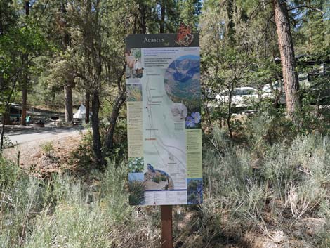
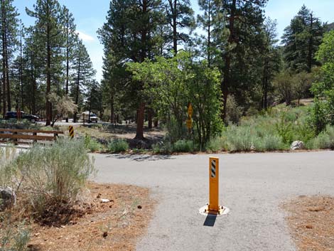
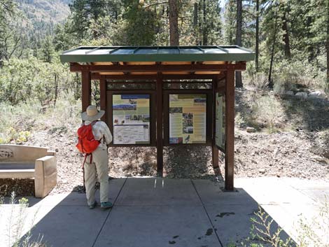
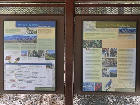
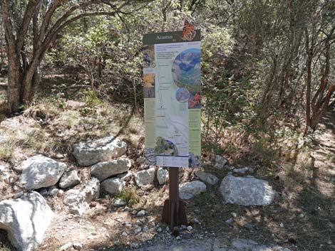
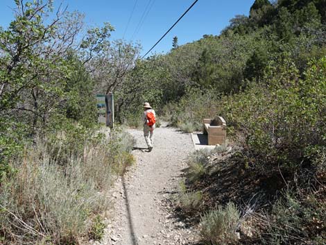
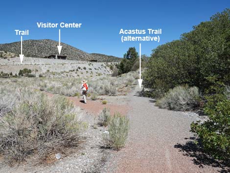
The Hike From Fletcher Canyon Trailhead (Table 1, Waypoint 01), the trail runs past the toilets bearing slightly left for a few yards to a junction with a paved trail. Unfortunately, the few yards between the parking lot and the trail junction are not paved, making this short section more difficult for hikers with mobility issues. At the trail junction, the Fletcher Canyon Trail stays left (straight) to cross Kyle Canyon Road, while the Acastus Trail turns right and runs south across a wooden bridge over Kyle Wash. A few yards beyond the bridge, the Acastus Trail encounters another trail junction (Wpt. 02). Here, the main Acastus Trail turns left towards an information sign, while an alternate segment of the Acastus Trail turns right and runs uphill about 0.22 miles to Fletcher View Campground. Staying left at the intersection (Wpt. 02), hikers quickly arrive at the first sign. This sign is a map of the Acastus Trail with information about the trail, presented in English and Spanish. A red marker shows, more or less, where hikers are located. |
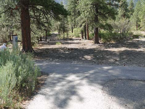
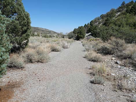
 T-intersection: Acastus Trail turns right onto pavement (view E) |
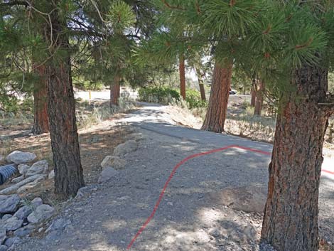
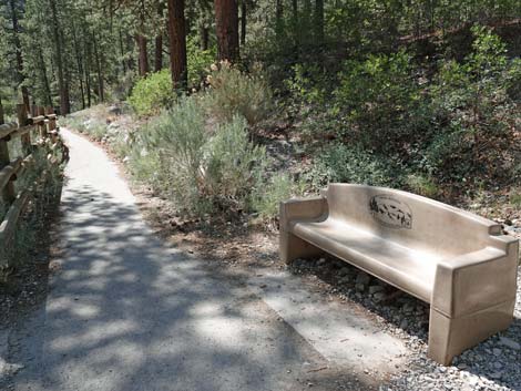
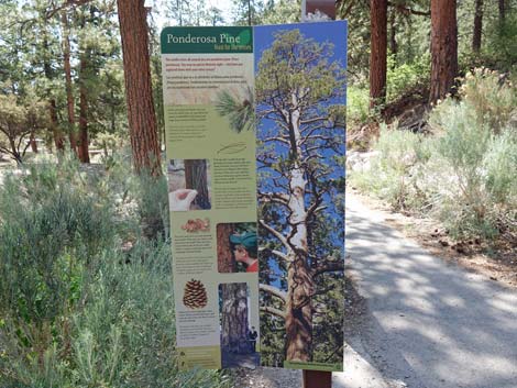
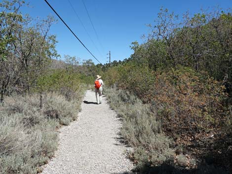
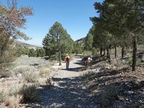
Continuing east, the paved trail follows Kyle Wash deeper into the forest. Shortly, the trail arrives at the first bench (Bench 1; Wpt. 03). This is a good place to stop, sit, gaze upon the towering Ponderosa Pine, and (while ignoring road sounds) listen to the birds and other flying creatures. During the spring snowmelt, hikers might be treated to the sounds of running water in the desert. A sign here provides information about Ponderosa Pine trees, again, in English and Spanish. Beyond the first bench, a rail fence keeps hikers from falling into the wash, but it also obstructs some of the view. The fence, however, is brief, and hikers are soon released from it. Soon, hikers arrive at the third sign, this one similar to the first sign (map, trail info, red marker). Just beyond the third sign, hikers encounter one of the Kyle Campground loop roads (Wpt. 04). For hikers wanting a very short hike (0.3 miles round-trip), this is a good place to turn around and return to Fletcher Canyon Trailhead (Wpt 01). Otherwise, the trail turns left onto the roadway. From here, and for the next 0.3 miles, the trail runs through the campground. It's not wilderness, but it remains a nice walk in the woods on an accessible trail. |
 Trail turns back towards the Acastus Bridge (view SW) |
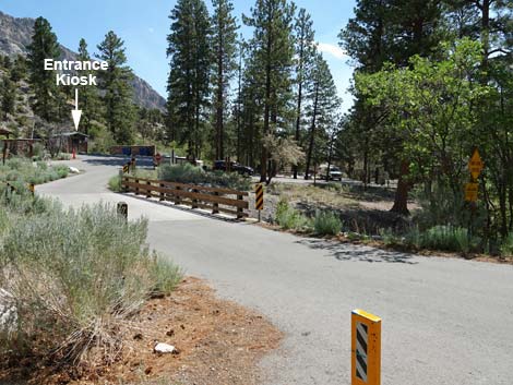
Upon entering the roadway (Wpt. 04), the trail turns left onto the pavement and crosses a second bridge over Kyle Wash to the north side. Beyond the bridge, hikers are facing the campground entrance kiosk, but the trail turns right (note a trail sign post) and continues down through the campground following the paved road. After passing a few campsites, the trail (road) crosses a third bridge over Kyle Wash to the south side. Just past the bridge, the road forks. Technically the trail stays left, but it doesn't matter. Staying left, the road passes restrooms, drinking water, trash cans, and a kiosk with information signs about the Spring Mountains. Continuing east, the trail stays left at an intersection (the previous loop road returning) and then at another intersection (turn-around loop). Again, either fork works. Staying left, the road passes a couple of more campsites and bends to the right. Here, at about 0.5 miles out, at the bottom of the campground, the Acastus Trail turns left onto the dirt (Wpt. 05) as the road bends back to the west. For hikers requiring an accessible trail, continue around the loop and start back towards the trailhead to make a 1.0-mile hike. |
 Acastus Trail crosses bridge over Kyle Wash (view S) |
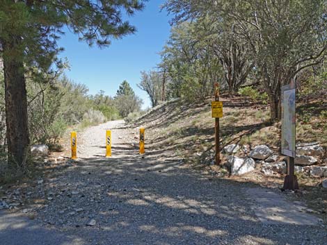
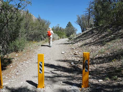
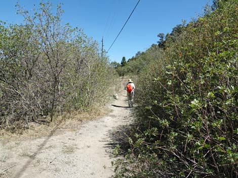
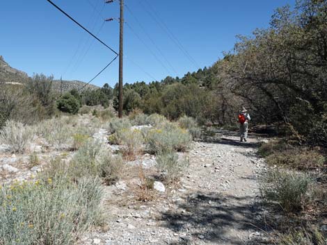
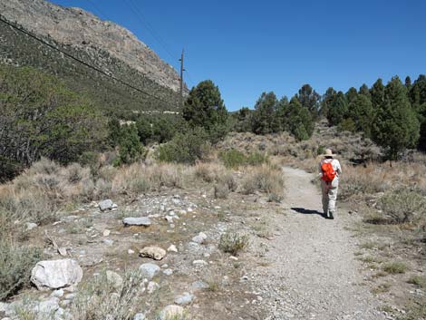
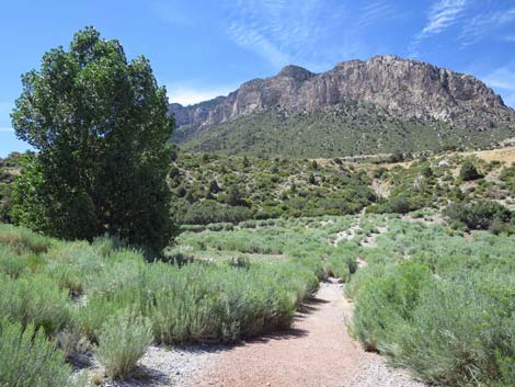
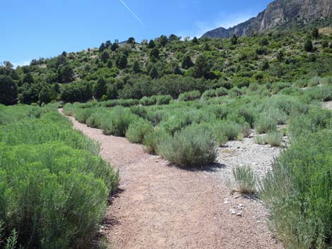
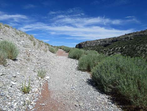
Here, at the bottom of the campground (Wpt. 05), hikers encounter another Acastus Trail information sign with a red marker showing where hikers are located. Starting east on the trail, hikers pass three vertical yellow posts that block vehicles from accessing the trail. From this point, the trail leaves the tall timber (Ponderosa Pine Zone) and enters the transition zone to the Lower elevation Pinyon-Juniper Woodland Zone. There are still some Ponderosa Pines in this area, but Singleleaf Pinyon Pine, Utah juniper, and Gamble Oak become much more common. This forest is more open, and the trees are shorter, providing longer views up and down the canyon. After a minute or two of hiking on the dirt trail, hikers arrive at a bench (Bench 2; Wpt. 06) with a double-sided information sign; this sets the pace for the next 15 minutes of hiking as hikers encounter seven benches. It will, of course, take longer than 15 minutes to traverse this section because hikers will want to stop, relax on the benches, and learn something from the signs. Note that on the post between the signs, a schematic of the trail shows where hikers are located. |
 Kyle Wash (view E, downstream) Kyle Wash (view E, downstream) |
Bench 2: Change Ahead (plant ecology) and Mountains in Motion (geology). (Wpt. 06) Bench 3: Exploring the Botanical Frontier (botanical exploration) and Solving Puzzles in Stone (geology). (Wpt. 07) Bench 4: Limestone -- Rocks of Life (Paleozoic life) and Desert Evergreens -- Trees of Life (pinyon and junipers). (Wpt. 08) Bench 5: Cliffs, Caves, and Overhangs (geology) and Nowhere Else on Earth (endemic plants and animals). (Wpt. 09) Bench 6: A Fault Shifts and a Cliff Emerges (geology) and Connections -- animals need plants ... plants need animals (ecology). (Wpt. 10) Bench 7: Some Like it Hot and Dry (plant ecology) and Rock -- Made of Stone (geology). (Wpt. 11) Bench 8: 30 Miles from Las Vegas to Canada? (life zone ecology) and It's a Wash (hydrology). (Wpt. 12) |
 Kyle Wash (view W, upstream) |
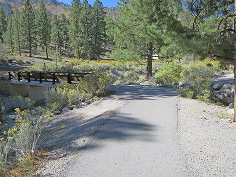
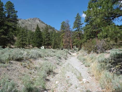
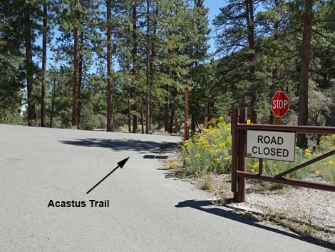
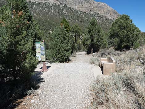
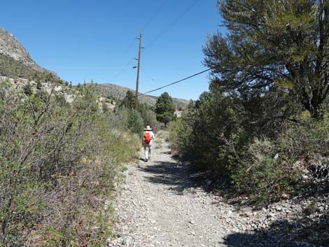
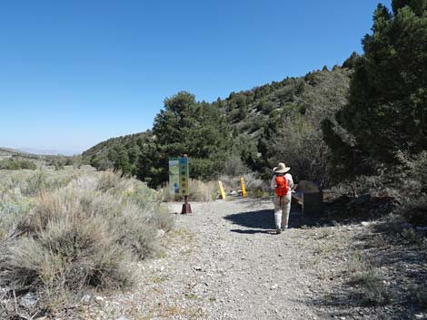
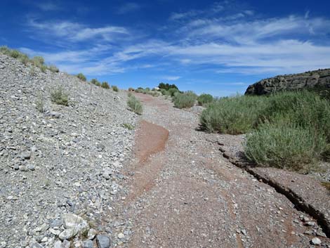
Hikers might consider stopping here (Bench 8; Wpt. 12)) and returning to the Fletcher Canyon Trailhead, as this ends (in my opinion) the best part of the hike. Turning back here makes for a 2.2-mile hike. Beyond Bench #8, the trail passes three vertical yellow posts that block vehicles from accessing the trail and enters the abandoned golf course (Wpt. 13) where the scenery changes greatly. Instead of hiking through an open forest, hikers now follow a paved golf-cart road along the edge of the abandoned fairway. The trail mostly follows the edge of the forest with views out across the fairway, which is growing back as a sagebrush flat. The view is backed by the resort lodge, some condo buildings, and the Visitor Center buildings that sit on a bench above the canyon. A few planted Cottonwood Trees provide a bit of shade, but most have died, presumably from lack of irrigation water. Most of the old golf-cart road is paved, and washed-out sections are filled with red gravel. The walking is easy, but this section of trail is not available to hikers needing accessible surfaces. |
 Trail continues past the Acastus Bridge to T-intersection (view S) |
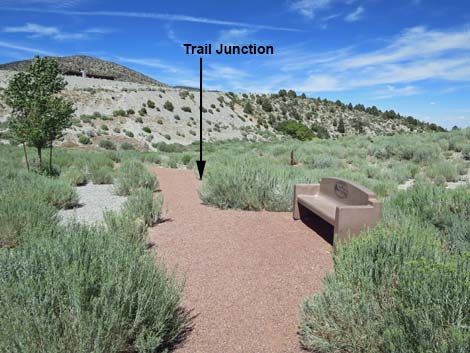
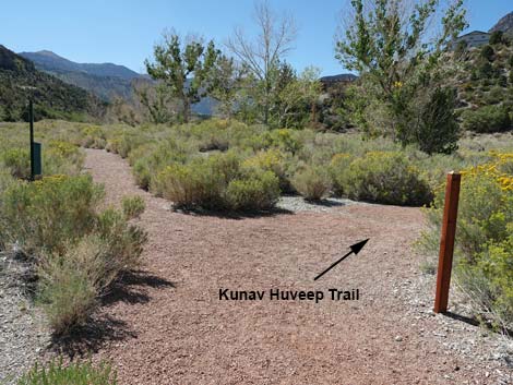
After about 0.4 miles on the old golf-cart road, when hikers are down-canyon from the lodge-condo buildings but up-canyon from the Visitor Center, hikers encounter an unmarked trail junction (Wpt. 14) where a red gravel trail departs the paved trail to the left. This point marks entry into an area with a maze of looping, interconnected trails. From this point (Wpt. 14) looking north, a trail can be seen cutting up and across the canyon wall towards the Visitor Center buildings. The next goal is to get to the base of that trail. At the intersection (Wpt. 14), hikers can continue straight or turn left. Turning left onto the gravel, hikers shortly encounter an intersection (Wpt. 15) with the Kunav Huveep Trail, this time with an Acastus Trail sign post. This is the official end of the Acastus Trail. This is another loop, so hikers can turn either direction. Staying to the right onto the Kunav Huveep Trail, hikers quickly encounter another bench (Wpt. 16), and in a few yards, yet another (Wpt. 17). For hikers wanting to rest before climbing the hill to the Visitor Center, this is the last bench. |
 Acastus Trail at a T-intersection (view S) |
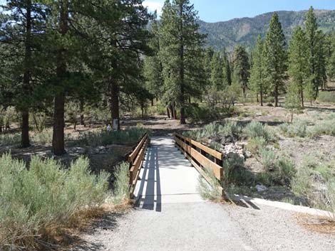
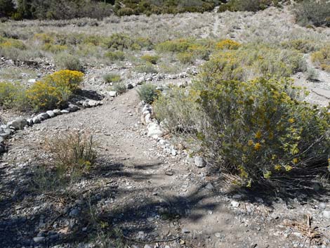
Just past this second bench, hikers stay left at a trail junction (Pack Rat Trail) as the Kunav Huveep Trail loops to the left. Approaching a larger group of planted Cottonwood Trees (and one remaining planted Spruce Tree), hikers arrive at another trail junction, this time closing the Kunav Huveep Trail loop. When departing the paved trail (Wpt. 14), hikers could have come down the other side of the loop to arrive at this point too. Turning right, the trail crosses Kyle Wash without a bridge this time. Often this part of the trail is washed out. Continuing across the wash, the trail bends to the left and runs back to the west. Arriving at the very last trail junction (Wpt. 18), hikers turn right onto the paved trail and start climbing the hillside towards the Visitor Center. The pavement soon ends, and hikers continue the rest of the way on a gravel trail. |
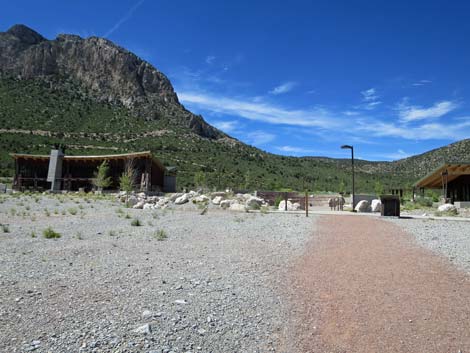
 Looking right towards Fletcher View Campground (view W) |
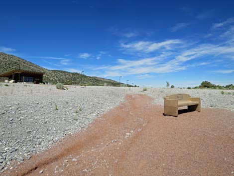
After having hiked on gentle grades for almost 2 miles, climbing the hill to the Visitor Center seems steep. In reality, however, it is not particularly steep, and hikers soon arrive at the top of the canyon wall where the final bench awaits (Wpt. 19). It is worth stopping and sitting for a moment to catch your breath while gazing back across the grand scenery which one has just traversed. Now out of the canyon, the trail continues towards the visitor center, angling to the right of the main building into the Visitor Center Trailhead parking area (Wpt. 20). At this point, hikers might just turn around and hike back to Fletcher Canyon Trailhead. |
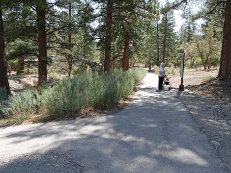 Main Acastus Trail turns left towards information sign (view E) |
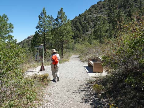
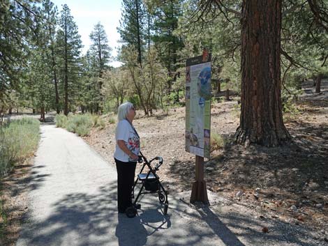 Hiker at first sign: Acastus Trail information (view E) |
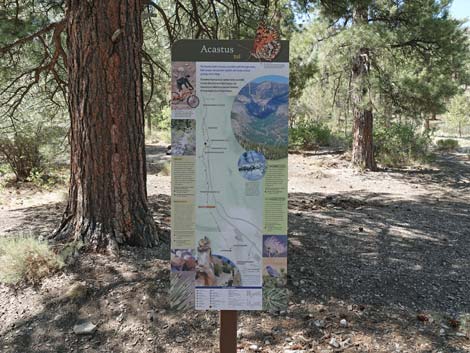 Acastus Trail map and information about the trail (view S) |
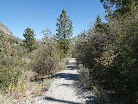
 Acastus Trail continues into the piney woods (view E) |
 Acastus Trail approaching bench #1 (view SE) |
 Bench #1 (view SE) |
 Sign at Bench #1: Ponderosa Pine (view E) |
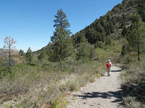
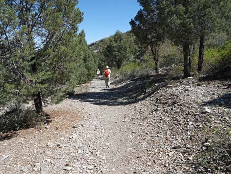
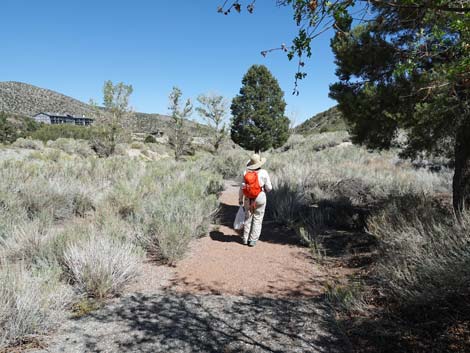
 Hiker on Acastus Trail (view SE) |
 Second trail information sign (view E) |
 Acastus Trail map and information about the trail (view S) |
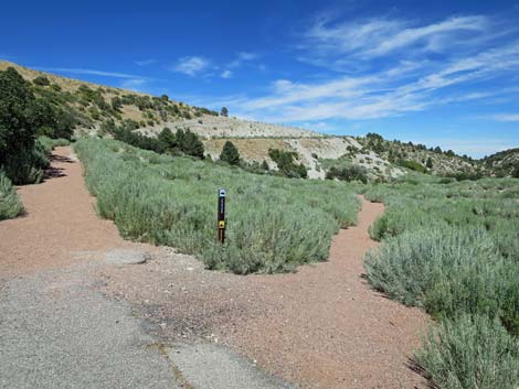
 Yellow post keeps vehicles off the trail (view E) |
 Acastus Trail enters Kyle Campground and crosses bridge (view N) |
 Past the bridge, the trail stays right into campground (view NE) |
 Acastus Trail sign (view E) |
 Acastus Trail follows Kyle Campground Road (view E) |
 Kyle Campground Road crosses another bridge (view E) |
 Approaching Kyle Campground restrooms (view E) |
 Information kiosk before restrooms (view S) |
 Information signs about the area (view S) |
 Campground regulation sign by the restrooms (view S) |
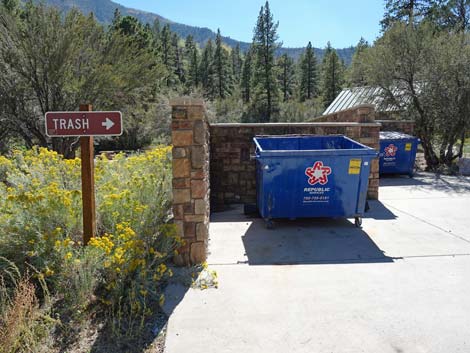 Trash cans just past the restrooms (view SW) |
 Acastus Trail follows Kyle Campground Road; stay left (view E) |
 Another Acastus Trail sign (view E) |
 Road loops around the bottom of the campground (view E) |
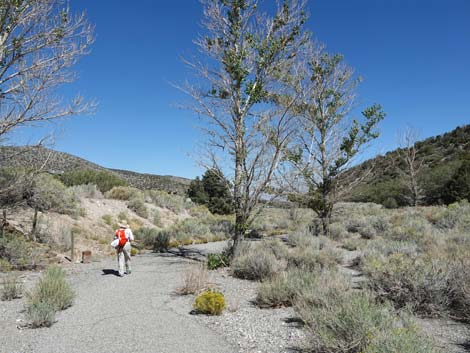
 Hiker approaching where Acastus Trail departs campground (view S) |
 Arriving at Acastus Trail exit from Kyle Campground (view SE) |
 Acastus Trail exits Kyle Campground (view E) |
 Another trail map with information about the trail (view S) |
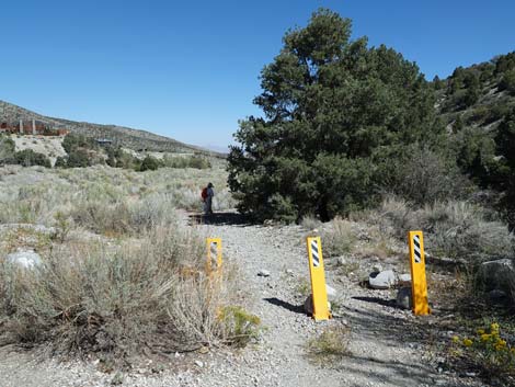
 Acastus Trail passes vehicle barriers (view E) |
 Acastus Trail runs out into more open woodland (view E) |
 Hiker arriving at Bench #2 (view SE) |
 Acastus Trail passes a few Ponderosa Pine (view E) |
 Lots of shrubs and a few trees along the trail (view E) |
 Bench #3 (view NE) |
 Part of Acastus Trail follows a telephone corridor (view E) |
 Hiker arriving at Bench #4 (view NE) |
 Sagebrush starts showing up along the trail (view E) |
 Bench #5 (view NE) |
 Acastus Trail and telephone corridor bend left (view E) |
 Hiker on Acastus Trail (view NE) |
 Bench #6 (view N) |
 Acastus Trail passes through stand of young Ponderosa (view N) Acastus Trail passes through stand of young Ponderosa (view N) |
 Trees shade the trail (view NE) |
 Acastus Trail bends right to exit telephone corridor (view NE) |
 Hiker arriving at Bench #7 (view E) |
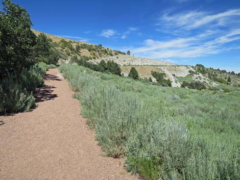
 Acastus Trail (view E) |
 Hiker arriving at Bench #8 (view E) |
 Three barricades mark entry to old golf course (view E) |
 Hiker at the top of a long fairway (view E towards Lodge) |
 Acastus Trail returns to pavement (view E) |
 Acastus Trail runs along base of hillside (view E) |
 Sections with missing asphalt have red gravel (view E) |
 Hiker passing tall trees (view E) |
 Hiker passing not-too-happy cottonwood trees (view E) |
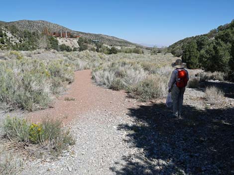
 Acastus Trail with sagebrush fairway (view E) |
 Acastus Trail (view E towards Visitor Center) |
 Acastus Trail continues along base of hillside (view E) |
 Hiker turning left at fork towards Kunav Huveep Trail (view E) |
 Acastus Trail ends at Kunav Huveep Trail (view N) |
 Official end of Acastus Trail: looking back at the last sign (view S) |
 First bench on Kunav Huveep Trail (view NE) |
 Second bench on Kunav Huveep Trail (view NE) |
 Past second bench, trail stays left towards trail junction (view W) |
 Kunav Huveep Trail stays right towards Kyle Wash (view NW) |
 Kunav Huveep Trail crosses Kyle Wash without a bridge (view NW) |
 Kunav Huveep Trail continues across the canyon (view NW) |
 Kunav Huveep Trail approaching a T-intersection (view W) |
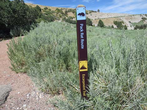 Sign post for Pack Rat and Escarpment trails at junction (view N) |
 Trail junction: trail bends right to climb across hillside (view NW) |
 Kunav Huveep Trail climbs out of the canyon bottom (view NE) |
 Not really steep, but it feels like it (view NE) |
 Flood debris on the Kunav Huveep Trail (view E) |
 Trail approaching the crest of the hillside (view NE) |
 Kunav Huveep Trail arriving at bench atop the hill (view NE) |
 From the bench, the Visitor Center is visible (view N) |
 Trail ends right of the Visitor Center building at the parking area |
Table 1. Hiking Coordinates Based on GPS Data (NAD27; UTM Zone 11S). Download Hiking GPS Waypoints (*.gpx) file.
| Wpt. | Location | UTM Easting | UTM Northing | Elevation (ft) | Point-to-Point Distance (mi) | Cumulative Distance (mi) |
|---|---|---|---|---|---|---|
| 01 | Fletcher Trailhead | 624745 | 4013839 | 6,957 | 0.00 | 0.00 |
| 02 | Trail Junction | 624770 | 4013811 | 6,952 | 0.04 | 0.04 |
| 03 | Bench 1 | 624837 | 4013801 | 6,939 | 0.04 | 0.08 |
| 04 | Kyle Campground (west end) | 624954 | 4013759 | 6,921 | 0.08 | 0.16 |
| 05 | Kyle Campground (east end) | 625416 | 4013842 | 6,845 | 0.34 | 0.50 |
| 06 | Bench 2 | 625511 | 4013878 | 6,832 | 0.06 | 0.56 |
| 07 | Bench 3 | 625634 | 4013910 | 6,800 | 0.09 | 0.65 |
| 08 | Bench 4 | 625780 | 4013979 | 6,778 | 0.10 | 0.75 |
| 09 | Bench 5 | 625864 | 4014021 | 6,765 | 0.06 | 0.81 |
| 10 | Bench 6 | 625943 | 4014125 | 6,755 | 0.09 | 0.90 |
| 11 | Bench 7 | 626067 | 4014263 | 6,718 | 0.13 | 1.03 |
| 12 | Bench 8 | 626155 | 4014261 | 6,696 | 0.05 | 1.08 |
| 13 | Start of Paved Trail | 626194 | 4014274 | 6,685 | 0.03 | 1.11 |
| 14 | Trail Junction | 626733 | 4014437 | 6,593 | 0.38 | 1.49 |
| 15 | Kunav Huveep Trail Junction | 626731 | 4014467 | 6,589 | 0.02 | 1.51 |
| 16 | Bench 9 | 626737 | 4014473 | 6,600 | 0.01 | 1.52 |
| 17 | Bench 10 | 626780 | 4014510 | 6,595 | 0.03 | 1.55 |
| 18 | Trail Junction | 626682 | 4014566 | 6,445 | 0.13 | 1.68 |
| 19 | Bench 11 | 626893 | 4014625 | 6,467 | 0.15 | 1.83 |
| 20 | Visitor Center Parking | 626923 | 4014757 | 6,439 | 0.12 | 1.95 |
| 01 | Fletcher Trailhead | 624745 | 4013839 | 6,957 | 1.95 | 3.90 |
Happy Hiking! All distances, elevations, and other facts are approximate.
![]() ; Last updated 240329
; Last updated 240329
| Hiking Around Mt Charleston | Hiking Around Las Vegas | Glossary | Copyright, Conditions, Disclaimer | Home |