Hiking Around Las Vegas, Spring Mountains (Mt. Charleston)
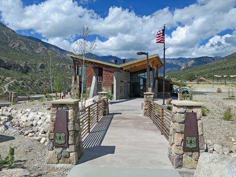
 Spring Mountains Visitor Center walkway entrance (view SW) |
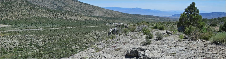
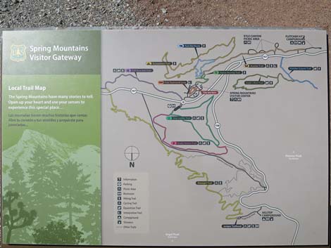
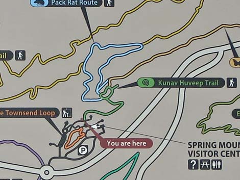
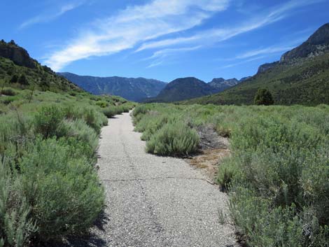
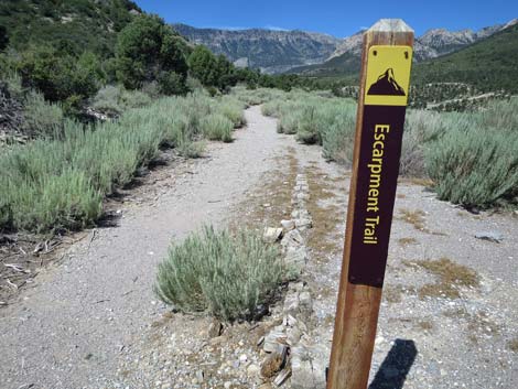
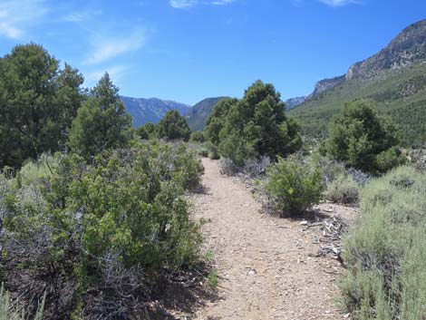
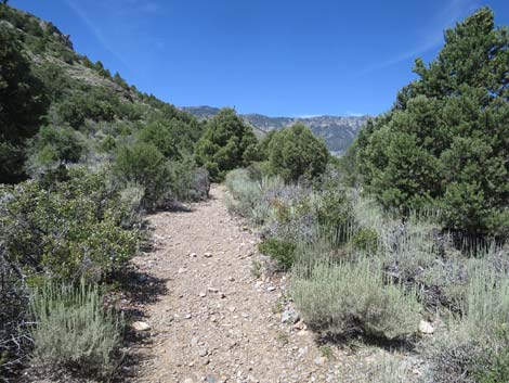
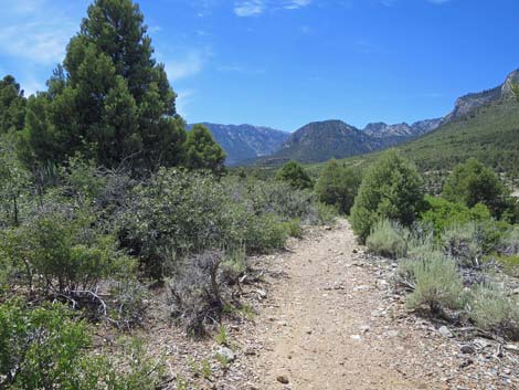
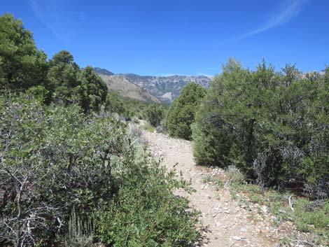
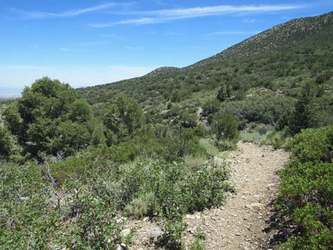
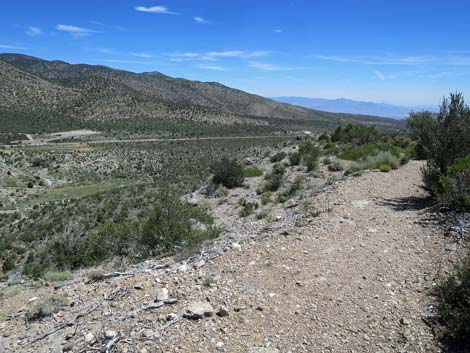
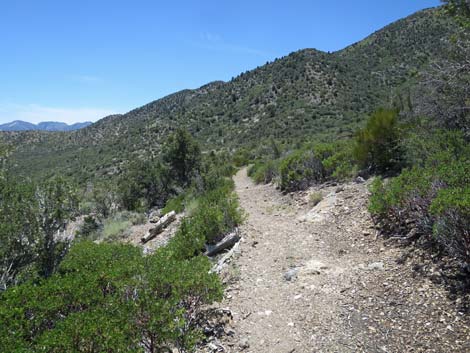
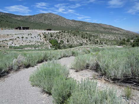
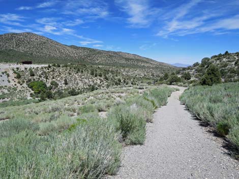
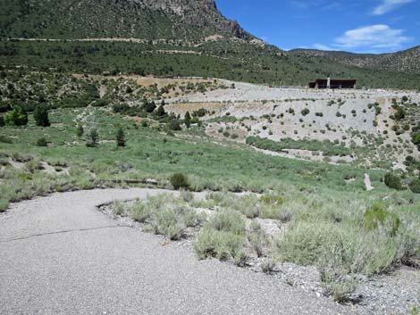
Overview The Escarpment Trail is a loop trail (3.6 miles total) behind the Spring Mountains (Mount Charleston) Visitor Center. The trail descends gradually into Kyle Canyon Wash, goes out across the bottom of the wash, climbs steeply to run above the band of cliffs visible across the canyon, drops steadily, and returns to the visitor center. The area is quite scenic with grand views up and down the canyon. A little bit of shade and benches conveniently placed to encourage visitors to stop, sit and smell the roses, and listen to the birds and the breeze rippling across the landscape. This trail has challenging grades on both ends of the traverse above the cliffs, but the views up and down the canyon are well worth the effort made to get there. The diverse vegetation in this transition zone between the desert and the mountains adds interest to the hike. For hikers preferring to hike the loop in the other direction, see Escarpment Loop Trail (clockwise). Link to map. |
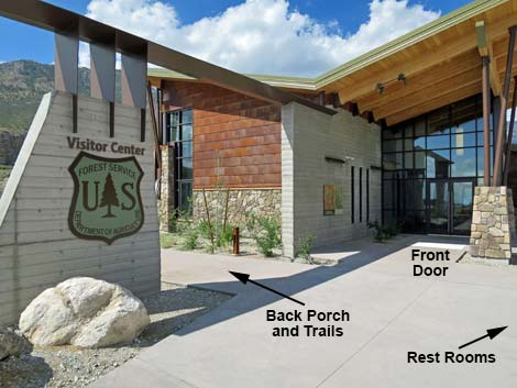
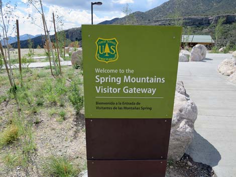 Entrance sign (view S) |
Watch Out Other than the standard warnings about hiking in the desert, ... this is a fairly safe hike without unusual hazards. However, the old-road trail on the hillside below the Visitor Center is washing away, so hikers need to be careful going around the bad spots. The trail is totally washed away in the wash bottom, but the rocky bypass is easy. Parts of the paved trail on the far hillsides are extremely steep and might cause problems for people with arthritic knees. Also, for those of us living at lower elevations, take it easy if you've just come up from the lowlands. While hiking, please respect the land and the other people out there, and try to Leave No Trace of your passage. Also, this hike isn't too long, so just bring what you need of the 10 Essentials. |
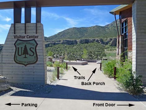
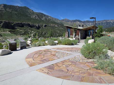 Walkway to the Visitor Center (view W) |
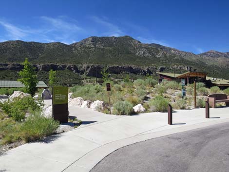
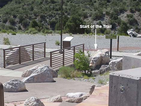
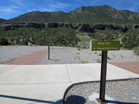
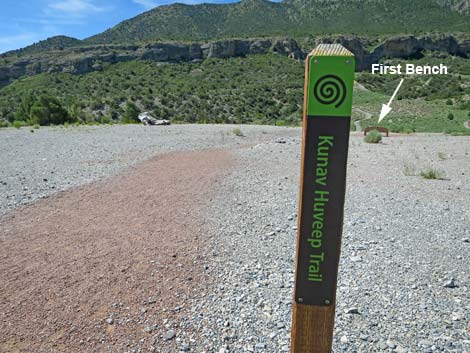
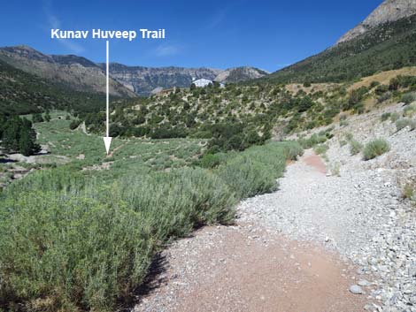
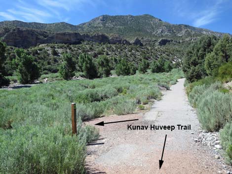
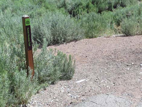
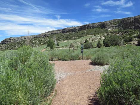
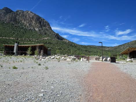
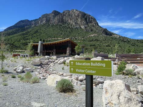
Getting to the Spring Mountains Visitor Center The Visitor Center is located in Kyle Canyon up in the Spring Mountains National Recreation Area, about 45 minutes northwest of Las Vegas. From downtown, drive north on Highway 95 for 17.0 miles towards Reno. Just beyond the edge of urban Las Vegas, turn left onto Highway 157 (Kyle Canyon Road) towards Kyle Canyon. Drive west on Kyle Canyon Road and head up the hill for 16.3 miles to a "round-about." Drive 3/4ths of the way around the loop and exit right under the ranch gate, which leads into the large visitor center parking lot. Continue towards the taller building ahead in the distance and find a convenient place to park. From the parking lot, walk to the Visitor Center building, but turn left under the arch just before the front door. Walk down into the amphitheater and out through the bottom. The trailhead sign for the Kunav Huveep Trail is just ahead. The Pack Rat Trail begins by following the Kunav Huveep Trail (Kunav Huveep is Paiute for Kyle Canyon). |
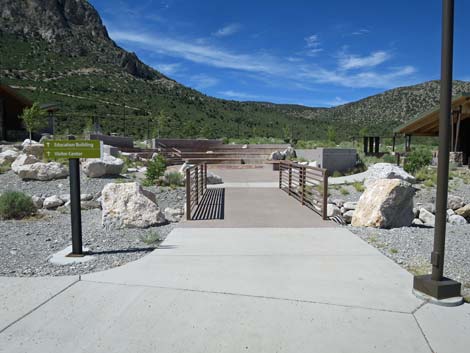
 Bridge to the Visitor Center (view W) |
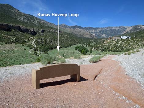
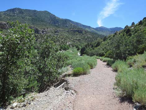
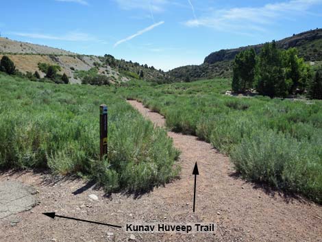
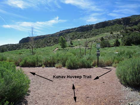
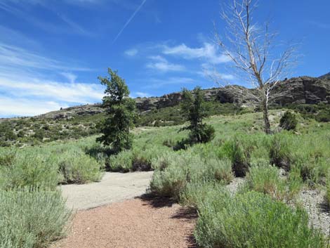
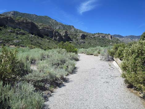
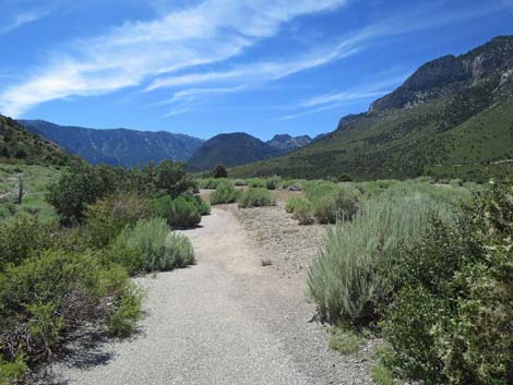
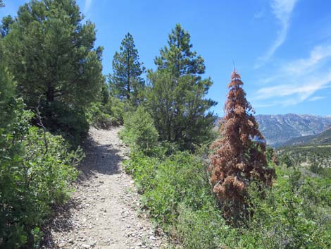
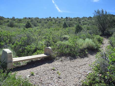
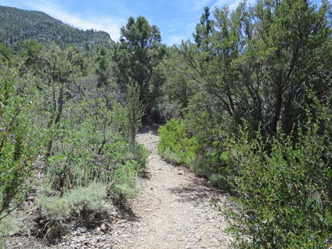
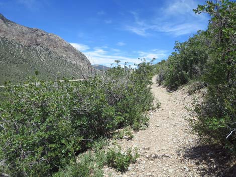
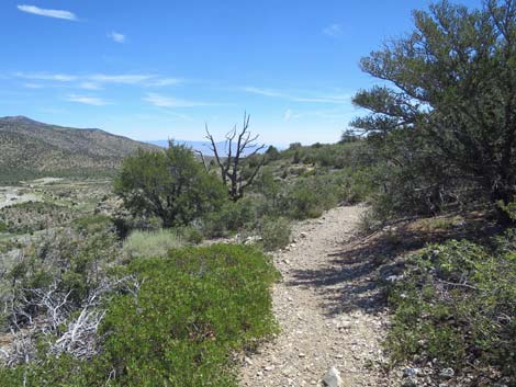
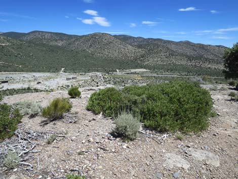
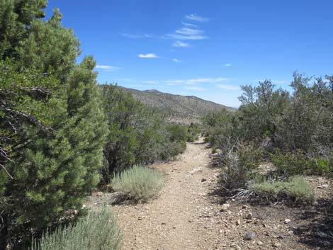
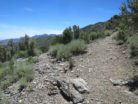
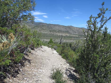
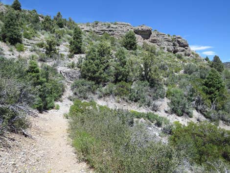
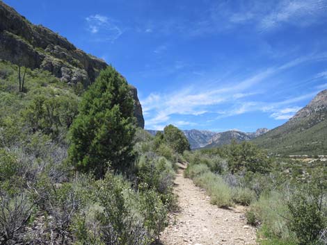
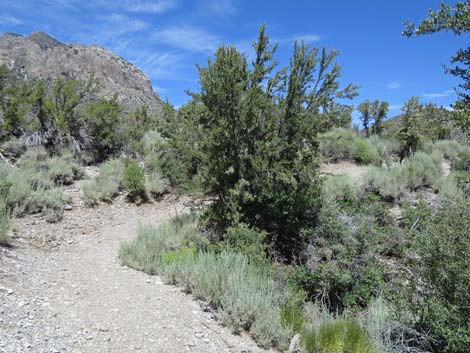
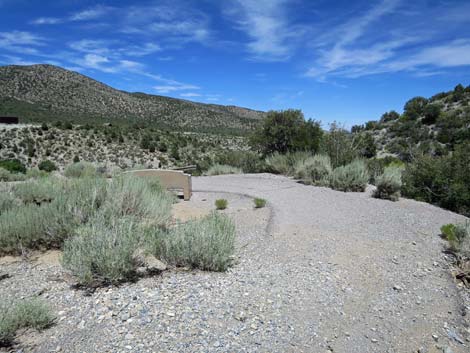
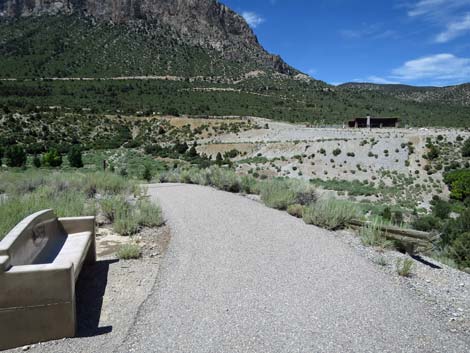
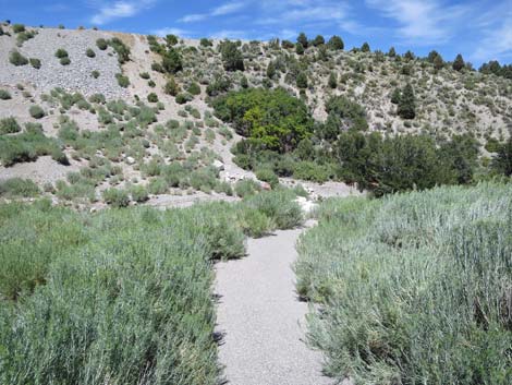
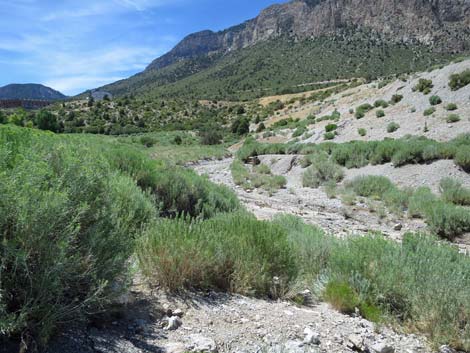
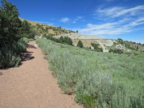
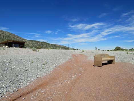
The Hike From the Kunav Huveep trailhead sign-post on the south side of the amphitheater (Table 1, Waypoint 01), the trail departs the cement walkway and heads south on a red-gravel trail towards the edge of the deep canyon ahead, which is Kyle Canyon. A bench (Wpt. 02) at the edge of Kyle Canyon provides a nice place to stop, look over the area, and study the route ahead. From the bench (Wpt. 02), the trail bends right and begins to descend westward into the canyon. While the immediate surroundings are post-industrial, the views into the canyon and off to the mountains are grand. A bit farther down the trail, hikers pass through a nice mix of desert and mountain plant species. From the desert are species such as Banana Yucca and Tulip Pricklypear, and from the mountains come Gambel Oak, Rubber Rabbitbrush, and Singleleaf Pinyon Pine. In the wash below, hikers can see a nice stand of Fremont Cottonwood Trees where taproots reach deep for sub-surface water. |
 Approaching the Visitor Center front doors (view SW) |
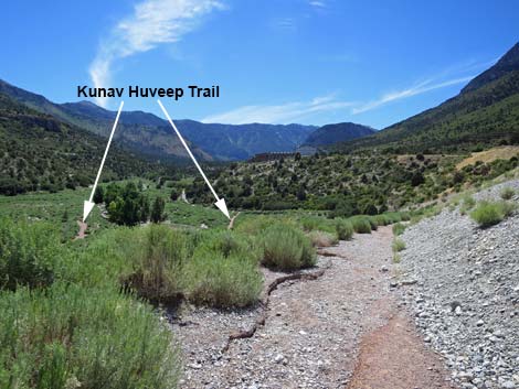
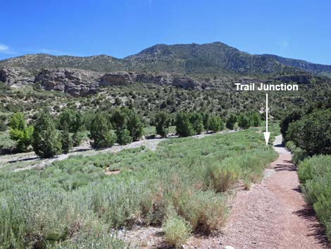
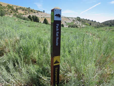
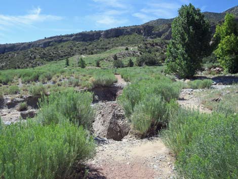
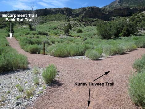
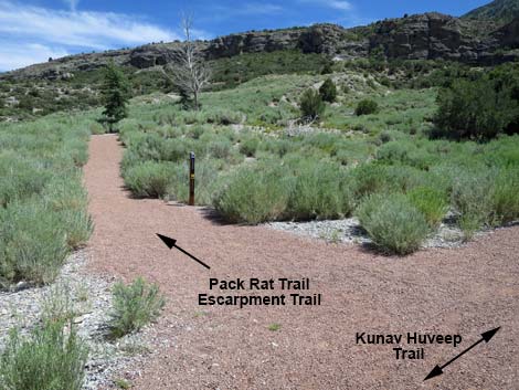
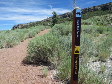
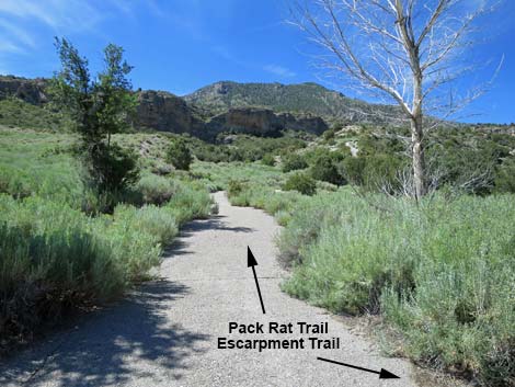
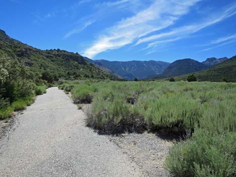
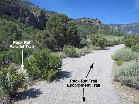
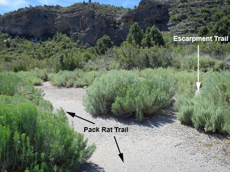
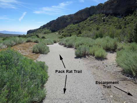
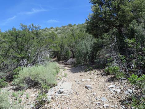
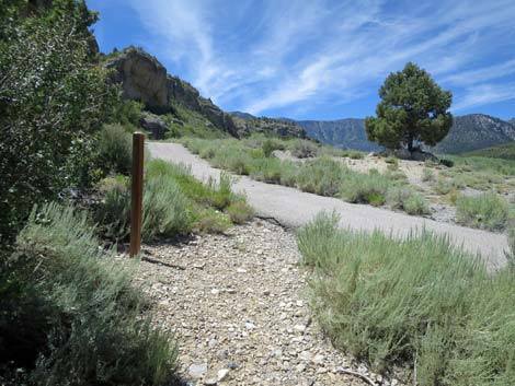
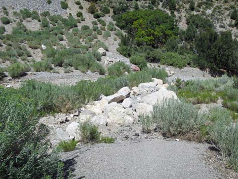
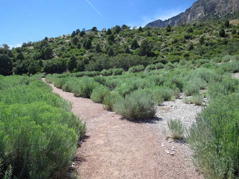
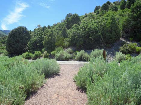
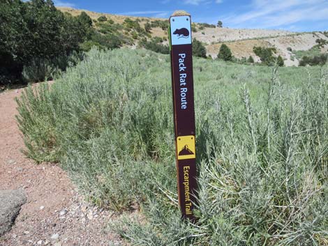
As the Kunav Huveep Trail descends off the hillside, it arrives at a trail junction (Wpt. 03) with a trail marker post. Also at this point, the red-gravel trail becomes paved. Here, the Pack Rat Trail, along with the Kunav Huveep Trail and the Escarpment Trail, takes a hard left to stay on the red-gravel trail. The trail runs east across Rubber Rabbitbrush-covered hillsides above the wash bottom. The trail bends right and arrives at Kyle Canyon Wash where the trail can be completely washed out, but hikers can cross the wash anyways. Across the wash and back on the red-gravel trail, hikers quickly encounter a T-intersection (Wpt. 05) with a sign and a pet-waste-bag dispenser. This is the beginning of the Kunav Huveep Trail loop. The Pack Rat Trail stays to the left. The trail begins by heading northeast, but quickly bends right to the south and arrives at yet another trail junction (Wpt. 06). Here, at a trail marker post, the Pack Rat Trail and the Escarpment Trail turn left to head up the hillside where they quickly encounter the end of a paved trail (Wpt. 08). |
 Walkway to the trails and back porch (view S) |
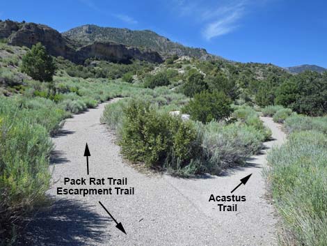
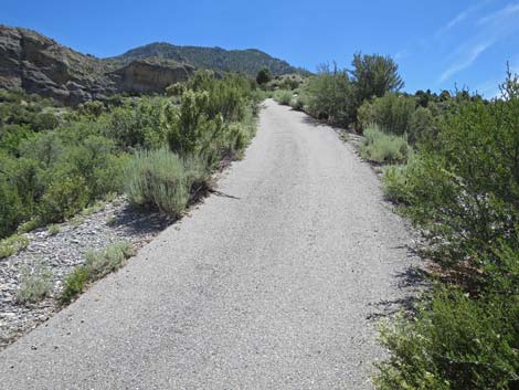
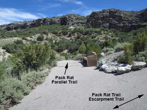
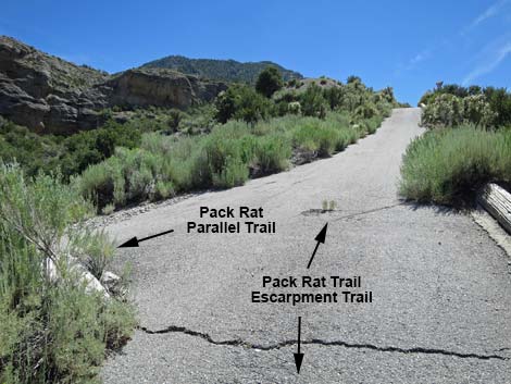
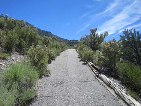
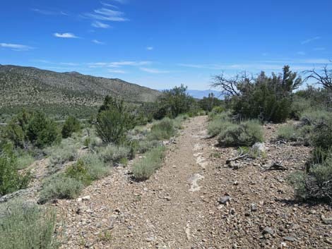
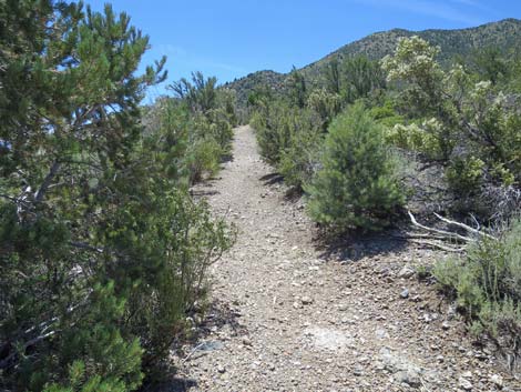
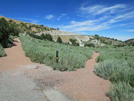
On the pavement (Wpt. 08), the Pack Rat Trail begins a gentle climb southward towards the Escarpment Cliffs. Shortly, the paved trail forks (Wpt. 09). Here, the Acastus Trail goes right and runs up Kyle Canyon, while the Pack Rat Trail continues straight and begins to climb more steeply. By the time hikers get winded on the steep trail, the trail forks again (Wpt. 10), and a bench to the left invites hikers to stop and sit a few minutes. The trail left is an alternate to the Pack Rat Trail that parallels the main trail for about 250 yards. Either way is fine: but while the alternate runs in a gully, the main trail has big views. Continuing up the main trail only a few steps, hikers find that this intersection is actually a triangular intersection. The main Pack Rat Trail continues quite steeply until reaching open flats on the crest of the ridge. Starting west across these flats, hikers soon pass the other end of the Pack Rat Parallel Trail (Wpt. 11). |
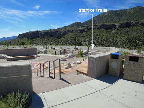 Overlooking the outdoor amphitheater (view SE) |
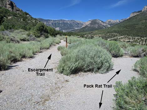
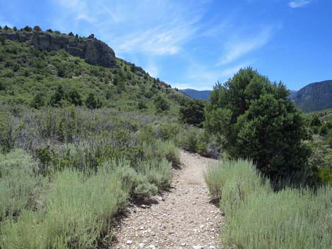
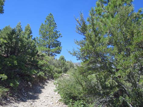
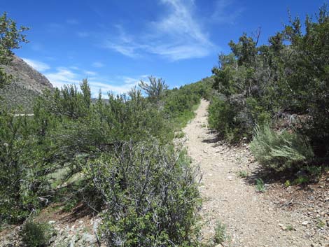
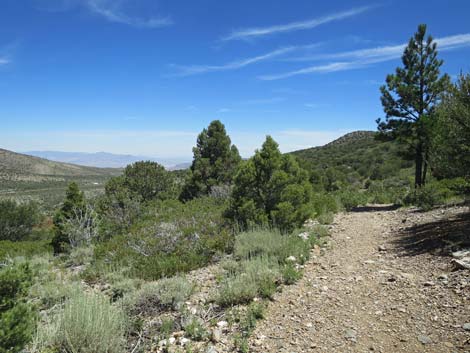
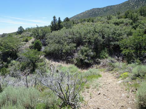
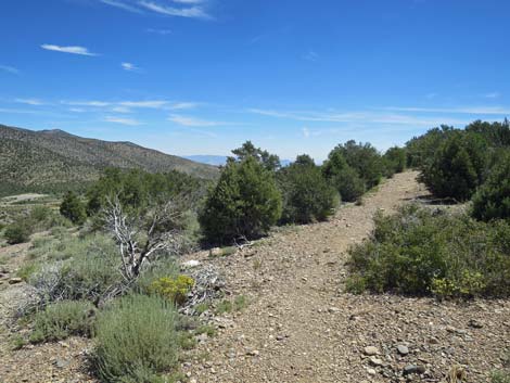
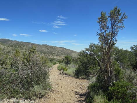
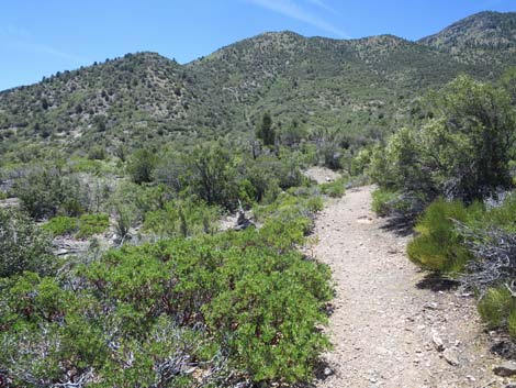
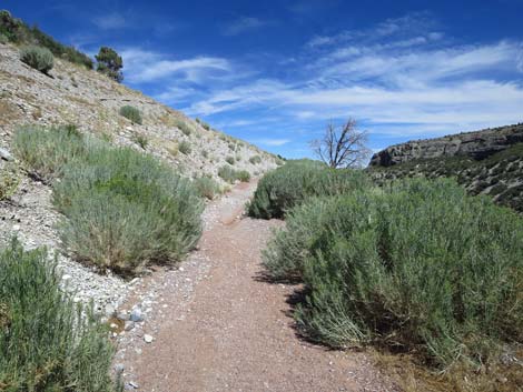
Continuing westward on gentle flats covered with Big Sagebrush mixed with a few Stansbury Cliffrose and Curl-leaf Mountain Mahogany, the trail winds a bit then makes a 180-degree bend to the left. At the top of the bend, the west end of the Escarpment Trail (Wpt. 12) cuts hard to the right and continues westward and eventually climb to the top of the Escarpment Cliffs. The Pack Rat Trail, however, turns east across gentle grades. In this flattish, open area, the Escarpment Trail runs west across the sagebrush flats and disappears into the trees and tall shrubs. Initially the trail runs at gentle grades across this hillside, but before long the trail bends a bit to the south and begins to climb the hillside. Interestingly, the trails passes a 12-ft tall White Fir tree, which unfortunately died in 2019, but this is an extremely low elevation for this species. White Firs are usually found on high mountain slopes. After two decades or so, this tree finally succumbed to unfavorable growing condition at this site. Just past the Fir, there are two 20-ft Ponderosa Pines, which while at a relatively low elevation for this species, are at the lower edge of the tolerance range for this species. |
 Exit from the outdoor amphitheater (view SE) |
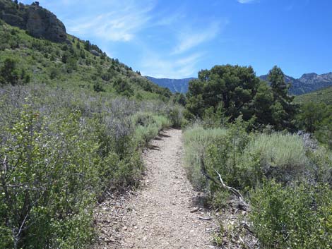
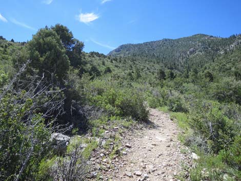
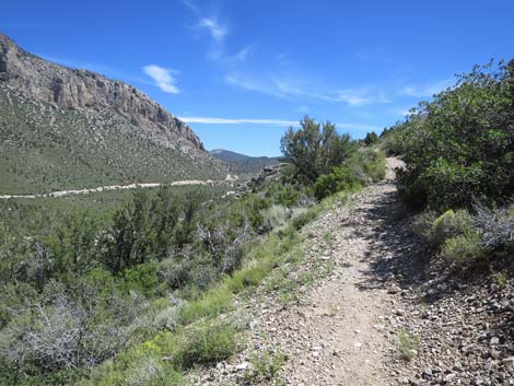
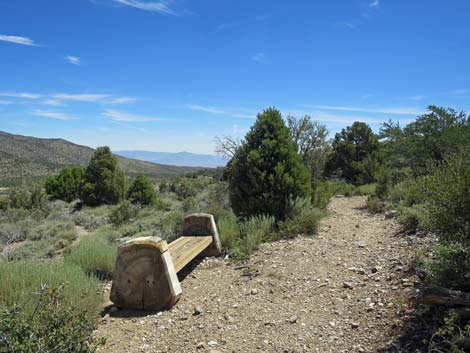
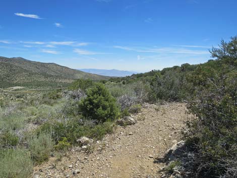
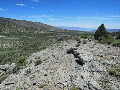
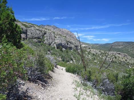
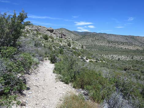
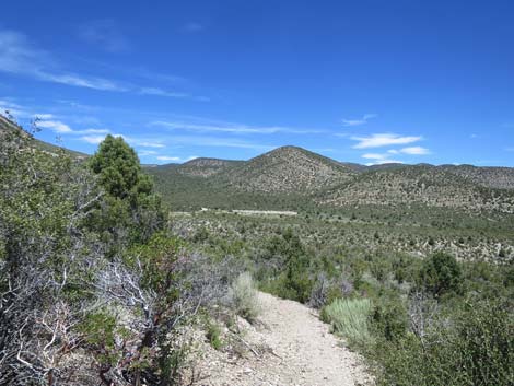
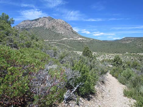
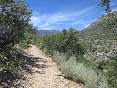
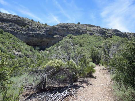
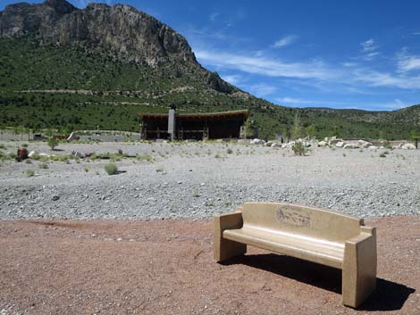
Climbing rather steeply on shrub-covered slopes, the trail arrives at a strategically placed bench where hikers can sit and catch their breath. While only about 7,000-ft elevation, the air here is thin for hikers living at lower elevations. The trail continues steeply as it winds past Ponderosa Pines, through tunnels of Mountain Mahogany, and bends more to the left. Breaking out of tall shrub thickets, the trail loops back to head northeast and climbs at a moderate grade up and across the high, open slope. Views across the top of the Escarpment Cliffs are soon followed by the sight of the West Bench (Wpt. 20). The West Bench provides a place to rest and enjoy grand views west towards Charleston Peak at the head of Kyle Canyon. Only a few yards past the West Bench, the trail reaches the top of the Escarpment Cliffs, and in another 20 yards or so, hikers arrive at the high-point on the trail. Here, another Ponderosa provides a bit of shade, and hikers can gaze east along the Escarpment Cliffs. For reference, the trail runs all the way to the end of the cliffs. |
 Sign: Hiking Trails straight ahead (view S) |
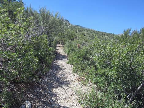
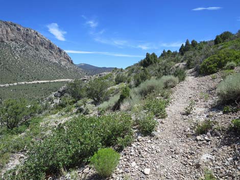
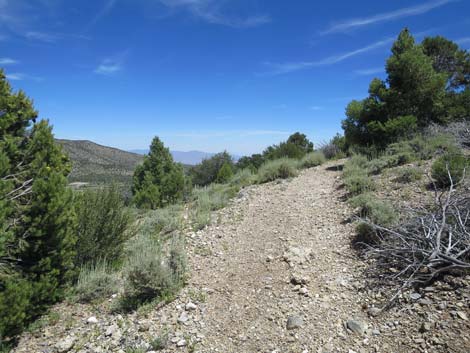
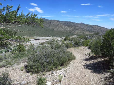
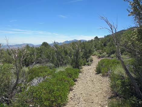
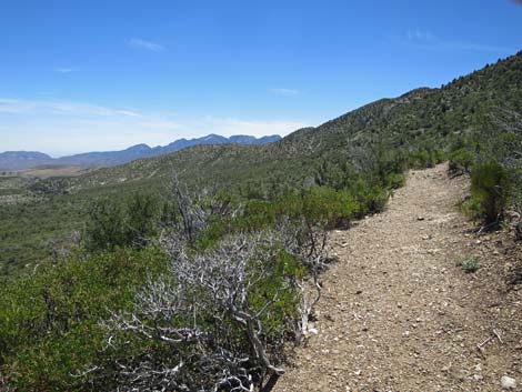
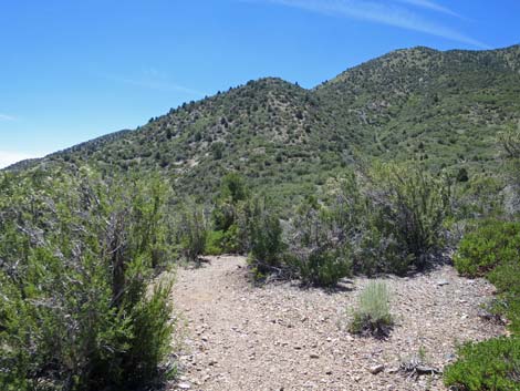
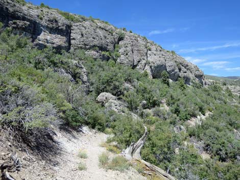
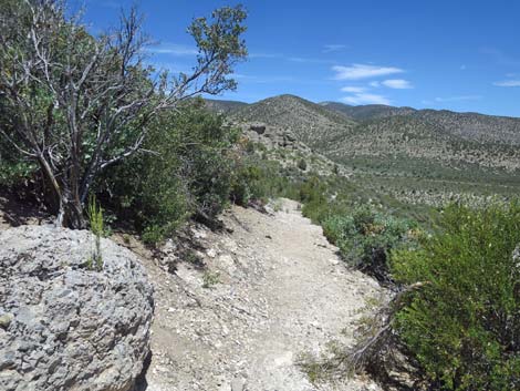
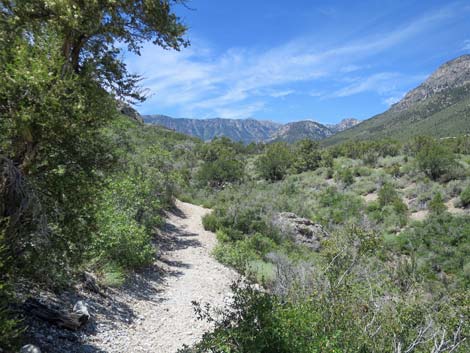
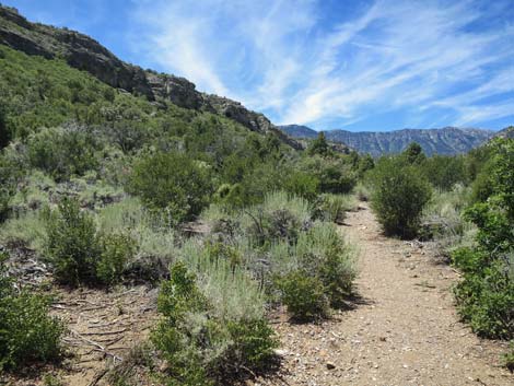
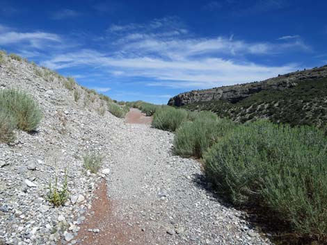
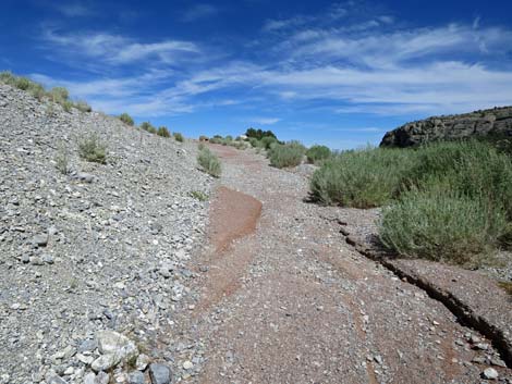
Descending from the high-point, the trail generally runs downhill at gentle grades as it winds in and out of every gully while staying more-or-less on the contour trending closer and farther from the edge of the cliffs. There is little shade (no more Ponderosa Pines), but Singleleaf Pinyon Pines, Stansbury Cliffrose, and Curl-leaf Mountain Mahogany provide occasional shade, and the Big Sagebrush provides aromatic delights. Before long, the trail passes Middle Bench (Wpt. 21) where hikers are invited to sit and spend a few minutes gazing north over the escarpment to the mountain cliffs and ridges in the distance. Unfortunately, the sights and sounds of civilization intrude, but it still is a delight to relax for a few minutes listening to the birds and the breeze while taking in the sights. Still winding in and out of the gullies while following the edge of the Escarpment Cliffs, the trail gets closer and closer to the edge until finally arriving at the Overlook (Wpt. 22). Here, nature provides a line of low caliche boulders where hikers can sit at an almost-safe distance from the edge of the cliffs and gaze out upon the world. |
 Trail marker: Kunav Huveep Trail with red gravel |
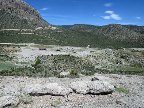
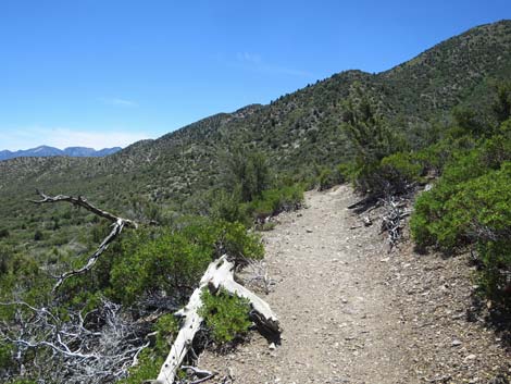
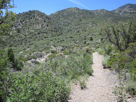
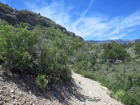
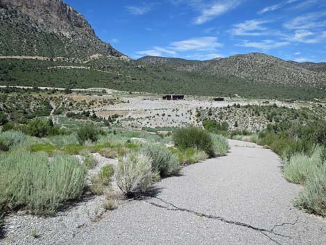
The Visitor Center is straight down from the Overlook, giving the impression that the hike is almost over, but that is not the case as there is plenty of trail to cover before the end. From the Overlook, the trail turns right and heads due south around the back of a deep cleft in the cliffs. Passing the back of the gully, the trail runs more-or-less straight northeast to arrive at the end of the Escarpment Cliffs. The route down is, however, far to the south, and the trail turns right again while still above the cliffs. Now climbing at gentle grades, the trail eventually runs over a high-point and begins to descend across the hillside to reach the East Bench (Wpt. 23) at a switchback. The view from here isn't as grand as those from other benches, but for hikers coming up the trail, this is a welcome reststop. Turning to the north, the trail descends below the Escarpment Cliffs at moderate and steep grades. The trail runs down along the base of the cliffs until turning the corner around the east end of the cliffs and heading west, still following along below the cliffs. |
 Sign: Trails in the Visitor Center area (note: North is at the bottom) |
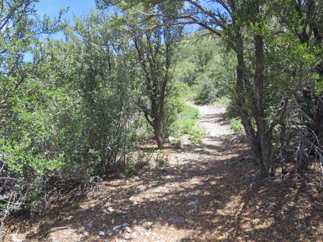
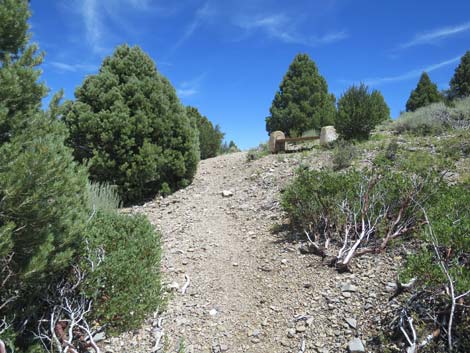
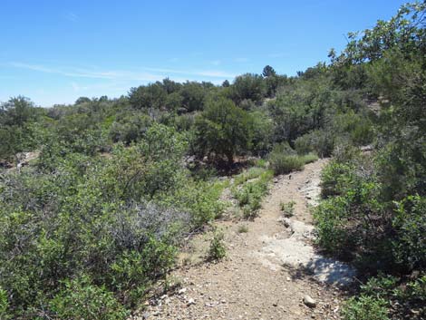
Below the cliffs, the trail mostly runs straight on gentle terrain, but it turns in and out of gullies staying on the contour. After winding through a nice forest of Singleleaf Pinyon Pines and Curl-leaf Mountain Mahogany, another trail junction (Wpt 15) is soon reached. This marks the east end of the Escarpment Trail. From this junction, the route turns downhill on the paved Pack Rat Trail. However, hikers might want to make a short detour uphill to visit the Silent Heroes of the Cold War trail-side exhibit. Either way, from the trail junction (Wpt 15), the Pack Rat Trail begins a very steep downhill run all the way to the bottom of the canyon. A bench about halfway down invites tired knees to stop and rest for a moment or two, but hikers eventually slip and slide all the way to the bottom where the paved trail suddenly ends (Wpt. 16) without fanfare. |
 Sign: Kunav Huveep Trail (edited to reflect reality) |
Hikers are left to push through the bushes into the wash bottom and head upstream. Following the wash up, hikers eventually arrive where the trail initially crossed the wash (Wpt. 04), thus closing the loop portion of the Pack Rat Trail. Back on the red-gravel of the Kunav Huveep Trail and heading north for the return, the trail bends to the left to reconnect with the paved trail (Wpt. 03), and then follows the red-gravel trail back up the hillside. Heading back up, the views down into the canyon seem more precious as hikers stop more frequently to admire the scenery and linger a bit longer. Before long, the bench (Wpt. 02) at the top of the hill comes into view, as does the visitor center building and the trailhead (Wpt. 01). The shorter route to the parking lot passes by the visitor center, but the maze of paved trails in this area provides several routes to the parking lot. The building on the right is a classroom, and the picnic area is even farther right. |
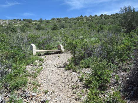
 First bench overlooking Kyle Canyon Wash (view W) |
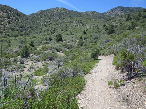
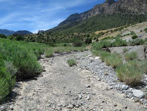
 Trail descends into Kyle Canyon Wash (view W) |
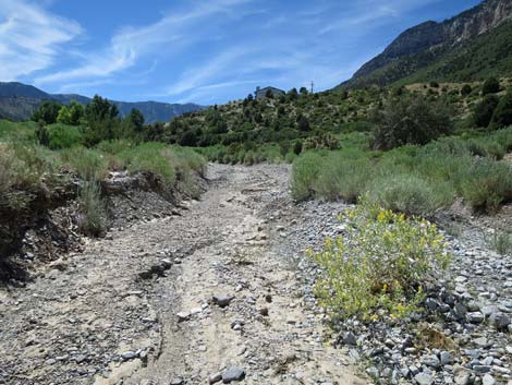
 Lots of Rubber Rabbitbrush in Kyle Canyon Wash (view W) |
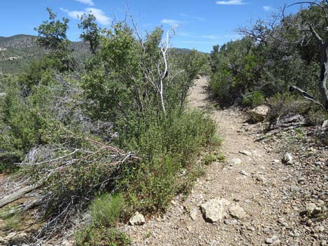
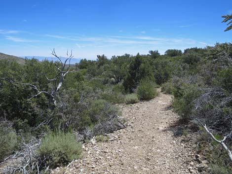
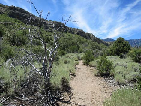
 Descending into Kyle Canyon Wash (view W) |
 Trail descends past a patch of Gambel Oak (view SW) |
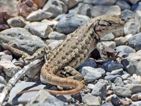 Northern Sagebrush Lizard along the trail |
 The Kunav Huveep Trail turns left ahead (view SW) |
 The Kunav Huveep Trail turns left (view SW) |
 Trail marker: The Kunav Huveep Trail (view S) |
 Other side of trail marker: Pack Rat, Escarpment trails (view E) |
 The Kunav Huveep Trail head east on red gravel (view E) |
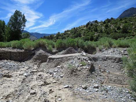
 In July 2019, the trail is washed out; go around on right (view SE) |
 Kunav Huveep Trail (view SE) |
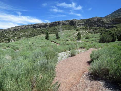
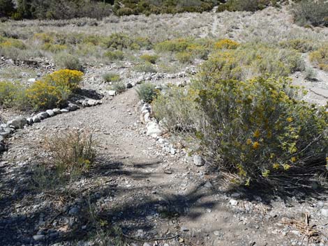
 Start of the Kunav Huveep loop (view SE) |
 Staying left on the Kunav Huveep loop (view SE) |
 Kunav Huveep loop bends to the right (view SE) |
 Trail junction: Escarpment, Pack Rat trails turn left (view SE) |
 Trail junction: Escarpment and Pack Rat trails turn up hill (view SE) |
 Trail marker post: Escarpment and Pack Rat trails (view SE) |
 Red-gravel trail ends at start of pavement (view SE) |
 Trail starts up the paved trail (view SW) |
 Acastus Trail forks to the right (view SW) |
 The paved trail begins to steepen (view SW) |
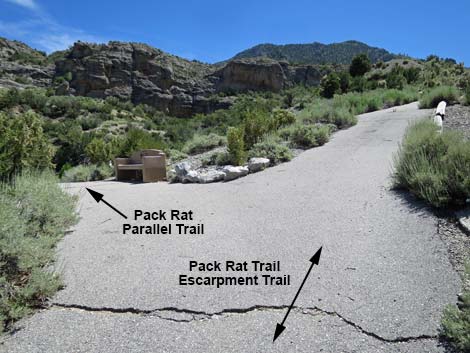 Trail junction: Pack Rat Parallel Trail forks left (view SW) |
 Trail junction: north end of the Pack Rat Parallel Trail (view SW) |
 Trail junction: Pack Rat Parallel Trail forks back to the left (view SW) |
 The paved trail is very steep (view SW) |
 The grade of the paved trail begins to lessen (view SW) The grade of the paved trail begins to lessen (view SW) |
 The paved trail runs out onto gentle flats (view SW) |
 Trail junction: south end of the Pack Rat Parallel Trail (view W) |
 Trail runs across gentle flats (view SW) |
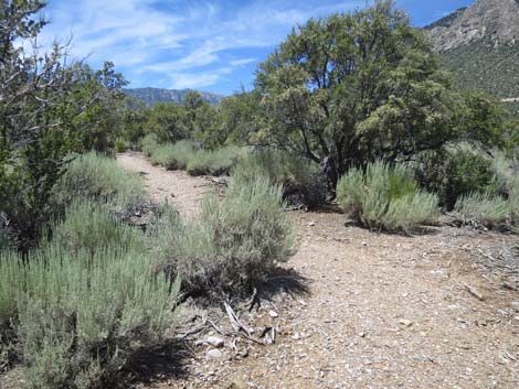
 Lots of Big Sagebrush on these open flats (view W) |
 Pack Rat Trail bends around a hairpin turn to trail junction (view SE) |
 Pack Rat Trail runs east; Escarpment Trail runs west (view E) |
 Escarpment Trail turns hard to the right and runs west (view W) |
 Escarpment Trail marker post (view W) |
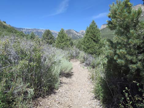
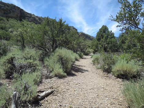
 Trail runs across Big Sagebrush flats and into open forest |
 Shrubs and low conifer trees line the trail (view W) |
 Singleleaf Pinyon Pine on the right (view W) |
 Stansbury Cliffrose on the left (view W) |
 Big Sagebrush on the right (view W) |
 Gambel Oak on the left (view W) |
 Curl-leaf Mountain Mahogany on the right (view W) |
 The grade begins to increase (view W) |
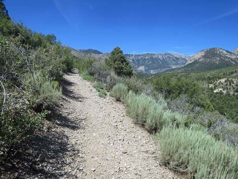 Big Sagebrush and big views on the right (view W) |
 The trail climbs at moderate grades (view W) |
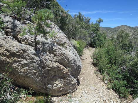
 Caliche bounder that rolled down from the cliffs (view W) |
 Dying White Pine at an unusually low elevation for this species |
 Ponderosa Pine on the left (view SW) |
 The trail begins to climb at fairly steep grades (view W) |
 The trail turns to run due south (view S) |
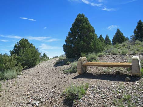
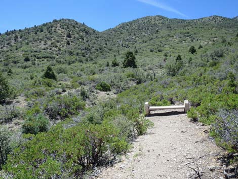
 The first of the benches on the Escarpment Trail (view SE) |
 On the steep hillside, a pleasant place to rest (view S) |
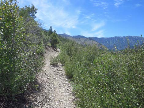
 The trail winds up brushy slopes (view S) |
 Steep trail passes another Ponderosa Pine (view S) |
 The trail runs up into a thicket of Mountain Mahogany (view SE) |
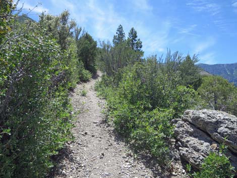
 The trail bends back towards the top of the cliffs (view E) |
 Passing out of the Curl-leaf Mountain Mahogany thicket (view E) |
 Brushy slopes angling up towards the top of the cliffs (view NE) |
 Thickets of Gambel Oak and Mountain Mahogany (view NE) |
 Moderate grades and big views (view NE) |
 Low-growing Gambel Oak and Big Sagebrush on open slopes (view NE) |
 Escarpment Trail approaching the West Bench (view NE) |
 Escarpment Trail at the West Bench (view NE) |
 Nice view back towards the Visitor Center (view NE) |
 The trail continues upward past the bench (view E) |
 Approaching the high-point on the Escarpment Trail (view E) |
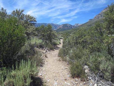
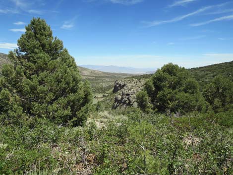 First good view of the Escarpment Cliffs (view NE) |
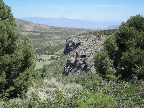 Zoom-view of the Escarpment Cliffs (view NE) |
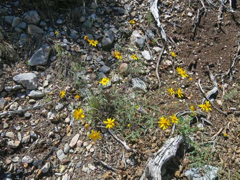
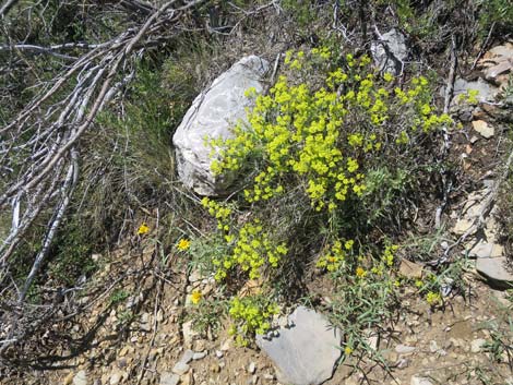 Sulphur Buckwheat in bloom along the trail |
 From the high-point, the trail begins a gradual descent (view E) |
 Gradual descent as the trail winds across the slopes (view E) |
 Nevada Goldeneye Nevada Goldeneye |
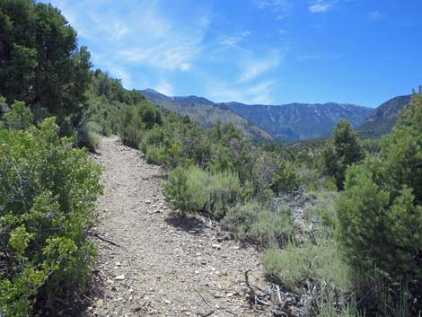
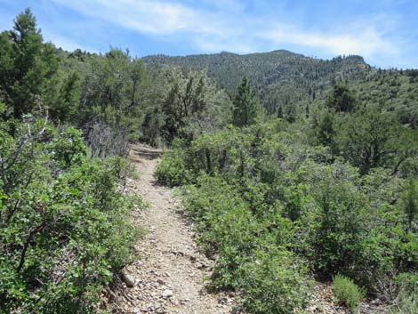
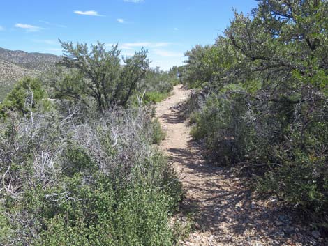
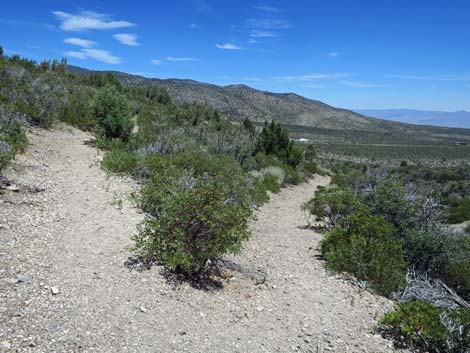
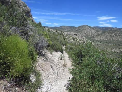
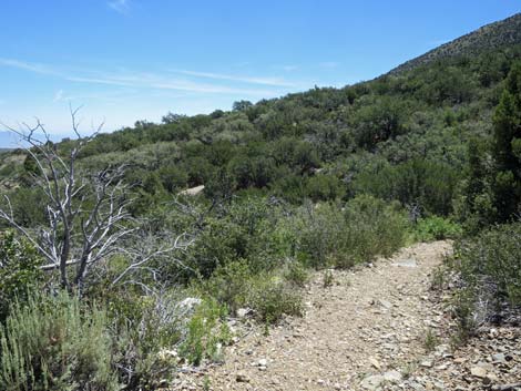 Trail traverses open hillsides (view E) |
 Trail traverses dense shrub thickets (view E) |
 Pointleaf Manzanita on the left (view NE) |
 Evidence of a fire long ago (view NE) |
 Escarpment Trail at the Middle Bench (view NE) |
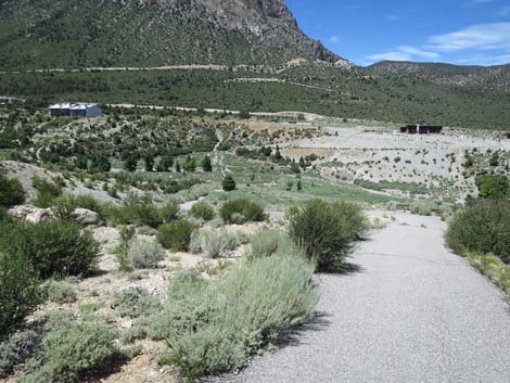
 Grand scenery near the Middle Bench (view N) |
 Grand scenery near the Middle Bench (view NE) |
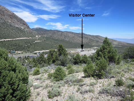
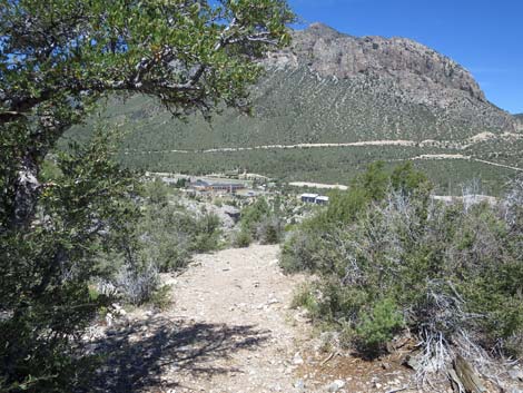
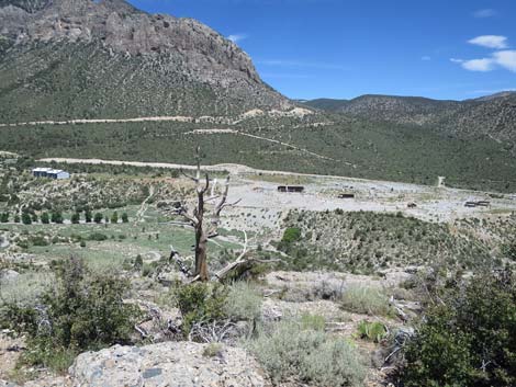
 A view towards the Visitor Center (view NE) |
 The trail runs at gentle grades atop the cliffs (view NE) |
 Turning to contour around a gully (view SE) |
 Contouring out of the gully (view NE) |
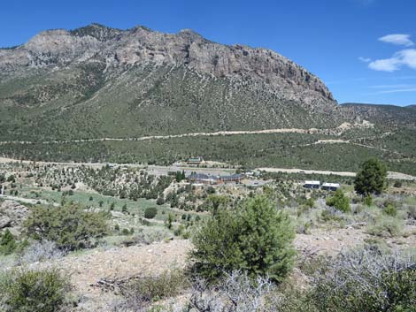
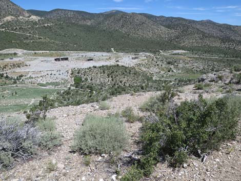
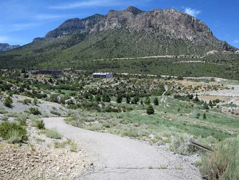
 A view towards the Resort (view N) |
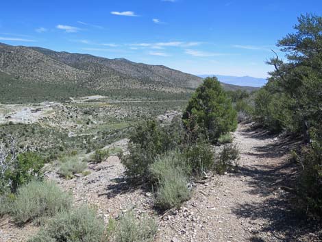 Big views down Kyle Canyon (view NE) |
 Sometimes the trail runs near the cliff edge (view N) |
 Sometimes the trail runs back in the shrub thickets (view E) |
 Sometimes Curl-leaf Mountain Mahogany shades the trail (view NE) |
 Open hillside (view N towards the Visitor Center) |
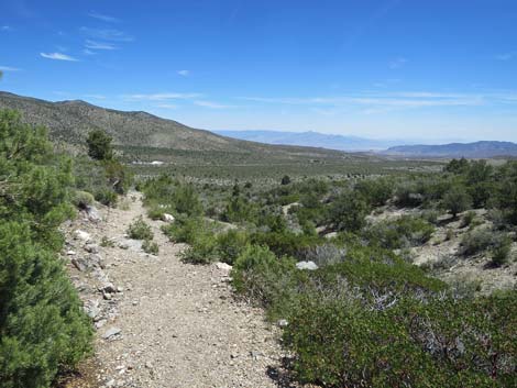
 More and more open views (view NE) |
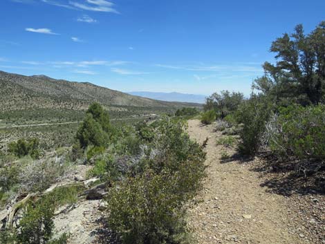
 Big view into Kyle Canyon (view NE) |
 Escarpment Trail at the Overlook (view N) |
 The Overlook (view N towards the Visitor Center) |
 The Overlook (view NE towards the Sheep Range) |
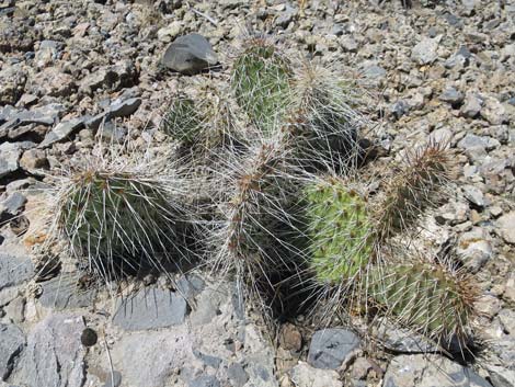 Be careful where you sit at the Overlook (Grizzlybear Cactus) |
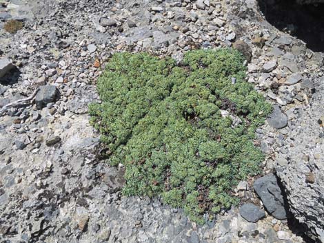 Be careful where you sit at the Overlook (Rock Mat) |
 Escarpment Trail departing the Overlook (view S) |
 From the Overlook, the trail runs into the back of a gully (view S) |
 Continuing through trees and shrubs (view NE) |
 Open landscape atop the cliffs (view NE) |
 A tall Curl-leaf Mountain Mahogany on the right (view NE) |
 Open landscape atop the cliffs (view NE) |
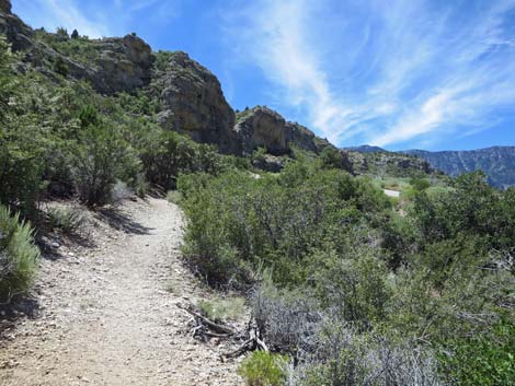
 The trail bends right to stay atop the cliffs (view SE) |
 Singleleaf Pinyon Pine and Mt. Mahogany along the trail (view SE) |
 Lots of Pointleaf Manzanita on these open hillsides (view SE) |
 More evidence of old fires (view SE) |
 More Pointleaf Manzanita on the open hillsides (view SE) |
 Approaching the "high point" on the east end of the trail (view S) |
 The "high point;" lots of downhill past this point (view S) |
 Starting down to get below the cliffs (view S) |
 Approaching the East Bench (view S) |
 East Bench at a big switchback (view S) |
 The trail switchbacks at the East Bench (view N from bench) |
 Big views down the gully (view NE) |
 Banana Yucca and Curl-leaf Mountain Mahogany (view NE) |
 Getting down below the level of the cliffs (view N) |
 The trail traverses below the cliffs (view N) |
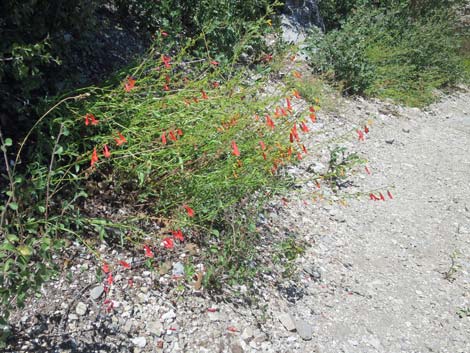 Bridge Penstemon along the trail (view N) |
 A hardy Pinyon Pine growing from a crack in a boulder (view N) |
 Most of the trail in this area descends at gentle grades (view N) |
 Another boulder along the trail (view N) |
 Continuing gentle grades (view N) |
 The trail turns to descend steeply below the cliffs (view N) |
 The trail runs around a point of the cliffs (view E) |
 The trail runs around a point of the cliffs (view N) |
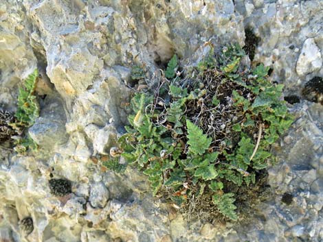 Parry's Lipfern growing on shady side of a boulder |
 Turning the corner (view W) |
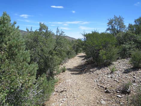
 The trail runs along shrub and tree covered hillside (view W) |
 Gentle grades in this area (view W) |
 The trail winds up around the head of a gully (view SW) |
 Turning across the head of the gully (view N) |
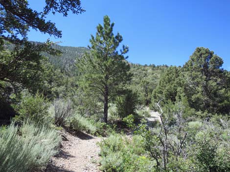
 Trail returns to views up Kyle Canyon (view W) |
 Winding back towards the cliffs (view SW) |
 Gentle flats with Big Sagebrush (view W) |
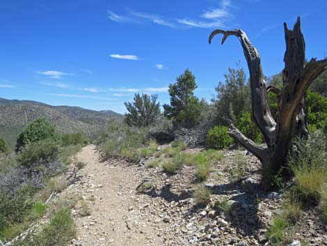
 Another old, burned-out tree (view W) |
 Winding through Big Sagebrush and Pinyon Pines (view W) |
 Gentle grades through groves of Mountain Mahogany (view W) |
 One last good look up at the Escarpment Cliffs (view SW) |
 Arriving at a junction with the Pack Rat Trail (view SW) |
 Looking back at the Escarpment Trail marker post (view E) |
 The trail begins the steep descent towards the wash (view NE) |
 The Pack Rat Trail gets very steep (view N) |
 Very steep Pack Rat Trail (view N) |
 Pack Rat Trail bends to wind across the hillside (view NE) |
 Not so steep (view E) |
 Approaching a bench on a hairpin turn (view E) |
 The turn at the bench (view W) |
 Descending past the bench (view N) |
 The Pack Rat Trail gets very steep again (view N) The Pack Rat Trail gets very steep again (view N) |
 Pack Rat Trail approaching Kyle Canyon Wash (view NE) |
 The Pack Rat Trail at the end of the pavement (view NE) |
 The trail just ends; hikers wind down through the bushes (view W) |
 Pack Rat Trail seems to just follow the wash (view W) |
 Smoothstem Blazingstar in the wash (view W) |
 Pack Rat Trail returning to the washed-out Kunav Huveep Trail |
 Returning to Kunav Huveep Trail at the washout (view N) |
 Kunav Huveep Trail continues (view NW) |
 Kunav Huveep Trail approaching a trail junction (view W) |
 Trail marker seen before (view N) |
 Kunav Huveep Trail turns at trail junction and goes uphill (view NE) |
 Kunav Huveep Trail climbing out of the canyon (view NE) |
 Kunav Huveep Trail climbing the hillside (view E) |
 Kunav Huveep Trail climbing the hillside (view E) |
 The bench at the top comes into view (view E) |
 Returning to the bench (view NE) |
 The Visitor Center building is visible from the bench (view N) |
 Returning towards the Visitor Center (view N) |
 In case you missed it: that's the Visitor Center (view NW) |
 Returning to the outdoor amphitheater (view N) |
Table 1. Hiking Coordinates Based on GPS Data (NAD27; UTM Zone 11S). Download Hiking GPS Waypoints (*.gpx) file.
| Wpt. | Location | UTM Easting | UTM Northing | Elevation (ft) | Point-to-Point Distance (mi) | Cumulative Distance (mi) |
|---|---|---|---|---|---|---|
| 01 | Trailhead | 626915 | 4014658 | 6,470 | 0.00 | 0.00 |
| 02 | Top of Hillside | 626911 | 4014631 | 6,467 | 0.02 | 0.02 |
| 03 | Trail Junction | 626683 | 4014565 | 6,445 | 0.16 | 0.18 |
| 04 | Trail Crosses Wash | 626739 | 4014556 | 6,438 | 0.04 | 0.22 |
| 05 | Trail Junction | 626757 | 4014537 | 6,440 | 0.02 | 0.24 |
| 06 | Trail Junction | 626790 | 4014522 | 6,450 | 0.03 | 0.27 |
| 08 | Start of Paved Trail | 626812 | 4014506 | 6,458 | 0.02 | 0.29 |
| 09 | Trail Junction | 626808 | 4014486 | 6,469 | 0.01 | 0.30 |
| 10 | Trail Junction | 626767 | 4014418 | 6,537 | 0.06 | 0.36 |
| 11 | Trail Junction | 626644 | 4014292 | 6,620 | 0.11 | 0.47 |
| 12 | Trail Junction | 626517 | 4014247 | 6,657 | 0.10 | 0.57 |
| 20 | West Bench | 626282 | 4014041 | 7,012 | 0.53 | 1.10 |
| 21 | Middle Bench | 626643 | 4014100 | 6,968 | 0.29 | 1.39 |
| 22 | Overlook | 627083 | 4014289 | 6,860 | 0.39 | 1.78 |
| 23 | East Bench | 627307 | 4014006 | 6,837 | 0.39 | 2.17 |
| 15 | Trail Junction | 626857 | 4014305 | 6,738 | 0.83 | 3.00 |
| 16 | End of Paved Trail | 626886 | 4014550 | 6,578 | 0.21 | 3.21 |
| 04 | Trail Crosses Wash | 626739 | 4014556 | 6,438 | 0.10 | 3.31 |
| 03 | Trail Junction | 626683 | 4014565 | 6,445 | 0.07 | 3.38 |
| 02 | Top of Hillside | 626911 | 4014631 | 6,467 | 0.16 | 3.54 |
| 01 | Trailhead | 626915 | 4014658 | 6,470 | 0.02 | 3.56 |
Happy Hiking! All distances, elevations, and other facts are approximate.
![]() ; Last updated 240329
; Last updated 240329
| Hiking Around Mt Charleston | Hiking Around Las Vegas | Glossary | Copyright, Conditions, Disclaimer | Home |