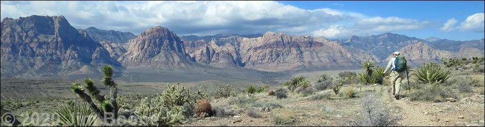
Hiking Around Las Vegas, Red Rock Canyon NCA, Blue Diamond Hill
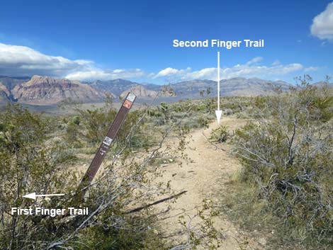
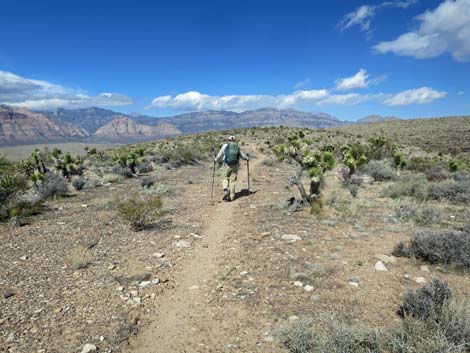
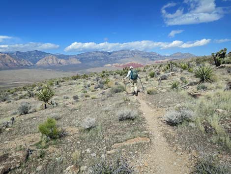
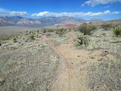
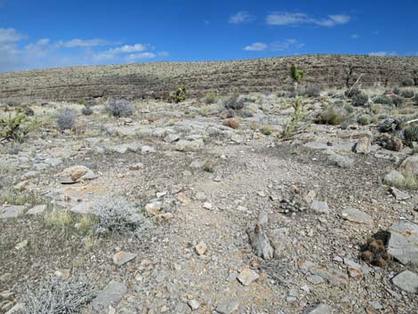
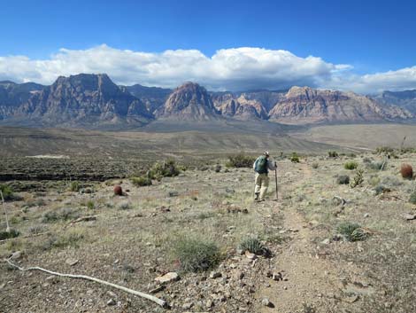
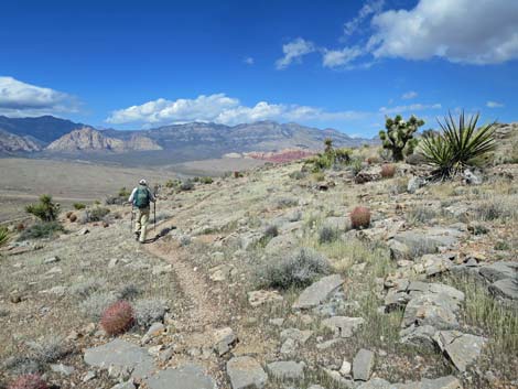
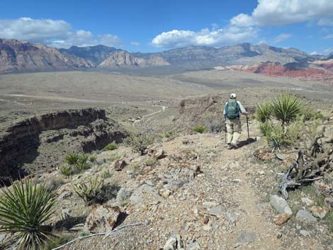
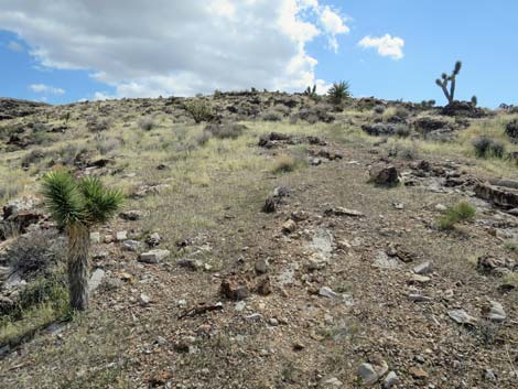
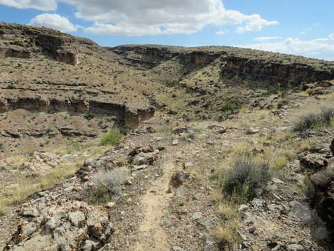
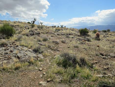
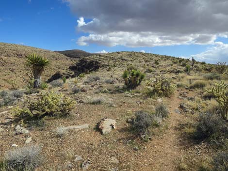
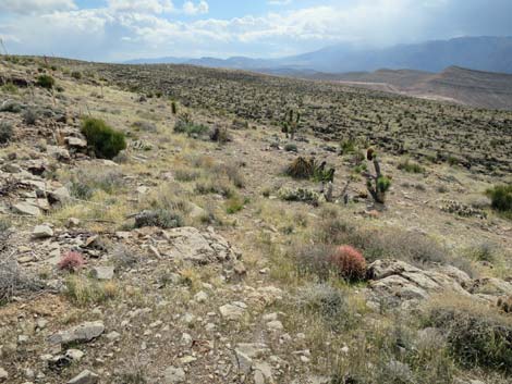
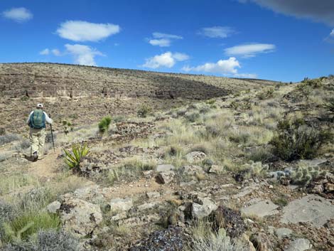
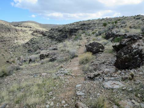
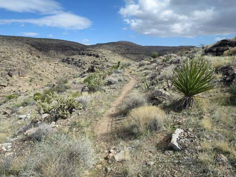
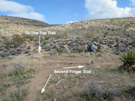
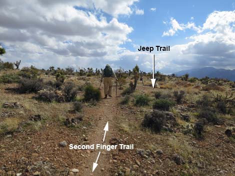
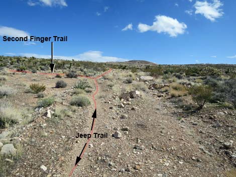 Jeep Trail approaching Second Finger Trail (view E) |
Overview Second Finger is a long, narrow ridge bordered by steep, rocky terrain and cliffs. As such, this is a destination hike that isn't easily connected with other Blue Diamond Hill Bike Trails to make a loop. Second Finger Trail is a 2.7-mile loop, but it starts at least 2.5 miles from the trailhead parking, so a round trip doing just this trail (using the Fossil Trail and the Jeep Trail to get there) is some 7.7 miles total. The trail gently contours down and out the west side of the ridge to the tip of Second Finger, then turns and climbs gently back up along the east side to the base of the ridge. Flora and Fauna This is Mojave Desert Scrub country with lots of cactus, birds, and lizards. See the Blue Diamond Hill Bike Trail Overview for details. Link to trail map. |
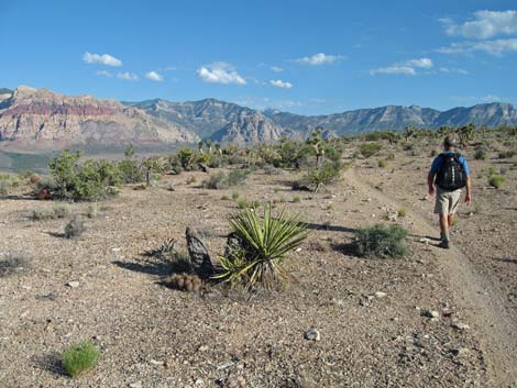
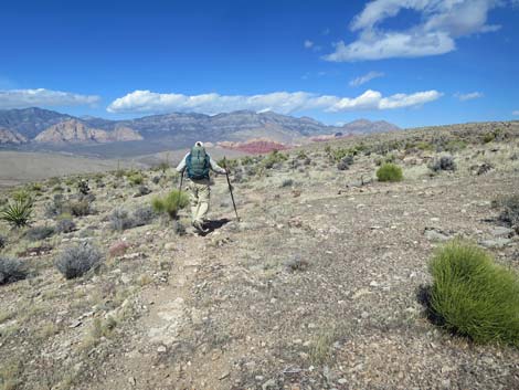
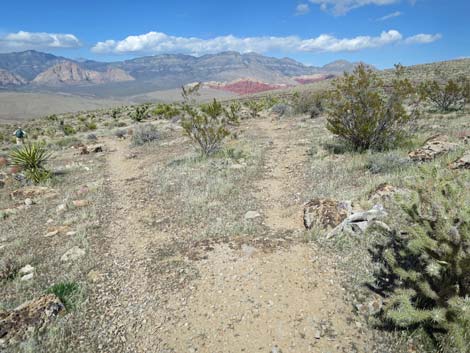
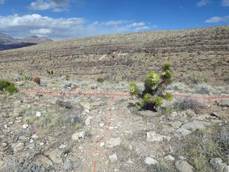
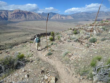
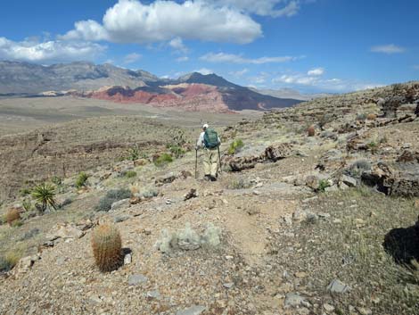
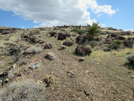
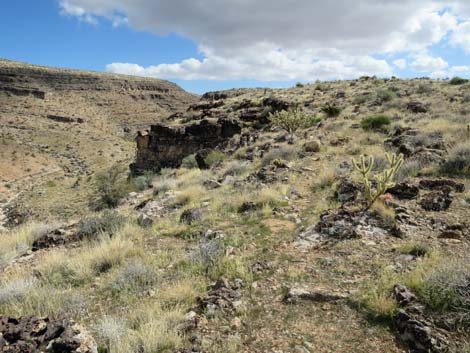
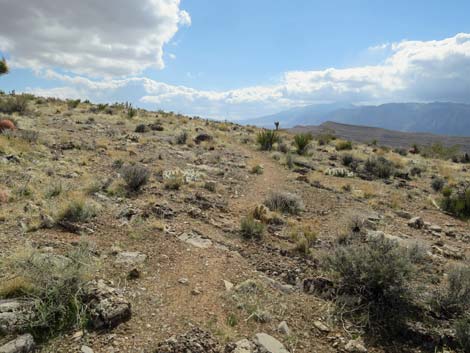
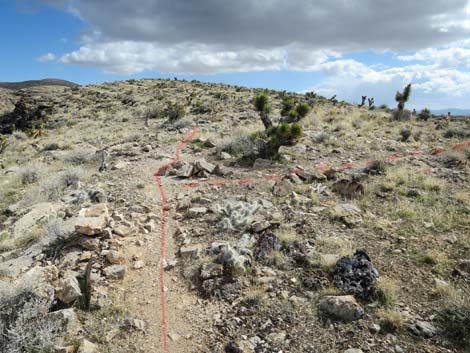
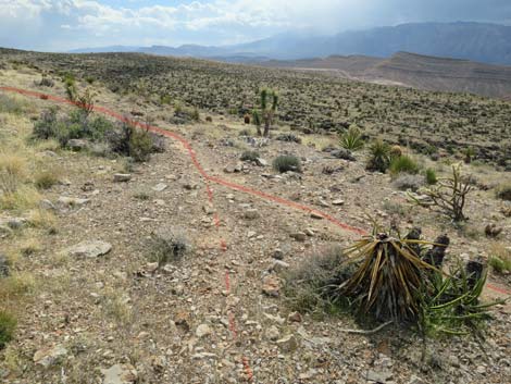
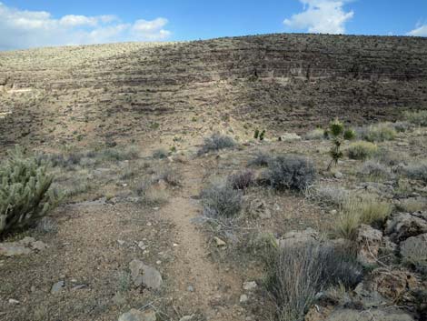
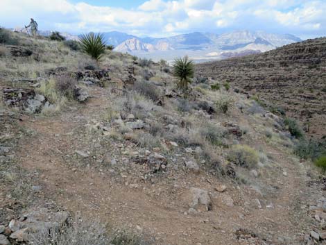
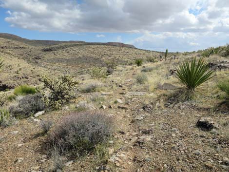
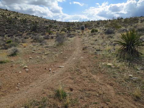
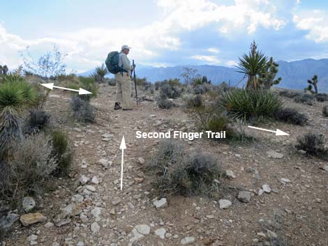
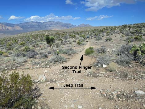 Second Finger Trail (view N from Jeep Trail) |
Watch Out Other than the standard warnings about hiking in the desert, ...this is a pretty safe hike. The Blue Diamond Hill Trails were designed for mountain bikes, so the grades are generally easy, but watch for bikers careening down the trail. Also, out near the tip of the finger, there are places where hikers and bikers could fall off the cliffs. While hiking, please respect the land and the other people out there, and try to Leave No Trace of your passage. Also, even though this hike is short, be sure to bring what you need of the 10 Essentials. Getting to the Trailhead This hike is located in Red Rock Canyon National Conservation Area, about 30 minutes from town, but not on the Scenic Loop Road. Drive out West Charleston Blvd, past the entrance to the Scenic Loop, to the Cowboy Trail Rides Trailhead on the left. Park here; this is the trailhead. |
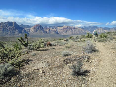
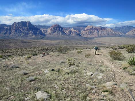
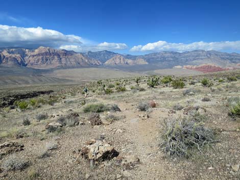
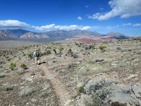
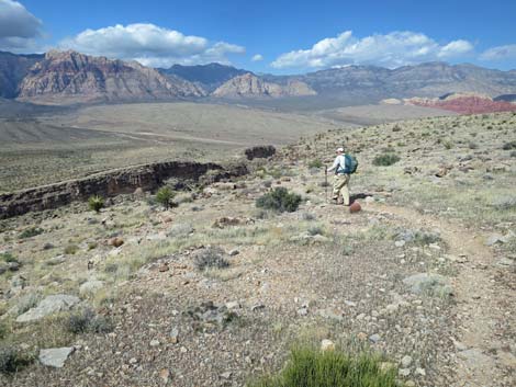
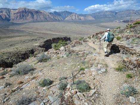
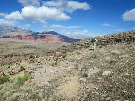
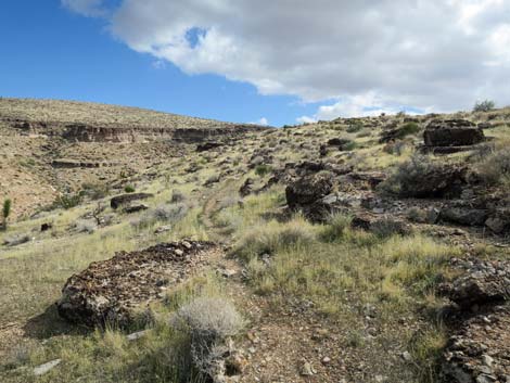
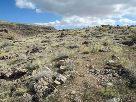
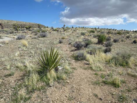
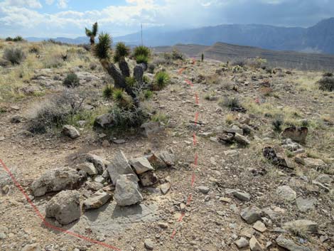
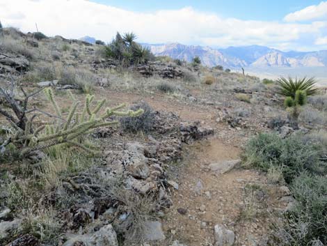
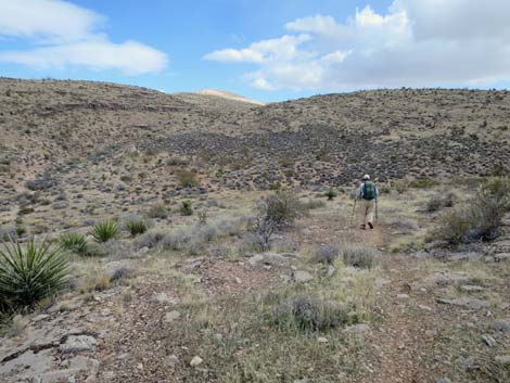
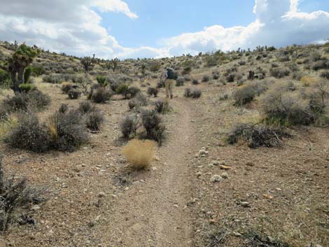
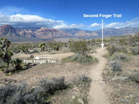 Second Finger Trail approaching First Finger Trail (view NW) |
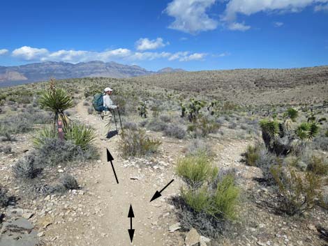
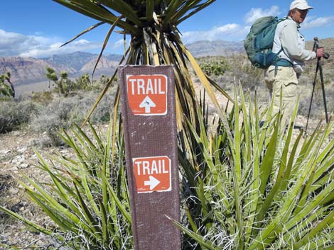
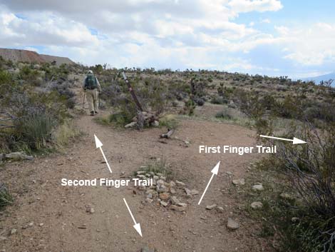
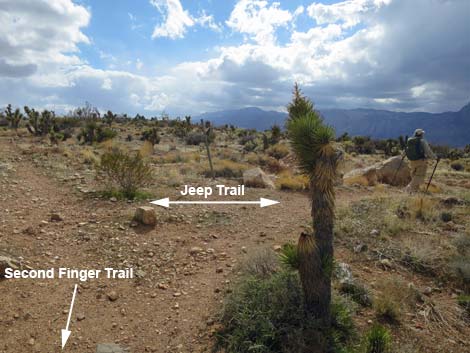
The Hike From the trailhead, the most direct way to start the Second Finger Trail is to hike out the Fossil Trail for 2.3 miles to a trail junction with the Jeep Trail. Turn left onto the Jeep Trail and hike another 0.2 miles uphill to the junction (Table 1, Waypoint 11) with Second Finger Trail. From the start of Second Finger Trail (Wpt. 11), the hike runs north with grand views of the Red Rock Cliffs, and in only 60 yards reaches a trail junction (Wpt. 10) with First Finger Trail, which forks to the left. First Finger runs about 1.3 miles and connects with Fossil Trail, perhaps making an alternate, but somewhat longer, route back to the trailhead. Continuing north on Second Finger Trail, the hike quickly reaches yet another trail junction (Wpt. 12). At this point, the Second Finger Trail forks to form a loop. Hikers can take either fork, but as described here, the trail stays left (straight). |
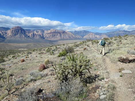
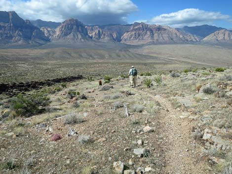
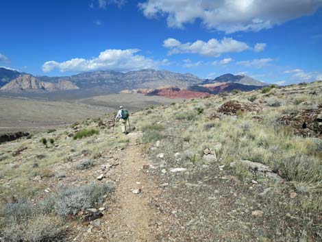
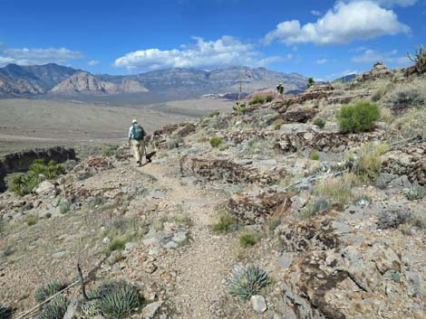
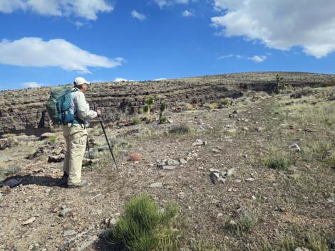
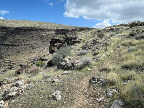
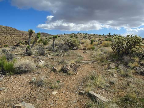
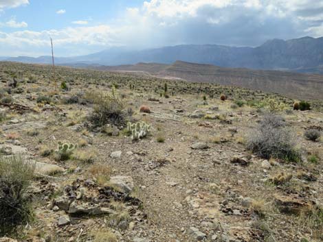
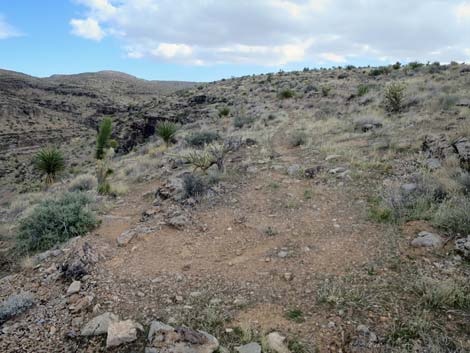
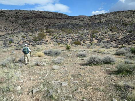
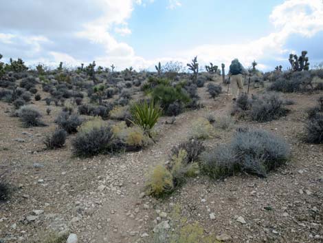
 Second Finger Trail at First Finger Trail (view NW) |
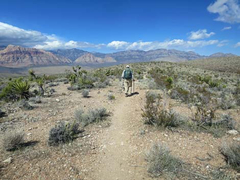
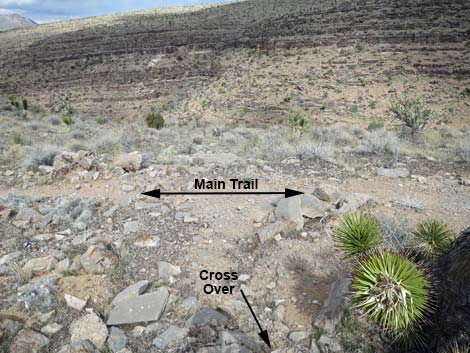
Staying straight (left) on the Second Finger Trail, the trail runs nearly level across a sparsely vegetated landscape. The geology is layered limestone (watch for fossils), and the plant species are typical Mojave Desert Scrub. Watch for lots of Joshua Trees, Mojave Yucca, Mormon Tea, and Buckhorn Cholla mixed with other shrubs. After contouring around a slight knoll, the trail begins a gradual descent staying on the west side of the Second Finger Ridge. At about 0.5 miles out, the trail reaches a trail junction (Wpt. 50), but this one is faint and easy to miss. This trail is the first of two cross-over trails to the right that lead to the east side of Second Finger Ridge. For hikers wanting a shorter loop, this is the first of two trail options to cut across and start back. Now descending somewhat more steeply, the Second Finger Trail soon reaches another faint trail junction (Wpt. 51) with the second of the two cross-over trails. As before, this trail leads right towards the east side of Second Finger Ridge. For hikers wanting a shorter loop, this is the second of two trail options. Of course, the ridgetop is narrow, so hikers can hike off-trail to the other side of the ridge anywhere they'd like. |
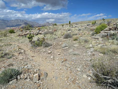
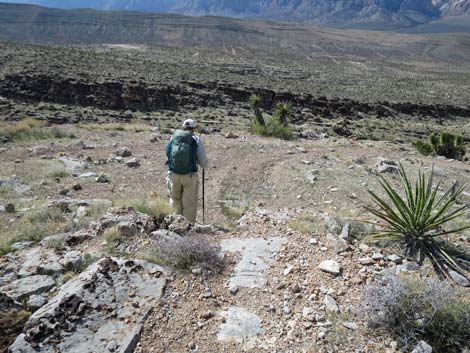
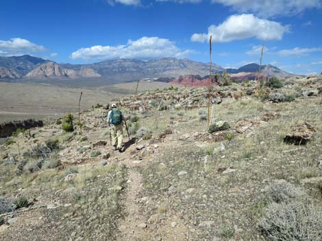
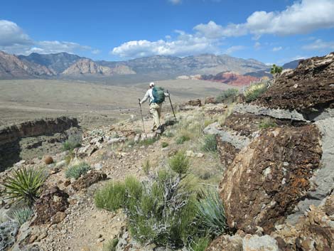
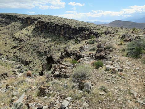
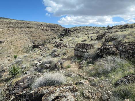
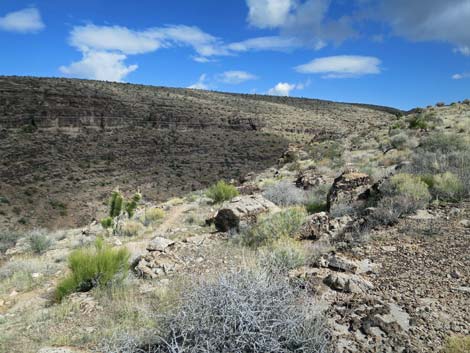
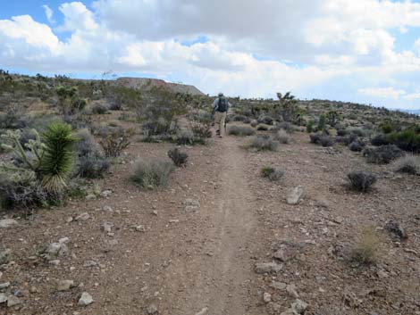
 Beginning of loop portion of Second Finger Trail (view NW) |
Continuing straight (left) on the main Second Finger Trail, the side of the ridge gets steeper, and hikers are treated to better and better views down into Fossil Canyon and out across Fossil Ridge to the Red Rock Cliffs beyond. The trail is never steep, but the slope gets steeper and more rocky towards the tip such that bike riders might use extra caution, and suddenly the trail turns right onto the broad tip of the Second Finger. The slope lays back with some sitting-rocks, providing nice places to stop, take in the view, and perhaps eat lunch. From the tip, the trail back is faint, but it loops around the rocky outcrop and starts back south. There are actually two trails at the tip, and when hiking, the first junction is rocky and hard to see. When starting south, the trail is faint, but soon becomes more obvious when the two trails merge. However, this northeast quarter of the loop is more faint than the rest of the trail, and it requires some attention to stay on the trail. In general, the trail stays left close to the edge of the cliff, but not always right on the edge. |
 Trail sign at intersection (view NW) |
About 3/4-miles up from the tip, the Second Finger Trail reaches a trail junction (Wpt. 53) to the left. This is the northern (second) cross-over trail, and while the outbound intersection was quite faint, the junction at this end is obvious. The cross-over trail runs about 40 yards to the other side of the loop. Continuing south, the Second Finger Trail quickly reaches a T-intersection (Wpt. 54). The main trail turns left and heads down towards the edge of the cliffs, while the trail to the right is the southern (first) cross-over trail, which runs about 45 yards to the other side of the loop. Turning left, the trail runs down to the edge of the cliffs and bends right along the rim. Before long, the trail passes two switchbacks to regain some elevation and continues south contouring around a low knoll. Eventually the trail trends down into a valley bottom and reaches another T-intersection (Wpt. 13), this time with the To-The-Top Trail. This is actually a three-way intersection, but the Cave Canyon Trail, which drops into the wash bottom, is not obvious. |
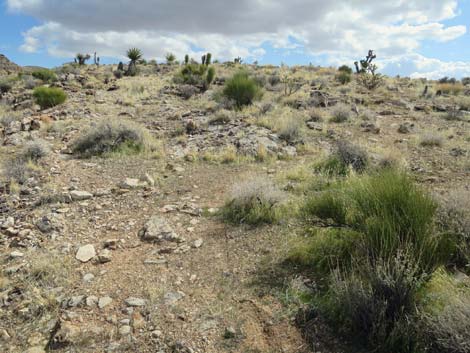
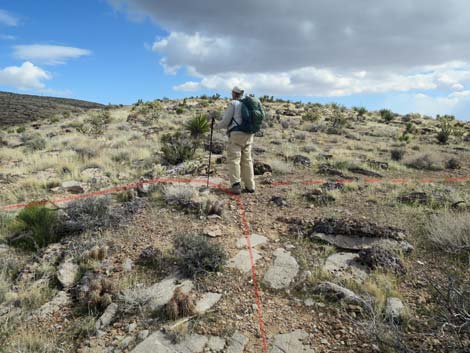
 Hiker starting the Second Finger loop (view NW) |
While in this area, it is interesting to note the increase in vegetation in the side canyon where plants get just a little more water than do those on the ridgetop. Continuing right on the Second Finger Trail, the trail runs up through a shallow canyon towards the southwestern skyline. Maybe this is just the end of the trail, but this feels like the steepest part of the hike. Regaining the ridgeline and another intersection (Wpt. 12), the trail reconnects with the outbound Second Finger Trail. This closes the loop, and turning left, hikers start back over familiar terrain. The Second Finger Trail quickly passes the junction (Wpt. 10) with the First Finger Trail and returns to the T-intersection (Wpt. 11) with the Jeep Trail, ending the Second Finger Trail. From the end of the Second Finger Trail, hikers can walk back directly to the trailhead, make a loop by hiking back down the Jeep Trail to the Cat-N-Hat Trail, or continue east on one of the other Blue Diamond Hill Bike Trails. |
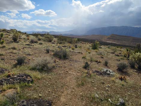
 Grand views from the Second Finger Trail (view NW) |
 Grand views from the Second Finger Trail (view NW) |
 |
 |
 |
 |
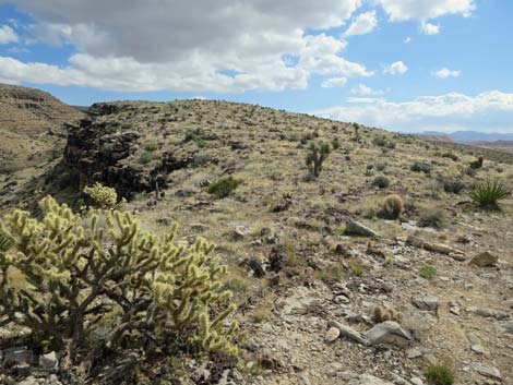
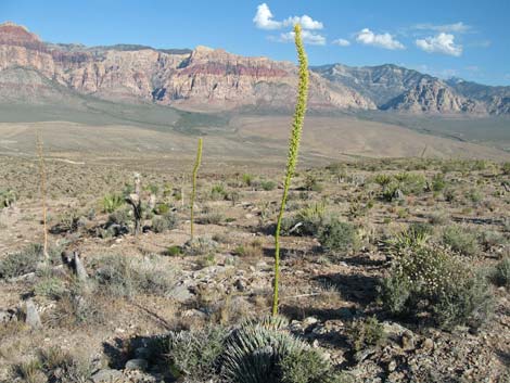 Blooming Utah Agave along Second Finger Trail (view NW) |
 Grand views from Second Finger Trail (view NW) |
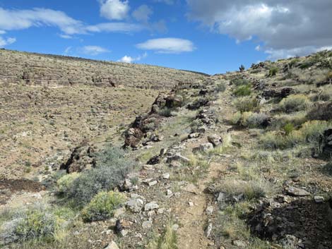
 Second Finger Trail approaching first cross-over trail (view NW) |
 More to come ... |
Southern (first) Cross-Over Northbound
 Second Finger Trail at the first cross-over trail (view NW) |
More to come ... |
Continuing the Hike
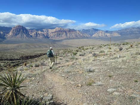
 Hiker continuing north on Second Finger Trail (view NW) |
 Second Finger Trail approaching second cross-over trail (view NW) |
Northern (second) Cross-Over Northbound
Second Finger Trail at second cross-over trail (view NW) |
 Second cross-over trail (view NE) |
 Second cross-over trail approaching Second Finger Trail (view NE) |
 Second cross-over trail at Second Finger Trail (view NE) |
Continuing the Hike
Second Finger Trail continues past second cross-over (view NW) |
 Hiker continuing north on Second Finger Trail (view NW) |
 |
 |
 Grand views from the Second Finger Trail (view NW) |
 Second Finger Trail drops over low cliff (bike-jump; view NW) |
 |
 |
 |
 |
 Second Finger Trail begins to drop more steeply (view NW) |
 Second Finger Trail drops more gently (view NW) |
 Second Finger Trail traversing rocky hillside (view NW) |
 Second Finger Trail traversing rocky hillside (view NW) |
 Grand views from the Second Finger Trail (view NW) |
 Hiker arriving at Second Finger Tip (view N) |
 Hiker at Second Finger Tip (view N) |
 Hiker at Second Finger Tip, starting back south (view NE) |
 Faint Second Finger Trail starts back south (view SE) |
 Shortly, faint Second Finger Trail becomes more apparent (view SE) |
 Remaining faint, Second Finger Trail is easy to follow (view SE) |
 Second Finger Trail runs along edge of cliffs (view SE) |
 Second Finger Trail at edge of Cave Canyon (view S) |
 Second Finger Trail continues along edge of cliffs (view S) |
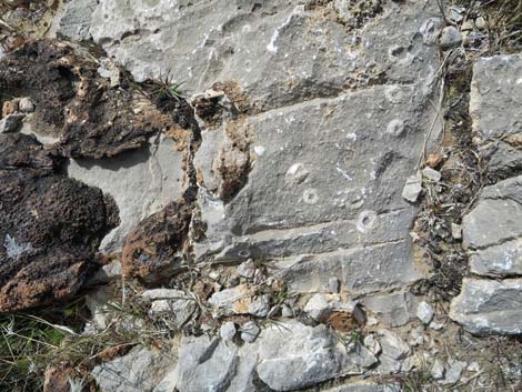 Crinoid fossils in the tread of Second Finger Trail (view down) |
 Second Finger Trail becomes faint again (view SE) |
 Faint trail tends to stay on the edge of the cliffs (view SE) |
 In some places, faint trail drifts away from cliff edge (view SE) |
 Faint trail back on cliff edge (view SE) |
 Faint trail away from cliff edge (view SE) |
 |
 |
 |
 |
 Second Finger Trail trends back towards the cliffs (view SE) |
 Second Finger Trail at northern (second) cross-over trail (view SE) |
Northern (second) Cross-Over Southbound
 Northern (second) cross-over trail (view SW from Second Finger Trail) |
 Northern (second) cross-over trail (view SW) |
 Northern (second) cross-over trail (view SW) |
 Northern (second) cross-over trail at Second Finger Trail (view SW) |
Continuing the Hike
 Hiker arriving at southern (first) cross-over trail (view SW) |
More to come ... |
Southern (first) Cross-Over Southbound
 Southern (first) cross-over trail (view S from Second Finger Trail) |
More to come ... |
Continuing the Hike
Hiker continuing on Second Finger Trail (view SW) |
 Hiker continuing on Second Finger Trail (view NE) |
 Second Finger Trail runs down towards cliff edge (view NE) |
 Second Finger Trail runs along cliff edge (view NE) |
 Second Finger Trail runs along cliff edge (view SE) |
 Second Finger Trail approaching switchbacks (view SE) |
 Second Finger Trail making first switchback (view NW) |
 Second Finger Trail approaching second switchback (view NW) |
 Second Finger Trail making second switchback (view SE) |
 Second Finger Trail continues south (view SE) |
 Second Finger Trail climbs at gentle grades (view SE) |
 Second Finger Trail levels out (view SE) |
 Second Finger Trail descends towards trail junction (view SE) |
 Second Finger Trail at To-The-Top Trail (view SE) |
 Second Finger Trail continues past junction (view SW) |
 Second Finger Trail climbs towards skyline (view SW) |
 Second Finger Trail arriving at the ridgeline (view SW) |
 Second Finger Trail closing the loop (view SW) |
 Hiker returning over familiar terrain (view SE) |
 Second Finger Trail at First Finger Trail (view SE) |
 Second Finger Trail arriving at Jeep Trail (view S) |
 Hiker turning down Jeep Trail (view S from Second Finger Trail) |
Table 2. Hiking Coordinates Based on GPS Data (NAD27; UTM Zone 11S). Download Hiking GPS Waypoints (*.gpx) file.
| Wpt. | Location | UTM Easting | UTM Northing | Elevation (ft) | Point-to-Point Distance (mi) | Cumulative Distance (mi) |
|---|---|---|---|---|---|---|
| 11 | Trail Junction (Jeep Trail) | 643087 | 3996172 | 4,539 | 0.00 | 0.00 |
| 10 | Trail Junction (First Finger Trail) | 643064 | 3996217 | 4,538 | 0.04 | 0.04 |
| 12 | Trail Junction (Second Finger Loop) | 643022 | 3996302 | 4,526 | 0.06 | 0.10 |
| 50 | Trail Junction (southern cross-over) | 642641 | 3996770 | 4,483 | 0.39 | 0.49 |
| 51 | Trail Junction (northern cross-over) | 642572 | 3996832 | 4,444 | 0.06 | 0.55 |
| 52 | Tip of 2nd Finger | 641880 | 3997640 | 4,147 | 0.75 | 1.30 |
| 53 | Trail Junction (northern cross-over) | 642587 | 3996866 | 4,448 | 0.74 | 2.04 |
| 54 | Trail Junction (southern cross-over) | 642642 | 3996807 | 4,473 | 0.05 | 2.09 |
| 13 | Trail Junction (To-The-Top) | 643067 | 3996507 | 4,474 | 0.41 | 2.50 |
| 12 | Trail Junction (Second Finger Loop) | 643022 | 3996302 | 4,526 | 0.14 | 2.64 |
| 10 | Trail Junction (First Finger Trail) | 643064 | 3996217 | 4,538 | 0.06 | 2.70 |
| 11 | Trail Junction (Jeep Trail) | 643087 | 3996172 | 4,539 | 0.03 | 2.73 |
Happy Hiking! All distances, elevations, and other facts are approximate.
![]() ; Last updated 240329
; Last updated 240329
| Hiking Around Red Rocks | Hiking Around Las Vegas | Glossary | Copyright, Conditions, Disclaimer | Home |