Hiking Around Las Vegas, Red Rock Canyon NCA, Blue Diamond Hill
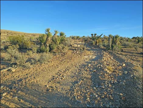
 Trailhead; outside the ranch gate (view S) |
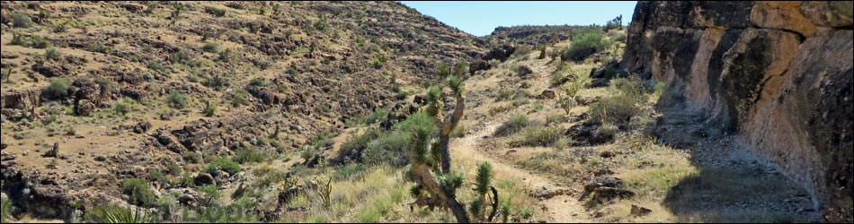
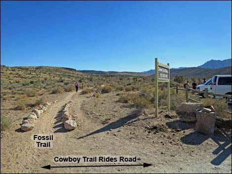
Overview The Fossil Trail is one of many trails on the northwest end of Blue Diamond Hill. The Fossil Trail is the west-most trail starting from the trailhead, and it runs for 2.28 miles from the Cowboy Trail Rides parking area south and up the side of Fossil Ridge to the head of Fossil Canyon and an old mining road (Jeep Trail). This trail provides relatively easy access to the higher Blue Diamond Hill trails, and it provides great views of the Red Rock Cliffs (Wilson Cliffs) across the valley to the west and the La Madre Mountain Range to the north. At the end of this trail, hikers can take any of several routes back down, or hike farther up onto Blue Diamond Hill. For hiking down the trail, see Fossil Trail -- Downhill. Link to map |
 Inside the gate, Fossil Trail is the first right (view SE) |
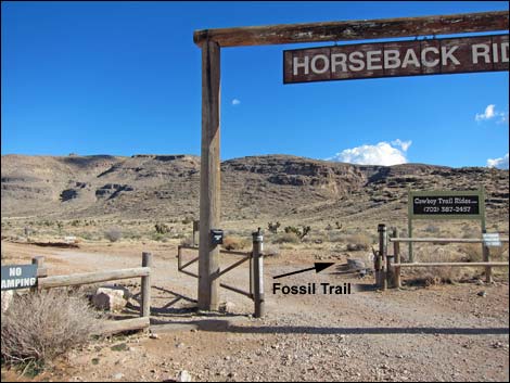
Watch Out Other than the standard warnings about hiking in the desert, ...this is a pretty safe hike, but inattentive hikers could stumble off a cliff half-way up. The Blue Diamond Hill trails were designed for mountain bikes, so the grades are easy, but watch out for bikers careening down the trail. While hiking, please respect the land and the other people out there, and try to Leave No Trace of your passage. Also, even though this hike is short, be sure to bring what you need of the 10 Essentials. Getting to the Trailhead This hike is located in Red Rock Canyon National Conservation Area, about 30 minutes from town, but not on the Scenic Loop Road. Drive out West Charleston Blvd to the Cowboy Trail Rides Trailhead. Park here; this is the trailhead. |
 Inside the gate, Fossil Trail stays right against fence (view S) |
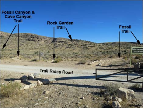
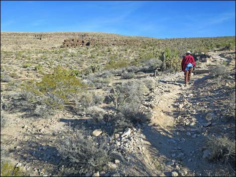
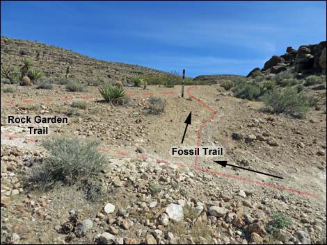
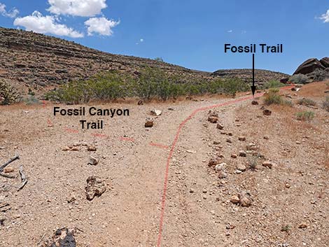
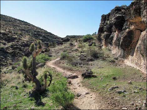
The Hike From the trailhead (Table 1, Waypoint 01), the trail runs under the ranch gate and immediately turns right onto the first trail to the right, staying against the parking lot fence heading due south. Two other trails also start to the right here, confusing the issue of getting started on the Fossil Trail. The Fossil Trail is the first trail to the right. The Rock Garden Trail is the second trail to the right and runs southeast towards the toe of Fossil Ridge. The Fossil Canyon Trail is the third trail to the right and runs east towards the mouth of Cave Canyon. Fossil Trail runs south along the fence, then follows a sandy wash until gradually bending southeast and climbing onto the side of Blue Diamond Hill, passing a 2005 burn area on the left. |
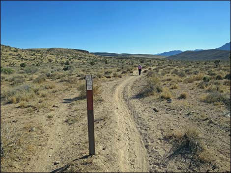 Carsonite trail sign (view S) |
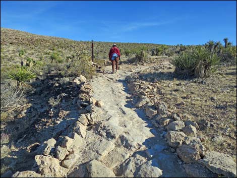
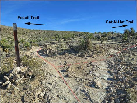
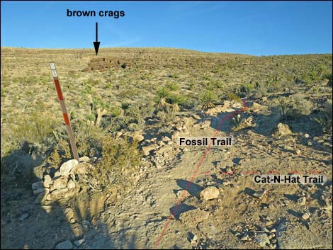
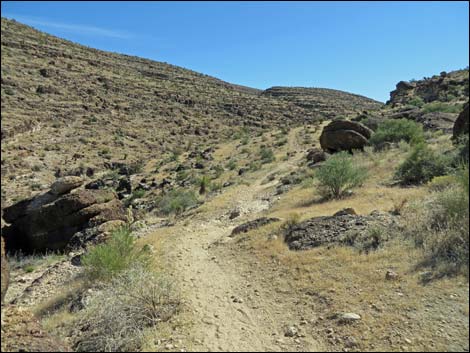
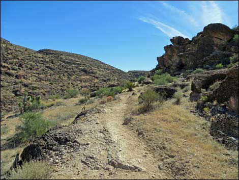
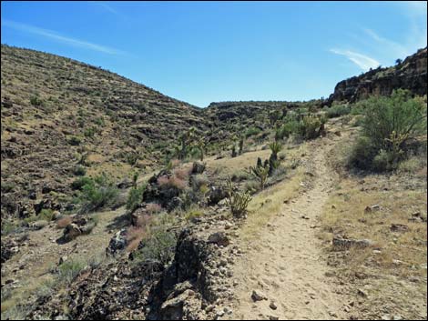
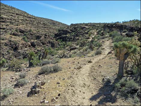
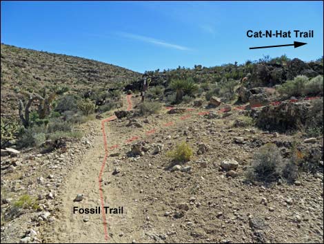
The trail runs at moderate grades for 1.04 miles to a trail junction with the Cat-N-Hat Trail (Wpt. 02). Staying left, the Fossil Trail contours east across the hillside heading for the toe of brown Timpoweap Conglomerate crags. The Cat-N-Hat Trail runs parallel to the Fossil Trail and will rejoin the Fossil Trail about 0.9 miles ahead. In another 0.19 miles, below the brown crags, the Fossil Trail reaches a junction with Rock Garden Trail (Wpt. 03). Rock Garden Trail runs back towards the trailhead and makes for a scenic 2-1/2-mile loop. Staying right on Fossil Trail, the trail climbs a few yards onto the crest of Fossil Ridge and overlooks Fossil Canyon. The Fossil Canyon Route is in the bottom of the canyon. Staying on the ridge and turning up Fossil Canyon, the trail runs along limestone ledges beneath the conglomerate crags. While not dangerous, hikers need to pay attention along the edge and find a good place to step off the trail if the Cowboy Trail Rides come along. |
 |
Following the edge of the Fossil Canyon gorge, the trail runs southeast to a junction with the upper end of Cat-N-Hat Trail (Wpt. 04). Shortly beyond Cat-N-Hat Trail, Fossil Canyon becomes little more than a wash, and the trail runs up one side or the other of the wash. There are two places where the trail switchbacks to avoid steep sections, but there are more for the benefit of bike riders than hikers. Near the top of Fossil Canyon, Fossil Trail arrives at a junction with First Finger Trail (Wpt. 05). First Finger Trail forks hard back to the left, while Fossil Trail continues up the canyon still heading south. In another 30 yards or so, Fossil Trail ends at a trail junction with Jeep Trail (Wpt. 06). From the end of Fossil Trail, hikers either walk back to the trailhead or continue onward following one of the other Blue Diamond Hill Bike Trails. |
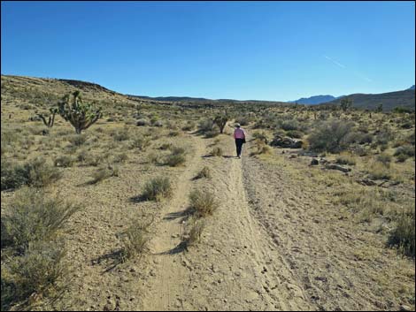
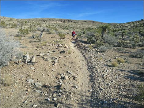
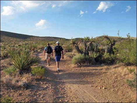
 Hikers on Fossil Trail (view S) |
 Multiple trailing: horses and bikers are terrible about this (view S) |
 Multiple trailing: horses and bikers are terrible about this (view S) |
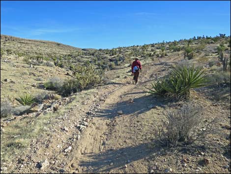
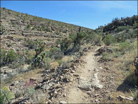
 Multiple trailing: trail starts to look like a road (view S) |
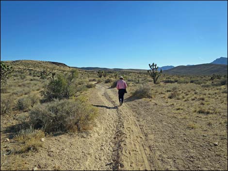
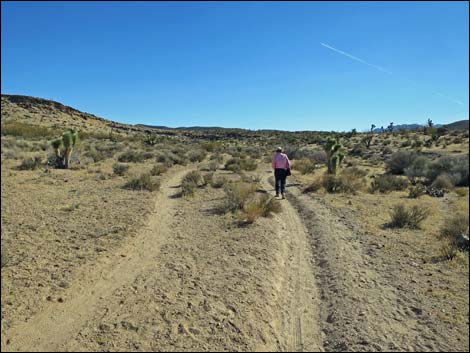
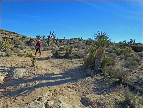
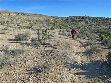
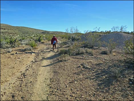
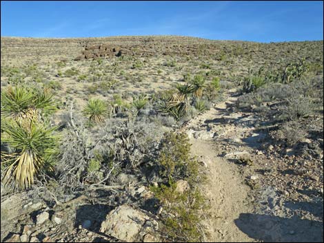
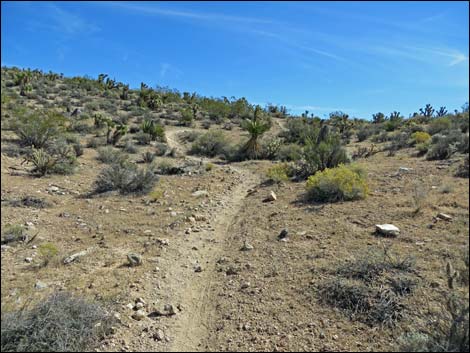
 Hiker starting onto the flanks of Blue Diamond Hill (view S) |
 Rocky bit passing conglomerate outcrop (view SW) |
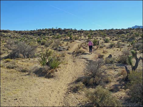
 Hiker passing conglomerate outcrop (view S) |
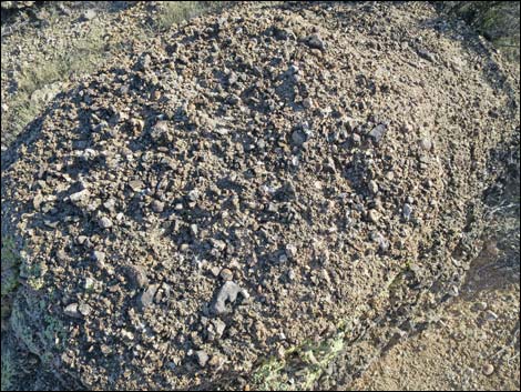 Conglomerate rocks along trail |
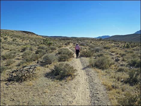
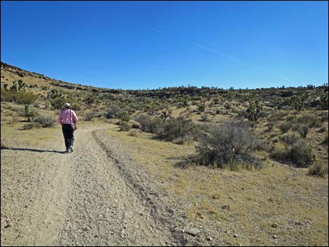
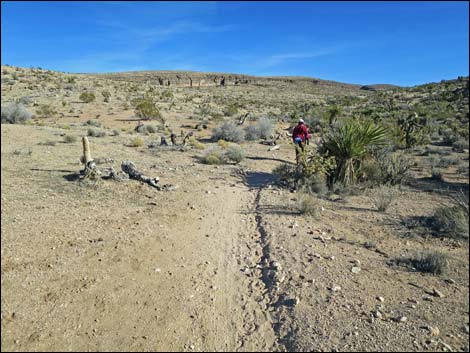
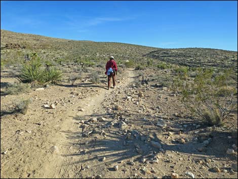
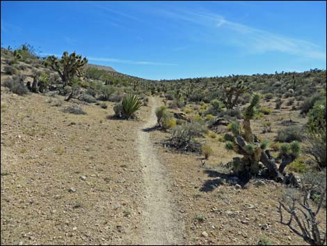
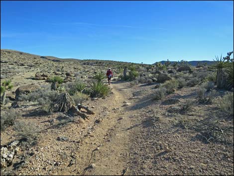 Hiker on Fossil Trail (view S) |
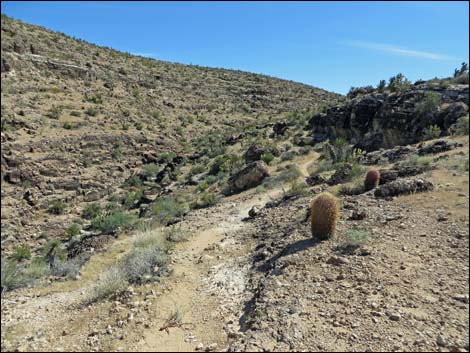
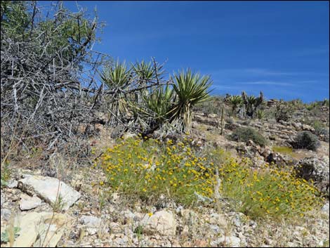
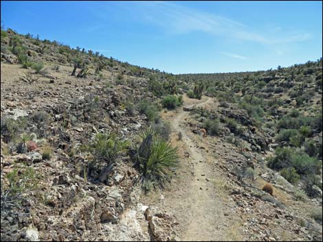
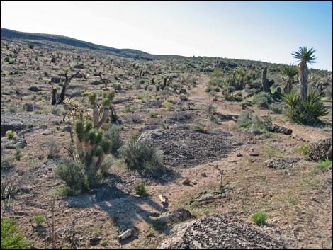 Trail passes edge of 2005 fire (view S; 2009) |
 |
 |
 Fairly gentle slope ... |
 ... and fairly steep slope |
 |
 |
 |
 |
 |
 |
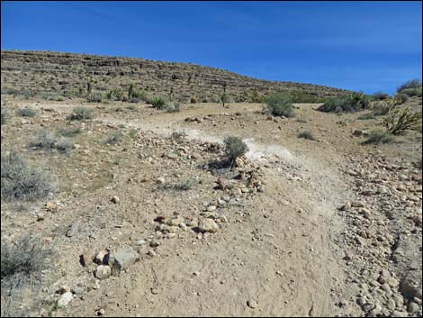
 Lower Cat-N-Hat trail junction (view SE) |
 Cat-N-Hat trail junction (view E) |
 Beyond Cat-N-Hat, heading towards conglomerate crags (view E) Beyond Cat-N-Hat, heading towards conglomerate crags (view E) |
 Approaching Timpoweap Conglomerate crags (view E) |
 Climbing below Timpoweap Conglomerate crags (view E) |
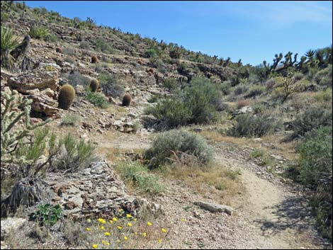
 Fossil Trail approaching Rock Garden Trail (view SE) |
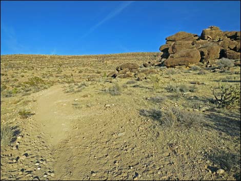
 Rock Garden trail junction (view SE) |
 Fossil Trail at Fossil Canyon Trail (view SE) |
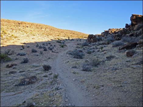
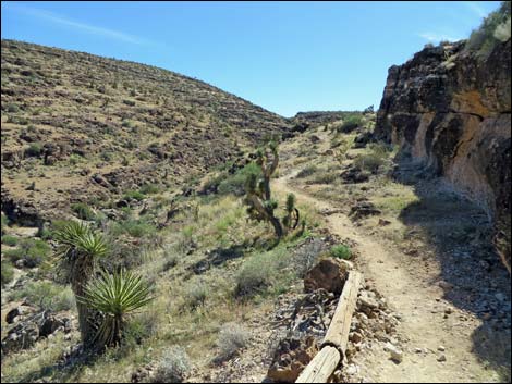
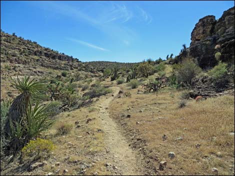
 Trail runs up into Fossil Canyon (view SE) |
 Trail runs onto limestone ledges above Fossil Canyon |
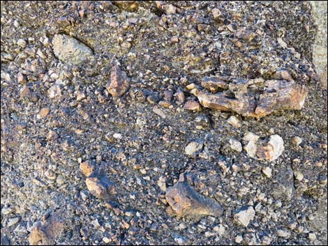 Timpoweap Conglomerate |
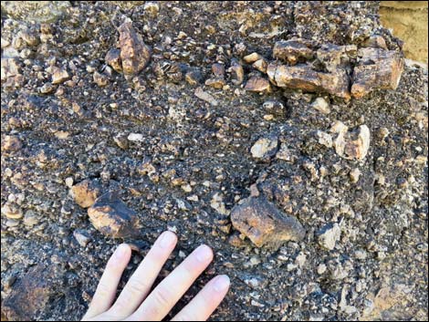 Timpoweap Conglomerate |
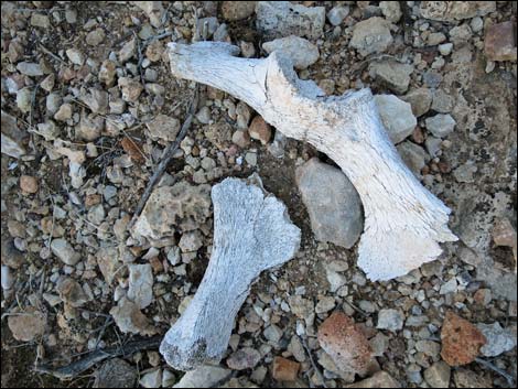 Sheep or burro bones; life in the desert is harsh |
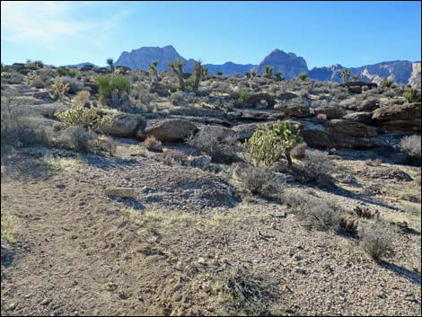
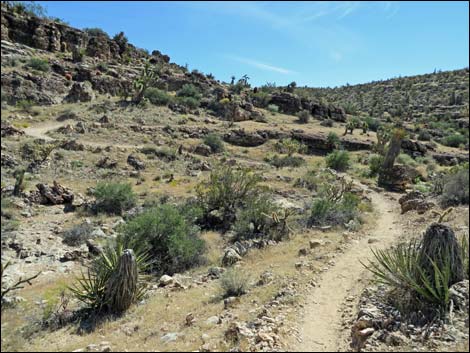
 Fossil Trail runs across cliffs above Fossil Canyon (view SE) |
 |
 |
 Fossil Trail (view SE) |
 Upper Cat-N-Hat trail junction (view SE) |
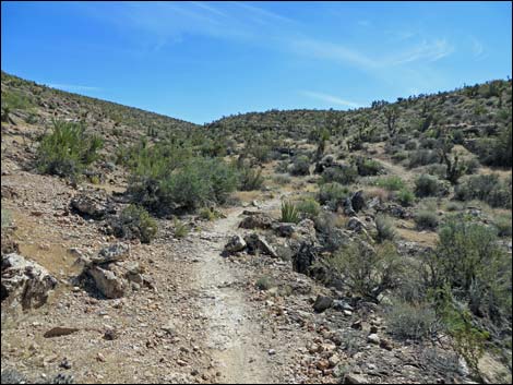
 Trail runs up into Fossil Canyon (view SE) |
 Approaching first switchbacks (view SE) |
 First switchbacks (view SE) |
 Beyond first switchbacks (view SE) |
 Five-needle Prickly Leaf in bloom Five-needle Prickly Leaf in bloom |
 Fossil Trail (view SE) |
 Approaching second switchbacks (view SE) |
 Switching back (view NE) |
 |
 |
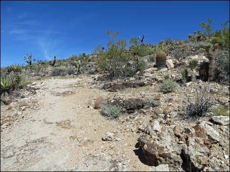
 Fossil Trail approaching the top of the canyon (view SE) |
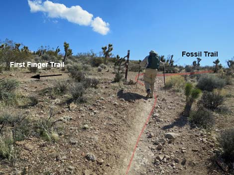 First Finger trail junction (view S) |
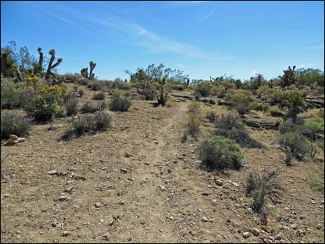 Trail runs up into Fossil Canyon (view S) |
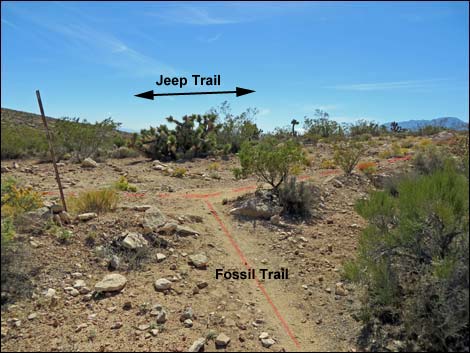 Jeep Trail trail junction (view S) |
Table 1. Hiking Coordinates Based on GPS Data (NAD27; UTM Zone 11S). Download Hiking GPS Waypoints (*.gpx) file.
| Wpt. | Location | Easting | Northing | Elevation (ft) | Point-to-Point Distance (mi) | Cumulative Distance (mi) | Verified |
|---|---|---|---|---|---|---|---|
| 01 | Trailhead | 641052 | 3998352 | 3,705 | 0.00 | 0.00 | GPS |
| 02 | Junction, Cat-N-Hat Trail (lower) | 641654 | 3997055 | 4,005 | 1.04 | 1.04 | GPS |
| 03 | Junction, Rock Garden Trail | 641888 | 3997083 | 4,076 | 0.19 | 1.23 | GPS |
| 04 | Junction, Cat-N-Hat Trail (upper) | 642262 | 3996606 | 4,254 | 0.39 | 1.62 | GPS |
| 05 | Junction, First Finger Trail | 642919 | 3995982 | 4,426 | 0.63 | 2.25 | GPS |
| 06 | Junction, Outer Trail | 642924 | 3995944 | 4,431 | 0.03 | 2.28 | GPS |
Happy Hiking! All distances, elevations, and other facts are approximate.
![]() ; Last updated 240329
; Last updated 240329
| Hiking Around Red Rocks | Hiking Around Las Vegas | Glossary | Copyright, Conditions, Disclaimer | Home |