Hiking Around Las Vegas, Red Rock Canyon NCA, Blue Diamond Hill
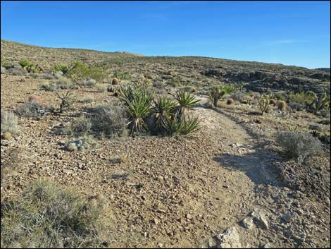
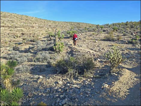
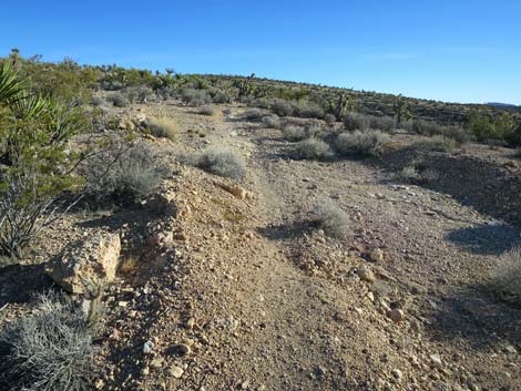
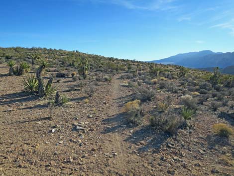
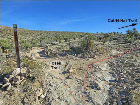 Fossil Trail at Cat-N-Hat Trail (view SE) |
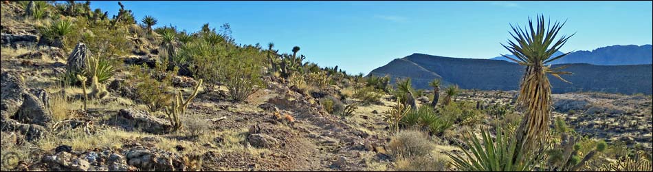
Overview The Cat-N-Hat Trail is one of the Blue Diamond Hill Bike Trails. This trail runs parallel to the Fossil Trail for 0.51 miles and provides a steeper alternative to the Fossil Trail that avoids travel along the steep edge of Fossil Canyon. This hike is in Mojave Desert Scrub country with lots of cactus, birds, and lizards. See the Blue Diamond Hill Bike Trail Overview for details. Link to trail map. |
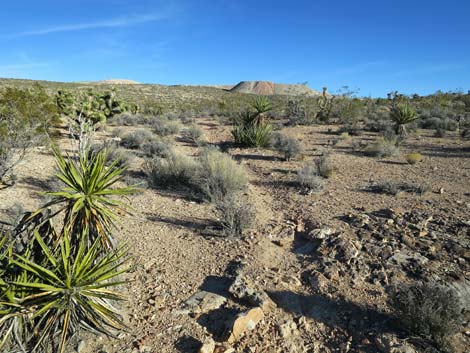
 Cat-N-Hat Trail (view SE from Fossil Trail) |
Watch Out Other than the standard warnings about hiking in the desert, ...this is a fairly safe trail. The Blue Diamond Hill Trails were designed for mountain bikes, so the grades are generally easy (this trail is steeper than most on this part of the hill), but watch for bikers careening down the trail. While hiking, please respect the land and the other people out there, and try to Leave No Trace of your passage. Also, even though this hike is short, be sure to bring what you need of the 10 Essentials. Getting to the Trailhead This hike is located in Red Rock Canyon National Conservation Area, about 30 minutes from town, but not on the Scenic Loop Road. Drive out West Charleston Blvd, past the entrance to the Scenic Loop Drive, to the Cowboy Trail Rides Trailhead on the left. Park here; this is the trailhead. |
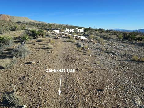
 |
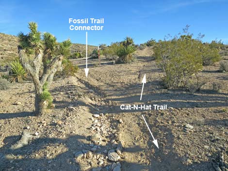
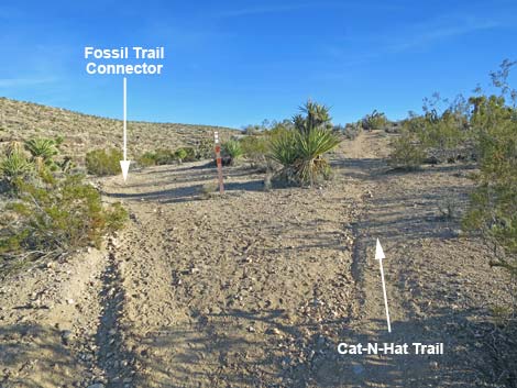
The Hike From near the middle of the Fossil Trail (Wpt. 02), at a point shortly before reaching the edge of Fossil Canyon, the Cat-N-Hat Trail forks off to the right and runs south, eventually climbing onto the top of the ridge. After leveling out, this trail forks (Wpt. 08). The left fork runs about 0.1 miles to reconnect with the Fossil Trail at a point beyond the precipitous edges of Fossil Canyon (Wpt. 04). The right fork continues up the ridge until reaching another trail junction (Wpt. 43). Here, hikers can take either fork because both continue up the right to connect with the Jeep Trail (Wpt. 44). From the end of the Cat-N-Hat Trail, consider turning around and walking back to the trailhead, making a loop back down the Fossil Trail, or continuing up on one of the other Blue Diamond Hill Bike Trails. |
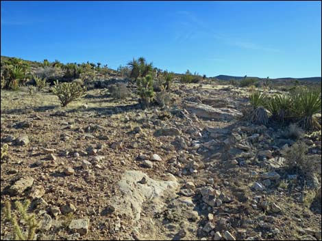
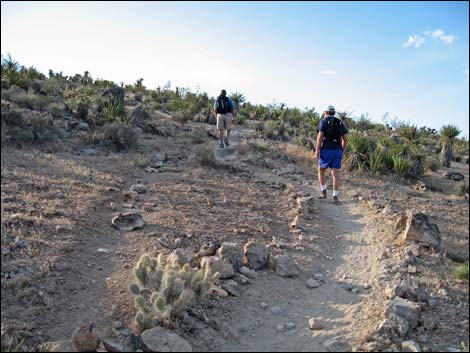
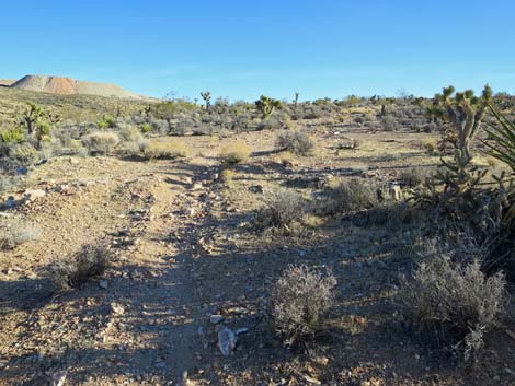
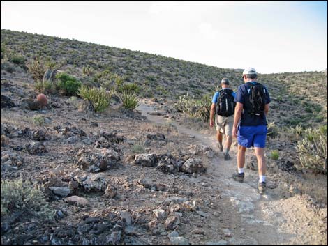 Hikers on Fossil Trail (view SE) |
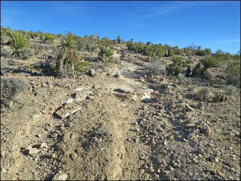
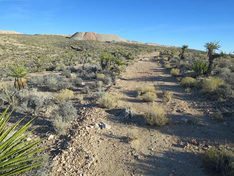
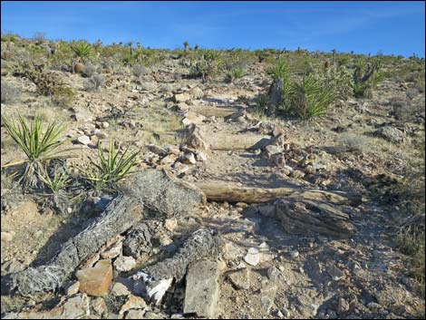 Erosion control on Cat-N-Hat Trail (view SE) |
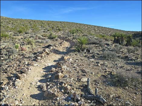
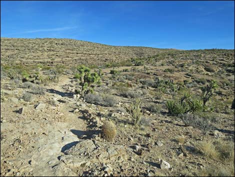
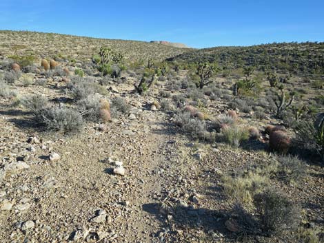
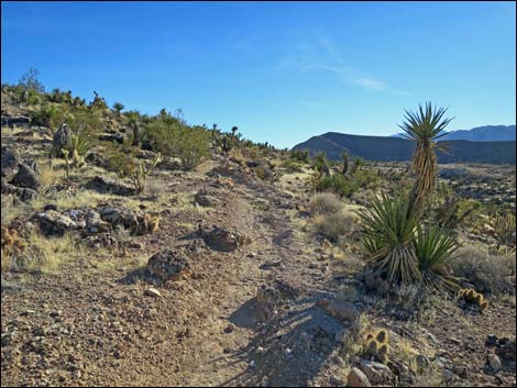 Cat-N-Hat Trail begins to level out (view SE) |
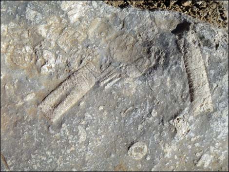
 Fossils in boulder along trail |
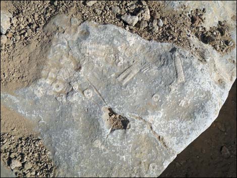
 Crinoid fossils in boulder along trail |
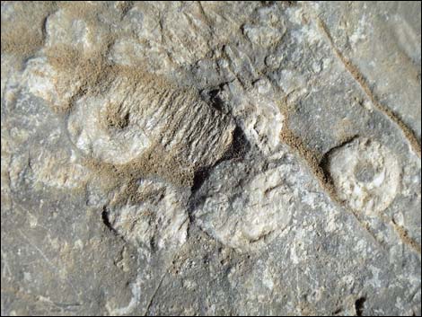 Crinoid fossils in boulder along trail |
 Cat-N-Hat Trail gets steep again (view SE) |
 Cat-N-Hat Trail gets steep again (view SE) |
 Cat-N-Hat Trail levels out (view SE) |
 Cat-N-Hat Trail levels out and bends more east (view SE) |
 Cat-N-Hat Trail approaching trail junction (view SE) |
 Cat-N-Hat Trail at trail junction (view SE) |
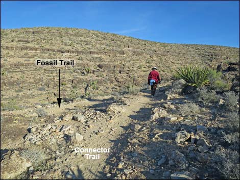
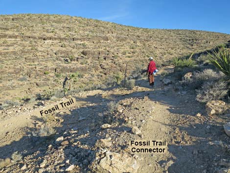
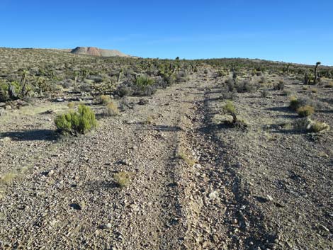
Fossil Trail Connector
 Cat-N-Hat Trail cresting ridge into Fossil Canyon (view SE) |
 Cat-N-Hat Trail approaching Fossil Trail (view SE) |
 Cat-N-Hat Trail at Fossil Trail (view SE) |
 More to come ... |
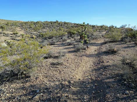
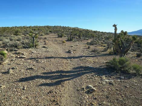
Upper Cat-N-Hat Trail
|
 |
 |
 |
 Cat-N-Hat Trail (view SE) |
 Cat-N-Hat Trail forks (view SE) |
 Cat-N-Hat Trail, right fork (view S) |
 Cat-N-Hat Trail, left fork (view SE) |
 Cat-N-Hat Trail, left fork (view SE) |
 Cat-N-Hat Trail, left fork (view SE) |
 Cat-N-Hat Trail, left fork, at Jeep Trail (view SE) |
More to come ... |
Table 2. Hiking Coordinates Based on GPS Data (NAD27; UTM Zone 11S). Download Hiking GPS Waypoints (*.gpx) file.
| Wpt. | Location | UTM Easting | UTM Northing | Elevation (ft) | Point-to-Point Distance (mi) | Cumulative Distance (mi) |
|---|---|---|---|---|---|---|
| 02 | Trail Junction | 641654 | 3997055 | 4,005 | 0.00 | 0.00 |
| 08 | Trail Junction | 642183 | 3996627 | 4,235 | 0.46 | 0.46 |
| 43 | Cat-N-Hat Junction | 642594 | 3996106 | 4,401 | 0.45 | 0.91 |
| 44 | Cat-N-Hat at Jeep Trail | 642820 | 3995935 | 4,444 | 0.20 | 1.11 |
Happy Hiking! All distances, elevations, and other facts are approximate.
![]() ; Last updated 240329
; Last updated 240329
| Hiking Around Red Rocks | Hiking Around Las Vegas | Glossary | Copyright, Conditions, Disclaimer | Home |