Hiking Around Las Vegas, Spring Mountains NRA
 Carole Lombard crash site |
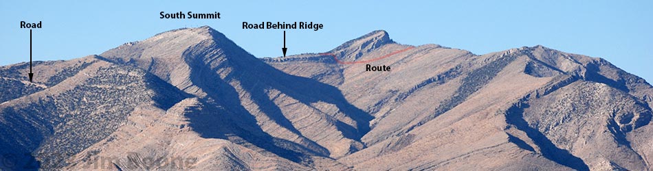
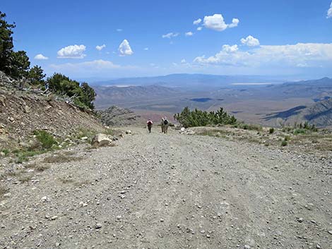
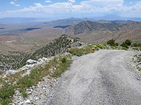
Overview In 1942, a plane carrying Carole Lombard (famous movie star and wife of Clark Gable) crashed high on the east face of Mt. Potosi. The site is now a footnote in history, visited occasionally by plane crash buffs, Carole Lombard fans, and strong Las Vegas hikers. The traditional route, the road serving communication towers near the summit, is now gated at the bottom of the mountain. The road makes for a long, extremely steep, and very hot walk, but hikers are free to trudge the 3.4-mile road, then descend 0.5-miles to the crash site. This route is so hot and steep that many hikers prefer the shorter, but much more difficult direct route up the east face of the mountain. Take note: strong hikers have been forced to turn back from this "road." Presented here are photos of the return because it always looks different on the way down. For a detailed description of the route, including directions, maps, GPS coordinates, and photos, see Carole Lombard Crash Site via Mt. Potosi Road. |
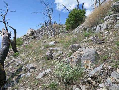
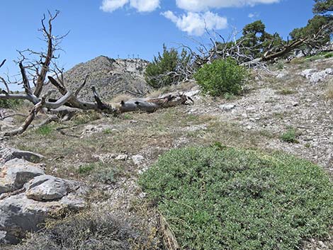
 Upper debris field (view NW) |
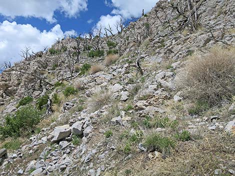
 Gully bypass north of cliffs (view W) |
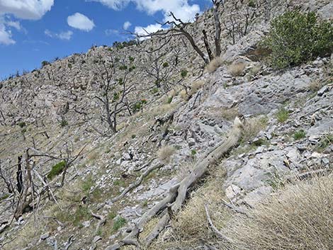
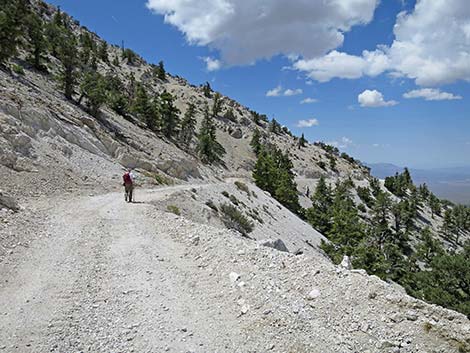
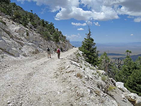
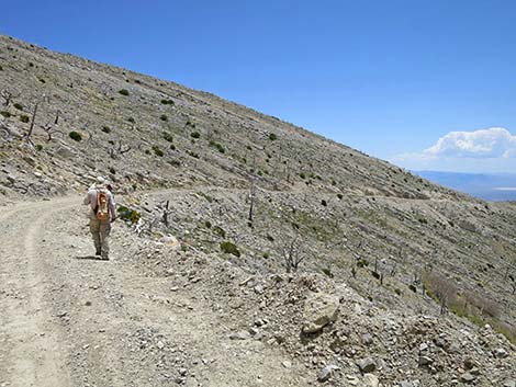
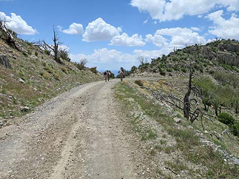
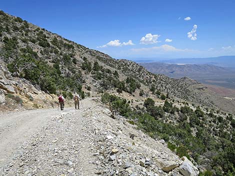
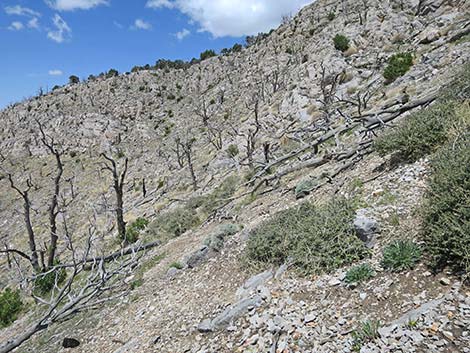 Route traverses rocky, burned slopes (view W) |
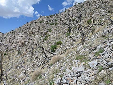
 Route traverses rocky, burned slopes (view W) |
 |
 |
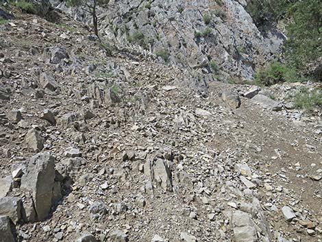
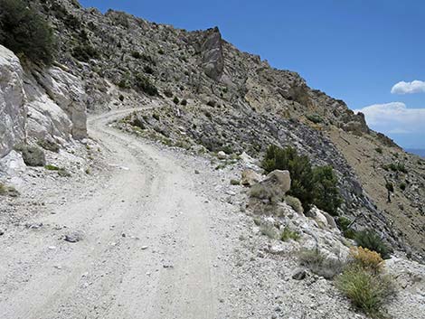
 Route ascends steep, rocky gully (view W) |
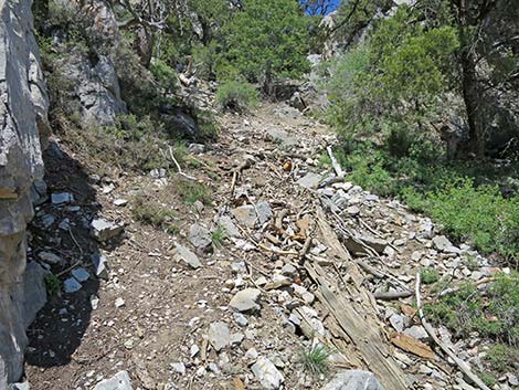
 Route approaching top of steep, rocky gully (view W) |
 Route at top of steep, rocky gully (view W) |
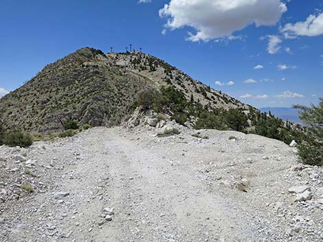
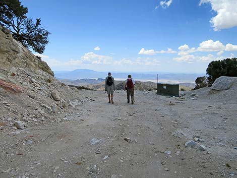
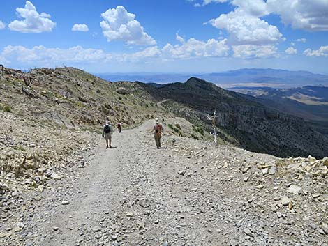
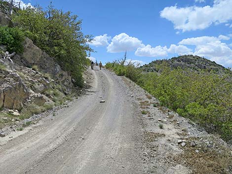
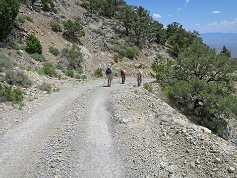
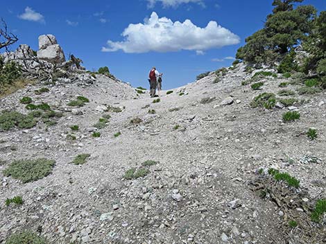 Hikers returning to the ridgeline (view W) |
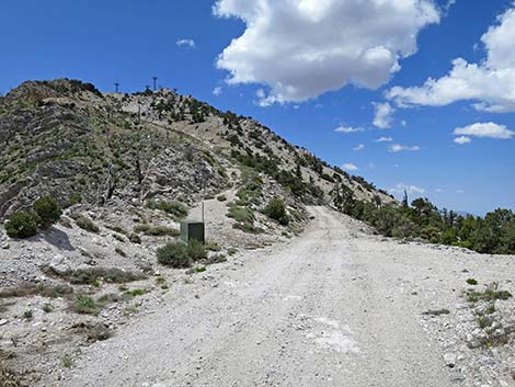
 Hikers dropping off ridgeline to the road (view NW) |
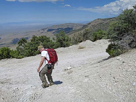
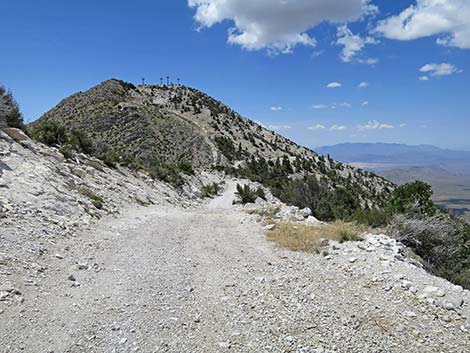
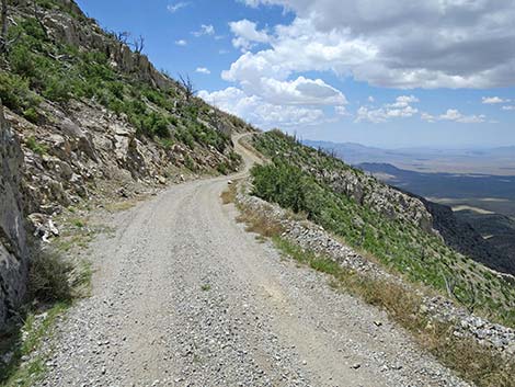
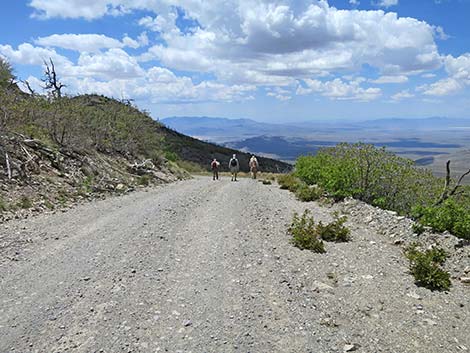
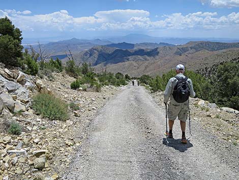
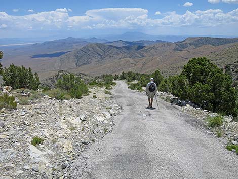
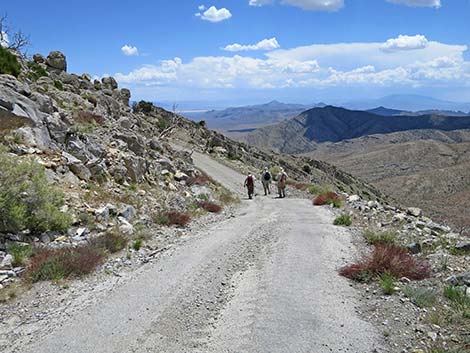
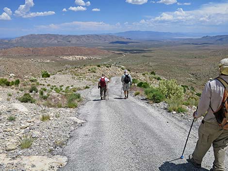
 Starting down Mt. Potosi Road (view SW) |
 |
 |
 |
 |
 |
 |
 |
 |
 |
 |
 |
 |
 |
 |
 |
 |
 |
 |
 |
 |
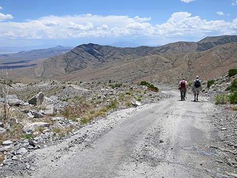
 Route at start of paved parts of the road (view S) |
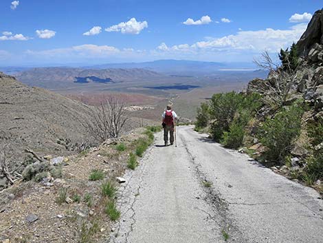
 Hiker descending paved part of the road (view S) |
 |
 |
 |
 |
 |
 |
 |
 |
 |
 |
 |
 |
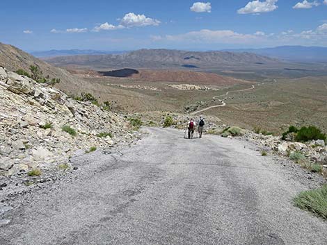
 Hikers starting into the steepest gully (view SE) |
 Hikers near bottom of the steepest gully (view SE) |
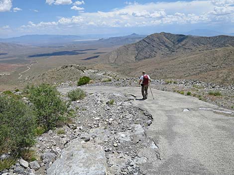
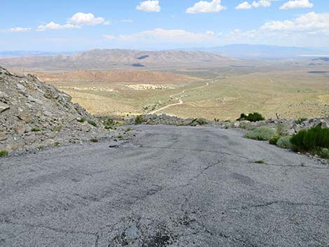
 End of the pavement below steepest gully (view SE) |
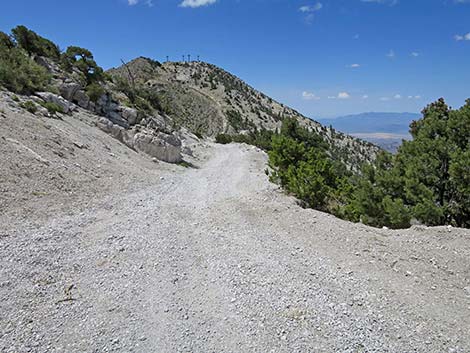
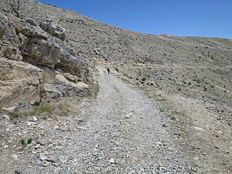
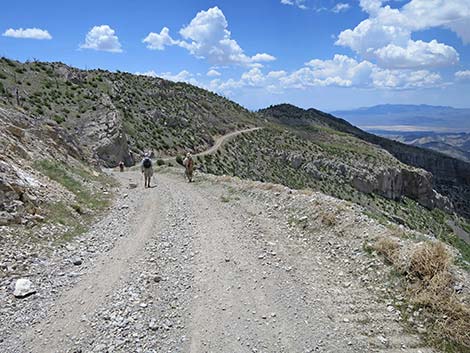
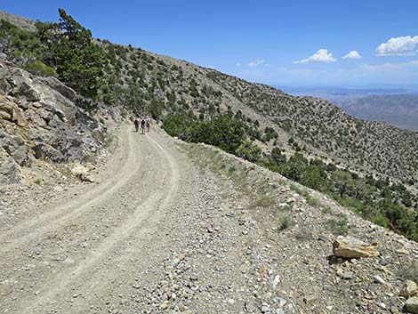
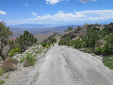
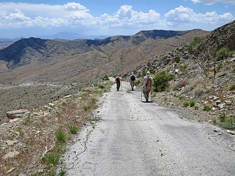
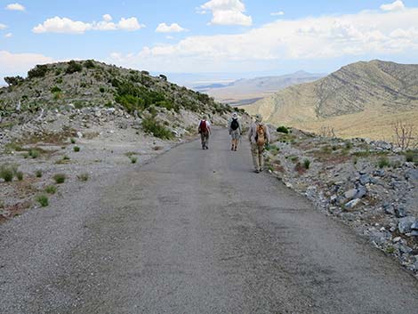
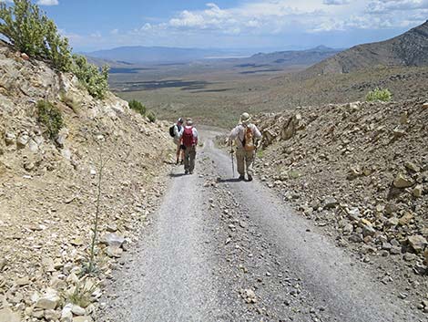
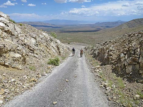
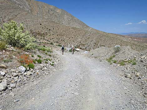 Hikers on the road (view E) |
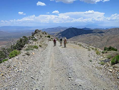
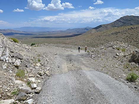
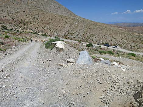 Hikers approaching the trailhead (view E) |
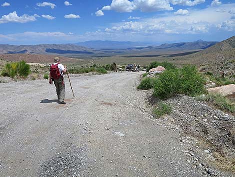 Hiker approaching the trailhead (view SE) |
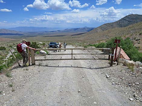 Hiker passing trailhead gate (view SE) |
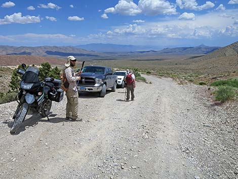 Hikers at the trailhead (view SE) |
Happy Hiking! All distances, elevations, and other facts are approximate.
![]() ; Last updated 240330
; Last updated 240330
| Hiking Around Las Vegas | Glossary | Copyright, Conditions, Disclaimer | Home |