Hiking Around Las Vegas, Spring Mountains NRA
 Approaching Mt. Potosi |
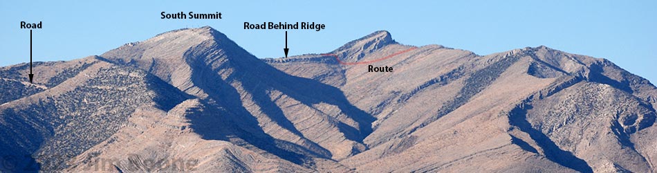
Overview In 1942, a plane carrying Carole Lombard (famous movie star and wife of Clark Gable) crashed high on the east face of Mt. Potosi. The site is now a footnote in history, visited occasionally by plane crash buffs, Carole Lombard fans, and strong Las Vegas hikers. The traditional route, Mt. Potosi Road that serves communication towers near the summit, is now gated at the bottom of the mountain. The road makes for a long, extremely steep, and very hot walk, but hikers are free to trudge the 3.4-mile road, then descend 0.5-miles to the crash site. This route is so hot and steep that many hikers prefer the shorter, but much more difficult direct route up the east face of the mountain. Take note: strong hikers have been forced to turn back from this "road." The crash site has been picked over for decades, and someone cleared the entire base of the impact wall (during 2022?), but much material remains [photos], including small bits of human remains. Please respect the site and the memory of those who died here. Link to overview map, or hiking map. |
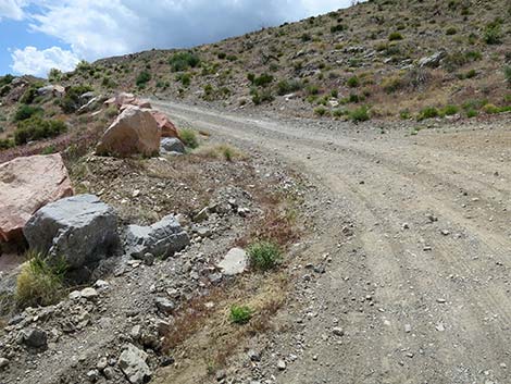
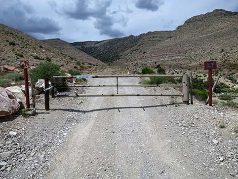 Trailhead gate (view N) |
Watch Out Other than the standard warnings about hiking in the desert, ... this hike is on the steep and sunny side of the mountain, so bring plenty of water. Off the road, be careful of falls and loose rocks, but there are no unusual hazards. Be careful on the Class-2 scramble through the cliffs too. Some metal shards at the crash site have sharp, rusty edges. Most of the hike is in full sun, and as such, should be avoided during warm weather. While hiking, please respect the land and the other people out there, and try to Leave No Trace of your passage. This is a tough hike, so be sure to bring the 10 Essentials. Make sure this route of the appropriate difficulty for your skills. Cell phones work from some parts of the route. |
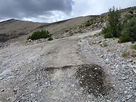
 Don't try to ram and knock-down the gate (view W) |
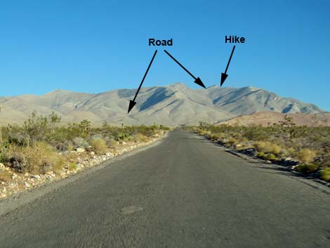
Getting to the Trailhead This hike is located on the east side of Mt. Potosi, about 1 hour southwest of Las Vegas. From Las Vegas, drive south on Interstate-15 to Jean (Table 1, Site 1370). Exit the interstate and turn right onto Highway 161 (signs to Goodsprings and Sandy Valley). Drive northwest towards Goodsprings and the Pioneer Saloon (Site 1367) for 5.5 miles to a T-intersection (Site 1976) with the paved Goodsprings Bypass Road. Turn right onto Goodsprings Bypass Road (Site 1976) and drive northwest 6.2 miles to a major fork (Site 1371) near the base of the mountains. The pavement, to the right, runs through a gate and out to a gravel pit, while the dirt road to the left is Mt. Potosi Road. Mt. Potosi Road is a graded dirt road used by workers servicing communications towers on the mountain, so they have incentive to keep the road drivable, but it should be considered a 2WD-HC road. Continue 2.0 miles on the dirt road to a heavy gate (Site 1369). Park here; this is the trailhead. |
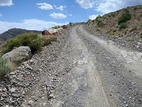
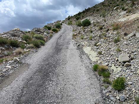
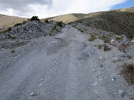
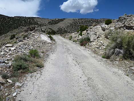
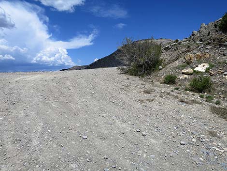
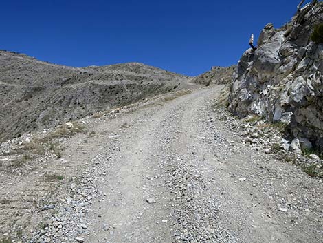
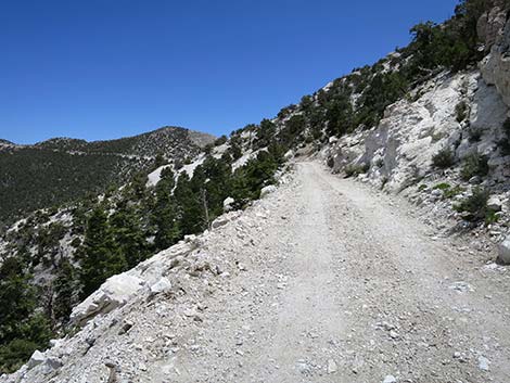
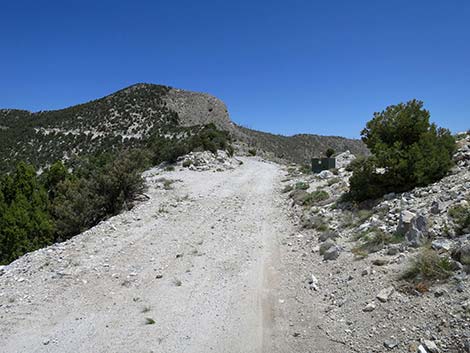
 The route follows the road up across the hillside (view NW) |
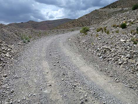
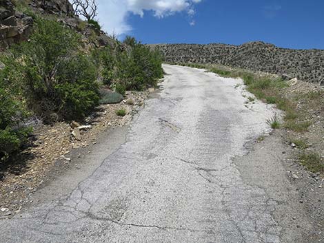
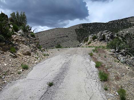
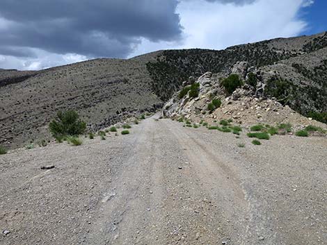
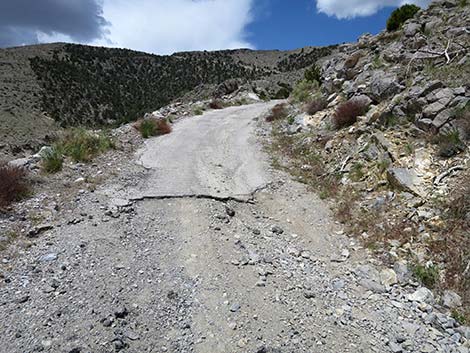
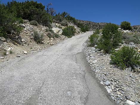
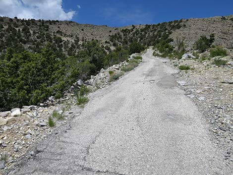
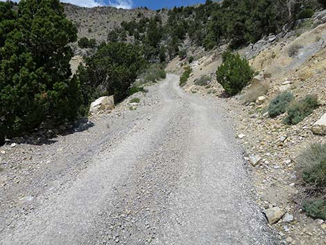
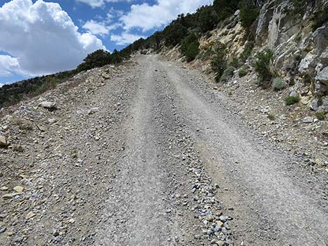
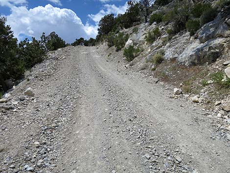
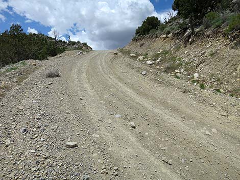
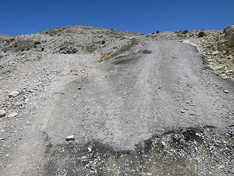
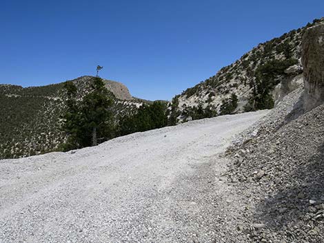
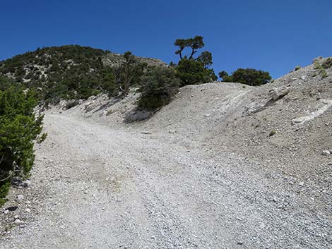
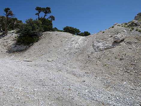
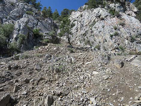
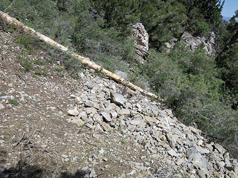
The Hike From the trailhead gate (Table 2, Waypoint 01) on Mt. Potosi Road, the route follows the steep dirt road up and left onto the mountain. Parts of the road are extremely steep, so steep that some parts are paved to improve traction for utility trucks servicing communications towers atop the mountain. This area burned in 2005 during the hot Goodsprings Fire (33,484-acres), and after nearly 20 years, there is little if any shade. After the first two bends on Mt. Potosi Road, about 0.1 miles out, the pavement starts where a steep gully was blasted and bulldozed into the ridgeline. This section, about 0.12 miles long, is the steepest part of the hike, climbing 150 vertical feet in 610 feet -- a 25% slope. Mt. Potosi Road continues, mostly paved out to about 1.0 miles where a short bit of nearly level roadway is a welcome relief. The mostly steep road continues to about 1.6 miles out where the grades become more reasonable. After climbing nearly 2,000 feet in 1.6 miles, the pavement ends and the rest of the road continues, mostly as gravel, at what seem like easy grades. |
 Boulders block trucks from driving around the gate (view W) |
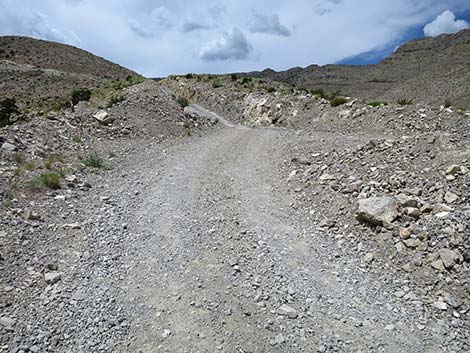
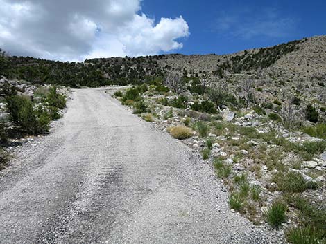
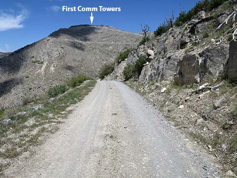
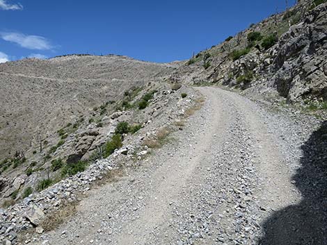
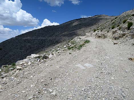
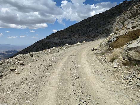
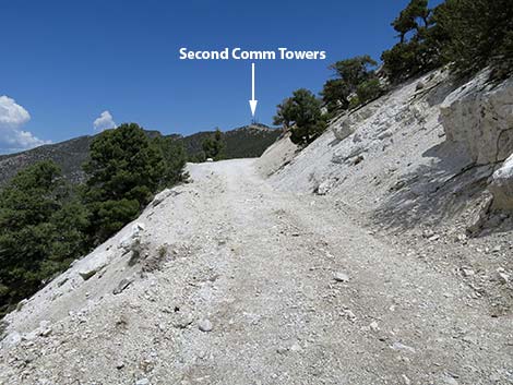
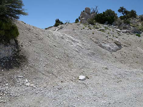
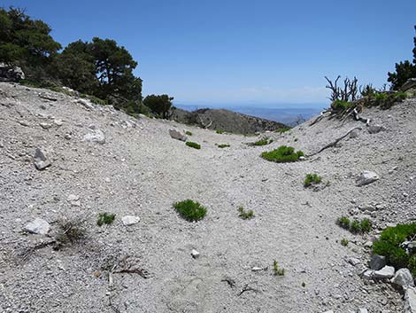
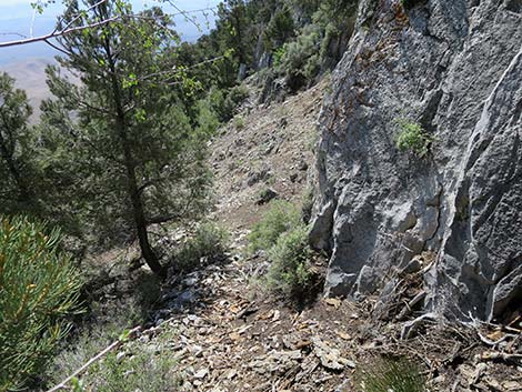
At about 1.8 miles out, Mt. Potosi Road transitions from south-facing slopes to west-facing slopes with grand views out across Pahrump to the high peaks in Death Valley National Park. After a fairly steep bit of gravel road, at about 2.25 miles out, the road forks (Wpt. 02). Mt. Potosi Road stays left, while the right fork (with a bit of pavement) runs up to a peak on the ridge with communications towers. I've seen this peaklet referred to as South Potosi Peak. Hikers can bag this peak, then continue north on an old road that descends back to Mt. Potosi Road. Staying left on the main road, the route runs across open, south-facing slopes below South Potosi Peak until turning a corner and crossing onto another west-facing slope. This is also the edge of the Goodsprings Fire, so the road runs into an open forest of Singleleaf Pinyon Pine and White Fir, with a few Utah Juniper mixed in. At about 3.26 miles out, the old road that descends off the north ridge of South Potosi Peak returns to the main road. |
 |
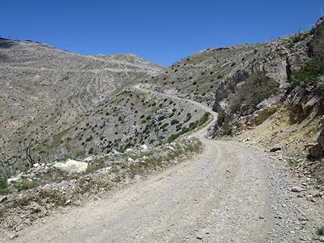
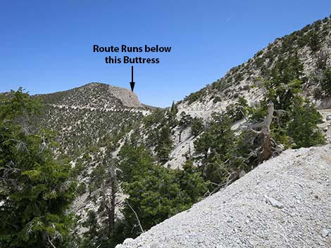
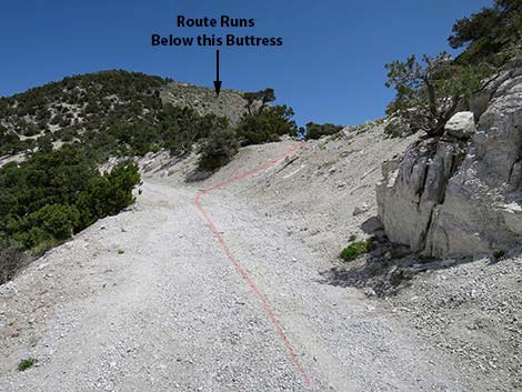
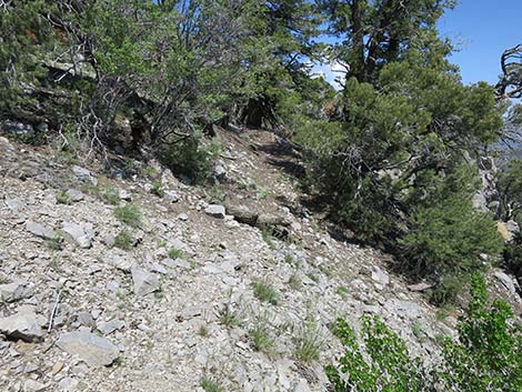
By 3.42 miles out (Wpt. 03), Mt. Potosi Road has been running at a gentle grade high on the west side of the summit ridge, just below the ridgeline. As the road approaches the next peaklet, which also has communication towers, the road leaves the ridgeline and climbs across west-facing slopes. Just past a wide spot in the side of Mt. Potosi Road, a wide and well-worn path climbs to the right a few feet onto the crest of the ridge (Wpt. 03). What appeared as a well-worn path was a mirage: there is no path to the crash site, not even a use-trail. From the crest of the ridge (a few steps east of Wpt. 03), the route runs east a few more yards to the edge of a cliff, then turns left and runs north into a gully that permits Class-2 scrambling down through the cliffs. Before descending off the cliff, look ahead to the east-northeast about 150 yards and notice the limestone buttress that blocks views to the left. A bit below eye-level, the route passes the toe of the outcrop (Wpt. 04). |
 |
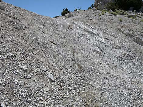
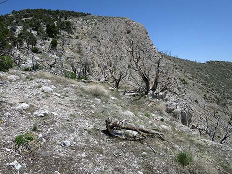
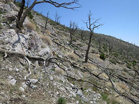
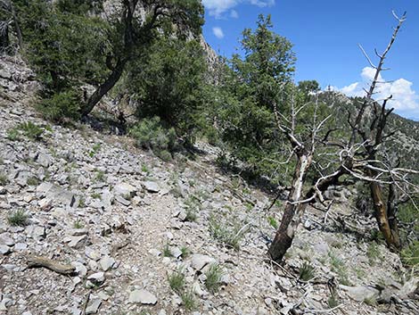
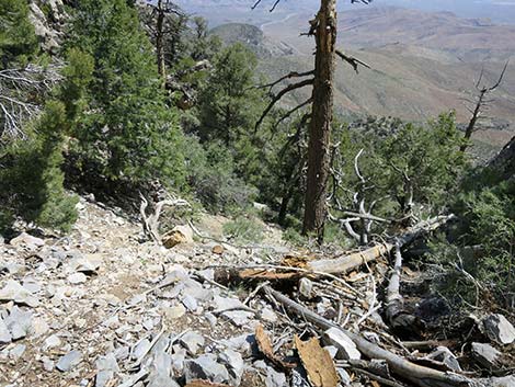
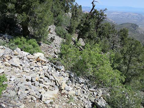
After descending the gully, the route drops across the steep hillside with lots of loose rocks to pass the toe of the limestone buttress (Wpt. 04). From there, the route climbs towards the ridgeline to the northwest. This area burned in the Goodsprings Fire, and there are many burned and fallen trees on the hillside that hikers need to wind around. In addition, the landscape is almost entirely covered with dense, stiff-stemmed shrubs (Mojave Ceanothus), so weaving up and across the hillside is anything but straightforward or easy. Climbing onto the ridgeline (Wpt. 05), the route turns northwest along the top of the cliffs. The aircraft impacted the cliff below, and most of the debris field spreads out down the slope below, but some was thrown to this point above the cliff. |
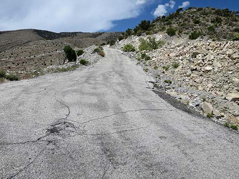
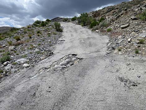
 On this route, pavement means very steep grades (view N) |
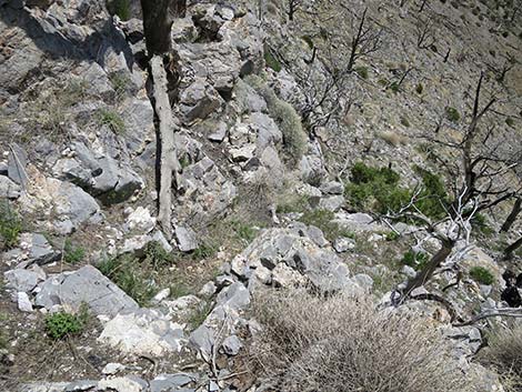
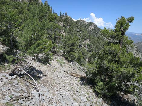
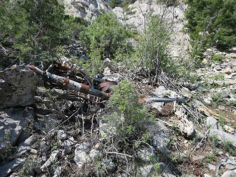
Turning northwest, the route continues atop the cliff until angling down through a broken area in the cliffs (Wpt. 06) to a broad gully. Hikers want to be sure to hike all the way to the gully before starting down. There are some faint use-trails in this area. In the broad gully, the route descends very steeply, and hikers should be careful and avoid dislodging rocks that might fall on hikers below. Before arriving at the bottom of the cliff, if desired, hikers can detour to the right onto a broad ledge with trees and great views down across the crash site and out across the mountains and valleys to the east. At the bottom of the cliff, the steep gully opens onto the crash site (Wpt. 07). From the base of the gully, the impact site is a few yards southeast along the cliff, not far up the cliff face. Follow the broad gully downhill to see the remaining debris. The larger parts are in the gully stretching out below the impact site. Return to the trailhead by following your footprints back to the trailhead. |
 This road-cut gully is surprisingly steep (view N) |
 Exiting the road-cut gully (view N) |
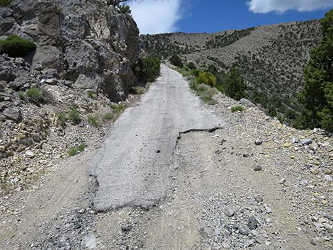
 The paved road remains surprisingly steep (view N) |
 The paved road remains surprisingly steep (view N) |
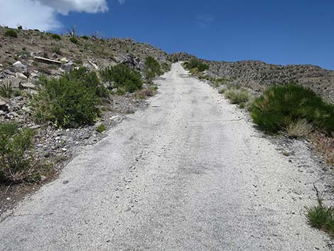
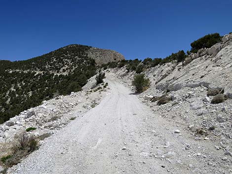
 Paved, but more reasonable grades (view NW) |
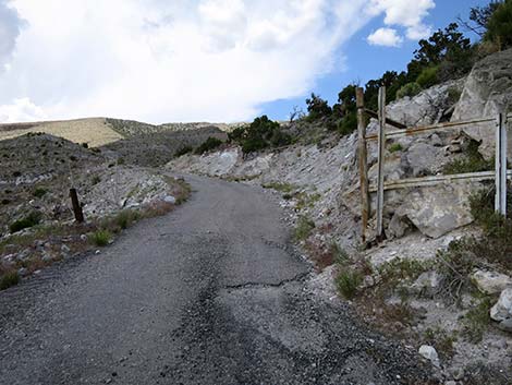 The road passes an old gate (view N) |
 The paved road remains surprisingly steep (view N) |
 A bit of unpaved road (view N) |
 |
 |
 |
 |
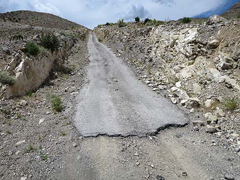
 The pavement ends (view N) |
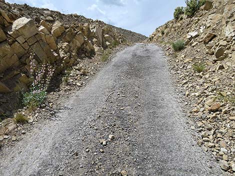
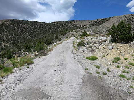
 On this road, unpaved sections run at reasonable grades (view NW) |
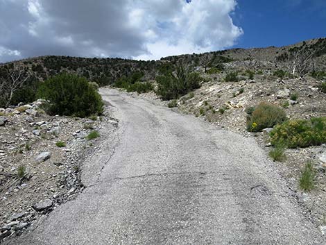
 Another section of steep paved road (view N) |
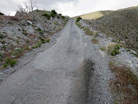
 The paved road remains surprisingly steep (view N) |
 |
 |
 |
 |
 |
 |
 The paved road remains steep (view N) |
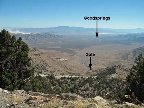 Goodsprings (view SE down the steep hillside) |
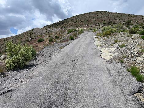
 The pavement starts to thin (view NW) |
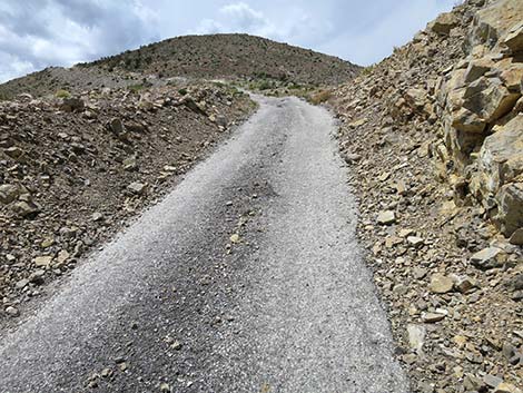
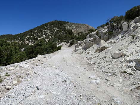
 The rest of the main road runs at reasonable grades (view NW) |
 |
 |
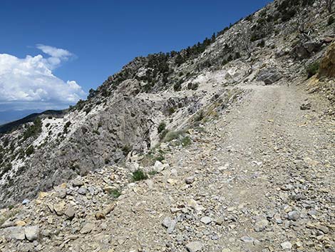
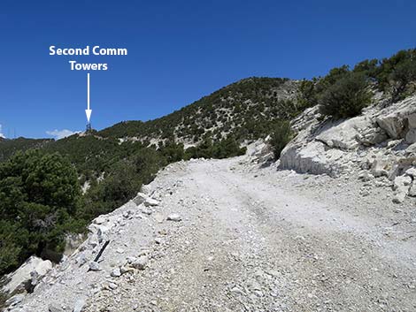
 Comm Towers atop South Potosi come into view (view NE) |
 A bit of downhill and more uphill at "gentle" grades (view NE) |
 |
 |
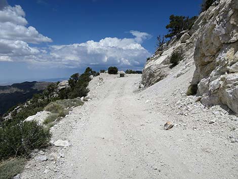
 Road forks: main road left, South Potosi comm towers right (view NE) |
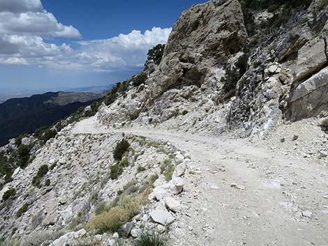
 The main road traverses slopes below South Potosi comm towers |
 The road runs at reasonable grades (view NW) |
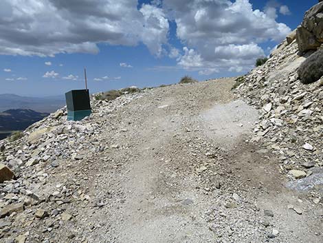 Power box on the outside edge of the road (view NW) |
 |
 |
 |
 |
 |
 |
 |
 |
 |
 |
 |
 |
 Approaching the turn-off point (view NE) |
 The road arrives at the turn-off point (view NE) |
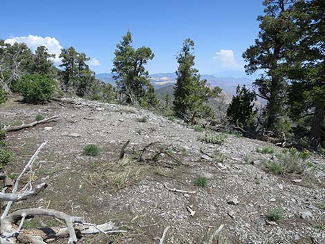
 Apparent wide and well-worn path (view E from road) |
 Apparent wide and well-worn path (view E from road) |
 Apparent wide and well-worn path (view E from road) |
 Apparent wide and well-worn path (view E) |
 Well-worn path ends at edge of cliff (view NE) |
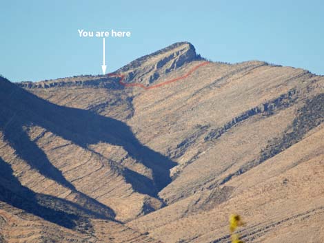 Overview: upper route (telephoto view from Goodsprings) |
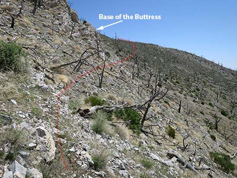
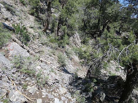
 Looking ahead to base of limestone buttress (view NE from atop cliffs) |
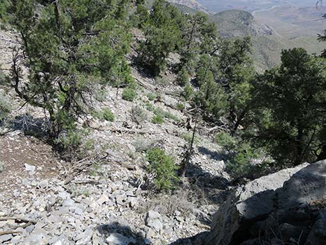
 Route descends steep gully through cliffs (view down and NE) |
 Steep hillside with loose rocks below gully (view E) |
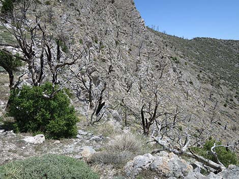
 Route crosses below limestone buttress (view E) |
 Base of the limestone buttress (view E) |
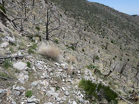
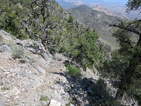
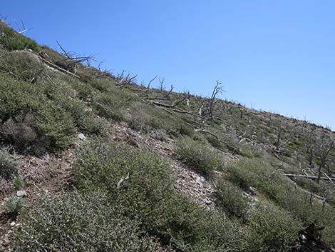 Route climbs up and across burned hillside (view E) |
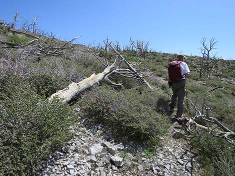 Climbing through burn area towards ridgeline (view NE) |
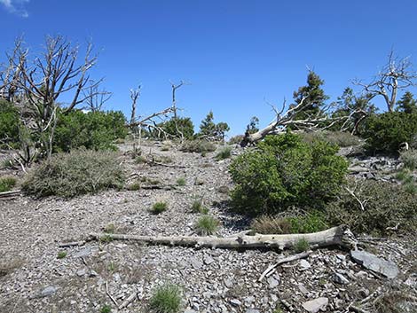 Arriving atop second ridgeline (view NE) |
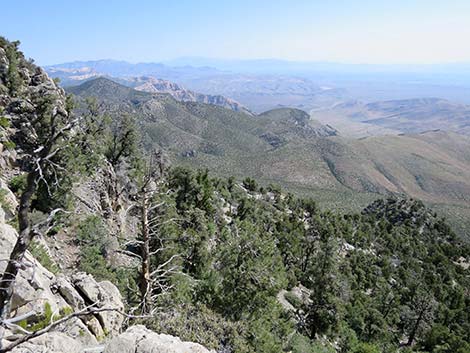
 Ridgeline and top second cliffs; Red Rocks comes into view (view NE) |
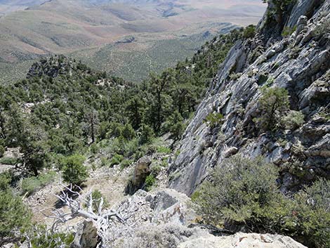
 Route runs north atop cliffs (view N) |
 Route runs north atop cliffs (view N) |
 Route runs north atop cliffs (view N) |
 Route runs north atop cliffs (view N) |
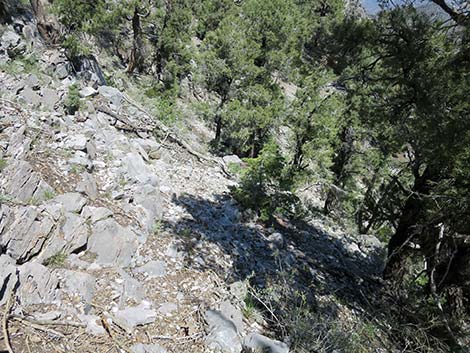 Starting down into steep gully (view down and NE) |
 Route descends into steep gully with loose rocks and logs (view NE) |
 Steep, loose gully (view NE) |
 Steep, loose gully (view E) |
 Detour onto ledge with a view (view NE) |
 Detour onto ledge with view: crash site and debris field (view down) |
 Detour onto ledge: A-Frame house in the distance (view SW) |
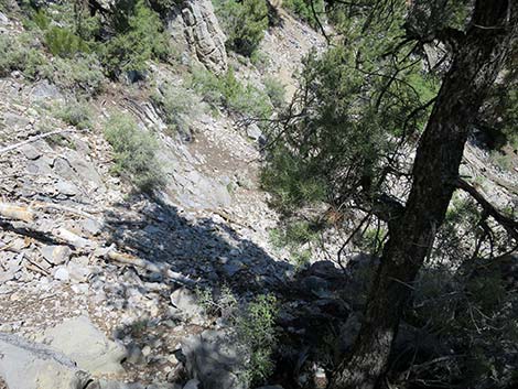
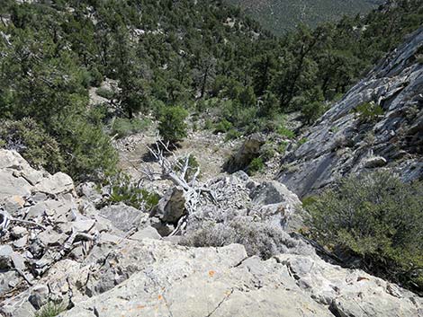
 Continuing down rocky gully (view E) |
 Arriving at the base of the crash-site cliffs |
 Crash site (view W) |
 Many rocks and debris cleared away (view N) |
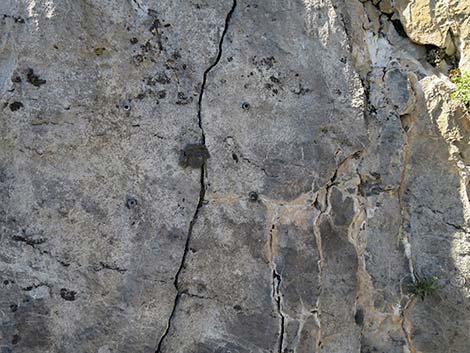
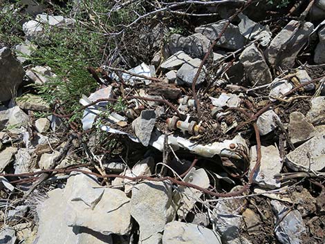 Crash site debris [more debris photos] |
 Crash site debris [more debris photos] |
 Crash site debris [more debris photos] |
 Crash site debris [more debris photos] |
 Crash site debris [more debris photos] |
 Crash site debris [more debris photos] |
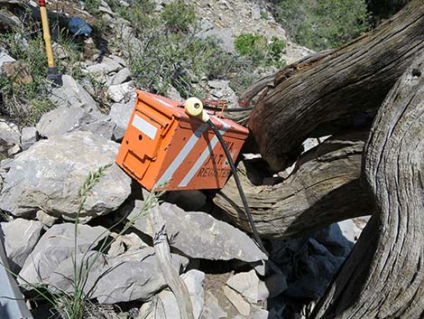 Sign-In register (view N) |
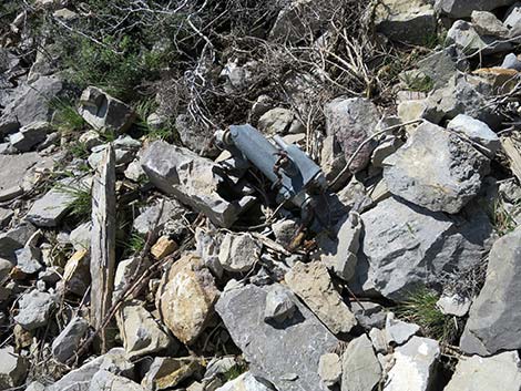
 Crash site debris - engine [more debris photos] |
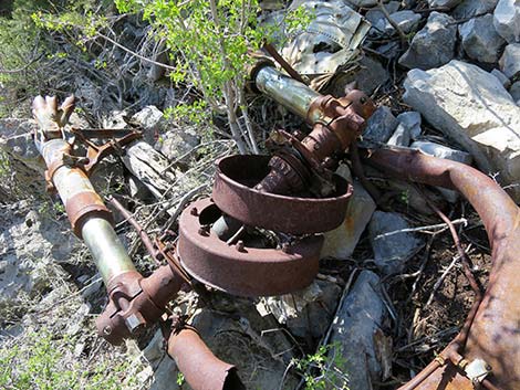
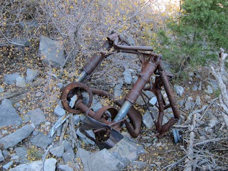 Crash site debris - landing gear [more debris photos] |
 The plaque remains missing (view SW) |
Table 1. Highway Coordinates based on GPS data (NAD27; UTM Zone 11S). Download Highway GPS Waypoints (*.gpx) file.
| Site | Location | UTM Easting | UTM Northing | Latitude (N) | Longitude (W) | Elevation (ft) |
|---|---|---|---|---|---|---|
| 1367 | Goodsprings | 641672 | 3966291 | 35.83237 | 115.43150 | 3686 |
| 1369 | Potosi Mtn Rd at Gate | 636417 | 3975644 | 35.91741 | 115.48807 | 5437 |
| 1370 | Hwy I-15 at Hwy 161 (Jean) | 651168 | 3960722 | 35.78076 | 115.32747 | 2881 |
| 1371 | Truck Route at Potosi Mtn Rd | 638383 | 3973298 | 35.89599 | 115.46669 | 4573 |
| 1976 | Hwy 161 at Goodsprings Bypass Rd | 643280 | 3965274 | 35.82297 | 115.41390 | 3514 |
Table 2. Hillside Route Hiking Coordinates Based on GPS Data (NAD27, UTM Zone 11S). Download Hiking GPS Waypoints (*.gpx) file.
| Wpt. | Location | UTM Easting | UTM Northing | Elevation (ft) | Point-to-Point Distance (mi) | Cumulative Distance (mi) |
|---|---|---|---|---|---|---|
| 01 | Trailhead | 636416 | 3975653 | 5,460 | 0.00 | 0.00 |
| 02 | Fork in the Road | 635726 | 3977982 | 7,592 | 2.24 | 2.24 |
| 03 | Depart Road | 635818 | 3979099 | 7,925 | 1.16 | 3.40 |
| 04 | Below Limestone Crag | 635960 | 3979140 | 7,846 | 0.13 | 3.53 |
| 05 | Top of Ridge | 636161 | 3979272 | 8,037 | 0.23 | 3.76 |
| 06 | Top of Gully | 636105 | 3979320 | 8,023 | 0.05 | 3.81 |
| 07 | Crash Site | 636153 | 3979371 | 7,825 | 0.10 | 3.91 |
| 03 | Return to Road | 635818 | 3979099 | 7,925 | 0.51 | 4.42 |
| 01 | Trailhead | 636416 | 3975653 | 5,460 | 3.40 | 7.82 |
Happy Hiking! All distances, elevations, and other facts are approximate.
![]() ; Last updated 240330
; Last updated 240330
| Hiking Around Las Vegas | Glossary | Copyright, Conditions, Disclaimer | Home |