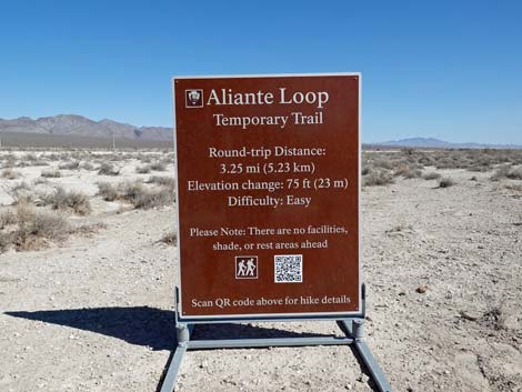
Aliante Loop Temporary Trail
Hiking Around Las Vegas; Tule Springs Fossil Beds National Monument
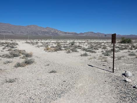
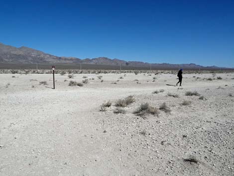
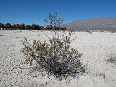
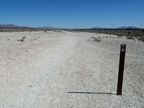
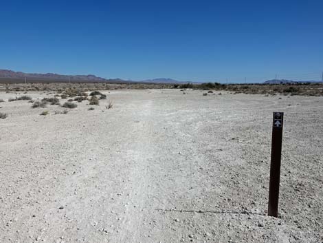
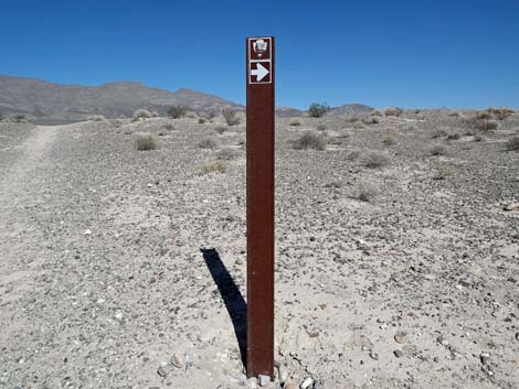
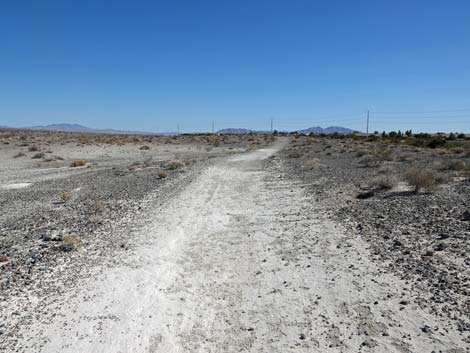
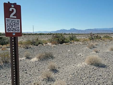
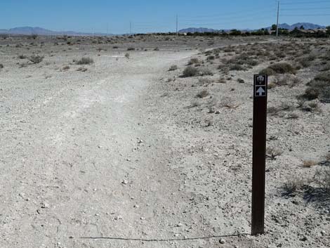
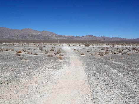
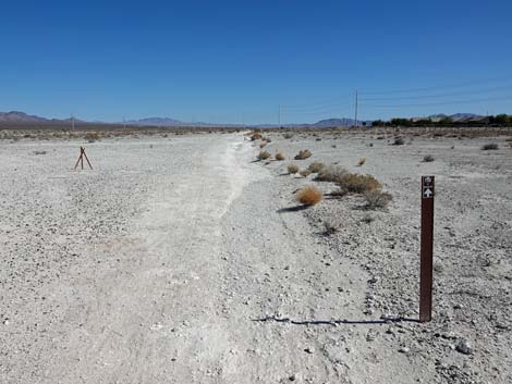
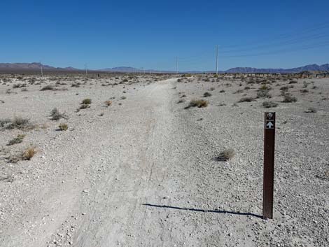
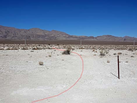
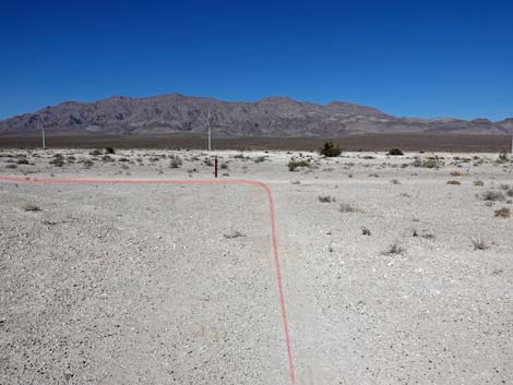
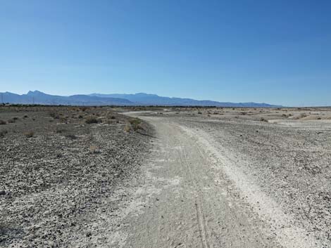
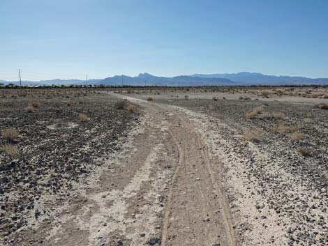
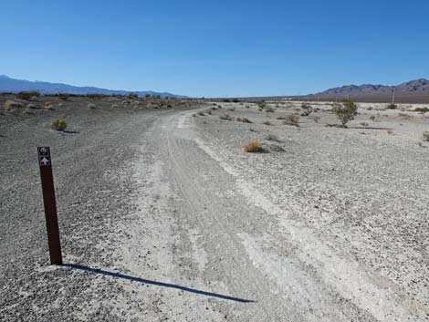
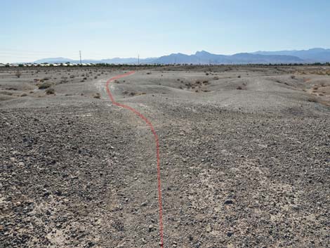
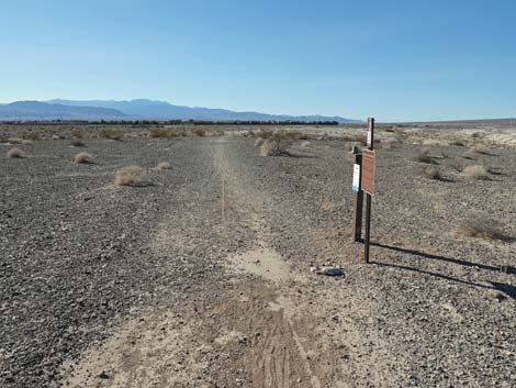
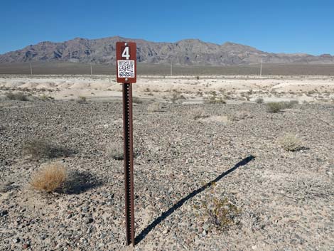
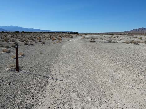
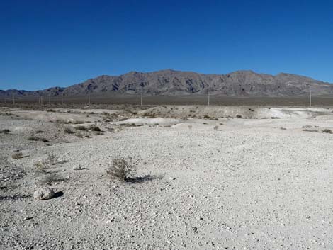
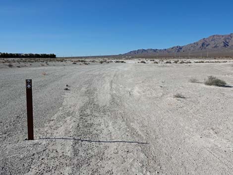
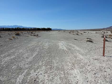
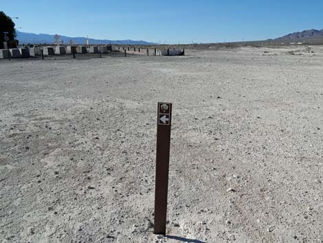
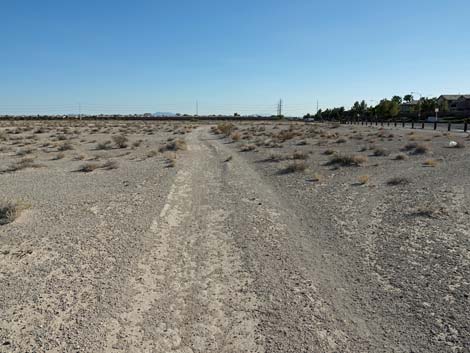
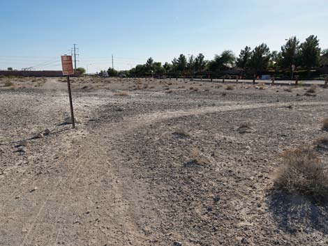
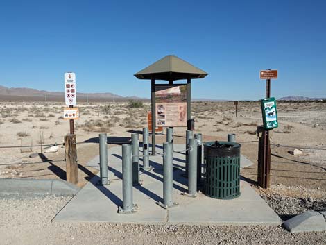 Aliante Trailhead (view E) |
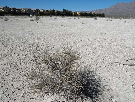
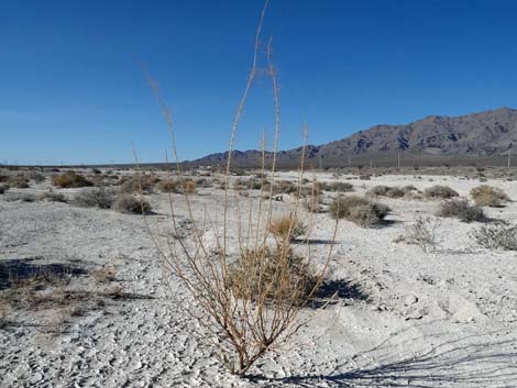
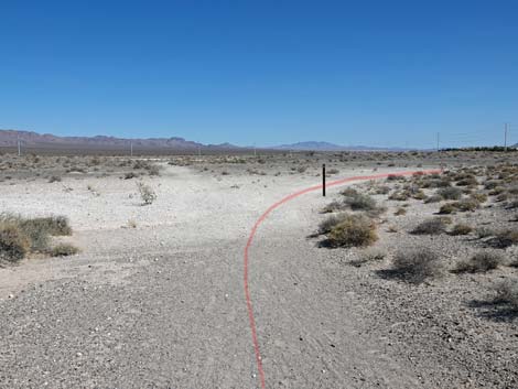
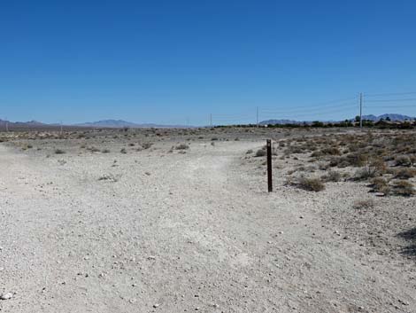
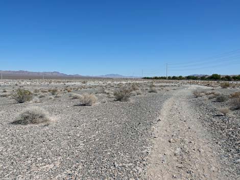
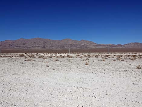
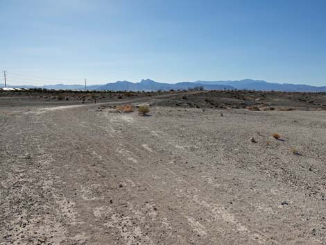
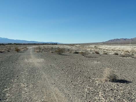
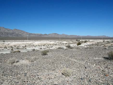
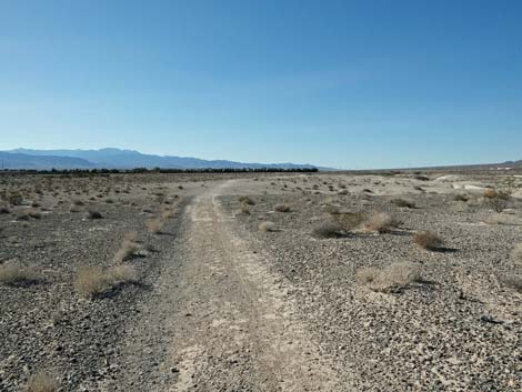
Overview The Aliante Loop Trail is the first formally designated trail in the newly established (December 2014) Tule Springs Fossil Beds National Monument. This is the rough, first draft of the trail, technically designated as a "temporary" trail, but it gets things started. Managed by the National Park Service, it makes sense that the trail was designed as a "nature trail" with numbered stops and information along the way. This trail is a learning experience. The Aliante Loop Trail, about 2.85 miles long, departs the Aliante Trailhead and heads east into the desert across a nearly flat area following old, closed dirt roads. Hikers get grand views of the open desert and the Las Vegas Range to the north, and good examples of southern Nevada desert plants. Eventually, the trail turns north, then turns back to the west to complete the loop and return to the trailhead. If the nearly 3-mile trail is too long, there are several opportunities to short-cut the loop using the old roads that crisscross the area, although the National Park staff would prefer that we follow the designated trail. Link to Map. |
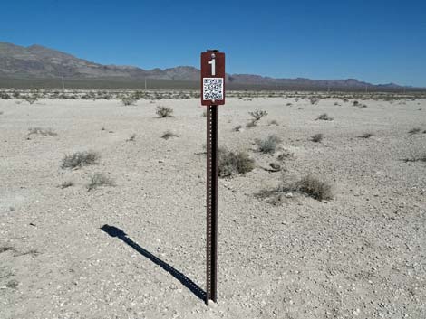
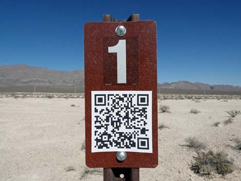
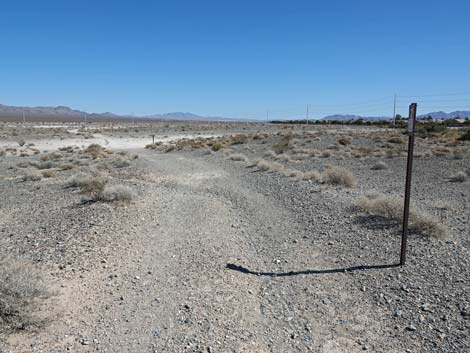
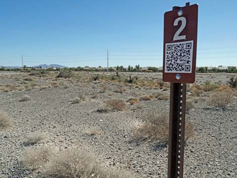
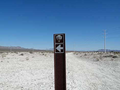
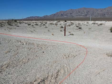
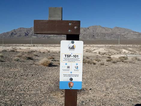
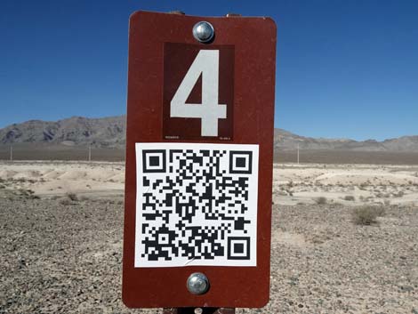
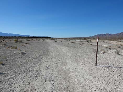
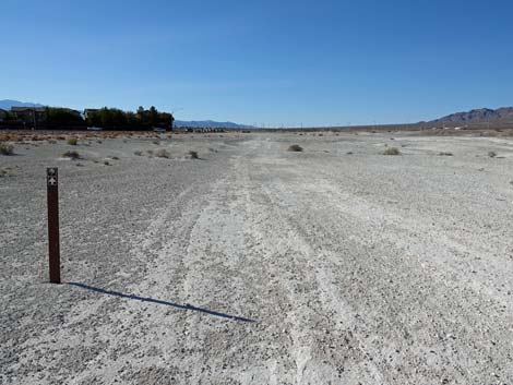
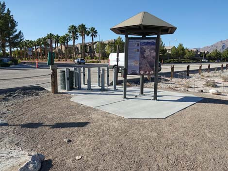
 Aliante Trail information sign with QR Code (view E) |
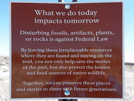
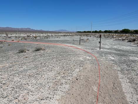
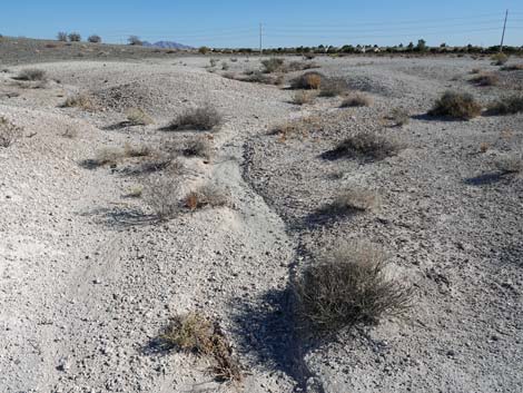
Watch Out Other than the standard warnings about hiking in the desert, there are no particular dangers on this route. This area is crisscrossed with old, closed dirt roads and ATV trails, and the trail follows some of these old roads. Signs provide pretty good directions, but hikers need to pay attention, especially at turns. Hikers need not fear getting lost, despite possible confusion about the exact route, because hikers can always see the surrounding roads and neighborhoods. There is no shade on this trail, so wear a big hat and avoid the area during the heat of summer. While hiking, please respect the land and the other people out there, and try to Leave No Trace of your passage. This hike is not remote, but be sure to bring what you need of the 10 Essentials. Cell phones work in this area. Bicycles are prohibited on this trail. This is a fossiliferous area, so remember that all fossils here are protected, but enjoy what you find and leave them in place when you leave. |
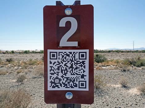
 The QR code links to information about the trail The QR code links to information about the trail |
Getting to the Trailhead This trailhead is located on the northern edge of the Las Vegas urban area. From downtown, drive north on Highway 95 towards Reno. Drive north 5.9 miles to the Northern Beltway (Highway 215). Exit right onto Highway 215 and drive east 3.3 miles to Aliante Pkwy (Exit 43). Turn left onto Aliante Parkway and drive north, past Aliante Casino, for 1.6 miles to the Aliante Trailhead, on the right. This is shortly past the last housing development on the right (but opposite housing on the left). Moonlight Falls Ave, opposite the trailhead, goes left into a housing development. Alternatively, from downtown, drive north on I-15 northbound towards Salt Lake City. Drive north 6.0 miles to the Northern Beltway (Highway 215). Exit onto Highway 215 and drive west 7.4 miles to Aliante Pkwy (Exit 43). Turn right onto Aliante Parkway and drive north, past Aliante Casino, for 1.5 miles to Aliante Trailhead. |
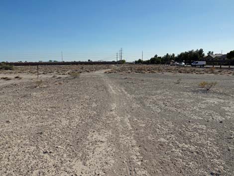
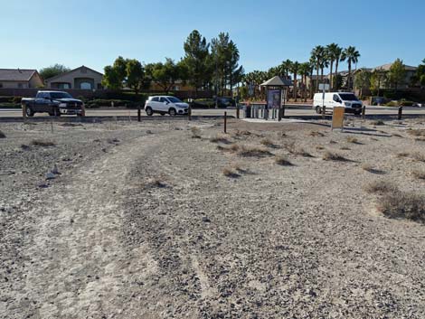
 Aliante Trail departs the kiosk to the right (view SE) |
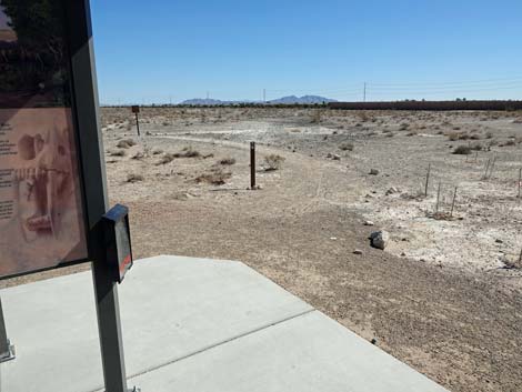
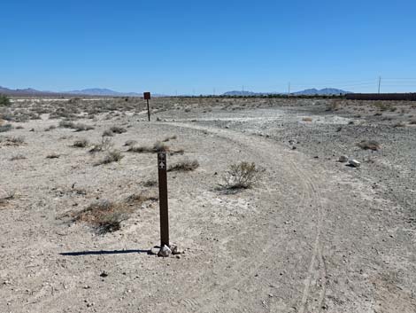
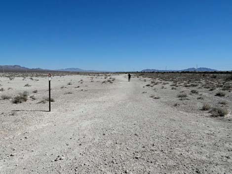
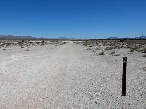
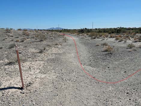
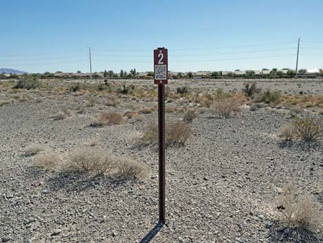
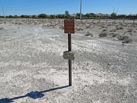
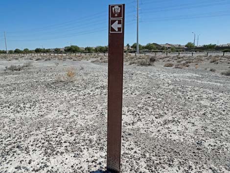
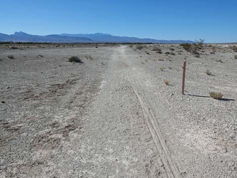
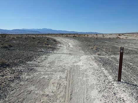
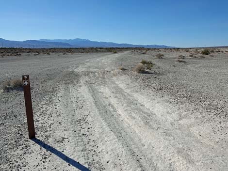
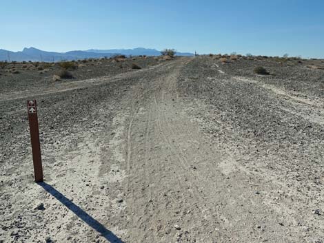
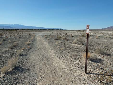
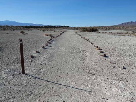
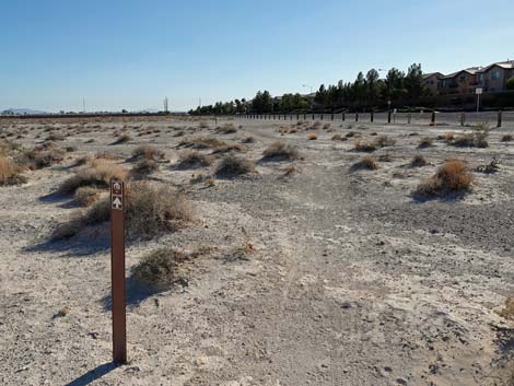
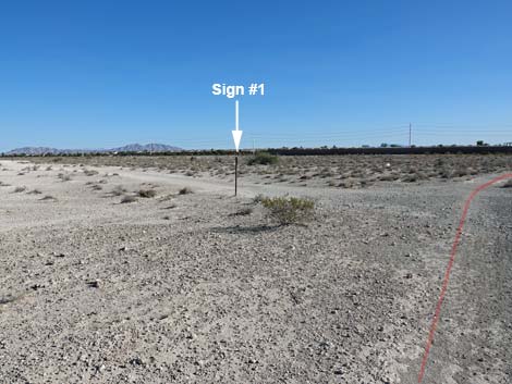
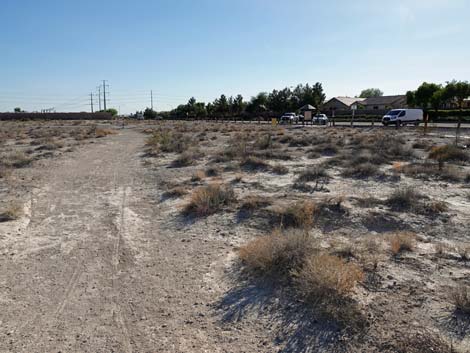
The Hike Before departing the trailhead, but sure to use your smart phone to capture the information encoded in the QR code on the temporary trail sign. The QR code links to a National Park Service web-page with information about the trail (link to PDF). There are 5 numbered sites along the trail, and the webpage provides detailed information about each site. For hikers who neglect to capture the webpage at the trailhead, each of the numbered signs has a copy of the QR code. This is the modern version of a "nature trail" where hikers previously would pick up a printed brochure that provided information about the various stops along the trail; now it is all online. From the Trailhead (Table 1, Waypoint 01), the trail departs the kiosk to the right heading southeast, past a carsonite trail sign. Take note of this sign, as this is how the trail and trail junctions are marked along the trail. From the first carsonite sign, the trail sweeps left past an information sign to head due north. Shortly, the trail arrives at a junction (Wpt. 02) where a trail branches to the right. The first of the numbered signs marks the junction. The Aliante Trail splits here to form a loop: the trail continues to the right and returns on the trail to the left (straight). Before departing the trail junction, be sure to read about Site #1. |
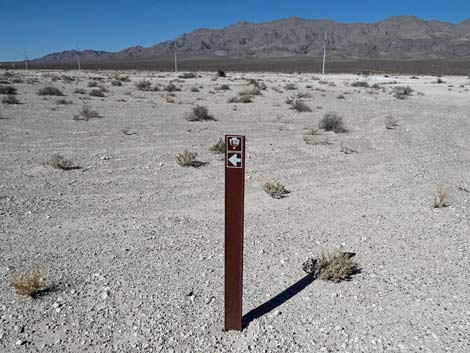
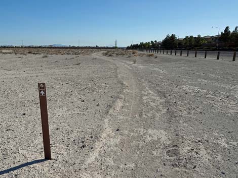
 The first carsonite trail marker sign: note the arrow (view E) |
Site #1 (paraphrased) During the latter Pleistocene and early Holocene (a time period spanning roughly 570,000 to 8,500 years ago), springs here provided water that created ponds, marshes, and streams. As the climate changed, the springs sometimes dried out, but when wet, these wetlands provided lush habitats used by Ice Age animals. Wet areas trapped windblown sand and dust to form the white sedimentary deposits we see today. As animals visited the area, some died and were eventually covered over by these deposits. In the current climate, these ancient soils -- filled with bones -- provide habitat for modern Mojave Desert plants and animals. The Aliante Loop Trail begins on the flat-lying light-colored sediments of Pleistocene marshes and eventually loops back over mounds of dark gravels that mark Holocene-age stream beds that cut into the older wetland deposits. |
 Trail approaching the first information sign (view NE) |
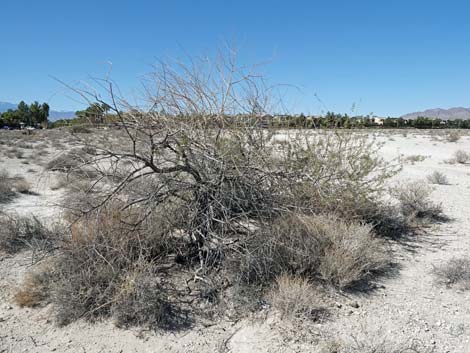
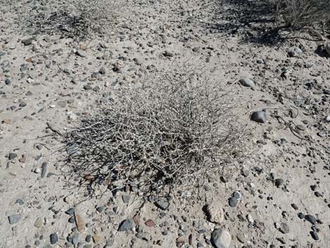
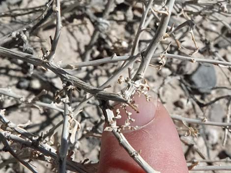
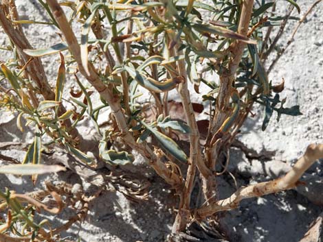
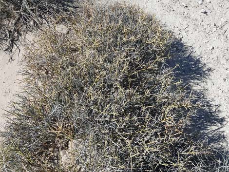
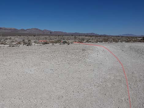
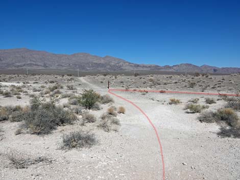
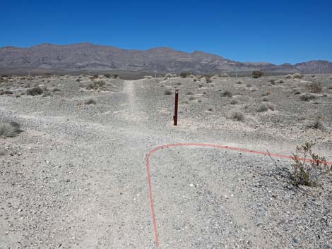
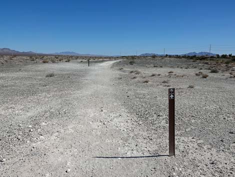
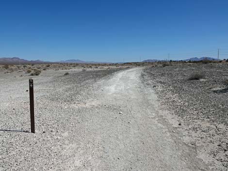
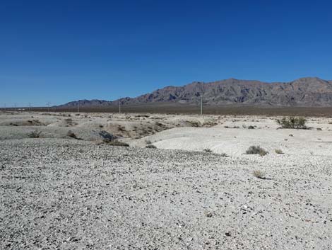
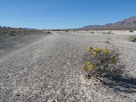
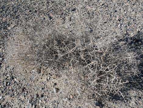
Continuing past Site #1, the trail runs slightly southeast into the desert. This is a good time to become familiar with the local flora. In this area, the tallest shrubs are Catclaw Acacia. These are all off the trail, but if hikers stray too close to one, they will understand the "catclaws" and the other name -- Wait-A-Minute Bush -- as the bush bids you to stop and wait-a-minute as you carefully remove the catclaws from skin and clothes before continuing your journey. The other tall shrubs are Creosote Bush, a common desert shrub at this elevation. These often grow in association with White Bursage, which together form the Creosote-Bursage Flats habitat type at lower elevations in the Mojave Desert. Look for other shrub species along the trail, which can be seen all year, and look for wildflowers that mostly bloom in the spring. In this area, hikers pass old roads that cross and fork off from the main trail, but the main trail is well marked with carsonite signs. At about 0.38 miles out, the trail bends left to head north and quickly arrives at a signed trail junction (Wpt. 03). At this junction, the trail turns right to continue in a southeasterly direction, but hikers could shorten the loop by continuing straight or turning left here. Continuing southeast, at about 0.59 miles out, hikers arrive at the second numbered site along the trail. |
 Sign: Please help protect this habitat (view SE) |
Site #2 (paraphrased) Desert Mistletoe grows as a parasite on the stems of Catclaw Acacia and their relatives (e.g., Mesquite). Looking south, to the left or the right, hikers can see Catclaw bushes with tangled clusters of Mistletoe growing high in the branches. In season, translucent white Mistletoe berries ripen to red berries. The berries are poisonous to humans, but the ripe berries are a favorite food of the Phainopepla (Fay-no-pep-la; glossy black (male) or gray (female) birds with a crest of feathers on their head, looking somewhat like a black Northern Cardinal). Mistletoe berries contain sticky seeds, and when Phainopeplas poop them out onto another Catclaw, they spread the Mistletoe, thereby ensuring a continuing supply of food for the birds while not seriously harming the plant in most cases. Phainopeplas are species of concern in Nevada, and habitat for both species has decreased as urbanization spreads throughout the Las Vegas Valley. From Marker #2, the trail curves slightly to the northeast and quickly arrives at a fork in the trail (Wpt. 04). The main trail bends right to head southeast, while an alternate and somewhat shorter trail bends left. |
 After the sign, the trail runs due north towards the Las Vegas Range. |
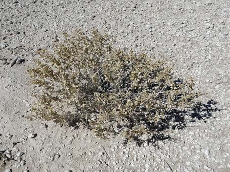
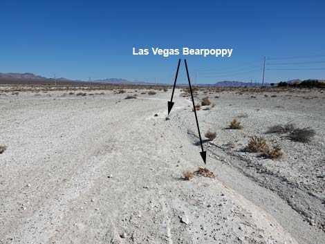
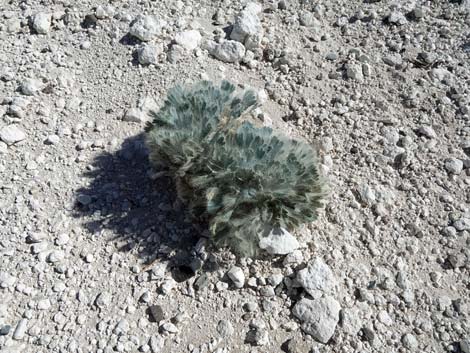
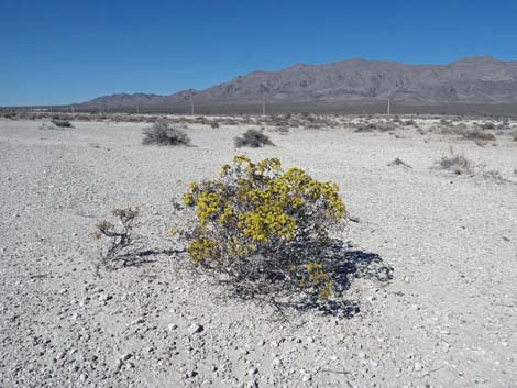
Staying right on the main trail, hikers continue southeast for 0.16 miles to pass a contraption (Wpt. 05) that counts hikers using the trail. A sign says that it does not take pictures of hikers, but rather counts the number and records the time of people passing by. Beyond the counter, the trail curves left to run northeast and shortly arrives at another junction of old roads (Wpt. 06). If hikers had stayed left at the previous fork (Wpt. 04), they would rejoin the trail here; and hikers wanting to shortcut the loop could continue straight. The main trail, however, turns right to continue heading southeast. Along this section of trail, hikers first encounter one of our most beautiful rare plants: Las Vegas Bearpoppy. Hairy, silvery-gray leaves that look like the paw of a bear, grow in a clump at the base of the plant, and large, yellow, poppy flowers grow atop long stems. There are a couple of plants along the trail here, but they are rare and protected by law, so don't pick the flowers. Shortly past the Bearpoppies, hikers encounter a patch of another of our rare plants, this time a low-growing evergreen shrub: the Las Vegas Buckwheat. This shrub has clusters of tiny yellow flowers held on stalks that stand above the leafy parts of the plant. This is Las Vegas Valley subspecies of the more widespread Crispleaf Buckwheat. They are also protected by law, so don't pick the flowers. |
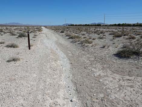
 Hiker approaching first trail junction (view N) |
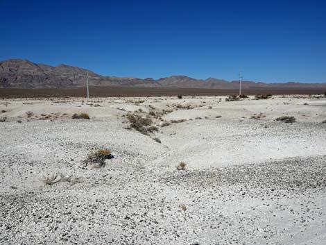
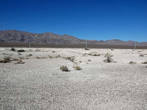
Shortly beyond the buckwheat patch, hikers encounter another trail junction (Wpt. 07). Here, the Aliante Trail turns left (watch for the arrow on the sign) to run almost due north towards the Las Vegas Range. This segment is the far-end of the loop. Heading north, in about 300 yards, hikers reach another trail junction (Wpt. 08). Here, at about 1.38 miles out, the trail turns left again, and this time begins returning towards the trailhead. Heading west, the trail runs between flattish areas on the left and low hills and gullies on the right. Back at Site #1, the QR-Code text mentioned that the trail begins on flat-lying light-colored Pleistocene marsh sediments and eventually loops back over dark gravels and low mounds that mark eroded Holocene-age stream beds. The different landforms are better seen in this area. On the left, the flat-lying light-colored Pleistocene marsh sediments are the landscape the trail has been traversing. On the right, hikers can see light-colored mounds and dark gravels that mark eroded Holocene-age stream beds that cut into the older wetland deposits. |
 Hiker passing Site #1 at the first trail junction (view NE) |
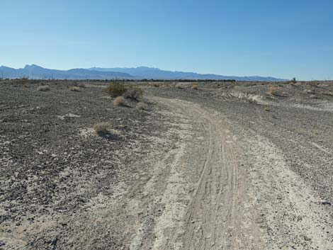
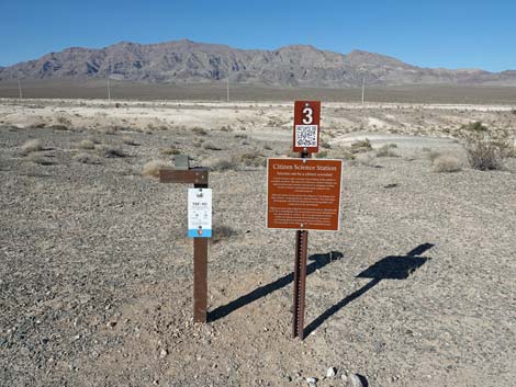
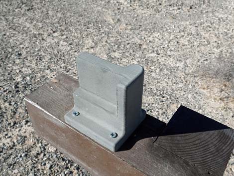
The trail generally runs westward along the eroded wetland deposits, then bends to the southwest and arrives at a fork in the trail (Wpt. 09). Here, the well-defined trail stays right. Heading northwesterly, the trail continues across old streambed gravels and passes the occasional Las Vegas Bearpoppy and Las Vegas Buckwheat, all with white, eroded marsh deposits to the north. The trail eventually bends to the left to head southwest across somewhat rolling terrain and even crosses some shallow erosion gullies. Before long, the trail climbs onto a low hill, which is the highest point along the trail. Atop of the hill, hikers arrive at Site #3, the Rare Plants and Citizen Science observation point. Here, hikers are encouraged to snap a photo of rare plants on the landscape and upload it for science. |
 Hiker continuing past Site #1 at the first trail junction (view E) |
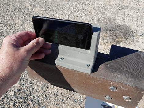
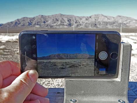
Site #3 (paraphrased) In reference to the Las Vegas Bearpoppy and Las Vegas Buckwheat growing to the north of the trail: Strong and resilient to the arid climate, Mojave Desert plants have adapted to high temperatures, little rain, and no shade. This desert shrub community provides vital food and shelter for the native wildlife that lives here. Urbanization has fragmented and degraded the habitat of these species. Protecting these plants from trampling, off-roading, and competing invasive plants will help prevent them from going extinct, and it will protect the wildlife habitat too. Citizens can help protect this plant and animal community by simply taking a picture. Place your phone firmly in the holder (see instructions on the sign), snap a picture, and send the photo to upload@chronolog.io with the subject line TSF-101. Citizen science is voluntary, and all of the photos collected over the seasons and years will assist scientists and resource managers in their studies to better understand natural resources in the National Monument. Hikers will get an email back with a link see their photo included in a time-lapse video. |
 Sign: Site #1 (view NE) |
Continuing westward past Site #3, hikers quickly arrive at Site #4. Site #4 (paraphrased) Distinct from the darker hue of the gravels that formed in ancient stream beds, the highly eroded topography visible here and throughout the National Monument are what remain of Pleistocene wetlands. The expansive wetlands and streams were subjected to intense weathering and erosion as the springs dried and local climate became more arid. Over time, flowing water in the Upper Las Vegas Wash carved into the soft sediments to expose various sediment layers and fossils. This process continues to this day, allowing researchers to study the changing wetland habitats, plants, and animals through time. |
 Sign: Site #1 with same QR Code as seen at trailhead (view NE) |
Continuing northwestward past Site #4, in about 300 yards hikers arrive at Site #5, the last of the numbered sites. Site #5 (paraphrased) Thousands of fossils representing mammals, reptiles, fish, snails, birds, and plants have been found in these Pleistocene wetlands deposits. The most common vertebrate (animals with a backbone) fossils identified here are from Columbian Mammoths (PDF) (close relatives of elephants with long, curved tusks). Extinct Giant Camels (PDF), Shasta Ground Sloths (PDF), two (possibly three) species of extinct horse, deer, bison, Dire Wolf (PDF), and Sabre-Toothed Cats (PDF) lived in this wetland habitat. What happened to the Ice Age plants and animals? Many species went extinct, but several species survived (e.g., Utah Juniper, Singleleaf Pinyon, and waterfowl), but they shifted to more suitable habitats after this area became too hot and arid for them. Plant and animal species that adapted to the desert, such as Creosote Bush, Coyotes, rabbits, and rodents, have remained part of the Tule Springs ecosystem for thousands of years. |
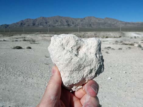
 The Pleistocene marsh deposits can be quite firm |
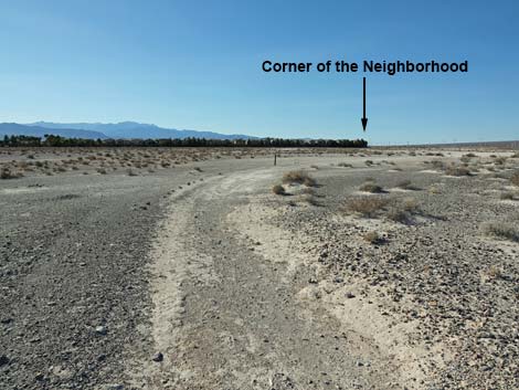
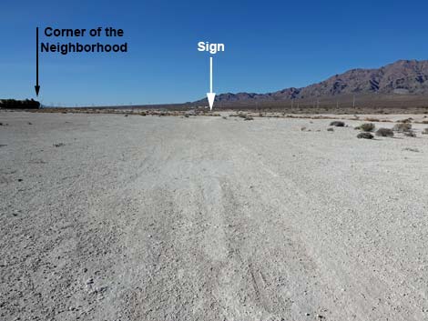
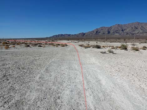
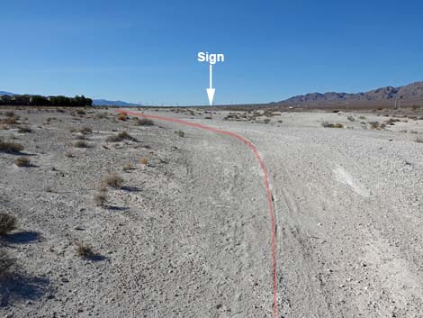
Beyond Site #5, the trail continues generally northwestward, but the trail sometimes is faint, and the trail markers are a bit sparse. Even so, the trail is not difficult to follow because generally the trail runs towards the right-most corner of the neighborhood seen ahead in the distance. Be sure to notice the rare plants along the trail. If there is a problem finding the trail, it is in the large expanse of open white dirt (Wpt. 10) in this area. Approaching Aliante Blvd and the right-most corner of the neighborhood, the trail bends left (Wpt. 11). Vegetation is sparse in this area, so watch for carsonite trail signs. The trail now runs south, parallel to Aliante Blvd for 0.24 miles and eventually reaches the trail junction at Site #1 (Wpt. 02) where the trail originally forked to start the loop. Continuing straight (south) past the trail junction, hikers soon approach the trailhead (Wpt. 01). The trail loops past the trailhead kiosk and comes back in from the far side, so please stay on the trail so as not to trample what little native vegetation remains in this area. |
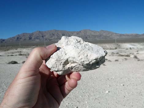
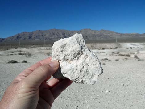 Pleistocene marsh deposit: blowing dust that turned to mud then stone |
 Pleistocene marsh deposit: blowing dust that turned to mud then stone |
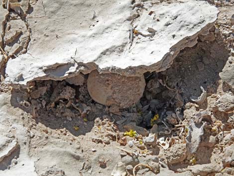
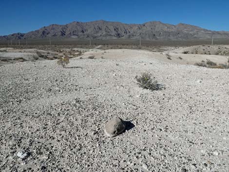 In a marsh, from where did this relatively large limestone cobble come from? |
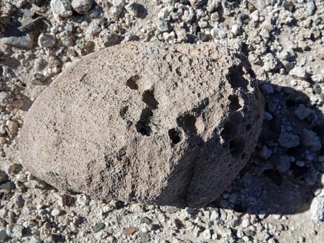 Large limestone cobble |
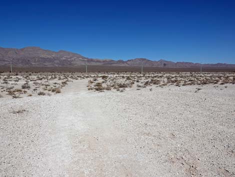
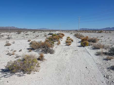
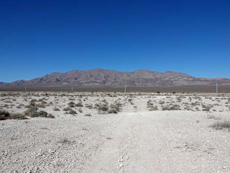
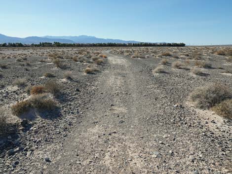
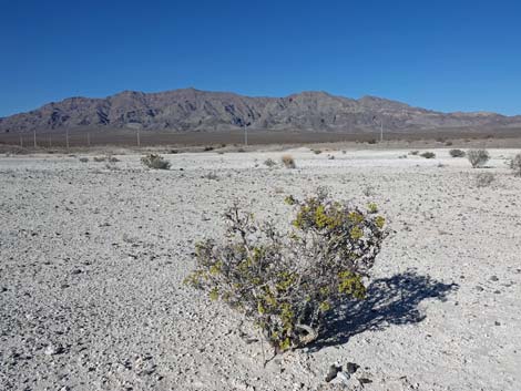
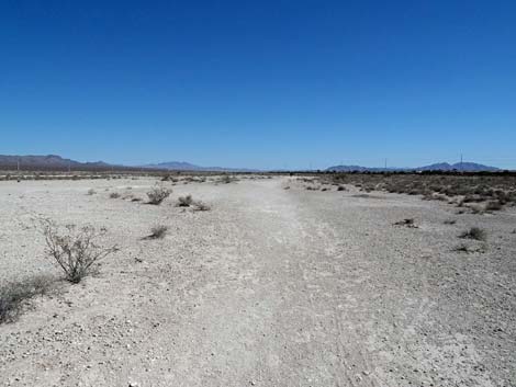 The trail traverses flat, open desert terrain with shrubs (view E) |
 Catclaw Acacia, also called Wait-A-Minute Bush |
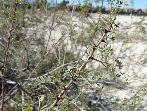 Catclaw Acacia, also called Wait-A-Minute Bush (note the "cat claws") |
 Creosote Bush, a common desert shrub at this elevation |
 White Bursage, one of the most common desert shrubs |
 White Bursage, look for the tiny, lobed leaves even when dried out |
 Nevada Ephedra |
 Watch out for dog poop along the trail |
 Desert Princesplume produces lots of yellow flowers during spring |
 Desert Princesplume leaves |
 Shadscale Saltbush with thick, round leaves |
 Spiny Menodora |
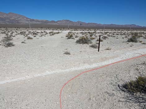
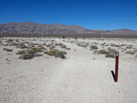
 A carsonite post marks the trail (view E) |
 A carsonite post marks the trail (view E) |
 Often the next carsonite sign can be seen up the trail (view E) |
 A carsonite post marks the trail (view E) |
 The trail bends left to the next carsonite post (view NE) |
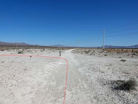
 Approaching trail junction (view NE) |
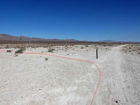
 Arriving at trail junction; trail turns right (view N) |
 Note arrow to the right on carsonite sign (view NE) |
 Trail continues eastward past carsonite sign (view E) |
 Trail continues east past carsonite signs (view E) |
 Trail continues east past carsonite signs (view E) |
 Trail continues up slight rise towards Site #2 (view E) |
 Arriving at Site #2 (view E) |
 Sign: Site #2 (view S) |
 Sign: Site #2 with same QR Code as seen at trailhead (view S) |
 Catclaw Acacia with Desert Mistletoe to the right of Sign #2 (view SW) |
 Catclaw Acacia with Desert Mistletoe to the left of Sign #2 (view SE) |
 Approaching a fork, the Aliante Trail stays right (view E) |
 The Aliante Trail stays right past a carsonite sign (view E) |
 Trail continues east past carsonite signs (view E) |
 Trail continues east towards carsonite sign in the distance (view E) |
 Aliante Trail approaching the trail counter (view E) |
 Aliante Trail at the trail counter (view SE) |
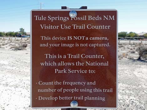 Trail counter information sign (view SE) |
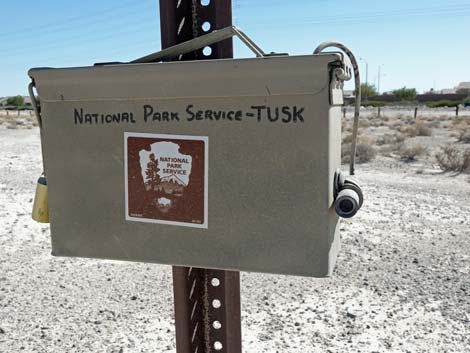 They say this is a trail counter, not a camera (view S) |
 Trail bends away to the left when departing the trail counter (view NE) |
 Note arrow indicating the trail stays to the left (view SE) |
 Aliante Trail crosses open desert flats (view NE) |
 Aliante Trail crosses slightly rolling terrain (view NE) |
 Trail junction: Aliante Trail stays to the right (view NE) |
 Aliante Trail continues to the east (view E) |
 Trail continues east past a carsonite sign (view E) |
 Trail continues east past a carsonite sign (view E) |
 Grand views north towards the Las Vegas range (view N) |
 Las Vegas Bearpoppy, one of our rare plants |
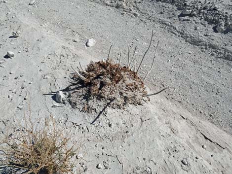 Las Vegas Bearpoppy, one of our rare plants (all dried up) |
 Las Vegas Bearpoppy(all dried up), the leaves have long hairs |
 Las Vegas Bearpoppy, one of our rare plants (fresh leaves) |
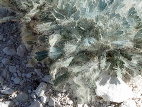 Las Vegas Bearpoppy (fresh leaves), the leaves have long hairs |
 Las Vegas Buckwheat, another of our rare plants |
 Fly with hairy black butt feeding on Las Vegas Buckwheat flowers |
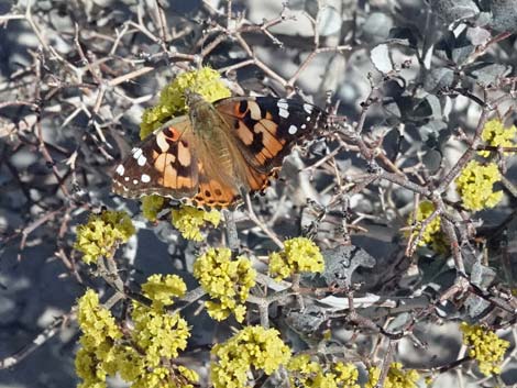 Painted Lady Butterfly on Las Vegas Buckwheat flowers |
 Birth of a Stalked Puffball (Tulostoma spp.) from under a flake of mud |
 At a fork, the Aliante Trail stays to the left (view E) |
 Trail stays left past a carsonite sign (view E) |
 Approaching a big bunch of Las Vegas buckwheat (view E) |
 Aliante Trail approaching a trail junction (view E) |
 At trail junction, Aliante Trail turns left (view E) |
 Aliante Trail turns left (view N) |
 Note arrow to the left on the carsonite sign (view E) |
 Aliante trail runs due north towards the Las Vegas Range (view N) |
 Passing a trail marker at the east-most point on the trail (view N) |
 Aliante Trail approaching a trail junction (view N) |
 Aliante Trail turns left to begin returning to trailhead (view E) |
 From the trail junction, Aliante Trail starts back towards trailhead (view W) |
 Note arrow to the left on the carsonite sign (view N) |
 Aliante Trail now traverses more undulating terrain (view W) |
 Eroded Pleistocene marsh deposits along the trail (view N) |
 Eroded Pleistocene marsh deposits along the trail (view N) |
 Trail crosses areas with ancient streambed gravels on the surface (view W) |
 Trail crosses areas with ancient streambed gravels on the surface (view W) |
 Approaching a trail junction, the Aliante Trail stays right (view SW) |
 Trail stays right past a carsonite sign (view E) |
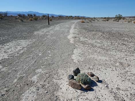 A ring of rocks protects a California Bearpoppy along the trail (view NW) |
 The trail continues across open terrain (view NW) |
 Another Las Vegas Buckwheat blooming along the trail (view NW) |
 Eroded Pleistocene marsh deposits and river gravels along the trail (view N) |
 The trail bends to the left (view W) |
 Trail crosses eroded Pleistocene marsh deposits and river gravels (view SW) |
 Trail crosses a shallow stream channel (view S) |
 Approaching a bend to the right (view SW) |
 Passing a trail marker, the trail climbs onto a low knoll (view W) |
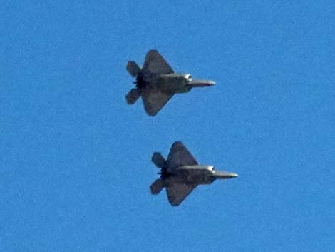 A pair of F-35s flyby in tight formation interrupting the silence (view up) |
 Aliante Trail approaching Site #3 (view NW) |
 Signs: Site #3 and Citizen Science Station (view N) |
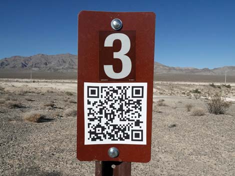 Sign: Site #3 with same QR Code as seen at trailhead (view N) |
 Information sign: Citizen Science Station (view N) |
 Camera holder and instructions (view N) |
 Camera holder mounted on wooden post (view from above) |
 Place camera in the holder |
 Hold camera securely in the holder and take photo |
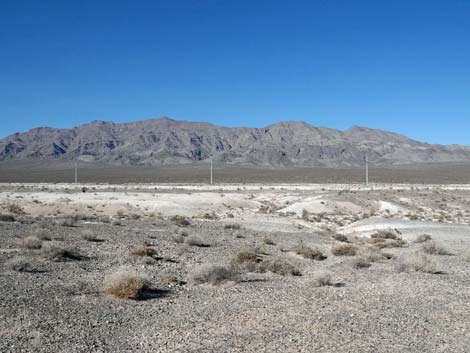 Photo taken for the science project; how will this scene change over time? |
 The trail continues beyond the Citizen Science Station (view NW) |
 Longspine Horsebrush (Tetradymia axillaris) -- don't sit on this one! |
 Aliante Trail approaching Site #4 (view NW) |
 Sign: Site #4 (view N) |
 Sign: Site #4 with same QR Code as seen at trailhead (view N) |
 Riverbed gravels and Pleistocene marsh deposits beyond sign #4 |
 Beyond sign #4, the trail continues westward (view W) |
 The trail passes through some relatively shrub-covered areas (view NW) |
 Aliante Trail approaching Site #5 (view NW) |
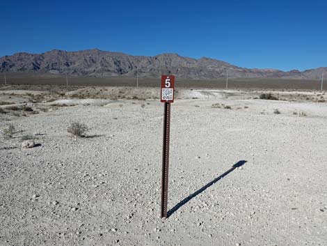 Sign: Site #5 (view N) |
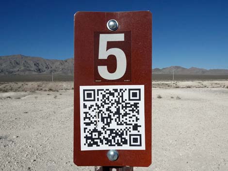 Sign: Site #5 with same QR Code as seen at trailhead (view N) |
 Fossil-bearing Pleistocene marsh deposits beyond Site #5 (view N) |
 Beyond Site #5, part of the trail is well defined (view NW) |
 The trail continues across streambed gravels (view W) |
 The trail becomes faint and poorly defined, but runs northwest (view NW) |
 The trail is faint and poorly defined, but runs northwest (view NW) |
 The trail is faint and poorly defined, but runs northwest (view NW) |
 Past the open area, the trail curves left (view NW) |
 After the bend, a carsonite trail marker comes into view (view NW) |
 The trail finally passes a carsonite trail marker (view NW) |
 Yet another Las Vegas Buckwheat blooming along the trail (view NW) |
 Approaching the "corner of the neighborhood" (view NW) |
 The trail bends left near the "corner of the neighborhood" (view NW) |
 Note carsonite post with "left" arrow (view NW) |
 The trail bends left to parallel Aliante Blvd (view SW) |
 More trail signs as the hikers head south along Aliante Blvd (view SE) |
 Another carsonite sign as the trail runs parallel to Aliante Blvd (view SW) |
 The trail is fairly well defined in this area (view S) |
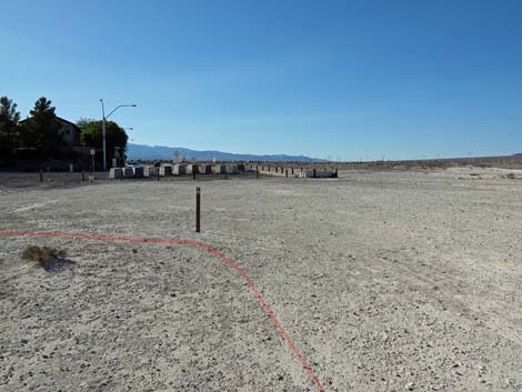
 Vehicles at the trailhead come into view (view SW) |
 The trail passes Sign #1 where the trail forked to start the loop (view SE) |
 Approaching the trailhead, the trail stays to the left (view SE) |
 Returning past the first information sign (view SE) |
 Approaching the Aliante Trailhead (view W) |
 End of the trail: arriving at the Aliante Trailhead (view W) |
Table 1. Highway Coordinates based on GPS Data (NAD27; UTM Zone 11S). Download Hiking GPS waypoints (*.gpx) file.
| Wpt. | Location | UTM Easting | UTM Northing | Elevation (ft) | Point-to-Point Distance (mi) | Cumulative Distance (mi) |
|---|---|---|---|---|---|---|
| 01 | Aliante Loop Trailhead | 662675 | 4019570 | 2,260 | 0.00 | 0.00 |
| 02 | Trail Junction | 662706 | 4019623 | 2,265 | 0.06 | 0.06 |
| Sign#1 | Info Marker #1 | 662714 | 4019623 | 2,306 | 0.00 | 0.06 |
| 03 | Trail Stays Right | 663217 | 4019573 | 2,259 | 0.34 | 0.40 |
| Sign#2 | Info Marker #2 | 663492 | 4019436 | 2,287 | 0.19 | 0.59 |
| 04 | Trail Stays Right | 663535 | 4019444 | 2,262 | 0.03 | 0.62 |
| 05 | Trail Counter | 663758 | 4019313 | 2,260 | 0.16 | 0.78 |
| Counter | Trail Counter | 663758 | 4019313 | 2,260 | 0.00 | 0.78 |
| 06 | Trail Turns Right | 663827 | 4019440 | 2,259 | 0.10 | 0.88 |
| 07 | Trail Turns Left | 664321 | 4019319 | 2,251 | 0.31 | 1.19 |
| 08 | Trail Turns Left | 664378 | 4019568 | 2,255 | 0.17 | 1.36 |
| 09 | Trail Stays Right | 664050 | 4019522 | 2,242 | 0.22 | 1.58 |
| Sign#3 | Info Marker #3 | 663625 | 4019534 | 2,287 | 0.30 | 1.88 |
| Sign#4 | Info Marker #4 | 663542 | 4019547 | 2,287 | 0.05 | 1.93 |
| Sign#5 | Info Marker #5 | 663319 | 4019645 | 2,287 | 0.16 | 2.09 |
| 10 | Open Area | 662990 | 4019846 | 2,267 | 0.26 | 2.35 |
| 11 | Trail Turns Left | 662702 | 4019997 | 2,278 | 0.20 | 2.55 |
| 02 | Trail Junction | 662706 | 4019623 | 2,265 | 0.24 | 2.79 |
| 01 | Aliante Loop Trailhead | 662675 | 4019570 | 2,260 | 0.06 | 2.85 |
Happy hiking! All distances, elevations, and other facts are approximate.
![]() ; Last updated 240330
; Last updated 240330
| Hiking Tule Springs | Hiking Around Las Vegas | Glossary | Copyright, Conditions, Disclaimer | Home |