Hiking Around Las Vegas; Tule Springs Fossil Beds National Monument
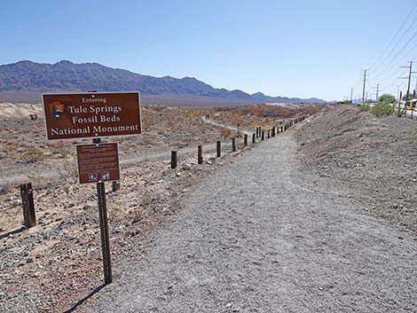
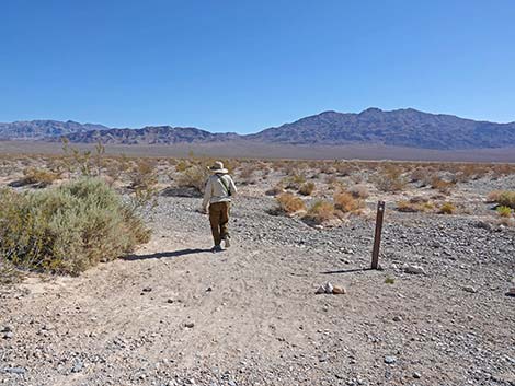
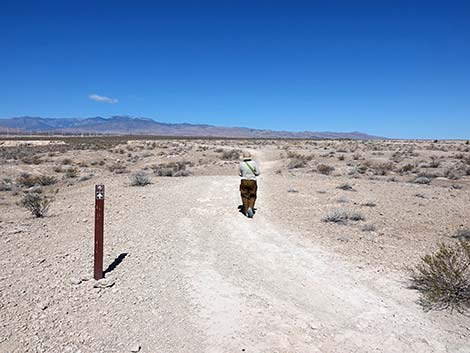
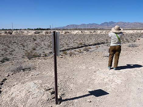
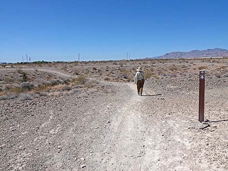
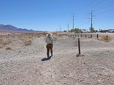
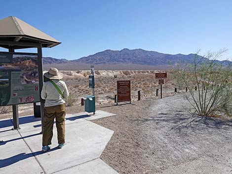 Hiker at Durango Trailhead information kiosk (view NE) |
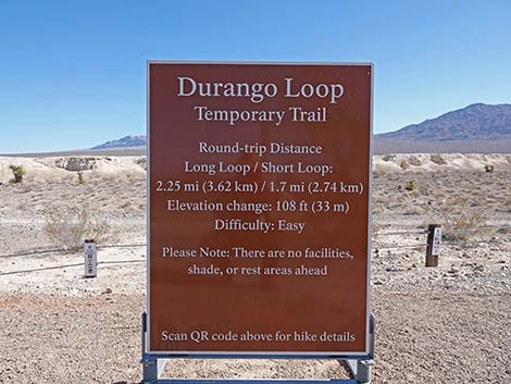
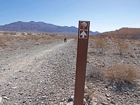
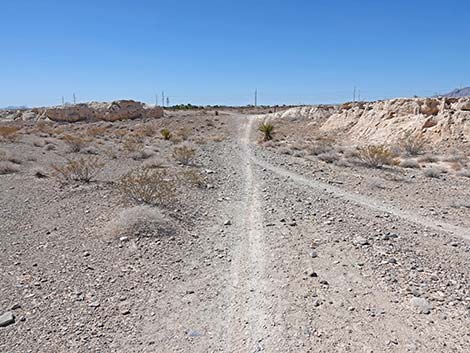
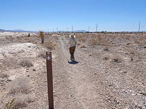
Overview Tule Springs Fossil Beds National Monument is a new National Park Service area (designated in December 2014), and as such, there are not yet any formally designated trails. However, the Durango Loop Temporary Trail is the start of creating official trails. The long version of this trail makes a nice, easy, nearly level, 2-1/4-mile hike in the new National Monument. Following old roads, the trail runs out to the third of the long, low mud-ridge formations, runs along the top of the mud ridge (nice views), then loops back to the trailhead. Carsonite signs strategically set along the trail, help guide hikers along the way. Fossils can be found in the mud, but remember, no collecting here -- all paleontological resources are protected. This hike is a loop, so it can be hiked in either direction, but here it is described as starting to the east and following the loop in the counter-clockwise direction. Link to Map. |
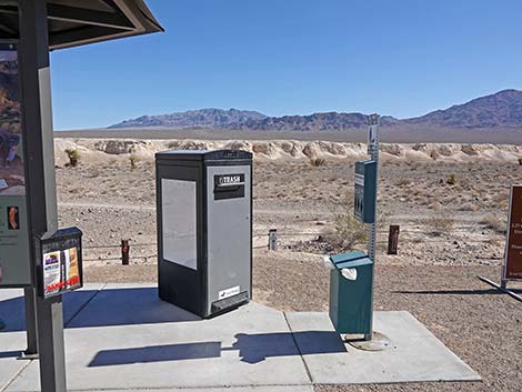 Trash can and dog-poop can (view N) |
Watch Out Other than the standard warnings about hiking in the desert, there are no particular dangers on this route, other than broken glass and lead-contaminated soils where illegal shooters once practiced. While hiking, please respect the land and the other people out there, and try to Leave No Trace of your passage. Also, even though this hike is short, be sure to bring what you need of the 10 Essentials. Getting to the Trailhead From downtown, drive north of Highway 95 towards Reno. Towards the north edge of town, exit right onto Durango Drive following signs towards Floyd Lamb Park at Tule Springs, then continue north on Durango Drive to the Durango Drive Trailhead. Park here; this is the trailhead. |
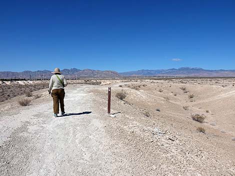
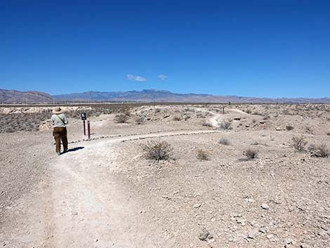
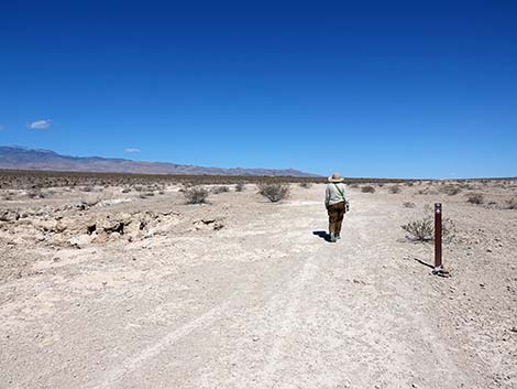
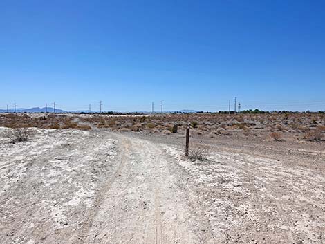
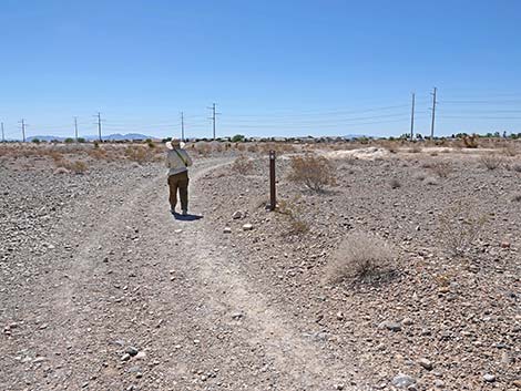
 Trailhead information sign (view N) |
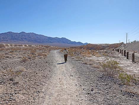
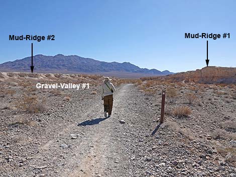
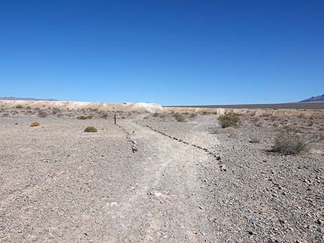
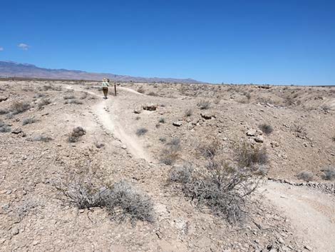
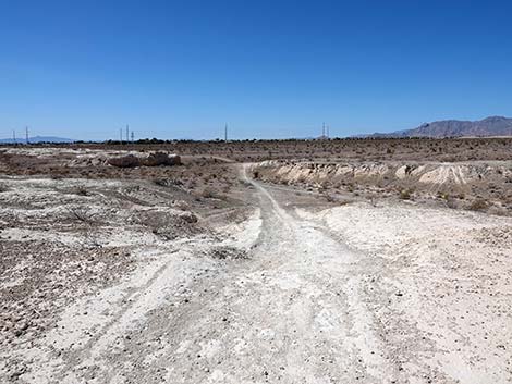
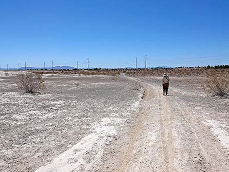
The Hike From the trailhead (Table 1, Waypoint 01), the trail runs down across the slope to the right (east), passes through a hiker access point into the new National Monument, and then continues east following an old, closed road (all of the old roads here are closed to vehicles). Following the old road east, the route runs in a gravel wash (Gravel-Wash #1) between yellow-mud cliffs (Mud-Ridge #1 and #2). The valleys between the yellow-mud hills are covered with gray-limestone gravels that washed down from the La Madre and Spring Mountains to the west. In addition to producing a nice contrast in colors between the gray gravels and yellow muds, the larger gravel pieces contain ancient Paleozoic seabed fossils, so keep an eye out. The gravel-filled valleys are sparsely vegetated with Creosote Bush, White Bursage, scattered Mojave Yucca, a few Nevada Jointfir, scattered Fluffgrass, and Desert Indianwheat, but few other species. As of May 2022, there are no QR codes on site. |
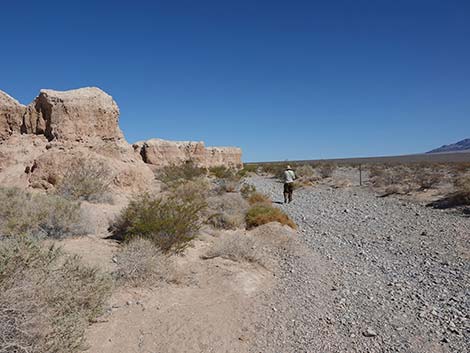
 Tule Springs boundary sign (view E) |
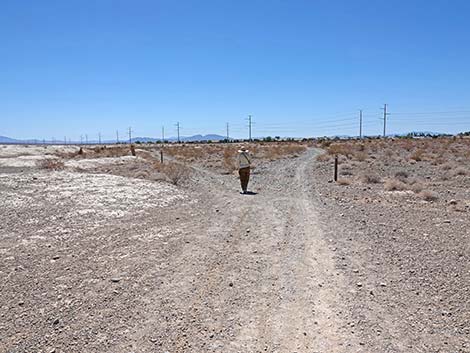
At the end of the yellow mud ridges (Mud-Ridge #1 on the right and Mud-Ridge #2 on the left), the old dirt road trail dead-ends at a T-intersection (Wpt. 02). Turning left, the trail runs northwest in another gravel-filled wash passing below the end of Mud-Ridge #2. In this gravel wash, Las Vegas Wash, the gravels are a combination of those from the mountains to the west and from the Las Vegas Range to the northeast. In this area, the trail follows Las Vegas Wash upstream. This area gets more water and the shrubs here are more robust and diverse, and there are likely to be wildflowers in the spring. Plants that grow here, but not in the drier areas between the mud ridges include Shadscale Saltbush, Desert Globemallow, Matchweed, Cheesebush, Virgin River Brittlebush, Brownplume Wirelettuce, and Big Galleta Grass. Unfortunately, the invasive weeds Sahara Mustard and Halogeton are spreading into this area too. Continuing along following Las Vegas Wash and the intermittent old road northward, hikers traverse Gravel-Valley #2, a gravel-filled valley that separates Mud-Ridge #2 and Mud-Ridge #3. Hikers who need a very short loop can turn left and follow Gravel-Valley #2 westward until encountering old roads that run south over the top of Mud-Ridge #2 and back to the trailhead. |
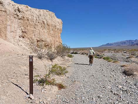
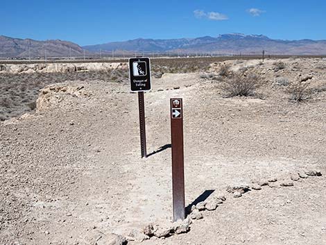
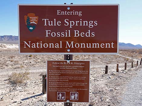 Tule Springs Fossil Beds National Monument boundary sign (view NE) |
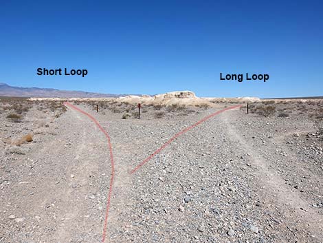
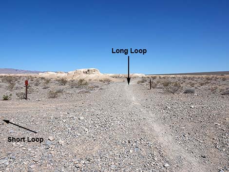
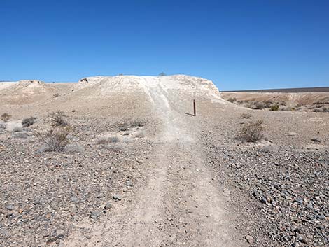
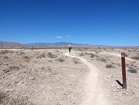
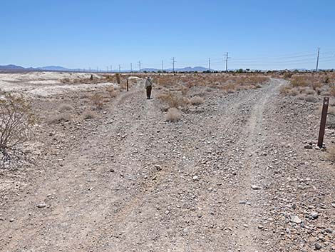
Continuing northwest on the Loop trail, hikers quickly pass Gravel-Valley #2, and as before, it is covered with gray limestone that washed down from the mountains to the west. Still following the old road north, the route passes the east end Mud-Ridge #3 and enters Gravel-Valley #3. Here, the old road forks three ways (Wpt. 03). One old road bends right and runs out into the upper reach of the Las Vegas Wash. The old road to the left runs northwest into Gravel-Valley #3; this is the start of the Durango Loop Temporary Trail -- Short Version. The third way, the Durango Loop Temporary Trail -- Long Version, continues straight (northwest). Shortly, the trail passes a mud-hill and forks again (Wpt. 04). This time, the Durango Long Loop goes left and follows an old road, somewhat steeply, up onto Mud-Ridge #4 (Wpt. 05). Here, atop the mud-ridge, hikers get a nice overview of the terrain. Mud-ridges stretch beyond view to the north, the Las Vegas Range towers above the Las Vegas Wash and the rest of the landscape to the northeast, and the La Madre and Spring mountain ranges, plus the gravel they send down between the mud-ridges, can be seen to the west. To the south, powerlines, tile roofs, and other signs of the urban area are apparent, but we try to ignore them while hiking. |
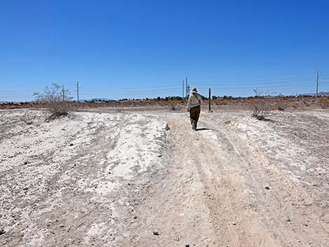
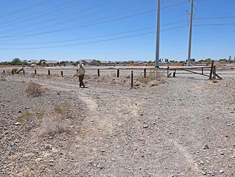
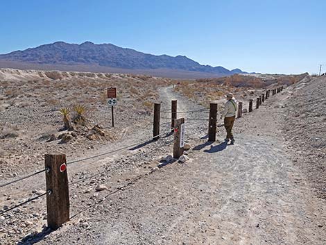 Hiker starting through a gate in the boundary fence (view NE) |
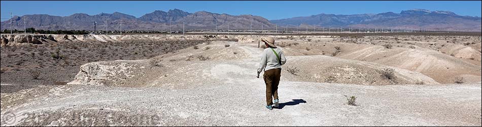
Atop Mud-Ridge #4, the trail runs west keeping to the high ground. Up here, the vegetation is very sparse as few plants can tolerate the mud-soils. Scattered about are a few Creosote Bushes, a few White Bursage, a few Indigo Bushes, and even a Cottontop Cactus. Most of these shrubs are growing in the little wash-lets where water collects during heavy storms. About 1/3 of the way out Mud-Ridge #4, the trail forks (Wpt. 06). Here, the main trail stays right (straight), while an old road drops off the mud-ridge into Gravel-Valley #3 below. This is a short-cut for people who might need to cut their hike short. Continuing atop Mud-Ridge #4, hikers eventually encounter a sign directing hikers to the right onto a newly built trail that winds down and around through shallow gullies. Here, the forces of erosion (moving water) are eating away at the side of Mud-Ridge #4 and undercutting what was the old road. Even in the desert, water is a powerful force that continues to change the landscape. Eventually, the detour trail returns hikers to the old road atop the mud-ridge. |
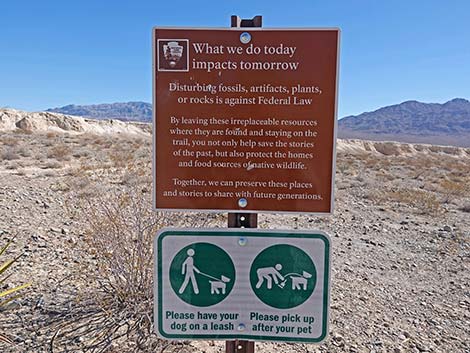 What we do today affects tomorrow -- do your part |
Continuing atop Mud-Ridge #4, hikers encounter another fork in the trail (Wpt. 07). As before, the main trail stays right (straight), while an old road drops off the mud-ridge into the gravel wash below. This is another short-cut for people who might need to cut short their hike. Continuing atop the mud-ridge, hikers now begin to head northwest. In this area, the ridge is broad, and the trail is faint (everything is just yellow mud), and trail markers are few and far between. If hikers simply continue northwest atop the mud-ridge, they will eventually begin to see carsonite trail markers again. Before long, hikers reach a T-intersection of old roads (Wpt. 08). Here, the Long Loop trail turns left and begins heading back towards the trailhead. The trail runs down off the top of Mud-Ridge #4, winds between mud-hills, and crosses a gravel-valley. This is the west end of Gravel-Valley #3, and on the far side, the trail re-connects (Wpt. 09) with the other end of the Durango Loop Temporary Trail -- Short Version. |
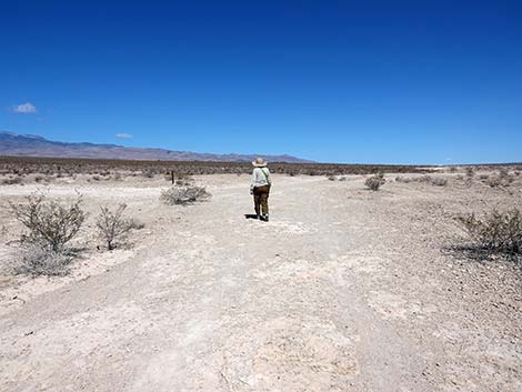
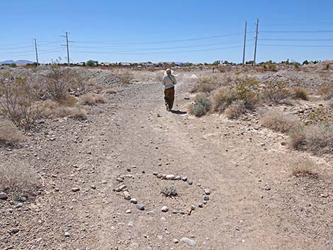
 Hiker on trail in the first gravel-valley (view E) |
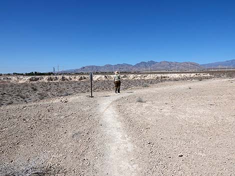
The Loop trail continues southeast around the end of Mud-Ridge #3 where the trail forks (Wpt. 10) again. Here, the trail takes the left fork and runs out across Gravel-Valley #2, around the end of Mud-Ridge #2, and into Gravel-Valley #1. Approaching the Tule Springs boundary fence, the trail forks again. Here, the trail turns left while a spur trail runs south to a (closed) gate in the boundary fence and out to Moccasin Road. Now running down Gravel-Valley #1, parallel to Moccasin Road, the trail runs eastward towards the trailhead (Wpt. 01), which is visible ahead. Approaching the trailhead (Wpt. 01), hikers can cut out through a gap in the boundary fence near the west end of the trailhead, or they can continue east to where the outbound trail initially dropped into the gravel wash, close the loop, and hike back up and westward to the trailhead kiosk (Wpt. 01), ending the hike. |
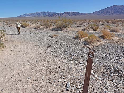
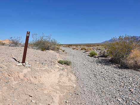
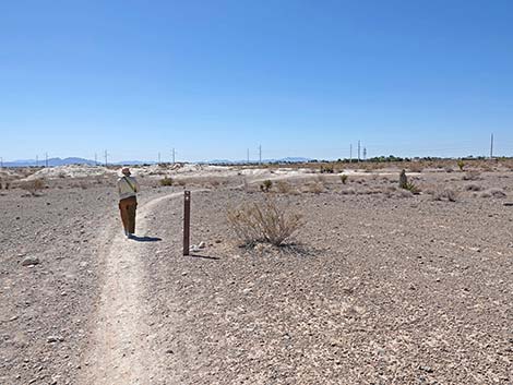
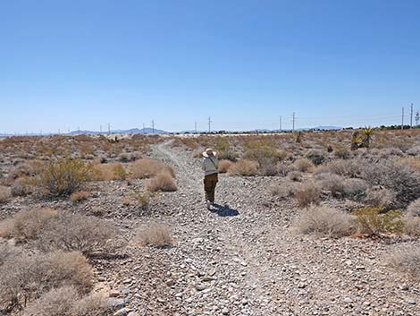
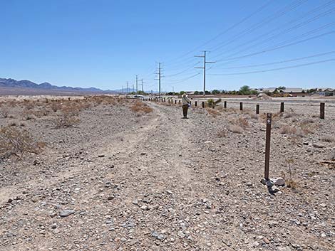
 Hiker passing the first carsonite trail sign (view NE) |
 Carsonite trail sign; watch for direction arrows (view NE) |
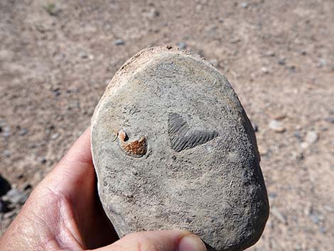 Paleozoic seabed fossils (coral and brachiopods) in the limestone cobbles |
 Hiker turning into Las Vegas Wash (view NE) |
 The trail runs up Las Vegas Wash (view N) |
 Hiker in Las Vegas Wash passing end of first mud-ridge (view N) |
 Hiker in Las Vegas Wash continuing past end of first mud-ridge (view N) |
 Trail in Las Vegas Wash continues past the first mud-ridge (view N) |
 Hiker in Las Vegas Wash entering the second gravel-valley (view N) |
 Hiker in Las Vegas Wash continues across the second gravel-valley (view N) |
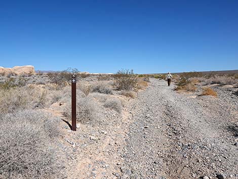
 When questions arise, carsonite signs mark the way (view NW) |
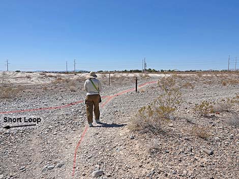
 The trail forks: Short Loop left, Long Loop right (view N) |
 Staying right on the Long Loop (view N) |
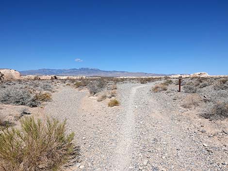
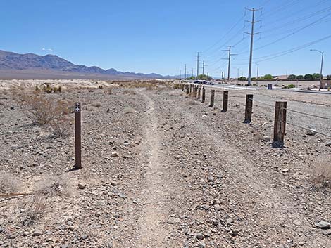
 Stones and a carsonite sign mark a fork in the trail (view N) |
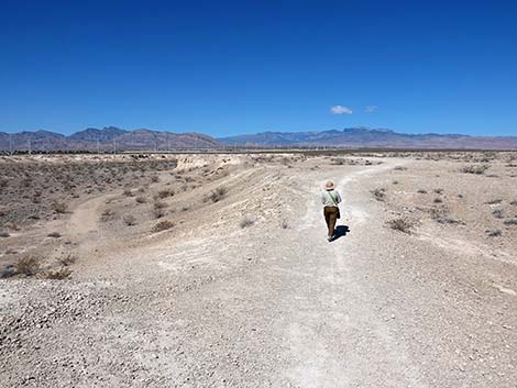
 Approaching the steepest part of the trail (view N) |
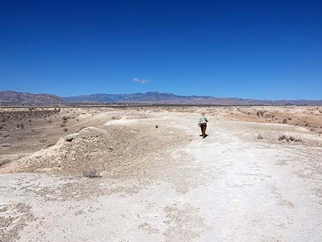 Hiker on trail atop the third mud-ridge (view W) |
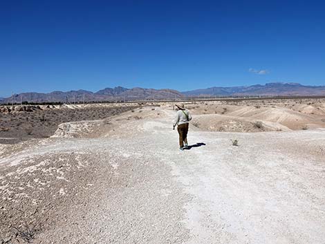 Hiker on trail atop the third mud-ridge (view W) |
 Keep an eye out for carsonite trail markers (view W) |
 Old road off the mud-ridge provides a shortcut back (view W) |
 Hiker on trail atop the third mud-ridge (view W) |
 Hiker approaching detour sign (view W) Hiker approaching detour sign (view W) |
 Detour sign (view W) |
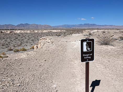
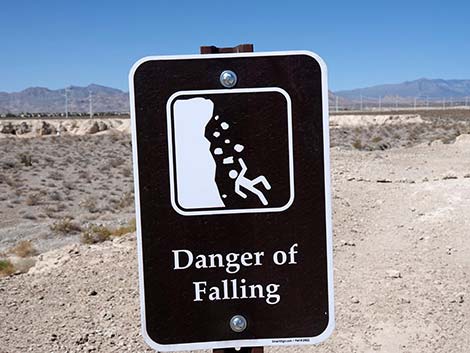 Danger: the trail head is undercut (view W) |
 The other end of the detour is visible from this point (view W) |
 Hiker detouring through the mud Hills (view NW) |
 Hiker approaching the end of the detour (view SW) |
 Hiker back on the main trail (view SW) |
 Hiker back on the main trail (view SW) |
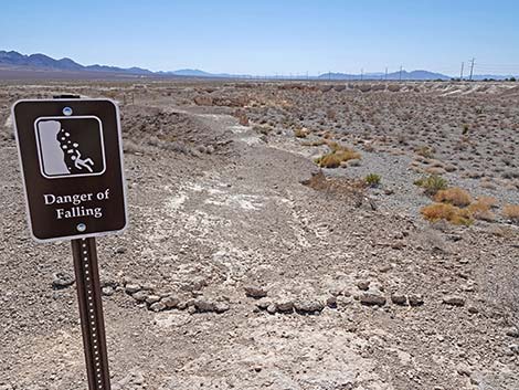 Looking back: another danger sign (view SE) |
 Hiker continuing on the main trail (view SW) |
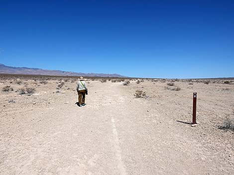
 Trail entering an area with few carsonite signs (view NW) |
 Hiker found the next carsonite sign (view NW) |
 Hiker approaching the west end of the third mud-ridge (view NW) |
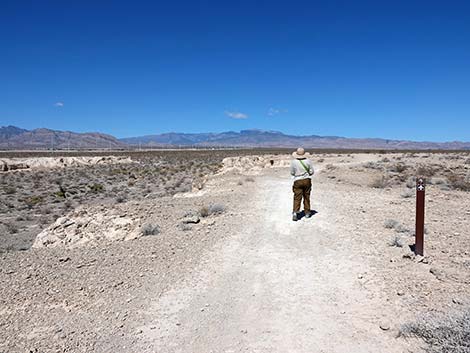
 Hiker approaching T-intersection (view NW) |
 Hiker turning left at T-intersection (view W) |
 Hiker at edge of mud-ridge (view S) |
 Trail descends off mud-ridge (view S) |
 A well used illegal dirt bike trail joins the main trail (view S) |
 Hiker approaching a wash (view S) |
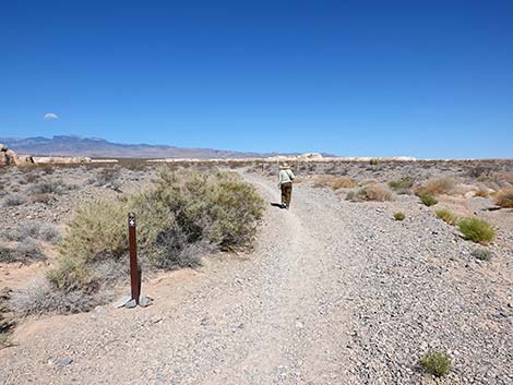
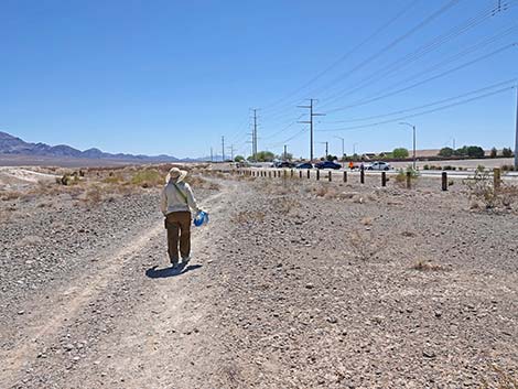
 Carsonite signs mark the route across desert flats (view SE) |
 Trail crossing a low mud hill (view SW) |
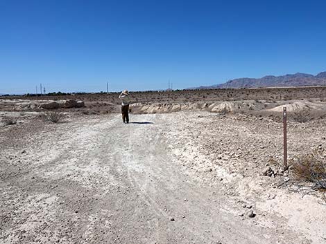
 Hiker starting across the third gravel-valley (view SE) |
 Hiker at trail junction connecting with west end of the Short Loop (view S) |
 Hiker crossing west end of the second mud-ridge (view S) |
 Atop second mud-ridge, first view of the trailhead (view S) |
 Hiker staying left at trail junction (view SE) |
 Hiker staying left at trail junction (view SE) |
 Carsonite signs mark the route along edge of second mud-ridge (view SE) |
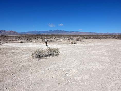
 Hiker starting across second gravel-valley (view SE) |
 Someone showing love for a small shrub in the trail (view SE) |
 Not visible, but hiker passing west end of the first mud-ridge (view S) |
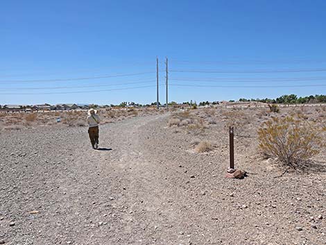
 Trail approaching the powerlines and boundary fence (view S) |
 Near the boundary fence, the trail turns left (view SE) |
 Hiker on trail paralleling Moccasin Road (view E) |
 Carsonite signs continue to mark the way (view E) |
 Hiker, carrying bag of trash, approaching trailhead (view E) |
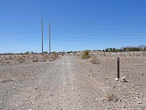
 At trailhead junction, hikers can continue straight or turn right (view E) |
 Hiker chooses to turn right (view S) |
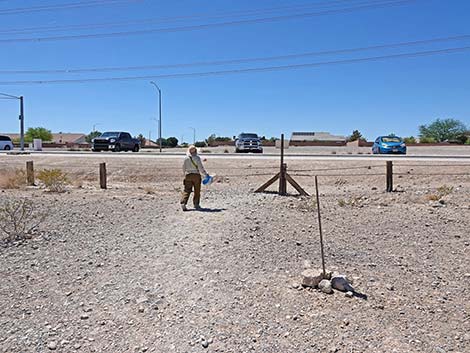
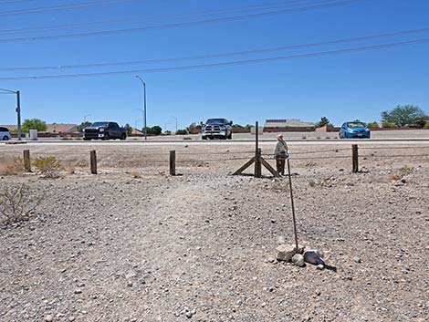 Hiker exiting through gate in boundary fence at trailhead (view S) |
 More to come ... |
Table 1. Hiking Coordinates and Distances based on GPS Data (NAD27; UTM Zone 11S). Download hiking GPS waypoints (*.gpx) file.
| Wpt. | Location | UTM Easting | UTM Northing | Elevation (ft) | Point-to-Point Distance (mi) | Cumulative Distance (mi) |
|---|---|---|---|---|---|---|
| 01 | Trailhead | 654471 | 4022602 | 2,526 | 0.00 | 0.00 |
| 02 | Junction with Wash | 654994 | 4022820 | 2,476 | 0.36 | 0.36 |
| 03 | Old Road Forks | 654668 | 4023132 | 2,535 | 0.29 | 0.65 |
| 04 | Fork in the Trail | 654612 | 4023200 | 2,524 | 0.06 | 0.71 |
| 05 | Top of Mud Ridge | 654553 | 4023257 | 2,532 | 0.05 | 0.76 |
| 06 | Trail Forks | 654408 | 4023195 | 2,542 | 0.10 | 0.86 |
| 07 | Trail Forks | 654005 | 4023170 | 2,571 | 0.28 | 1.14 |
| 08 | T-intersection | 653689 | 4023384 | 2,585 | 0.24 | 1.38 |
| 09 | Old Roads Intersect | 653880 | 4023025 | 2,582 | 0.28 | 1.66 |
| 10 | Old Roads Forks | 653912 | 4022910 | 2,580 | 0.08 | 1.74 |
| 11 | Powerline Road | 654115 | 4022622 | 2,570 | 0.24 | 1.98 |
| 01 | Trailhead | 654471 | 4022602 | 2,526 | 0.24 | 2.22 |
Happy hiking! All distances, elevations, and other facts are approximate.
![]() ; Last updated 240330
; Last updated 240330
| Hiking Tule Springs | Hiking Around Las Vegas | Glossary | Copyright, Conditions, Disclaimer | Home |