
Hiking Around Las Vegas, Gold Butte National Monument
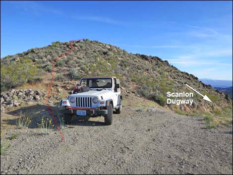 Trailhead parking atop Scanlon Dugway (view S) Trailhead parking atop Scanlon Dugway (view S) |
Overview Jumbo Springs Wilderness Area, located at the far southern end of Gold Butte National Monument, is extremely remote, steep, and rocky. It is so steep and rocky that there are few places where even hardy hikers can penetrate the boundaries -- truly a desert land best left to the lizards. The 1.2-mile, in-and-out, Scanlon Ridge route barely penetrates the wilderness area. Instead, the route climbs onto a ridgeline that more-or-less serves as the wilderness area boundary. Traversing the ridge and climbing onto a rocky highpoint, Jumbo Springs Peaklet (4,179 ft), hikers can get nice views into the wilderness area, although technically parts of the ridge are inside the wilderness area. The route leads hikers to surprisingly grand views that stretch from the Grand Wash Cliffs in Northern Arizona to high peaks in southern California.Link to hiking map. |
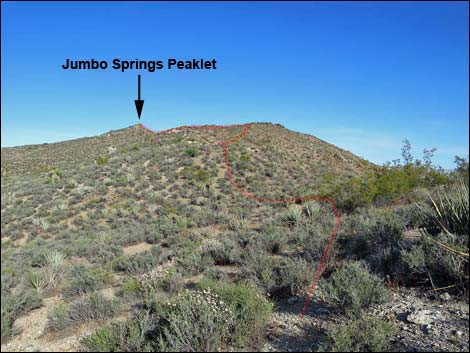 The route runs out along the ridge (view SE) |
Watch Out Other than the standard warnings about driving in the desert, ... this is a wild and remote area without services of any kind (no restrooms, no water, no gas, no food). Bring what you need to survive. Be prepared and be self-reliant. It is a big place, but someone will find you eventually if you stay on a main road, but be prepared to survive alone for a day or two, or even longer on side roads. Consider signaling the tourist helicopters that traverse the area coming and going from the Grand Canyon. This hike is relatively safe, but be extra careful on rocky outcrops and in places where hikers could fall into the wilderness area. While out, please respect the land and the other people out there, and try to Leave No Trace of your passage. Also, this is a remote area, so be sure to bring the 10 Essentials. |
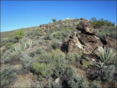 Metamorphic rocks and shrubs along the ridgeline (view SE) Metamorphic rocks and shrubs along the ridgeline (view SE) |
Getting to the Trailhead The Jumbo Springs Wilderness Area -- Scanlon Ridge Route, is located out in Gold Butte National Monument at the northeast end of Lake Mead, about 5 hours northeast of Las Vegas in a wild, remote, and scenic area. From town, drive out to Gold Butte National Monument. From Whitney Pocket, continue south on the unpaved Gold Butte Road to Gold Butte Townsite. From there, Scanlon Road is the main road running southwest. Drive south on Scanlon Road 14.6 miles to where the road crests a sharp ridge, which is the top of Scanlon Dugway. Stop on the ridgeline and park here; this is the trailhead. |
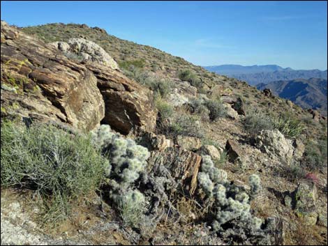 Rocks and Blue-diamond Cholla on the ridgeline (view SE) |
The Hike From the trailhead (Table 1, Waypoint 20), the route runs nearly due south up the ridgeline. Before too long, however, it becomes apparent that hikers need not climb to the highpoint, as it is easier to contour left into a saddle (Wpt. 21) on the ridgeline. On the ridgeline, the route continues eastward onto a knob with a view (Wpt. 22), which looks down the hillside (south and eastward) into the wilderness area. A bit beyond the first knob, the route climbs onto a second knob (Wpt. 23), and in this vicinity the route actually enters the wilderness area. Following the sometimes-rocky ridgeline southeast, the route climbs onto Jumbo Springs Peaklet (Wpt. 24), the highest point in the local area at 4,179 feet elevation. |
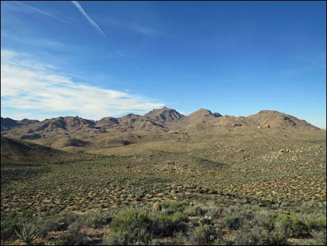 Jumbo Peak (view N from ridgeline) |
Views from Jumbo Springs Peaklet cover a vast landscape, including the Grand Wash Cliffs in Arizona, the mouth of the Grand Canyon, the Colorado River, south-facing slopes of Jumbo Springs Wilderness Area, peaks down across Arizona, Lake Mead, Mt. Potosi, Bonelli Peak, Valley of Fire, the Sheep Range, and the Jumbo Peak mountains. Better views can be had farther out the ridge to the east, and hikers might want to continue along the ridge following the Southern Ridges Route. If not, turn back west and follow your footprints back to the trailhead. When nearing the trailhead, it becomes apparent that there is a more direct route that avoids climbing over the last hill, and hikers can contour across the hillside into the trailhead. |
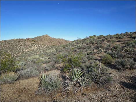 Ridgeline (view E to Jumbo Springs Peaklet) |
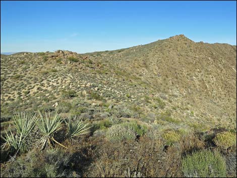 Ridgeline (view E to Jumbo Springs Peaklet) |
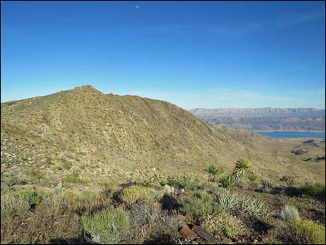 Ridgeline (view E; the steep hillside is in the wilderness area) |
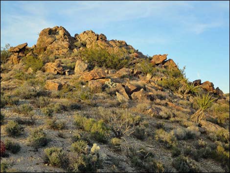 Rocky outcrop on the ridge (view E) |
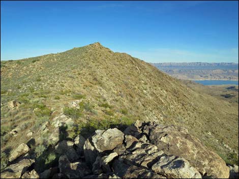 Atop the rocky outcrop (view E) |
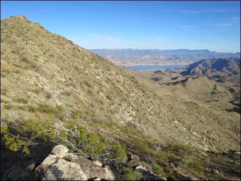 Ridgeline (view E; the steep hillside is in the wilderness area) |
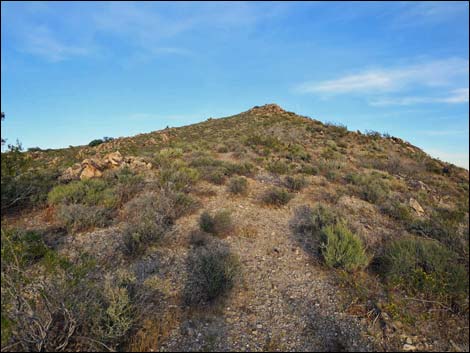 Ridgeline (view E) |
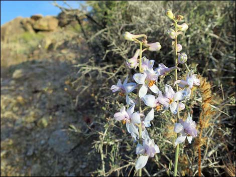 Blooming Desert Larkspur along the ridgeline |
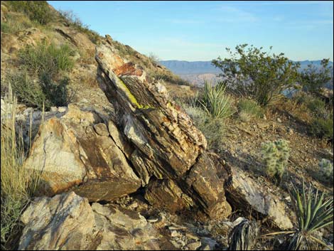 Artistic boulders and Blue-diamond Cholla (view E) |
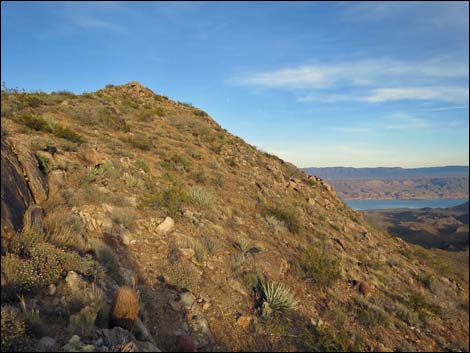 Off the side of the ridge is the wilderness area (view E) |
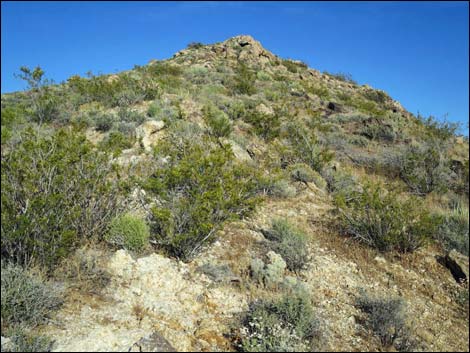 The summit looks so close (view E) |
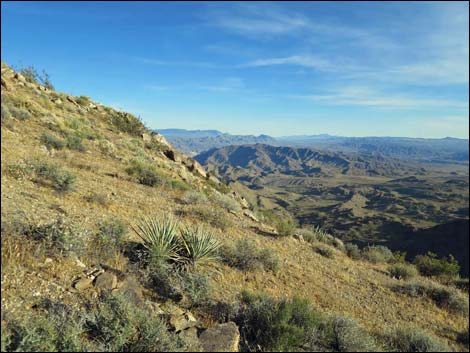 Off the side of the ridge is the wilderness area (view E) |
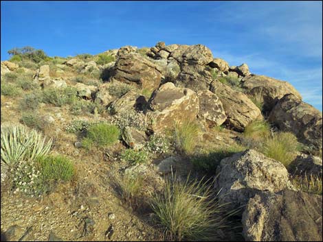 Approaching a false summit (view E) |
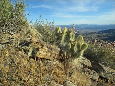 Grizzlybear Cactus and Mojave Buckwheat in the wilderness Grizzlybear Cactus and Mojave Buckwheat in the wilderness |
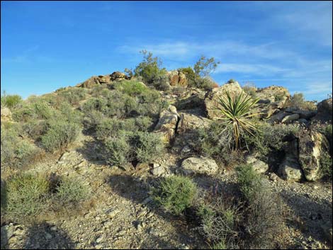 |
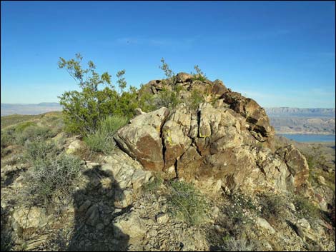 |
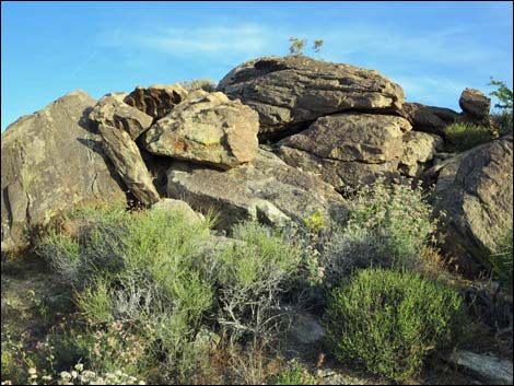 Finally, the summit? Nope, not yet ... |
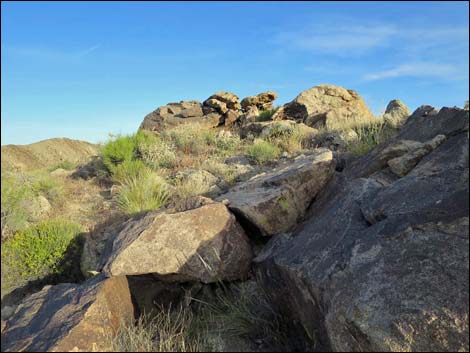 ... okay, here it is: Jumbo Springs Peaklet (4,179 ft; view SE) |
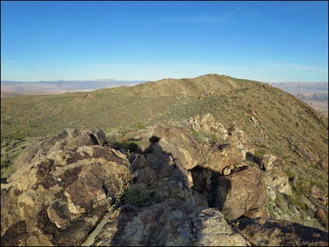 Jumbo Springs Peaklet (view E towards Peak 1320) |
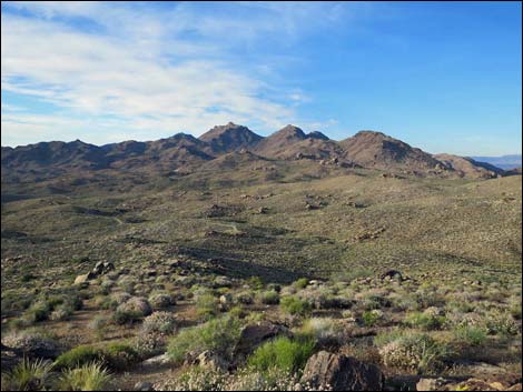 Jumbo Springs Peaklet (view N towards Jumbo Peak) |
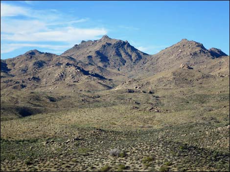 Jumbo Springs Peaklet (view N towards Jumbo Peak) |
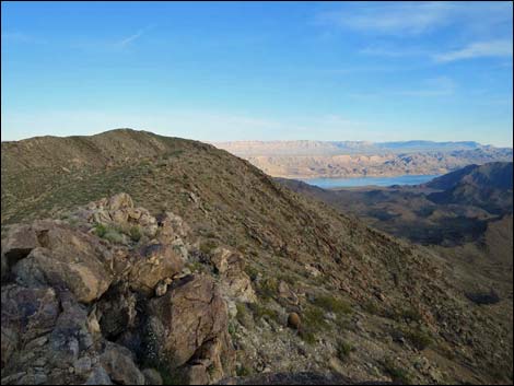 Jumbo Springs Peaklet (view SE towards Lake Mead) |
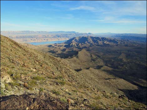 Jumbo Springs Peaklet (view SE towards the Grand Canyon) |
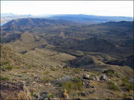 Jumbo Springs Peaklet (view S towards Lake Mead) |
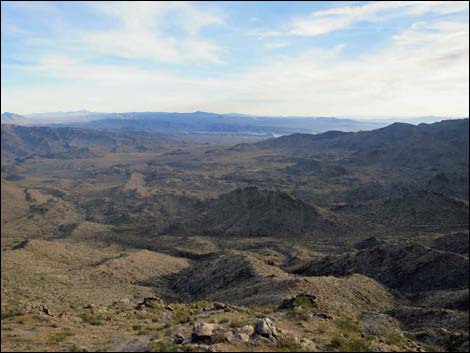 Jumbo Springs Peaklet (view S towards Lake Mead) |
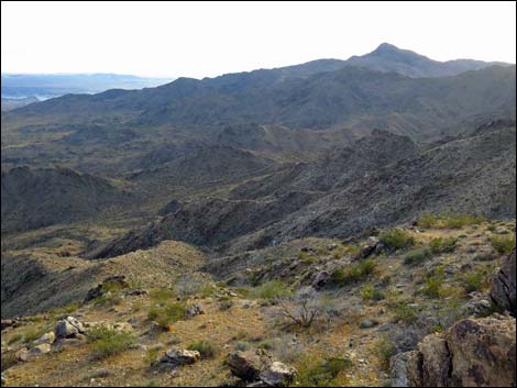 Jumbo Springs Peaklet (view W towards Bonelli Peak) |
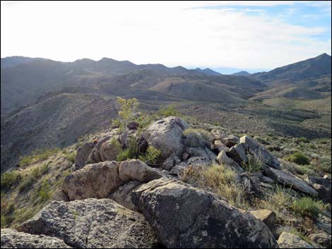 Jumbo Springs Peaklet (view WNW towards the trailhead) |
 more to come ... |
Table 1. Hiking Coordinates and Distances based on GPS Data (NAD27; UTM Zone 11S). Download hiking GPS waypoints (gpx) file.
| Wpt. | Location | UTM Easting | UTM Northing | Elevation (ft) | Point-to-Point Distance (mi) | Cumulative Distance (mi) | Verified |
|---|---|---|---|---|---|---|---|
| 20 | Scanlon Trailhead | 751871 | 4005263 | 3,940 | 0.00 | 0.00 | GPS |
| 21 | Ridgeline | 752026 | 4005107 | 3,935 | 0.14 | 0.14 | GPS |
| 22 | Knob with a View | 752232 | 4005015 | 4,027 | 0.16 | 0.30 | GPS |
| 23 | Highpoint at the Boundary | 752321 | 4005050 | 4,042 | 0.07 | 0.37 | GPS |
| 24 | Jumbo Springs Peaklet | 752651 | 4004980 | 4,179 | 0.25 | 0.62 | GPS |
| 20 | Scanlon Trailhead | 751871 | 4005263 | 3,940 | 0.62 | 1.24 | GPS |
Happy Hiking! All distances, elevations, and other facts are approximate.
![]() ; Last updated 240325
; Last updated 240325
| Hiking Around Las Vegas | Gold Butte | Glossary | Copyright, Conditions, Disclaimer | Home |