
Hiking Around Las Vegas, Gold Butte National Monument
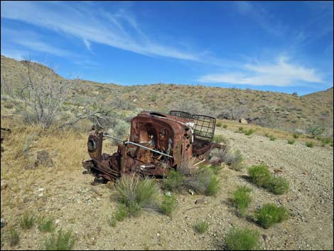 Historic truck at trailhead (view E) Historic truck at trailhead (view E) |
Overview Nevada Mica Mine is a surface mine where a deposit of muscovite (mica) is exposed at the land surface in a large outcrop of white quartz. Miners worked the area briefly and left a steep, deteriorating road (the trail), the surface mine site where mica was scraped from the hillside, lots of "ore" and mine tailings scattered about, plus several rusting vehicles and old mining debris at a camp area lower on the hillside. It is thought that Daniel Bonelli, who discovered this mica in 1873, worked it in the early 1890s. Obviously, the vehicles date from later days. The old road, used for the trail, runs from the camp area and continues 0.5 miles up to the mine site. This is an historic land with lots of grand scenery. Link to hiking map. |
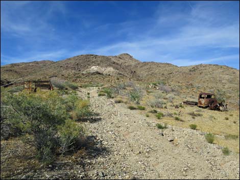 Approaching more old vehicles (view NE) |
Watch Out Other than the standard warnings about hiking in the desert, ... this is a fairly safe hike, but the area is wild and remote and without services of any kind (no restrooms, no water, no gas, no food). Bring what you need to survive. Be prepared and be self-reliant. It is a big place, but someone will eventually find you if you stay on a main road, but be prepared to survive alone for a day or two, or even longer on side roads. Consider signaling the tourist helicopters that traverse the area coming and going from the Grand Canyon. While out, please respect the land and the other people out there, and try to Leave No Trace of your passage. Also, this is a remote area, so be sure to bring the 10 Essentials. I don't know if it's enough to matter or not, but radioactivity was measured at the mine site and found to range from about 0.03 mR/hr (background) to 0.1 mR/hr (highest reading; US Atomic Energy Comm. Prelim. Reconn. 3333. Longwell et al., 1965). |
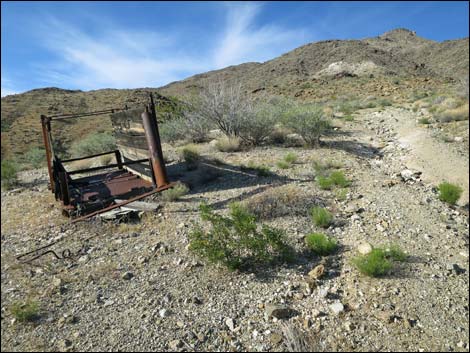 Close-up of old vehicle on the left (view NE) |
Getting to the Trailhead Nevada Mica Mine is located out in Gold Butte National Monument at the northeast end of Lake Mead, about 4.5 hours northeast of Las Vegas in a wild, remote, and scenic area. From town, drive out to Gold Butte National Monument. From Whitney Pocket, continue south on the unpaved Gold Butte Road to Gold Butte Townsite. From the townsite, continue southwest on the main road, which is now Scanlon Road. Drive south on Scanlon Road for 11.3 miles to Nevada Mica Mine Road, on the left. The road and mine site can be seen ahead across the wash climbing part way up Rattlesnake Peak. Turn left onto Nevada Mica Mine Road and drive 0.15 miles to the far side of the historic camp area. Park here; this is the trailhead. |
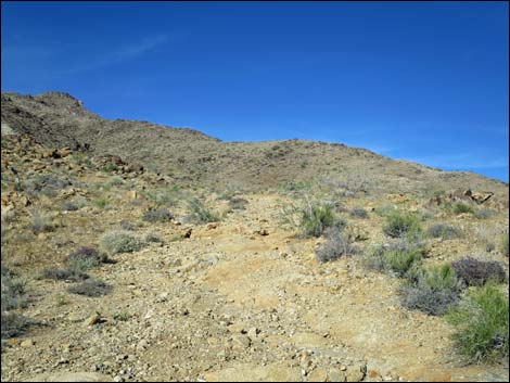 Road begins to get rocky crossing bedrock (view NE) |
The Hike From the trailhead (Table 1, Waypoint 01) at the old camp and work area, which is recognized by the plethora of old vehicles and historic junk, the hike continues up the old road. The old road climbs out of camp, passes a few more old vehicles, and quickly deteriorates. The road gets quite rough, then bends left into a flat area where a truckload of white quartz rock was spilled on the ground (maybe they rolled a truck here?). This spot makes the last good place for jeeps to stop and turn around before the road gets quite narrow as it climbs up and across the hillside above. Continuing, the old road winds steeply through three switchbacks and ends at the mine site. Wandering around the small mine site, hikers can continue south a few steps past the end of the road to what might have been a mine opening, and then climb up and north onto the top of the quartz outcrop overlooking the work area. In addition to the abundant mica, views from the mine site down into the canyon and out to the southwest are pretty good. |
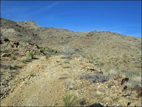 Rocky road crossing bedrock (view NE) |
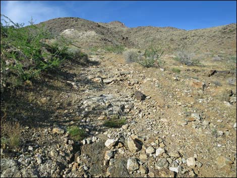 Steep road with loose rocks (view NE) |
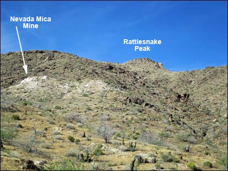 Nevada Mica Mine and quartz outcrops on hillside (view NE) |
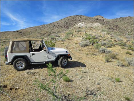 For drivers, it is best to walk from here (view NE) |
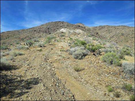 Steep old road (view NE) |
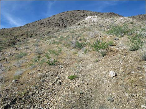 Steep old road (view NE) |
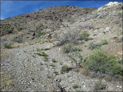 Approaching first switchback (view N) |
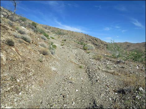 Approaching second switchback (view E) |
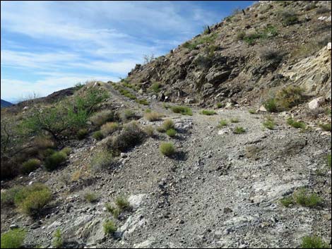 Turning second switchback (view NW) |
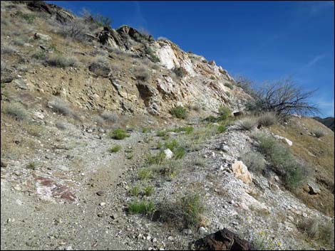 Turning third switchback (view S) |
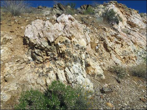 White quartz bedrock with lots of mica (view SE) |
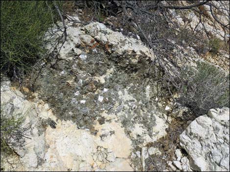 White quartz bedrock with lots of mica (view E) |
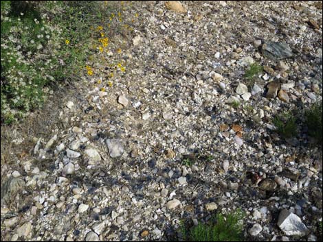 Thick layer of mica on the ground |
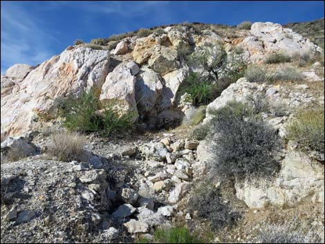 Possible collapsed mine opening (view N) |
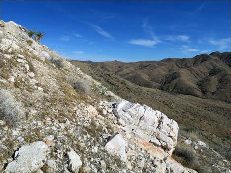 Quartz outcrop extends farther across the hillside (view E) |
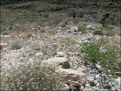 Mine tailings spilled down the hillside towards old road (view SW) |
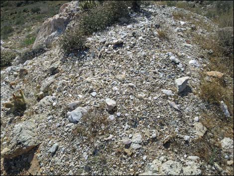 Atop the quartz outcrop, lots of mica on the ground (view W) |
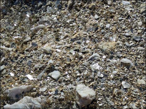 90% of ground covered by mica that reflects like mirrors |
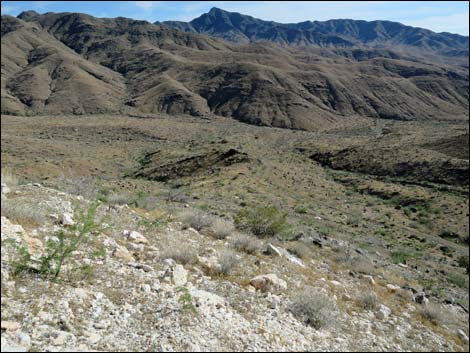 Mine site (view S to Bonelli Peak) |
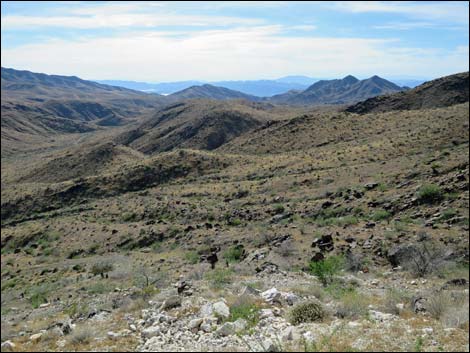 Mine site (view W to Muddy and Spring Mountains) |
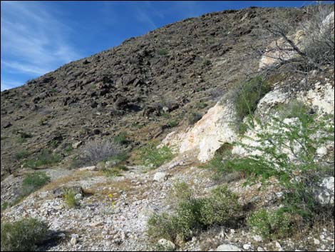 End of the road (view N when departing the area) |
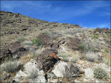 Start of the hike to Rattlesnake Peak (view NE) |
Table 1. Hiking Coordinates and Distances based on GPS Data (NAD27; UTM Zone 11S). Download Hiking GPS Waypoints (gpx) file.
| Wpt. | Location | UTM Easting | UTM Northing | Elevation (ft) | Point-to-Point Distance (mi) | Cumulative Distance (mi) | Verified |
|---|---|---|---|---|---|---|---|
| 01 | First Trailhead | 749566 | 4007937 | 3,337 | 0.00 | 0.00 | GPS |
| 02 | Second Trailhead | 749699 | 4008151 | 3,503 | 0.19 | 0.19 | GPS |
| 03 | Nevada Mica Mine | 749836 | 4008376 | 3,735 | 0.30 | 0.49 | GPS |
| 01 | First Trailhead | 749566 | 4007937 | 3,337 | 0.49 | 0.98 | GPS |
Happy Hiking! All distances, elevations, and other facts are approximate.
![]() ; Last updated 240325
; Last updated 240325
| Hiking Around Gold Butte | Hiking Around Las Vegas | Glossary | Copyright, Conditions, Disclaimer | Home |