
Backroads Around Las Vegas, Gold Butte

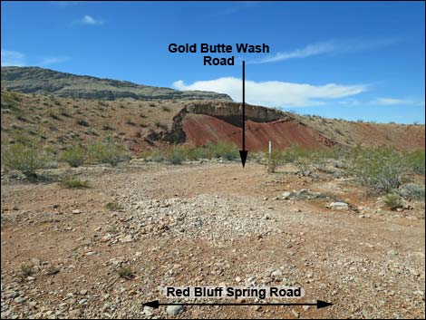 Gold Butte Wash Road (view W from Red Bluff Spring Road) |
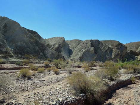
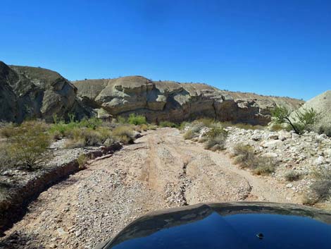
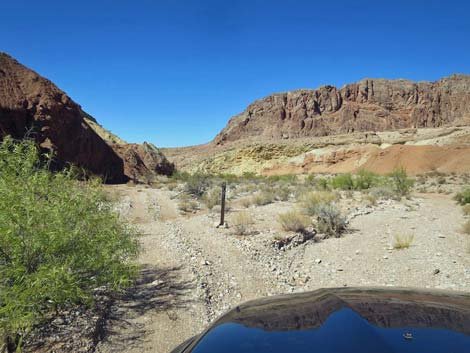
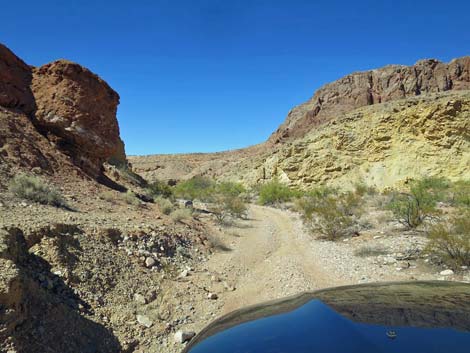
Overview Gold Butte Wash Road is a 2.3-mile two-track that runs north-south between Red Bluff Spring Road (part of the Gold Butte Backcountry Byway) at the south end and Narrows Road North at the north end. Most of the road washes away during flash floods, so now drivers just follow the wash, occasionally weaving between trees and rocks. The road runs down a fairly narrow canyon passing colorful outcrops of red and white sandstones and gray limestone. The canyon is well vegetated with desert wash species such as desert willow and honey mesquite. This road provides access to Gold Butte Wash Well, Lower Mud Wash, the lower end of Red Bluff Spring, and Mud Wash Narrows. It is also part of the Sand Wash--Mud Wash Loop that starts and ends at Whitney Pocket. The west side of the road is the boundary of Lime Canyon Wilderness Area, and so this road provides non-motorized visitor access to the mud hills off the north toe of Lime Ridge. Link to road map. |
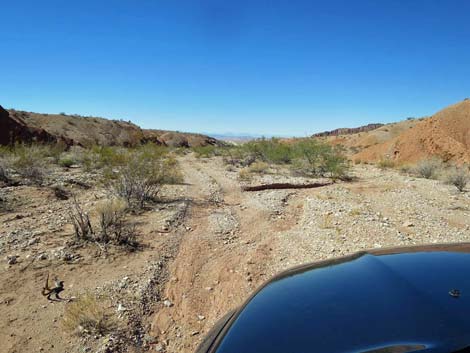
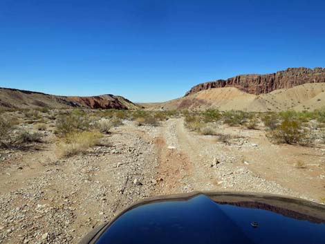
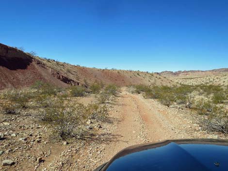 Starting north on Gold Butte Wash Road (view N) |
The road name comes from Gold Butte Canyon, even though it has no physical connection with the Gold Butte mining area. In the 1900s, when prospectors began traveling from St. Thomas to the gold mines at Gold Butte Townsite, they started out on the Grand Gulch Trail (the road to Grand Gulch Mine in Arizona). They crossed the Muddy and Virgin Rivers, came up Mud Wash through Mud Wash Narrows, and turned off the main road towards to gold mines by heading up this canyon. Thus, this was "the canyon to Gold Butte," or more simply: Gold Butte Canyon. Watch Out Other than the standard warnings, ... this road is fairly safe, but it runs into a wild and remote area without services of any kind. Bring what you need to survive. Be prepared and self-reliant. Someone will find you if you stay on main roads, but be prepared to survive alone for a day or more on side roads. Cell phones don't work. While out, please respect the land and the other people out there, and try to Leave No Trace of your passage. Also, this is a remote area, so be sure to bring the 10 Essentials. |
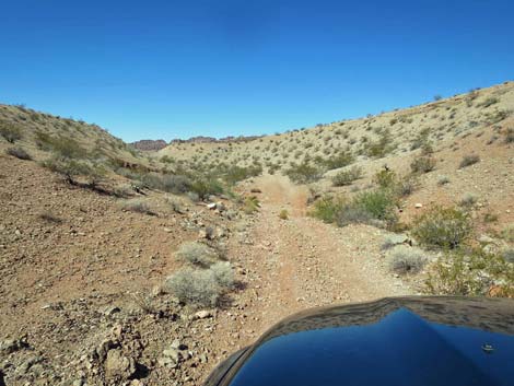 This is actually a tributary to Gold Butte Wash (view N) This is actually a tributary to Gold Butte Wash (view N) |
Getting to the Roadhead From Whitney Pocket, continue south on the unpaved Gold Butte Road for 3.9 miles to Mud Wash North Road. Turn right onto Mud Wash North Road and continue 3.2 miles southwest to Mud Wash Road. Stay right onto Mud Wash Road and continue generally west for 5.1 miles to the end of Mud Wash Road where Red Bluff Spring Road turns left out of the canyon. Drive south on Red Bluff Spring Road for 1.9 miles to Gold Butte Wash Road, on the right. |
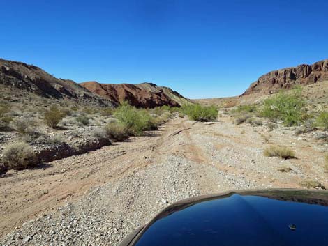
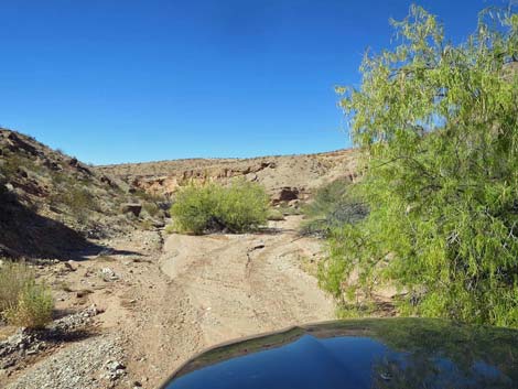
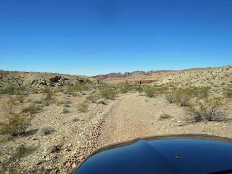 Staying above the wash (view N) |
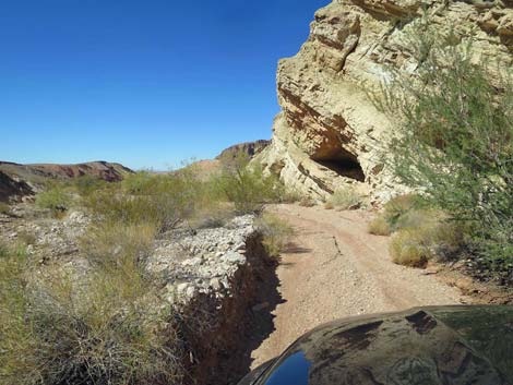
The Road From Red Bluff Spring Road (Table 1, Site 1624), Gold Butte Wash Road turns off to the west, then bends right to head north down a narrow side canyon that eventually merges with Gold Butte Canyon, generally staying just above the little wash. This part of the road has been graded, but it tends to wash out during flash floods, and one wash crossing tends to be a problem, so be watchful. At about 0.3 miles out, the road passes the historic Gold Butte Wash Well (Site 1842), on the left. What is left of the well is surrounded by decaying wooden fence posts, some more recent metal posts, and rusted barbed-wire fencing. Some of the fence posts are railroad ties, so those date to about 1920 when the major mines played out and the railroads pulled up their metal tracks. Railroad ties, worthless to the railroads, were left behind to be harvested and used by ranchers and farmers. The details are lost to history, but this now-dry well may have served as potable water for travelers. The water in Mud Wash is "bitter," not potable for humans, because of the high mineral salt content that was said to be one of the best and most quick acting laxatives in the area. |
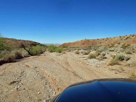
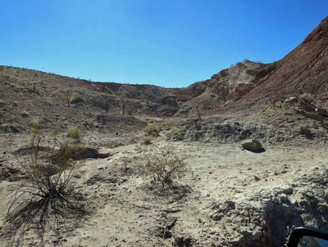
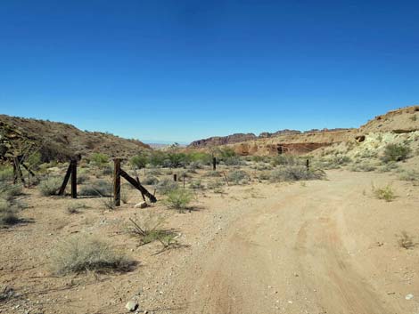 Approaching historic Gold Butte Wash Well (view N) |
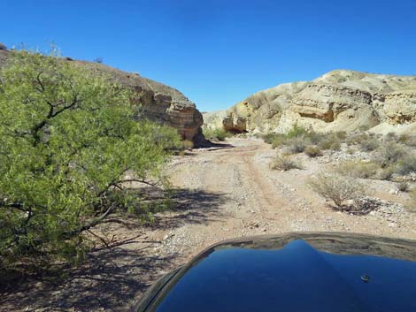
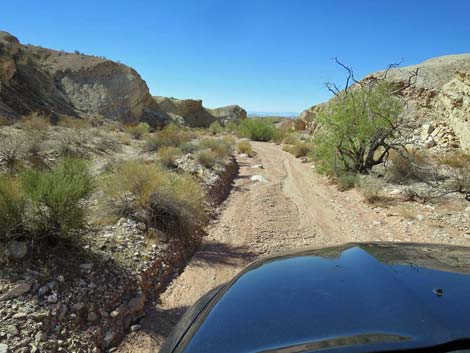
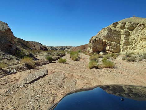
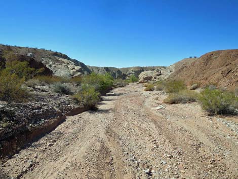
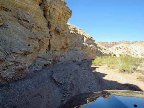
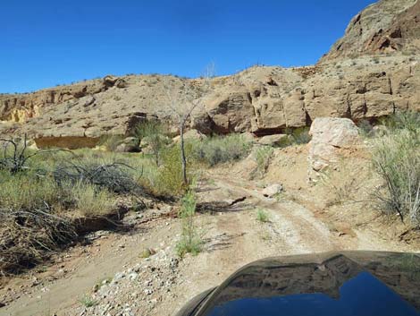
Beyond the well (Site 1842), the 2-track curves to the left and drops into Gold Butte Wash, proper. For the next 1.9 miles, the road runs down the wash between high canyon walls dodging trees and the boulders that get rearranged with each flash flood. Eventually the road runs through a bit of a spring, and at about 2.3 miles out, pops out of the narrow canyon into the relatively broad Mud Wash Canyon where the road ends at a T-intersection (Site 1634) with Narrows Road North. At Narrows Road North (Site 1634), drivers can return to Whitney Pocket, using Narrows North Road to Sand Wash Road to Black Butte Road to Gold Butte Road (paved), and right to Whitney Pocket. |
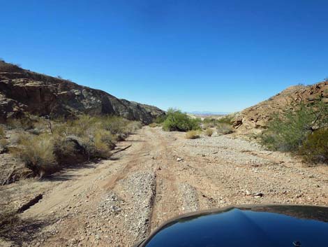
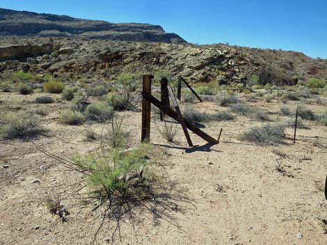 Historic railroad-tie fencing at Gold Butte Wash Well (view N) |
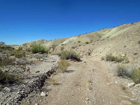
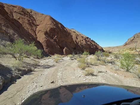
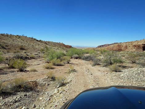 The road drops into Gold Butte Wash (view NW) |
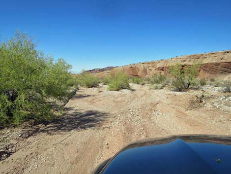 |
 |
 |
 |
 |
 |
 |
 |
 |
 |
 |
 |
 |
 |
 |
 |
 |
 |
 |
 |
 |
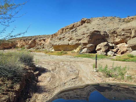 |
Table 1. Highway Coordinates Based on GPS Data (NAD27; UTM Zone 11S). Download Highway GPS Waypoints (*.gpx) file.
| Wpt. | Location | Latitude (N) | Longitude (W) | Elevation (ft) | Point-to-Point Distance (mi) | Cumulative Distance (mi) |
|---|---|---|---|---|---|---|
| 1624 | Red Bluff Spring Rd at Gold Butte Wash Rd | 36.44140 | 114.23124 | 1,884 | 0.00 | 0.00 |
| 1842 | Gold Butte Wash Well | 36.44508 | 114.23455 | 1,829 | 0.34 | 0.34 |
| 1634 | Narrows Road North at Gold Butte Wash Road | 36.46025 | 114.25991 | 1,556 | 1.93 | 2.27 |
Happy Hiking! All distances, elevations, and other facts are approximate.
![]() ; Last updated 240326
; Last updated 240326
| Backroads Around Las Vegas | Hiking Around Las Vegas | Glossary | Copyright, Conditions, Disclaimer | Home |