
Hiking Around Las Vegas, Gold Butte National Monument

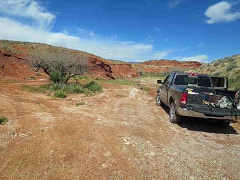 Trailhead parking at the turn-around loop (view NE) |
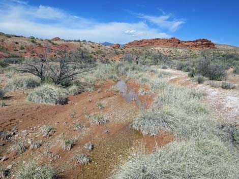
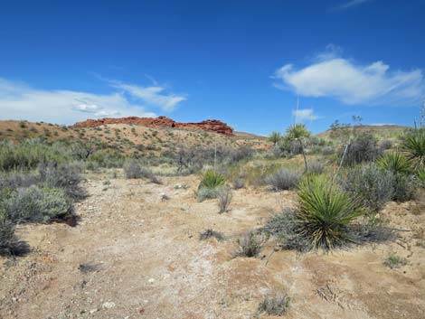
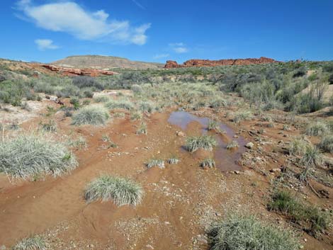
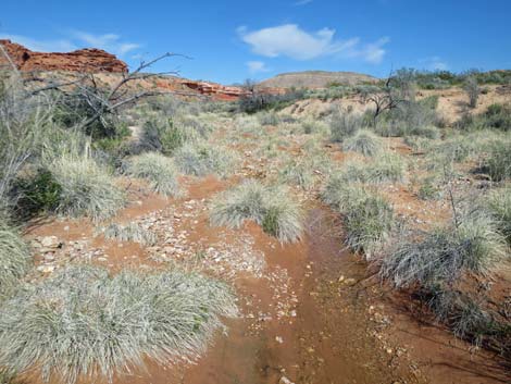
Overview The hike to Red Rock Springs and Hartman Tank is easy, nearly level, and runs only 2.5 miles round-trip, but there is no trail, and much of the hike is through dense vegetation with mud and water. The hike is unusual for this arid desert region because it runs along a stream, and while doing so, runs among colorful sandstone cliffs and provides the opportunity to see two species of desert toads, lots of birds, and other wildlife as they come in for water. Red Rock Springs often have water that flows down the wash, part of which is fenced to keep feral burros from trampling all of the desert riparian meadow. Hartman Tank is an area of eroded and water-sculpted red sandstone that once may have been dammed to hold water for cattle (hence the name "tank"), but now is just a deep plunge pool where water collects at the bottom of a pour-over after storms. Link to area overview map or hiking map. |
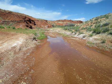 Starting up the wash (view NE) |
The names and locations of these springs are problematic. There are several springs in this area. The USGS topo map, the official repository of place names, marks "Red Rocks Springs" (plural) as a single spring, but that spot seems arbitrary because it is just a wet spot along the streambed. The topo map also lists Hartman Tank, where a tank usually refers to a reservoir, and may depict the location (incorrectly) as a tiny pond (which it is not). The springs marked on the map here represent actual spots on the ground. Three names (Red Rock Spring, Red Rock #1, and Red Rock #2) were taken from a survey published in 1930. Red Rock #3 is a spring (listed as the only spring in the area on Google maps), but Google lists the name as Red Rock Spring, which is incorrect; the name used here (Red Rock #3) is made up. Aerial imagery suggests that there are more unnamed springs in the area. For example, Red Rock #4 is a bit south of the main springs area. |
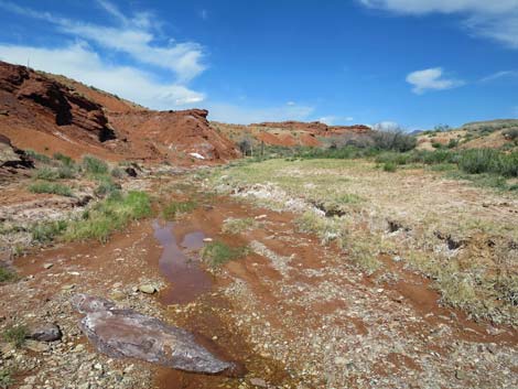 Muddy gravels (view NE) |
Watch Out Other than the standard warnings about hiking in the desert, ... this is a fairly safe area, but be careful when wet sand sticks to the bottom of your hiking boots and you scramble on the rockpiles along the wash. Please be careful inside the 2.5-acre fenced area; the fence is intended to protect part of this rare and fragile desert ecosystem from trampling by burros, but trampling by people is also a concern. Consider using burro trails outside the fence when hiking out. This is wild and remote country without services of any kind (no restrooms, no water, no gas, no food). Bring what you need to survive. Be prepared and be self-reliant. It is a big place, but someone will eventually find you if you stay on a main road, but be prepared to survive alone for a day or two, or even longer on side roads. While hiking, please respect the land and the other people out there, and try to Leave No Trace of your passage. Also, even though this hike is short, the area is remote, so be sure to bring what you need of the 10 Essentials. Cell phones don't work here. |
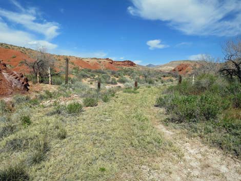 Approaching the post-and-cable fence (view NE) |
Getting to the Trailhead Red Rock Springs and Hartman Tank are located out in Gold Butte National Monument, south of Mesquite, Nevada, about 3 hours northeast of Las Vegas in a wild, remote, and scenic area. From town, drive out to Gold Butte National Monument. From Whitney Pocket, continue south on the unpaved Gold Butte Road for 3.9 miles to Mud Wash North Road. Turn right onto Mud Wash North Road and drive southwest and downstream for 3.2 miles to Mud Wash Road. Stay right onto Mud Wash Road, continuing downstream for another 4.0 miles to Little Finland Road, on the right. Turn onto Little Finland Road and drive east 1.0 miles to Red Rock Springs Road, on the left. Turn onto Red Rock Springs Road and drive northeast 0.1 miles to the end of the road. Park here; this is the trailhead. |
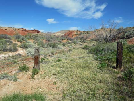 Ready to step over the post-and-cable fence (view NE) |
The Hike From the trailhead (Table 1, Waypoint 01), the route runs up the stream bed, over a post-and-cable fence, and up the streambed. There is a use-trail near the fence, but it quickly peters out and hikers are left to walk in the well vegetated wash. Always watch for snakes, and use extra care when you can't see your feet under the vegetation. Depending on the season and recent rainfall, hikers may encounter water in the wash right away (even along the access road) or farther up. If not before, at 0.40 miles out, hikers encounter a sandstone ledge (Wpt. 02) with water flowing over the edge. There is a nice plunge pool here that retains water -- and the occasional duck! Climbing past the sandstone ledge is easier than it looks on the right side (south), and upon gaining the top, a fence across the wash becomes evident. This is the lower edge of about 2.5 acres that is fenced to protect the fragile desert marsh from trampling by feral burros. |
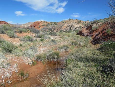 Wet streambed above the post-and-cable fence (view NE) |
Hikers can pass the fenced area on either side, but it is somewhat more scenic to cross the wash to the northwest side, climb the embankment, and walk along the outside of the fence with an elevated position above the wash. Otherwise, hikers can slog their way up through the wet meadow. Beyond the fence, hikers can drop back into the wash and walk up the wet streambed. At about 250 yards up from the fence, the wash forks (Wpt. 03). The main wash stays left, but a lesser wash comes in from the right. Up that wash, about 130 yards out, a cottonwood tree marks Red Rock #3 Spring (Wpt. 04). There isn't much water here, but the tree provides shade, and the ground is adorned with stream orchids in season. This is the spring marked on Google Maps as Red Rock Springs. Returning to the main wash (Wpt. 03), the route continues north through a well vegetated area. About 130 yards farther up the wash, hikers encounter the spot marked on USGS topo maps as Red Rock Springs, but it doesn't look much different from places up and down the wash. |
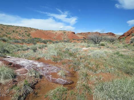 Sandstone, mud, and marsh vegetation (view NE) |
Continuing up the wash, hikers stay left at a fork and pass a pair of cottonwood trees (Wpt. 05), indicating that water is still present in the wash, not too far below the surface. A short bit farther (200 yards) up the wash, hikers encounter a red sandstone outcrop that blocks the wash. This is Hartman Tank (Wpt. 06), and although there is no "tank" (i.e., reservoir) here, the site is scenic and well sculpted by floodwaters that occasionally careen down the wash and fill the plunge pool. This is a good place to wander about, sit and think, eat a little lunch, wander a bit farther up the wash, and contemplate the forces of nature (wind and water) that created such a site. |
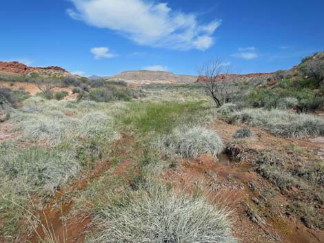 It is hard to keep your feet dry on this hike (view NE) |
When ready, follow your footprints in the damp sand back to the trailhead (Wpt. 01). Consider walking on the outside of the fenced area for easier walking and to avoid trampling the meadow area. Alternatively, consider making a long loop by heading west to visit Red Rock #1 Spring. This is an interesting area were the wash runs into a deep, narrow cleft with pools of water and several cottonwood trees. Stream orchids also adorn this area. Burro trails on both sides of the narrow gorge make for fairly easy walking. Heading down this wash, hikers encounter a high waterfall. By hiking farther down the wash, hikers can loop back up the gorge and visit the bottom of the falls. If hikers pick their spot carefully, they can make an easy loop back to the trailhead (Wpt. 01). |
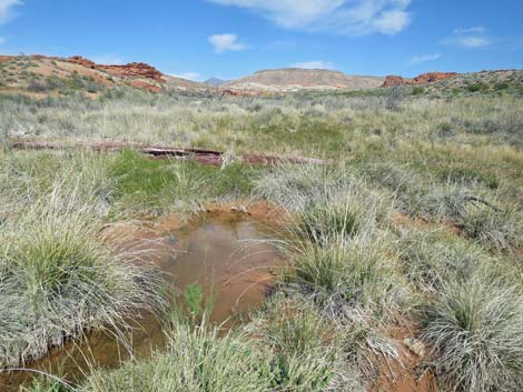 Well vegetated, wet meadow area (view NE) |
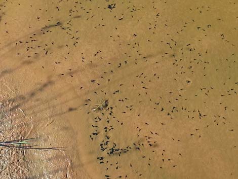 Red-spotted Toad tadpoles in a quiet stream pool |
 |
 |
 |
 |
 |
 |
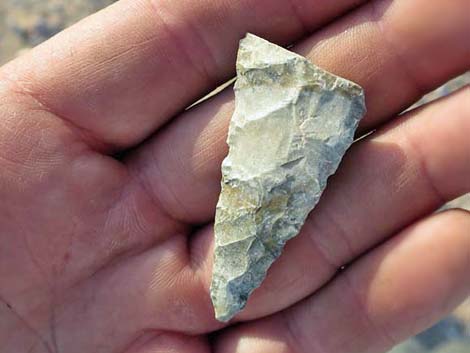 Someone has been here before |
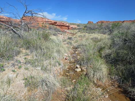
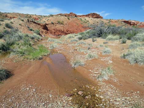 Small stream in the desert (view N) |
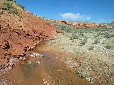 |
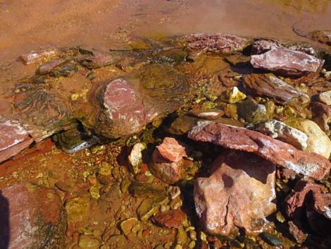 |
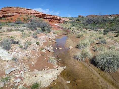
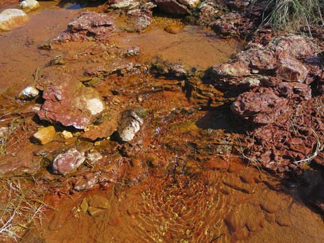 Riffles in the stream |
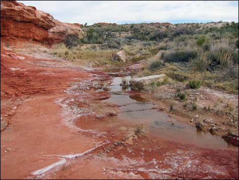 Stream flowing across red sandstone (view SE) |
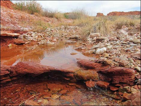 Water running over an edge (view NE) |
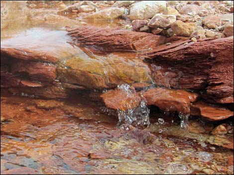 Close-up of a mini-waterfall (view NE) |
 |
 |
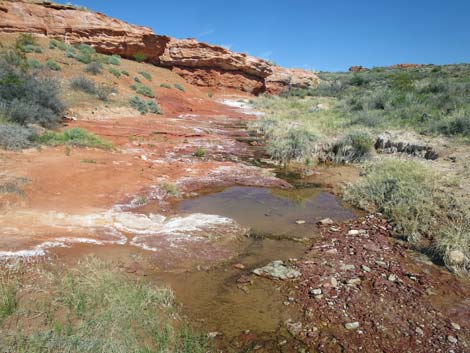 Small pools are important for little creatures |
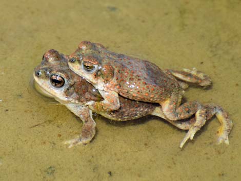 Red-spotted Toads fixing to make more |
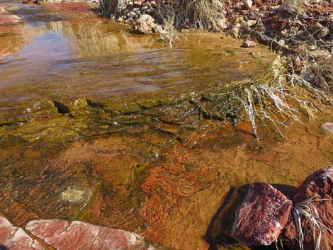 |
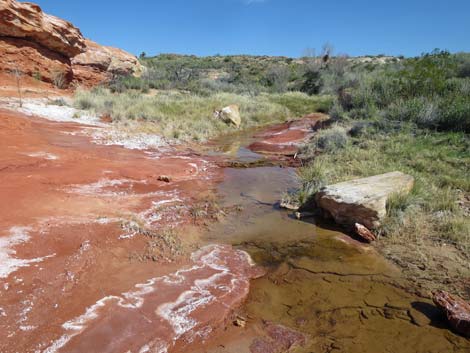 |
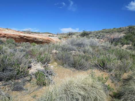 |
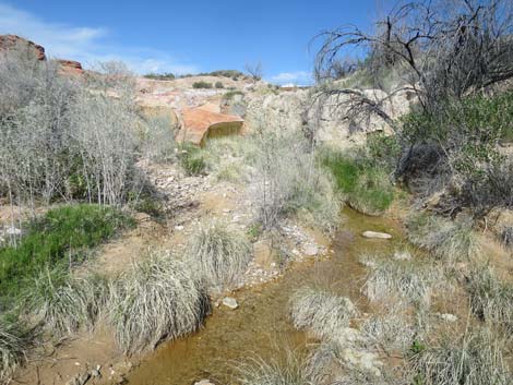 |
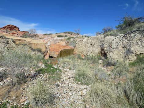 Approaching the sandstone ledge and waterfall (view NE) |
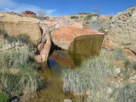 Sandstone ledge and waterfall (view NE) |
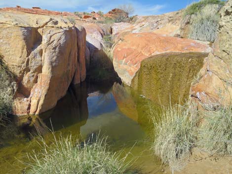 Plunge pool below the waterfall (view NE) Plunge pool below the waterfall (view NE) |
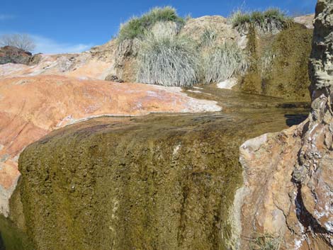 Sandstone ledge with waterfall (view NE) |
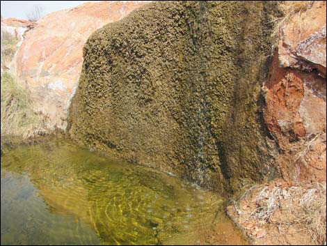 Sandstone ledge with waterfall (view N) |
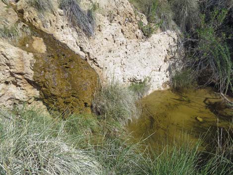 Another pool below the sandstone ledge (view SE) |
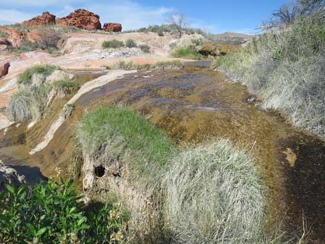 Climbing past the sandstone ledge (view N) |
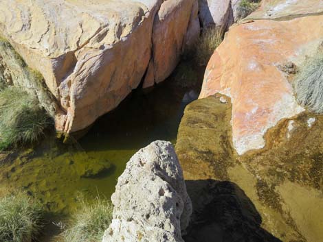 Atop the the sandstone ledge, looking down on the plunge pool |
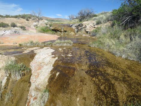 Stream above the sandstone ledge (view NE) |
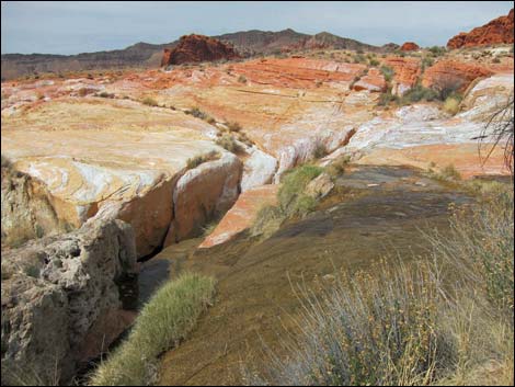 Atop sandstone ledge with waterfall (view N) |
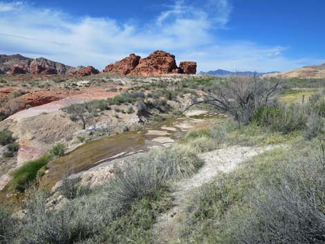 Climbing atop dirt bank past the sandstone ledge (view N) |
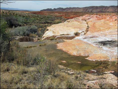 Sandstone ledge (view SW, downstream, from near fence (view N) |
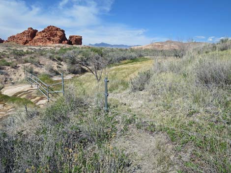 Pipe and barbed-wire fence prevents burros from trampling the marsh |
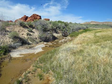 Climbing over the pipe fence (view NE) |
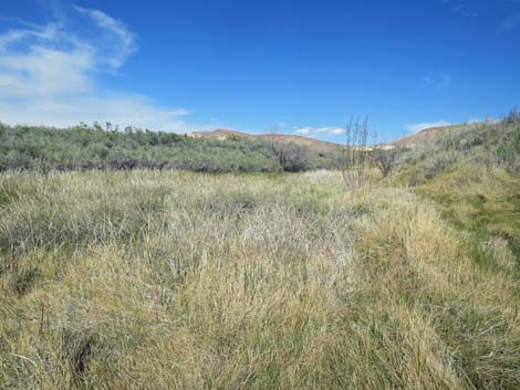 It is hard to watch for snakes in thick vegetation (view NE) |
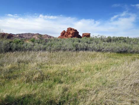 Rich marsh vegetation and red sandstone crag (view NW) |
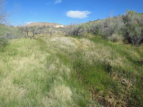 Wet marsh (view NE) |
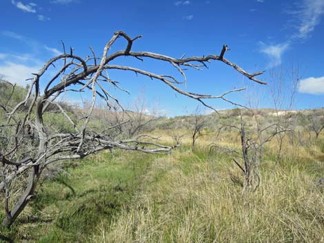 It's not clear why all of these trees died (view NE) |
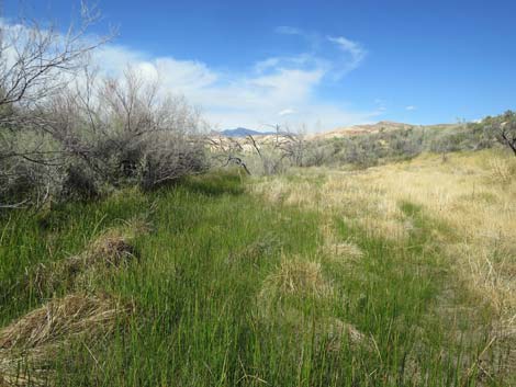 Wet marsh (view NE) |
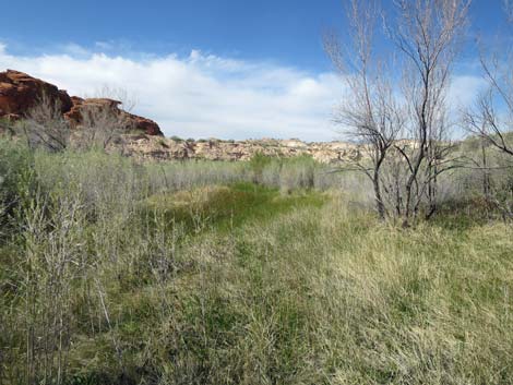 Wet marsh (view NE) |
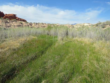 Wet marsh (view NE) |
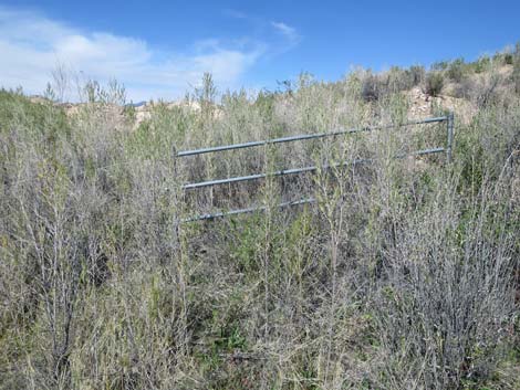 Approaching the upper pipe fence, suitable for climbing over |
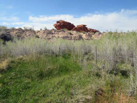 The streambed is bridged by a barbed-wire fence |
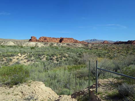 Outside fence, grand view from atop wash bank (view SE) |
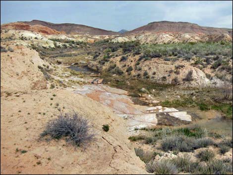 March 2013: Beyond fence (view NE from edge of embankment) |
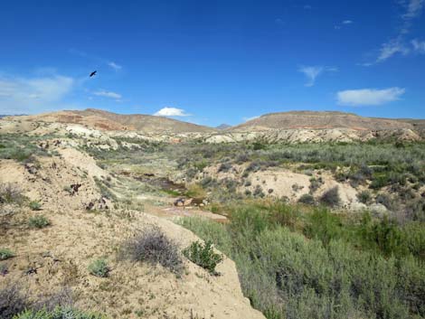 April 2020: notice the vegetation difference from 2013 |
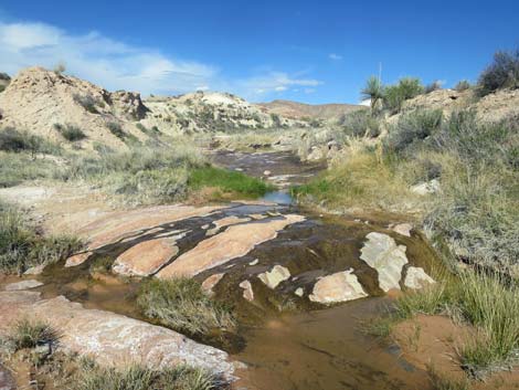 Streambed above fence (view NE) |
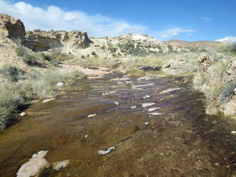 Water on sandstone (surprisingly not slippery) |
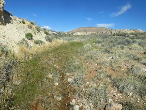 Water and mud along the stream (view NE) |
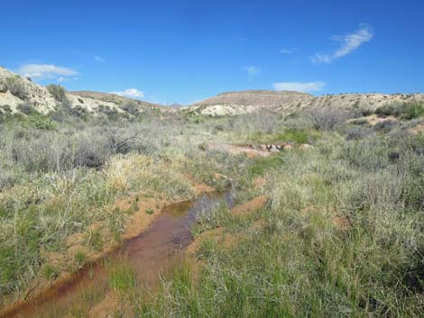 Quiet streambed (view NE) |
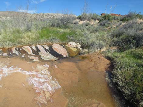 A tiny pour-over and a tiny plunge pool |
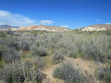 Dry ground above the streambed (view NE) |
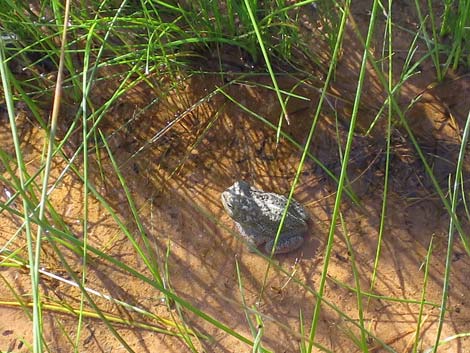 Woodhouse's Toad in the stream |
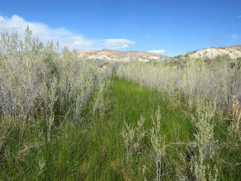 Vegetation along the stream (view NE) |
Detour to Red Rock #3 Spring
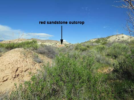 Narrow sidewash (view NE from main wash) |
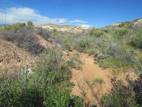 Lower down, the side wash is dry (view NE) |
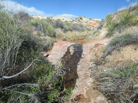 Water trickling over a sandstone ledge (view NE) |
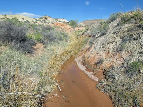 Pool of water in the streambed (view NE) |
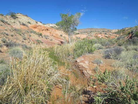 Approaching Cottonwood Tree at the spring (view NE) |
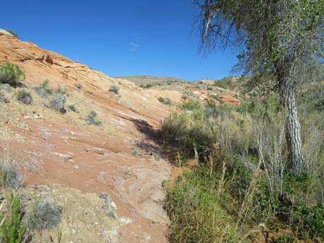 Cottonwood Tree at Red Rock #3 Spring (view NE) |
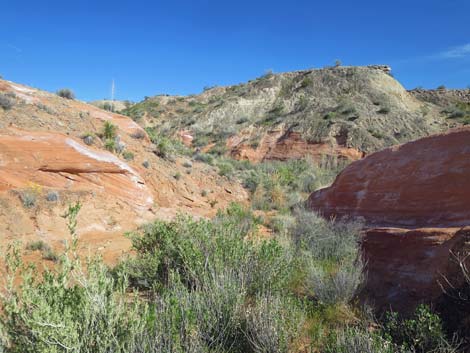 Canyon above Red Rock #3 Spring appears dry (view NE) |
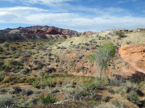 Red Rock #3 Spring (view N from hillside) |
Continuing up the Main Wash to Hartman Tank
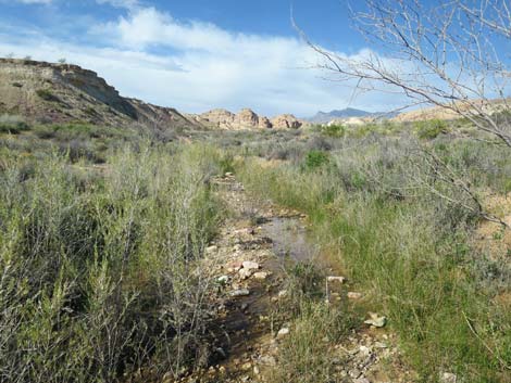 Continuing up the Main Wash to Hartman Tank (view N) |
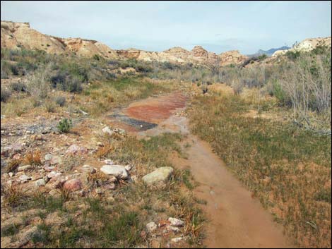 Small stream (view N) |
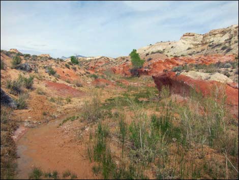 Cottonwood trees and wet soils (view N) |
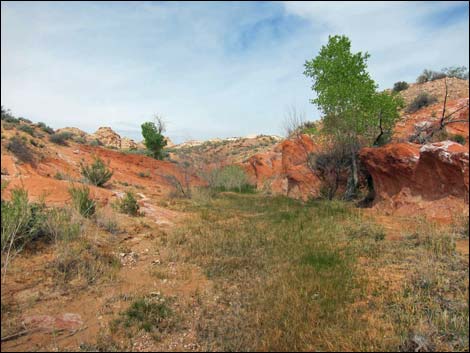 Cottonwood trees and damp soils (view N) |
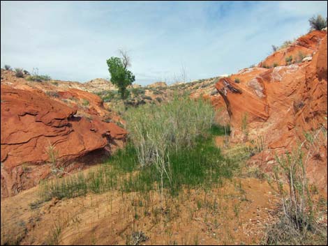 Upper cottonwood tree and red sandstone outcrops (view N) |
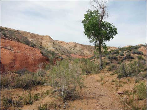 Upper cottonwood tree and dry streambed (view N) |
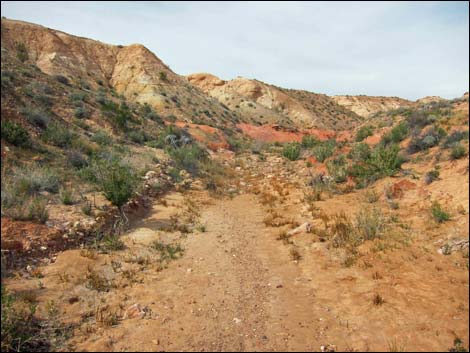 Dry streambed (view N) |
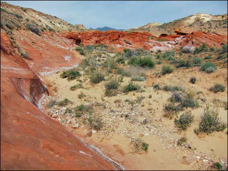 Hartman Tank: a red sandstone outcrop spans wash (view N) |
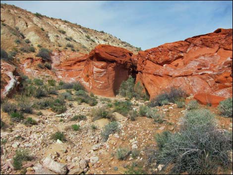 Approaching Hartman Tank (view N) |
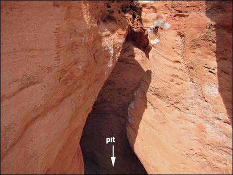 Looking down into the Hartman Tank plunge pool (view N) |
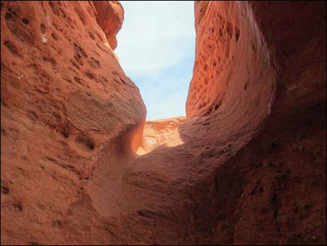 Looking up out of Hartman Tank (view N from the plunge pool) |
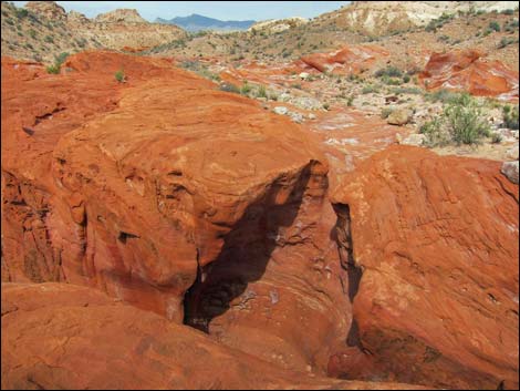 Hartman Tank (view SW into upper tank area) |
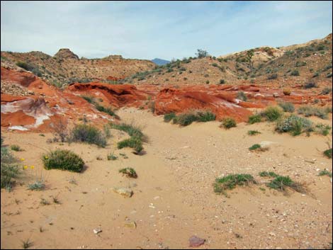 Continuing up wash above Hartman Tank (view N) |
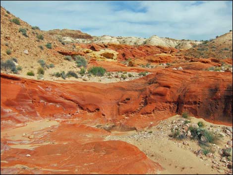 Continuing up wash above Hartman Tank (view N) |
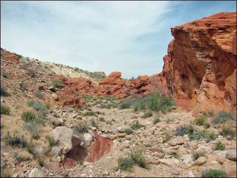 Continuing up wash above Hartman Tank (view N) |
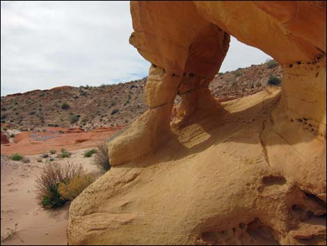 Continuing up wash above Hartman Tank (view N) |
Returning down the Wash
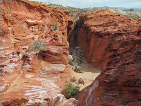 Above Hartman Tank (view S into the upper tank area) |
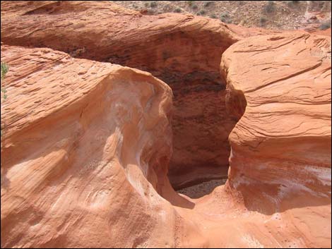 Hartman Tank (view SW into upper tank area) |
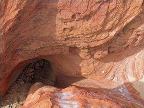 Hartman Tank (view SW into main pit) |
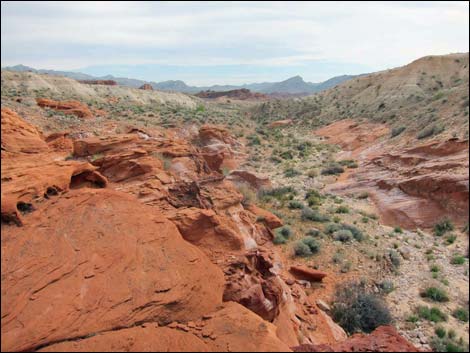 Departing Hartman Tank area (view SW) |
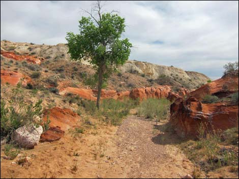 Returning past the cottonwood trees (view S) |
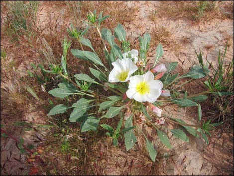 Birdcage Evening Primrose |
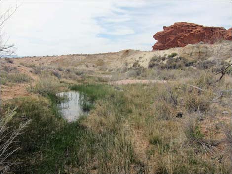 Pond in the wash above the fenced area (view SW) |
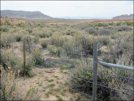 Upper end of fenced area; walking is easier outside fence (view SW) |
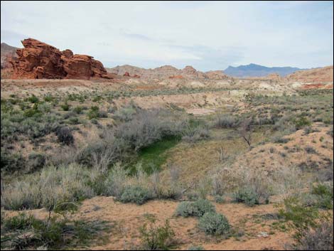 Looking into the fenced area from northwest side (view SW) |
 More to come ... |
Red Rock Spring #4 (bit south of the other springs)
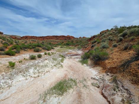 Wash below Red Rock Spring #4 |
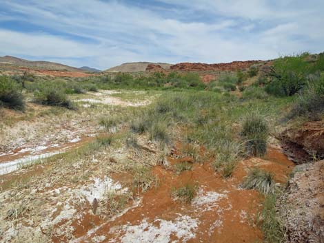 Approaching Red Rock Spring #4 |
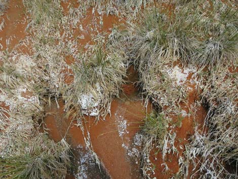 Water in the streambed at Red Rock Spring #4 |
 More to come ... |
Table 1. Highway Coordinates and Distances based on GPS Data (NAD27; UTM Zone 11S). Download Highway GPS Waypoints (gpx) file.
| Wpt. | Location | UTM Easting | UTM Northing | Elevation (ft) | Point-to-Point Distance (mi) | Cumulative Distance (mi) |
|---|---|---|---|---|---|---|
| 01 | Red Rock Springs Trailhead | 749166 | 4038193 | 1774 | 0.00 | 0.00 |
| 02 | Red Rock Springs, Lower | 749785 | 4038269 | 1818 | 0.48 | 0.48 |
| 03 | Confluence of Washes | 750086 | 4038464 | 1879 | 0.28 | 0.76 |
| 04 | Red Rock Spring #3 | 750191 | 4038501 | 1890 | 0.08 | 0.84 |
| 03 | Confluence of Washes | 750086 | 4038464 | 1879 | 0.11 | 0.95 |
| 05 | Cottonwood Trees | 750226 | 4038888 | 1,911 | 0.30 | 1.25 |
| 06 | Hartman Tank | 750245 | 4039051 | 1,938 | 0.11 | 1.36 |
| 01 | Red Rock Springs Trailhead | 749166 | 4038193 | 1774 | 1.17 | 2.53 |
Happy Hiking! All distances, elevations, and other facts are approximate.
![]() ; Last updated 240326
; Last updated 240326
| Gold Butte | Rock Art | Hiking Around Las Vegas | Glossary | Copyright, Conditions, Disclaimer | Home |