
Backroads Around Las Vegas, Gold Butte

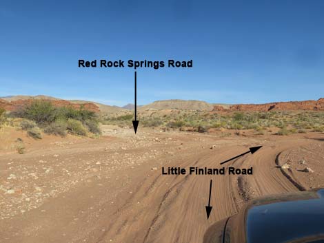 Little Finland Road approaching Red Rock Springs Road (view E) |
Overview Red Rock Springs Road is located out in Gold Butte, northeast of Las Vegas. This road is a spur off Little Finland Road and runs only 200 yards to a trailhead parking area for the Red Rock Springs and Hartman Tank hiking route. The road is mostly firm sand and passable in a 2WD-HC vehicle (assuming favorable conditions), but it would be safer in a 4WD because the sandy wash often has a bit of flowing water, and you just never know when a bit of soft sand will suck you down. Link to road map. |
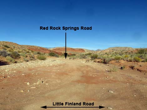 Red Rock Springs Road (view NE from Little Finland Road) |
Watch Out Other than the standard warnings about the desert, ... the road is safe and in fair condition for 2WD-HC vehicles, but this is a wild and remote area without services of any kind (no restrooms, no water, no gas, no food). Bring what you need to survive. Be prepared and be self-reliant. Someone will find you eventually if you stay on a main road, but be prepared to survive alone for a day, or even two or more days if you get off the main road. While out, please respect the land and the other people out there, and try to Leave No Trace of your passage. Also, this is a remote area, so be sure to bring the 10 Essentials. |
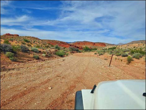 Red Rock Springs Road approaching designated route sign (view NE) |
Getting to Red Rock Springs Road Red Rock Springs Road is located out in Gold Butte northeast of Lake Mead, about 2-3/4 hours northeast of Las Vegas. From Las Vegas, drive out to Whitney Pocket at the end of the paved Gold Butte Road. Continue south on the unpaved Gold Butte Road for 3.9 miles to Mud Wash North Road on the right. Turn onto Mud Wash North Road and continue 3.2 miles southwest to a Y-intersection with Mud Wash Road. Stay right onto Mud Wash Road and continue generally west for 4.0 miles to a T-intersection with Little Finland Road, on the right. Turn onto Little Finland Road and drive east 1.0 miles to a T-intersection with Red Rock Springs Road, on the left. Watch for a broad wash on the left with a carsonite designated-route sign.See also the Gold Butte Area overview map. |
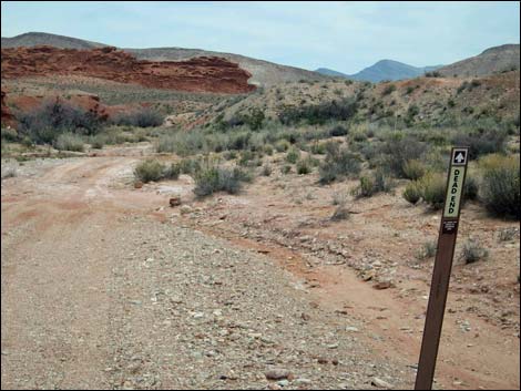 Designated route sign: dead end ahead (view NE) |
The Road From the intersection with Little Finland Road (Table 1, Site 1681), Red Rock Springs Road runs northeast up the Red Rock Springs Wash. The road runs in brick-red sand, and depending on the season, runs across and through flowing water. At about 0.1 miles out, the road ends (Site 1682) at a tight turn-around that loops around a big, old mesquite tree. Depending on the amount of mud and water, walkers might want to wander a few yards farther to post-and-cable fence that blocks the wash. There is parking in the wide area at the start of the turn-around loop that serves as the trailhead for the Red Rock Springs -- Hartman Tank hiking route. |
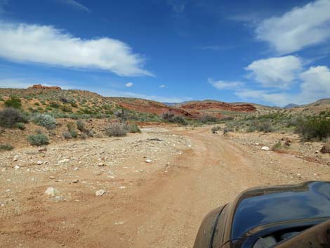 Starting onto Red Rock Springs Road (view SE) |
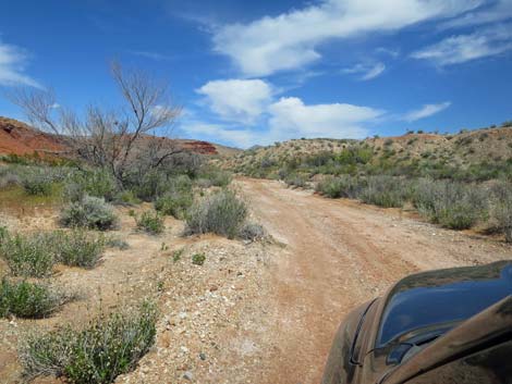 Rock Springs Road (view SE) |
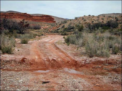 Low, muddy step, depending on conditions (view NE) |
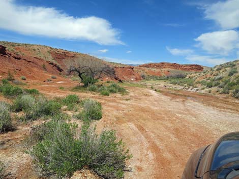 Approaching the end of Rock Springs Road (view NE) |
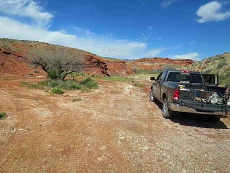 Entering the turn-around loop at the end of the road (view NE) |
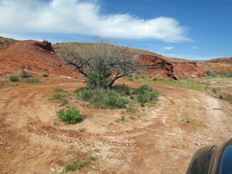 Turn-around loop at the end of Rock Springs Road (view NE) |
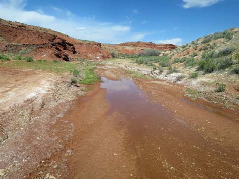 People can drive in the water, but there is little point (view NE) |
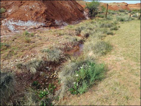 Flowers and water in Red Rock Springs Wash (view NE) |
Table 1. Highway Coordinates Based on GPS Data (NAD27; UTM Zone 11S). Download Highway GPS Waypoints (*.gpx) file.
| Wpt. | Location | Latitude (N) | Longitude (W) | Elevation (ft) | Point-to-Point Distance (mi) | Cumulative Distance (mi) |
|---|---|---|---|---|---|---|
| 1681 | Little Finland Road at Red Rock Springs Road | 36.45798 | 114.22105 | 1,781 | 0.00 | 0.00 |
| 1682 | Red Rock Springs trailhead parking | 36.45861 | 114.21960 | 1,774 | 0.11 | 0.11 |
Happy Hiking! All distances, elevations, and other facts are approximate.
![]() ; Last updated 240326
; Last updated 240326
| Backroads Around Las Vegas | Hiking Around Las Vegas | Glossary | Copyright, Conditions, Disclaimer | Home |