
Backroads Around Las Vegas, Gold Butte

 |
Overview Windmill Mine Road, a spur off Scanlon Road, is located out at the far southwest end of Gold Butte. At only 0.5 miles long, the road runs out to the historic Windmill Mine, leads to near the edge of the Jumbo Springs Wilderness Area, and traverses spectacular country in Jumbo Basin. Most of the road is fairly smooth and without too many rocks. The road is passable in a 2WD-HC vehicle, but it is safer in a 4WD vehicle because one part is steep and a bit rocky, plus getting to the road requires driving on Scanlon Road, which uses sandy washes and has some rough spots. Link to Windmill Mine Road Map. |
 Windmill Mine Road (view SSE from So. Fork of Twin Springs Wash) |
Watch Out Other than the standard warnings about driving in the desert, ... this is a wild and remote area without services of any kind (no restrooms, no water, no gas, no food). Bring what you need to survive. Be prepared and be self-reliant. It is a big place, but someone will eventually find you if you stay on a main road, but be prepared to survive alone for a day or two, or even longer on side roads. Consider signaling the tourist helicopters that traverse the area coming and going from the Grand Canyon. Stay out of the mine shaft, as it is never safe to enter old holes in the ground. While out, please respect the land and the other people out there, and try to Leave No Trace of your passage. Also, this is a remote area, so be sure to bring the 10 Essentials. |
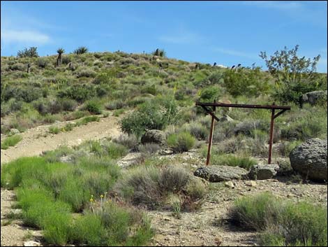 Supports for old windmill sign |
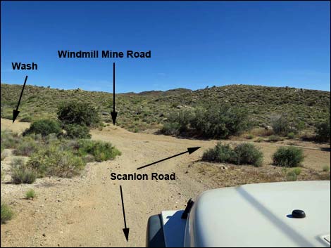
Getting to Windmill Mine Road Windmill Mine Road is located out in Gold Butte at the northeast end of Lake Mead, about 5 hours northeast of Las Vegas. From Las Vegas, drive out the paved Gold Butte Road for 21 miles to Whitney Pocket, then continue south on the unpaved Gold Butte Road for another 20 miles to Gold Butte Townsite. From there, Gold Butte Road ends and Scanlon Road is now the main road running southwest. Continue on Scanlon Road. Winding across hillsides and passing several minor side roads, Scanlon Road reaches a major, signed fork (4.1 miles out). One sign reads "Overton Arm" with an arrow to the right, and "Jeep Trail" with an arrow to the left. Here, Scanlon Road stays left on the "Jeep Trail." Scanlon Road runs southward and passes a large, old corral (6.8 miles out) and eventually drops into Twin Springs Wash (9.2 miles out). Following Scanlon Road up Twin Springs Wash into Jumbo Basin, at about 13.8 miles out, Windmill Mine Road continues straight when Scanlon Road turns right down a wash. |
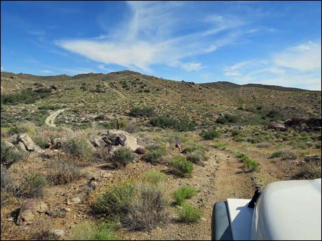 Road runs across rolling terrain (view SSE) |
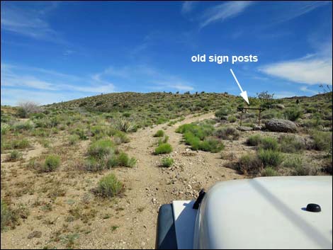
The Road From crossing the South Fork of Twin Springs Wash (Table 1, Site 1734), Windmill Mine Road continues south-southeast and up the gentle hillside, passing the supports for a hanging sign that has long since gone. The road runs across the gently rolling landscape, climbs one fairly steep and rocky hillside, and arrives at a fork (Site 1735). Here, the main road continues straight, while the road to the mine site turns right and runs down the hillside to Windmill Mine (Site 1736). Continuing straight, the main road climbs to a tight loop that wraps around a large campfire ring (Site 1737). A lightly used spur continues a short distance to the left, but it seems that most drivers stop at the campsite. This site serves as a trailhead for the Jumbo Springs Wilderness Area. |
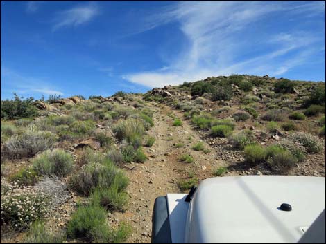 Starting up steep section (view SE) |
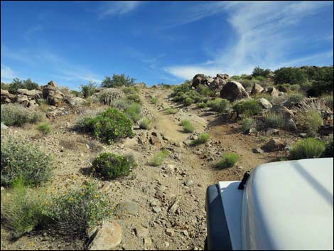 Approaching a few rocks on the steep section (view SE) |
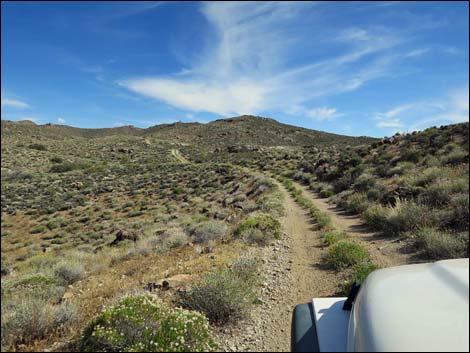 Road again runs across rolling terrain (view SSE) |
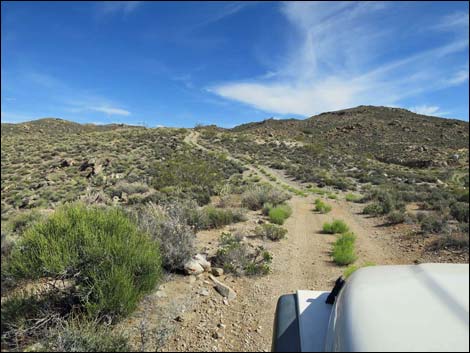 Gentle rolling terrain (view SSE) |
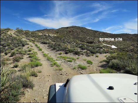 Road forks; mine site to the right (view SE) |
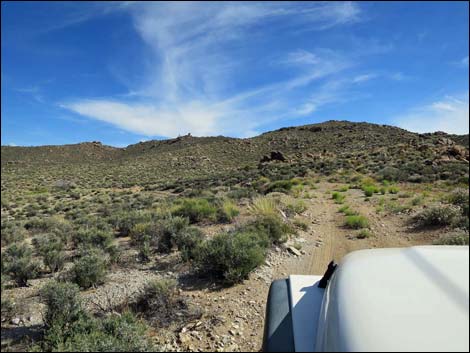 Approaching the turn-about loop (view S) |
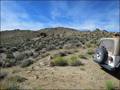 End of road; minor spur left; trailhead to Jumbo Springs (view S) |
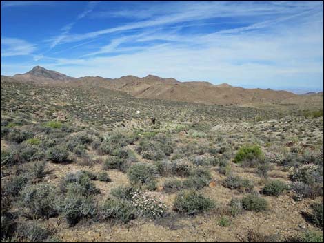 Mine site (view NW from end of the road) |
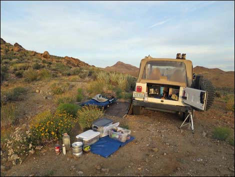 Low-impact campsite at the turn-about (view W) |
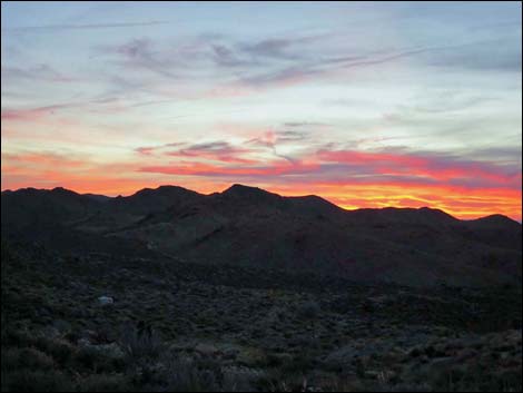 Sunset (view W across Bonelli Peak) |
Table 1. Highway Coordinates Based on GPS Data (NAD27; UTM Zone 11S). Download Highway GPS Waypoints (*.gpx) file.
| Wpt. | Location | Latitude (N) | Longitude (W) | Elevation (ft) | Point-to-Point Distance (mi) | Cumulative Distance (mi) | Verified |
|---|---|---|---|---|---|---|---|
| 1734 | Scanlon Rd at Windmill Mine Rd | 36.16759 | 114.19388 | 3,858 | 0.00 | 0.00 | Yes |
| 1735 | Windmill Mine Rd at Windmill Mine | 36.16230 | 114.19195 | 3,921 | 0.40 | 0.40 | Yes |
| 1737 | Windmill Mine Rd End | 36.16092 | 114.19092 | 3,969 | 0.14 | 0.54 | Yes |
| 1736 | Windmill Mine | 36.16121 | 114.19206 | 3,963 | . | . | Yes |
Happy Hiking! All distances, elevations, and other facts are approximate.
![]() ; Last updated 240326
; Last updated 240326
| Backroads Around Las Vegas | Hiking Around Las Vegas | Glossary | Copyright, Conditions, Disclaimer | Home |