
Hiking Around Las Vegas, Lake Mead National Recreation Area

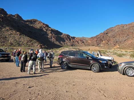 Hikers at parking area (view W) |
Overview This hike is an off-trail scramble in the River Mountains that runs through a deep and narrow canyon blocked by seven pour-overs, that is, blocked by "seven falls." The exact number of pour-overs depends on how, exactly, they are counted, but regardless, this canyon makes for a good scramble on volcanic rock. One of the pour-overs could be considered Class 2, but all of the others are Class 3 and Class 4. Some of the pour-overs can be bypassed, but this is a scrambling route. At the end of the canyon (2.2 miles out), hikers have several choices: return by the same route, return by Many Falls Canyon, return by other canyons, visit the teddybear cholla forest, or return via dirt roads. Hiker can even continue higher into the mountains climbing even more pour-overs. Link to map. |
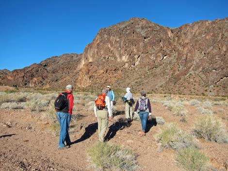 Hikers departing the trailhead (view W) |
Watch Out Other than the standard warnings about hiking in the desert, ...this is a scrambling route with plenty of Class 3 pour-overs. Be extra careful when high enough to fall and get hurt as a rescue from this canyon would be difficult and uncomfortable. A rope probably would not be useful, but some hikers might want one anyways. While hiking, please respect the land and the other people out there, and try to Leave No Trace of your passage. Also, this hike goes into difficult country, so be sure to bring the 10 Essentials. |
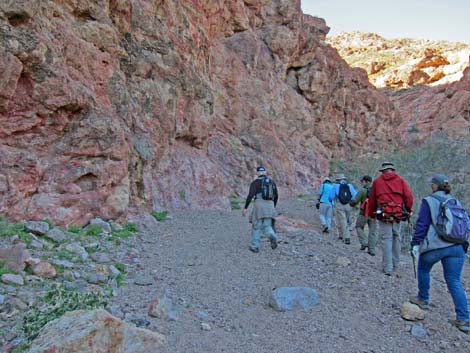 Canyon narrows (view SW) |
Getting to the Trailhead This hike is located in Lake Mead National Recreation Area, not far from the Visitor Center and directly up the hill from Boulder Beach. From town, drive out to the Boulder Beach area at Lake Mead. From Lakeshore Road at Mile Post 2, drive up to the Brown Tank Trailhead. Park here; this is the trailhead. |
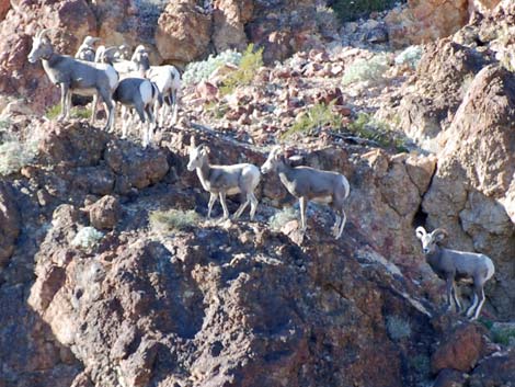 Bighorn Sheep on canyon walls |
The Hike From the trailhead (Table 1, Waypoint 01), the route goes north into the broad wash (avoiding the gated road and "closed area" signs), then turns west and runs up the gravel wash. In about 1/3 miles, the canyon narrows, and at about 1/2 miles, the canyon forks (Wpt. 02). Seven Falls Canyon lies to the right, and Many Falls Canyon, a possible return route, is to the left. Staying right, the first of the seven pour-overs (Wpt. 03) is quickly encountered. This one is a bit high, but fairly secure. In about 80 yards, the 2nd pour-over (Wpt. 04) is steeper, but a hole through boulders on the right edge permits easy spelunking. |
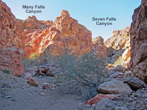 Canyon forks (Wpt. 02; view W) |
Continuing up the canyon, the 3rd pour-over (Wpt. 05) looks a bit imposing, but it can be climbed fairly easily on the right side. The 4th, 5th, and 6th pour-overs could be counted as a single pour-over with several steps, but seven falls are need, so these are counted individually. The 4th pour-over (Wpt. 06) is fairly easy, the 5th pour-over is harder (but bypassed on the right), and the 6th pour-over is difficult (but bypassed on the right by joining hikers who bypassed the 5th). From the top of the series (Wpt. 07), it looks there might be even more pour-overs down there. |
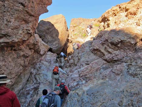 1st pour-over (Wpt. 03; view NW) |
Continuing, hikers soon encounter the 7th pour-over (Wpt. 08), and even another, but it is low, so why bother counting it. Shortly, the wash splits three ways (Wpt. 09) at what seems to be the end of Seven Falls Canyon. Here, the route turns left into a side canyon and quickly passes two more substantial pour-overs (Wpt. 10; Wpt. 11) before opening into a gentle canyon. The route runs south following the wash to a corner (Wpt. 12) where the wash bends to the west. Following the wash westward to the head of the canyon, the route climbs onto a saddle (Wpt. 13) with nice views to the east where even Lake Mead can be seen. |
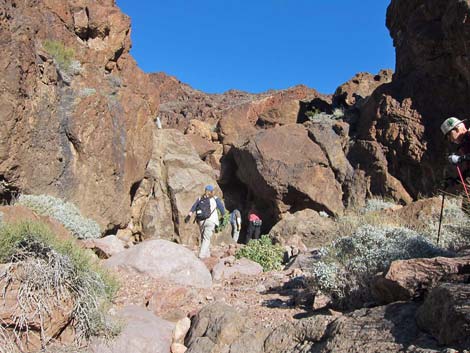 Approaching the 2nd pour-over (Wpt. 04) |
At this point, hikers need to decide on a return route. The simplest would be to follow footprints back down the canyon, but some hikers would object to downclimbing the pour-overs. Hikers could cross over the saddle, drop into a broad wash with a powerline road and follow dirt roads back to the trailhead, possibly visiting the Teddybear Cholla Forest first. Another option would be to downclimb Many Falls Canyon, which rejoins Seven Falls Canyon at the confluence (Wpt. 02) below the seven pour-overs. Many Falls Canyon is not for the faint of heart, but even those who objected to downclimbing Seven Falls Canyon made it down and out safely. |
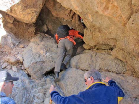 Spelunking the 2nd pour-over (Wpt. 04) |
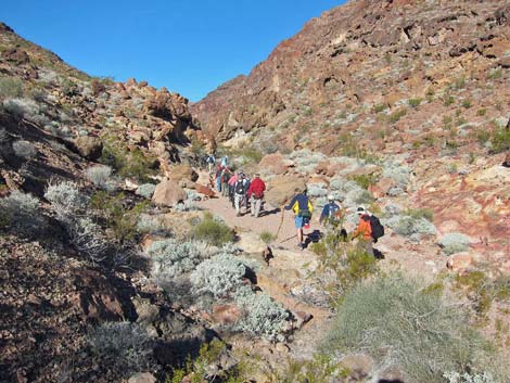 Hikers in the wash |
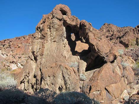 Natural art along the wash |
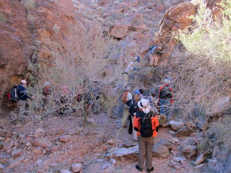 Approaching the 3nd pour-over (Wpt. 05) |
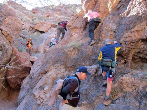 Hikers climbing the 3nd pour-over (Wpt. 05) |
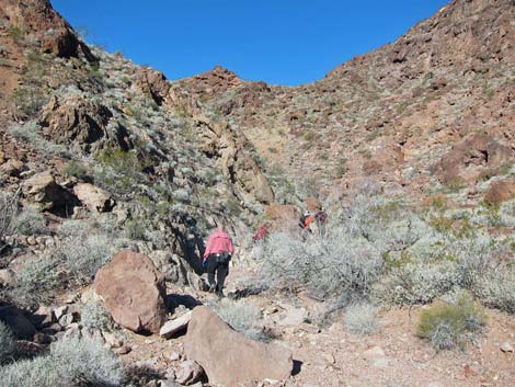 Hikers in the wash |
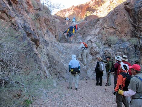 Hikers climbing the 4th pour-over (Wpt. 06) |
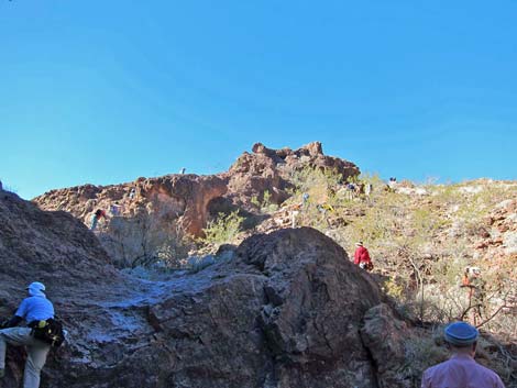 One hiker climbing, and others bypassing, the 5th pour-over |
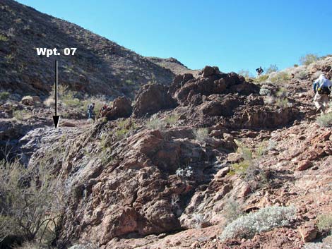 Hikers bypassing the 6th pour-over (Wpt. 07) |
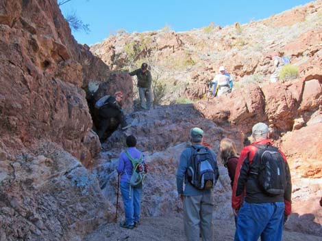 Hikers climbing the 7th pour-over (Wpt. 08) |
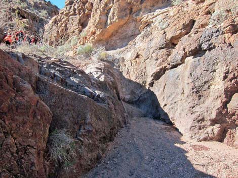 8th pour-over? ... perhaps too low and not worth counting |
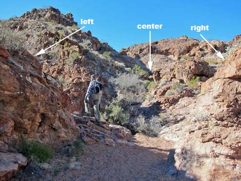 Hiker at 3-way confluence (Wpt. 09) |
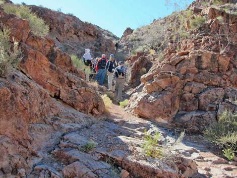 Hikers in left fork at 3-way confluence (Wpt. 09) |
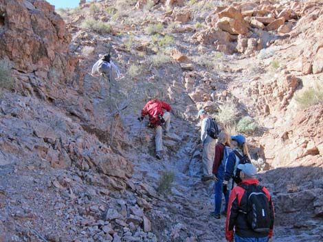 Hikers at another pour-over (Wpt. 10) |
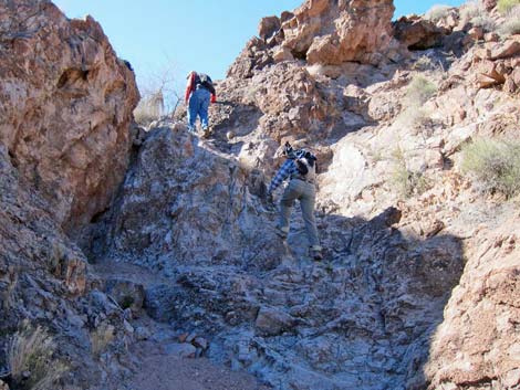 Hikers at yet another pour-over (Wpt. 11) |
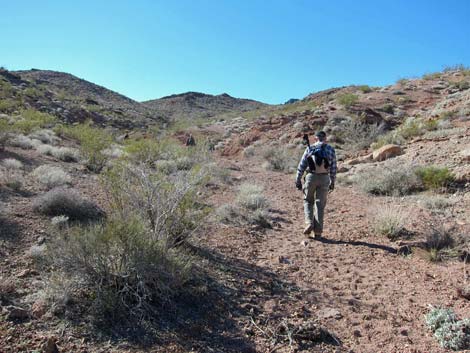 Hiker in gentle wash (view SW) |
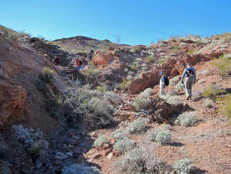 Hikers in the wash (Wpt 12) |
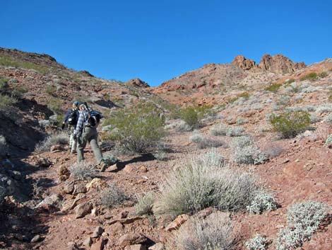 Hikers in the wash (view W) |
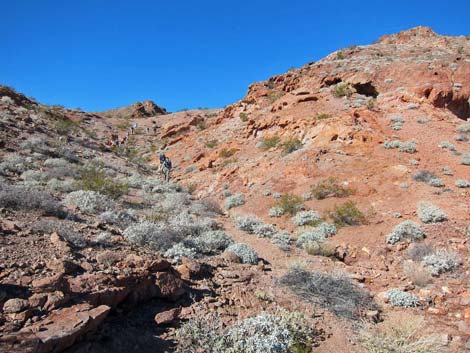 Hikers in the wash, approaching the saddle (view W) |
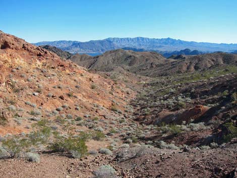 Saddle (Wpt. 13; view E back down the route to Lake Mead) |
Table 1. Hiking Coordinates Based on GPS Data (NAD27; UTM Zone 11S). Download Hiking GPS Waypoints (*.gpx) file.
| Wpt. | Location | UTM Easting | UTM Northing | Elevation (ft) | Point-to-Point Distance (mi) | Cumulative Distance (mi) | Verified |
|---|---|---|---|---|---|---|---|
| 01 | Trailhead | 697353 | 3989405 | 1,473 | 0.00 | 0.00 | GPS |
| 02 | Confluence | 696654 | 3989234 | 1,580 | 0.55 | 0.55 | Yes |
| 03 | 1st Pour-Over | 696633 | 3989258 | 1,595 | 0.02 | 0.57 | GPS |
| 04 | 2nd Pour-Over | 696593 | 3989281 | 1,640 | 0.05 | 0.62 | GPS |
| 05 | 3rd Pour-Over | 695947 | 3989529 | 1,860 | 0.56 | 1.18 | GPS |
| 06 | 4th Pour-Over | 695601 | 3989434 | 2,003 | 0.37 | 1.55 | GPS |
| 07 | Top of 5-6 Pour-Overs | 695558 | 3989398 | 2,064 | 0.06 | 1.61 | GPS |
| 08 | 7th Pour-Over | 695329 | 3989341 | 2,103 | 0.16 | 1.77 | GPS |
| 09 | Confluence of 3 Washes | 695304 | 3989325 | 2,119 | 0.03 | 1.80 | GPS |
| 10 | 8th Pour-Over | 695301 | 3989307 | 2,129 | 0.02 | 1.82 | GPS |
| 11 | 9th Pour-Over | 695301 | 3989284 | 2,155 | 0.02 | 1.84 | GPS |
| 12 | Wash Forks | 695176 | 3989038 | 2,245 | 0.20 | 2.04 | GPS |
| 13 | Saddle | 694908 | 3989052 | 2,383 | 0.20 | 2.24 | GPS |
| 01 | Trailhead | 697353 | 3989405 | 1,473 | 2.24 | 4.48 | GPS |
Happy Hiking! All distances, elevations, and other facts are approximate.
![]() ; Last updated 240326
; Last updated 240326
| Hiking Around Lake Mead | Hiking Around Las Vegas | Glossary | Copyright, Conditions, Disclaimer | Home |