
Hiking Around Las Vegas, Mount Charleston Area, Kyle Canyon

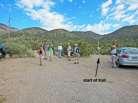 Trailhead Parking area (Wpt. 01) |
Overview The Lower Telephone Canyon Trail is a fairly easy partial loop in the pinyon-juniper forest of Lower Kyle Canyon, an area becoming popular with hikers and mountain bikers. This trail begins along Kyle Canyon Road and follows or parallels Telephone Canyon Road about half-way up Telephone Canyon, ending at an open area on a hillside with pleasant views and a good stopping point for lunch. Coming back down, an alternate ending makes the partial loop. This is a good place to hike between seasons when higher elevations are snow-covered and lower elevations are getting too hot. Link to Hiking Map. |
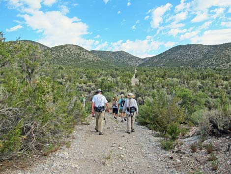 Beginning of the trail |
Watch Out Other than the standard warnings about hiking in the mountains, this trail is pretty safe and without unusual hazards except for careening mountain bikers. The trail is not very strenuous, making it a nice way to hike at moderate elevations with few oxygen deficit issues. While hiking, please respect the land and the other people out there, and try to Leave No Trace of your passage. This hike is not in a too remote area, so just bring what you need of the 10 Essentials. Getting to the Trailhead This hike is located up in the Spring Mountains National Recreation Area along Kyle Canyon Road below the tall trees and Spring Mountains Visitor Center, about 30 minutes northwest of Las Vegas. From Las Vegas, drive out highway 95 to Kyle Canyon Road, then up to the Lower Telephone Canyon Trailhead. |
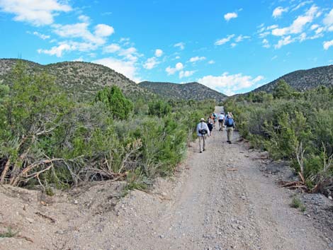 Hikers on Telephone Canyon Road |
The Hike From the trailhead (Table 1, Waypoint 01), the trail runs north-northwest on the little used Telephone Canyon Road. Almost immediately, the trail crosses a washed out gully that stops most vehicles from starting this way (drivers can go around). Shortly beyond the ditch, the trail intersects Forest Road 45530A (Wpt 02). Coming back, the partial loop rejoins the out-bound trail here. Through this area, the route gently climbs the alluvial fan below Telephone Canyon where the vegetation is dominated by Curl-leaf Mountain Mahogany, Big Sagebrush, and a few Singleleaf Pinyon Pine and Utah Juniper. Continuing north-northwest on Telephone Canyon Road, the road intersects a horse trail at about 0.35 miles out. Hikers returning via the partial loop will see this trail again. Continuing north-northwest, the trail reaches a trail junction (Wpt. 03) with a mountain bike trail just as Telephone Canyon Road begins to enter Telephone Canyon. |
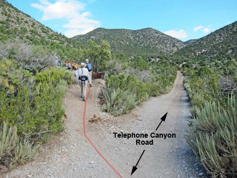 Departing Telephone Canyon Road (Wpt. 03) |
At the trail junction (Wpt. 03), this trail turns left and follows the mountain bike trail as it climbs the hillside above on gently sloped S-curves, eventually gaining some elevation above the canyon bottom. With few trees, there are nice views out over Kyle Canyon from this area. The trail climbs through several curves, then angles off across the hillside generally following the contour up into the canyon. Staying more-or-less level, the trail runs northwest into the canyon, but the canyon bottom continues to rise, and eventually (about 1 mile out) the trail ends up back in the bottom of the canyon and in a dense forest of pinyon pine, juniper, and Gambel Oak. In this forest, watch for Panamint Chipmunks, the lower-elevation cousin of the Mt. Charleston Chipmunk. The bottom of the canyon is broad enough that the trail runs separately from the old road, and although there seem to be lots of little trails running here and there, they stay in the bottom of the canyon and the "main" trail is fairly easy to follow. Of course, hikers could always walk on the dirt road, but the trees block the view of the road, so hikers might not be aware of the nearby road. |
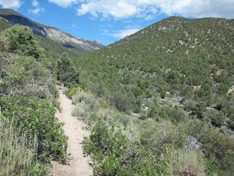 Nice views above S-curves (view NW) |
After winding among the trees for about 1 mile, the trail reaches a more obvious junction with another mountain bike trail (Wpt. 04). At this point, the route leaves the main trail and begins climbing the hillside to the west. Shortly, another trail junction is reached (Wpt. 05), and at that point, the route wanders off trail into an opening with nice views (Wpt. 06). This is the end of the "Lower" Telephone Canyon Trail and a nice place to sit, relax, take in the view (as good as it gets), and eat a bit of lunch. Hikers could wander farther up Telephone Canyon on trails that eventually would reach the Robber's Roost Trailhead or even Hilltop Campground. |
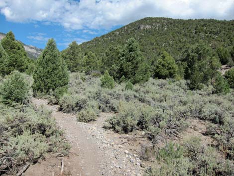 Nice views above S-curves (view NW) |
Heading down, the hike follows the trail back down through the forest and down the sunny S-curves to Telephone Canyon Road (Wpt. 03). However, at this point, the hike continues across Telephone Canyon Road, staying on the bike trail, which also is used by horses at this point (evidenced by dust and stink). This begins the partial loop. Fortunately, the horses quickly leave the trail at a junction where hikers stay to the left (Wpt. 07); the remainder of this segment of trail is much less dusty. The trail eventually intersects an old road (Wpt 08) and turns right. Following the road west, it intersects Telephone Canyon Road (Wpt. 02) to close the partial loop. Turning left onto Telephone Canyon Road, the hike crosses the gully and returns to the trailhead (Wpt. 01). |
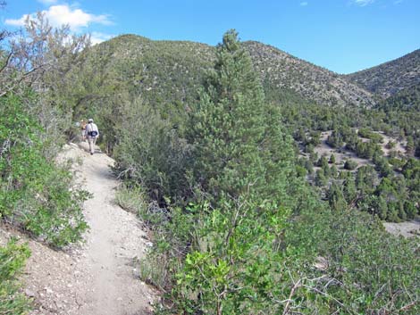 Nice views above S-curves (view NW) |
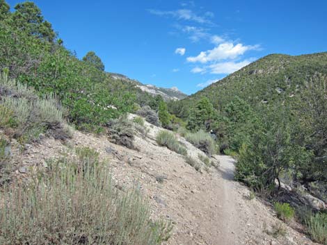 Nice views above S-curves (view NW) |
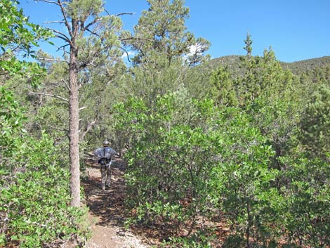 Hiker among trees in bottom of Telephone Canyon (view NW) |
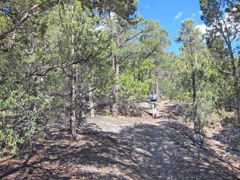 Hiker among trees in bottom of Telephone Canyon (view NW) |
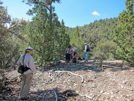 Hikers at lunch spot (Wpt. 06; view W) |
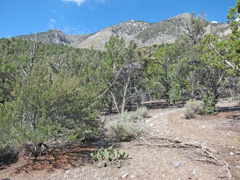 Nice view at lunch spot (Wpt. 06; view W) |
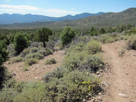 Top of the S-curves (view S) |
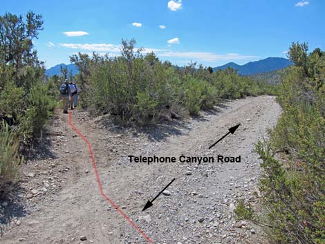 Hikes crossing Telephone Canyon; starting partial loop (view SE) |
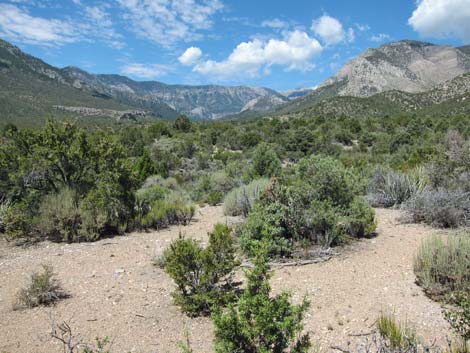 Scenery (view W up Kyle Canyon to Mt. Charleston) |
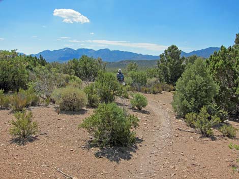 Scenery (view SE across Kyle Canyon to La Madre Mountain) |
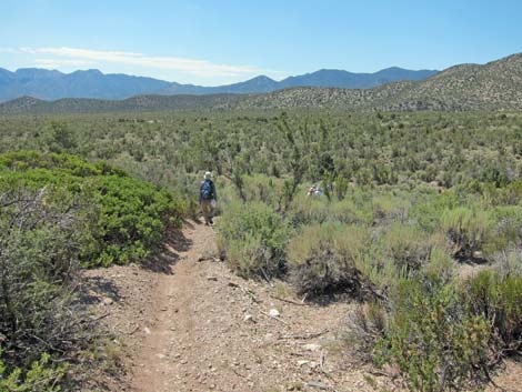 Hiker on trail (view S) |
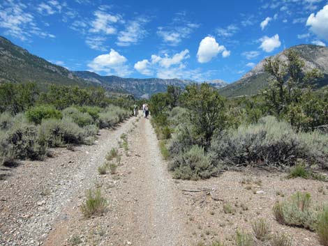 Hikers on Forest Road 45530A nearing the trailhead (view W) |
Table 1. Hiking Coordinates Based on GPS Data (NAD27; UTM Zone 11S). Download Hiking GPS Waypoints (*.gpx) file.
| Wpt. | Location | UTM Easting | UTM Northing | Elevation (ft) | Point-to-Point Distance (mi) | Cumulative Distance (mi) | Verified |
|---|---|---|---|---|---|---|---|
| 01 | Trailhead | 628520 | 4014746 | 6,267 | 0.00 | 0.00 | GPS |
| 02 | Forest Road 25871 | 628499 | 4014811 | 6,289 | 0.05 | 0.05 | GPS |
| 03 | Mtn. Bike Trail | 628268 | 4015592 | 6,506 | 0.51 | 0.56 | GPS |
| 04 | Trail Junction | 626589 | 4016702 | 7,048 | 1.44 | 2.00 | GPS |
| 05 | Trail Junction | 626578 | 4016685 | 7,056 | 0.02 | 2.02 | GPS |
| 06 | Lunch Spot | 626581 | 4016670 | 7,079 | 0.02 | 2.04 | GPS |
| 03 | Mtn Bike Trail | 628268 | 4015592 | 6,506 | 1.45 | 3.49 | GPS |
| 07 | Trail Junction | 628535 | 4015415 | 6,508 | 0.23 | 3.72 | GPS |
| 08 | Road Junction | 628944 | 4014803 | 6,321 | 0.54 | 4.26 | GPS |
| 02 | Forest Road 25871 | 628499 | 4014811 | 6,289 | 0.29 | 4.55 | GPS |
| 01 | Trailhead | 628520 | 4014746 | 6,267 | 0.05 | 4.60 | GPS |
Happy Hiking! All distances, elevations, and other facts are approximate.
![]() ; Last updated 240329
; Last updated 240329
| Hiking Around Mt Charleston | Hiking Around Las Vegas | Glossary | Copyright, Conditions, Disclaimer | Home |