
Backroads Around Las Vegas, Red Rock Canyon National Conservation Area

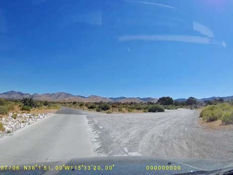 Lovell Canyon Rd at Rainbow Spring Road (view N) |
Overview Rainbow Spring Road is an unmaintained backcountry road north of Highway 160 (the road to Pahrump) on the west side of the Spring Mountains that provides access to Rainbow Spring, Bootleg Spring, Little Zion, and the wild backcountry of Red Rock Canyon National Conservation Area. The road is 3.1 miles long and runs west from Lovell Canyon Road towards the back of the Red Rock Escarpment. the road starts in Mojave Desert Scrub vegetation, but quickly gets into the Pinyon-Juniper Woodland. Rainbow Spring Road is suitable for high-clearance vehicles, but some parts are a bit soft, and hikers with 2WD might want to stop at Bootleg Spring rather than Rainbow Spring. Camping is permitted near the beginning of the road on USFS land, but not at the end of the road inside Red Rock Canyon NCA. Link to map. |
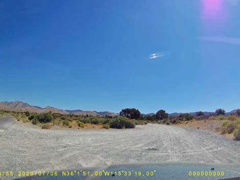 Rainbow Spring Road departing Lovell Canyon Road (view NE) |
Watch Out Other than the standard warnings about driving in the desert, ...this is a fairly good road. Under the best conditions, the road should be passable for carefully driven sedans, weather permitting, but parts are a bit soft. Near Lovell Canyon Road, the area is used for illegal target shooting, so don't get too far off the road in that area if you hear gunshots. While out, please respect the land and the other people out there, and try to Leave No Trace of your passage. Also, even though this road is short, be sure to bring what you need of the 10 Essentials. |
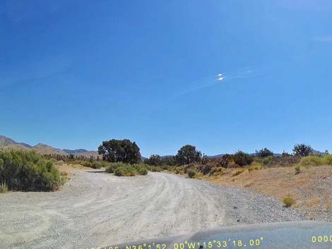 Start of Rainbow Spring Road (stay right; view NE) |
Getting to the Roadhead This road ends in Red Rock Canyon NCA, but on the west side of the mountain range. From town, drive out to Red Rocks. From West Charleston at the entrance to the Scenic Loop Road (Table 1, Site 0519), continue west on Charleston Blvd (Hwy 159) all the way past Blue Diamond town to Highway 160 (Site 0848). Turn right onto Highway 160, towards Pahrump, and drive west and over the mountains. About 3 miles past the town of Mountain Springs, turn right onto Lovell Canyon Road (Site 1013). Watch for highway signs. Drive north on Lovell Canyon Road for 1.0 miles to an unsigned dirt road on the right (Site 1014). This dirt road is U.S. Forest Service Road 45537F (Rainbow Spring Road), and it leads to Rainbow and Bootleg springs. |
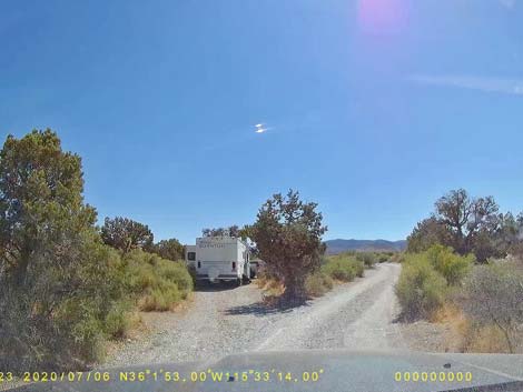 Campsite along Rainbow Spring Road (view NE) |
The Road From the pavement (Site 1014), Rainbow Spring Road runs east. In the first 1/4-mile, there are a number of campsites, pullouts, multiple roads, and other apparent roadways, but the main road stays to the right. Past the first 1/4-mile, there is only one road. At about 0.4 miles out, a dirt powerline road to the north marks the boundary of the Rainbow Mountain Wilderness Area. Beyond the powerlines, everything on the left side of the road is designated Wilderness. At about 1.9 miles from the pavement (Site 1015), the road leaves U.S. Forest Service land (Spring Mountains NRA) and enters BLM land (Red Rock Canyon NCA), although the sign might be a bit onto USFS land. |
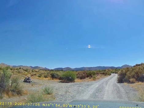 Campsite along Rainbow Spring Road (view NE) |
Although not legal, the road passes a traditional campsite on the left at about 2.30 miles out. At about 2.83 miles out, the road passes a short spur road to Bootleg Spring. For drivers who found the road challenging, especially near this point, stop here and walk the rest of the way as the road deteriorates rapidly past here because of water running in the roadway. Continuing another 0.3 miles, Rainbow Spring Road ends at a narrow spot in the canyon (Site 1071) at a post-and-pipe fence. Park here; this is the trailhead. |
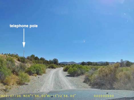 Rainbow Spring Road approaching Pole Line Road (view NE) |
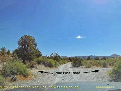 Rainbow Spring Road at Pole Line Road (view NE) |
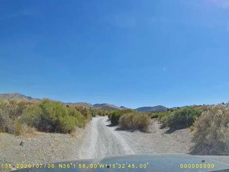 Rainbow Spring Road (view NE) |
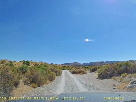 Campsite along Rainbow Spring Road (view NE) |
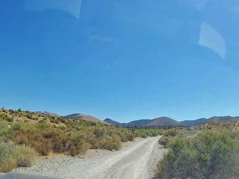 |
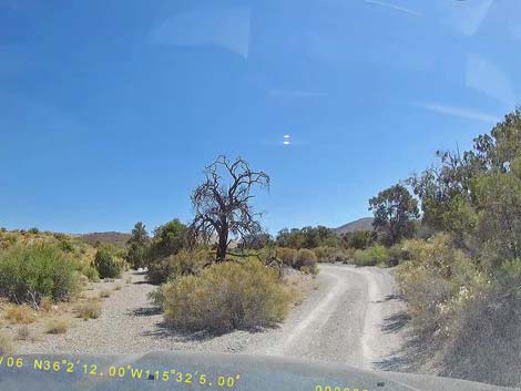 |
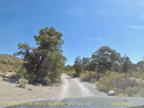 Rainbow Spring Road (view NE) |
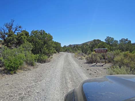 Rainbow Spring Rd approaching Red Rock Canyon boundary (view NE) |
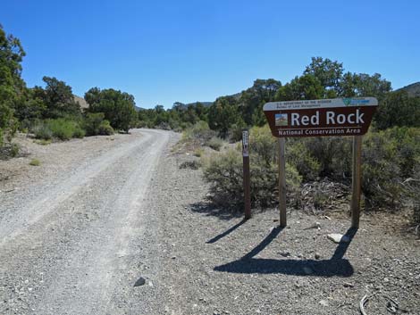 Entering Red Rocks; 1.80 miles out |
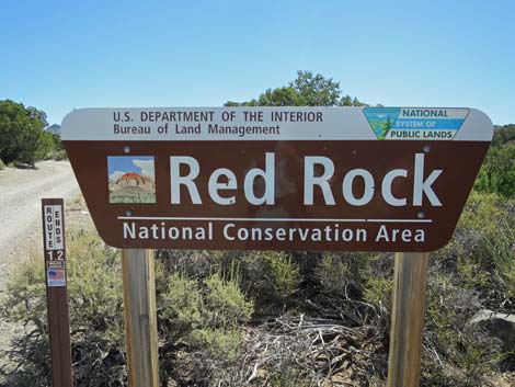 Rainbow Spring Road at Red Rock Canyon boundary (view NE) |
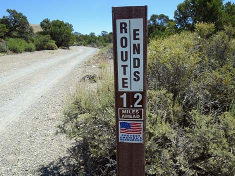 Rainbow Spring Road end in 1.2 miles (view NE) |
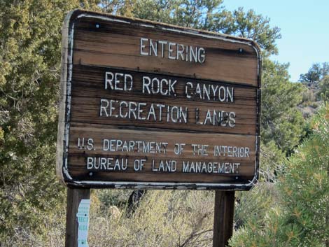 Historical Red Rock Canyon boundary sign (view NE) |
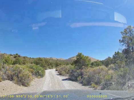 |
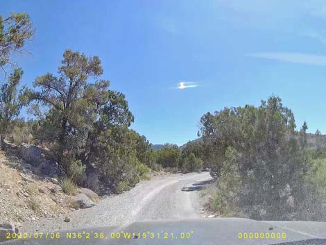 |
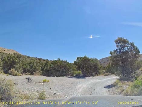 Campsite along Rainbow Spring Road (view NE) |
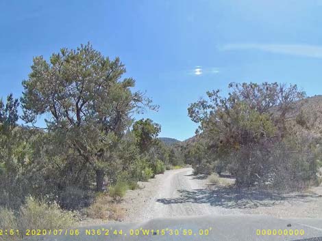 Rainbow Spring Road (view NE) |
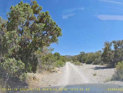 Campsite along Rainbow Spring Road (view NE) |
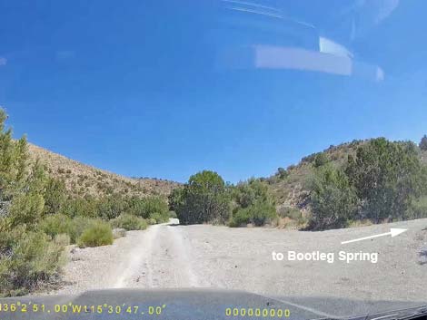 Rainbow Spring Road at Bootleg Spring Road (view NE) |
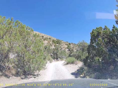 Rainbow Spring Road (view NE) |
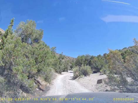 Rainbow Spring Road (view NE) |
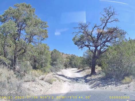 Rainbow Spring Road (view NE) |
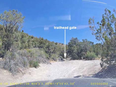 Rainbow Spring Road approaching trailhead parking (view NE) |
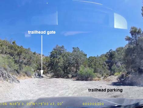 Rainbow Spring Road at trailhead parking (view NE) |
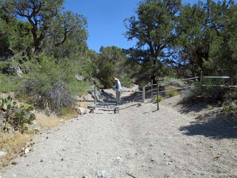 Fence at the end of the road (view NE) |
Table 1. Backroad Coordinates Based on GPS Data (NAD27; UTM Zone 11S). Download Roadway GPS Waypoints (*.gpx) file.
| Site | Location | Easting | Northing | Elevation | Latitude (N) | Longitude (W) | Verified |
|---|---|---|---|---|---|---|---|
| 0519 | Charleston Blvd at Scenic Loop Entrance | 642120 | 3999525 | 3,681 | 36.13183 | 115.42059 | Yes |
| 0848 | Hwy 160 at Blue Diamond Rd | 647933 | 3988875 | 3,169 | 36.03498 | 115.35801 | Yes-2 |
| 1013 | Hwy 160 at Lovell Canyon Rd. | 629717 | 3986740 | 4,643 | 36.01833 | 115.56049 | GPS |
| 1014 | Lovell Canyon Rd. at Rainbow Spring Rd. | 630234 | 3988179 | 4,825 | 36.03124 | 115.55451 | GPS |
| 1015 | Rainbow Spring Rd. at UFSF-BLM Boundary | 632830 | 3989327 | 5,155 | 36.04123 | 115.52551 | GPS |
| 1071 | Rainbow Spring Trailhead | 634157 | 3990503 | 5,496 | 36.05165 | 115.51059 | GPS |
Happy Hiking! All distances, elevations, and other facts are approximate.
![]() ; Last updated 240330
; Last updated 240330
| Backroads | Hiking Around Las Vegas | Glossary | Copyright, Conditions, Disclaimer | Home |